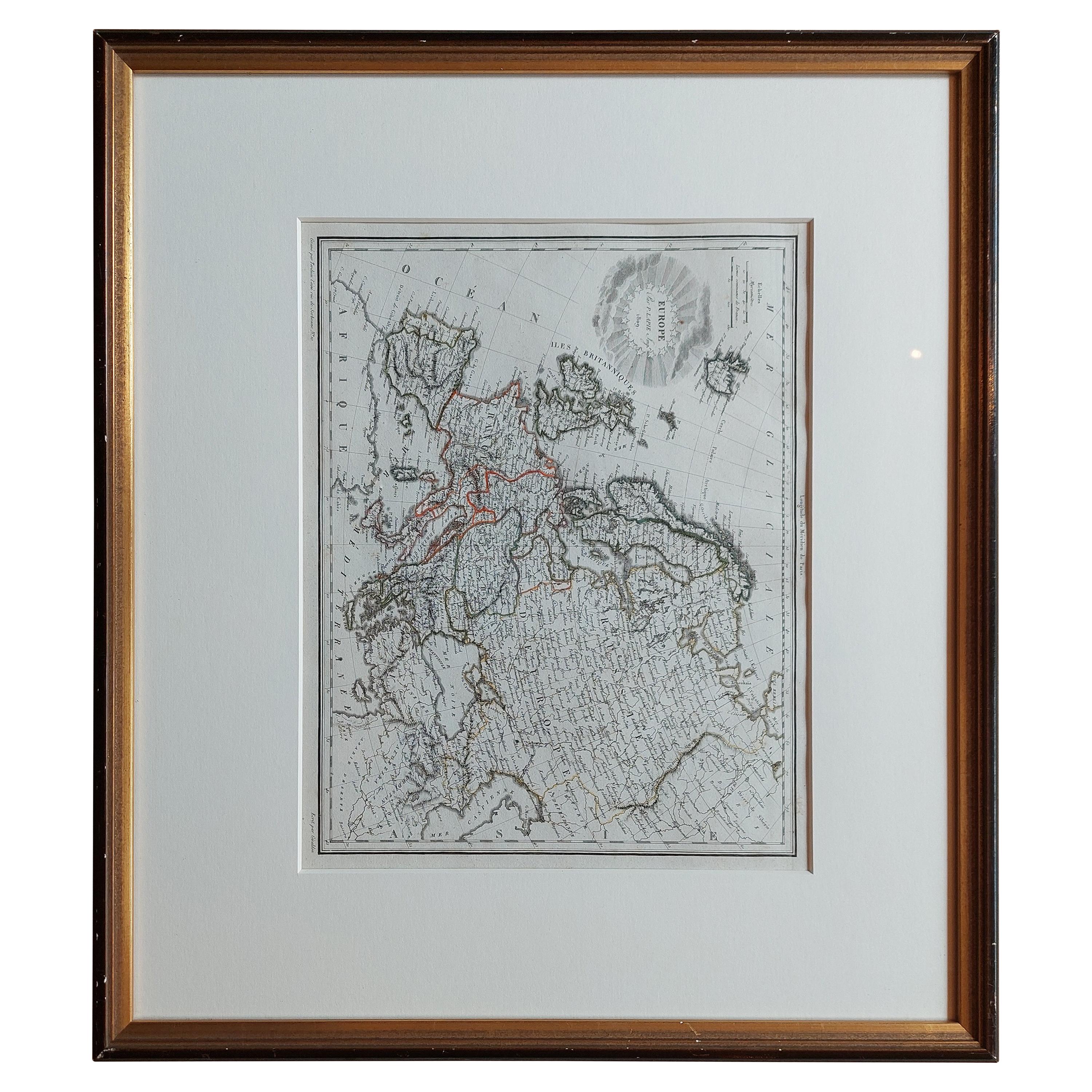
Map of Europe
View Similar Items


1 of 10
Map of Europe
About the Item
- Dimensions:Height: 55.5 in (140.97 cm)Width: 54 in (137.16 cm)Depth: 1 in (2.54 cm)
- Style:Art Deco (Of the Period)
- Materials and Techniques:
- Place of Origin:
- Period:
- Date of Manufacture:1930s
- Condition:Wear consistent with age and use. Has some foxing on lower section of map. See photos.
- Seller Location:Madison, WI
- Reference Number:1stDibs: LU92359139101
You May Also Like
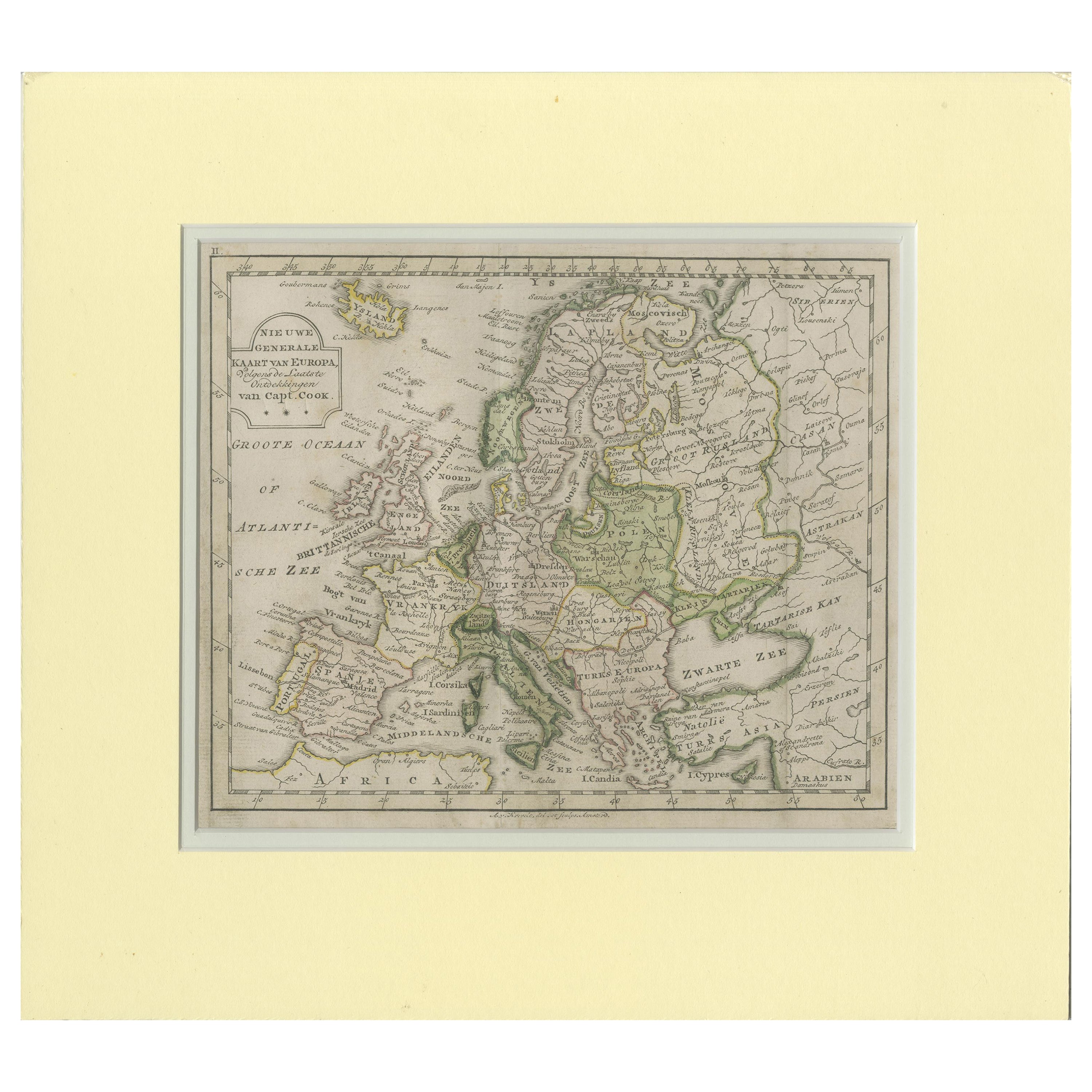
- Antique Map of Northern Europe and European Russia, ca.1780Located in Langweer, NLAntique map titled 'Le Nord de L'Europe, Contenant Le Danemark, La Norwege; La Suede et La Laponie avec la Majeure Partie de al Russie Europeenne.' Map of Northern Europe and Eur...Category
Antique 1780s Maps
MaterialsPaper
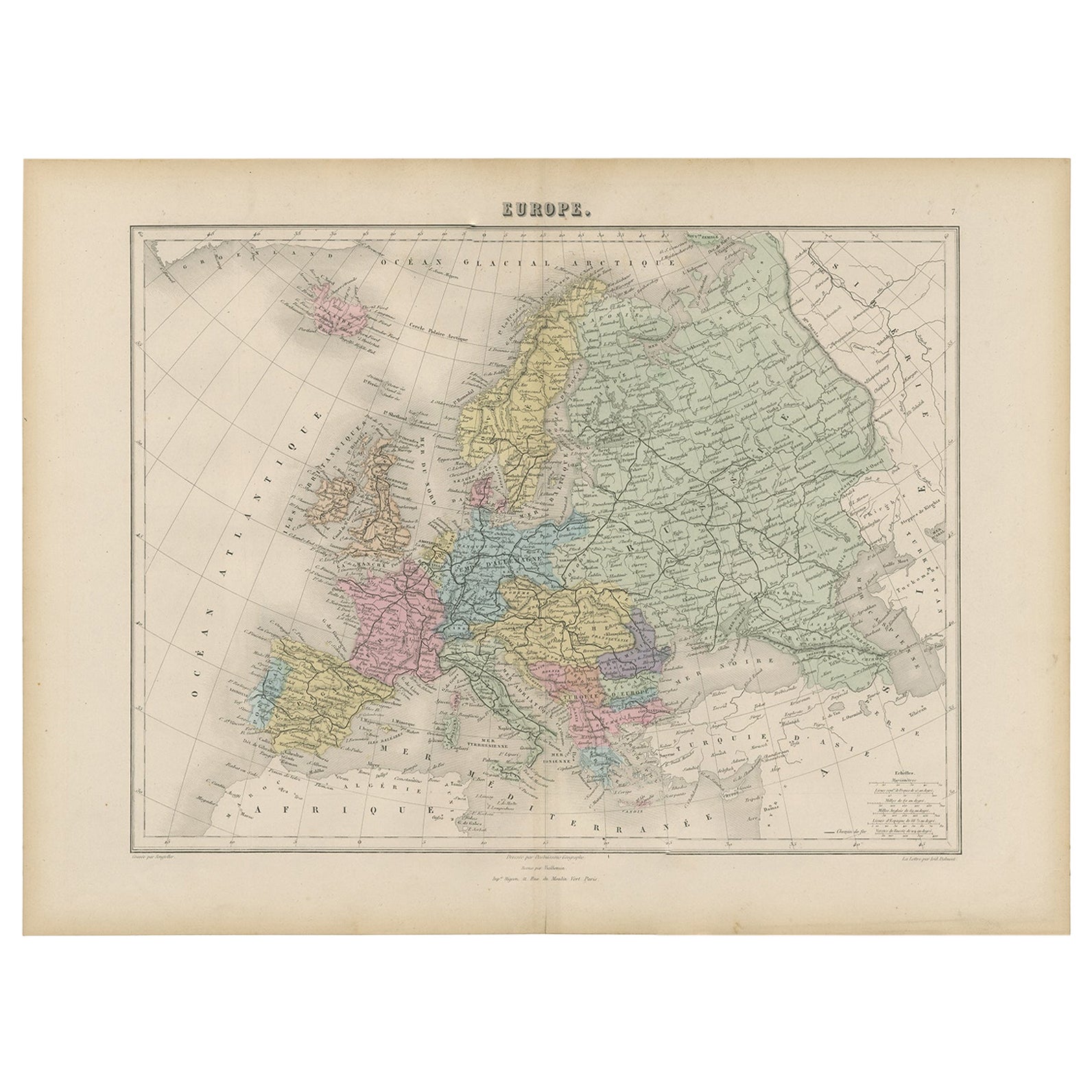
- Antique Map of Europe by Levasseur, '1875'Located in Langweer, NLAntique map titled 'Carte générale de l'Europe'. Large map of Europe. This map originates from 'Atlas de Géographie Moderne Physique et Politique' by A. Levasseur. Published 1875.Category
Antique Late 19th Century Maps
MaterialsPaper
 $327 Sale Price40% Off
 - Antique Map of Europe by Johnson, '1872'Located in Langweer, NLAntique map titled 'Johnson's Europe'. Original map of Europe. This map originates from 'Johnson's New Illustrated Family Atlas of the World' by A.J. Johnson. Published 1872.Category
Antique Late 19th Century Maps
MaterialsPaper
 $305 Sale Price20% Off
 - Antique Map of Europe by Lowry, 1852Located in Langweer, NLAntique map titled 'Europe'. Original map of Europe. This map originates from 'Lowry's Table Atlas constructed and engraved from the most recent authorities' by J.W. Lowry. Published...Category
Antique Mid-19th Century Maps
MaterialsPaper
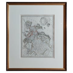
- Antique Map of Europe by Lapie, '1809'Located in Langweer, NLAntique map titled 'Europe'. Original antique map of Europe by P. Lapie, published 1809. Frame included.Category
Antique Early 19th Century Maps
MaterialsPaper
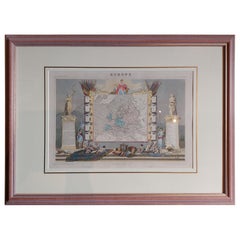
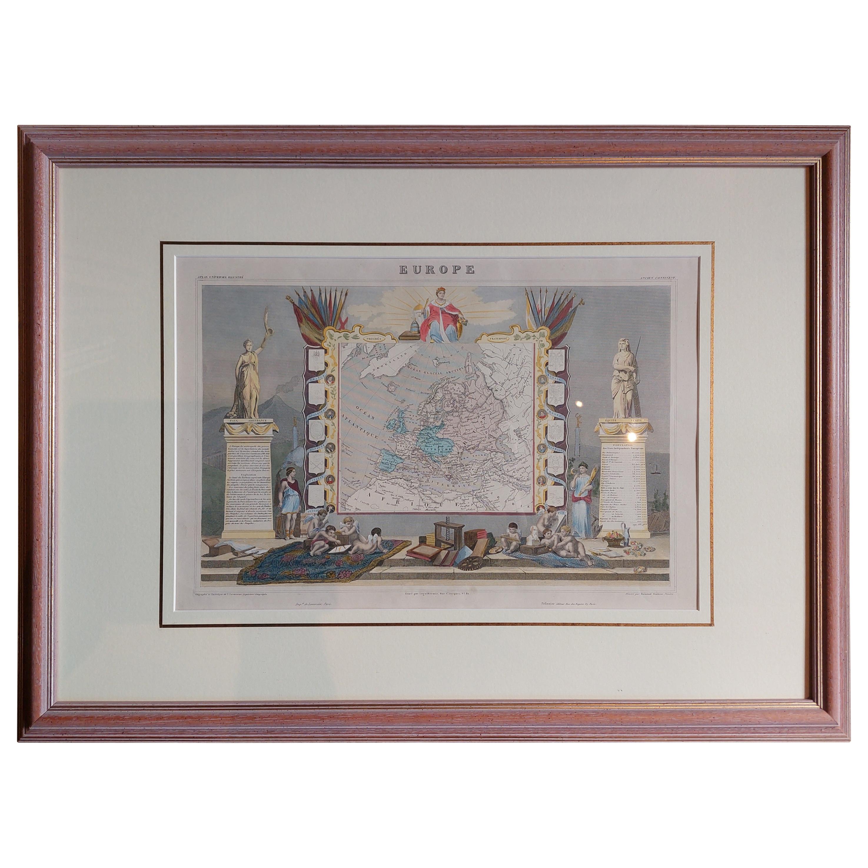
- Antique Map of Europe by Levasseur 'c.1840'Located in Langweer, NLAntique map titled 'Europe'. Original antique map of Europe. Decorative map of the continent surrounded by allegorical vignettes. Engraved by Raimond Bonheur, father of the famous Fr...Category
Antique Mid-19th Century Maps
MaterialsPaper