Items Similar to Map Lancashire 1793 John Cary engraver 37cm 14 1/2" high
Want more images or videos?
Request additional images or videos from the seller
1 of 8
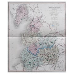
Map Lancashire 1793 John Cary engraver 37cm 14 1/2" high
About the Item
Map of Lancashire by John Cary engraver
published 1st Jan 1793 by J Cary Engraver & Mapseller Strand
in original black and gold classic map frame
- Dimensions:Height: 14.57 in (37 cm)Width: 12.6 in (32 cm)Depth: 0.79 in (2 cm)
- Style:Georgian (Of the Period)
- Materials and Techniques:
- Place of Origin:
- Period:
- Date of Manufacture:1793
- Condition:Wear consistent with age and use.
- Seller Location:BUNGAY, GB
- Reference Number:1stDibs: LU3867332645662
About the Seller
5.0
Vetted Seller
These experienced sellers undergo a comprehensive evaluation by our team of in-house experts.
Established in 1985
1stDibs seller since 2018
84 sales on 1stDibs
Typical response time: 7 hours
- ShippingRetrieving quote...Ships From: BUNGAY, United Kingdom
- Return PolicyA return for this item may be initiated within 7 days of delivery.
More From This SellerView All
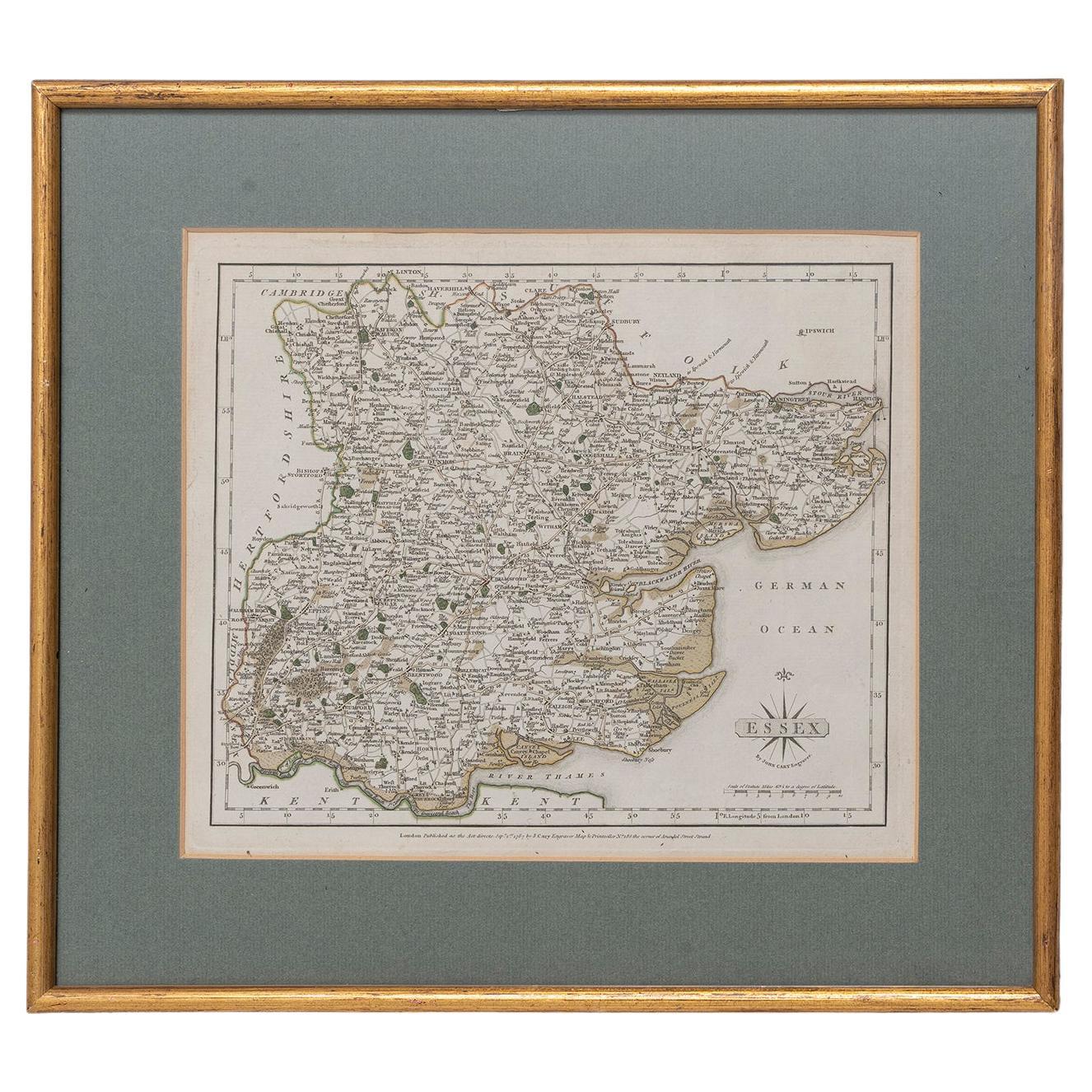
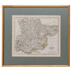
- Essex John Cary 1787 Cary's New & Correct English Atlas 40cm 16" long gilt frameBy John CaryLocated in BUNGAY, SUFFOLKMap of Essex by John Cary Engraver London published as the act directs Sept 1st 1787 by J Cary Engraver Map & Printseller no 188 the corner of Arundel Str...Category
Antique 18th Century English Georgian Maps
MaterialsPaper
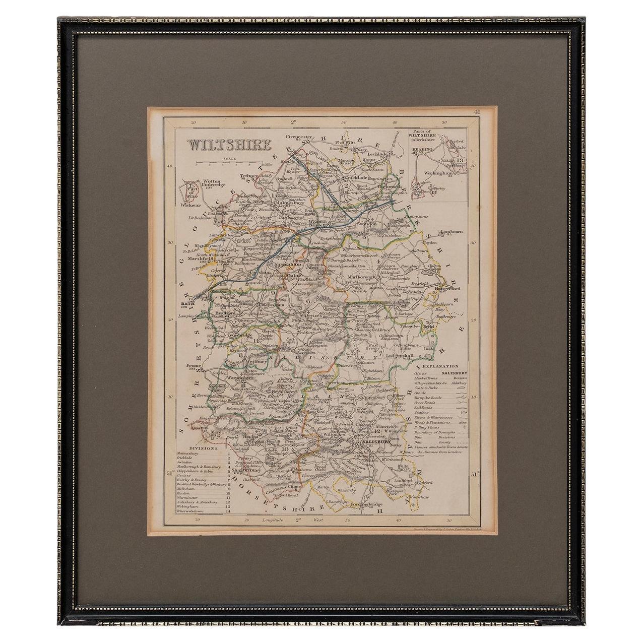
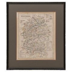
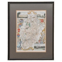
- Map Wiltshire Joshua Archer Pentonville London framed 35cm 14" highLocated in BUNGAY, SUFFOLKMap of Wiltshire Drawn & Engraved by Joshua Archer Pentonville London Window Parts of Wiltshire in Berkshire Explanation of Salisbury County DivisionsCategory
Antique 19th Century English Georgian Maps
MaterialsPaper
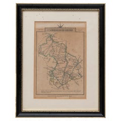
- Cambridgeshire J CaryBy John CaryLocated in BUNGAY, SUFFOLKCambridgeshire published may 1 1814 engraver no 181 strand Maker John Cary c. 1754 – 1835.Category
Antique 19th Century English Georgian Maps
MaterialsPaper
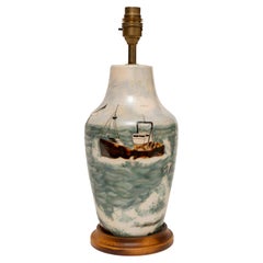
- Lamp Table Vase Cobridge Stoneware Trawler at Sea Seagulls Rock 37cm/14.5" highLocated in BUNGAY, SUFFOLKCOBRIDGE STONEWARE TRAWLER AT SEA, SEAGULLS, ROCK TABLE LAMP, 37cm., 14½” high Captures the atmosphere of a trawler returning to port accompanied by...Category
1990s English Table Lamps
MaterialsStoneware
- Map Nottinghamshire Worksop Manor Newstead Abbey Nottingham Castle Shields H37cmLocated in BUNGAY, SUFFOLKMap of Nottinghamshire with engravings of Worksop Manor Nottingham Castle Newstead Abbey BIBLIOGRAPHY published in Barclay's Universal English Dicti...Category
Antique 19th Century English Victorian Maps
MaterialsPaper
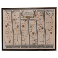
- Road Map, John Ogilby, No 54, London, Yarmouth, BritanniaBy John OgilbyLocated in BUNGAY, SUFFOLKThe Road from London to Yarmouth com. Norfolk. By John Ogilby, His Majesties Cosmographer. Containing 122 miles, 5 furlongs. No 54. From Standard in Co...Category
Antique 1670s English Baroque Maps
MaterialsPaper
You May Also Like
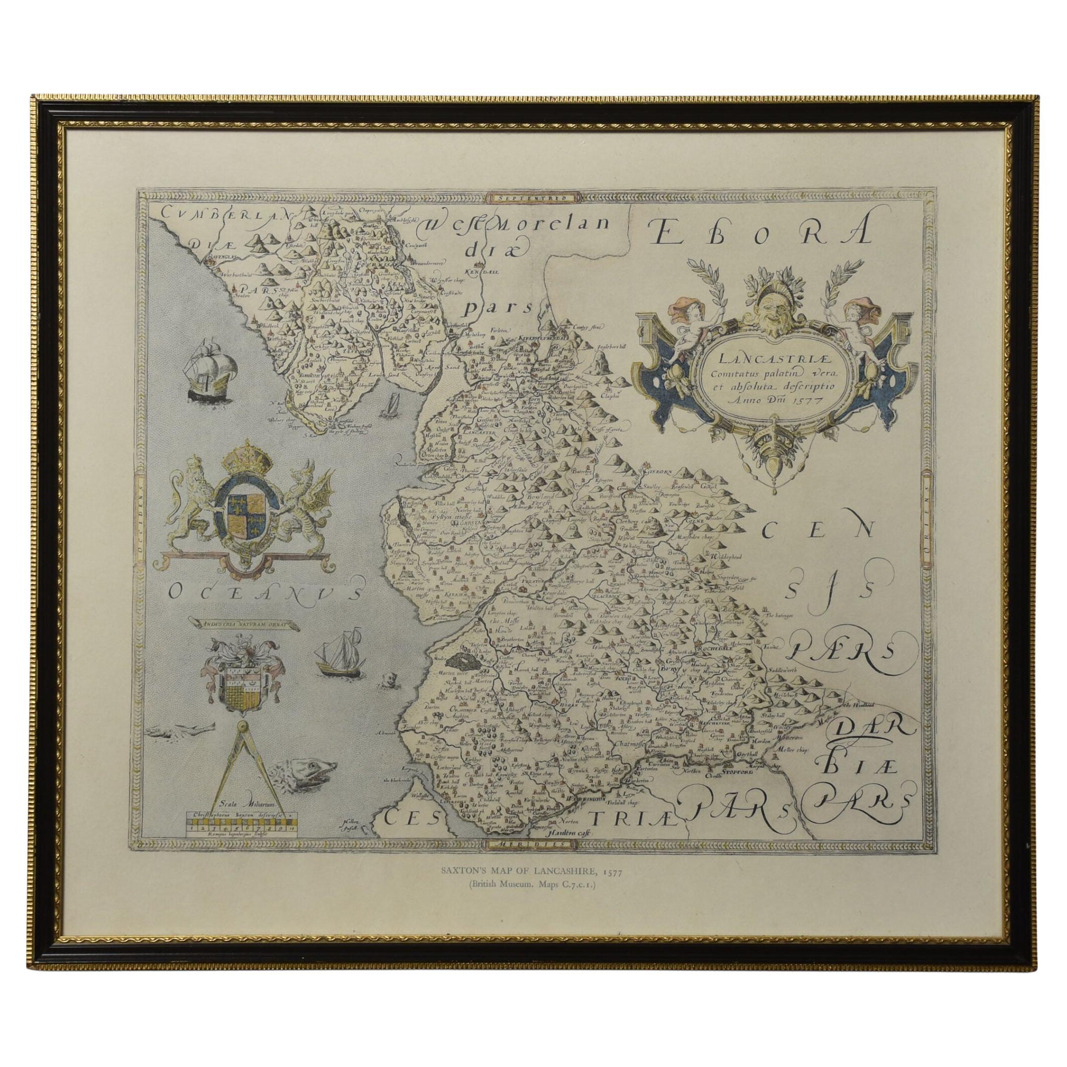
- Map of LancashireLocated in Cheshire, GBSaxton Map of Lancashire hand coloured. Encased in an ebonised frame. Dimensions Height 21 Inches Width 24 Inches Depth 1 InchesCategory
Early 20th Century British Maps
MaterialsPaper
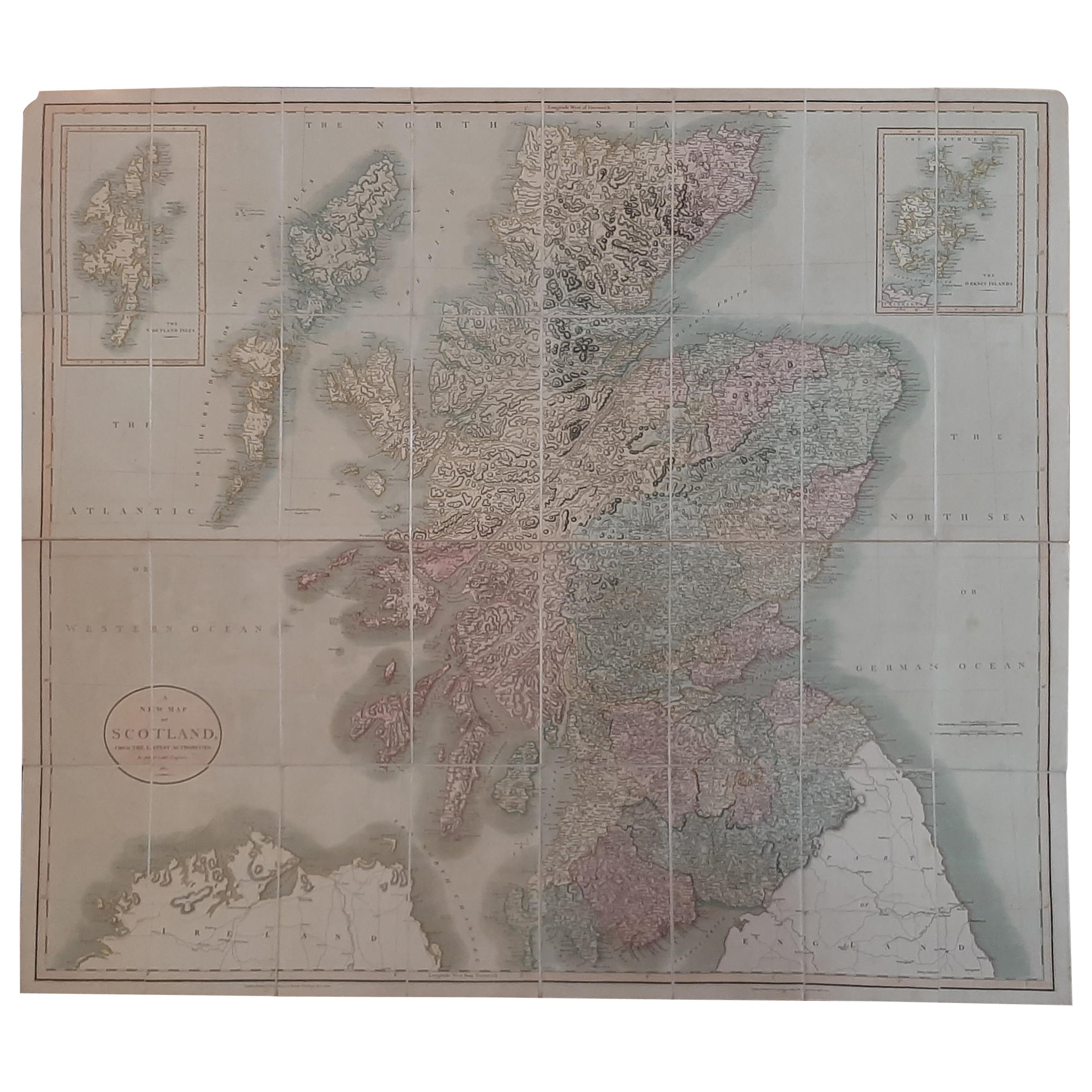
- Antique Map of Scotland by Cary, '1811'Located in Langweer, NLAntique map titled 'A New Map of Scotland from the Latest Authorities': **Title**: A New Map of Scotland from the Latest Authorities **Publisher**: J....Category
Antique Early 19th Century Maps
MaterialsLinen, Paper
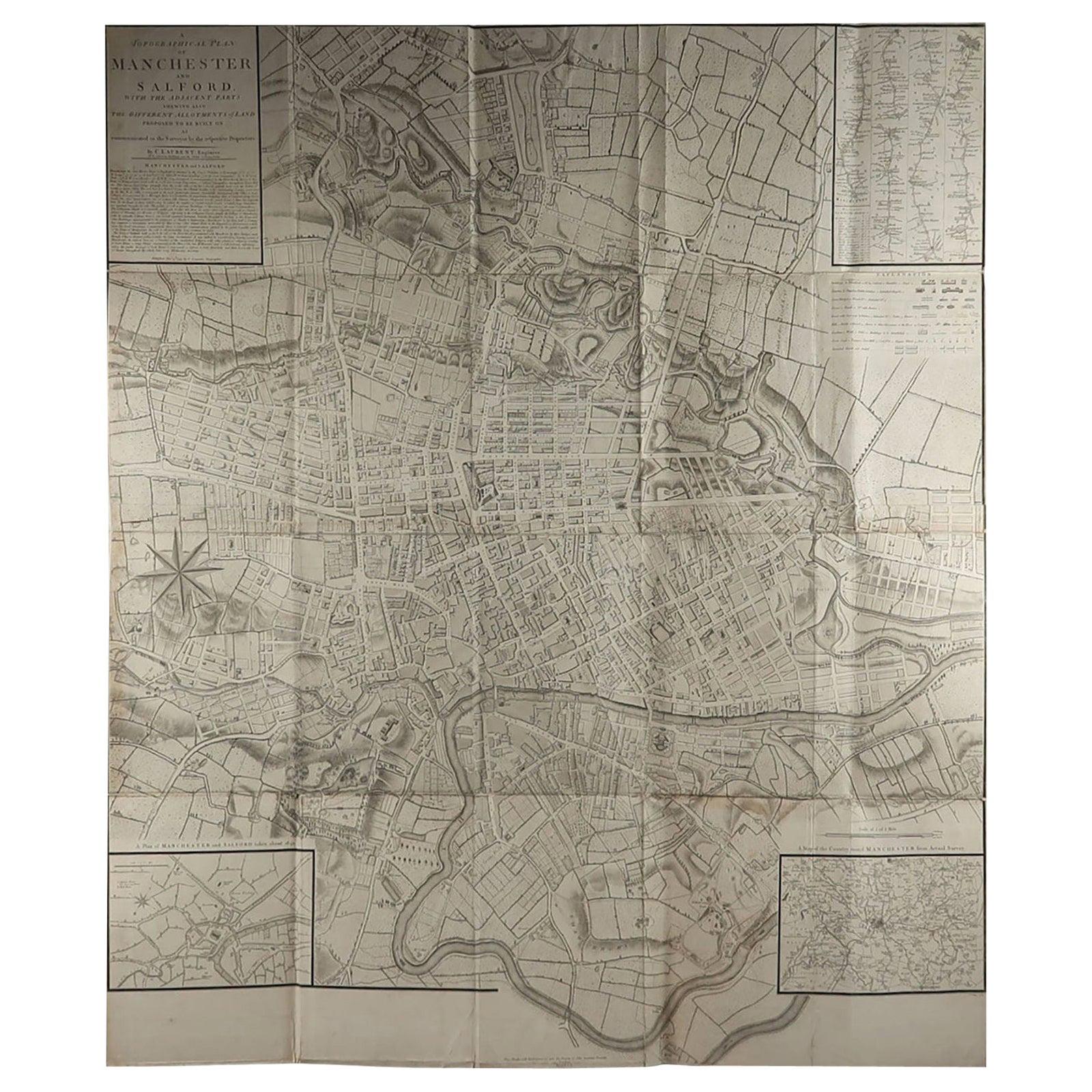
- Large Original Antique Folding Map of Manchester, England, Dated 1793Located in St Annes, LancashireSuperb map of Manchester and Salford Folding map. Printed on paper laid on to the original canvas Unframed. Published by C. Laurent, 1793. ...Category
Antique 1790s English Georgian Maps
MaterialsCanvas, Paper
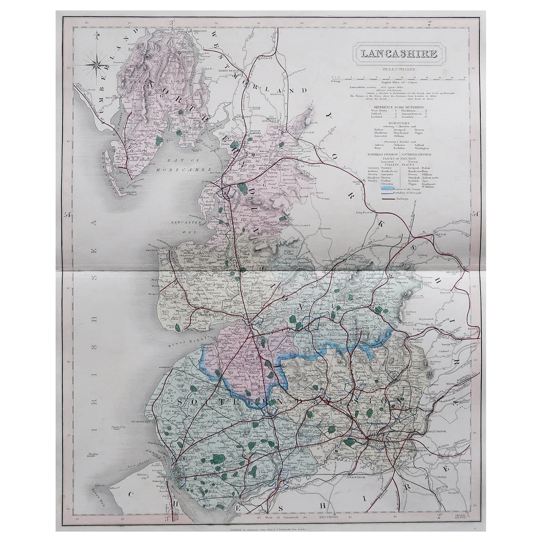
- Original Antique English County Map, Lancashire, J & C Walker, 1851Located in St Annes, LancashireGreat map of Lancashire Original colour By J & C Walker Published by Longman, Rees, Orme, Brown & Co. 1851 Unframed.Category
Antique 1850s English Other Maps
MaterialsPaper
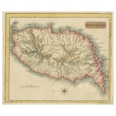
- Copper Engraved Grenada Map by John Thompson Published in 1810Located in Langweer, NLJohn Thomson's original antique map of Grenada, dating back to 1810 and hailing from Edinburgh, stands as a testament to meticulous cartography. This historical piece, adorned with o...Category
Antique Early 19th Century Maps
MaterialsPaper
- 19th Century John Cary Map of North Part of West Riding of Yorkshire, C.1805By John CaryLocated in Royal Tunbridge Wells, KentAntique 19th century British original John Cary sr (1755-1835) map of North part of the West Riding of Yorkshire, From the beft Authorities. Engraved J Car...Category
Antique 19th Century British Maps
MaterialsPaper


Recently Viewed
View AllMore Ways To Browse
Georgian Engraved
Antique Furniture Strand
18th Century Engraved Frame
Lancashire England
Antique Furniture Lancashire
Antique Georgia Map
Georgia Map
Antique Georgia Maps
Maps Of Georgia
Antique Map Of Georgia
Large Map Of London
18th Century Antique Mexican
Victorian Compass
Caribbean Antiques
Framed Atlas Map
Antique Collectors Australia
Antique Furniture Central Coast
Willem Blaeu