Items Similar to Map of Languedoc-Roussillon and Provence in France and Piedmont in Italy, c1680

Want more images or videos?
Request additional images or videos from the seller
1 of 5
Map of Languedoc-Roussillon and Provence in France and Piedmont in Italy, c1680
About the Item
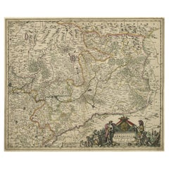
Title: Antique map titled 'La basse Partie du Gouvernement de Languedoc, environne des Frontiers des Gouverns de Provence, de Dauphine de Lyonnais et de Guienne et Gascogne ; Les Frontiers du Principaute de Piemont.'
Very large and highly detailed map of the Languedoc-Roussillon and Provence regions in France and Piedmont in Italy.
Artists and Engravers: Published by Charles Allard.
Condition: Good, given age. Narrow top margin. A few small spots, mainly in the margins. Edges with a few tiny tears, not affecting image. Original folds as issued. General age-related toning and/or occasional minor defects from handling. Please study image carefully.
- Dimensions:Height: 21.19 in (53.8 cm)Width: 35.83 in (91 cm)Depth: 0 in (0.02 mm)
- Materials and Techniques:
- Period:1680-1689
- Date of Manufacture:circa 1680
- Condition:
- Seller Location:Langweer, NL
- Reference Number:
About the Seller
5.0
Platinum Seller
These expertly vetted sellers are 1stDibs' most experienced sellers and are rated highest by our customers.
Established in 2009
1stDibs seller since 2017
1,914 sales on 1stDibs
Typical response time: <1 hour
- ShippingRetrieving quote...Ships From: Langweer, Netherlands
- Return PolicyA return for this item may be initiated within 14 days of delivery.
More From This SellerView All
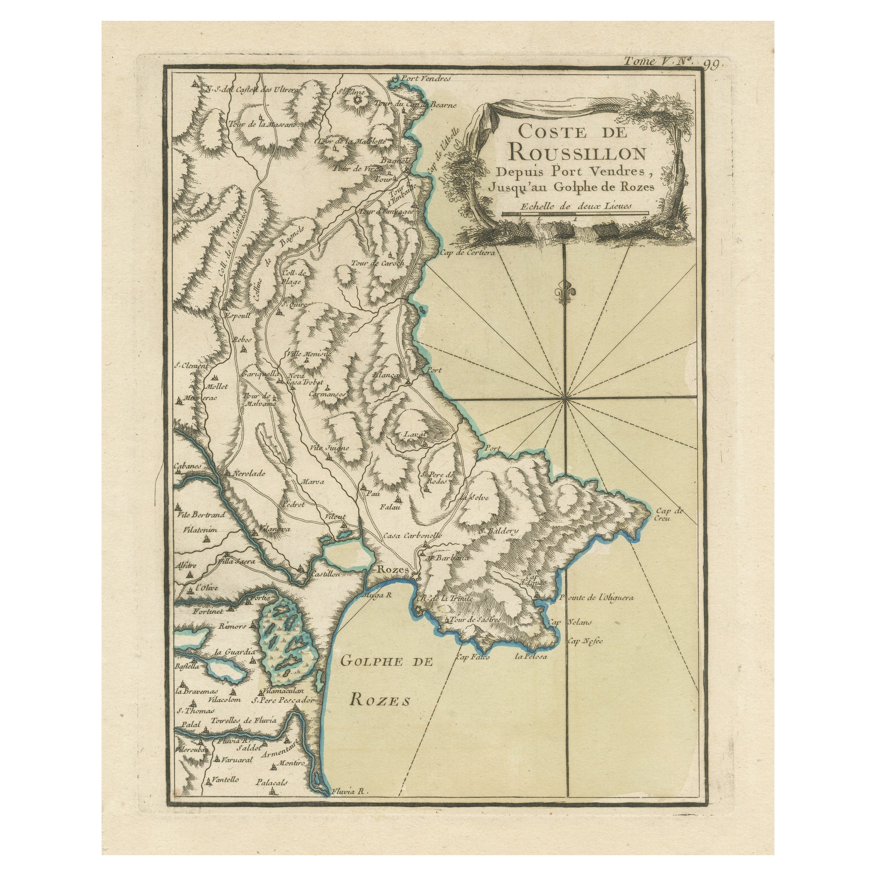
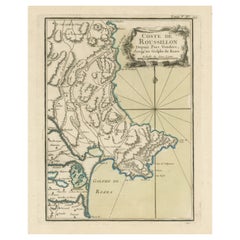
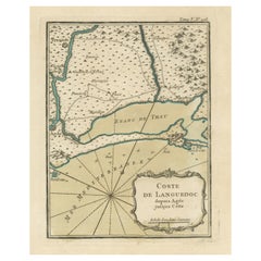
- Antique Map of the Coast of Roussillon, FranceLocated in Langweer, NLAntique map titled 'Coste de Roussillon depuis Port Vendres, jusqu'au golphe de Rozes'. Original map of the coast of Roussillon, France. This map originates from 'Le Petit Atlas Mari...Category
Antique Mid-18th Century Maps
MaterialsPaper
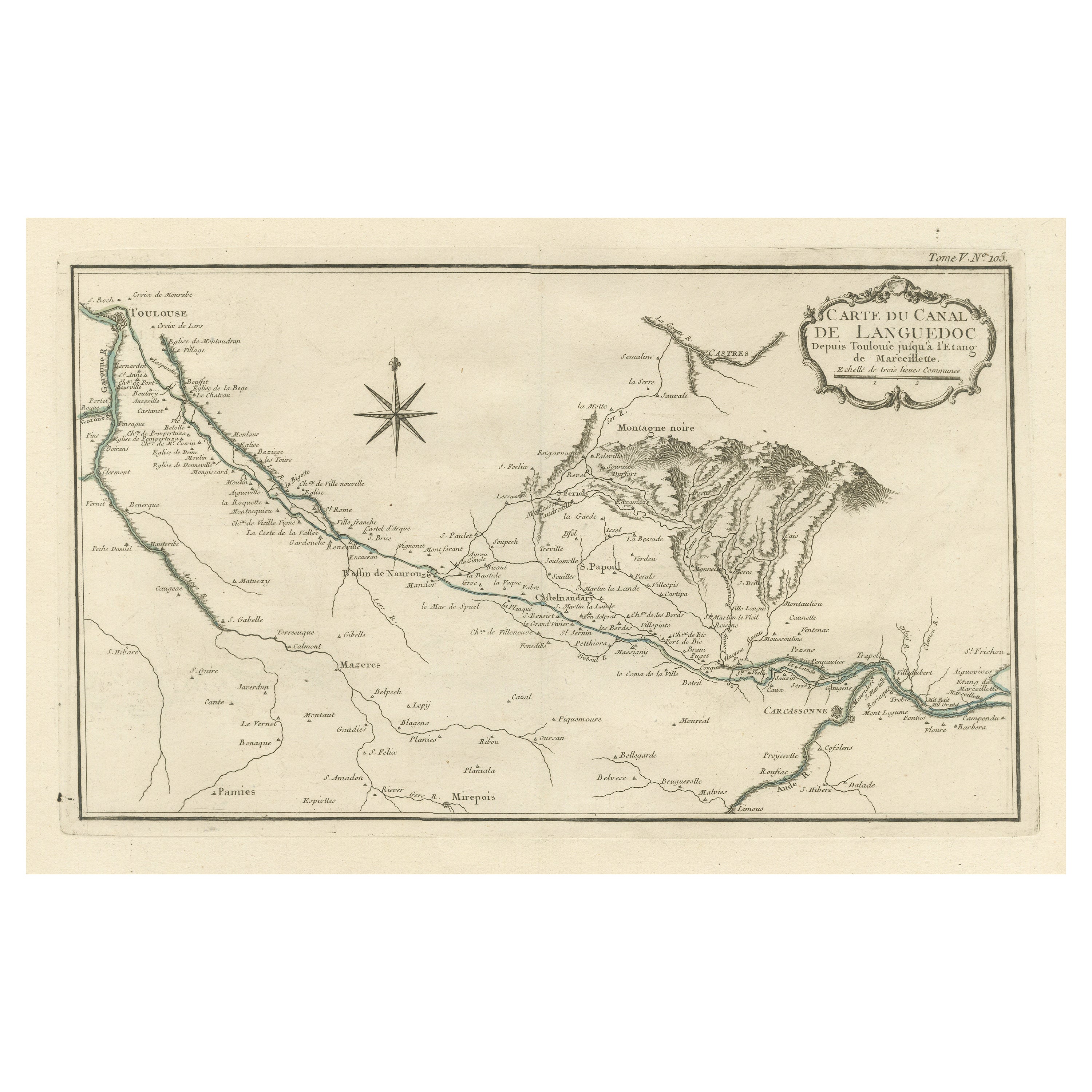
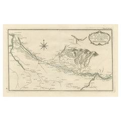
- Antique Map of the Languedoc Canal, Between Touloouse and Marseillette, FranceLocated in Langweer, NLAntique map titled 'Carte du canal de Languedoc depuis Toulouse jusqu'a I'etang de Marceillette'. Original old map of the Languedoc Canal, between Touloouse and Marseillette, France....Category
Antique Mid-18th Century Maps
MaterialsPaper
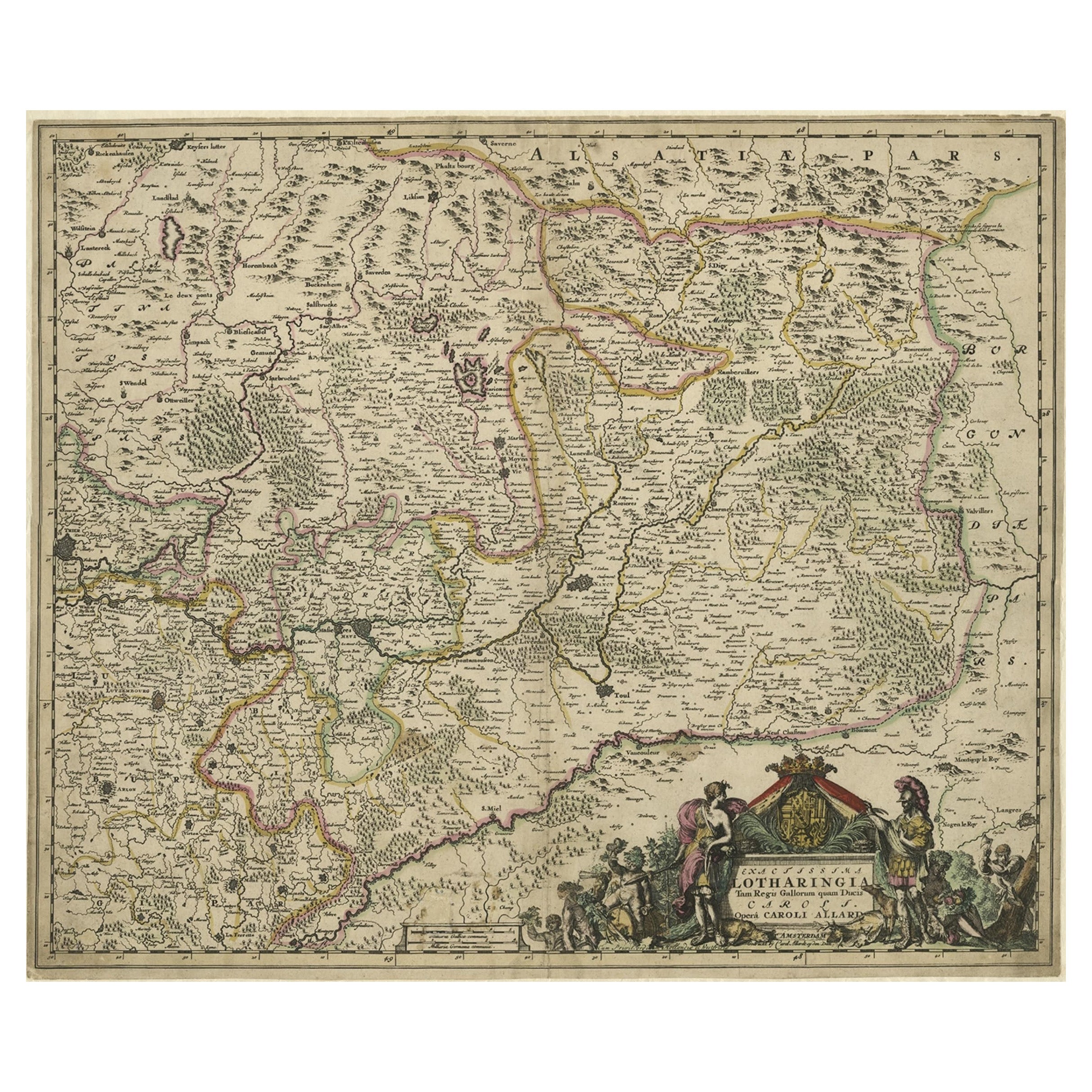
- Striking Antique Map of Luxembourg and Northern France 'Lotharingen', c.1680Located in Langweer, NLDescription: Antique map titled 'Exactissima Lotharingia tam Regis Gallorum quam Ducis.' - Striking map of Luxembourg and Northern France. Includ...Category
Antique 1680s Maps
MaterialsPaper
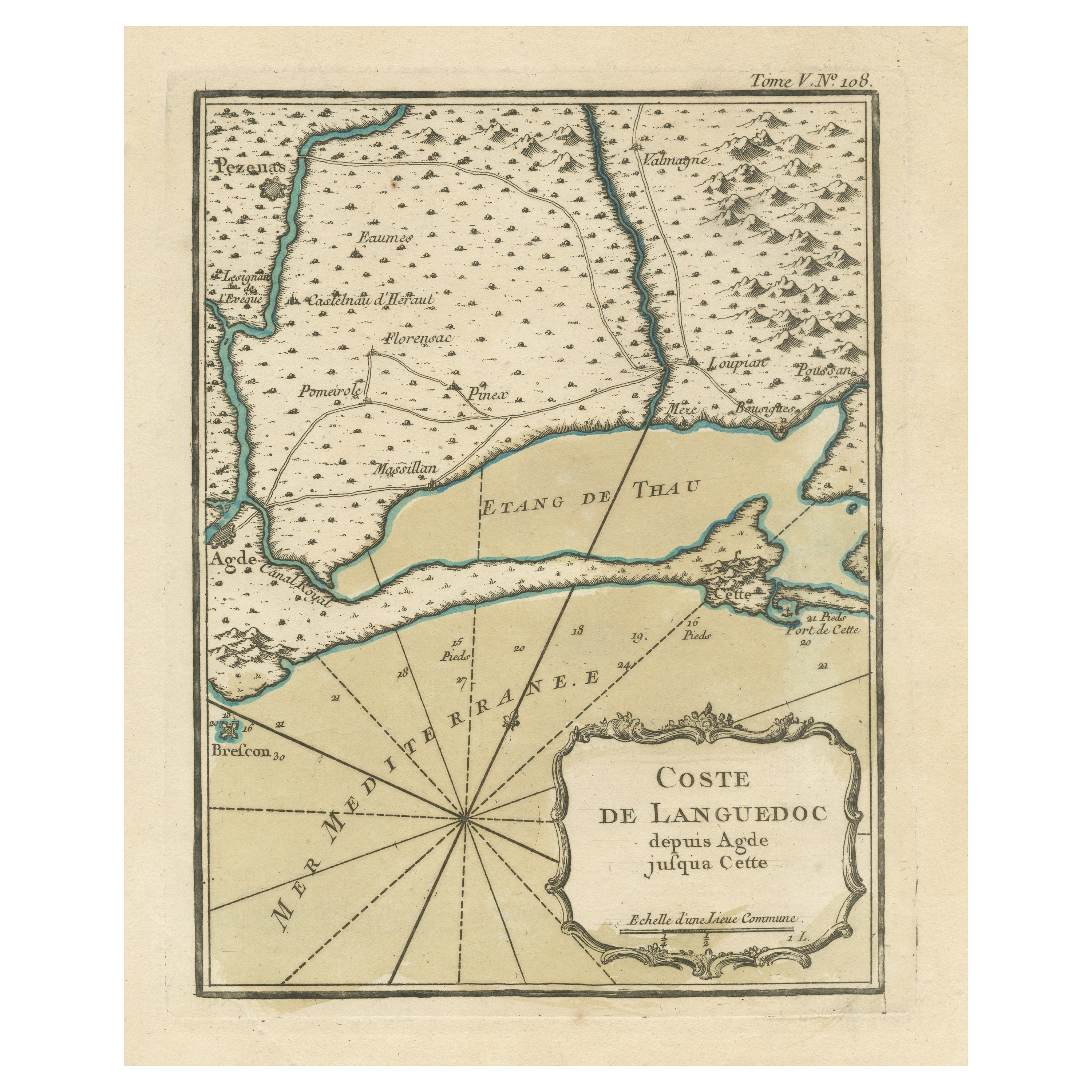
- Antique Map of the Languedoc Coast between Agde and Sète 'Cette', FranceLocated in Langweer, NLAntique map titled 'Coste de Languedoc depuis Agde jusqu'a Cette'. Original map of the Languedoc coast between Agde and Sète (historically Cette), France. This map originates from 'L...Category
Antique Mid-18th Century Maps
MaterialsPaper
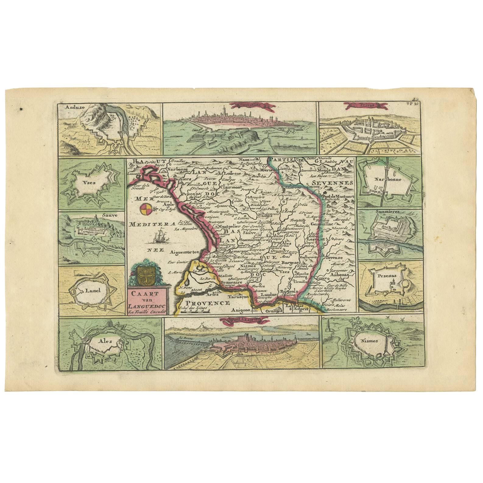
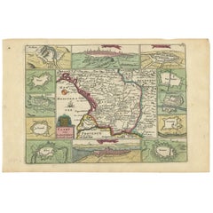
- Antique Map of the Languedoc Region 'France' by D. Weege, 1753Located in Langweer, NLAntique map titled 'Caart van Languedoc'. Map of the Languedoc-Rousillion region in Southern France. Flanked by miniature plans and views of cities of the region like Montpellier, N...Category
Antique Mid-18th Century Maps
MaterialsPaper
- Antique Map of the Rhine and Moselle River Region in Germany and France, c.1680Located in Langweer, NLAntique map titled 'Tabula Geographica qui Pars Meridionalis sive Superior Rheni, Mosae et Mosellae (..).' Detailed map of the Rhine and Moselle River regions and contigous parts...Category
Antique 17th Century Maps
MaterialsPaper

You May Also Like
- Original Antique Map of Italy. Arrowsmith. 1820Located in St Annes, LancashireGreat map of Italy Drawn under the direction of Arrowsmith Copper-plate engraving Published by Longman, Hurst, Rees, Orme and Brown, 1820 Unframed.Category
Antique 1820s English Maps
MaterialsPaper
- Original Antique Map of France, Arrowsmith, 1820Located in St Annes, LancashireGreat map of France Drawn under the direction of Arrowsmith. Copper-plate engraving. Published by Longman, Hurst, Rees, Orme and Brown, 1820 Unframed.Category
Antique 1820s English Maps
MaterialsPaper
- Antique Map of Italy by Andriveau-Goujon, 1843By Andriveau-GoujonLocated in New York, NYAntique Map of Italy by Andriveau-Goujon, 1843. Map of Italy in two parts by Andriveau-Goujon for the Library of Prince Carini at Palazzo Carini i...Category
Antique 1840s French Maps
MaterialsLinen, Paper
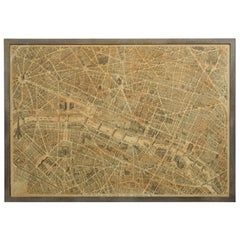
- French 1930s Map of Paris à Vol d'Oiseau under Glass in Custom Iron FrameLocated in Atlanta, GAA French map of Paris from the early 20th century, with custom iron frame. Created in Paris during the second quarter of the 20th century, this map of Paris à vol d'oiseau (as the Cr...Category
Early 20th Century French Prints
MaterialsIron
- The Normandy Region of France: A 17th C. Hand-colored Map by Sanson and JaillotBy Nicolas SansonLocated in Alamo, CAThis large hand-colored map entitled "Le Duché et Gouvernement de Normandie divisée en Haute et Basse Normandie en divers Pays; et par evêchez, avec le Gouvernement General du Havre ...Category
Antique 1690s French Maps
MaterialsPaper
- The Kingdom of Naples and Southern Italy: A Hand-Colored 18th Century Homann MapBy Johann Baptist HomannLocated in Alamo, CA"Novissima & exactissimus Totius Regni Neapolis Tabula Presentis Belli Satui Accommo Data" is a hand colored map of southern Italy and the ancient Kingdom of Naples created by Johann...Category
Antique Early 18th Century German Maps
MaterialsPaper


Recently Viewed
View AllMore Ways To Browse
Piedmont Italy
Piedmont Furniture
Antique Italian Maps
Antique Italy Maps
Antique Maps Italy
Antique Map Italy
Antique Italian Map
Antique Italy Map
Italy Antique Map
Italy Map Antique
Antique Maps Of Italy
Antique Map Of Italy
Map Of Italy Antique
Dauphine Furniture
Large Map Of Italy
Allards Used Furniture
Le Dauphine
Frontier Map