Items Similar to Old Decorative & Highly Detailed Sea Chart of the North Dutch-German Coast, 1681
Want more images or videos?
Request additional images or videos from the seller
1 of 5
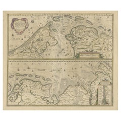
Old Decorative & Highly Detailed Sea Chart of the North Dutch-German Coast, 1681
About the Item
Antique map titled 'Paskaart van een gedeelte van Vriesland, Groeninger, en Emderland. Met zyn onderhoorige Eylanden; Strekkende van't Eylant der Schelling'.
Decorative and highly detailed sea chart of part of the Dutch Coast, centered on Emden, the mouth of the river Ems and some offshore islands Wangerode, Nordernei, Borkum, Ameland, Schiermonnikoog. Van Keulen's fine chart locates anchorages, shoals, soundings and nany other deails and place names mostly along the coast of the North Sea. Includes a striking cartouche and other embellishment.
Artists and Engravers: Johannes van Keulen (1654, Deventer - 1715, Amsterdam) was a 17th-century Dutch cartographer. He published the influential nautical atlas the Zee-Atlas and the pilot guide Zee-Fakkel (meaning Sea-Torch in English).
Condition: Fair. Minor soiling. Several repairs, mainly at the bottom. Small tear in the middle. Please study image carefully.
- Dimensions:Height: 21.38 in (54.3 cm)Width: 23.82 in (60.5 cm)Depth: 0 in (0.02 mm)
- Materials and Techniques:
- Period:1680-1689
- Date of Manufacture:1681
- Condition:Repaired: Several repairs, mainly at the bottom. Wear consistent with age and use.
- Seller Location:Langweer, NL
- Reference Number:
About the Seller
5.0
Platinum Seller
These expertly vetted sellers are 1stDibs' most experienced sellers and are rated highest by our customers.
Established in 2009
1stDibs seller since 2017
1,914 sales on 1stDibs
Typical response time: <1 hour
- ShippingRetrieving quote...Ships From: Langweer, Netherlands
- Return PolicyA return for this item may be initiated within 14 days of delivery.
More From This SellerView All
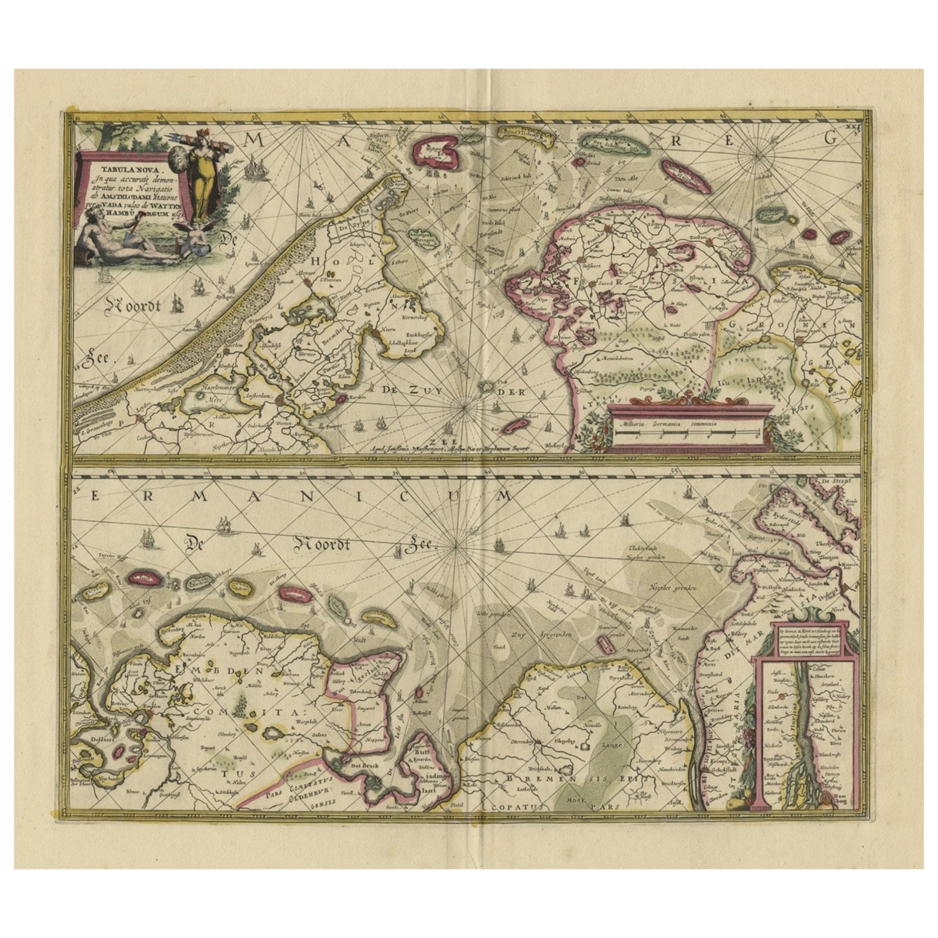
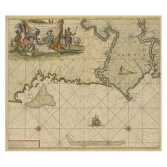
- Antique Engraving of Dutch and German North Sea Coast of Friesland, ca.1680Located in Langweer, NLAntique map titled 'Tabula Nova In qua accuratè demonstratur tota Navigatio ab Amstelodami Statione per Vada vulgo de Watten Hamburgum usq.' - Two maps with the Dutch and German North Sea coast of Friesland, with West Frisian Islands and below East Frisian Islands with inset map of the Elbe around Hamburg. With title and a scale cartouche. Map by Henricus Hondius...Category
Antique 1680s Maps
MaterialsPaper
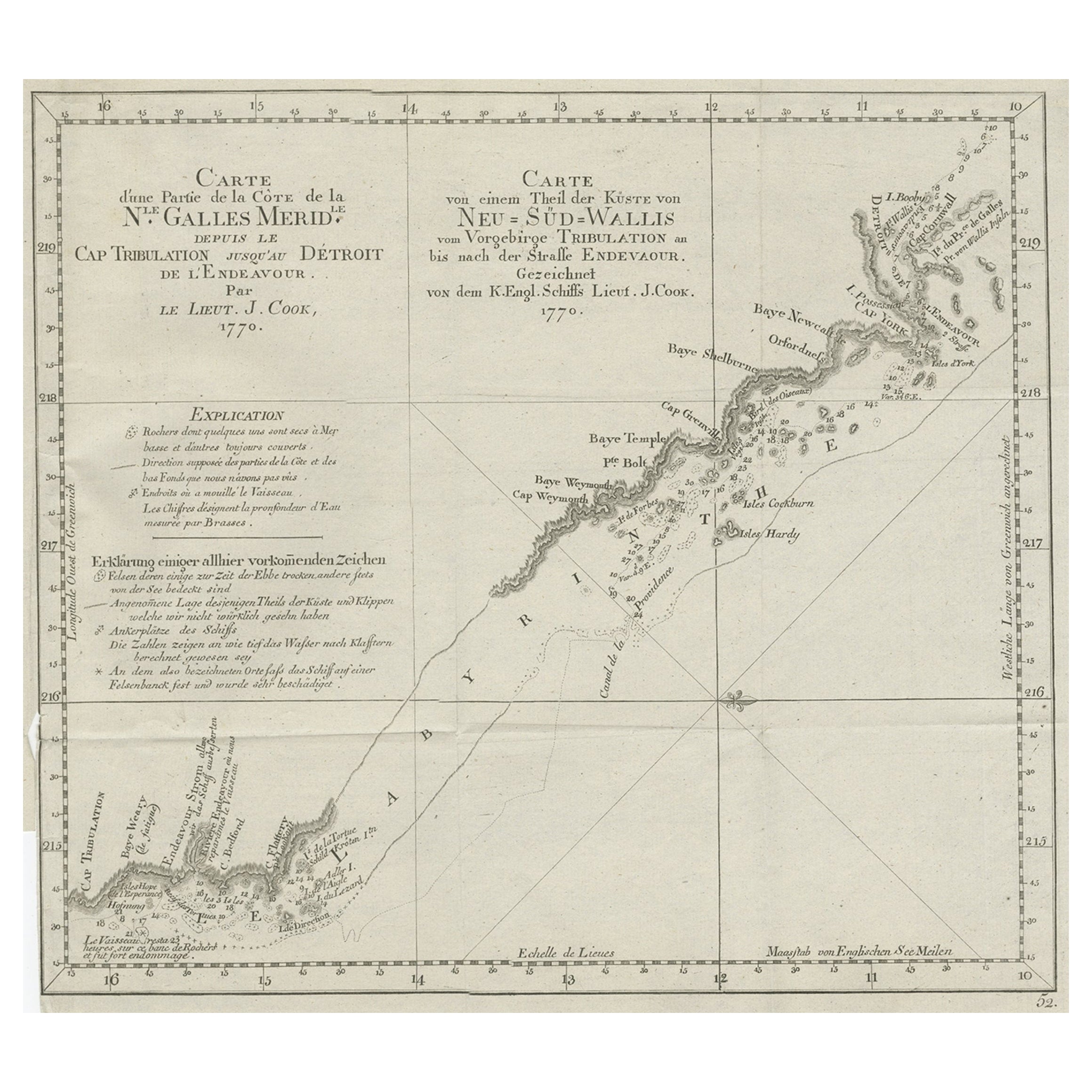
- Old Chart of the North-Eastern Coast of Australia Discovered by Cook, 1774Located in Langweer, NLAntique print titled Carte d'une Partie de la Cote de la N.le Galles Merid etc. An interesting chart of the north-eastern coast of Australia discovered by Cook in 1770, showing th...Category
Antique 1770s Maps
MaterialsPaper
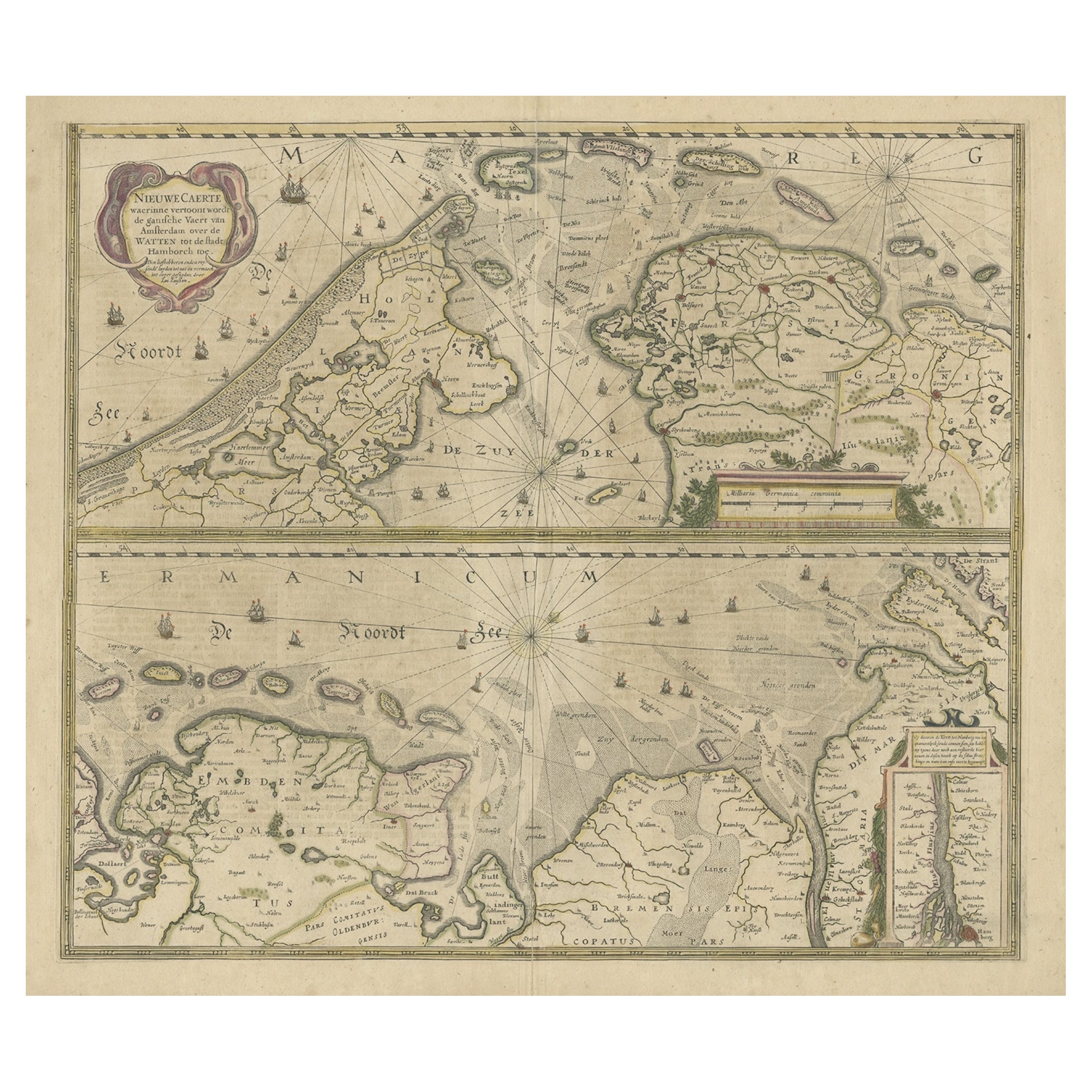
- Two Original Antique Engravings with the Dutch and German North Sea Coast, c1650Located in Langweer, NLAntique map titled 'Nieuwe Caerte waerinne vertoont wordt de gantsche Vaert van Amsterdam over de Watten tot de stadt Hamborch toe'. Two maps with the Dutch and German North Sea ...Category
Antique 1650s Maps
MaterialsPaper
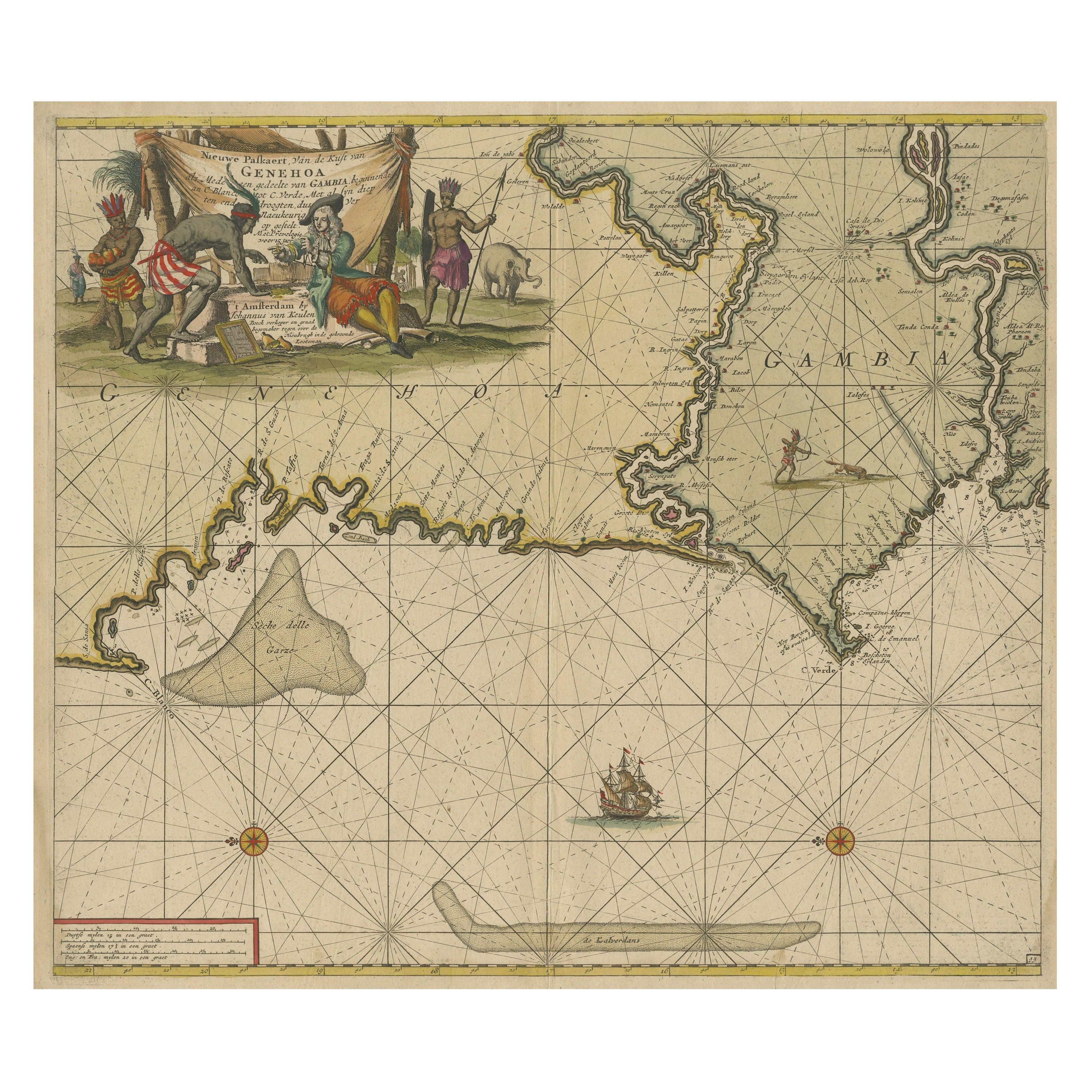
- Antique Sea Chart of the Western Coast of AfricaLocated in Langweer, NLAntique map titled 'Nieuwe Paskaert van de Kust van Genehoa (..)'. This attractive sea chart covers the western coast of Africa from Cape Blanco (Ras Nouadhibou) to Cape Verde (Dakar...Category
Antique Late 17th Century Maps
MaterialsPaper
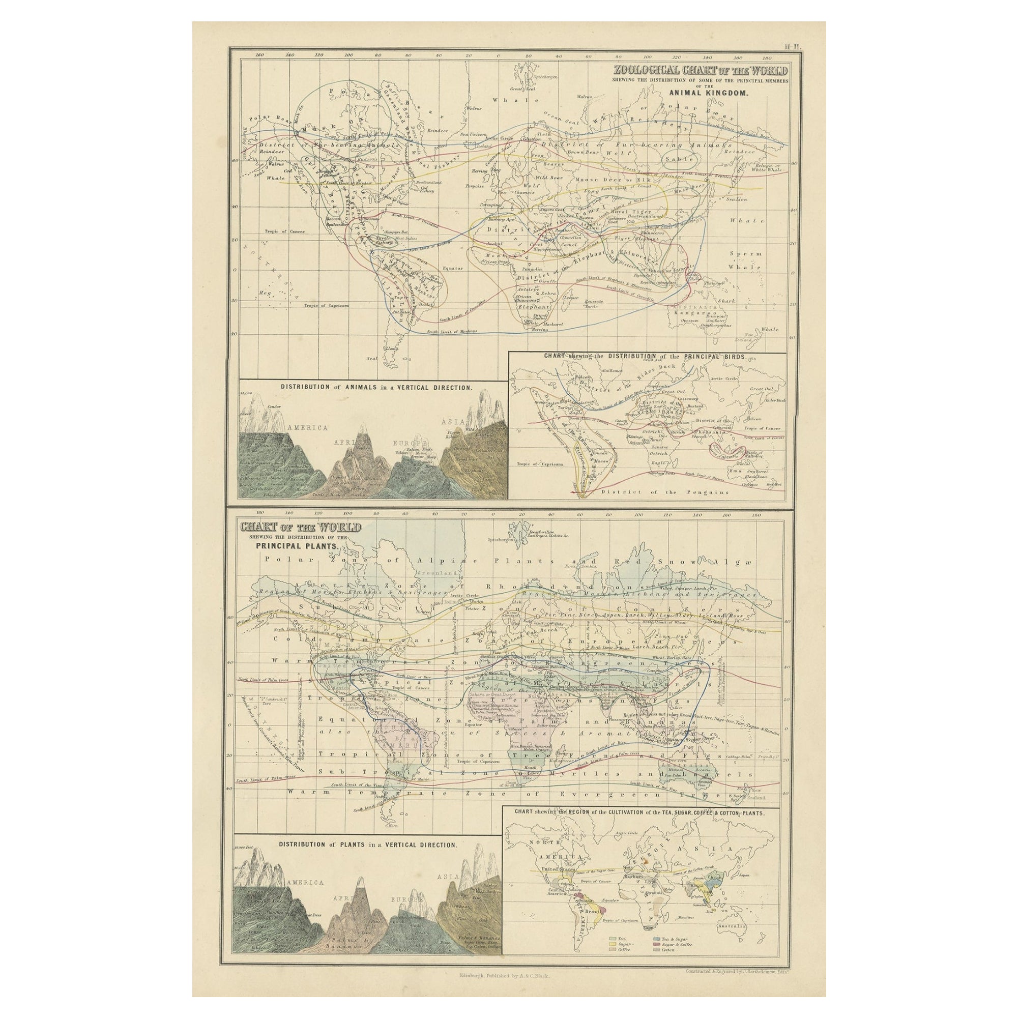
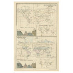
- Antique Zoological Chart of the World, 1854Located in Langweer, NLAntique map titled 'Zoological Chart of the World'. Total of six maps and insets. Insets of the distribution of Animals in a vertical direction, Chart o...Category
Antique 19th Century Maps
MaterialsPaper
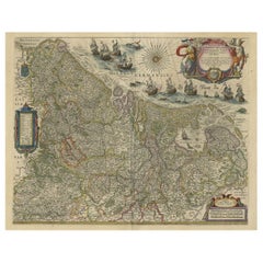
- Handsome Old Detailed Map of the Low Countries by Famous Mapmaker Blaeu, ca.1635Located in Langweer, NLAntique map titled 'Novus XVII Inferioris Germaniae Provinciarum Typus'. Handsome - and much sought after- detailed map of the Low Countries by the world most famous map maker Bla...Category
Antique 1630s Maps
MaterialsPaper
You May Also Like
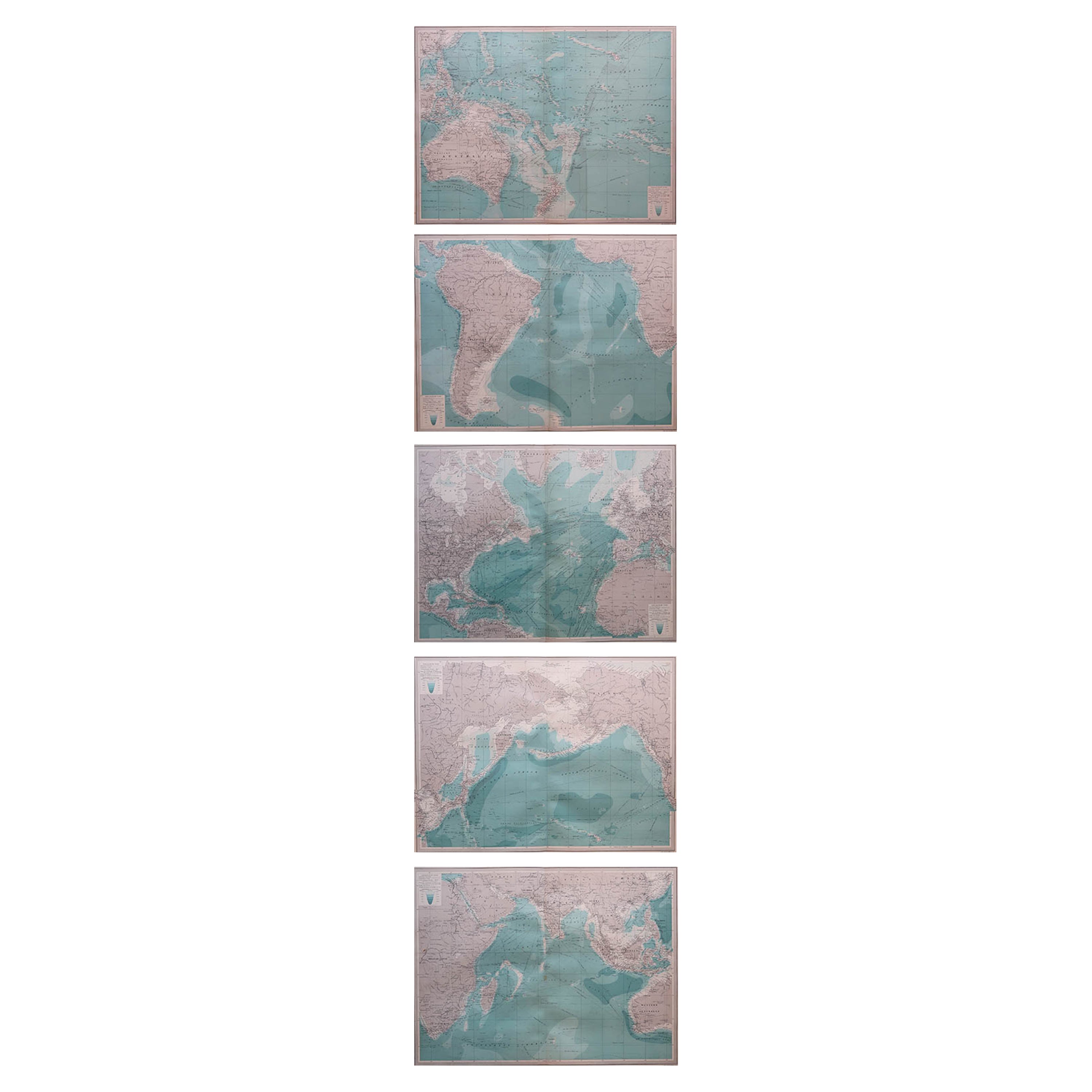
- Set of 5 Large Original Vintage Sea Charts, circa 1920Located in St Annes, Lancashire5 great maps or charts of the oceans I particularly like the color of these maps Unframed Original color By John Bartholomew and Co. Edinburgh Geographical Institute Published, ...Category
Vintage 1920s British Maps
MaterialsPaper
- Original Antique Decorative Map of South America-West Coast, Fullarton, C.1870Located in St Annes, LancashireGreat map of Chili, Peru and part of Bolivia Wonderful figural border From the celebrated Royal Illustrated Atlas Lithograph. Original color. Published by Fullarton, Edi...Category
Antique 1870s Scottish Maps
MaterialsPaper
- Silver Leaf Foil Wall World Map Engraving Based on the Original Moses Pitt, 1681Located in GBWe are delighted to offer for sale this lovely antique style pictorial silver leaf foil world map taken from and original engraving my Moses Pitt, 1681 This is a very interesting ...Category
20th Century English Modern Maps
MaterialsSilver Leaf
- Large Custom Framed 1857 U.S. Coast Survey of the Chesapeake BayLocated in Bridgeport, CTAn antique 1850's nautical map with hand-painted color accents entitled “Chesapeake Bay; Sheet no. 2: Head of the Bay to the Mouth of the Potomac River”....Category
Antique 1850s American American Classical Maps
MaterialsPaper
- Large Original Vintage Map of The North Pole, circa 1920Located in St Annes, LancashireGreat maps of The North Pole. Unframed. Original color. By John Bartholomew and Co. Edinburgh Geographical Institute. Published, circa 1920. Free shipp...Category
Vintage 1920s British Maps
MaterialsPaper
- Imray Ocean Chart of the Coast of Brazil 1876Located in Norwell, MAImray & Son 1876 Nautical chart of the Coast of Brazil between Cape Frio and the River Plate. Nicely framed. Overall Dimensions: 46" H x 56" W.Category
Antique 1870s Nautical Objects
MaterialsPaper


Recently Viewed
View AllMore Ways To Browse
German Chart
Antique Center Islands
Antique Pilot
Nautical Chart Nautical Chart
Used Nautical Charts
Nautical Map
Nautical Maps
Antique Sea Chart
Antique Sea Charts
Sea Chart
Nautical Charts
Dutch Nautical
Sea Chart Map
Antique Nautical Map
Antique Nautical Maps
Antique Nautical Charts
Map Nautical Chart
Van Der Zee