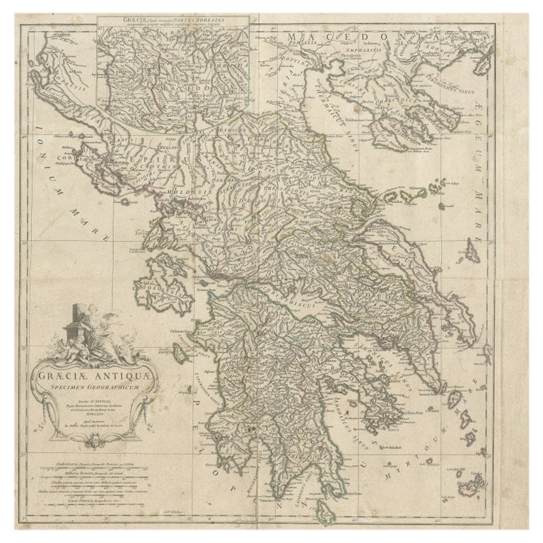
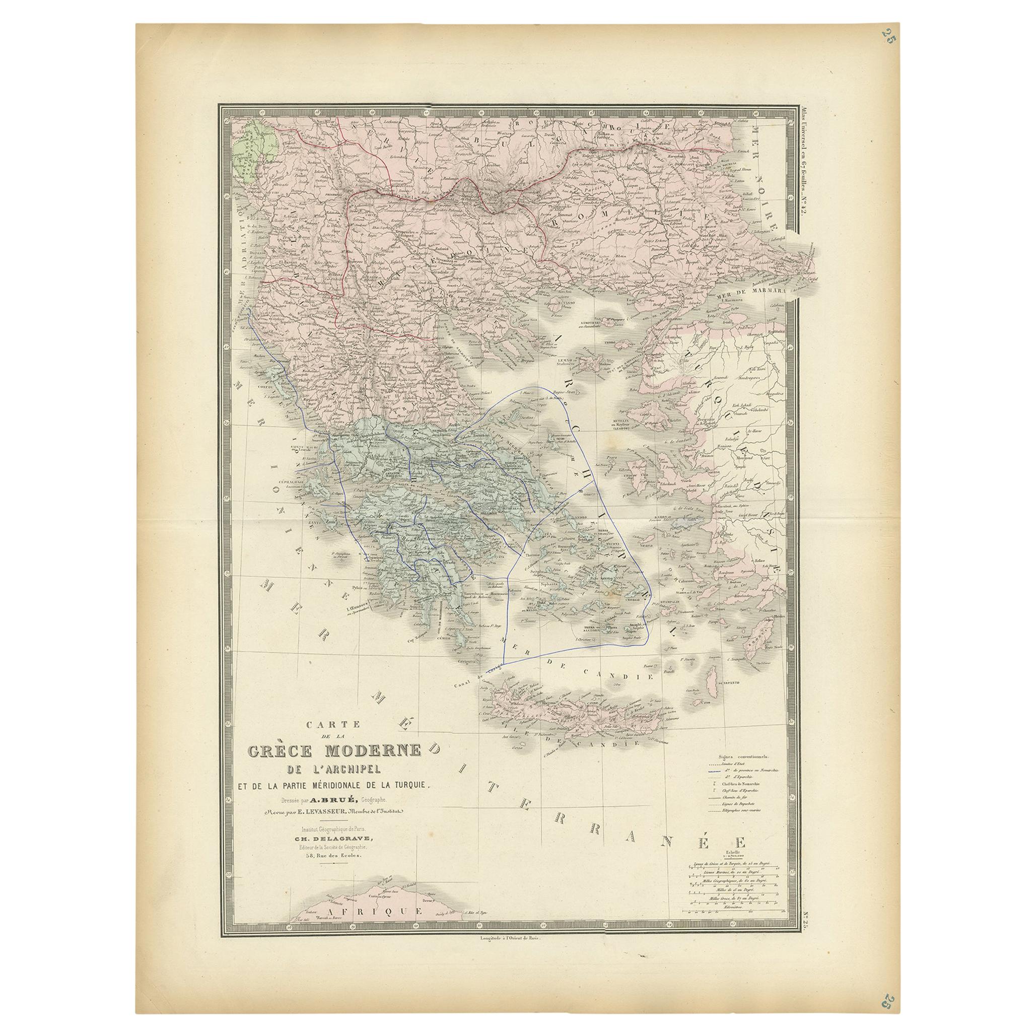
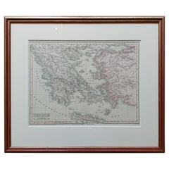
Original Antique Map of Ancient Greece, Achaia, Corinth, 1786
View Similar Items


Want more images or videos?
Request additional images or videos from the seller
1 of 5
Original Antique Map of Ancient Greece, Achaia, Corinth, 1786
About the Item
- Dimensions:Height: 10 in (25.4 cm)Width: 14 in (35.56 cm)Depth: 0.07 in (1.78 mm)
- Style:Other (In the Style Of)
- Materials and Techniques:Paper,Other
- Place of Origin:
- Period:1780-1789
- Date of Manufacture:1786
- Condition:Wear consistent with age and use.
- Seller Location:St Annes, GB
- Reference Number:1stDibs: LU1836322606012
About the Seller
4.9
Platinum Seller
These expertly vetted sellers are 1stDibs' most experienced sellers and are rated highest by our customers.
1stDibs seller since 2016
2,536 sales on 1stDibs
Associations
International Confederation of Art and Antique Dealers' Associations
More From This SellerView All
- Original Antique Map of Ancient Greece, Achaia, Corinth, 1786Located in St Annes, LancashireGreat map of Ancient Greece. Showing the region of Thessaly, including Mount Olympus Drawn by J.D. Barbie Du Bocage Copper plate engraving by P.F Tardieu Original hand color...Category
Antique 1780s French Other Maps
MaterialsPaper
- Original Antique Map of Ancient Greece, Phocis, Gulf of Corinth, 1787Located in St Annes, LancashireGreat map of Ancient Greece. Showing the region of Phocis, including the Gulf of Corinth Drawn by J.D. Barbie Du Bocage Copper plate engraving by P.F Tardieu Original hand c...Category
Antique 1780s French Other Maps
MaterialsPaper
- Original Antique Map of Ancient Greece- Boeotia, Thebes, 1787Located in St Annes, LancashireGreat map of Ancient Greece. Showing the region of Boeotia, including Thebes Drawn by J.D. Barbie Du Bocage Copper plate engraving by P.F T...Category
Antique 1780s French Other Maps
MaterialsPaper
- Original Antique Map of South America, circa 1830Located in St Annes, LancashireGreat map of South America Copper plate engraving Published by Butterworth, Livesey & Co., circa 1830 Unframed.Category
Antique Early 1800s English Other Maps
MaterialsPaper

- Original Antique Map of Spain and Portugal, circa 1790Located in St Annes, LancashireSuper map of Spain and Portugal Copper plate engraving by A. Bell Published, circa 1790. Unframed.Category
Antique 1790s English Other Maps
MaterialsPaper
- Original Antique Map of Italy. C.1780Located in St Annes, LancashireGreat map of Italy Copper-plate engraving Published C.1780 Unframed.Category
Antique Early 1800s English Georgian Maps
MaterialsPaper


You May Also Like
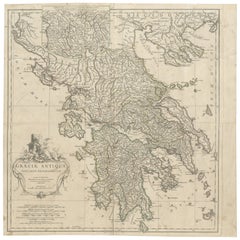
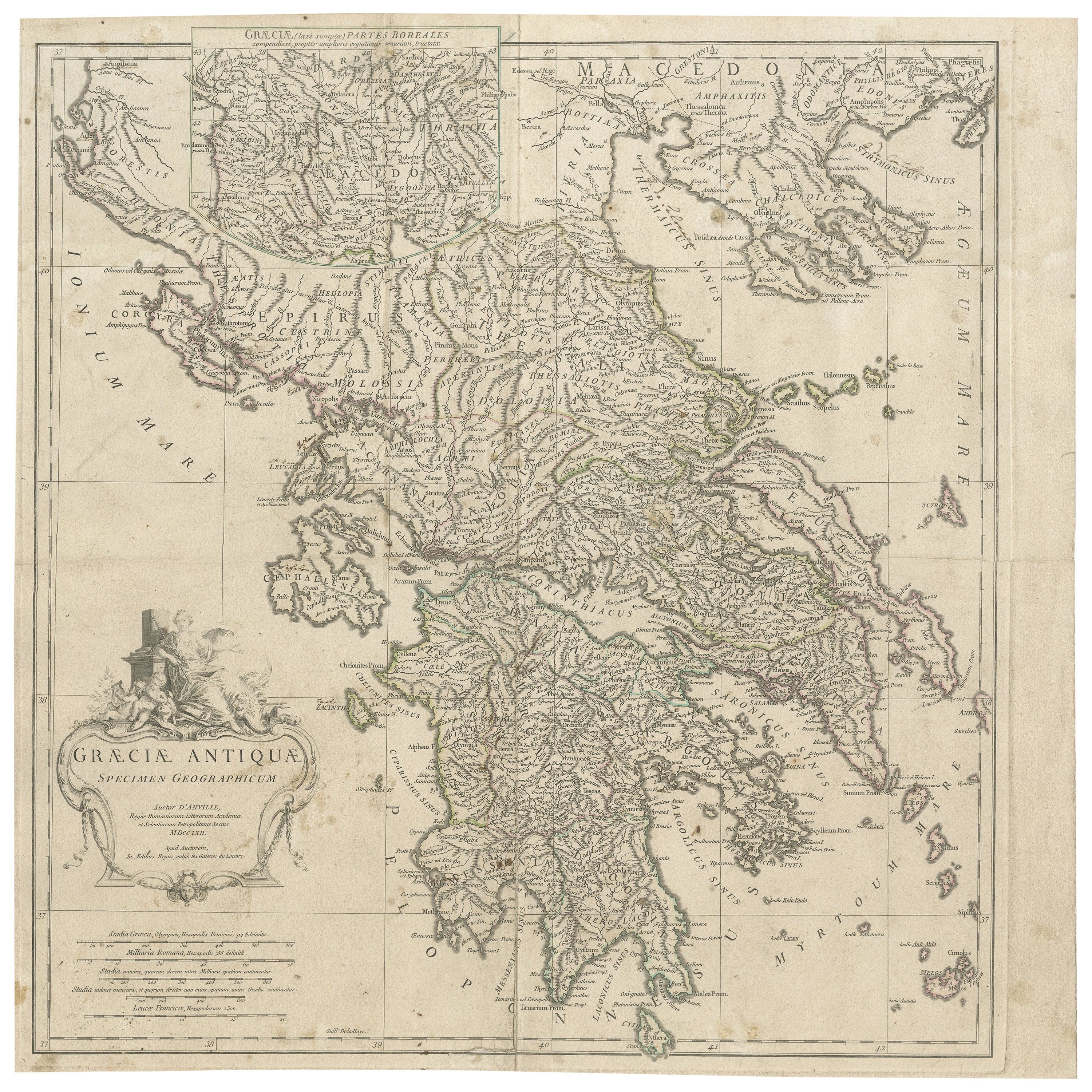
- Large Scale Map of Greece with Inset Map of Macedonia, c.1786Located in Langweer, NLAntique map titled 'Graeciae Antiquae'. Large scale map of Greece, extends south to the island of Cythera. Inset map shows details of Macedonia. Publis...Category
Antique 18th Century Maps
MaterialsPaper
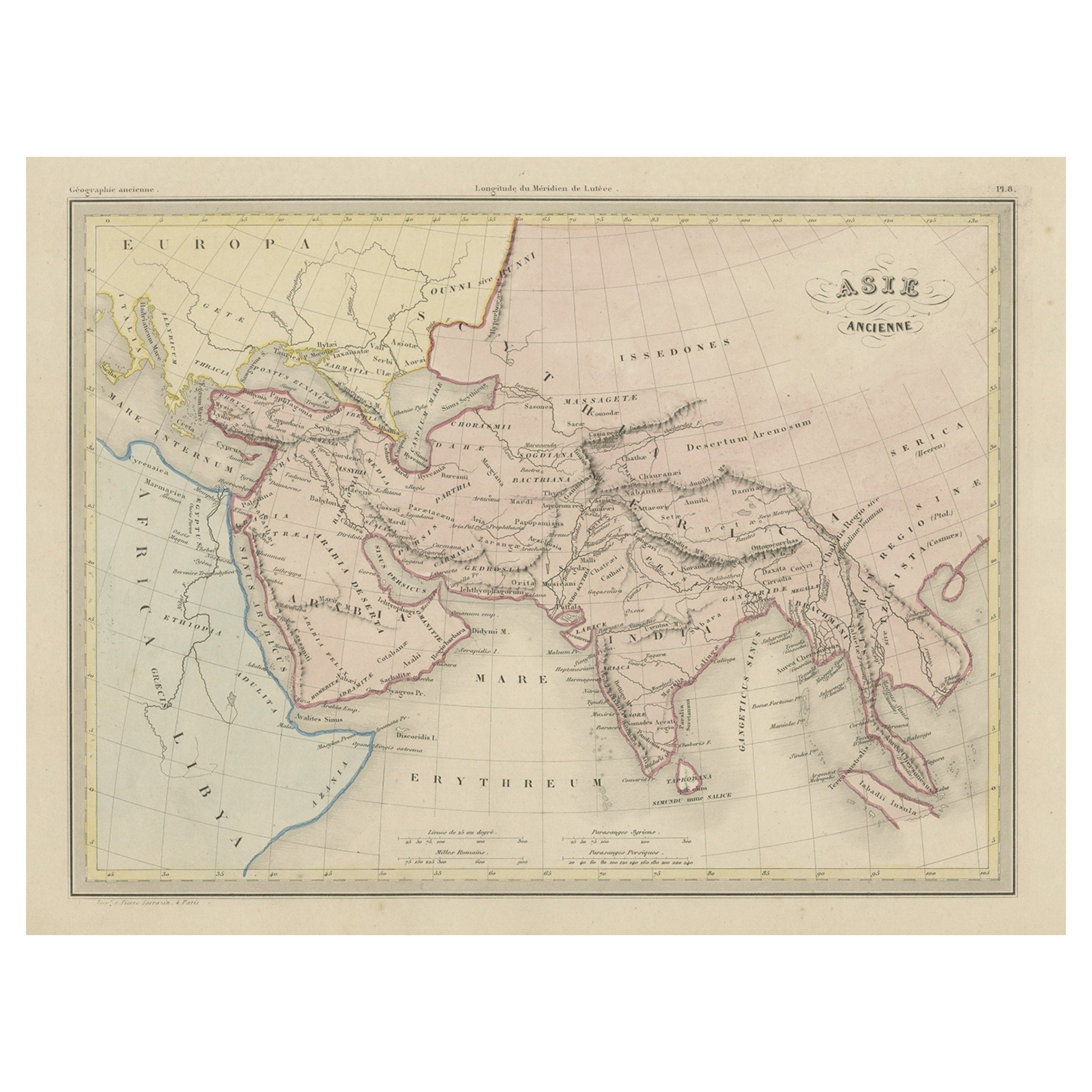
- Original Antique Map of Ancient Asia, 1847Located in Langweer, NLDescription: Antique map Asia titled 'Asie Ancienne'. This is an original antique map of Ancient Asia and originates from 'Atlas de la Geographie ...Category
Antique 1840s Maps
MaterialsPaper
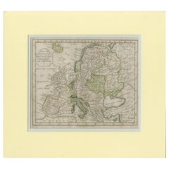
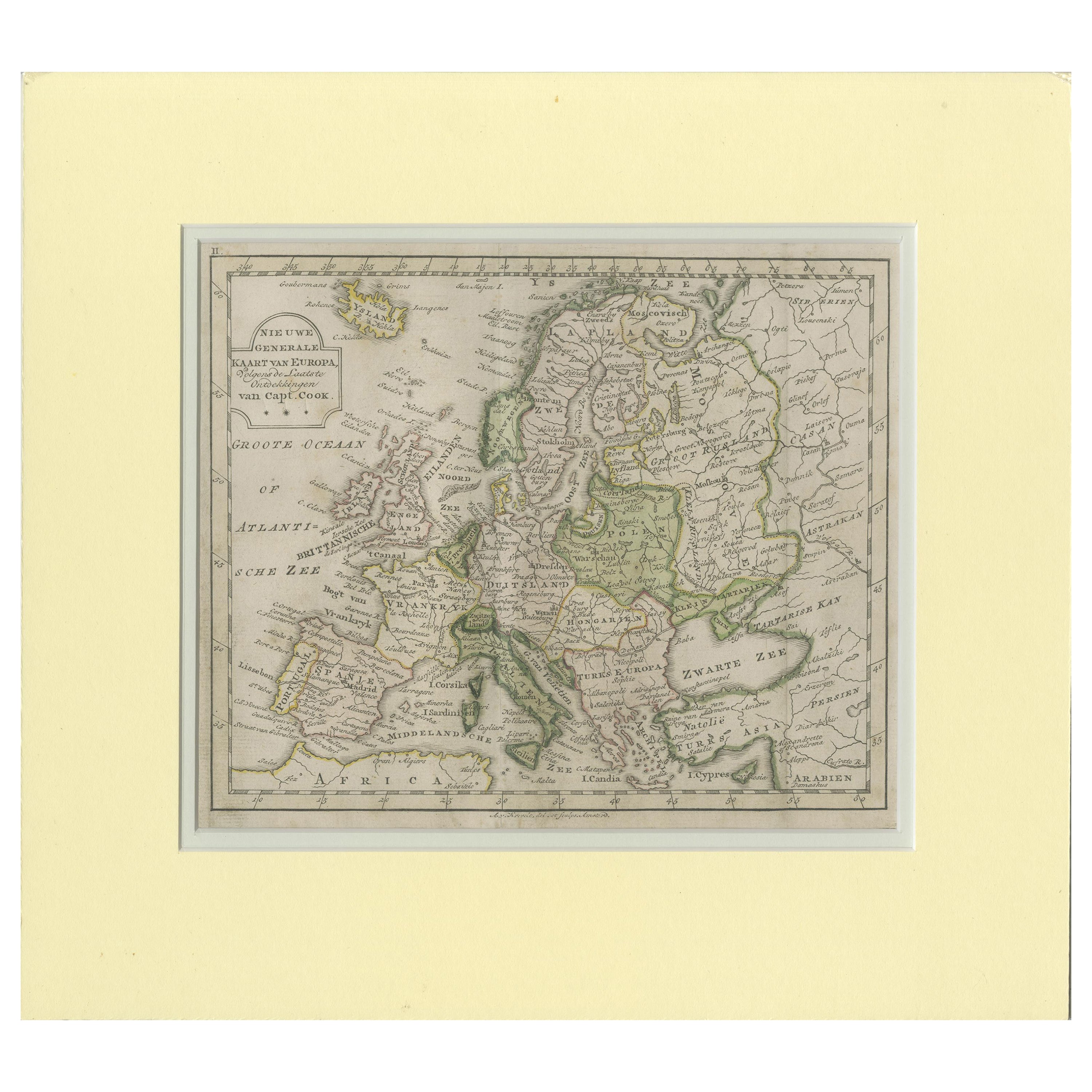
- Antique Map of Europe by Krevelt '1786'Located in Langweer, NLAntique map titled 'Nieuwe Generale Kaart van Europa (..)'. Original antique map of Europe. This map originates from 'Compleete zak-atlas, van de...Category
Antique Late 18th Century Maps
MaterialsPaper
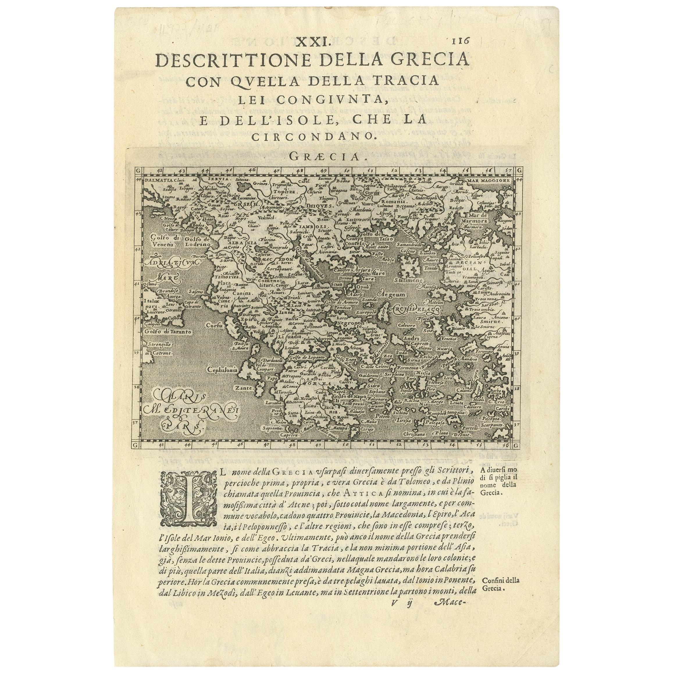
- Original Antique Map of Greece and part of TurkeyLocated in Langweer, NLOriginal antique map titled 'La Grece ou partie meridionale de la Turquie d'Europe'. Small map of Greece and part of Turkey. This map originates from 'Le nouveau et curieux Atlas Geo...Category
Antique Early 18th Century Maps
MaterialsPaper
- Large Scale Map of Greece, Extending to Cythera with Inset of Macedonia, ca.1786Located in Langweer, NLAntique map titled 'Graeciae Antiquae'. Large scale map of Greece, extends south to the island of Cythera. Inset map shows details of Macedonia. Pu...Category
Antique 1780s Maps
MaterialsPaper
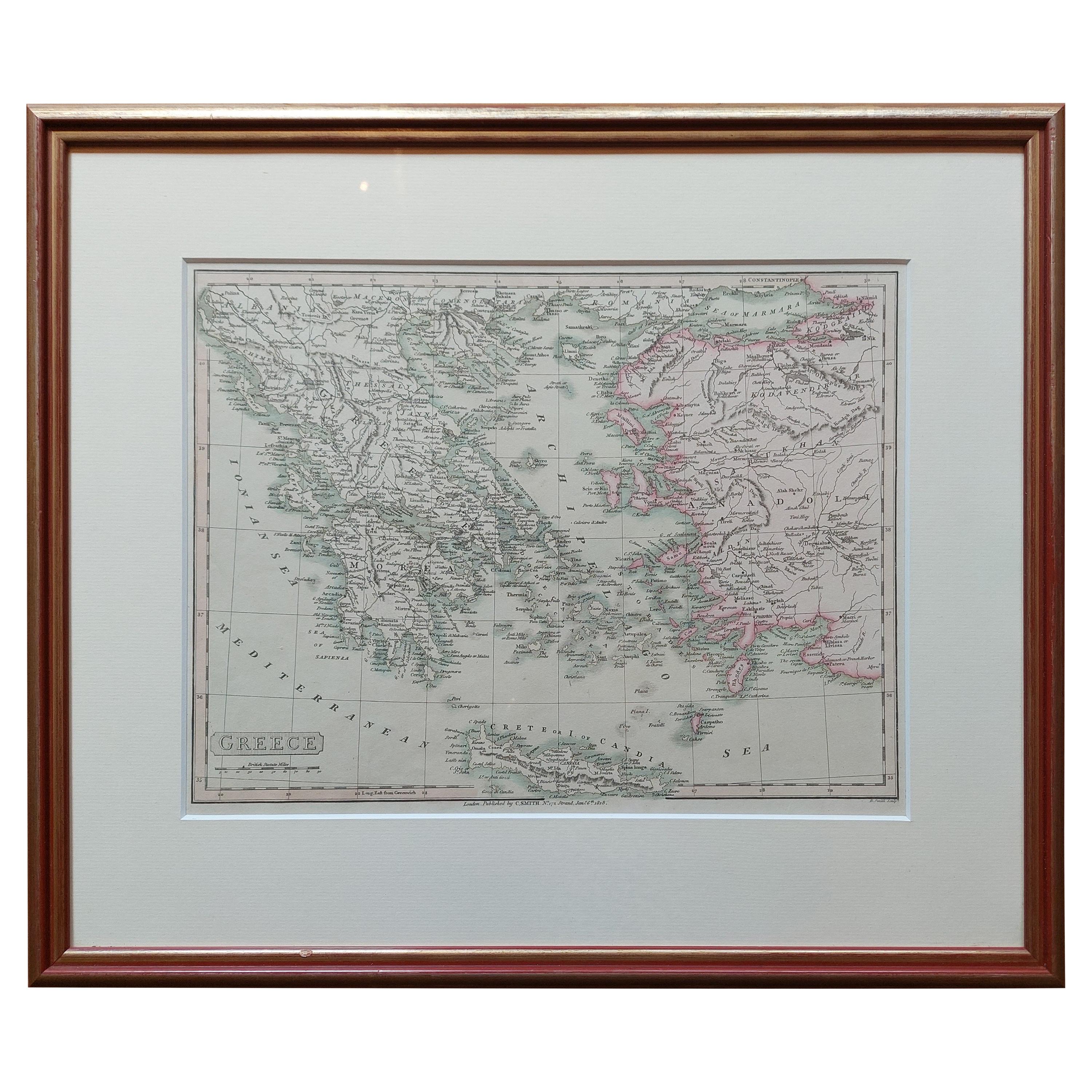
- Original Antique Map in Frame of Greece by Smith '1818'Located in Langweer, NLNicely framed map titled 'Greece'. Original antique map of Greece published by C. Smith, 1818. Frame included.Category
Antique Early 19th Century Maps
MaterialsPaper
 $304 Sale Price20% Off