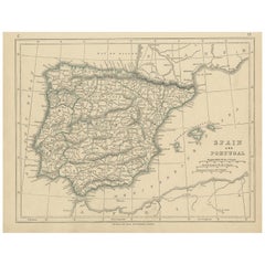
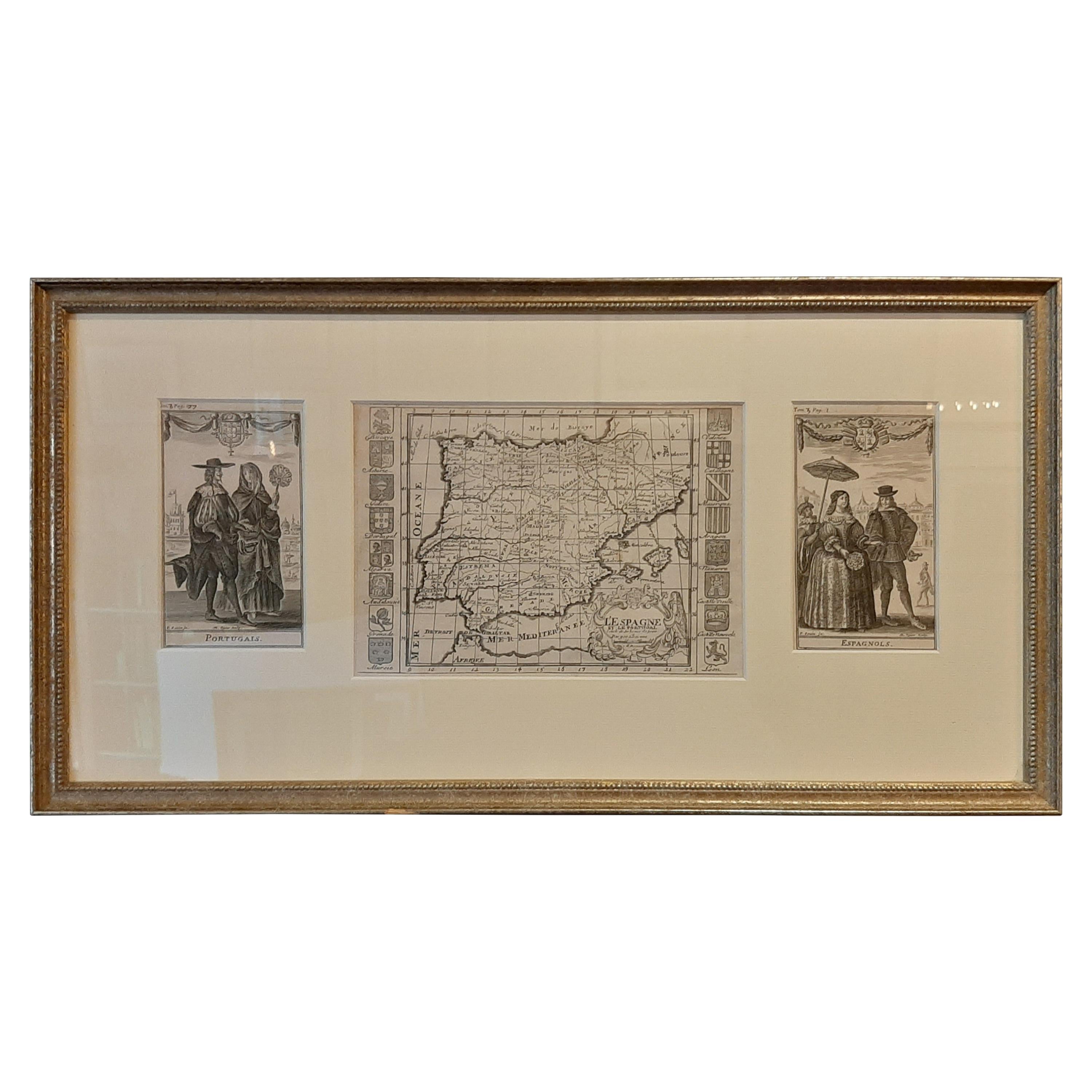
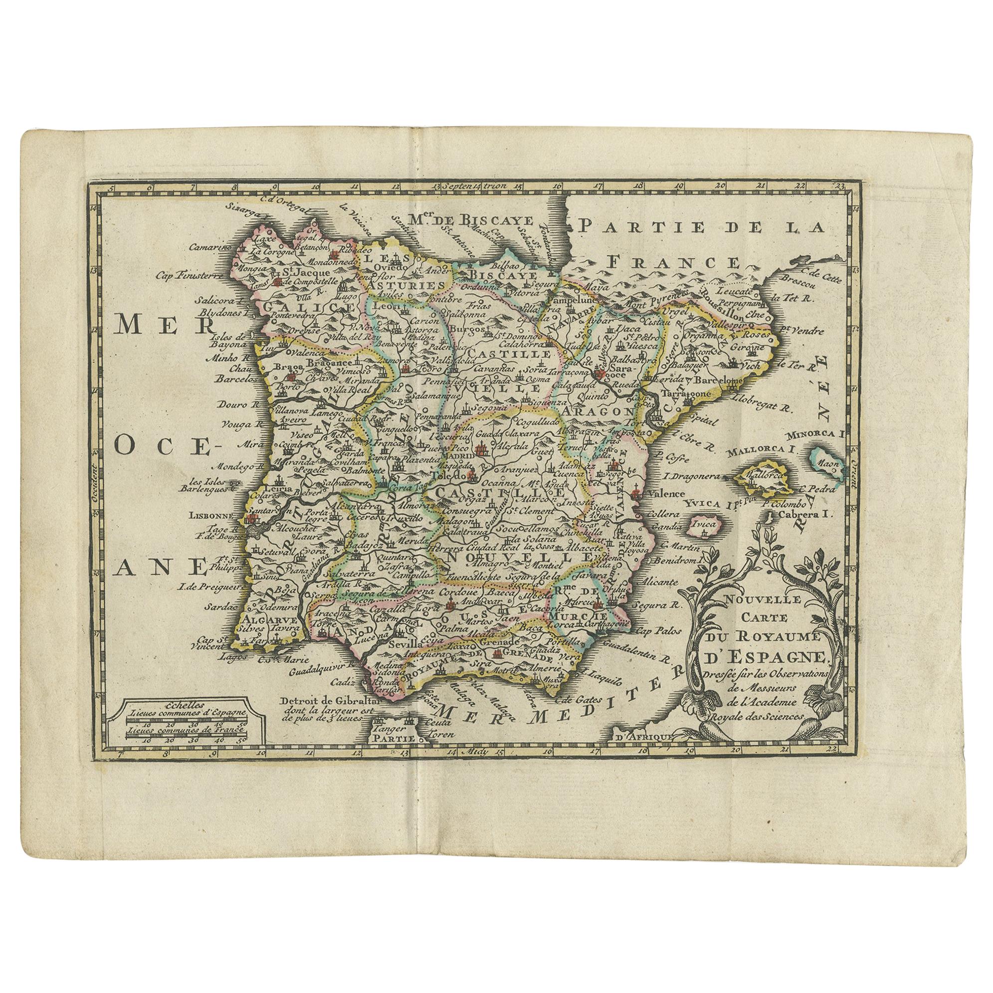
Original Antique Map of Spain and Portugal, circa 1790
View Similar Items


Want more images or videos?
Request additional images or videos from the seller
1 of 5
Original Antique Map of Spain and Portugal, circa 1790
About the Item
- Dimensions:Height: 8.25 in (20.96 cm)Width: 11 in (27.94 cm)Depth: 0.07 in (1.78 mm)
- Style:Other (In the Style Of)
- Materials and Techniques:Paper,Other
- Place of Origin:
- Period:1790-1799
- Date of Manufacture:1790
- Condition:Wear consistent with age and use.
- Seller Location:St Annes, GB
- Reference Number:1stDibs: LU1836322435862
About the Seller
4.9
Platinum Seller
These expertly vetted sellers are 1stDibs' most experienced sellers and are rated highest by our customers.
1stDibs seller since 2016
2,531 sales on 1stDibs
Associations
International Confederation of Art and Antique Dealers' Associations
More From This SellerView All
- Original Antique Map of Spain and Portugal by Thomas Clerk, 1817Located in St Annes, LancashireGreat map of Spain and Portugal Copper-plate engraving Drawn and engraved by Thomas Clerk, Edinburgh. Published by Mackenzie And Dent, 1817 Unframed.Category
Antique 1810s English Maps
MaterialsPaper
- Original Antique Map of Spain and Portugal, Engraved By Barlow, 1806Located in St Annes, LancashireGreat map of Spain And Portugal Copper-plate engraving by Barlow Published by Brightly & Kinnersly, Bungay, Suffolk. 1806 Unframed.Category
Antique Early 1800s English Maps
MaterialsPaper
- Original Antique Map of South America, circa 1830Located in St Annes, LancashireGreat map of South America Copper plate engraving Published by Butterworth, Livesey & Co., circa 1830 Unframed.Category
Antique Early 1800s English Other Maps
MaterialsPaper

- Original Antique Map of Belgium by Tallis, Circa 1850Located in St Annes, LancashireGreat map of Belgium Steel engraving Many lovely vignettes Published by London Printing & Publishing Co. ( Formerly Tallis ), C.1850 Origin...Category
Antique 1850s English Maps
MaterialsPaper
- Original Antique Map of Sweden and Norway, Grattan and Gilbert, 1843Located in St Annes, LancashireGreat map of Sweden and Norway Drawn and engraved by Archer Published by Grattan and Gilbert Original color Unframed.Category
Antique 1840s English Other Maps
MaterialsPaper
- Original Antique Map of Ancient Greece, Achaia, Corinth, 1786Located in St Annes, LancashireGreat map of Ancient Greece. Showing the region of Thessaly, including Mount Olympus Drawn by J.D. Barbie Du Bocage Copper plate engraving by P.F Tardieu Original hand color...Category
Antique 1780s French Other Maps
MaterialsPaper


You May Also Like
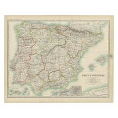
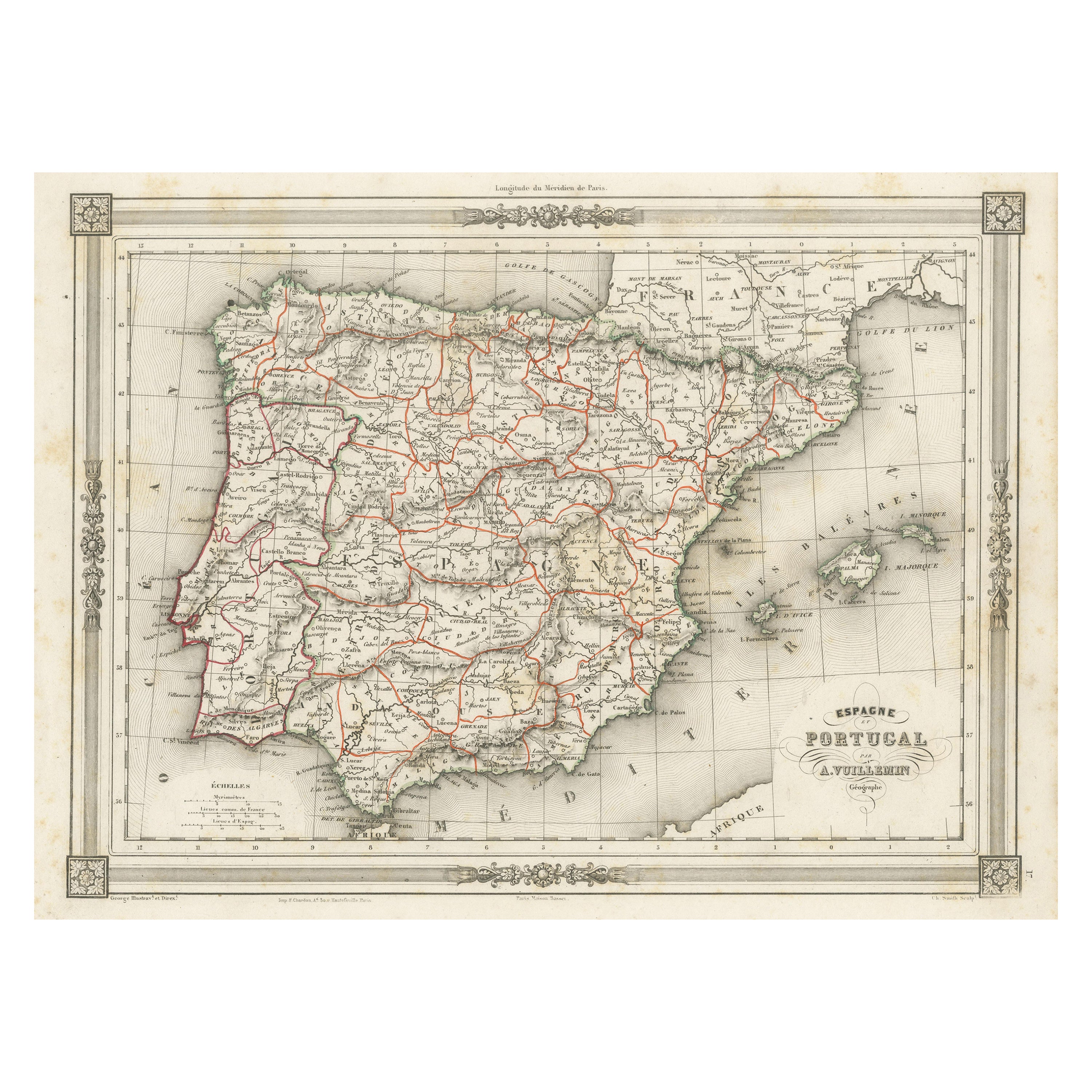
- Antique Map of Spain and Portugal by Tardieu, circa 1795Located in Langweer, NLAntique map titled 'Hispanie Betique et Lusitanie'. A map of Ancient Iberia (Spain and Portugal) showing the Roman provinces of Lusitania, Beatica and Tarraconensis. This map origina...Category
Antique Late 18th Century Maps
MaterialsPaper
 Bidding Closed
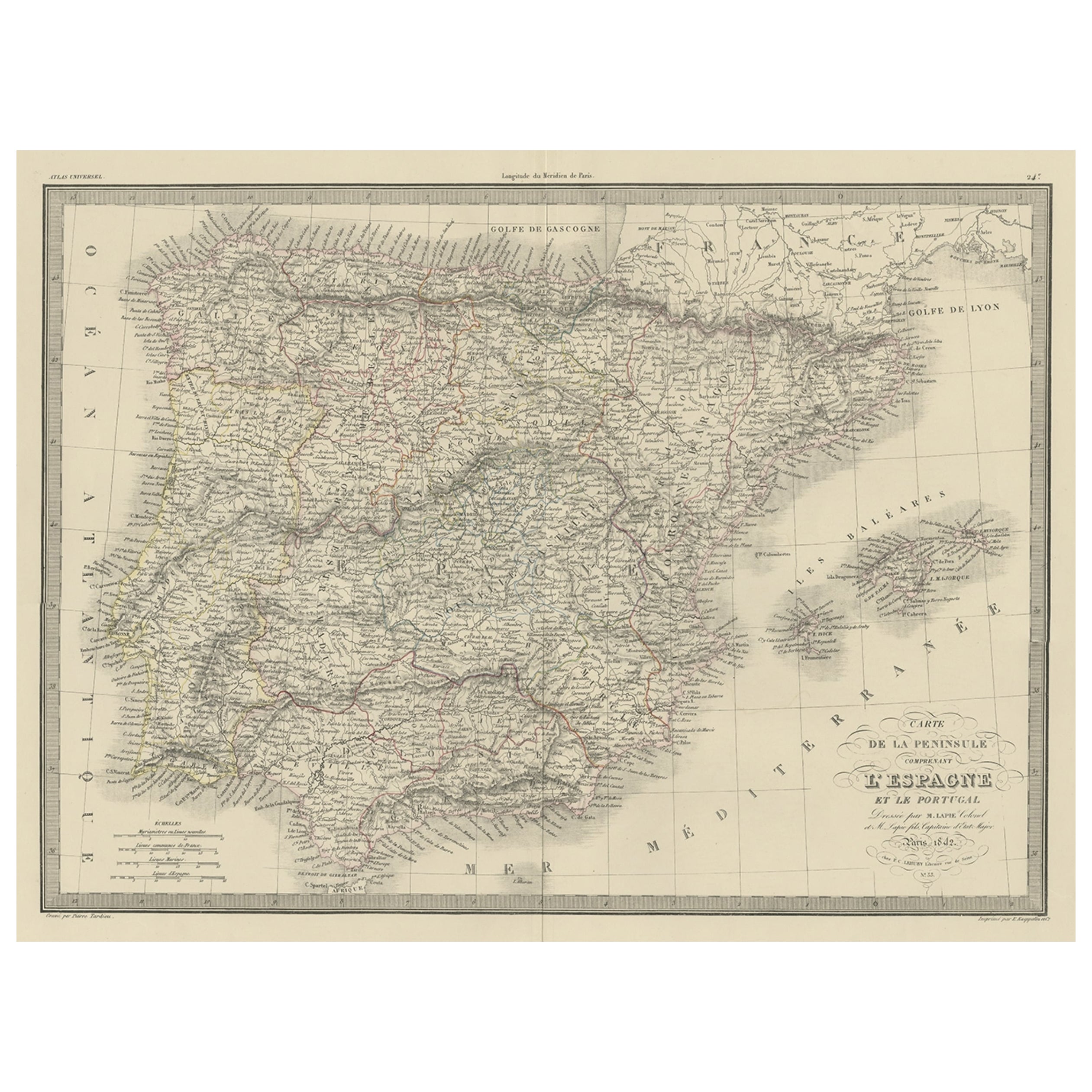
 - Antique Decorative Map of Portugal and Spain, 1842Located in Langweer, NLAntique map titled 'Carte de la Peninsule comprenant l'Espagne et le Portugal'. Map of Spain and Portugal. This map originates from 'Atlas universel de géographie ancienne et mod...Category
Antique 1840s Maps
MaterialsPaper
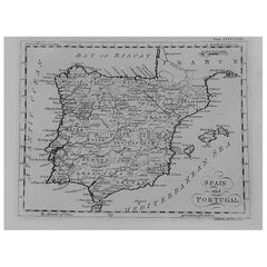
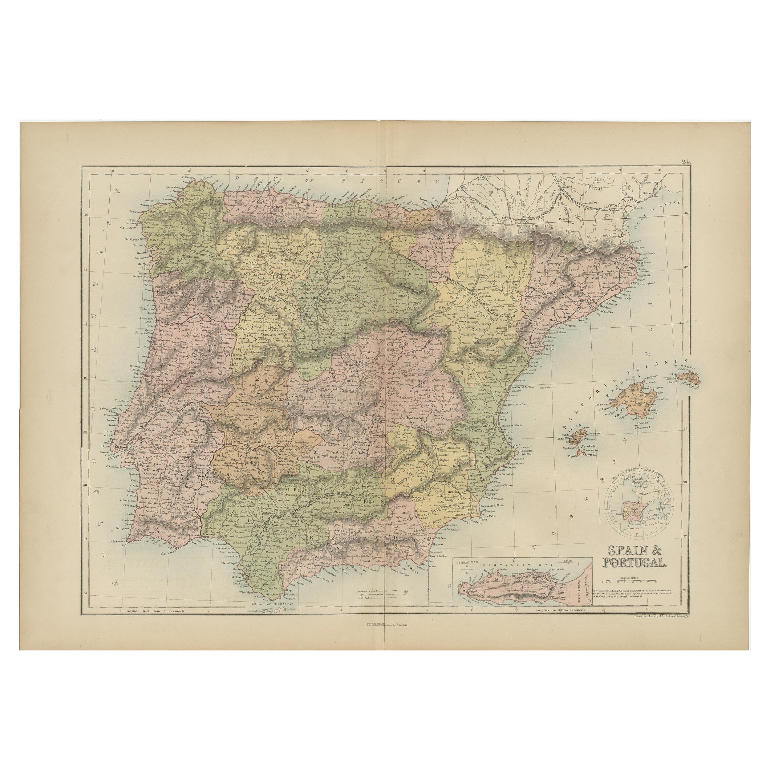
- Antique Map of Spain and Portugal by A & C. Black, 1870Located in Langweer, NLAntique map titled 'Spain and Portugal'. Original antique map of General map of Spain and Portugal with inset map of Gibraltar. This map originates from ‘Black's General Atlas of The...Category
Antique Late 19th Century Maps
MaterialsPaper
 $179 Sale Price40% Off
 - Antique Map of Spain and Portugal by Levasseur, '1875'Located in Langweer, NLAntique map titled 'Carte générale de l'Espagne et du Portugal (..)'. Large map of Spain and Portugal. This map originates from 'Atlas de Géographie Moder...Category
Antique Late 19th Century Maps
MaterialsPaper
 $325 Sale Price40% Off
 - Antique Map of Spain and Portugal by Lowry, '1852'Located in Langweer, NLAntique map titled 'Spain and Portugal'. Original map of Spain and Portugal. This map originates from 'Lowry's Table Atlas constructed and engraved ...Category
Antique Mid-19th Century Maps
MaterialsPaper
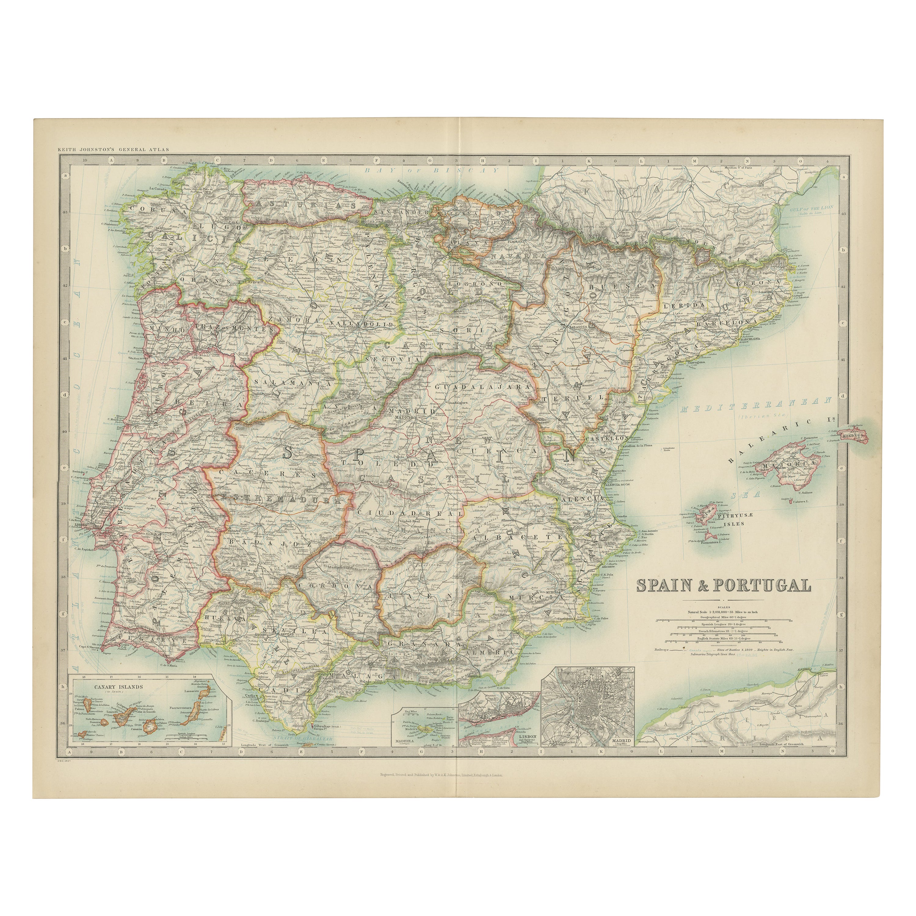
- Antique Map of Spain and Portugal by Johnston, '1909'Located in Langweer, NLAntique map titled 'Spain and Portugal'. Original antique map of Spain and Portugal. With inset maps of the Canary Islands, Madeira, Lisbon and Ma...Category
Early 20th Century Maps
MaterialsPaper