Items Similar to Pictorial Vintage Map of New York City Showing Numerous Landmarks, 1939

Want more images or videos?
Request additional images or videos from the seller
1 of 6
Pictorial Vintage Map of New York City Showing Numerous Landmarks, 1939
About the Item
This pictorial souvenir map focuses on New York City and the site of the 1939 World's Fair. It was drawn by graphic artist George Annand and published by Sinclair Oil, likely with the hope of drumming up interest in the Petroleum Industry Exhibition at the fair. In addition to the fairgrounds, the map highlights numerous New York landmarks, including Central Park, the Chrysler Building, Grand Central Terminal, the Empire State Building, Madison Square Garden, Washington Square Park, and the Brooklyn Bridge. Harlem is represented by a dancing woman, and Greenwich Village by a painter at work. The verso includes maps of the New York metropolitan area and the World's Fair site and extensive information on the Petroleum Industry Exhibition.
Condition: A clean and colorful example with a few tiny splits at the fold junctions. Issued folding.
- Dimensions:Height: 26 in (66.04 cm)Width: 26.9 in (68.33 cm)Depth: 0.002 in (0.06 mm)
- Materials and Techniques:
- Period:
- Date of Manufacture:1939
- Condition:Condition: A clean and colorful example with a few tiny splits at the fold junctions. Issued folding.
- Seller Location:Langweer, NL
- Reference Number:
About the Seller
5.0
Platinum Seller
These expertly vetted sellers are 1stDibs' most experienced sellers and are rated highest by our customers.
Established in 2009
1stDibs seller since 2017
1,909 sales on 1stDibs
Typical response time: <1 hour
- ShippingRetrieving quote...Ships From: Langweer, Netherlands
- Return PolicyA return for this item may be initiated within 14 days of delivery.
More From This SellerView All
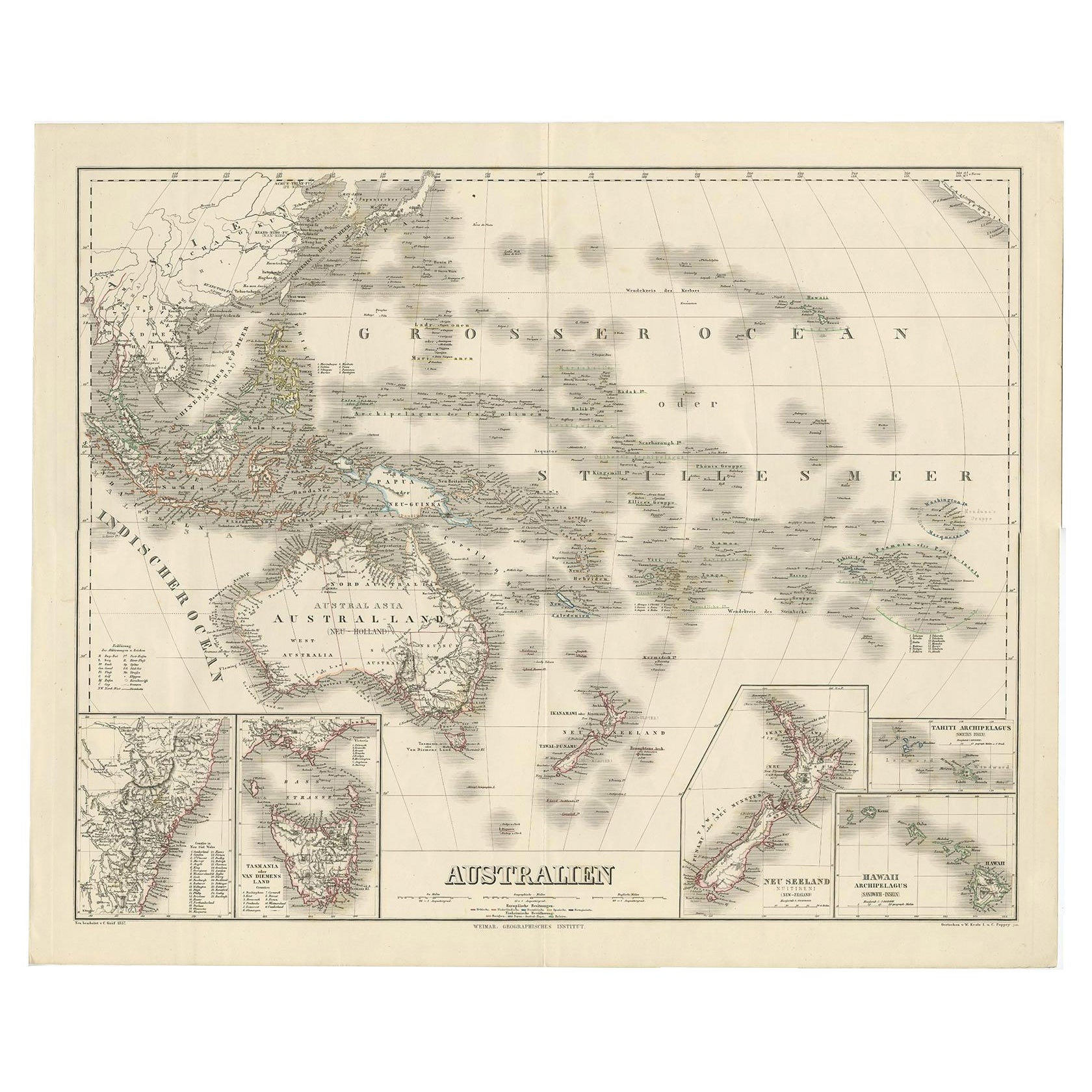
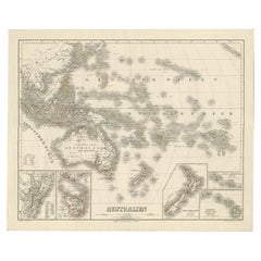
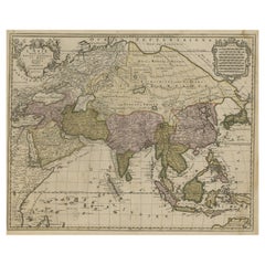
- Map of Australia, New Zealand, Part of China, Japan and Southeast Asia, 1857Located in Langweer, NLGerman Antique map titled 'Australien'. Map of Australia, New Zealand, part of China, Japan and Southeast Asia. In the upper right is a bit of the California coast by San Francisco. ...Category
Antique 19th Century Maps
MaterialsPaper
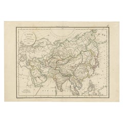
- Antique Map of Asia by Delamarche, 1826Located in Langweer, NLVaugondy's map plates and copyrights and later addes many plates from other sources as well. Charles Delamarche eventually passed control of the firm to his son Felix Delamarche (18t...Category
Antique 19th Century Maps
MaterialsPaper
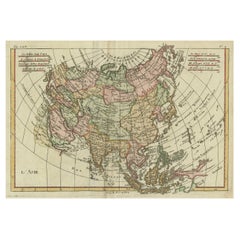
- Antique Map of Asia, Showing Tradewinds, Silke Route Cities Etc, c.1780Located in Langweer, NLAntique map titled 'L'Asie.' Map of Asia. Offers considerable detail considering the size, showing the tradewinds in the Pacific and Indian Oceans as well as numerous Silk Route citi...Category
Antique 18th Century Maps
MaterialsPaper
- Large Detailed Map of Australia Wint Inset of Tasmania, 1937Located in Langweer, NLAntique map titled 'Australia'. Large folding map of Australia. With inset map of Tasmania. Printed by L.F. Johnston, Canberra. Artists and Engravers: Compiled and drawn by Propert...Category
20th Century Maps
MaterialsPaper
- Large Antique Map of Asia including All of Southeast Asia, c.1792Located in Langweer, NLAntique map titled 'L' Asie Divisee en ses Empires, Royaumes, et Etats'. Attractive, large map of Asia including all of Southeast Asia. The cartography is archaic for the period with...Category
Antique 18th Century Maps
MaterialsPaper
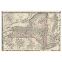
- Large Antique Map of New York State with Inset MapsLocated in Langweer, NLAntique map titled 'Johnson's New York' Large map of New York State. With insets of Albany, Oswego, Buffalo, Rochester, Syracuse, Troy and NYC. Published by Johnson and Browning, 186...Category
Antique Mid-19th Century Maps
MaterialsPaper

You May Also Like
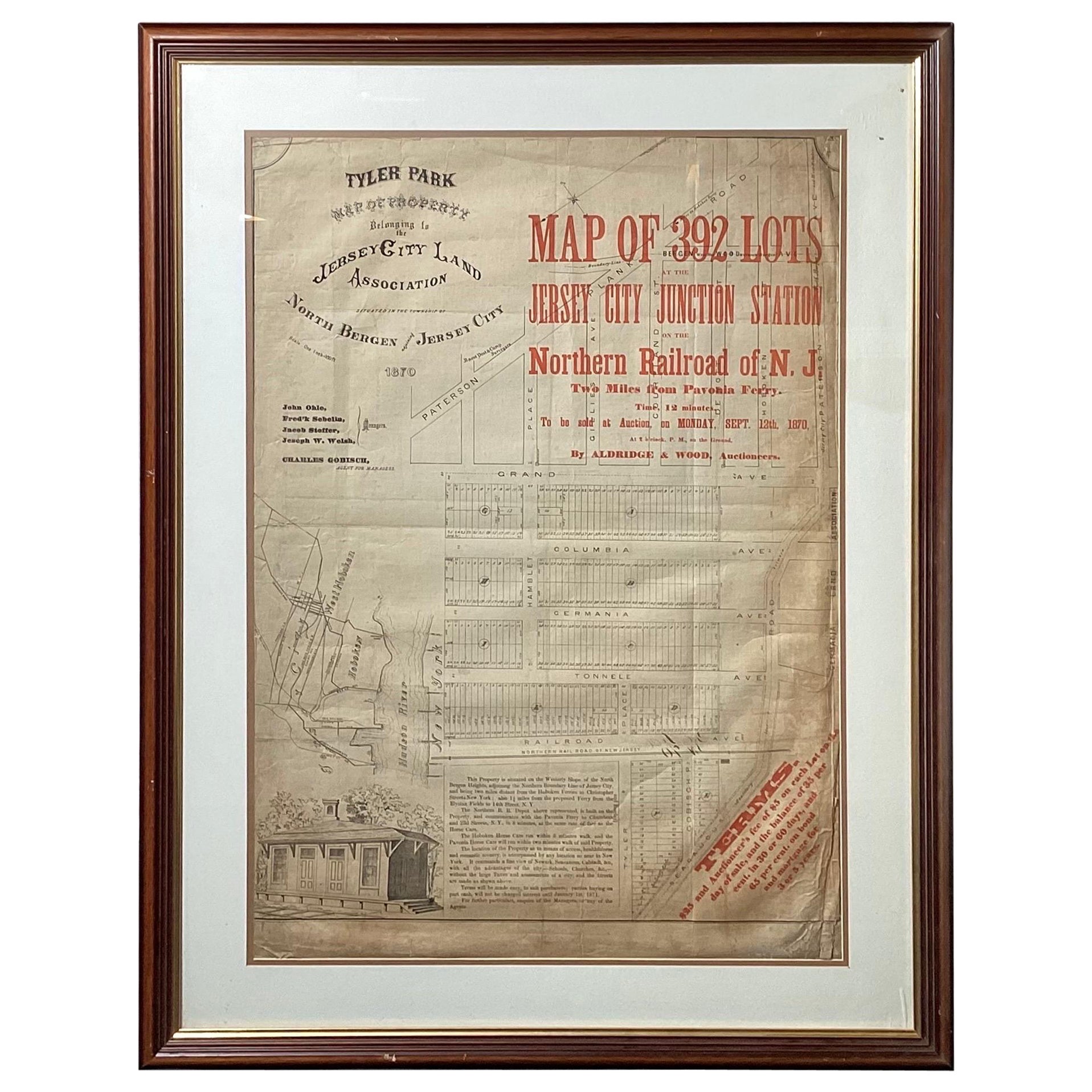
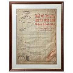
- Framed Original Land Map Survey of Tyler Park, Jersey City RailroadLocated in Lambertville, NJA framed and matted historical map of Tyler park jersey city New Jersey Railroad. The paper on canvas in later appropriate frame. Good condition with some creasing and age discolorat...Category
Antique 1870s American Posters
MaterialsCanvas, Glass, Wood
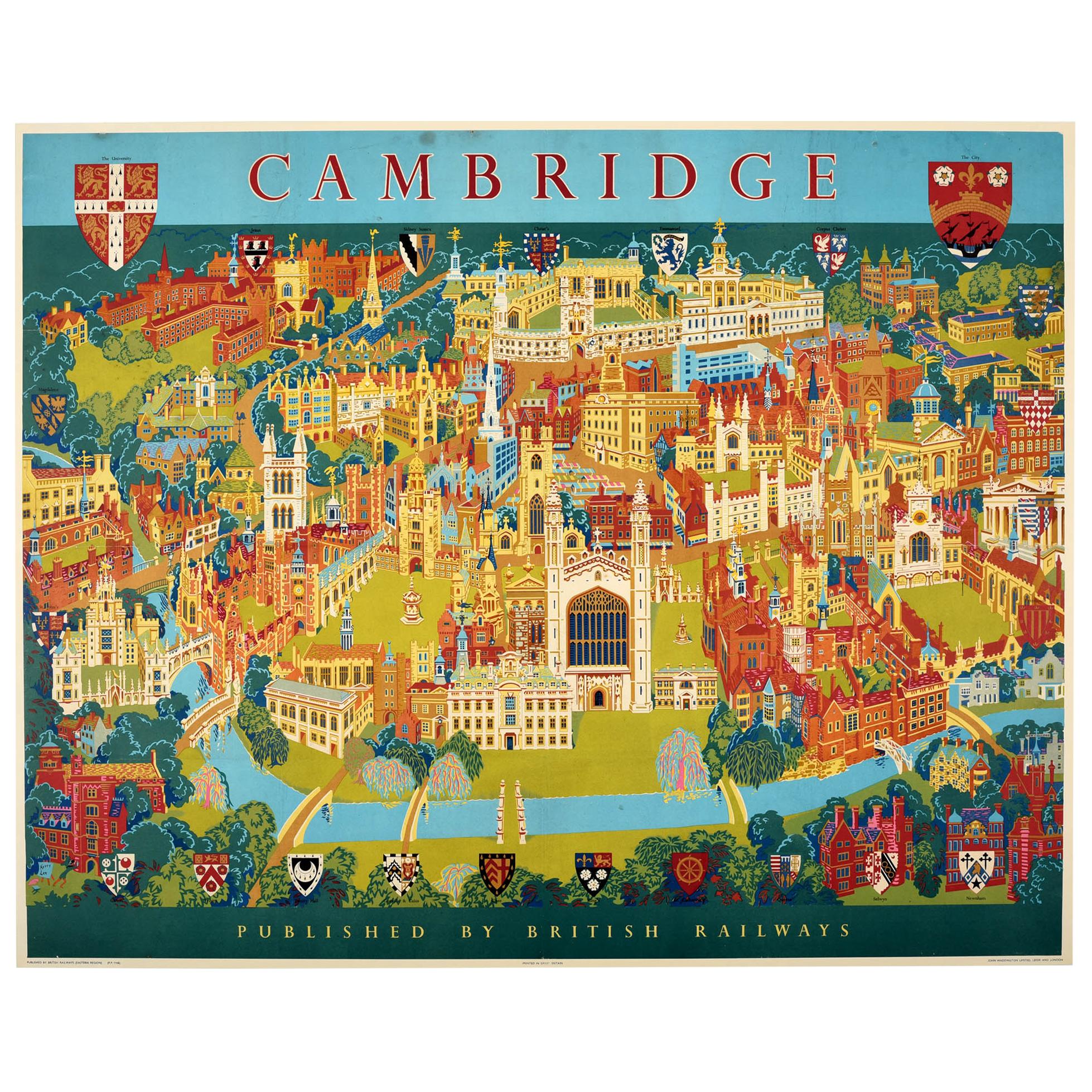
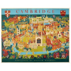
- Original Vintage Poster Pictorial Map British Railways Cambridge University CityBy Kerry LeeLocated in London, GBOriginal vintage pictorial travel map poster for Cambridge published by British Railways Eastern Region featuring a fantastic colorful illustration by the British artist, illustrator and poster designer who specialized in pictorial maps...Category
Vintage 1960s British Posters
MaterialsPaper
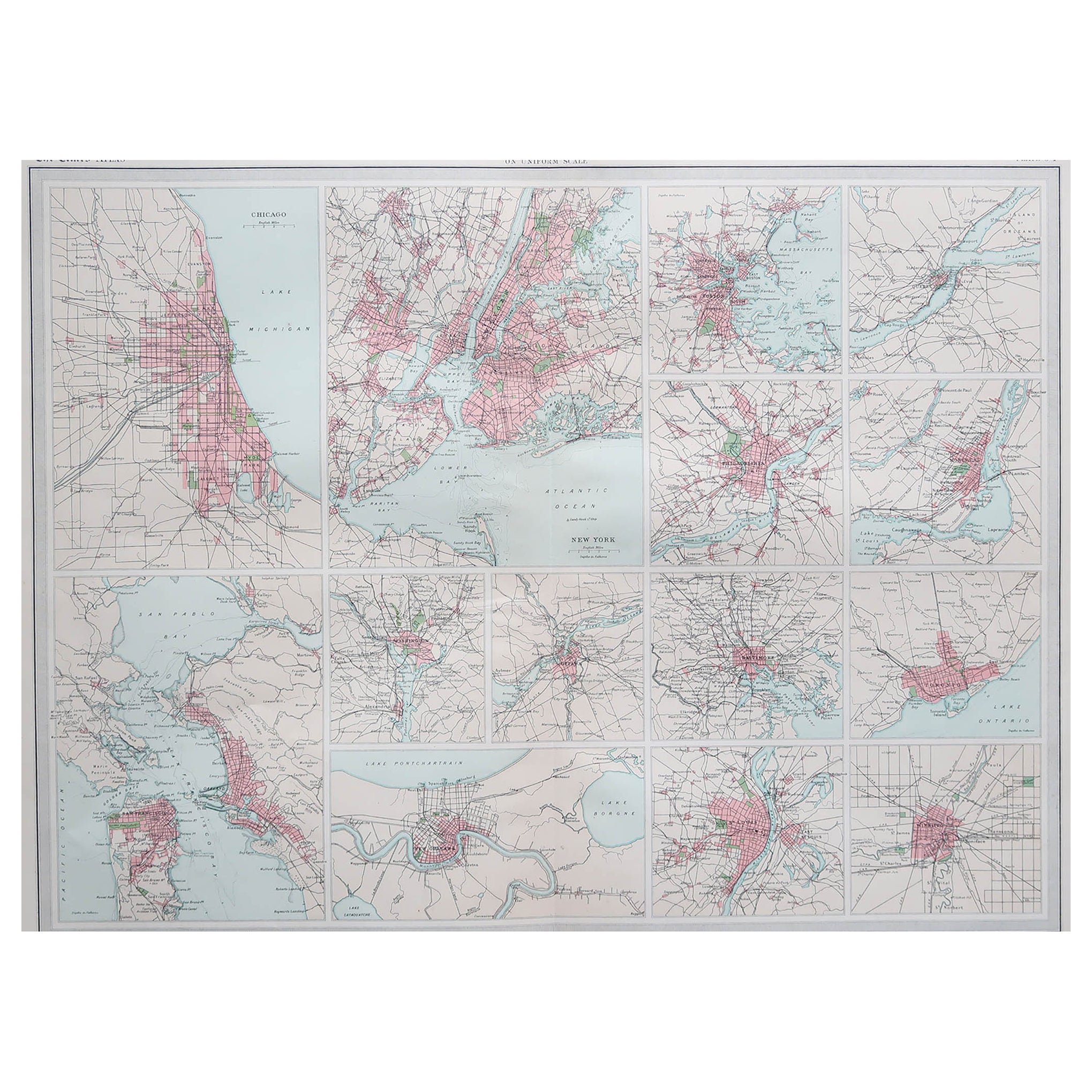
- Antique Map of American Cities, Vignette of New York City, circa 1920Located in St Annes, LancashireGreat maps of American Cities Unframed Original color By John Bartholomew and Co. Edinburgh Geographical Institute Published, circa 1920Category
Vintage 1920s British Maps
MaterialsPaper
- Gilt Framed Vintage Wine Regions of France MapLocated in Alton, GBFramed French wine region map 1973. The print has been removed to clean the glass, the frame has minor damage in places but nothing that detracts from ...Category
Vintage 1970s French Posters
MaterialsPaper
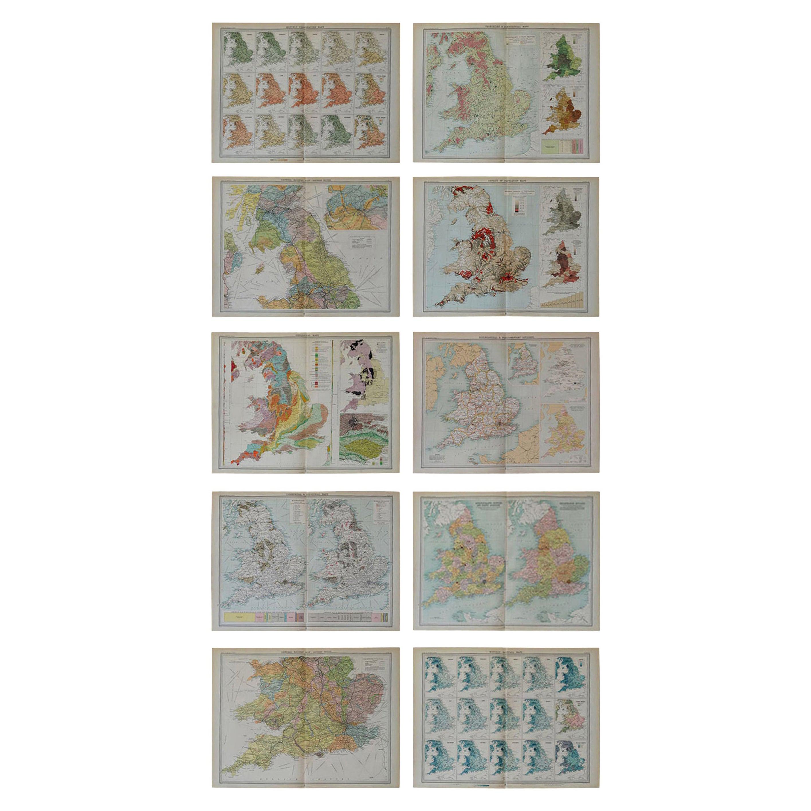
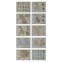
- Set of 10 Large Scale Vintage Maps of The United Kingdom, circa 1900Located in St Annes, LancashireGreat set of maps of the UK Lithographs. By John Bartholomew & Co. Published by The Edinburgh Geographical Institute Unframed. The measurement ...Category
Antique Early 1900s English Maps
MaterialsPaper
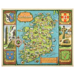
- Original Vintage Travel Poster Map of Ireland Showing Places of Note & InterestLocated in London, GBOriginal vintage poster - Map of Ireland showing places of note and interest. Colorful illustrated map of Ireland by David William Burley (1901-1990) including images of historic arc...Category
Vintage 1950s British Posters
MaterialsPaper


Recently Viewed
View AllMore Ways To Browse
New York City Furniture
New York City Used Furniture
Used Furniture In New York City
New York City Vintage Furniture
1939 Fair
New York Worlds Fair 1939
Used Furniture Brooklyn New York
Used Furniture Park City
Vintage Map
The World Map Vintage
Map Of World Vintage
Map Of The World Vintage
George Map
Madison Vintage Furniture
Vintage Drums And More
Vintage Brown Brooklyn
Washington Map
Vintage City Maps