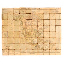
Rare Atlas with Maps of Italy, Europe, Africa, North and South America, and Asia
View Similar Items
Want more images or videos?
Request additional images or videos from the seller
1 of 11
Rare Atlas with Maps of Italy, Europe, Africa, North and South America, and Asia
About the Item
- Dimensions:Height: 1.25 in (3.18 cm)Width: 10 in (25.4 cm)Depth: 12.75 in (32.39 cm)
- Materials and Techniques:
- Place of Origin:
- Period:
- Date of Manufacture:circa 1930
- Condition:
- Seller Location:Milan, IT
- Reference Number:1stDibs: LU91711315408
About the Seller
5.0
Vetted Seller
These experienced sellers undergo a comprehensive evaluation by our team of in-house experts.
Established in 1991
1stDibs seller since 2011
208 sales on 1stDibs
Typical response time: 2 hours
More From This SellerView All
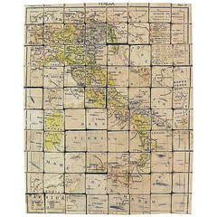
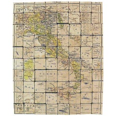
- Puzzle Atlas with Maps, Italy, circa 1900Located in Milan, IT80 little wooden cubes covered with printed paper that depending on which side they form the maps of Italy, Europe, North America, South America, Asia and Africa. Models for teaching...Category
Early 20th Century Italian Maps
MaterialsWood, Paper
- Elementary playful atlas composed of a puzzle, by D. Locchi, Paravia, Italy 1920Located in Milan, ITElementary playful atlas composed of a puzzle made up of eighty fruit wood cubes sandwiched in paper faces. Each of the faces of each die participates in a geographical table, or ele...Category
Early 20th Century Italian Scientific Instruments
MaterialsFruitwood, Paper
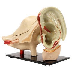
- Rare anatomical model: an external and inner ear, Italy end of 19th century.Located in Milan, ITRare anatomical model for schools, educational use, depicting a separable external and internal ear, complete in all its parts, made of plaster and painted paper mache, metal hooks. ...Category
Antique Late 19th Century Italian Scientific Instruments
MaterialsMetal
- Lithographic print on paper, depicting the atlas of the hand, France 1850 ca.Located in Milan, ITAn anatomical lithographic print on paper, depicting the anatomical atlas of the hand. Black lacquered fir wood frame with golden ramin wood batting. N. H. Ja...Category
Antique Mid-19th Century French Prints
MaterialsGlass, Wood, Paper
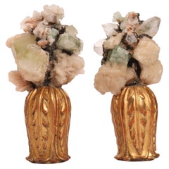
- Natural Specimen a Pair of Druzes with Crystals, Italy, 1880Located in Milan, ITA natural mineral specimen for Wunderkammer. A pair of Apophyllite and white quartz druzes, mounted over carved wooden base, vase shape with l...Category
Antique 1870s Italian Natural Specimens
MaterialsCrystal, Quartz, Rock Crystal
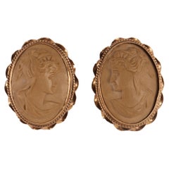
- Pair of lava and gold earrings, Italy end of 19th century.Located in Milan, ITGold and lava earrings. The oval cameos, sculpted in light lava, depict two profile busts of young women with classic hairstyles on a smooth background. ...Category
Antique Late 19th Century Italian Collectible Jewelry
MaterialsLava, Gold

You May Also Like
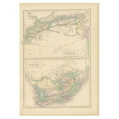
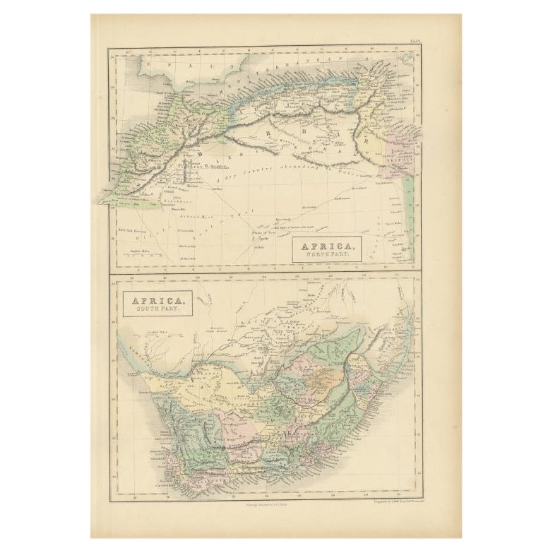
- Antique Map of North Africa and South Africa by Black, 1854Located in Langweer, NLAntique map titled 'Africa north part - Africa south part'. Old map of Africa showing the region of Morocco, Algeria and South Africa. This map orginates from 'General Atlas Of The W...Category
Antique 19th Century Maps
MaterialsPaper
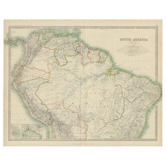
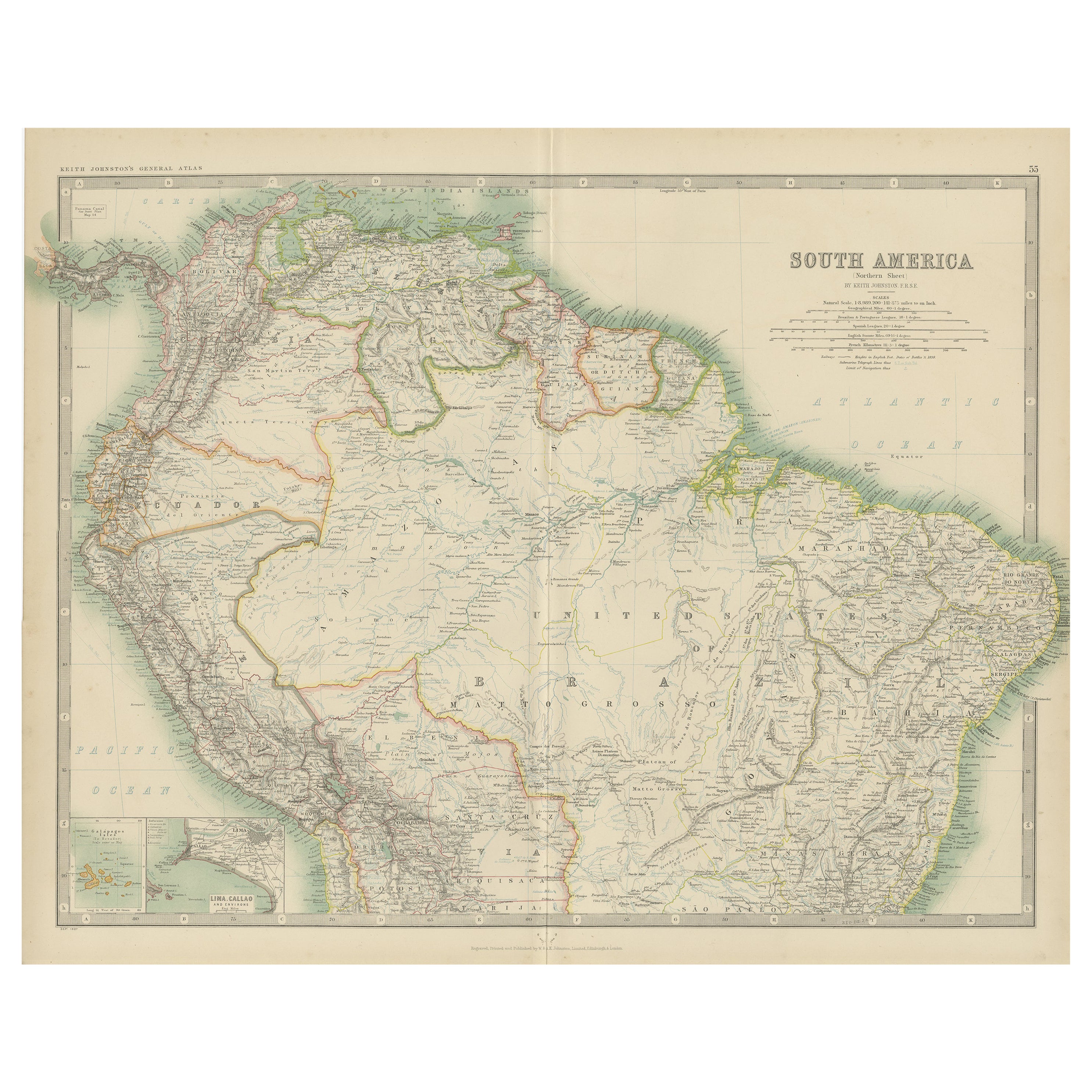
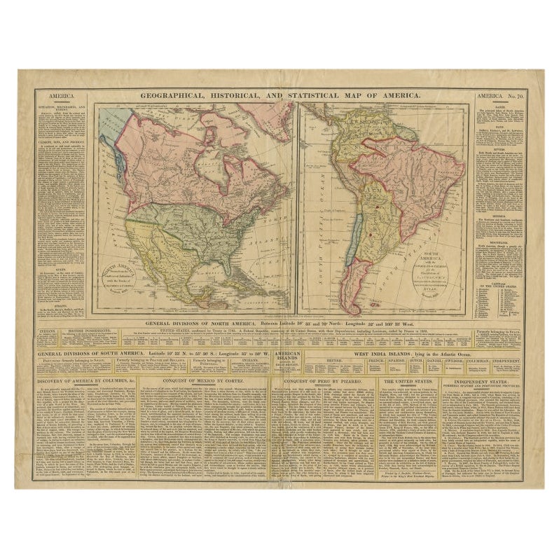
- Exploring South America's North: Antique Map from the Royal Atlas of 1909Located in Langweer, NLThe antique map titled 'South America, Northern Sheet' is a historical cartographic representation of the northern part of South America. This original antique map features inset map...Category
Early 20th Century Maps
MaterialsPaper
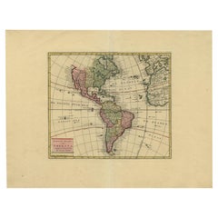
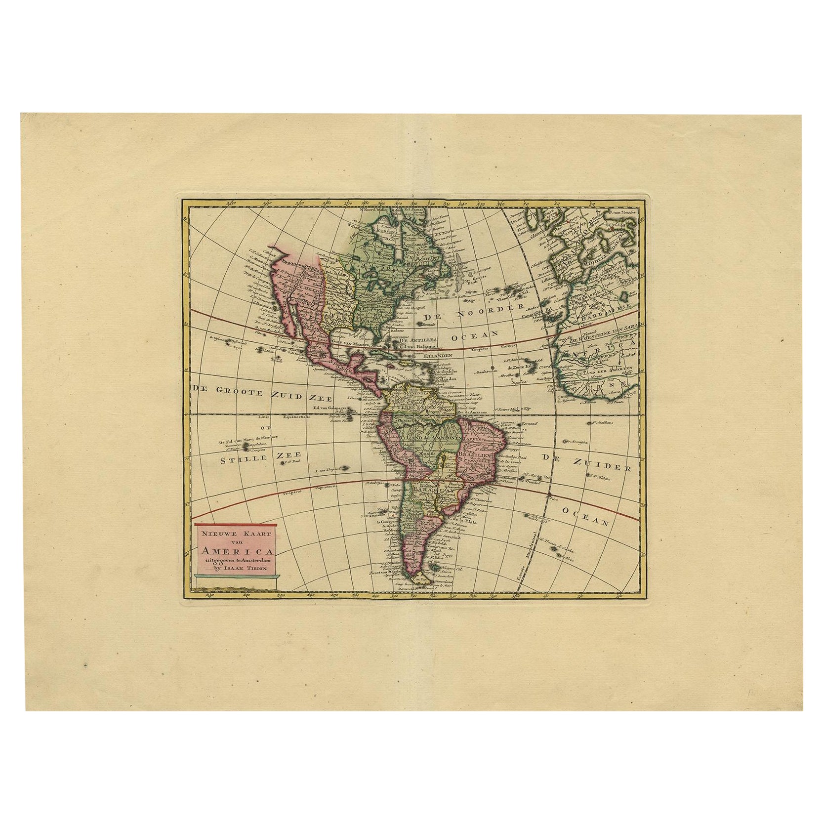
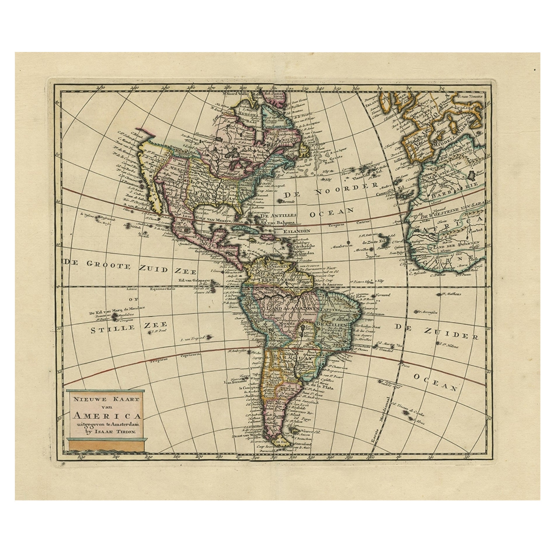
- Very Attractive Map of North and South America and Western Part of Africa, 1744Located in Langweer, NLAntique map titled 'Nieuwe Kaart van America.' Very attractive map of North and South America, the western part of Africa and south west Europe. With full contemporary hand colouring...Category
Antique 18th Century Maps
MaterialsPaper
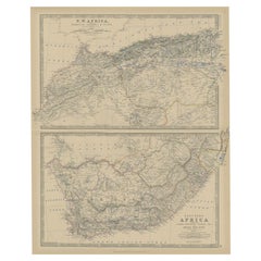
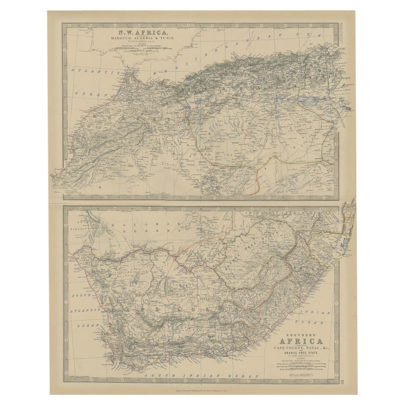
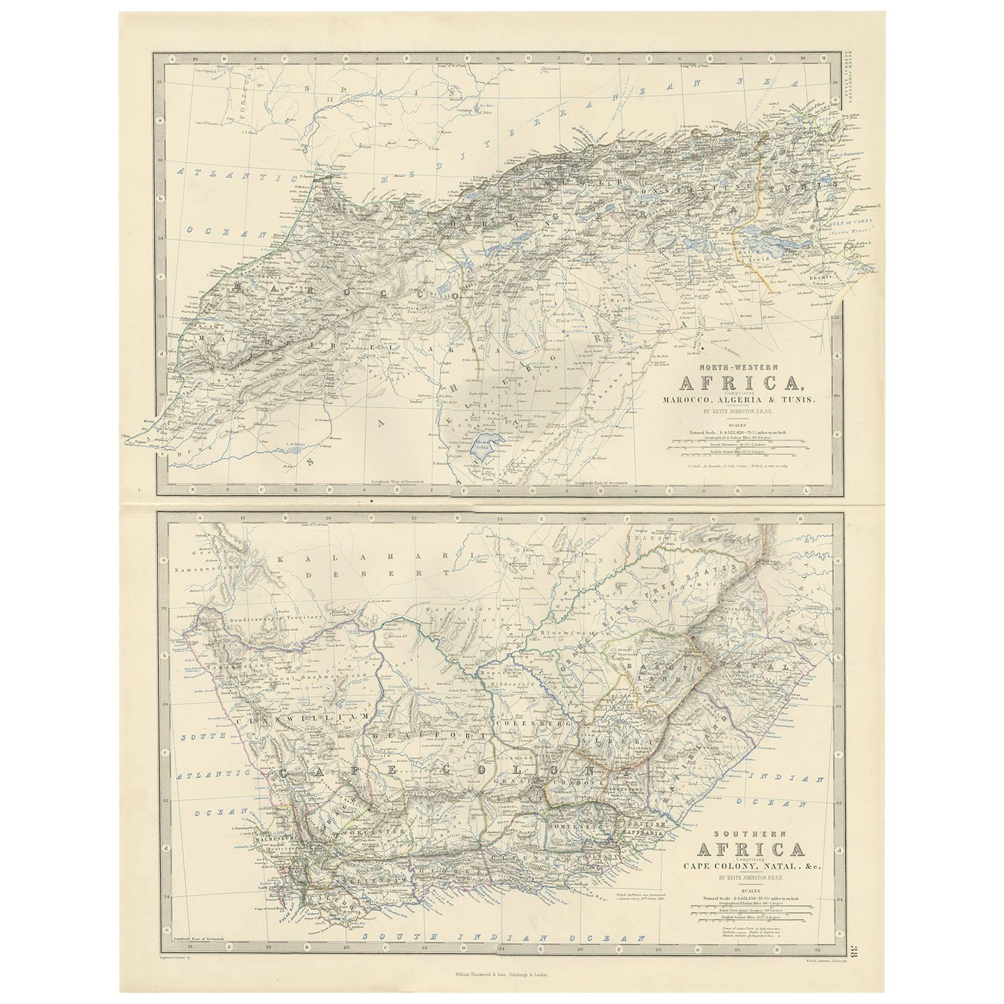
- Antique Map of North and South Africa by Johnston, 1882Located in Langweer, NLTwo antique maps on one sheet titled 'N.W. Africa, Marocco, Algeria & Tunis' and 'Southern Africa, comprising Cape Colony, Natal & c'. This map originates from 'The Royal Atlas of ...Category
Antique 19th Century Maps
MaterialsPaper
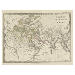
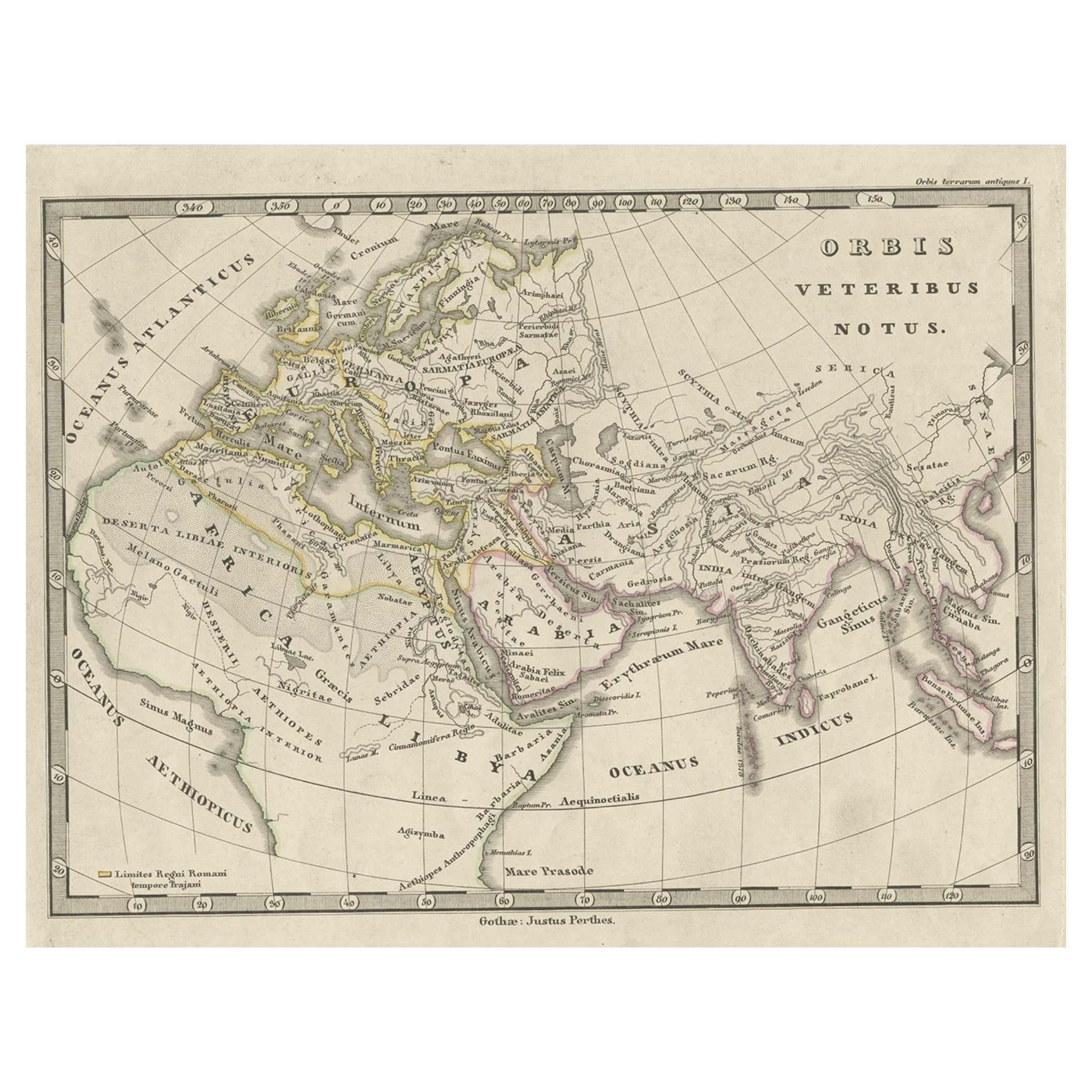
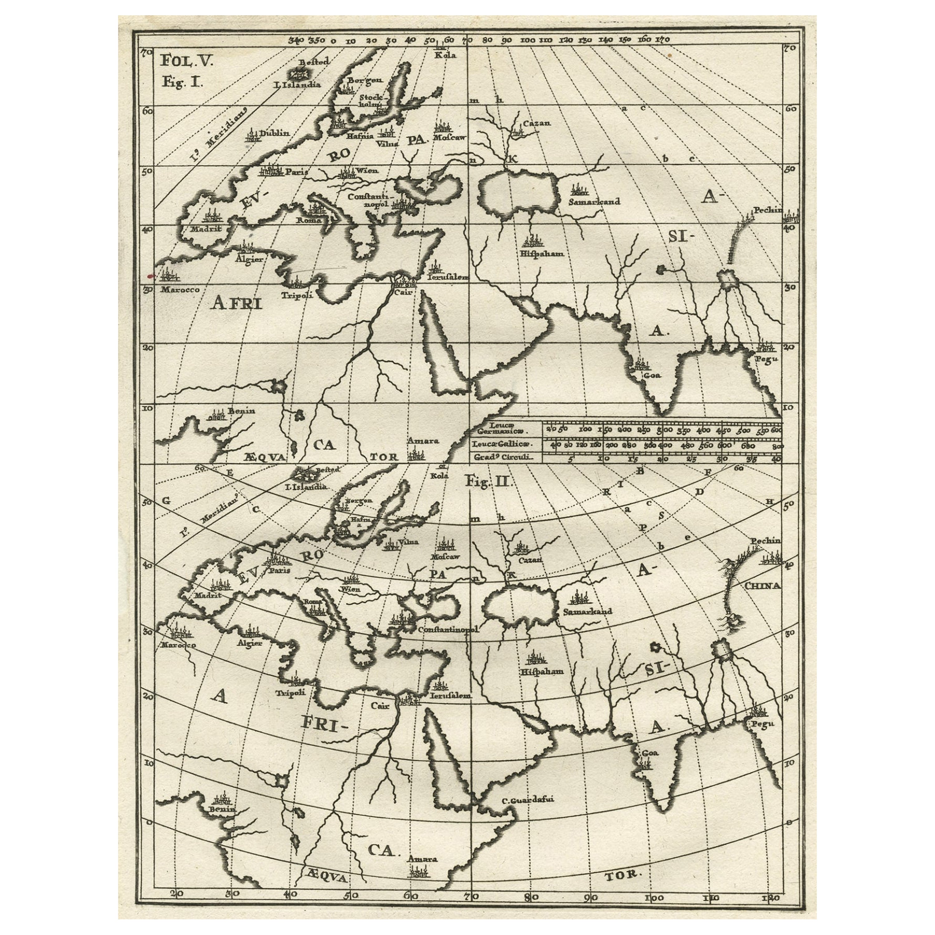
- Antique Map of Europe and Part of Asia and Africa, 1848Located in Langweer, NLAntique map titled 'Orbis Veteribus Notus'. Old map of the European continent, also depicting a portion of Asia and Africa. Originating from 'Orbis Terrarum Antiquus in usum Scholaru...Category
Antique 19th Century Maps
MaterialsPaper
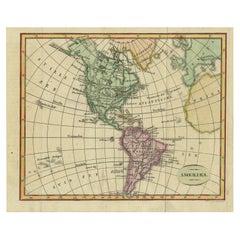
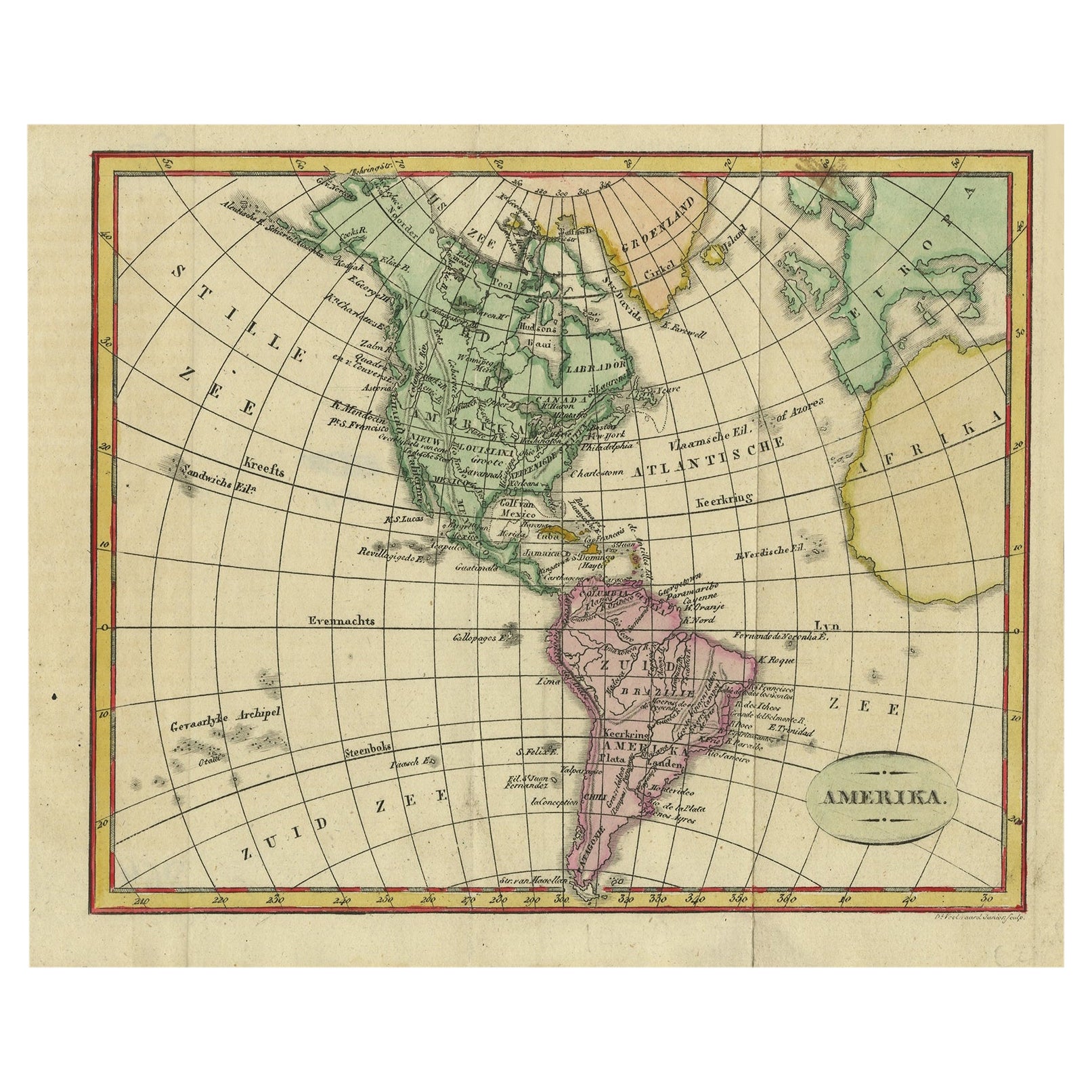
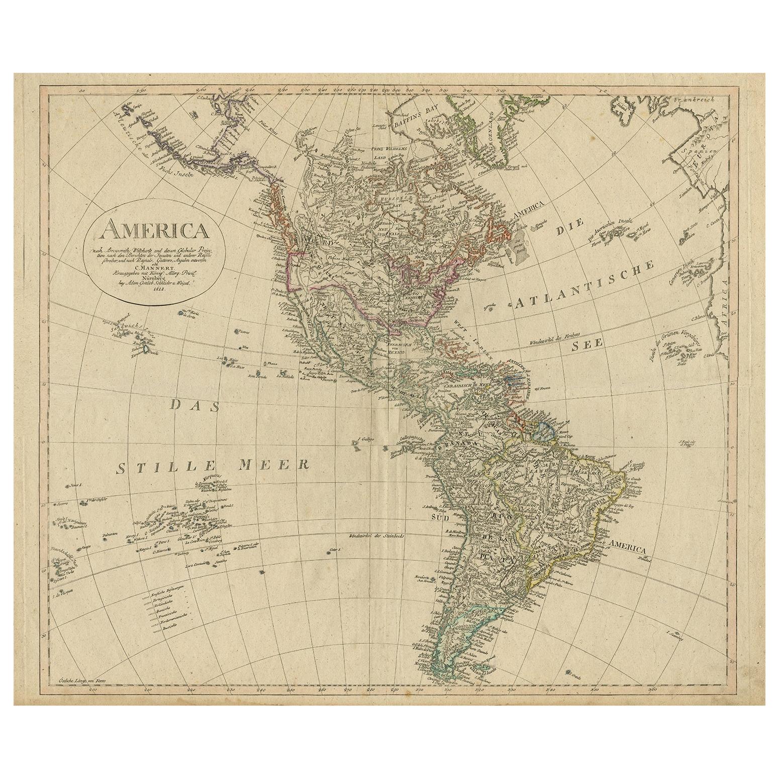
- Decorative Dutch Antique Map of North and South America, 1841Located in Langweer, NLDescription: Antique map titled 'Amerika'. Small map of North and South America. This map originates from the Dutch publication 'De Aarde, beschouwd in haren Natuurlijken Toestan...Category
Antique 1840s Maps
MaterialsPaper