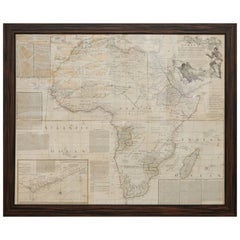
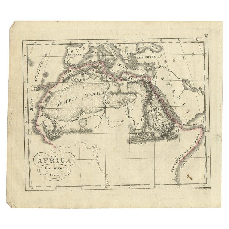
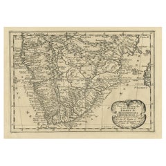
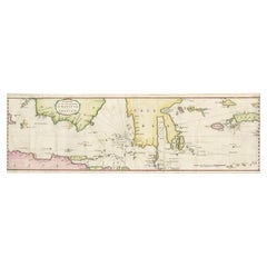
Rare Engraved Map of Africa by Samuel Boulton, 1800
View Similar Items


Want more images or videos?
Request additional images or videos from the seller
1 of 8
Rare Engraved Map of Africa by Samuel Boulton, 1800
About the Item
- Creator:Samuel Boulton (Maker)
- Dimensions:Height: 45.5 in (115.57 cm)Width: 53.5 in (135.89 cm)Depth: 1.5 in (3.81 cm)
- Style:Neoclassical (Of the Period)
- Materials and Techniques:Paper,Engraved
- Place of Origin:
- Period:
- Date of Manufacture:1800
- Condition:Wear consistent with age and use. Small embossed collector mark.
- Seller Location:Kensington, MD
- Reference Number:1stDibs: f977618041010425363fs
About the Seller
5.0
Vetted Seller
These experienced sellers undergo a comprehensive evaluation by our team of in-house experts.
Established in 1962
1stDibs seller since 2013
137 sales on 1stDibs
More From This SellerView All
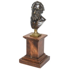
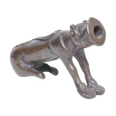
- Rare Bronze Portrait Bust of Henri IV after Model by Barthelemy Prieur, c. 1800By Barthélemy Prieur 1Located in Kensington, MDThis handsome bronze portrait bust of the French King Henri IV is based on a model by Barthelemy Prieur (1540-1611) depicting the King nude as the Ro...Category
Antique Early 19th Century French Renaissance More Furniture and Collect...
MaterialsBronze
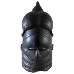
- African Mende Helmut MaskLocated in Kensington, MDCarved Helmut masks of this type were made by the Sande society of the Mende people of Sierra Leone, Africa for use in masquerades by young women in initi...Category
20th Century Sierra Leonean Tribal Tribal Art
MaterialsWood
- Rare Bronze Indian Firecracker Cannon of Tiger Form, 18th CenturyLocated in Kensington, MDA beautifully designed early fireworks or flare cannon in tiger form. A small hole is drilled at the top rear of the cannon for the wick. In India, firecrackers and fireworks are tr...Category
Antique Late 18th Century Indian Tribal Figurative Sculptures
MaterialsBronze
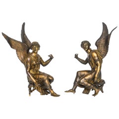
- Pair of French Gilt Bronze Depictions of the Goddess Nike, circa 1810Located in Kensington, MDThis arrestingly beautiful pair of gilt bronze depictions of Nike the goddess of victory seated on curule stools. They are near mirror images of each other. The arms are outstretched...Category
Antique Early 18th Century French Neoclassical Figurative Sculptures
MaterialsBronze
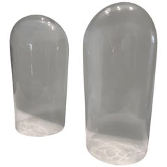
- Pair of Large Clear Glass Display DomesLocated in Kensington, MDThis pair of tall glass display domes or cloches are perfect for showcasing fragile artworks, watches or botanicals. The photographs appear dark, b...Category
20th Century American American Classical Glass
MaterialsGlass
- Pair of Bronze Infants, French, 19th CenturyBy Jean-Antoine HoudonLocated in Kensington, MDA charming pair of patinated bronze infants cast in the 19th century. One of the babies is happy, while the other one is crying, perhaps corresponding to an 18th century poem by Vota...Category
Antique 19th Century French Neoclassical Figurative Sculptures
MaterialsBronze
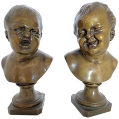 $1,500 / set
You May Also Like
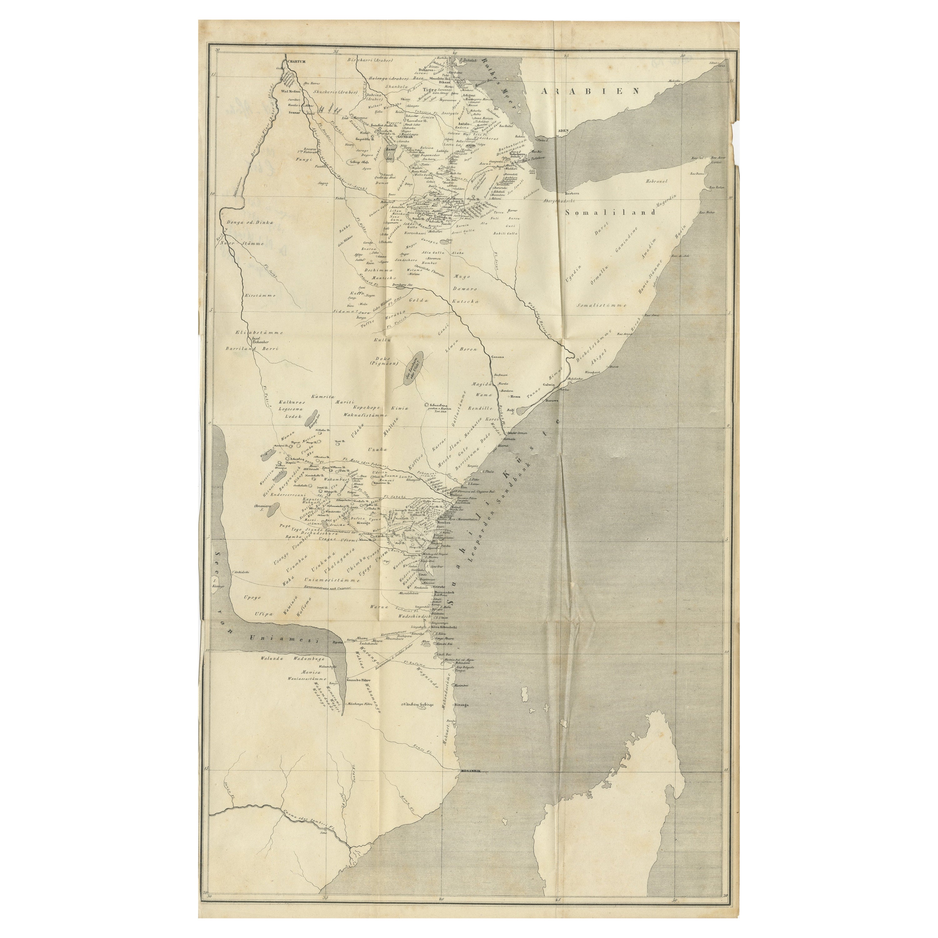
- Antique Map of Eastern Africa, Engraved by a German Missionary, 1858Located in Langweer, NLOriginal antique map of Eastern Africa. This map originates from 'Reisen in Ost-Afrika, ausgeführt in dem Jahren 1837-55' by J.L. Krapf. Published 1858. Artists and Engravers: Jo...Category
Antique 19th Century Maps
MaterialsPaper
- Original Copperplate Engraved Detailed Map of South Africa, ca.1680Located in Langweer, NLAntique map titled 'Pays et Coste des Caffres Empires de Monomotapa (..)'. Detailed map of South Africa. Engraved by Antoine d'Winter for a Dutch edition of Sanson's pocket atlas...Category
Antique 1680s Maps
MaterialsPaper
 $314 Sale Price20% Off
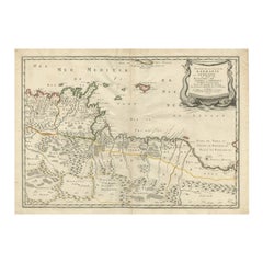
 - Rare Authentic Engraved Map of Large Part of Indonesia by Stavorinus, 1779Located in Langweer, NLAntique map titled 'Carte de la Navigation de Batavia a Amboina'. Rare chart of Indonesia including Borneo, Java, Celebes, Ceram and more. This map originates from 'Voyage par le Cap...Category
Antique 18th Century Maps
MaterialsPaper
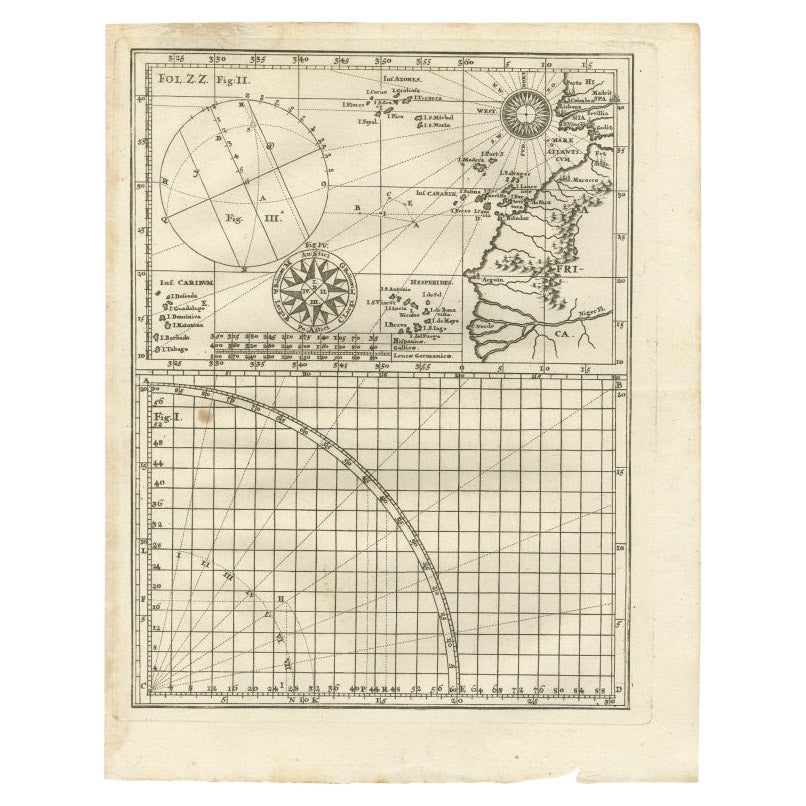
- Rare Antique Map of Part of Europe and Africa by Scherer, C.1703Located in Langweer, NLAntique map with two figures. The upper figures showing part of Europe and Africa. Below a chart. Printed for Scherer's 'Atlas Novus' (1702-1710). Artists and Engravers: Heinrich Sch...Category
Antique 18th Century Maps
MaterialsPaper
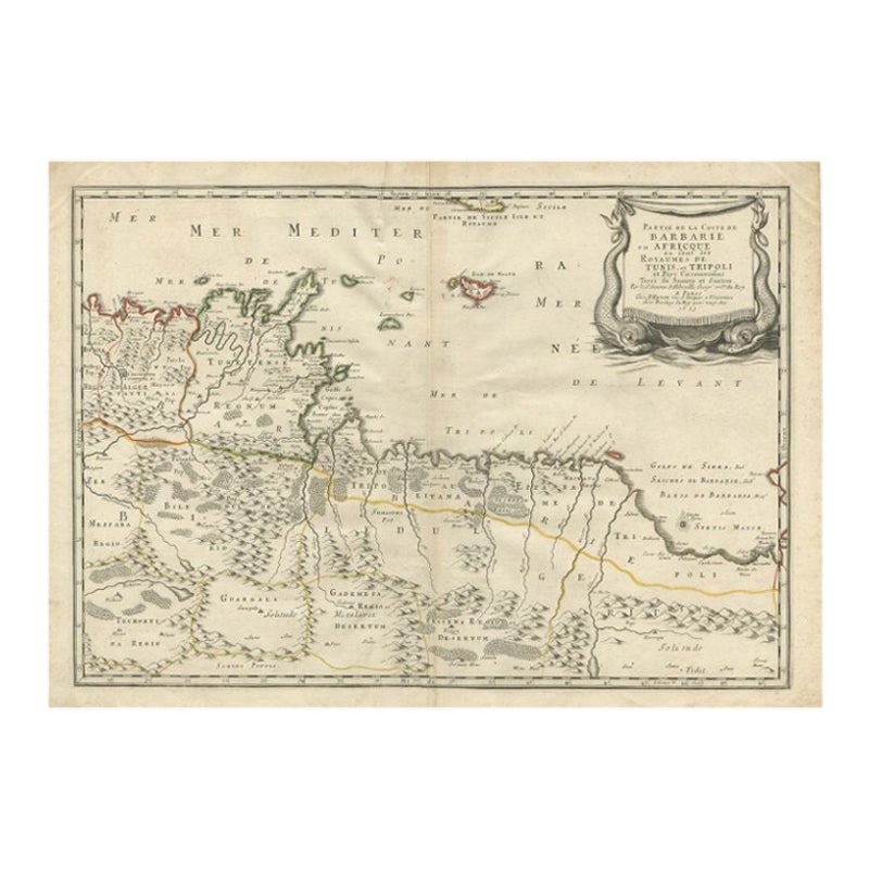
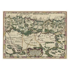
- Rare Antique Map of 'Barbarie' or Northern Africa, 1655Located in Langweer, NLAntique map titled 'Partie de la Coste de Barbarie en Africque ou sont les Royaumes de Tunis et Tripoli et Pays Circomvoisins'. This map depicts North Africa with Malta and originate...Category
Antique 17th Century Maps
MaterialsPaper
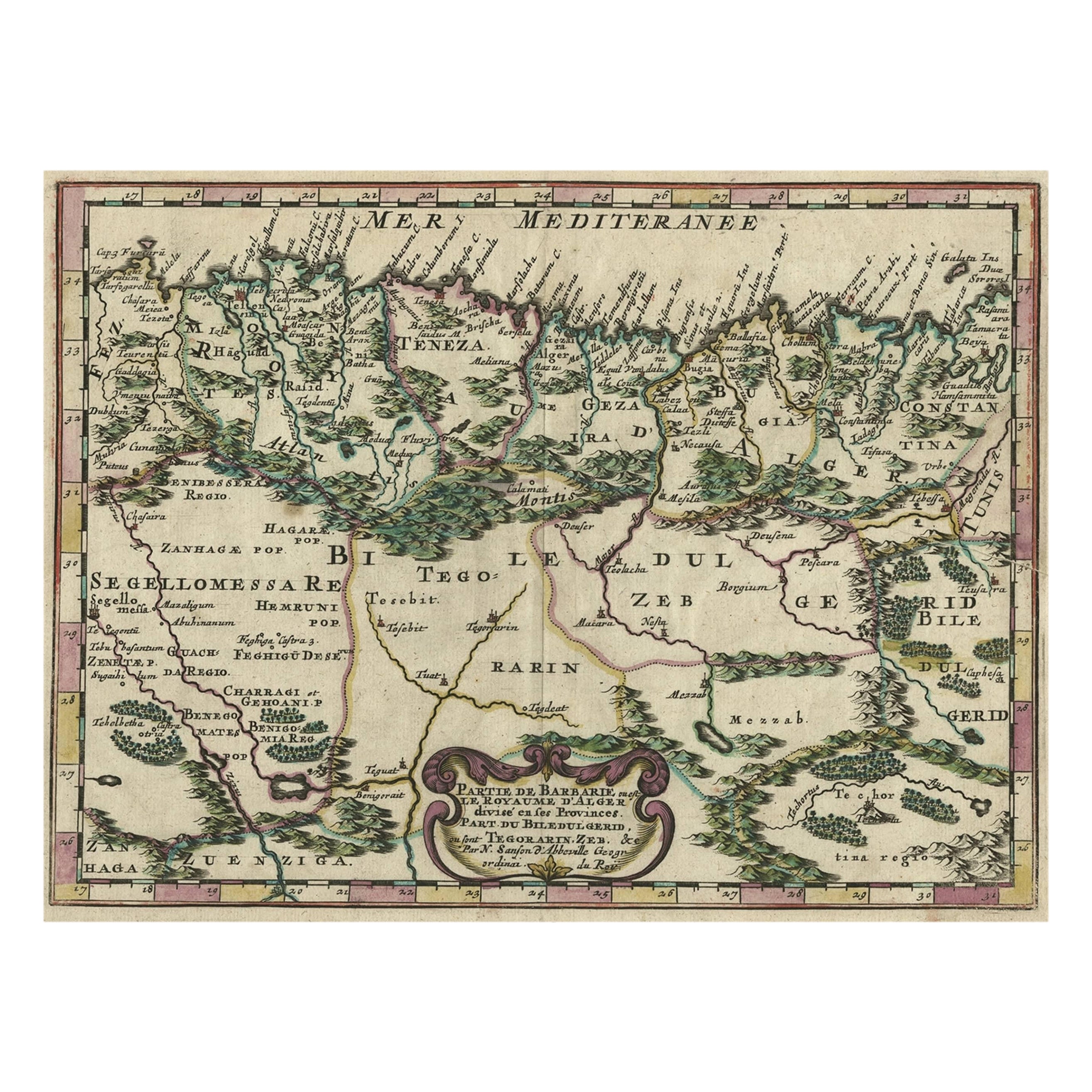
- Copper-Engraved Map Showing the Algerian Coast of North Africa, Published 1683Located in Langweer, NLAntique map titled 'Partie de Barbarie, ou est le Royaume d'Alger (..)'. Copper-engraved map showing the Algerian coast of North Africa. Published 1683. Artists and Engravers:...Category
Antique 1680s Maps
MaterialsPaper


Recently Viewed
View AllMore Ways To Browse
Et Cetera
Framed Africa Maps
Antique Whimsical
Antique Atlas Map
Antique Prints Maps
Antique Maps Prints
Antique Map Prints
Antique Map Print
Antique Maps And Prints
Antique Prints And Maps
Map 19th Century
Antique Atlas Furniture
Antique Lined Paper
Map Of France
Large Map
Large Maps
Antique German Collectibles
Original World Map