Items Similar to Steel Engraved Map of Central Asia Covering the Chinese Empire, Tibet Etc, C1843

Want more images or videos?
Request additional images or videos from the seller
1 of 5
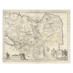
Steel Engraved Map of Central Asia Covering the Chinese Empire, Tibet Etc, C1843
About the Item
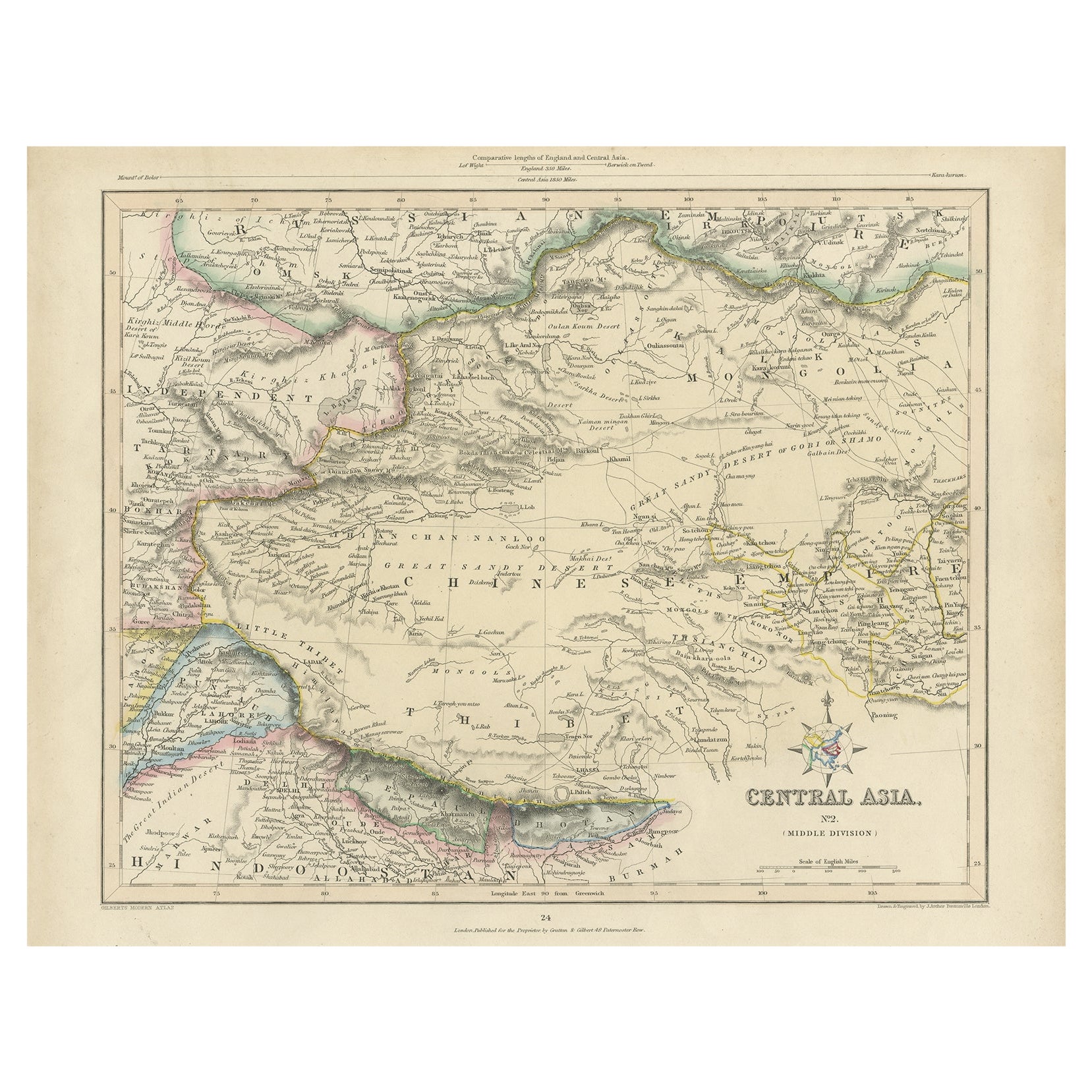
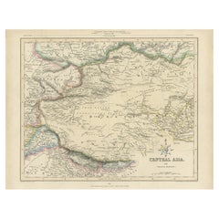
Antique map titled 'Central Asia (Middle Division)'.
Steel engraved map of Central Asia covering the Chinese Empire, Tibet and surroundings. This map originates from 'Gilberts Modern Atlas'.
Artists and Engravers: Drawn and engraved by J. Archer.
- Dimensions:Height: 10.04 in (25.5 cm)Width: 12.21 in (31 cm)Depth: 0 in (0.02 mm)
- Materials and Techniques:
- Period:
- Date of Manufacture:circa 1843
- Condition:
- Seller Location:Langweer, NL
- Reference Number:
About the Seller
5.0
Platinum Seller
These expertly vetted sellers are 1stDibs' most experienced sellers and are rated highest by our customers.
Established in 2009
1stDibs seller since 2017
1,914 sales on 1stDibs
Typical response time: <1 hour
- ShippingRetrieving quote...Ships From: Langweer, Netherlands
- Return PolicyA return for this item may be initiated within 14 days of delivery.
More From This SellerView All
- Antique Map of Central Asia, Finely Engraved, 1841Located in Langweer, NLAntique map titled 'Central Asia, Middle Division'. A finely engraved and attractive mid 19th Century map of Central Asia which was drawn and engraved by Joshua Archer and published ...Category
Antique 19th Century Maps
MaterialsPaper
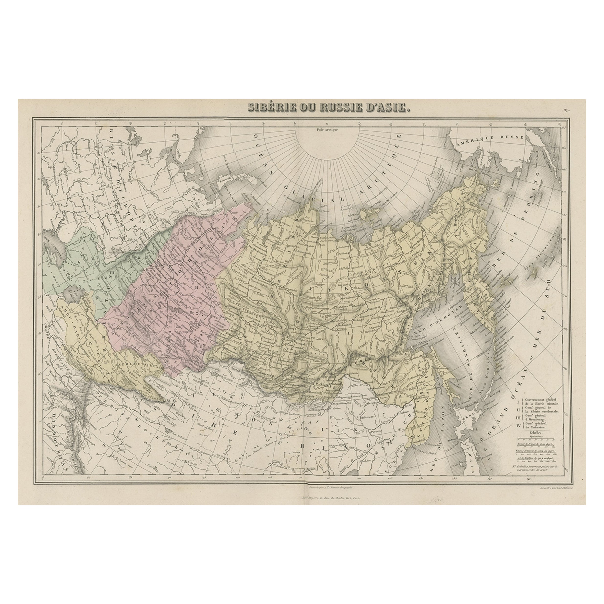
- Original Antique Map Covering the Russian Empire in Asia, 1880Located in Langweer, NLAntique map titled 'Sibérie ou Russie d'Asie'. Migeon's map covers the Russian empire in Asia from european Russia and the Ural Mountains to the Bering Strait and from the Arctic...Category
Antique 1880s Maps
MaterialsPaper
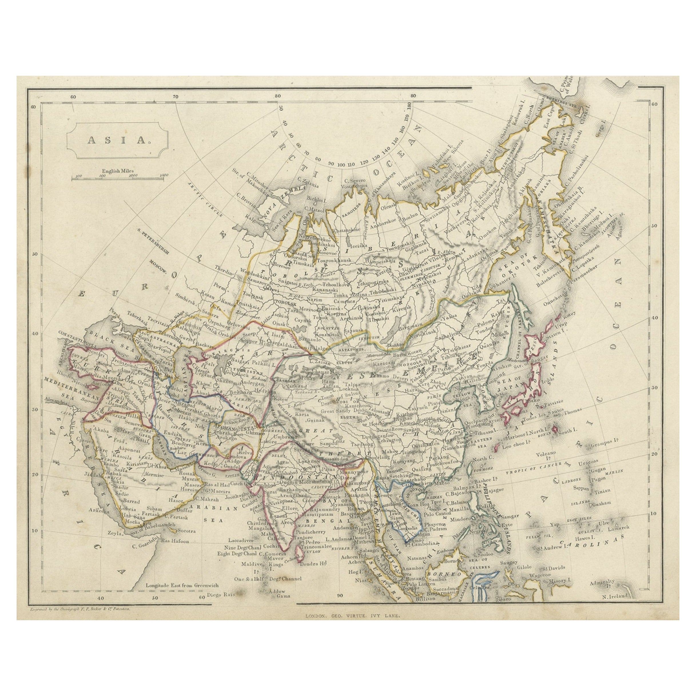
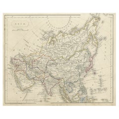
- Antique Steel Engraved Map of Asia, c.1860Located in Langweer, NLAntique map titled 'Asia'. Steel engraved map of Asia by F. P. Becker & Co. Artists and Engravers: Engraved by F.P. Becker & Co. Published in London. Condition: Very good, gen...Category
Antique 19th Century Maps
MaterialsPaper
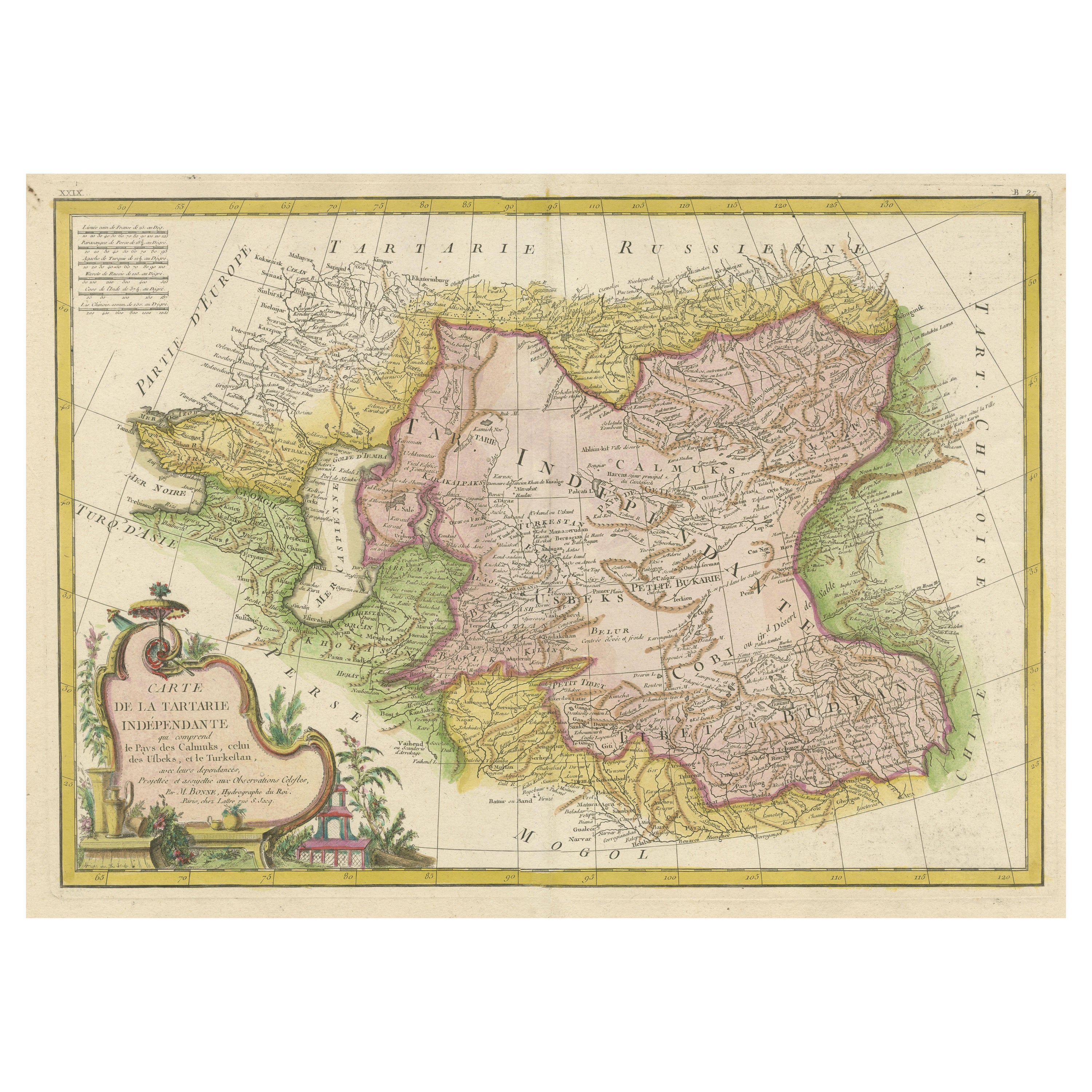
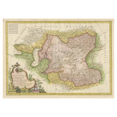
- Decorative Antique Map of Central AsiaLocated in Langweer, NLAntique map titled 'Carte de la Tartarie Indépendante (..)'. Decorative map of Central Asia (Tartary). Covers from the Black Sea south to China, north to Russia, and south to Persia ...Category
Antique Late 18th Century Maps
MaterialsPaper
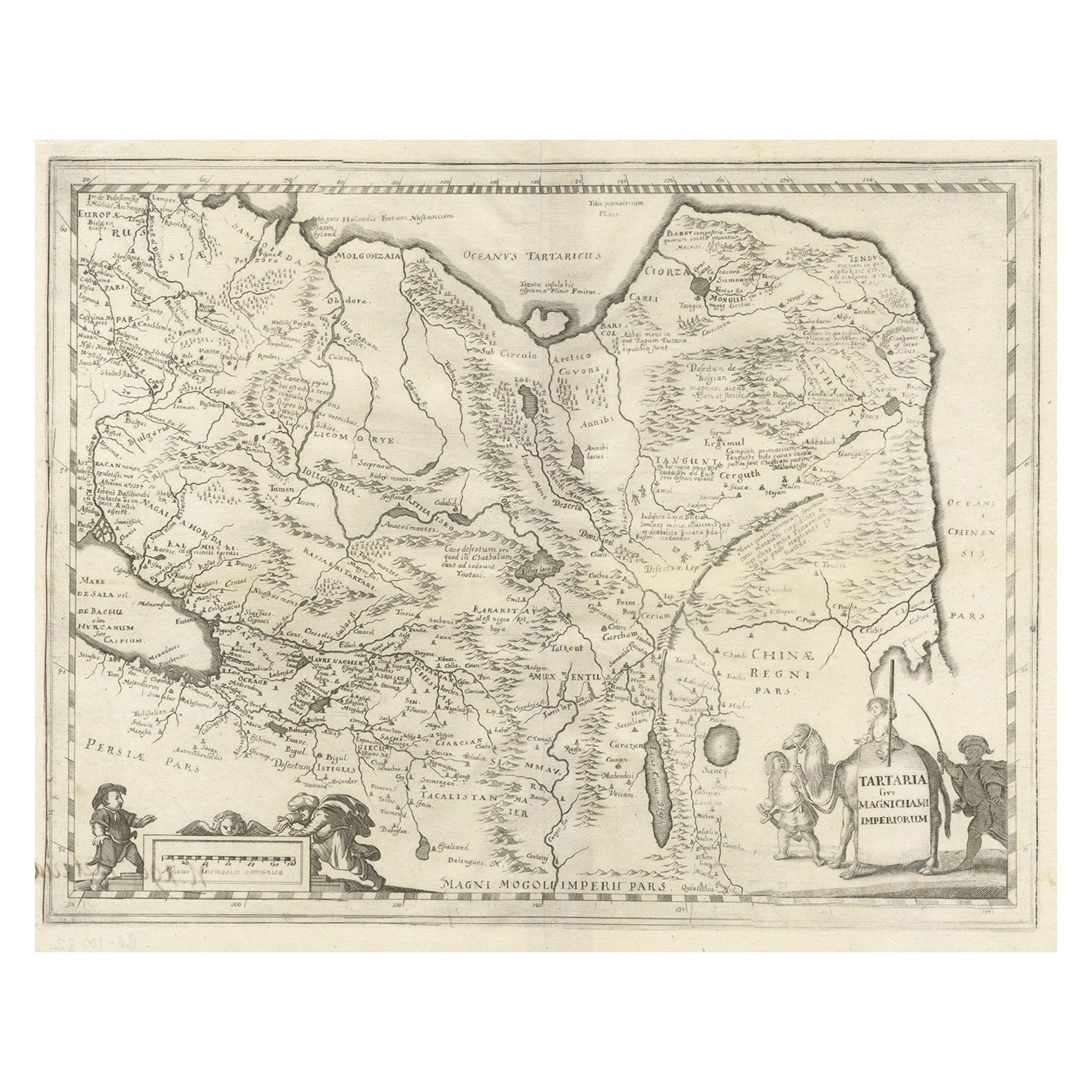
- Antique Map of China, Tartary and Central Asia by Blaeu, c.1645Located in Langweer, NLAntique map titled ‘Tartaria sive Magnichami Imperiorum‘. Early map of Siberia based upon the journals of Marco Polo. The map covers from the Caspian Sea and the Volga River east as far as the China Sea and the city of Xanadu. It extends north to Nova Zembla and south to the Upper Ganges River. When Blaeu drew this map this part of the world was almost entirely unknown. Blaeu relied on the journals of Marco Polo to compile most of the map. Devils and dragons frolic in the Lop Nor and far to the north the summer seat...Category
Antique 17th Century Maps
MaterialsPaper
- Original Antique Engraved Map of the Russian Empire, 1778Located in Langweer, NLDescription: Antique map titled 'A New and Correct Map of the Russian Empire'. Original antique map of the Russian Empire. This map originates from Moore's 'New and Complete Coll...Category
Antique 1770s Maps
MaterialsPaper


You May Also Like
- Antique Carte de L'Inde Myanmar, Malaysia Vietnam Map of Asia the Chinese EmpireLocated in Amsterdam, Noord HollandAntique Carte de L'Inde Myanmar, Malaysia Vietnam Map of Asia the Chinese Empire Very nice map of Asia. Additional information: Type: Map Country of Man...Category
Antique 18th Century European Maps
MaterialsPaper
- Super Rare Antique French Map of Chine and the Chinese Empire, 1780Located in Amsterdam, Noord HollandSuper Rare Antique French Map of Chine and the Chinese Empire, 1780 Very nice map of Asia. 1780 Made by Bonne. Additional information: Type: Map ...Category
Antique 18th Century European Maps
MaterialsPaper
- Antique French Map of Asia Including China Indoneseia India, 1783Located in Amsterdam, Noord HollandVery nice map of Asia. 1783 Dedie au Roy. Additional information: Country of Manufacturing: Europe Period: 18th century Qing (1661 - 1912) Condition: Overall Condition B (Good Used)...Category
Antique 18th Century European Maps
MaterialsPaper
- Antique 1803 Italian Map of Asia Including China Indoneseia IndiaLocated in Amsterdam, Noord HollandAntique 1803 Italian Map of Asia Including China Indoneseia India Very nice map of Asia. 1803. Additional information: Type: Map Country of Manufacturing: Europe Period: 19th centu...Category
Antique 19th Century European Maps
MaterialsPaper
- Antique Map of Italy by Andriveau-Goujon, 1843By Andriveau-GoujonLocated in New York, NYAntique Map of Italy by Andriveau-Goujon, 1843. Map of Italy in two parts by Andriveau-Goujon for the Library of Prince Carini at Palazzo Carini i...Category
Antique 1840s French Maps
MaterialsLinen, Paper
- Italian Empire Furniture, 1800-1843By Enrico ColleLocated in London, GBPublished by Rizzoli, first edition, 1998 This volume illustrates the singular and highly original direction that the Empire style took in Italy during the period of French rule a...Category
1990s American Mid-Century Modern Books
MaterialsPaper


Recently Viewed
View AllMore Ways To Browse
The China
Empire China
Tibet Antiques
1840 Empire Antique Furniture
Antique Map China
Antique China Map
Antique Chinese Maps
Antique Maps Of China
Antique Map Of China
Chinese Antique Map
Atlas China
Map Central Asia
Antique House Plans
Antique Metal Window
Antique Metal Windows
Antique Furniture Rollers
Antiques Compasses
Antique Maps Book