Items Similar to Striking Antique Map of Luxembourg and Northern France 'Lotharingen', c.1680


Want more images or videos?
Request additional images or videos from the seller
1 of 5
Striking Antique Map of Luxembourg and Northern France 'Lotharingen', c.1680
About the Item
Description: Antique map titled 'Exactissima Lotharingia tam Regis Gallorum quam Ducis.' -
Striking map of Luxembourg and Northern France. Includes the cities of Toul, Nancy, Metz and Trier. Embellished with a handsome title cartouche. Source unknown, to be determined.
Artists and Engravers: Made by an anonymous engraver after 'Carel Allard'. Carel Allard (1648 - 1709 in Amsterdam) wasr a Dutch art dealer, cartographer and engraver.
Condition:
Fair, given age. Narrow margins; remargined for framing. Middle fold partly refibred. A few spots in the scale area below. Top edge with some tiny tears, not affecting image. Original middle fold as issued. General age-related toning and/or occasional minor defects from handling. Please study image carefully.
- Dimensions:Height: 18.71 in (47.5 cm)Width: 22.25 in (56.5 cm)Depth: 0 in (0.02 mm)
- Materials and Techniques:
- Period:1680-1689
- Date of Manufacture:circa 1680
- Condition:Repaired: Remargined for framing. Middle fold partly refibred.
- Seller Location:Langweer, NL
- Reference Number:
About the Seller
5.0
Platinum Seller
These expertly vetted sellers are 1stDibs' most experienced sellers and are rated highest by our customers.
Established in 2009
1stDibs seller since 2017
1,913 sales on 1stDibs
Typical response time: <1 hour
- ShippingRetrieving quote...Ships From: Langweer, Netherlands
- Return PolicyA return for this item may be initiated within 14 days of delivery.
More From This SellerView All
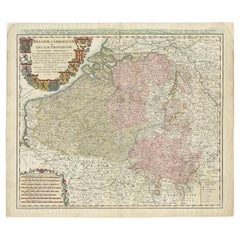
- Antique Map of Belgium and Northern France by F. de Wit, circa 1680Located in Langweer, NLAntique map titled 'Belgii Regii Accuratissima Tabula Pluribus Locis Recens Emen'. Large map of Belgium and Northern France. Published by F. de Wit, circa 1680.Category
Antique Late 17th Century Maps
MaterialsPaper
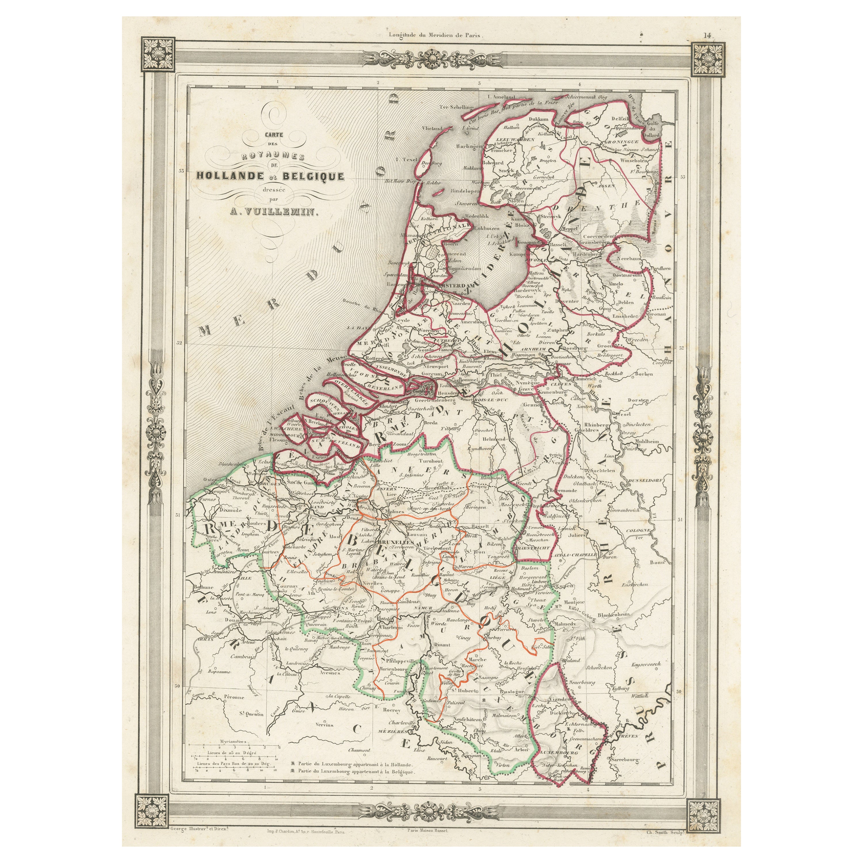
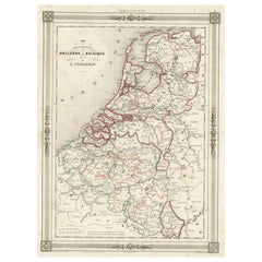
- Antique Map of the Netherlands, Belgium and LuxembourgLocated in Langweer, NLAntique map titled 'Carte des Royaumes Hollande et Belgique'. Attractive map of the Netherlands, Belgium and Luxembourg. This map originates fro...Category
Antique Mid-19th Century Maps
MaterialsPaper
- Large Antique Map of France by De Wit, c.1680By Frederick de WitLocated in Langweer, NLAntique map titled 'Accuratissima Galliae Tabula vulgo Royaume de France'. Detailed map of France. Shows provinces, cities, rivers etc. Artists and Engravers: Frederick de Wit (1...Category
Antique 17th Century Maps
MaterialsPaper
- Original Antique Map of Northern IndiaBy Jakob van der SchleyLocated in Langweer, NLAntique map titled 'Carte de l'Indoustan (..) - Kaart van Hindoestan (..)'. Original antique map of northern India. This map originates from 'His...Category
Antique Mid-18th Century Maps
MaterialsPaper
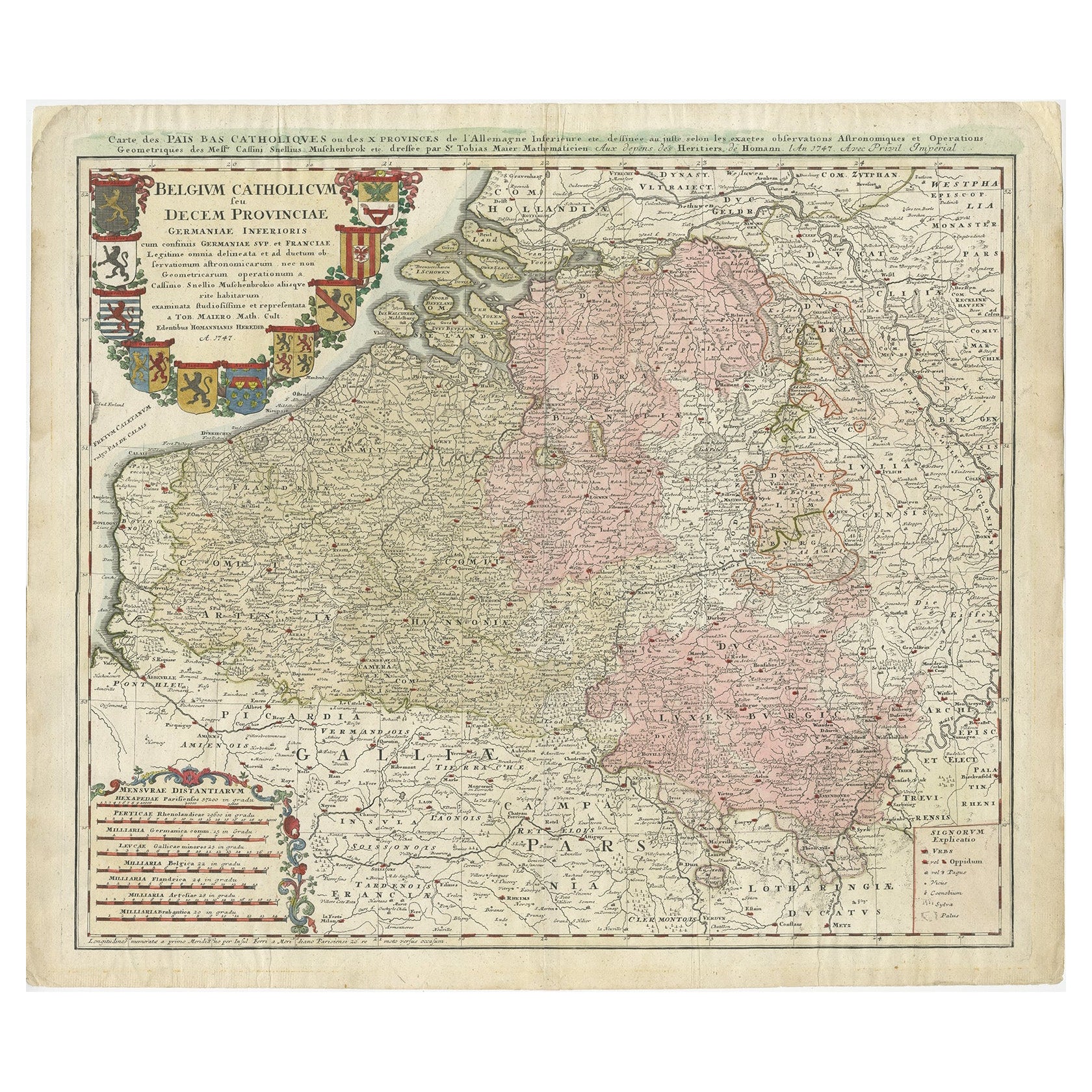
- Antique Map of Belgium and Luxembourg by Homann Heirs, 1747Located in Langweer, NLAntique map titled 'Belgium Catholicum seu Decem provinciae Germaniae Inferioris cum confiniis Germaniae sup. et Francia (..).' Detailed map of Belgium ...Category
Antique 18th Century Maps
MaterialsPaper
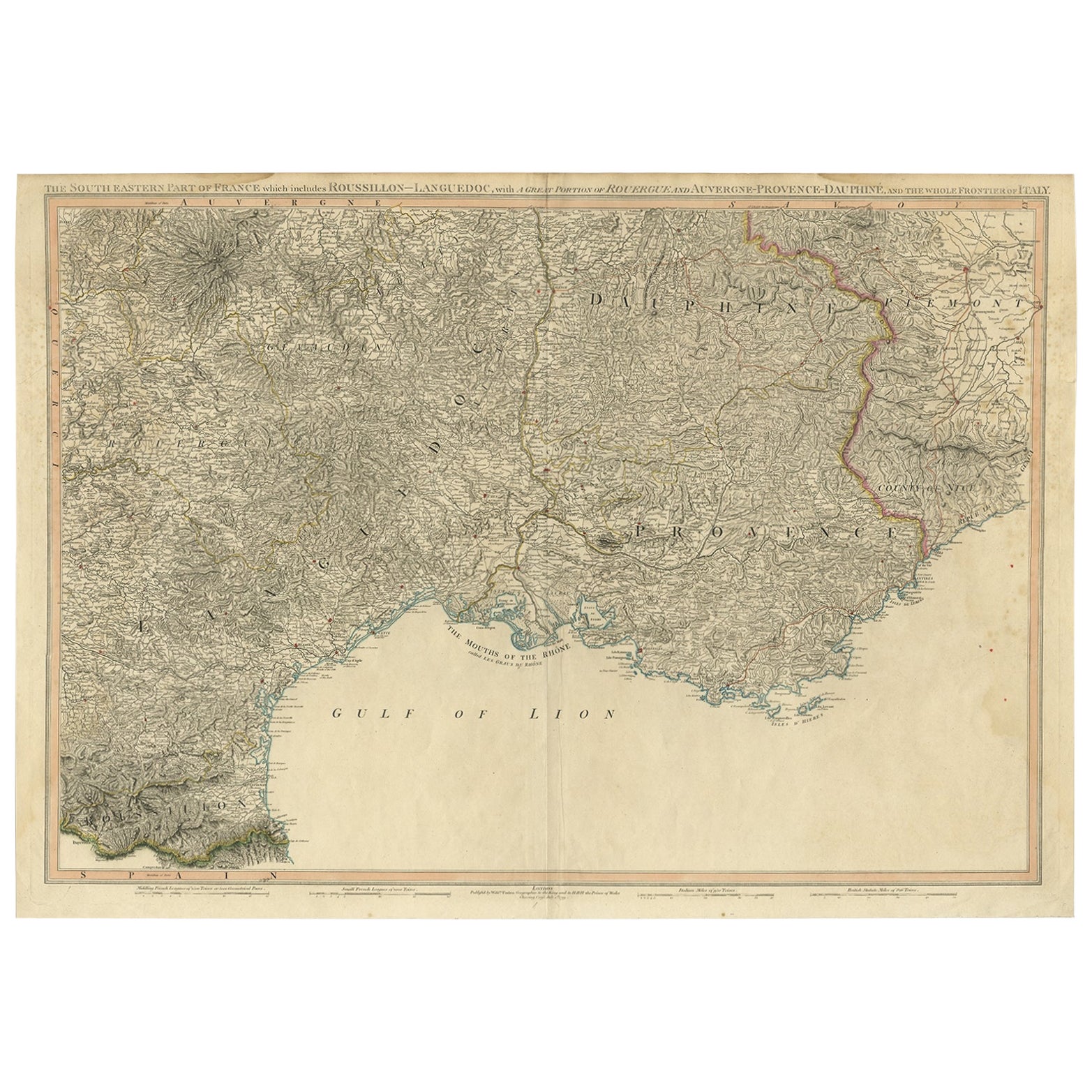
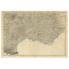
- Striking Large Format Antique Map of Southeastern France, 1799Located in Langweer, NLAntique map titled 'The South Eastern Part of France which includes Roussillon-Languedoc, with a Great Portion of Rouergue and Auvergne-Provence-Dauphine, and the Whole Frontier of Italy'. Striking large format map...Category
Antique 1790s Maps
MaterialsPaper


You May Also Like
- Original Antique Map of France, Arrowsmith, 1820Located in St Annes, LancashireGreat map of France Drawn under the direction of Arrowsmith. Copper-plate engraving. Published by Longman, Hurst, Rees, Orme and Brown, 1820 Unframed.Category
Antique 1820s English Maps
MaterialsPaper
- Antique Map of Principality of MonacoBy Antonio Vallardi EditoreLocated in Alessandria, PiemonteST/619 - "Old Geographical Atlas of Italy - Topographic map of ex-Principality of Monaco" - ediz Vallardi - Milano - A somewhat special edition ---Category
Antique Late 19th Century Italian Other Prints
MaterialsPaper
- Original Antique Map of France, Sherwood, Neely & Jones, Dated 1809Located in St Annes, LancashireGreat map of France Copper-plate engraving by Cooper Published by Sherwood, Neely & Jones. Dated 1809 Unframed.Category
Antique Early 1800s English Maps
MaterialsPaper
- Original Antique Map of Spain and Portugal, circa 1790Located in St Annes, LancashireSuper map of Spain and Portugal Copper plate engraving by A. Bell Published, circa 1790. Unframed.Category
Antique 1790s English Other Maps
MaterialsPaper
- Original Antique Map of Ireland- Tipperary and Waterford. C.1840Located in St Annes, LancashireGreat map of Tipperary and Waterford Steel engraving Drawn under the direction of A.Adlard Published by How and Parsons, C.1840 Unframed.Category
Antique 1840s English Maps
MaterialsPaper
- Original Antique Map of Italy. C.1780Located in St Annes, LancashireGreat map of Italy Copper-plate engraving Published C.1780 Unframed.Category
Antique Early 1800s English Georgian Maps
MaterialsPaper


Recently Viewed
View AllMore Ways To Browse
Antiques Art And Collectables Antique
Antiques Art And Collectables Antique Furniture
Northern French Furniture
Scale Map
Used Furniture Luxembourg
Antique Curiosities Framed Art
Metz Made
Tam Tam
Antique Scales Art Collectibles
Antique Scale Art Collectibles
Northern France Map
Metz Antique
Antique Map Art Collectibles
Antique Maps Art Collectibles
Narrow Dutch
Map Of Luxembourg
Allards Used Furniture
Antique Map Of The United States