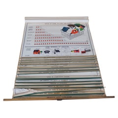
Vintage AJ Nystrom Citizenship for Democracy Communist Pull Down Chart Map
View Similar Items


Want more images or videos?
Request additional images or videos from the seller
1 of 12
Vintage AJ Nystrom Citizenship for Democracy Communist Pull Down Chart Map
About the Item
- Creator:A.J. Nystrom & Co (Manufacturer)
- Dimensions:Height: 5 in (12.7 cm)Width: 5 in (12.7 cm)Depth: 59 in (149.86 cm)
- Style:American Classical (In the Style Of)
- Materials and Techniques:Hardwood,Paper
- Period:
- Date of Manufacture:Mid-20th Century
- Condition:Wear consistent with age and use. Fair condition, fading, creasing, foxing / soiling and tears, mechanism no longer rolls properly, some must from storage.
- Seller Location:Dayton, OH
- Reference Number:Seller: 308091stDibs: LU5343224917052

About the Seller
4.9
Platinum Seller
These expertly vetted sellers are 1stDibs' most experienced sellers and are rated highest by our customers.
Established in 2010
1stDibs seller since 2020
1,109 sales on 1stDibs
More From This SellerView All
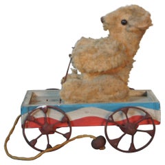
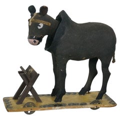
- Antique Articulating Teddy Bear Driving Wagon Platform Pull Toy AmericanaLocated in Dayton, OHAntique wheeled platform articulating pull toy featuring a teddy bear stuffed animal seated in a red white and blue wagon with arms that move up and down a...Category
Early 20th Century American Classical Toys
MaterialsMohair, Hardwood
- Vintage Oversized New York City Lower Manhattan 1840s Map PrintLocated in Dayton, OHVintage late 20th century reproduction print of New York City featuring lower Manhattan in 1840.Category
Late 20th Century Victorian Maps
MaterialsPaper
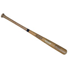
- Vintage Adirondak 302 Ken Landreaux 1980 All Star Game Commemorative BatLocated in Dayton, OHVintage Adirondak Pro Ring number 302, Ken Landreaux Big Stick Flame Treated wooden baseball bat with brass plaque “To Commemorate the 51st All Star Game Dodger Stadium Los Angeles, ...Category
Vintage 1980s American American Classical Arms, Armor and Weapons
MaterialsWood
- Antique Chicago Illinois National Map Commercial Rollup Classroom Census Map 47"Located in Dayton, OHAntique early to mid 20th century double sided hanging map titled the New Commercial and Census Map of Illinois, Edition 1073. Verso shows the National Map of Chicago and Suburbs - O...Category
Early 20th Century North American Maps
MaterialsPaper
- Antique German Paper Mache Bobble Head Mule Donkey Pull Cart ToyLocated in Dayton, OHRare antique German paper mache composition bobble head mule / donkey / horse pull toy figure standing with a small feed manger on a platform rollin...Category
Early 20th Century Folk Art Toys
MaterialsHardwood, Paper
- Antique 1630 Colored Belgium Map Flandria Gallica Flanders Henricus HondiusLocated in Dayton, OH"Antique hand colored map of Flanders, Belgium, circa 1630, engraved by Henricus Hondius. “Henricus Hondius II (1597 – 16 August 1651) was a Dutch eng...Category
Antique Early 17th Century Renaissance Maps
MaterialsPaper


You May Also Like
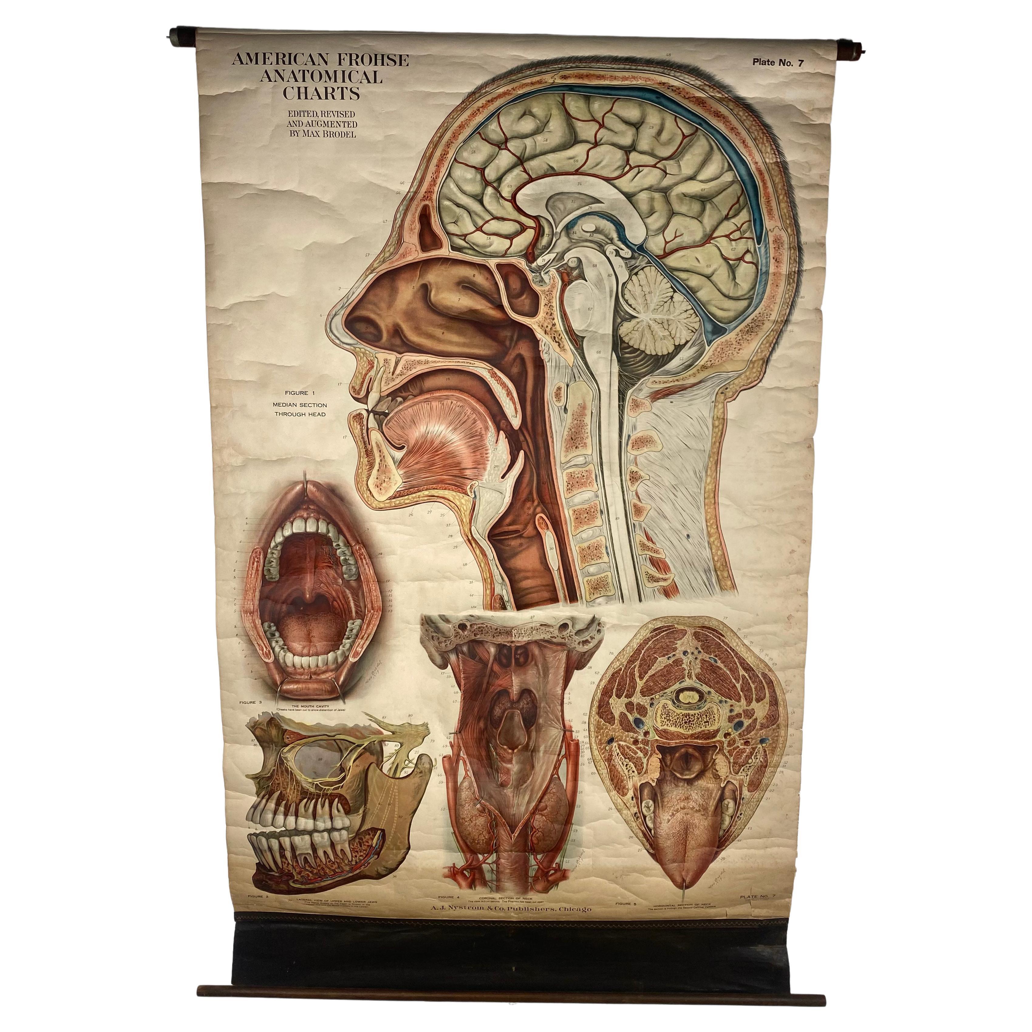
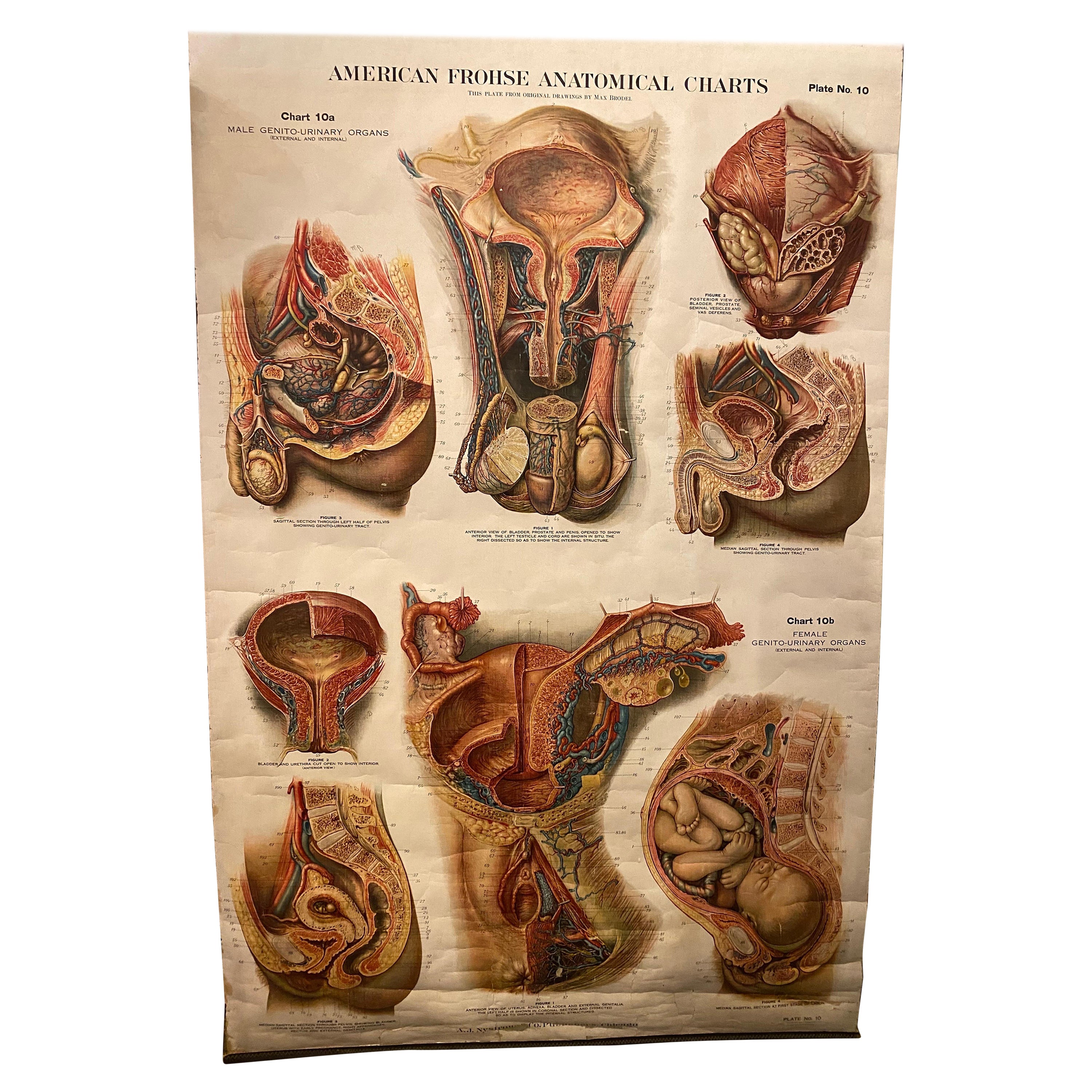
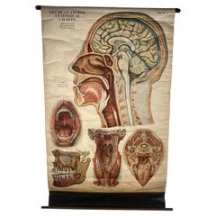
- 1918 American Frohse Anatomical Chart, A. J. Nystrom, Max Brodel IllustratorBy Max Brödel, A.J. Nystrom & CoLocated in Buffalo, NYAntique American Frohse Anatomical pull down chart, by A. J. Nystrom, ,revised and augmented by Max Brodel illustrator... Amazing color, patina, age appropriate wear. dated 1918.. Max (Paul Heinrich) Brödel 1870-1941 Brödel, an illustrator and the first director of the Art as Applied to Medicine program at Johns Hopkins...Category
Vintage 1910s American Steampunk Prints
MaterialsWood, Paper
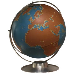
- Vintage World Globe by AJ NystromBy A.J. Nystrom & CoLocated in New York, NYA vintage large school globe by A.J. Nystom Co. USA, circa 1950. Features delineated brown continents, along with oceans, latitude and longitude numbe...Category
Vintage 1950s American Mid-Century Modern Globes
MaterialsMetal
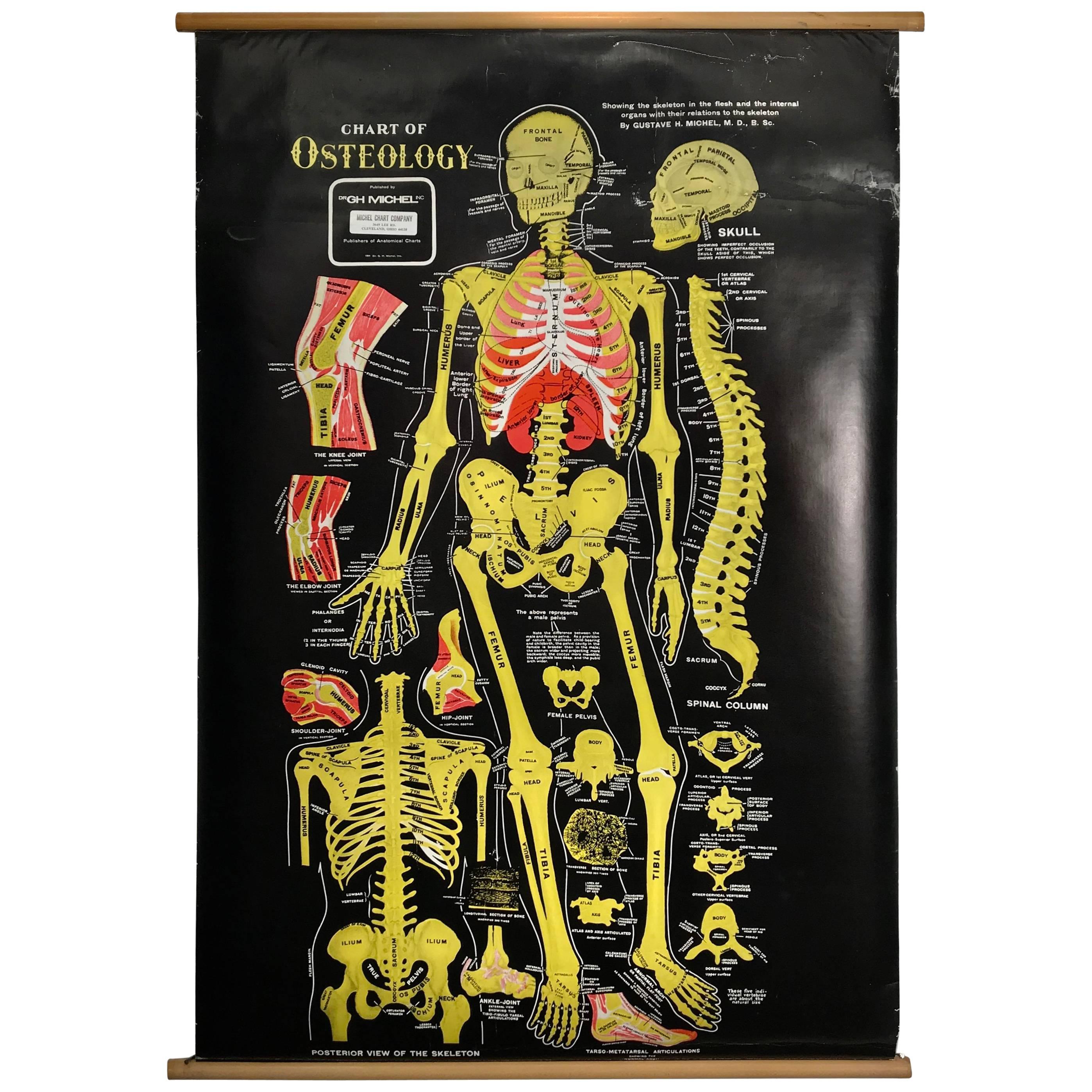
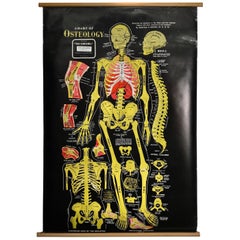
- Vintage Anatomical Pull Down Chart 'Osteology, GH Michel CompanyBy G.H. Michel CompanyLocated in Buffalo, NYVintage Anatomical Pull Down Chart 'OSTEOLOGY ,GH Michel Company,Black background,amazing color contrast.Beautifully screened printed,linen backed.S...Category
Vintage 1960s American Mid-Century Modern Posters
MaterialsLinen, Paper
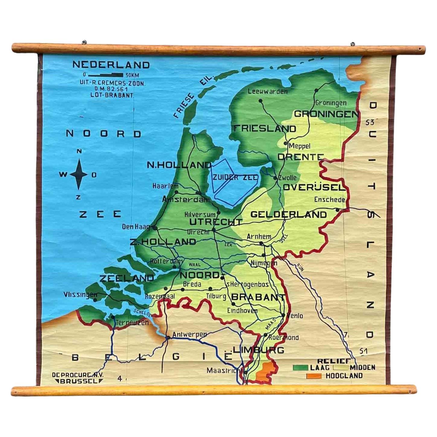
- School Chart or Pull Down Map of Geography of the Netherlands, 1950sLocated in Hemiksem, VANA beautiful old school map of the Netherlands, painted on linen. The map shows the 3 different reliefs (low, middle, high) of the Netherlands. The beau...Category
Vintage 1950s Belgian Mid-Century Modern Maps
MaterialsLinen, Paint
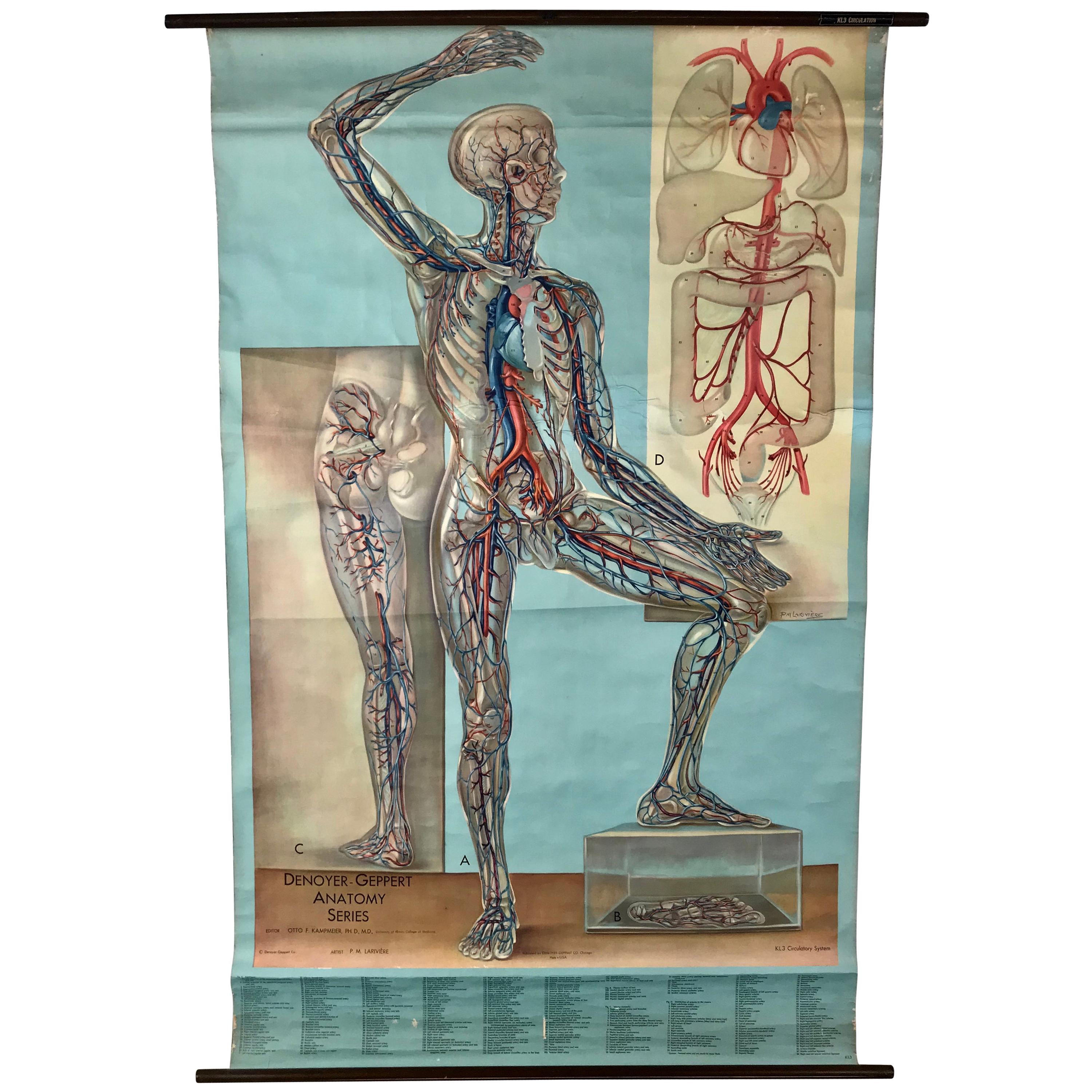
- 1938 Pull Down Anatomy Chart, Denoyer-Geppert, Artist P.M. LariviereBy Denoyer-GeppertLocated in Buffalo, NY1938 pull down anatomy chart, Denoyer-Geppert. Artist P.M. Lariviere. KL3 circulatory system. Stunning image, screenprint on linen.Category
Vintage 1930s American Industrial Scientific Instruments
MaterialsLinen
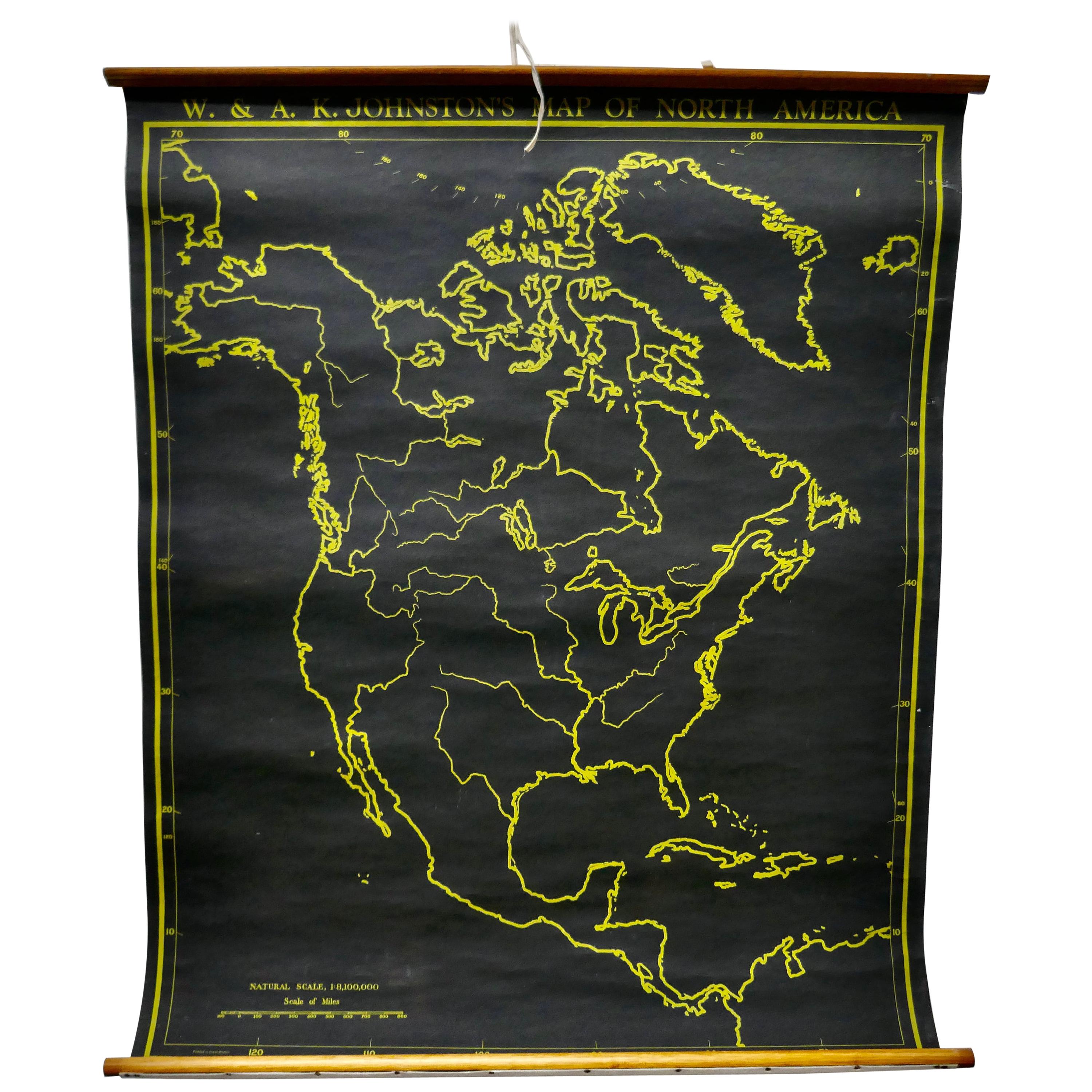
- University Chart “Black Map of North AmericaLocated in Chillerton, Isle of WightUniversity Chart “Black Map of North America W&A K Johnston’s Charts of Physical Maps By G W Bacon, This is a Black Physical map of North A...Category
Early 20th Century Industrial Maps
MaterialsLinen


Recently Viewed
View AllMore Ways To Browse
Old Maps Of World
16th Century Dutch
Orient Antique
Used House Windows
World Map Vintage Map
World Map Vintage Maps
Antique Maps Of Islands
18th Russian
Antique Maps Of Holland
B C Antiques
Antique Map America
Antique American Maps
Antique American Map
America Antique Map
Antique Map Of America
Antique Maps Of America
Antique Furniture In Edinburgh
Victorian Tear