Items Similar to Vintage Swedish Topographic School Map of European Alps, Made in Sweden 1922

Want more images or videos?
Request additional images or videos from the seller
1 of 21
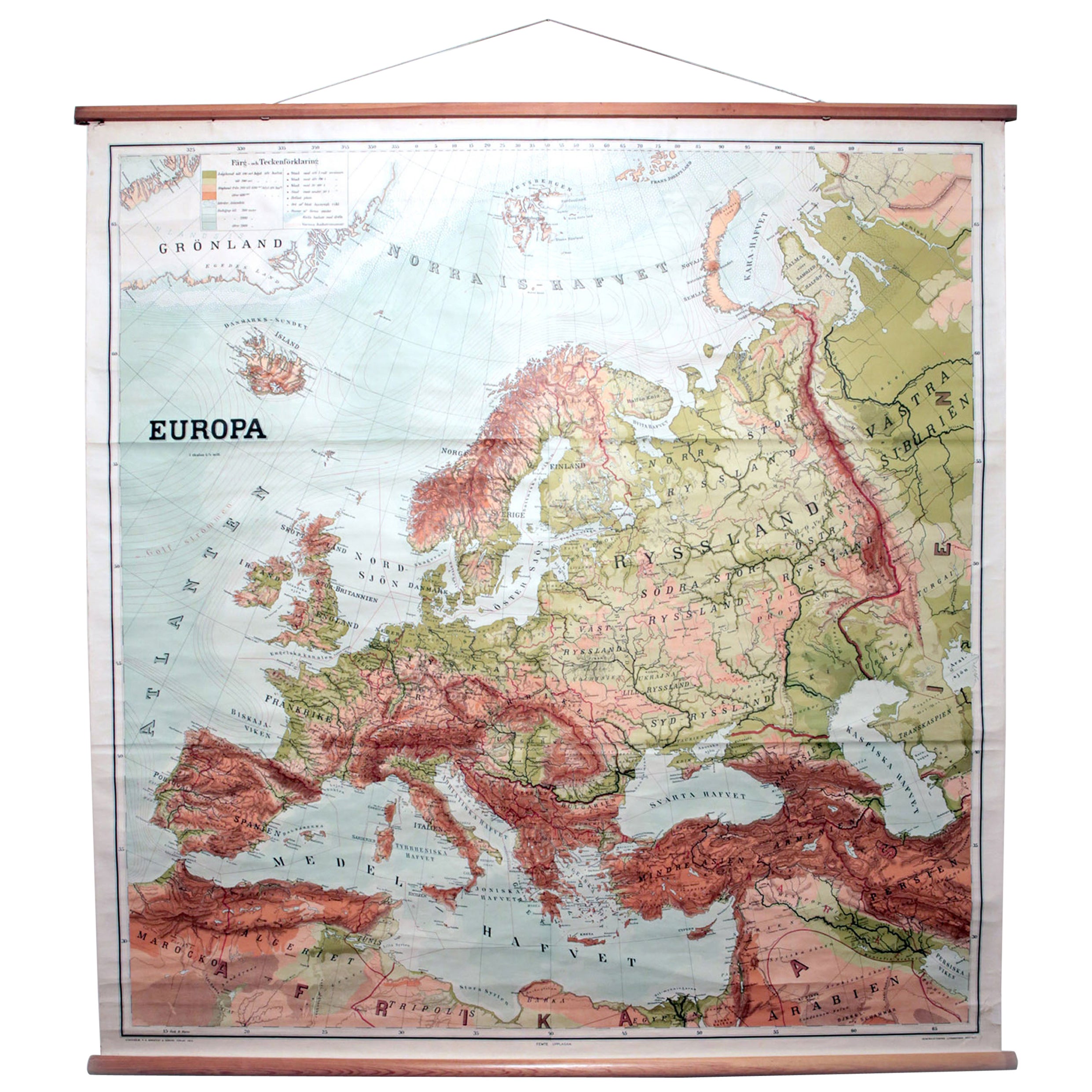
Vintage Swedish Topographic School Map of European Alps, Made in Sweden 1922
About the Item
Vintage Swedish Topographic School map of European Alps, Made in Sweden 1922
This vintage Swedish school map is so unique and a great example of why these are so collectible.
Wooden poles at the top and bottom of this linen fabric with printed paper attached.
Comes with expected use wear and age one would expect from a piece with usage and considering the materials.
- Dimensions:Height: 46 in (116.84 cm)Width: 71 in (180.34 cm)Depth: 1 in (2.54 cm)
- Materials and Techniques:
- Place of Origin:
- Period:
- Date of Manufacture:1922
- Condition:Wear consistent with age and use.
- Seller Location:Los Angeles, CA
- Reference Number:1stDibs: LU5468228269292
About the Seller
5.0
Platinum Seller
These expertly vetted sellers are 1stDibs' most experienced sellers and are rated highest by our customers.
Established in 2017
1stDibs seller since 2020
88 sales on 1stDibs
Typical response time: 1 hour
- ShippingRetrieving quote...Ships From: Los Angeles, CA
- Return PolicyA return for this item may be initiated within 3 days of delivery.
More From This SellerView All
- Vintage Swedish School Map of Europe, Large, Made in Sweden, 1905Located in Los Angeles, CAVintage Swedish School Map of Europe - LARGE - Made in Sweden, 1905 This vintage Swedish school map is so unique and a great example of why these are so collectible. Wooden pol...Category
Antique Early 1900s Swedish Maps
MaterialsLinen, Wood, Paper
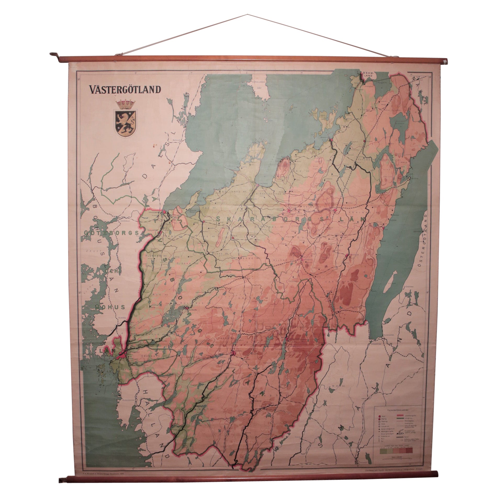
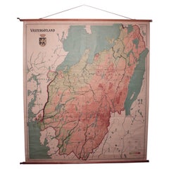
- Vintage Swedish School Map of Vastergötland, Made in Sweden 1920Located in Los Angeles, CAVintage Swedish School Map of Vastergötland, Made in Sweden 1920 Västergötland also known as West Gothland or the Latinized version Westrogothia in older literature, is one of the...Category
Vintage 1920s Swedish Maps
MaterialsLinen, Wood, Paper
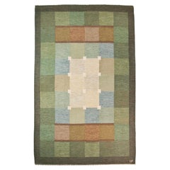
- Large Vintage Swedish Flat-Weave Carpet, Sweden, 1960'sLocated in Los Angeles, CALarge vintage Swedish flat-weave carpet - Sweden 1960's Measures: 121.5" x 78.7".Category
Mid-20th Century Swedish Scandinavian Modern Russian and Scandinavian Rugs
MaterialsWool
- Vintage Double Sided Swedish Flat-Weave Carpet, Sweden, 1960'sLocated in Los Angeles, CAVintage double sided Swedish flat-weave carpet, Sweden, 1960's Measures: 146 x 192 cm.Category
Mid-20th Century Swedish Scandinavian Modern Russian and Scandinavian Rugs
MaterialsWool
- Ulla Parkdal, Swedish Flate Weave Rug, Sweden 1960'sBy Ulla ParkdalLocated in Los Angeles, CAUlla Parkdal - Swedish flate weave rug - Sweden 1960's - 94" x 62.5" A light melange checkered field. Wide polychrome checkered borders.Category
Mid-20th Century Swedish Scandinavian Modern Russian and Scandinavian Rugs
MaterialsWool
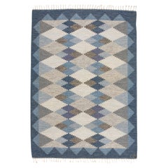
- Ulla Parkdal Blue Grey Swedish Flat Weave Hand Woven Rug - Sweden, Swedish 1960Located in Los Angeles, CAUlla Parkdal Blue Grey Swedish Flat Weave Hand Woven Rug - Sweden, Swedish 1960s This handwoven rug has a classic and timeless design. Bordered with...Category
Mid-20th Century European Mid-Century Modern Russian and Scandinavian Rugs
MaterialsWool

You May Also Like
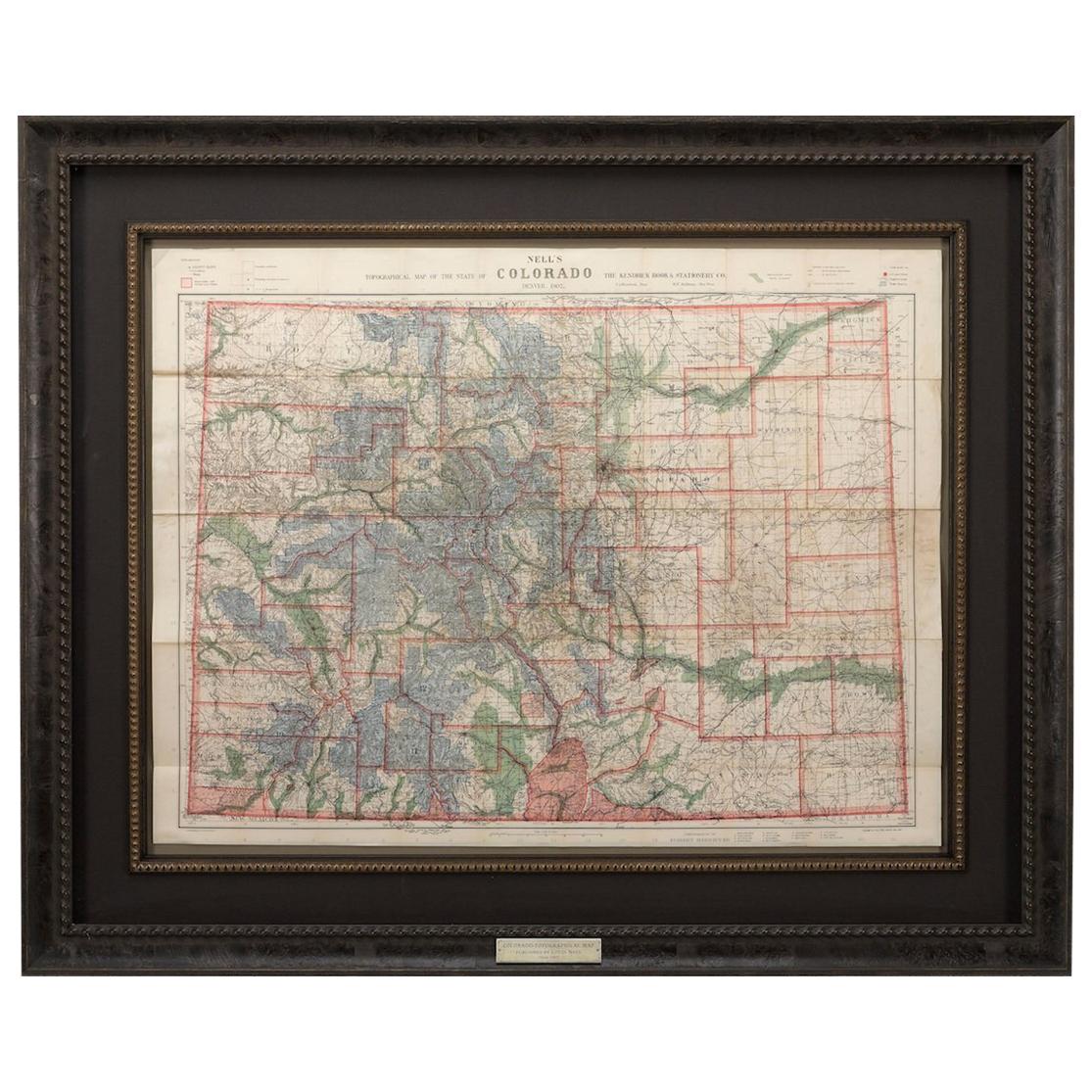
- 1907 Map of Colorado, Antique Topographical Map, by Louis NellLocated in Colorado Springs, COThis highly detailed pocket map is a topographical map of the state of Colorado by Louis Nell from 1907. The map "has been complied from all availabl...Category
Antique Early 1900s American Maps
MaterialsPaper
- Orense in Depth: A 1902 Topographical Map of Galicia's Mountainous ProvinceLocated in Langweer, NLThe map is a detailed cartographic representation of the province of Orense (Ourense in Galician), located in the northwest of Spain, as it was in 1902. Here's a brief description an...Category
Antique Early 1900s Maps
MaterialsPaper
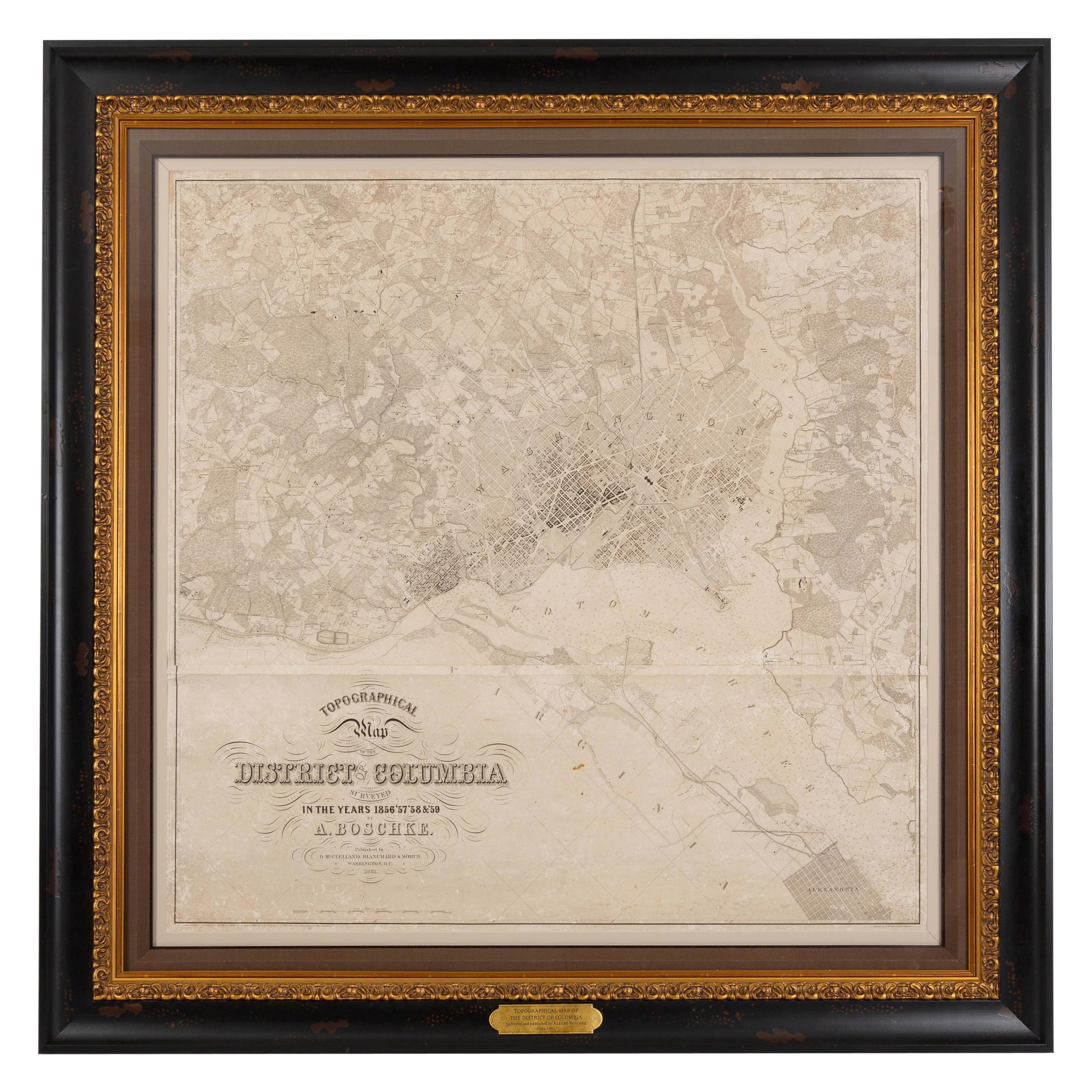
- 1861 Topographical Map of the District of Columbia, by Boschke, Antique MapLocated in Colorado Springs, COPresented is an original map of Albert Boschke's extremely sought-after "Topographical Map of the District of Columbia Surveyed in the Years 1856 ...Category
Antique 1860s American Historical Memorabilia
MaterialsPaper
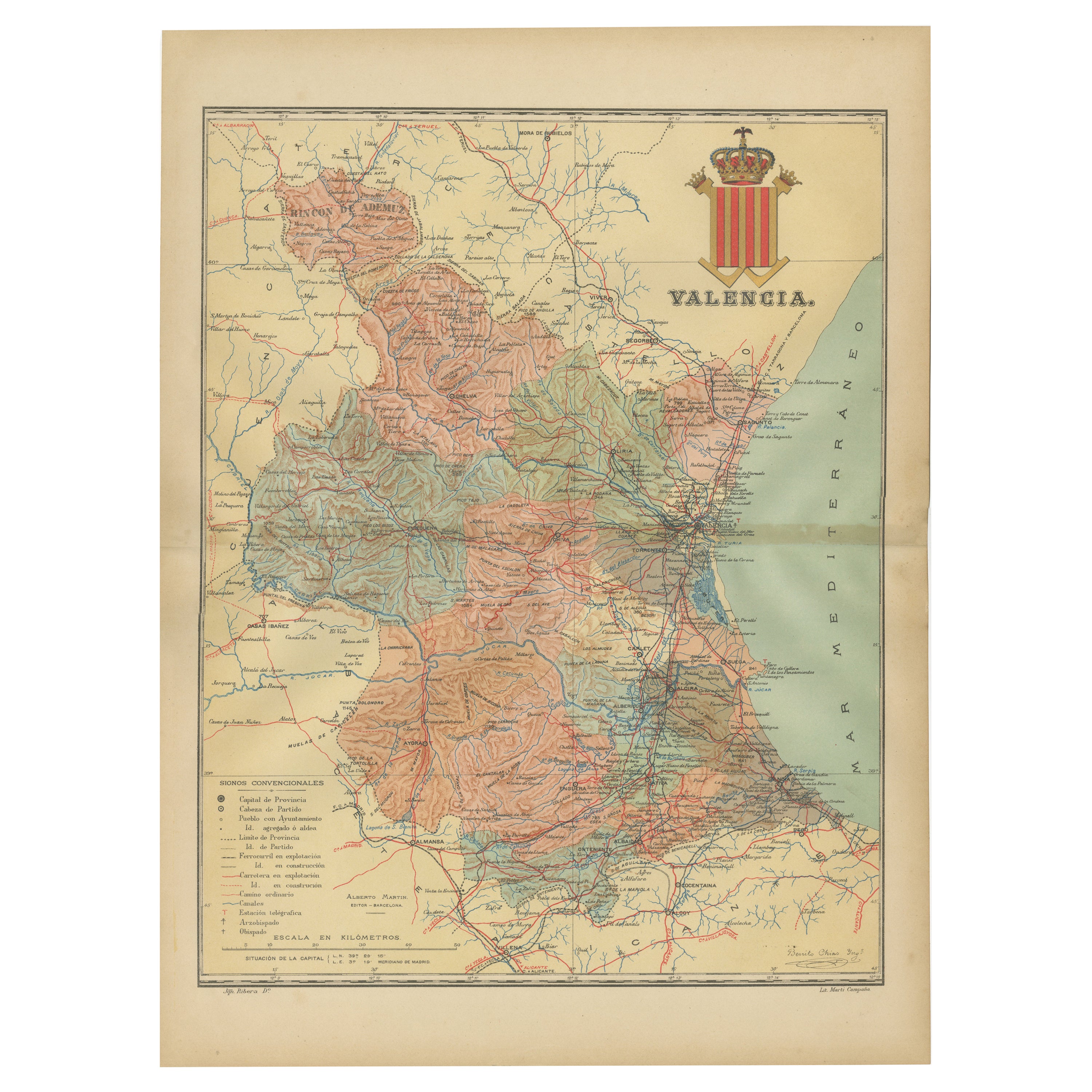
- Topographical and Infrastructure Map of the Province of Valencia, 1901Located in Langweer, NLA historical map of the province of Valencia, dated 1901. The map includes intricate details such as topographical features, with mountain ranges and river systems prominently marked...Category
Antique Early 1900s Maps
MaterialsPaper
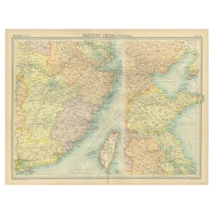
- Antique Political Map of Eastern China, 1922Located in Langweer, NLAntique map of China titled 'Eastern China - Political Map'. Old map of eastern China depicting Kiangsi, Chekiang, Fukien, Kwangtung, Taiwan (Formosa) an...Category
20th Century Maps
MaterialsPaper
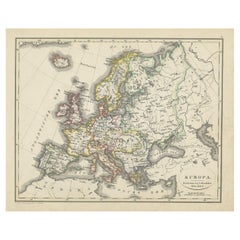
- Antique Map of Europe from an Old Dutch School-Atlas, 1852Located in Langweer, NLAntique map titled 'Europa'. Map of Europe. This map originates from 'School-Atlas van alle deelen der Aarde' by Otto Petri. Artists and Engravers: Published by A. Baedeker (Otto...Category
Antique 19th Century Maps
MaterialsPaper


Recently Viewed
View AllMore Ways To Browse
Vintage Swedish
Vintage Sweden
1922 Furniture
Vintage School Furniture
Vintage Sweden Fabric
Alps Furniture
Vintage Swedish Fabric
Map Of Sweden
Map Sweden
Map Alps
Map Of Alps
Large Antique Compass
Antique New England Maps
Antique Map New England
Antique Map Of New England
Antique Maps New England
Antique Greek Map
Antique Greece Map