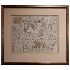
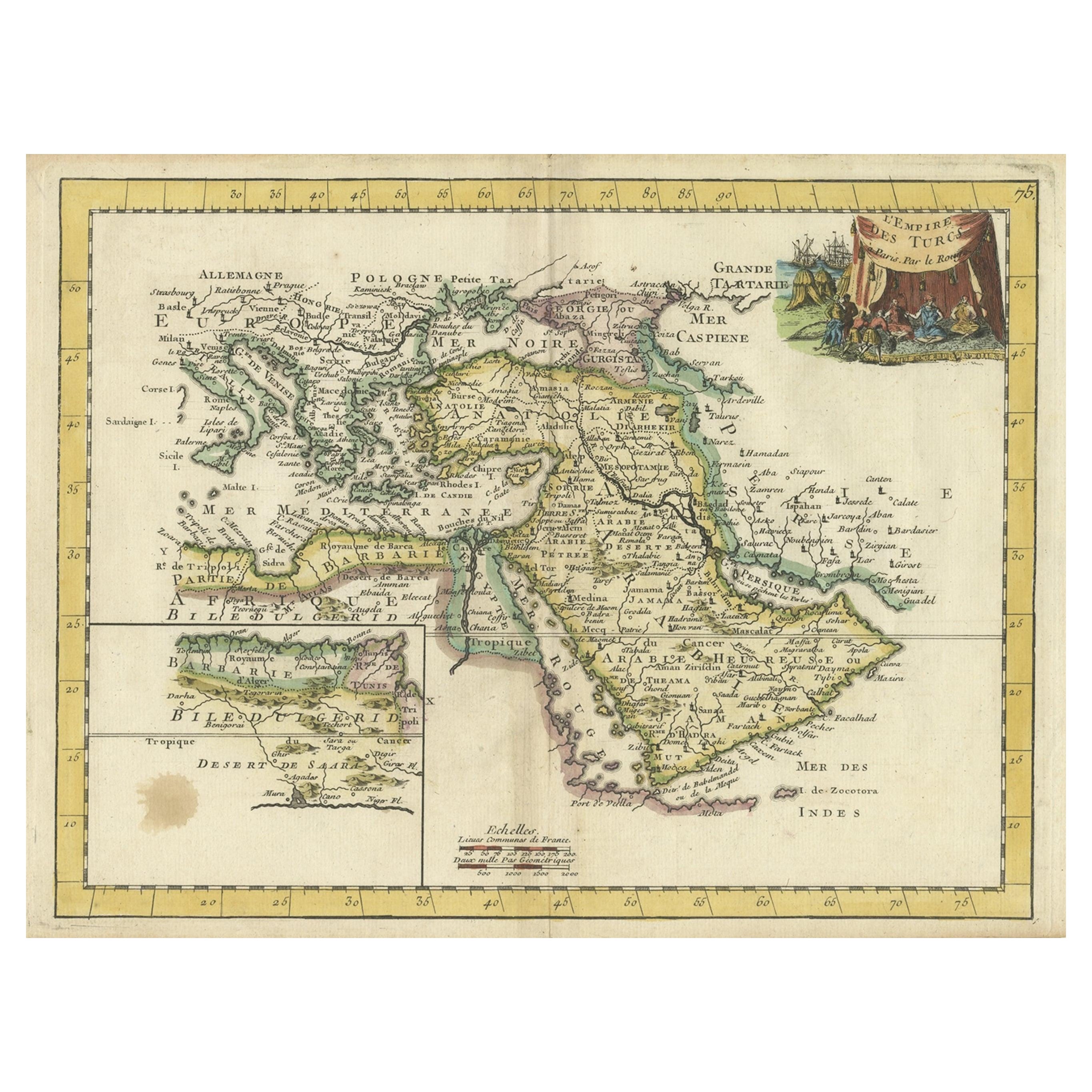
Antique Map of the Turkish Empire by Tirion, 1763
View Similar Items


Want more images or videos?
Request additional images or videos from the seller
1 of 5
Antique Map of the Turkish Empire by Tirion, 1763
About the Item
- Dimensions:Height: 18.12 in (46 cm)Width: 20.48 in (52 cm)Depth: 0.6 in (1.5 cm)
- Materials and Techniques:
- Period:
- Date of Manufacture:1763
- Condition:The map shows general age-related toning and original/contemporary hand coloring. Passe-partout slightly toned. Frame included, lightly used. Please study images carefully. Seller Loc.
- Seller Location:Langweer, NL
- Reference Number:Seller: BG-122641stDibs: LU3054320842802
About the Seller
5.0
Platinum Seller
These expertly vetted sellers are 1stDibs' most experienced sellers and are rated highest by our customers.
Established in 2009
1stDibs seller since 2017
1,909 sales on 1stDibs
More From This SellerView All
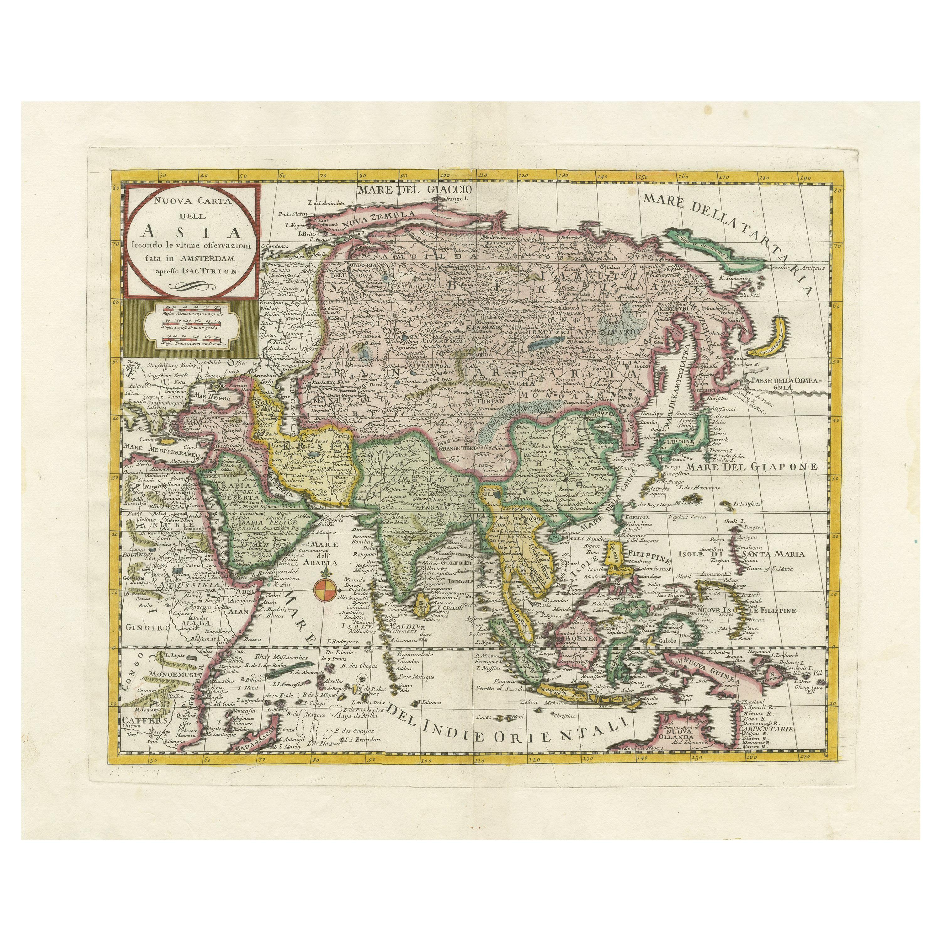
- Antique Map of the Turkish Empire by Tirion 'c.1760'Located in Langweer, NLAntique map titled 'Nieuwe Kaart van het Turksche Ryk gelegen in Europa, Asia en Africa'. Original antique map of the Turkish Empire. The map is centered on the Mediterranean Sea but...Category
Antique Mid-18th Century Maps
MaterialsPaper
 $1,217 Sale Price20% Off
 - Antique Map of the City of Paris by Tirion '1763'Located in Langweer, NLAntique map titled 'Nieuwe Kaart der platte Grond van de Stad Parys (..)'. Beautiful city plan of Paris, France. This map originates from 'Nieuwe en Beknopte Hand-Atlas, bestaande in...Category
Antique Mid-18th Century Maps
MaterialsPaper
 $1,043 Sale Price20% Off
 - Antique Map of the Sunda Islands by Tirion 'c.1760'Located in Langweer, NLAntique map titled 'Nuova Carta delle Isole di Sunda come Borneo, Sumatra e Iava Grande'. Detailed map of the Sunda Islands, Southeast Asia, extending from the tip of Cambodia to Jav...Category
Antique Mid-18th Century Maps
MaterialsPaper
 $847 Sale Price20% Off
 - Antique Miniature Map of the Turkish Empire by Bertius '1618'Located in Langweer, NLAntique miniature map titled 'Turcicum Imperium'. Rare miniature map of the Turkish Empire. This map originates from 'Tabularum Geographicarum Contractarum Libri septem (..)' by P. B...Category
Antique Early 17th Century Maps
MaterialsPaper
- Antique Map of London by Tirion '1754'Located in Langweer, NLAntique map titled 'Kaart van Londen enz. en van het naby gelegen land ruim een Uur gaans rondsom dezelve Stad; getrokken uit de groote gemeeten Kaart van Hr. John Rocque'. In the se...Category
Antique Mid-18th Century Maps
MaterialsPaper
 $695 Sale Price20% Off
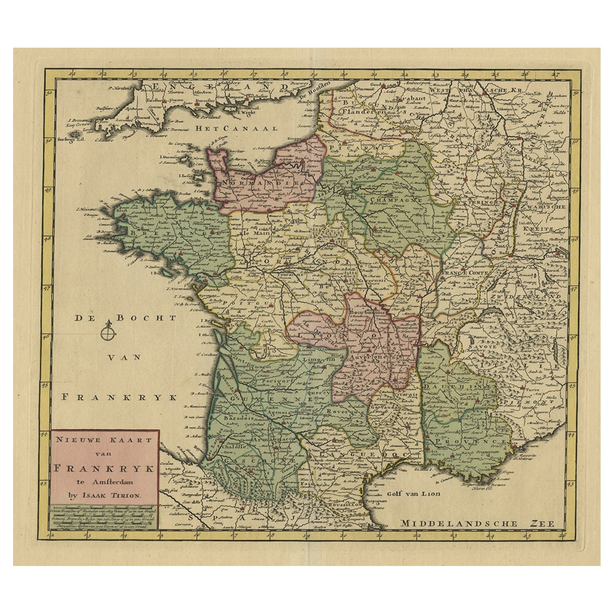
 - Antique Map of France by Tirion, c.1740Located in Langweer, NLAntique map titled 'Nieuwe Kaart van Frankryk.' - Attractive detailed map showing France. Title in block-style cartouche with a simple compass rose. Source unknown, to be determined....Category
Antique 18th Century Maps
MaterialsPaper

You May Also Like
- New Map of North America from the Latest Discoveries, 1763Located in Philadelphia, PAA fine antique 18th century map of the North American seaboard. Entitled "A New Map of North America from the Latest Discoveries 1763". By the Cartographer/Engraver - John Spil...Category
Antique Mid-18th Century English Georgian Maps
MaterialsPaper
- England, Scotland & Ireland: A Hand Colored Map of Great Britain by TirionBy Isaak TirionLocated in Alamo, CAThis is a hand-colored double page copperplate map of Great Britain entitled "Nieuwe Kaart van de Eilanden van Groot Brittannien Behelzende de Kon...Category
Antique Mid-18th Century Dutch Maps
MaterialsPaper
- Original Antique Map of The World by Thomas Clerk, 1817Located in St Annes, LancashireGreat map of The Eastern and Western Hemispheres On 2 sheets Copper-plate engraving Drawn and engraved by Thomas Clerk, Edinburgh. Published by Mackenzie And Dent, 1817 ...Category
Antique 1810s English Maps
MaterialsPaper
- Original Antique Map of The Netherlands, Engraved by Barlow, Dated 1807Located in St Annes, LancashireGreat map of Netherlands Copper-plate engraving by Barlow Published by Brightly & Kinnersly, Bungay, Suffolk. Dated 1807 Unframed.Category
Antique Early 1800s English Maps
MaterialsPaper
- Map of the Republic of GenoaLocated in New York, NYFramed antique hand-coloured map of the Republic of Genoa including the duchies of Mantua, Modena, and Parma. Europe, late 18th century. Dimension: 25...Category
Antique Late 18th Century European Maps
- Antique Map of Italy by Andriveau-Goujon, 1843By Andriveau-GoujonLocated in New York, NYAntique Map of Italy by Andriveau-Goujon, 1843. Map of Italy in two parts by Andriveau-Goujon for the Library of Prince Carini at Palazzo Carini i...Category
Antique 1840s French Maps
MaterialsLinen, Paper
 $3,350 / set


