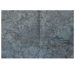
Large Original Antique Map of London, 1861
View Similar Items


Want more images or videos?
Request additional images or videos from the seller
1 of 7
Large Original Antique Map of London, 1861
About the Item
- Dimensions:Height: 37 in (93.98 cm)Width: 50.5 in (128.27 cm)Depth: 0.2 in (5.08 mm)
- Style:Victorian (Of the Period)
- Materials and Techniques:Paper,Other
- Place of Origin:
- Period:
- Date of Manufacture:1861
- Condition:Wear consistent with age and use.
- Seller Location:St Annes, GB
- Reference Number:Seller: 10441stDibs: LU183635369083
About the Seller
4.9
Platinum Seller
These expertly vetted sellers are 1stDibs' most experienced sellers and are rated highest by our customers.
1stDibs seller since 2016
2,531 sales on 1stDibs
Associations
International Confederation of Art and Antique Dealers' Associations
More From This SellerView All
- Original Antique Map of Indonesia, 1861Located in St Annes, LancashireGreat map of Indonesia Drawn and engraved by Edward Weller Original color Published in The Weekly Dispatch Atlas, 1861 Repairs to minor e...Category
Antique 1860s English Victorian Maps
MaterialsPaper

- Large Original Antique Map of Australia, Fullarton, C.1870Located in St Annes, LancashireGreat map of Australia From the celebrated Royal Illustrated Atlas Engraved by Swanston after the drawing by Augustus Petermann Lithograph. Original color. Published by ...Category
Antique 1870s Scottish Maps
MaterialsPaper
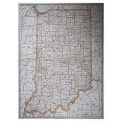
- Large Original Antique Map of Indiana, USA, 1894By Rand McNally & Co.Located in St Annes, LancashireFabulous map of Indiana. Original color. By Rand, McNally & Co. Published, 1894. Unframed. Free shipping.Category
Antique 1890s American Maps
MaterialsPaper
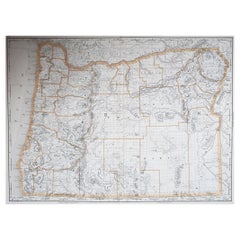
- Large Original Antique Map of Oregon, USA, 1894By Rand McNally & Co.Located in St Annes, LancashireFabulous map of Oregon. Original color. By Rand, McNally & Co. Published, 1894. Unframed. Free shipping.Category
Antique 1890s American Maps
MaterialsPaper
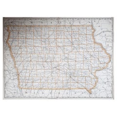
- Large Original Antique Map of Iowa, USA, 1894By Rand McNally & Co.Located in St Annes, LancashireFabulous map of Iowa. Original color. By Rand, McNally & Co. Published, 1894. Unframed. Free shipping.Category
Antique 1890s American Maps
MaterialsPaper
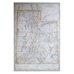
- Large Original Antique Map of Utah, USA, 1894By Rand McNally & Co.Located in St Annes, LancashireFabulous map of Utah Original color By Rand, McNally & Co. Published, 1894 Unframed Free shipping.Category
Antique 1890s American Maps
MaterialsPaper

You May Also Like
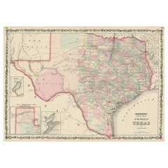
- Large Antique Map of the State of Texas, 1861Located in Langweer, NLAntique map titled 'Johnson's New Map of the State of Texas' Large map of Texas, shows railroads, wagon roads, the U.S. Mail Route, rivers, ports, ...Category
Antique Mid-19th Century Maps
MaterialsPaper
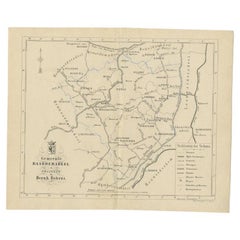
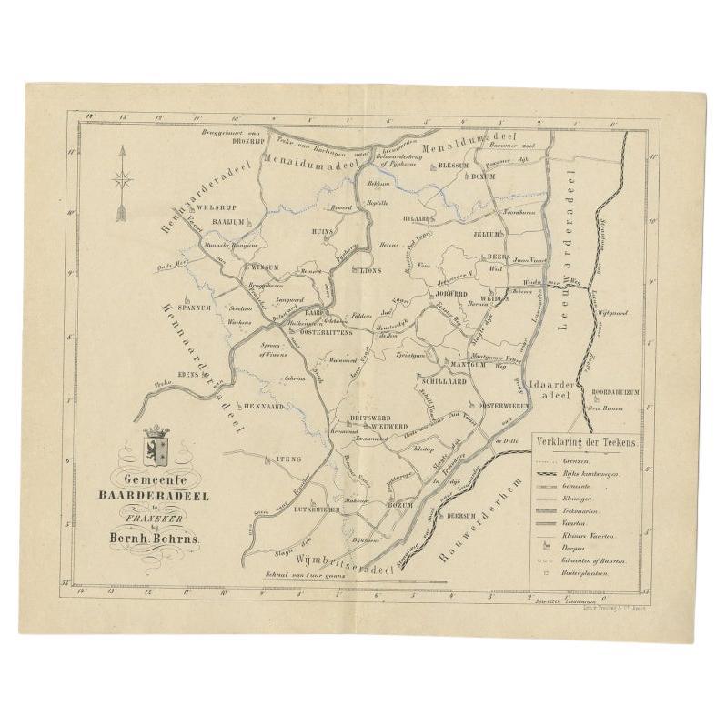
- Antique Map of the Dutch Township Baarderadeel, 1861Located in Langweer, NLAntique map titled 'Gemeente Baarderadeel'. Old map depicting the Baarderadeel township including cities and villages like Baard, Hilaard, Jorwerd, Oosterlittens and Oosterwierum. Th...Category
Antique 19th Century Maps
MaterialsPaper
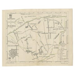
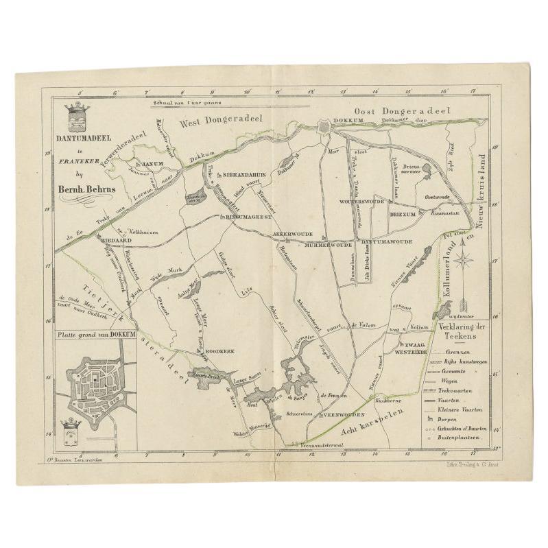
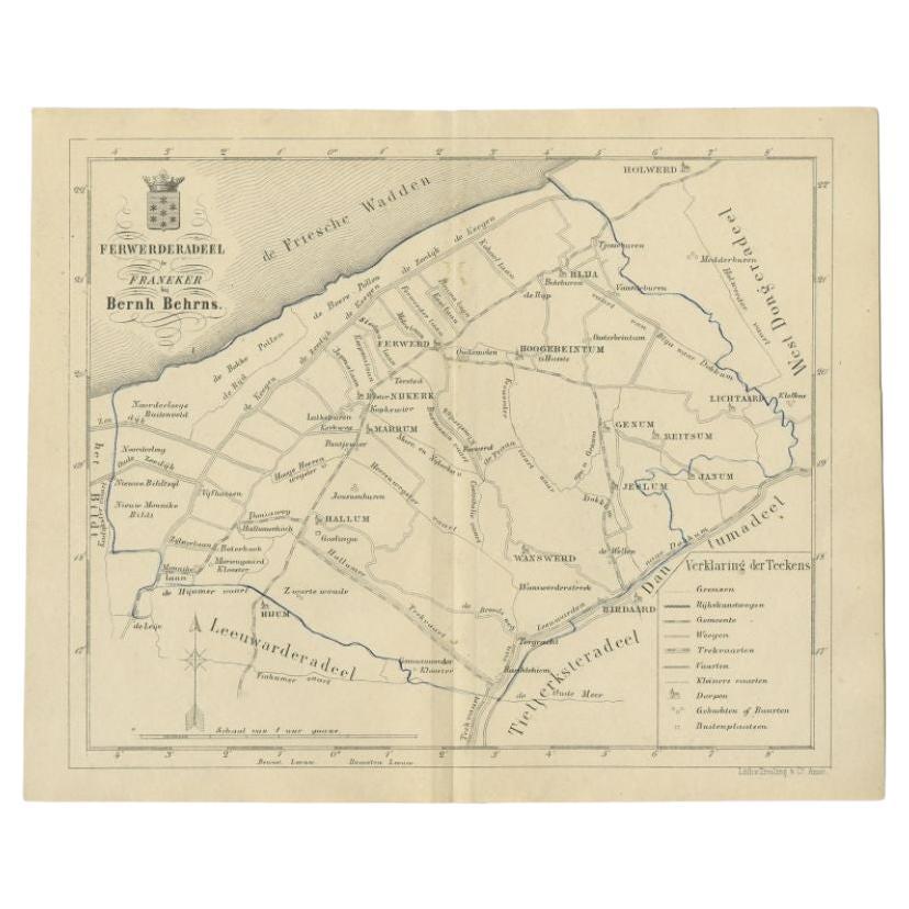
- Antique Map of the Dutch Dantumadeel Township, 1861Located in Langweer, NLAntique map titled 'Gemeente Dantumadeel'. Old map depicting the Dantumadeel township including cities and villages like Birdaard, Roodkerk, Veenwouden, Dantumawoude and Dokkum. This...Category
Antique 19th Century Maps
MaterialsPaper
- Antique Map of The Dutch Township Rauwerderhem, 1861Located in Langweer, NLAntique map titled 'Gemeente Rauwerderhem'. Old map depicting the Rauwerderhem township including cities and villages like Deersum, Poppingawier, Rauwerd and Irnsum. This map orginat...Category
Antique 19th Century Maps
MaterialsPaper
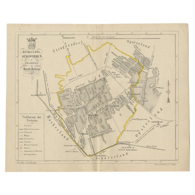
- Antique Map of the Dutch Township Aengwirden, 1861Located in Langweer, NLAntique map titled 'Gemeente Aengwirden'. Old map depicting the Aengwirden township including cities and villages like Tjalleberd, Luinjeberd, Terband and Gersloot. This map orginate...Category
Antique 19th Century Maps
MaterialsPaper
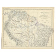
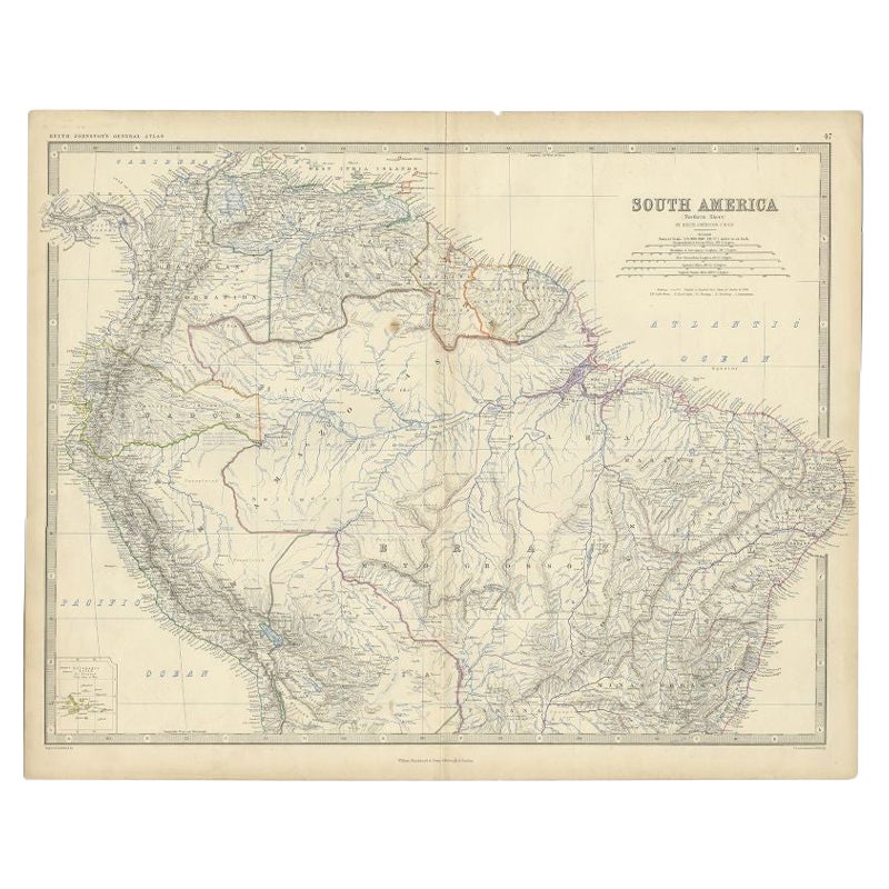
- Antique Map of South America by Johnston, 1861Located in Langweer, NLAntique map titled 'South America'. Old map of South America, with an inset map of the Galapagos Isles. This map originates from 'The Royal Atlas of Modern Geography, Exhibiting, i...Category
Antique 19th Century Maps
MaterialsPaper