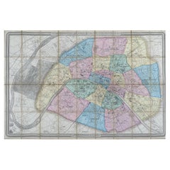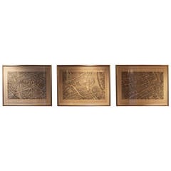
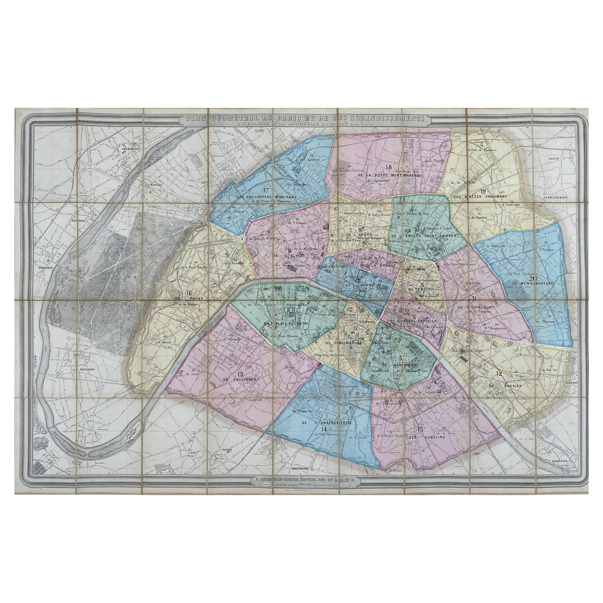
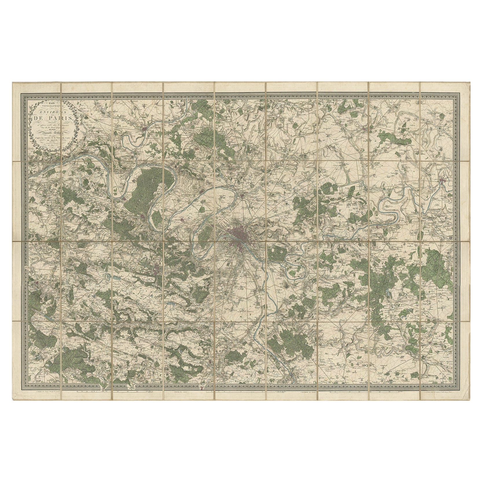
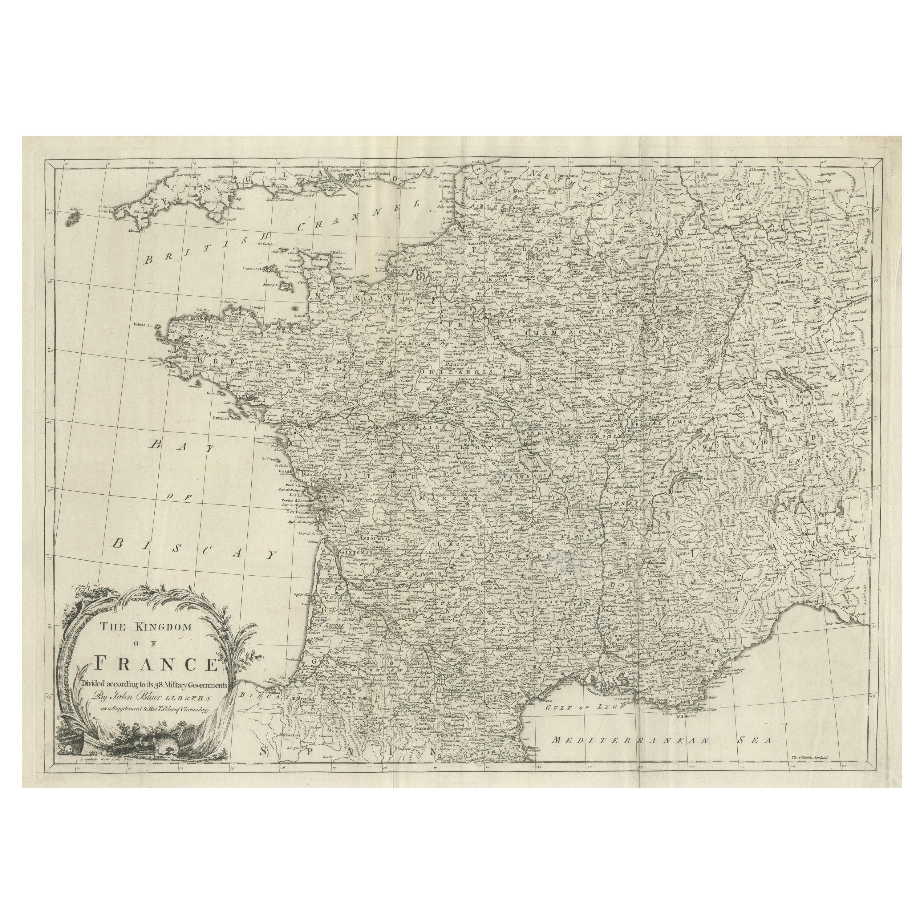
Set of Three Large Copperplate Engravings of Maps of Paris, France, 19th Century
View Similar Items


1 of 9
Set of Three Large Copperplate Engravings of Maps of Paris, France, 19th Century
About the Item
- Dimensions:Height: 29 in (73.66 cm)Width: 40 in (101.6 cm)Depth: 1.5 in (3.81 cm)
- Sold As:Set of 3
- Style:Neoclassical (In the Style Of)
- Materials and Techniques:
- Place of Origin:
- Period:
- Date of Manufacture:19th Century
- Condition:Wear consistent with age and use. Engravings show wear consistent with age and use.
- Seller Location:San Antonio, TX
- Reference Number:1stDibs: LU111222707402
You May Also Like
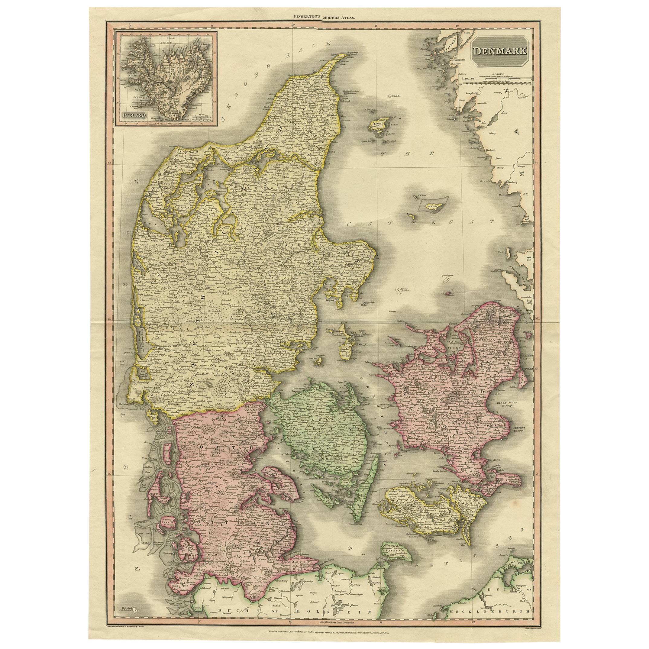
- 19th Century Large Original Antique Map of Denmark by J. Pinkerton, 1812By PinkertonLocated in Langweer, NLHighly detailed map of Denmark. One of the best large format English atlas maps of the period. Pinkerton's maps reflect the fine copperplate engraving work being done in the Britain...Category
Antique Early 19th Century Maps
MaterialsPaper
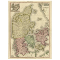 $324 Sale Price40% OffFree Shipping
 - Impressive Large Decorative Antique Map of Paris, France, 1859Located in Langweer, NLTitle: "Plan géométral de Paris et de ses agrandissements". Handcolored engraved plan by PIAT and P. ROUSSET, mounted in 36 sections on linen. Folded in original gilt and blin...Category
Antique 1850s Maps
MaterialsPaper
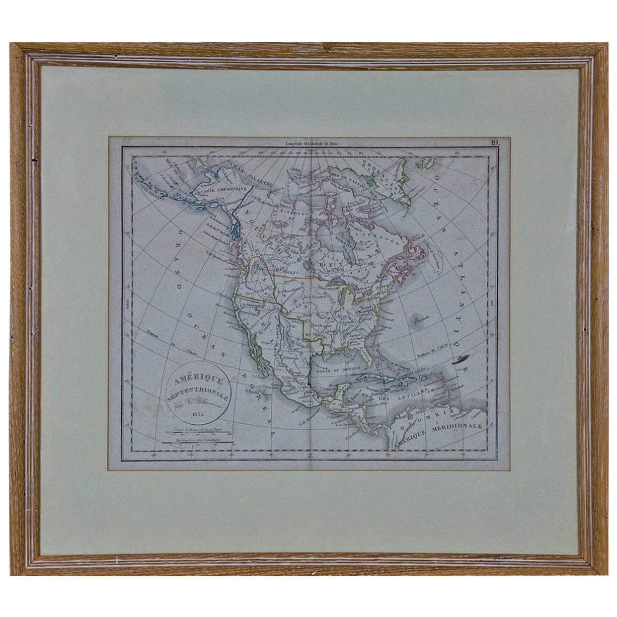
- America "Amérique Septentrionale": A 19th Century French Map by DelamarcheBy Maison Delamarche 1Located in Alamo, CAThis framed mid 19th century map of North America entitled "Amérique Septentrionale" by Felix Delamarche was published in Paris in 1854 by Quay de l'Horloge du Palais, avec les Carte...Category
Antique Mid-19th Century American Other Maps
MaterialsPaper
- Handcolored Copperplate Engraving Showing a Perspective View of a Chinese TempleLocated in Langweer, NLAntique print titled 'Vue d'un Temple Chinois'. View of a Chinese temple. This is an optical print, also called 'vue optique' or 'vue d'optique', which were made to be viewed through a Zograscope, or other devices of convex lens...Category
Antique Late 18th Century Prints
MaterialsPaper
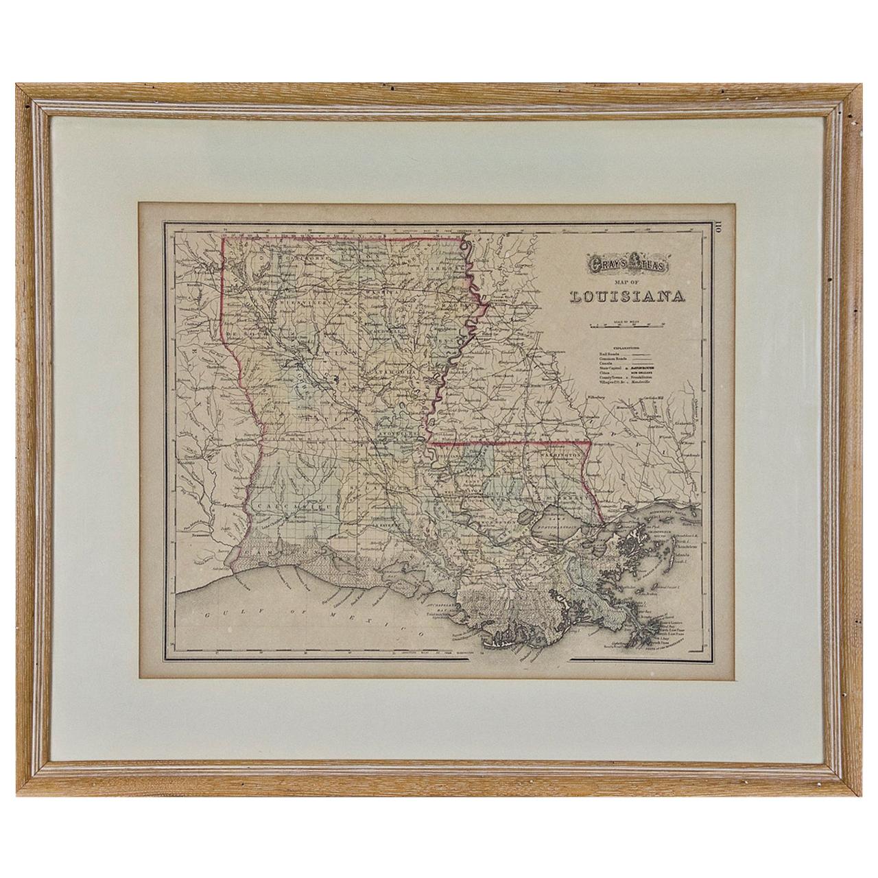
- Louisiana: A Framed 19th Century Map by O. W. GrayBy Gray and CoLocated in Alamo, CAThis framed 19th century map of the Louisiana territory was published in "Gray's Atlas of the United States with General Maps of the World, accompanied by Descriptions Geographical, Historical, Scientific and Statistica" published in 1873 in Philadelphia by O.W. Gray and Son and Stedman, Brown and Lyon. It is a highly detailed map of Louisiana...Category
Antique Mid-19th Century American Other Maps
MaterialsPaper
- Original Copperplate Engraved Detailed Map of South Africa, ca.1680Located in Langweer, NLAntique map titled 'Pays et Coste des Caffres Empires de Monomotapa (..)'. Detailed map of South Africa. Engraved by Antoine d'Winter for a Dutch edition of Sanson's pocket atlas...Category
Antique 1680s Maps
MaterialsPaper
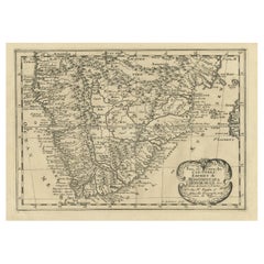 $314 Sale Price20% Off