Items Similar to Folly Bridge and Friar Bacon's Study, Oxford engraving from the Oxford Almanack
Want more images or videos?
Request additional images or videos from the seller
1 of 9
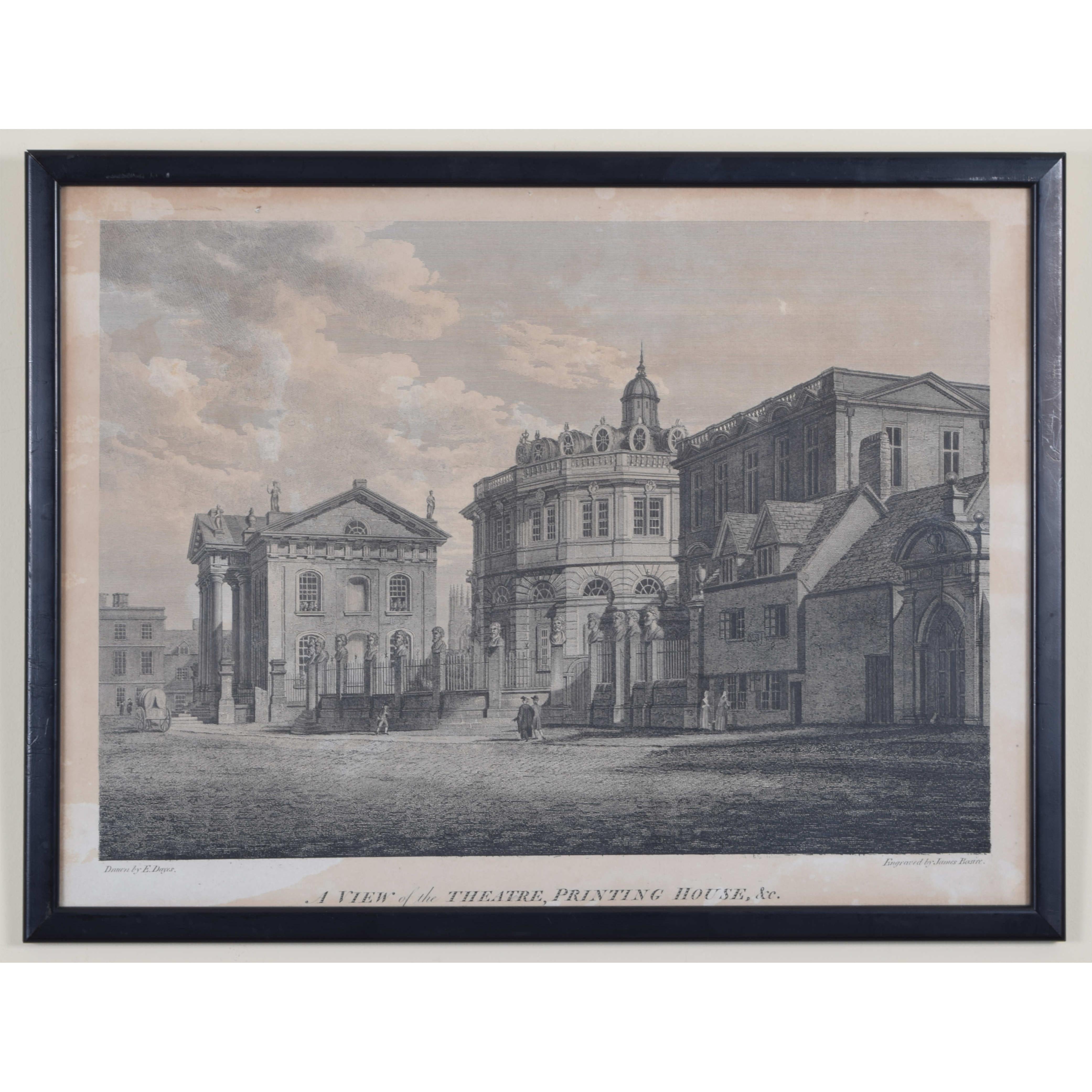
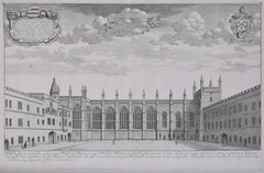
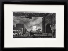
Folly Bridge and Friar Bacon's Study, Oxford engraving from the Oxford Almanack
About the Item
To see our other views of Oxford and Cambridge, scroll down to "More from this Seller" and below it click on "See all from this Seller" - or send us a message if you cannot find the view you want.
after Michael Angelo Rooker (1743/6 - 1801)
North West view of Friar Bacon's Study, and Folly Bridge
Engraving
30 x 45 cm
Friar Bacon's Study was built as a watchtower in the thirteenth century. The name is 'merely traditional, and not in any Record to be found', according to the 1773 text 'The Antient and Present State of the City of Oxford'; it is said to have been used by the Franciscan Friar Roger Bacon as an astronomical observatory. For hundreds of years after Friar Bacon's use of it, the tower was a notable landmark in Oxford, and Samuel Pepys visited it in 1668: 'So to Friar Bacon's study: I up and saw it, and gave the man a shilling. Oxford mighty fine place.' The Study was often considered a folly, and the bridge is now known as Folly Bridge.
Rooker painted the tower in 1780 - around the same time as the tower was demolished - and James Basire produced an engraving of his painting in 1787, to be used as the frontispiece for the Oxford Almanack.
The Oxford Almanack was an annual almanack published by the Oxford University Press for the University of Oxford from 1674 through 2019 (when printing sadly ceased due to "dwindling interest"). The almanack traditionally included engravings or lithographs of the University and information about the upcoming year. Other almanack artists have included Michael Burghers, J. M. W. Turner, and John Piper. Basire and Dayes collaborated on several views of Oxford during the courses of their careers.
Michael Angelo Rooker ARA was an English oil and watercolour painter of architecture and landscapes, illustrator, and engraver.
Rooker's original painting currently hangs in Worcester College.
- Dimensions:Height: 11.82 in (30 cm)Width: 17.72 in (45 cm)
- Medium:
- After:Michael Angelo Rooker (1747 - 1801)
- Period:1780-1789
- Condition:Good, in handsome (worn) antique Hogarth frame.
- Gallery Location:London, GB
- Reference Number:1stDibs: LU795312614542
About the Seller
4.8
Platinum Seller
These expertly vetted sellers are 1stDibs' most experienced sellers and are rated highest by our customers.
Established in 2014
1stDibs seller since 2017
289 sales on 1stDibs
Typical response time: <1 hour
- ShippingRetrieving quote...Ships From: London, United Kingdom
- Return PolicyA return for this item may be initiated within 14 days of delivery.
More From This SellerView All
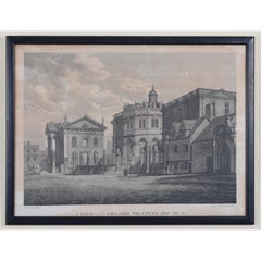
- The Sheldonian and Clarendon, Broad Street, Oxford engraving by BasireLocated in London, GBTo see our other views of Oxford and Cambridge, scroll down to "More from this Seller" and below it click on "See all from this Seller" - or send us a message if you cannot find the view you want. James Basire II (1769 - 1822) after Edward Dayes...Category
Early 1800s Realist Landscape Prints
MaterialsEngraving
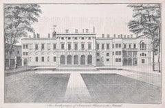
- South Prospect of Somerset House engraving c. 1753 for Stow's Survey of LondonLocated in London, GBTo see our other views and maps of England - including London, Oxford and Cambridge, scroll down to "More from this Seller" and below it click on "See all from this Seller" - or send...Category
1750s Realist Landscape Prints
MaterialsEngraving
- David Loggan: New College, Oxford 1690 engravingBy David LogganLocated in London, GBTo see our other views of Oxford and Cambridge, scroll down to "More from this Seller" and below it click on "See all from this seller" - or send us a message if you cannot find the view you want. David Loggan (1634-1692) New College...Category
1690s Realist Landscape Prints
MaterialsEngraving
- Oxford Christ Church and Carfax 18th century engraving by John DonowellLocated in London, GBTo see our other views of Oxford and Cambridge, scroll down to "More from this Seller" and below it click on "See all from this Seller" - or send us a message if you cannot find the ...Category
1750s Landscape Prints
MaterialsEngraving
- Map of Cambridge 18th century engraving by Sutton NicholsLocated in London, GBTo see more, scroll down to "More from this Seller" and below it click on "See all from this Seller." Sutton Nichols (1668 - 1729) Map of Cambridgeshire Engraving 43 x 36 cm Signed in plate lower left. A beautifully coloured 18th century map engraving of Cambridgeshire. The map was produced by Robert Morden for publication in Edward Gibson's 1695 translation of William Camden's Britannia, a topographical and historical survey of Great Britain and Ireland produced to "restore antiquity to Britaine, and Britain to his antiquity" - a most noble aim. William Camden (1551 - 1623) was an English antiquarian, historian, topographer, and herald, best known as the author of Britannia, the first chorographical survey of the islands of Great Britain and Ireland, and the Annales, the first detailed historical account of the Queen...Category
18th Century Landscape Prints
MaterialsEngraving
- Cambridge map 17th century engraving after John SpeedBy John SpeedLocated in London, GBTo see more, scroll down to "More from this Seller" and below it click on "See all from this Seller." Pieter van den Keere (1571 - circa 1646) after John Speed (1551 or 1552 - 1629) Map of Cambridgeshire Engraving 8 x 12 cm A beautifully coloured map of Cambridgeshire, with an antique description of the county to the reverse. The map, along with many others, was published in Speed's atlas, 'The Theatre of the Empire of Great Britaine', first published in 1611. This particular miniature edition of the 'Theatre' was published in miniature by George Humble in 1627, entitled 'England Wales Scotland and Ireland Described and Abridged With ye Historic Relation of things worthy memory from a farr larger Voulume. Done by John Speed.’ Speed's original map was likely engraved for this edition by Peter van den Keere. van den Keere's maps soon came to be known as "Miniature Speeds". John Speed was an English cartographer, chronologer and historian. The son of a citizen and Merchant Taylor in London, he rose from his family occupation to accept the task of drawing together and revising the histories, topographies and maps of the Kingdoms of Great Britain as an exposition of the union of their monarchies in the person of King James I and VI. He accomplished this with remarkable success, with the support and assistance of the leading antiquarian scholars of his generation. He drew upon and improved the shire maps of Christopher Saxton, John Norden and others, being the first to incorporate the hundred-boundaries into them, and he was the surveyor and originator of many of the town or city plans inset within them. His work helped to define early modern concepts of British national identity. His Biblical genealogies were also formally associated with the first edition of the King James Bible...Category
1620s Landscape Prints
MaterialsEngraving
You May Also Like
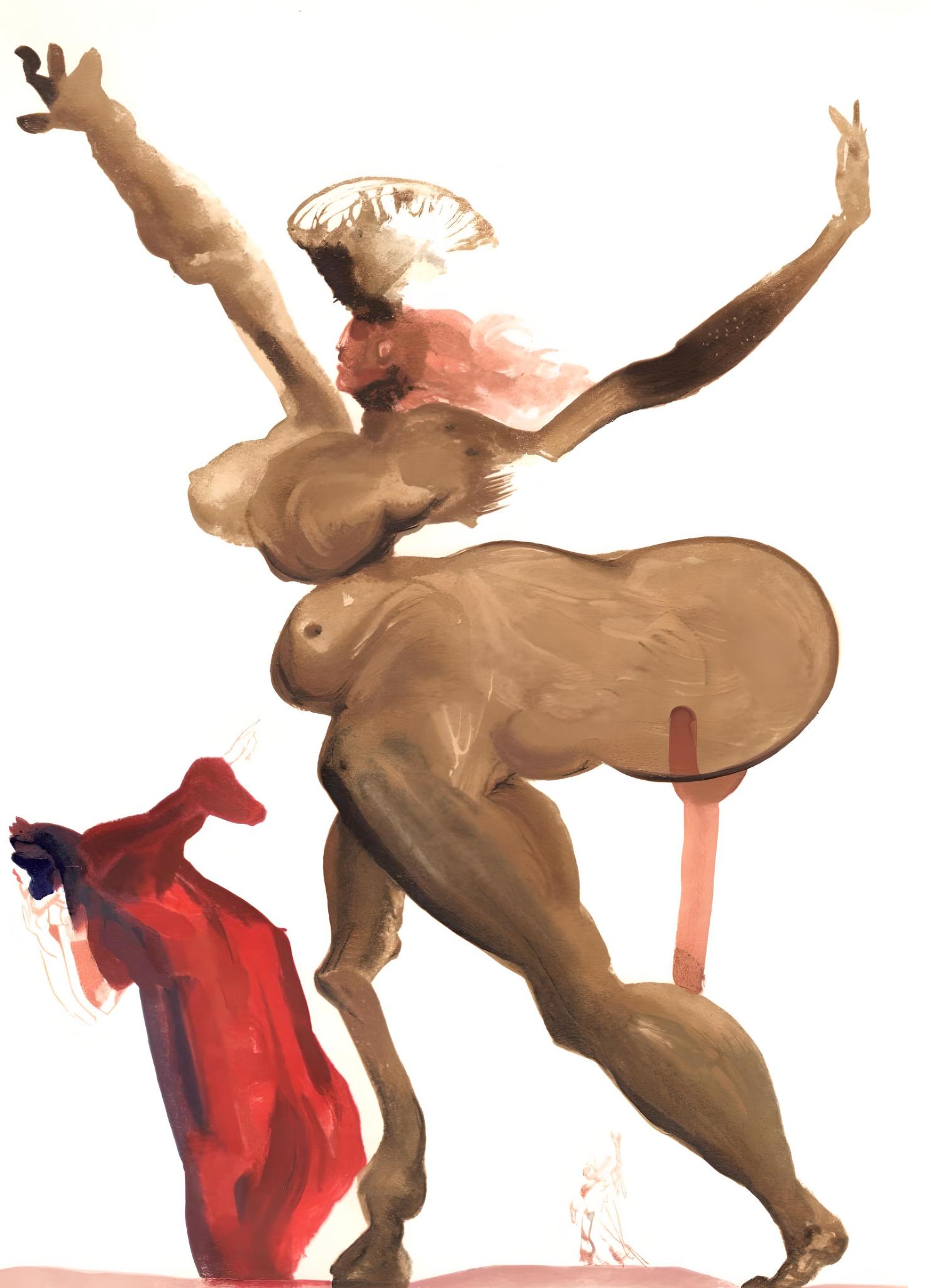
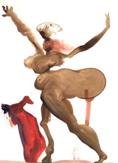
- Salvador Dalí, Manto, La Divine Comédie (M/L.1039-1138; F.189-200)By Salvador DalíLocated in Fairfield, CTArtist: Salvador Dali (1904-1989) Year: 1963 Medium: Wood engraving in colors on Rives BFK paper Inscription: Unsigned and unnumbered, as issued Edition: 4765 in French; 3188 in Ital...Category
1960s Surrealist Figurative Prints
MaterialsEngraving
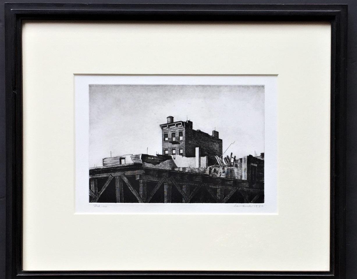
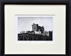
- Demolition No. 1By Armin LandeckLocated in Storrs, CTDemolition No. 1. 1940. Drypoint. Kraeft 80. 4 7/8 x 8 7/8(sheet 12 x 13 7/8). Edition 100. Provenance: estate of David Llewellyn Reese, New York. A rich impression with tonal wiping...Category
1930s American Modern Landscape Prints
MaterialsDrypoint, Etching
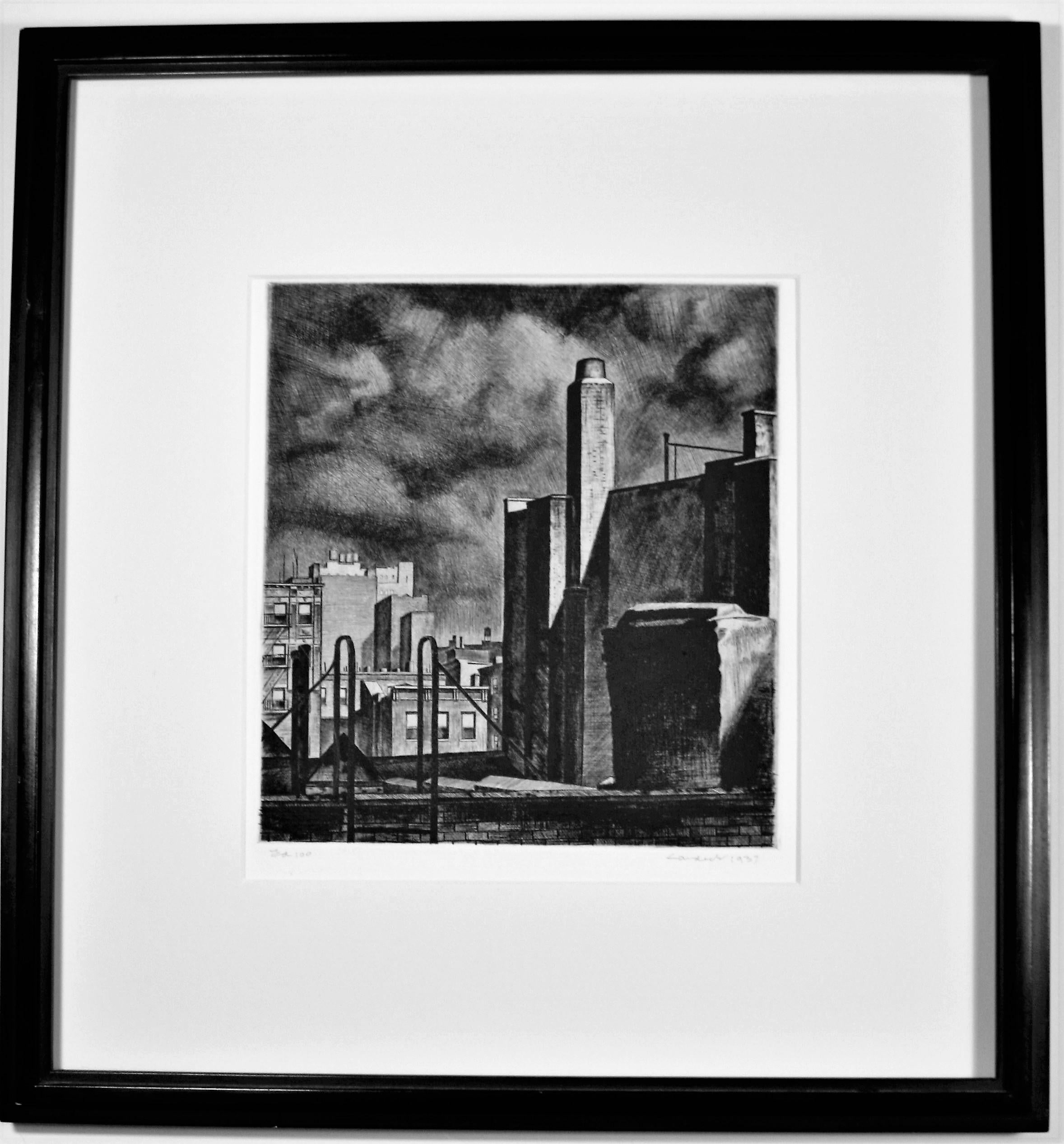
- Approaching StormBy Armin LandeckLocated in Storrs, CTApproaching Storm, Manhattan. 1937. Drypoint. Kraeft 65. 9 1/8 x 8 3/8 (sheet 15 3/4 x 14 7/8). Edition 100. Provenance: Estate of David Llewellyn Re...Category
1930s American Modern Landscape Prints
MaterialsDrypoint
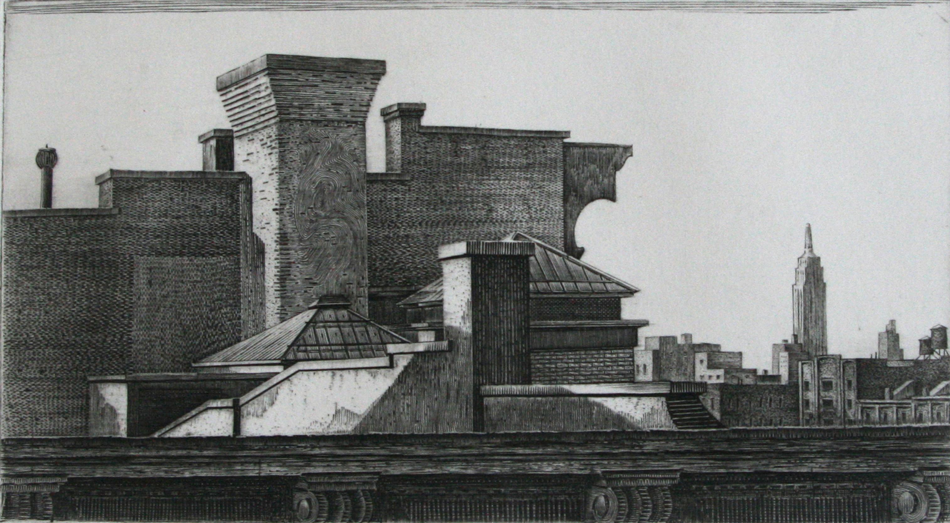
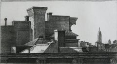
- RooftopBy Armin LandeckLocated in Storrs, CTRooftop. 1941. Engraving. Kraeft 84. 4 7/8 x 8 7/8 (sheet 8 7/8 x 12 3/4). Edition 100. Provenance: estate of David Llewellyn Reese, New York. A rich impression printed on white wove...Category
1940s American Modern Landscape Prints
MaterialsEngraving
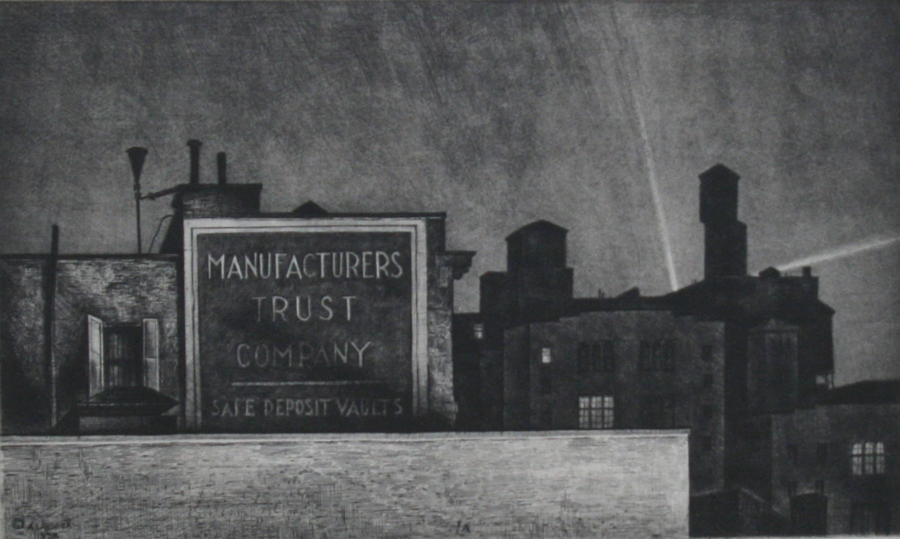
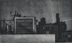
- Manhattan NocturneBy Armin LandeckLocated in Storrs, CTManhattan Nocturne. 1938. Etching and drypoint. Kraeft 70. 7 1/8 x 11 7/8 (sheet 10 1/2 x 15 1/4). Edition 100. Presentation Print of the Society of American Etchers, 1938. Provenanc...Category
1930s American Modern Landscape Prints
MaterialsDrypoint, Etching
- York Avenue, Sunday Morning.By Armin LandeckLocated in Storrs, CTYork Avenue, Sunday Morning. 1939. Drypoint. Kraeft 78. 7 3/4 x 12 7/8 (sheet 8 x 12). Edition 100. Provenance: Estate of David Llewellyn Reese, New York. ...Category
1920s American Modern Landscape Prints
MaterialsDrypoint, Etching

Recently Viewed
View AllMore Ways To Browse
Antique Oxford
Antique Printing Press
Printing Press Antique
Antique Astronomical
English Landscape Paintings Of Bridges
John M Turner
John Piper Lithograph
Observatory Oil
Chinese Tiffany Studio
Picasso White Clown In Frame
Prince Charles Lithograph
Quarter Moon
Samuel Clements
1839 David Roberts
Ink Well Tiffany
Liber Veritatis
Southwest Block Print
Tiffany Chinese New Year