Items Similar to Antique Map of Australia, New Zealand and Oceania by F. von Stülpnagel, 1850


Want more images or videos?
Request additional images or videos from the seller
1 of 5
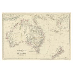
Antique Map of Australia, New Zealand and Oceania by F. von Stülpnagel, 1850
About the Item
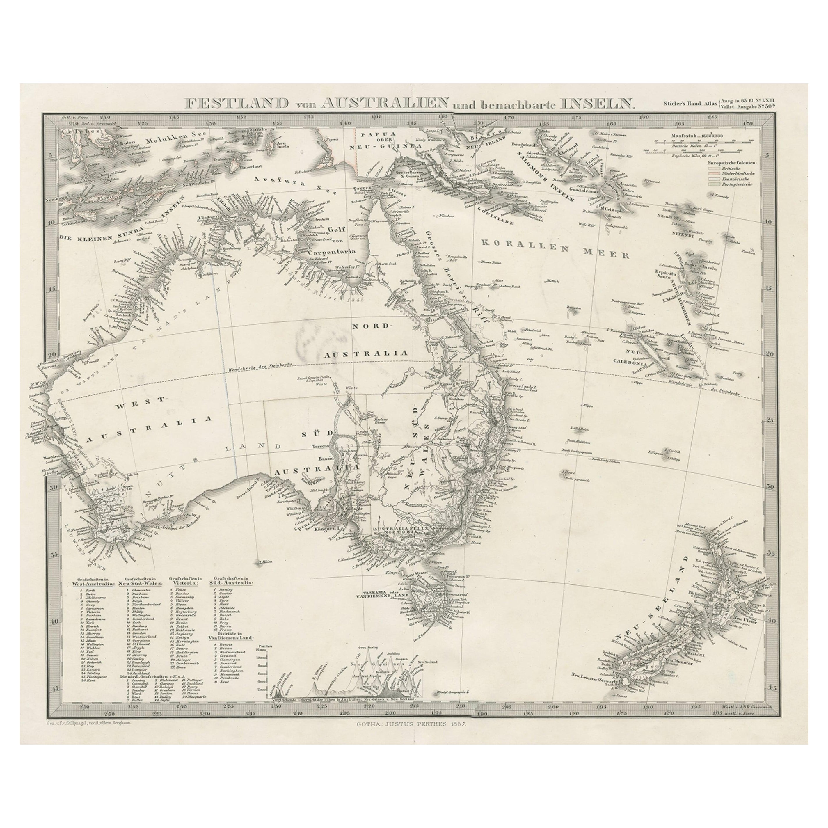
Antique map titled 'Australien und Polynesien in Mercators Projection'. A map of Australia, New Zealand and Oceania. This includes Fiji, Tahiti and several other island groups in the Pacific. On the right edge California is (just) visible. Sheet 50a from 'Stieler's Hand-Atlas' published in Gotha: Justus Perthes, 1850.
- Dimensions:Height: 15.16 in (38.5 cm)Width: 18.31 in (46.5 cm)Depth: 0.02 in (0.5 mm)
- Materials and Techniques:
- Period:
- Date of Manufacture:1850
- Condition:Please study image carefully.
- Seller Location:Langweer, NL
- Reference Number:
About the Seller
5.0
Platinum Seller
These expertly vetted sellers are 1stDibs' most experienced sellers and are rated highest by our customers.
Established in 2009
1stDibs seller since 2017
1,976 sales on 1stDibs
Typical response time: <1 hour
- ShippingRetrieving quote...Ships From: Langweer, Netherlands
- Return PolicyA return for this item may be initiated within 14 days of delivery.
More From This SellerView All
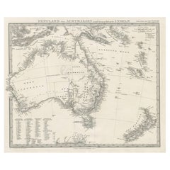
- Antique Map of Southeastern Australia by F. von Stülpnagel, 1850Located in Langweer, NLAntique map titled 'Süd-Östlichen Australien'. Map of southeastern Australia with inset maps of southwest Australia and Tasmania compiled by the military cartographer Friedrich von S...Category
Antique Mid-19th Century Maps
MaterialsPaper
- Antique Map of Australia and surrounding Islands by F. von Stülpnagel, 1850Located in Langweer, NLAntique map titled 'Festland von Asutralien und benachbarte Inseln'. Map showing Australia, New Zealand, Southern New-Guinea and surrounding islands. This map originates from Stieler...Category
Antique Mid-19th Century Maps
MaterialsPaper
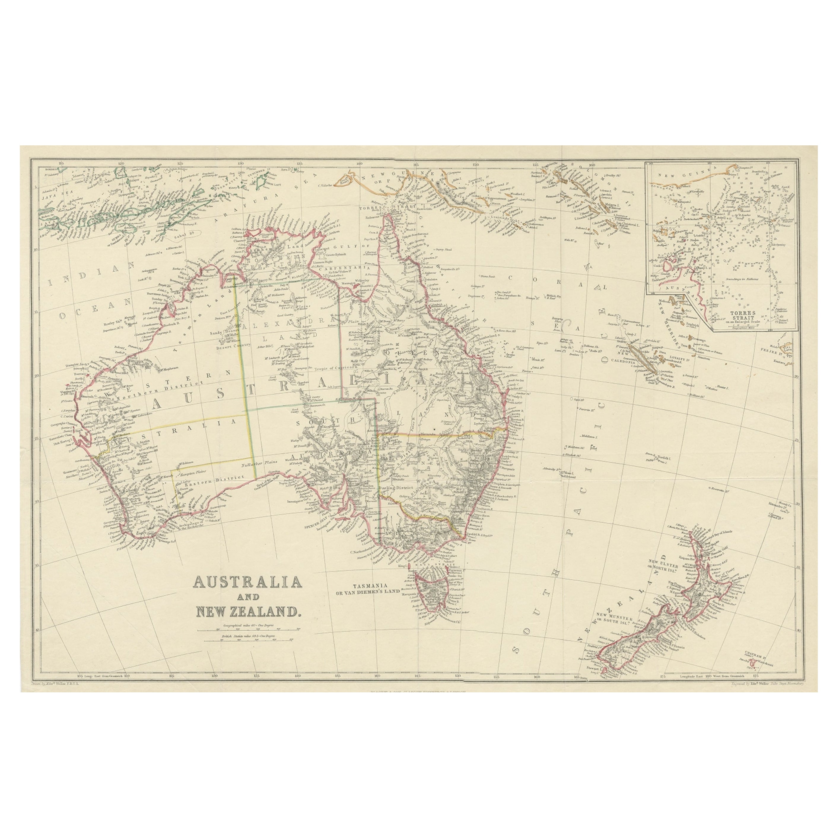
- Antique Map of Australia and New Zealand, c.1860Located in Langweer, NLAntique map titled 'Australia and New Zealand'. Unusual edition of this map of Australia and New Zealand, on very thin paper and multiple folding lines. Source unknown, to be determi...Category
Antique 19th Century Maps
MaterialsPaper
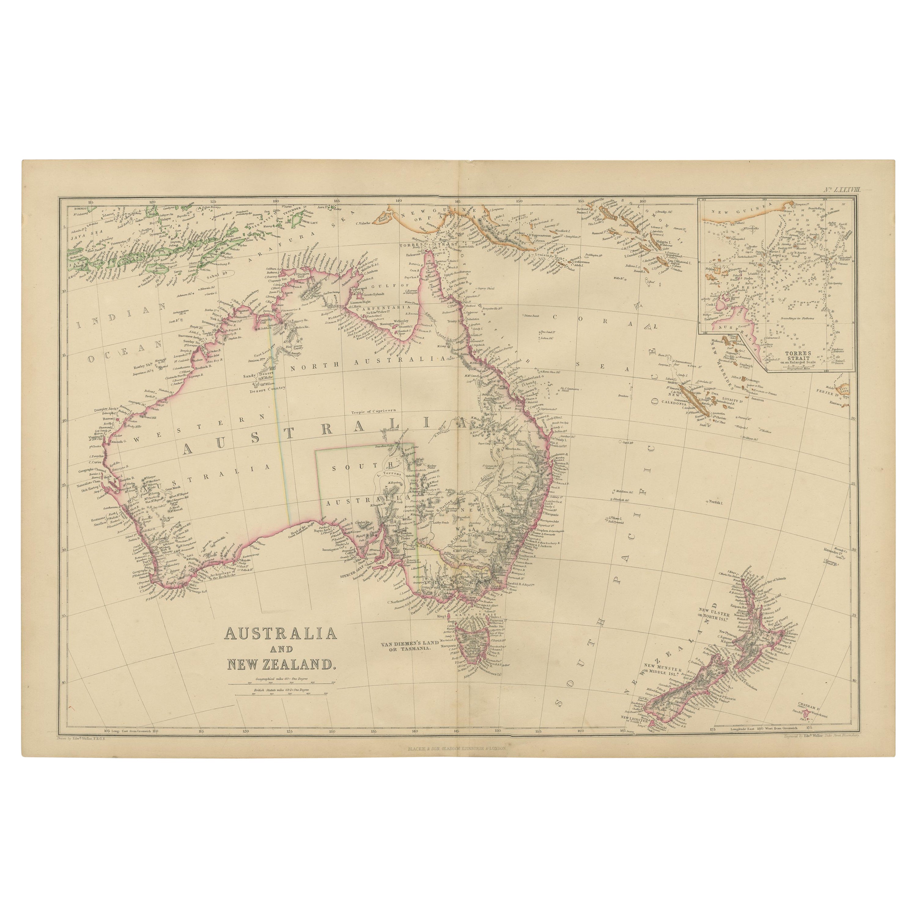
- Antique Map of Australia and New Zealand by W. G. Blackie, 1859Located in Langweer, NLAntique map titled 'Australia and New Zealand'. Original antique map of Australia and New Zealand with inset map of the Torres Strait. This map originates from ‘The Imperial Atlas of...Category
Antique Mid-19th Century Maps
MaterialsPaper
- German Antique Map of Australia and New Zealand, 1857Located in Langweer, NLAntique map Australia titled 'Festland von Australien und benachbarte Inseln'. Detailed map of Australia and New Zealand, including excellent det...Category
Antique 19th Century Maps
MaterialsPaper
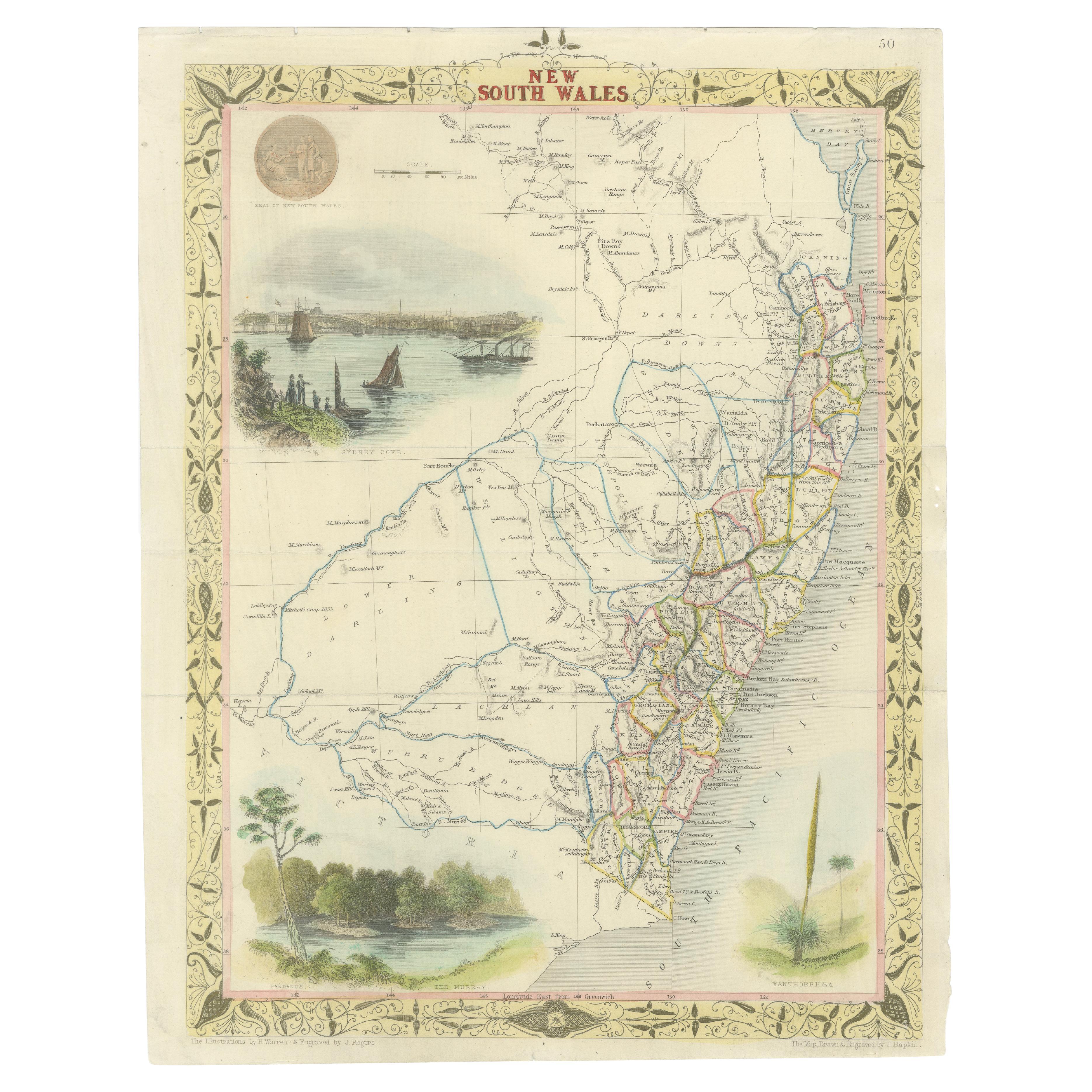
- Antique Map of New South Wales in Australia, ca. 1850Located in Langweer, NLAntique map of Victoria, or Port Phillip (12.7 x 10.0") in Australia. Superb map of Victoria roughly centered on Melbourne. Vignettes of Aborigines, a ...Category
Antique Mid-19th Century European Maps
MaterialsPaper


You May Also Like
- Original Antique Map of Scotland by Becker. C.1850Located in St Annes, LancashireGreat map of Scotland Engraved by F.P Becker Published by Virtue, C.1850 Unframed.Category
Antique 1850s Scottish Other Maps
MaterialsPaper
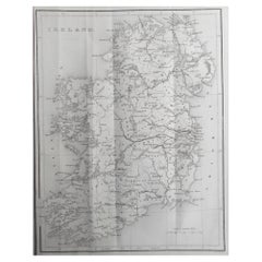
- Original Antique Map of Ireland by Hughes. C.1850Located in St Annes, LancashireGreat map of Ireland Engraved by W.Hughes Published by Virtue, C.1850 Unframed.Category
Antique 1850s Scottish Other Maps
MaterialsPaper
- Original Antique Map of Belgium by Tallis, Circa 1850Located in St Annes, LancashireGreat map of Belgium Steel engraving Many lovely vignettes Published by London Printing & Publishing Co. ( Formerly Tallis ), C.1850 Origin...Category
Antique 1850s English Maps
MaterialsPaper
- Original Antique Map / City Plan of Brussels by Tallis, circa 1850Located in St Annes, LancashireGreat map of Brussels. Steel engraving. Published by London Printing & Publishing Co. (Formerly Tallis), C.1850 Free shipping.Category
Antique 1850s English Maps
MaterialsPaper
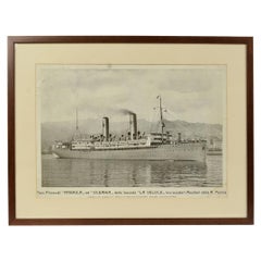
- 1930s Antique Nautical Print Depicting Oceania ship by Adolfo Barabino GenovaLocated in Milan, ITLithograph on paper published by S.A.I.G, Adolfo Barabino Genova depicting the Oceania steamer. Title of the lithograph “America and Oceania Steamboats of the La Veloce Company, Auxi...Category
Vintage 1930s Italian Nautical Objects
MaterialsWood, Paper
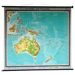
- Map Mural Rollable Poster Vintage Wall Chart Australia New Zealand PolynesiaLocated in Berghuelen, DEMap Mural Rollable Poster Vintage Wall Chart Australia New Zealand Polynesia A beautiful vintage school map illustrating the popular region of Aust...Category
Vintage 1970s German Country Posters
MaterialsCanvas, Wood, Paper


Recently Viewed
View AllMore Ways To Browse
Antique Map New
Antique Furniture In Australia
19th Century Australian Furniture
Map Of The Pacific
California Map
Antique New Zealand
Mercator Antique
Antique Collectables Australia
Antique Australia Map
Antique Australian Map
Antique Australian Maps
Antique Maps Australia
Antique Maps Of Australia
Antique Furniture New Zealand
New Zealand Antique Furniture
Pacific Map
Antique Map California
Antique Map Of California