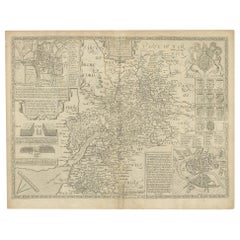
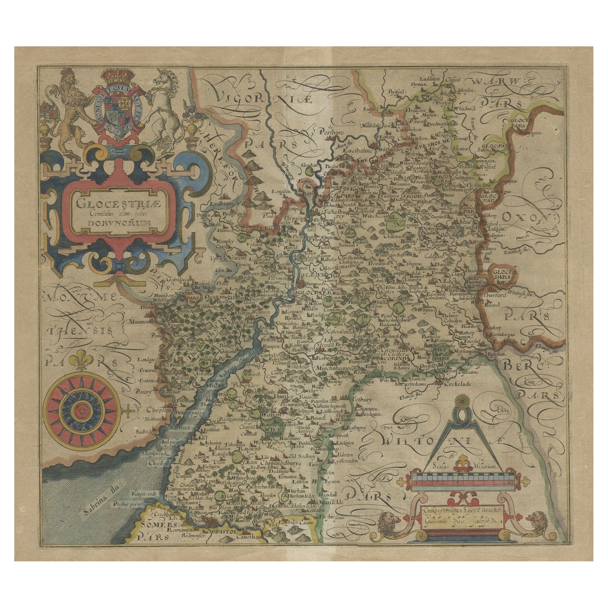
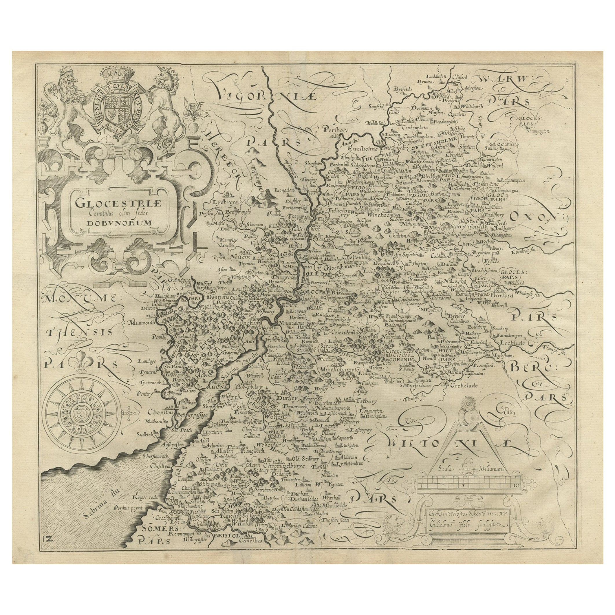
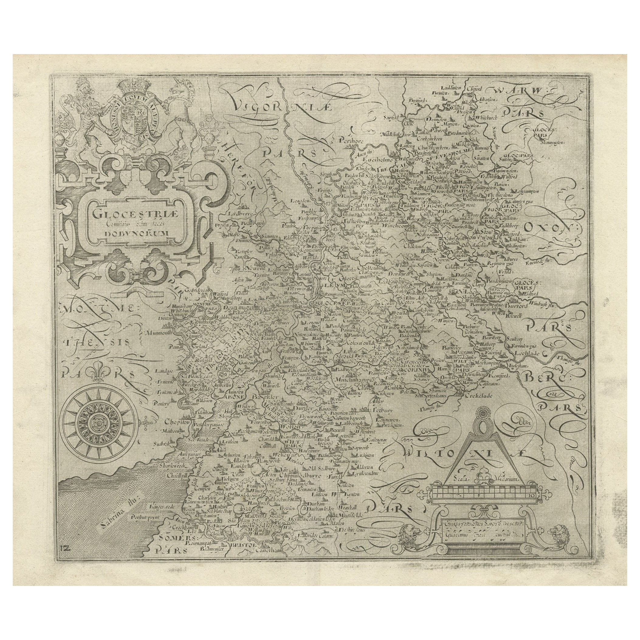
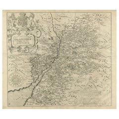
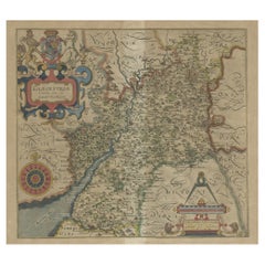
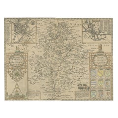
Antique Map of Gloucestershire by John Speed, '1676'
View Similar Items


Want more images or videos?
Request additional images or videos from the seller
1 of 5
Antique Map of Gloucestershire by John Speed, '1676'
About the Item
- Dimensions:Height: 16.93 in (43 cm)Width: 21.66 in (55 cm)Depth: 0.02 in (0.5 mm)
- Materials and Techniques:
- Period:Mid-17th Century
- Date of Manufacture:1676
- Condition:Repaired: Repair on folding line. General age-related toning. Repair on folding line. Shows wear and small defects. English text on verso. Please study images carefully.
- Seller Location:Langweer, NL
- Reference Number:Seller: BG-12705-171stDibs: LU3054321190872
About the Seller
5.0
Platinum Seller
These expertly vetted sellers are 1stDibs' most experienced sellers and are rated highest by our customers.
Established in 2009
1stDibs seller since 2017
1,969 sales on 1stDibs
More From This SellerView All
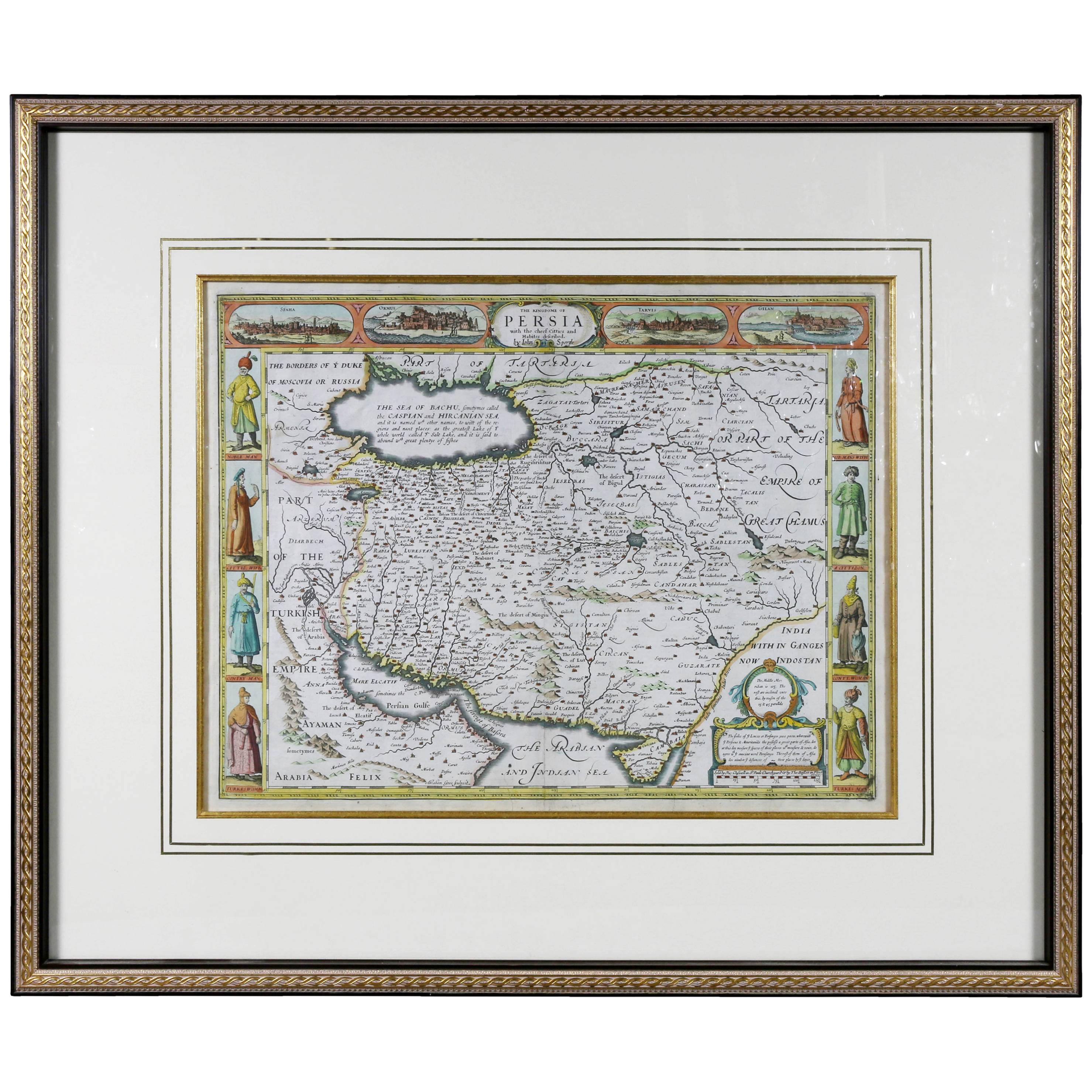
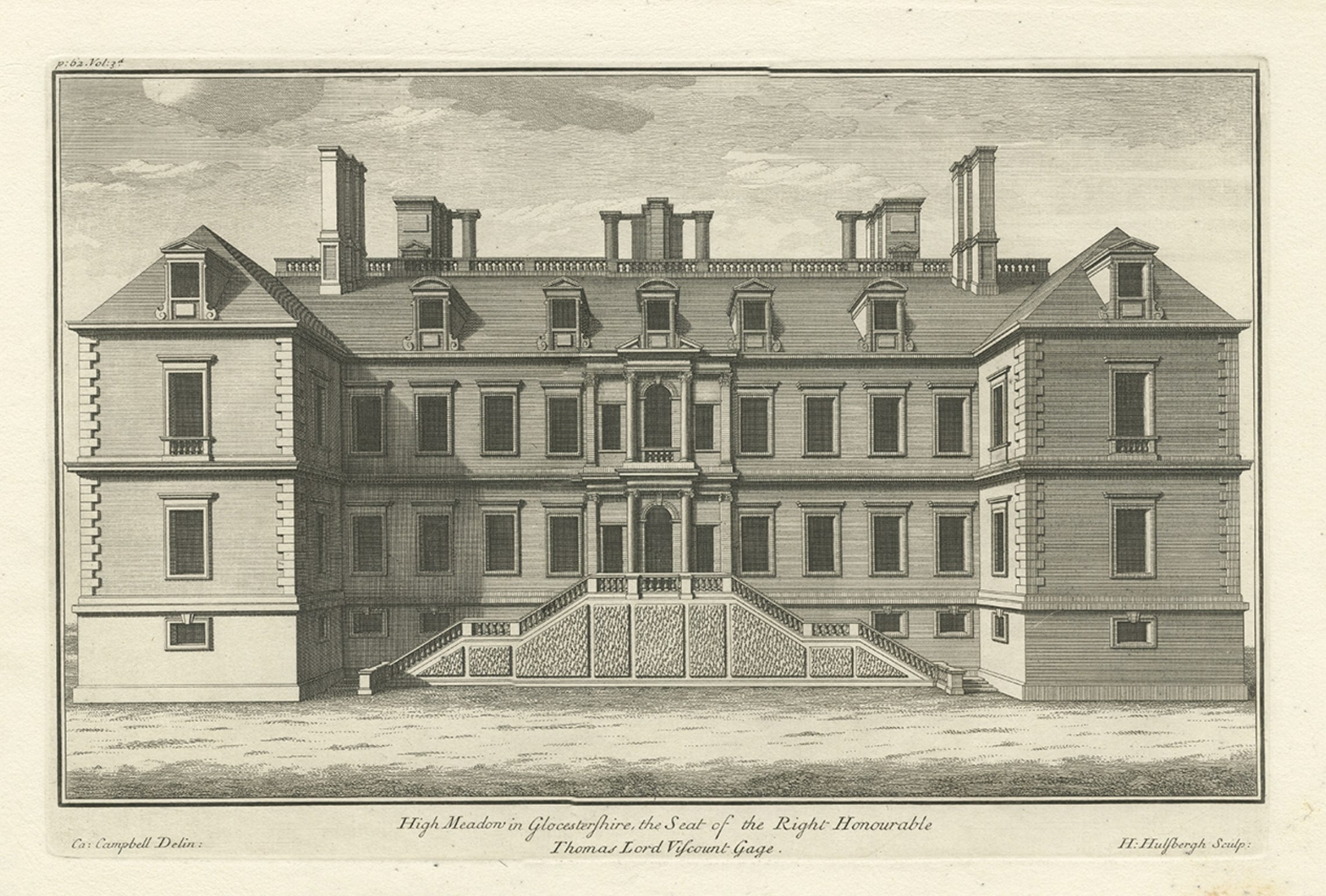
- Antique Map of Gloucestershire by Camden, c.1607Located in Langweer, NLAntique map titled 'Glocestriae comitatus olim sedes Dobunorum'. Map of Gloucestershire, England. This map originates from Camden?s 'Britannia' ...Category
Antique 17th Century Maps
MaterialsPaper
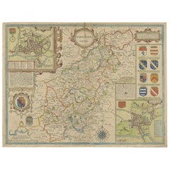
- Antique Map of Northamptonshire by Speed, 1676Located in Langweer, NLAntique map titled 'Norhamtonshire'. Map of Norhamptonshire, England. Includes inset town plans of Peterborough and Northampton. This map originates from 'Theatre of Great Britaine' ...Category
Antique 17th Century Maps
MaterialsPaper
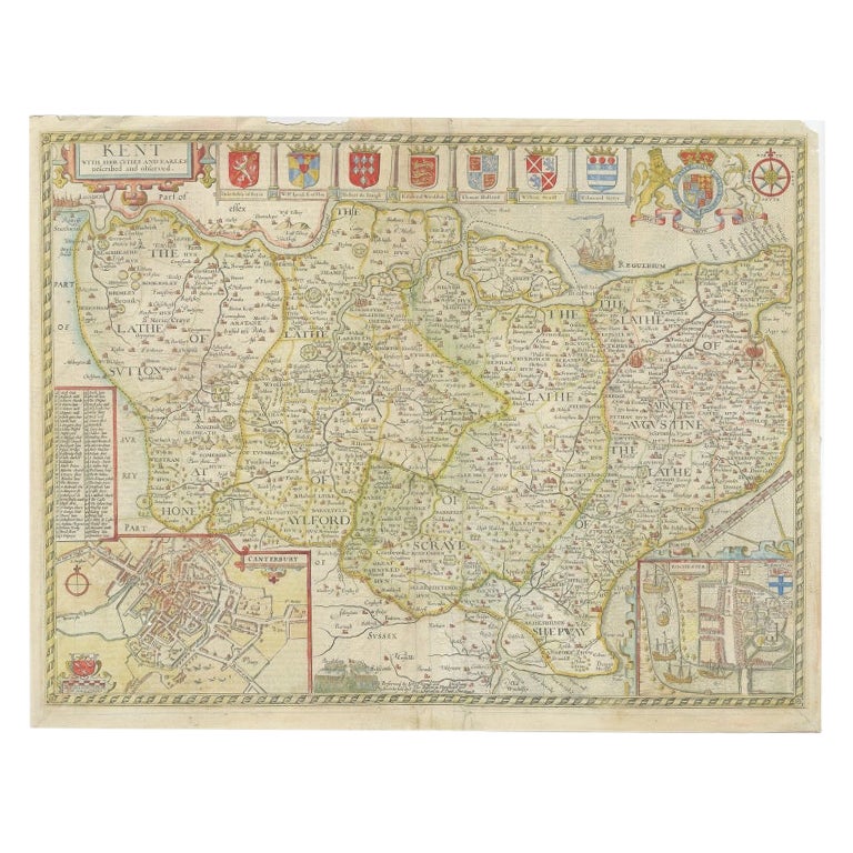
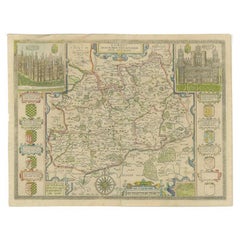
- Antique Map of Surrey by Speed, 1676Located in Langweer, NLAntique map titled 'Surrey described and divided into hundreds'. Map of Surrey, England. Includes inset elevations of Richmond and Nonsuch Palaces. This map originates from 'Theatre ...Category
Antique 17th Century Maps
MaterialsPaper
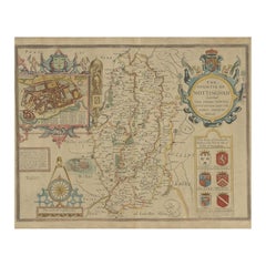
- Antique Map of Nottinghamshire by Speed, 1676Located in Langweer, NLAntique map titled 'The Countie of Nottingham (..)'. Map of Nottinghamshire, England. Includes an inset town plan of Nottingham. This map originates from 'Theatre of Great Britaine' ...Category
Antique 17th Century Maps
MaterialsPaper
- Antique Map of Gloucestershire in Britain by Camden, 1637Located in Langweer, NLAntique map titled 'Glocestriae comitatus olim sedes Dobunorum'. Map of Gloucestershire, England. This map originates from Camden?s 'Britannia' ...Category
Antique 17th Century Maps
MaterialsPaper
 $317 Sale Price20% Off
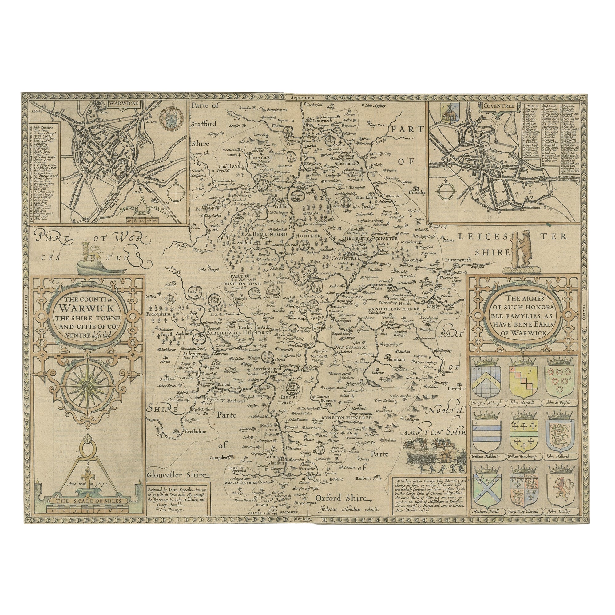
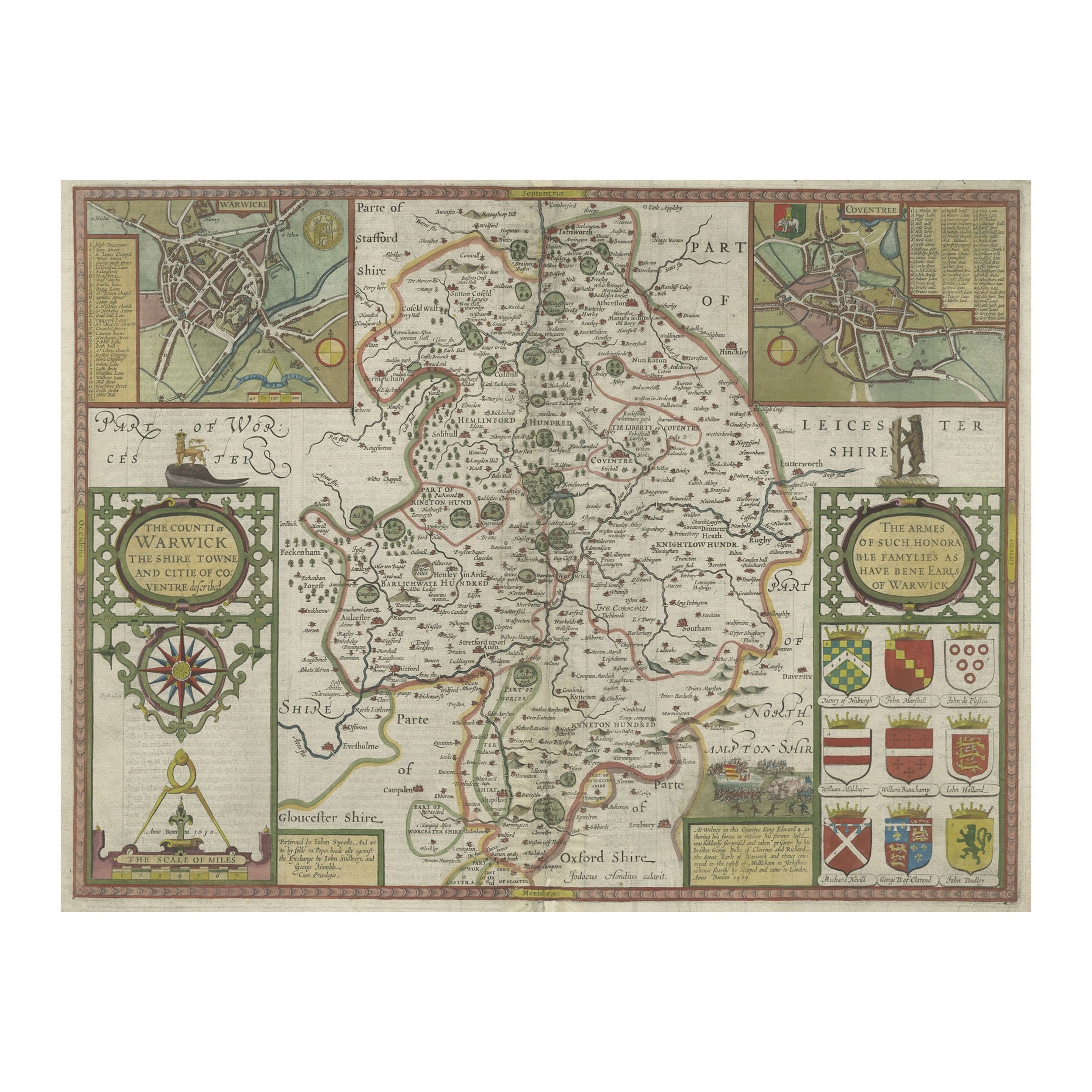
 - Antique Map of Warwickshire by Speed, c.1614Located in Langweer, NLAntique map titled 'The Counti of Warwick (..)'. Map of Warwickshire, England. Includes inset town plans of Warwick and Coventry. This map originates from 'Theatre of Great Britaine'...Category
Antique 17th Century Maps
MaterialsPaper
You May Also LikeView All
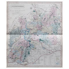
- Original Antique English County Map, Gloucestershire, J & C Walker, 1851Located in St Annes, LancashireGreat map of Gloucestershire Original colour By J & C Walker Published by Longman, Rees, Orme, Brown & Co. 1851 Unframed.Category
Antique 1850s English Other Maps
MaterialsPaper
- Antique Map of Italy by Andriveau-Goujon, 1843By Andriveau-GoujonLocated in New York, NYAntique Map of Italy by Andriveau-Goujon, 1843. Map of Italy in two parts by Andriveau-Goujon for the Library of Prince Carini at Palazzo Carini i...Category
Antique 1840s French Maps
MaterialsLinen, Paper
 $3,350 / set
 - Antique Map of Principality of MonacoBy Antonio Vallardi EditoreLocated in Alessandria, PiemonteST/619 - "Old Geographical Atlas of Italy - Topographic map of ex-Principality of Monaco" - ediz Vallardi - Milano - A somewhat special edition ---Category
Antique Late 19th Century Italian Other Prints
MaterialsPaper
 $229 Sale Price74% Off
 - Original Antique Map of Russia By Arrowsmith. 1820Located in St Annes, LancashireGreat map of Russia Drawn under the direction of Arrowsmith Copper-plate engraving Published by Longman, Hurst, Rees, Orme and Brown, 1820 Unframed.Category
Antique 1820s English Maps
MaterialsPaper

- Original Antique Map of Scotland by Becker. C.1850Located in St Annes, LancashireGreat map of Scotland Engraved by F.P Becker Published by Virtue, C.1850 Unframed.Category
Antique 1850s Scottish Other Maps
MaterialsPaper

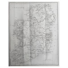
- Original Antique Map of Ireland by Hughes. C.1850Located in St Annes, LancashireGreat map of Ireland Engraved by W.Hughes Published by Virtue, C.1850 Unframed.Category
Antique 1850s Scottish Other Maps
MaterialsPaper
Recently Viewed
View AllMore Ways To Browse
Antique Town Maps
Used Bassett Furniture
Used Furniture Gloucester
Bassett Mid Century
Mid Century Bassett Furniture
Speed Map
Antique Furniture Gloucester
Speed Antique Map
Antique Furniture Gloucestershire
John Speed Map
John Speed Maps
John Speed Antique Maps
Antique Bassett Furniture
Bassett Furniture Antique
Gloucestershire Antique Map
Map Lithograph
Old World Maps
Old Maps Of World