Items Similar to Chart of Boston's North Shore


Want more images or videos?
Request additional images or videos from the seller
1 of 16
Chart of Boston's North Shore
About the Item
Rarely found restrike of an 1804 chart by Nathanael Bowditch of the Harbors of Salem, Marblehead, Beverly, and Manchester.
Showing the Islands of Great Misery, Satan, Cuney, Winter, etc..
Restrike is Circa 1980
Weight: 9 lbs
Overall Dimensions: 26"H x 30"W
Made: American
Material: Paper
Date: 1980
- Dimensions:Height: 26 in (66.04 cm)Width: 30 in (76.2 cm)Depth: 2 in (5.08 cm)
- Materials and Techniques:
- Place of Origin:
- Period:1980-1989
- Date of Manufacture:1980
- Condition:
- Seller Location:Norwell, MA
- Reference Number:
About the Seller
5.0
Vetted Seller
These experienced sellers undergo a comprehensive evaluation by our team of in-house experts.
Established in 1967
1stDibs seller since 2015
352 sales on 1stDibs
Typical response time: 2 hours
- ShippingRetrieving quote...Ships From: Norwell, MA
- Return PolicyThis item cannot be returned.
More From This SellerView All
- 1898 Chart of Boston BayLocated in Norwell, MAOriginal 1898 chart showing Massachusetts Bay with the coast from Cape Ann to Cape Cod. This is a U.S. Navy Geodetic survey chart. All towns are noted along the coast. Framed with gl...Category
Antique 1890s Nautical Objects
MaterialsPaper
- Original Imray & Son Chart of North Atlantic, 1876Located in Norwell, MANautical chart of the North Atlantic showing the Eastern United States coast, Caribbean Islands, South America (Venezuela and ), British Possessions (Canada - Gulf of Lawrence, Newfo...Category
Antique 1870s Nautical Objects
MaterialsPaper
- 1865 Chart of the Islands of MadeiraLocated in Norwell, MARare James Imray chart from 1865 titled "Chart of the Islands of Madeira, Porto Santo and Dezerea" drawn from the survey made by Captain Ate Vidal Royal Navy, London. Published by Ja...Category
Antique 1860s European Maps
MaterialsPaper
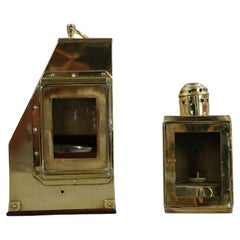
- Thaxter of Boston Yacht BinnacleBy Samuel ThaxterLocated in Norwell, MASolid brass yacht binnacle with highly polished case and compass, sidelight, and carry ring. Maker is Samuel Thaxter of Boston. Overall Dimensions: 10"H x 6"D x 9"L. 5 pounds.Category
Antique Early 1900s Nautical Objects
MaterialsBrass
- 19th Century Nautical Chart of MartiniqueLocated in Norwell, MAOriginal map of Martinique from 1887 with chartered waters around the island. Prepared from a French survey, completed in 1825, showing town, ports, rivers and tributaries. Published...Category
Antique 19th Century Nautical Objects
- Map of Boston and Surrounding TownsLocated in Norwell, MALater copy of a nineteenth century map of Boston and surrounding towns. Showing parts of Quincy, Milton, Hyde Park, Winthrop and Revere. Showing all of B...Category
Antique 19th Century North American Maps
MaterialsPaper


You May Also Like
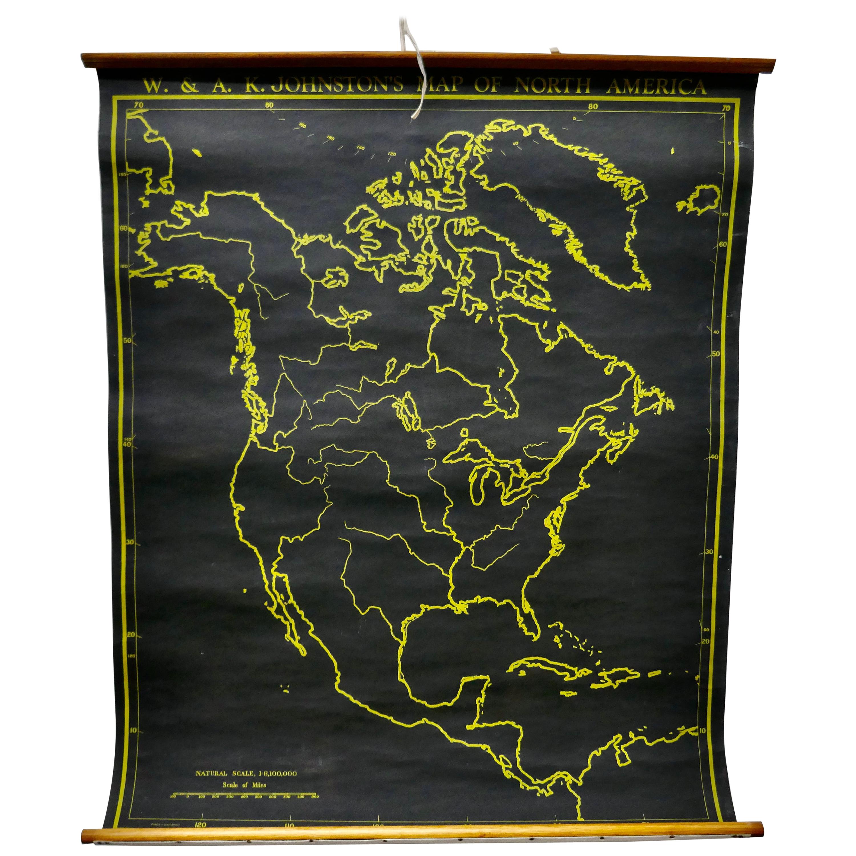
- University Chart “Black Map of North AmericaLocated in Chillerton, Isle of WightUniversity Chart “Black Map of North America W&A K Johnston’s Charts of Physical Maps By G W Bacon, This is a Black Physical map of North A...Category
Early 20th Century Industrial Maps
MaterialsLinen
- Antique Sea Chart of North America by Ottens, circa 1745Located in Langweer, NLAntique map titled 'Septemtrionaliora Americae a Groenlandia (..)'. Sea chart of the northern waters of North America, including the coast of Labrador and pa...Category
Antique Mid-18th Century Maps
MaterialsPaper
- Large University Chart “Political Map of North America” by BaconLocated in Chillerton, Isle of WightLarge University Chart “Political Map of North America” by Bacon W&A K Johnston’s Charts of Physical Maps By G W Bacon, This is colourful Physical map ...Category
Early 20th Century American Empire Posters
MaterialsLinen
- Large University Chart “Political Map of North America” by BaconLocated in Chillerton, Isle of WightLarge University chart “Political Map of North America” by Bacon W&A K Johnston’s Charts of Political Maps by G W Bacon, This is colorful Physical ...Category
Early 20th Century American Empire Posters
MaterialsLinen
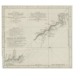
- Old Chart of the North-Eastern Coast of Australia Discovered by Cook, 1774Located in Langweer, NLAntique print titled Carte d'une Partie de la Cote de la N.le Galles Merid etc. An interesting chart of the north-eastern coast of Australia discovered by Cook in 1770, showing th...Category
Antique 1770s Maps
MaterialsPaper
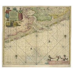
- Old Decorative & Highly Detailed Sea Chart of the North Dutch-German Coast, 1681Located in Langweer, NLAntique map titled 'Paskaart van een gedeelte van Vriesland, Groeninger, en Emderland. Met zyn onderhoorige Eylanden; Strekkende van't Eylant der Schelling'. Decorative and highl...Category
Antique 1680s Maps
MaterialsPaper


Recently Viewed
View AllMore Ways To Browse
Vintage Chart
Boston Vintage Furniture
Retro Furniture Boston
Used Office Furniture Manchester
Manchester Vintage Furniture
Used Furniture North Shore
Boston Vintage Map
Madagascar Antique Map
Map Of Prussia
Normandy Map
Prussia Map
Antique Map Of Florida
Antique Map Of Mississippi
Antique Maps Of Florida
Jamaican Antique
Louisiana Antiques
Romania Antique Map
South Arabian