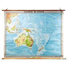
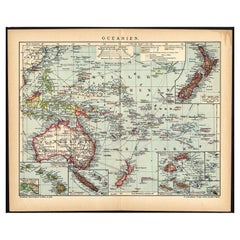
Mid-Century Dutch Topographical Wall Map of Australia and Oceania on Linen
View Similar Items


1 of 20
Mid-Century Dutch Topographical Wall Map of Australia and Oceania on Linen
About the Item
- Dimensions:Height: 69 in (175.26 cm)Width: 89 in (226.06 cm)Depth: 1.2 in (3.05 cm)
- Style:Mid-Century Modern (Of the Period)
- Materials and Techniques:
- Place of Origin:
- Period:
- Date of Manufacture:1961
- Condition:Wear consistent with age and use. Minor losses.
- Seller Location:Houston, TX
- Reference Number:1stDibs: LU1671224706372
You May Also LikeView All
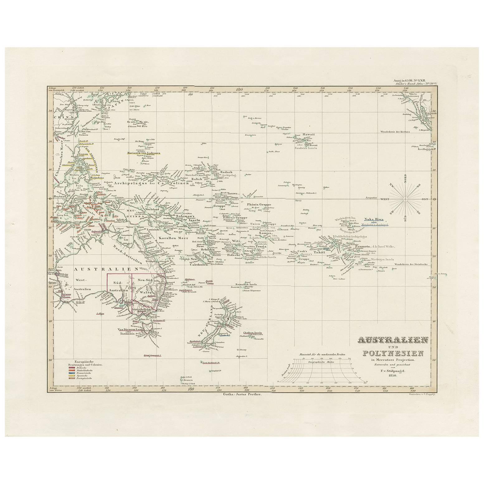
- Antique Map of Australia, New Zealand and Oceania by F. von Stülpnagel, 1850Located in Langweer, NLAntique map titled 'Australien und Polynesien in Mercators Projection'. A map of Australia, New Zealand and Oceania. This includes Fiji, Tahiti and several other island groups in the...Category
Antique Mid-19th Century Maps
MaterialsPaper
 $171 Sale Price30% Off
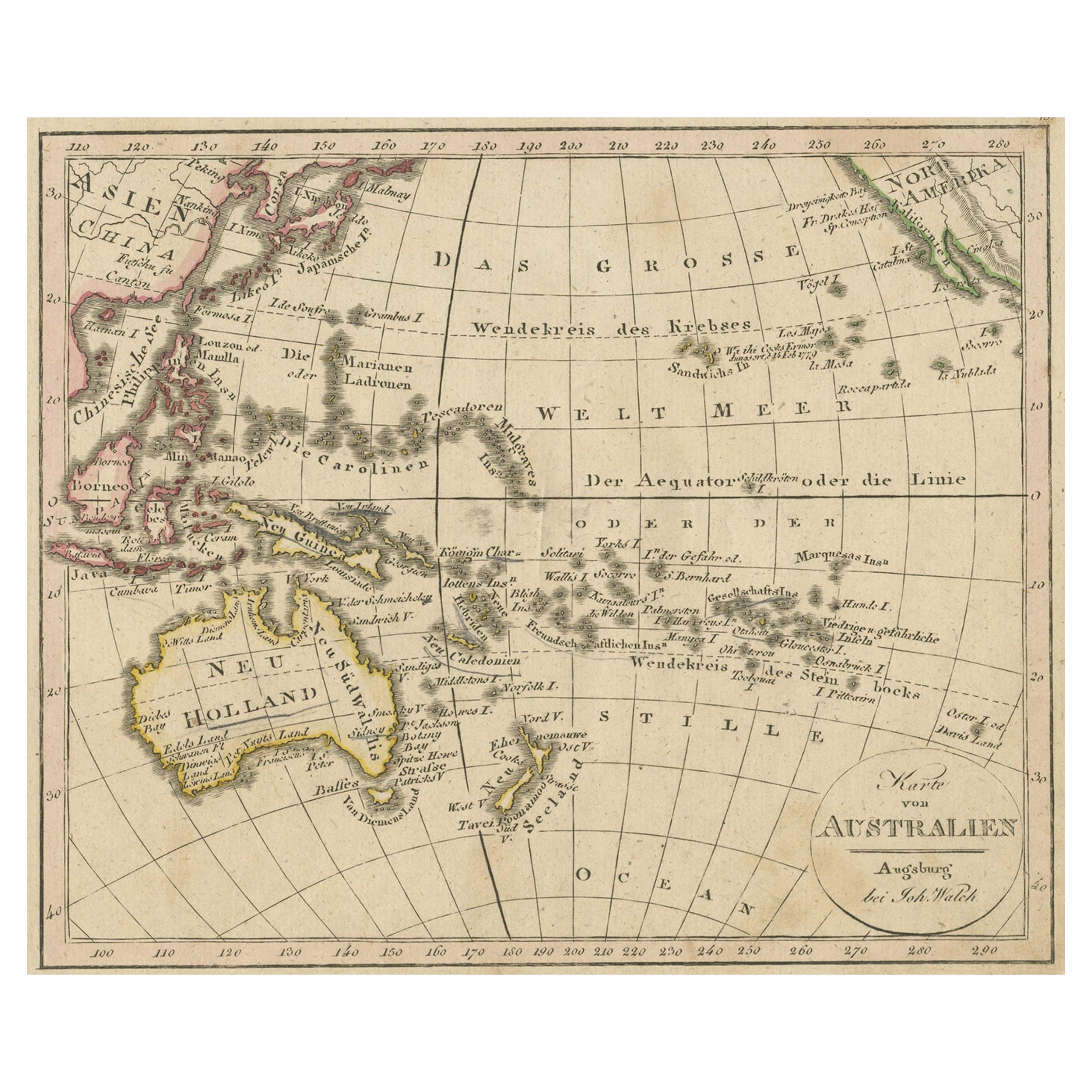
 - Antique Map of Oceania and the Pacific Ocean, Australia and New Zealand, 1826Located in Langweer, NLAntique map of Australia titled 'Karte von Australien'. Old map of Australia and New Zealand. Published in Walch's 'Neuester Schul-Atlas'. Artists and Engravers: Johann, or Johan...Category
Antique 19th Century Maps
MaterialsPaper
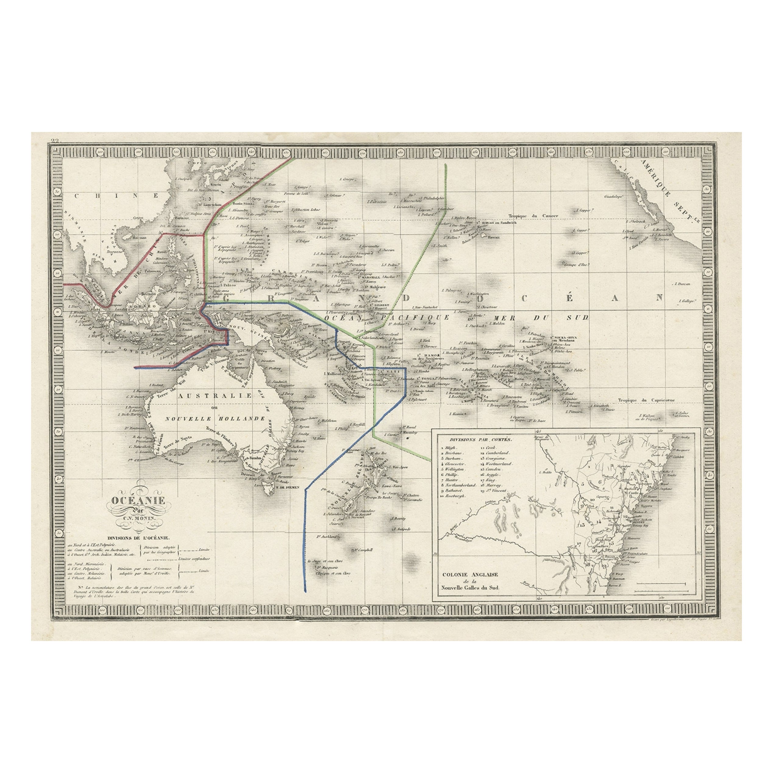
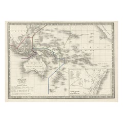
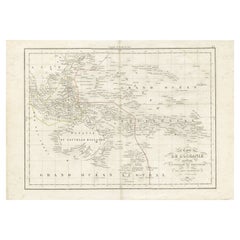
- French Antique Map of Oceania with Details of the Australian Colonies, c.1840Located in Langweer, NLAntique map Oceania titled 'Océanie par C.V. Monin'. Old map of Oceania with an inset of New South Wales. Originates from 'Atlas Classique de la Géographie Ancienne (..)'. Artists ...Category
Antique 19th Century Maps
MaterialsPaper
- German Antique Map of Oceania, 1895Located in Langweer, NLAntique map titled 'Oceanie.' Map of Oceania. This attractive original old antique print / plate / map originates from 1885-1907 editions of a famous German encyclopedia: 'Meyers grosses Konversations-Lexikon.', published in Leipzig and Vienna. Meyers Konversations-Lexikon was a major German encyclopedia that existed in various editions from 1839 until 1984, when it merged with the Brockhaus encyclopedia. Several of the plates were also used in Dutch Encyclopedia's like Winkler Prins...Category
Antique 19th Century Maps
MaterialsPaper
- Antique Map of Oceania by Levasseur, '1875'Located in Langweer, NLAntique map titled 'Carte générale de l'Océanie'. Large map of Oceania. This map originates from 'Atlas de Géographie Moderne Physique et Politique' by A. Levasseur. Published 1875.Category
Antique Late 19th Century Maps
MaterialsPaper
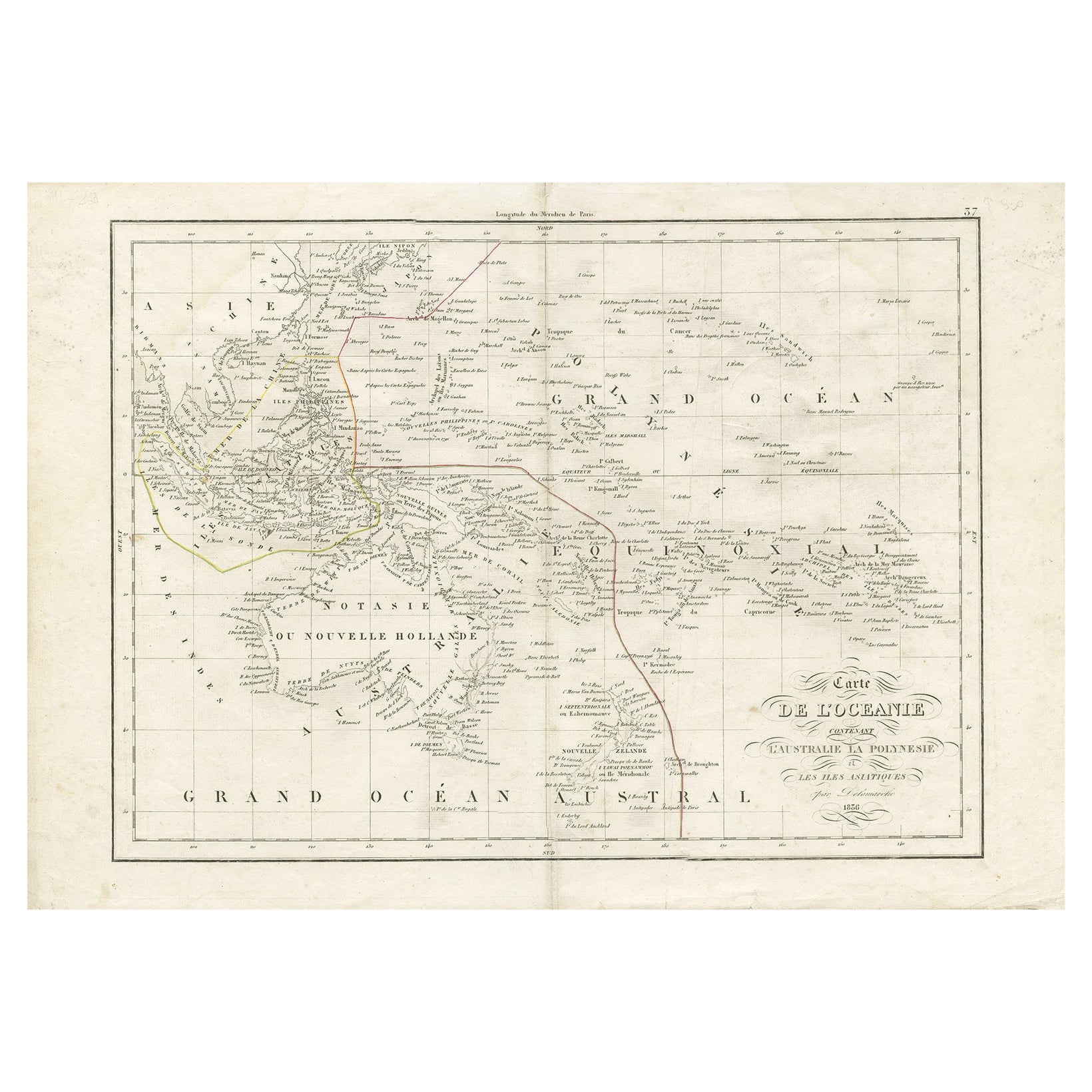
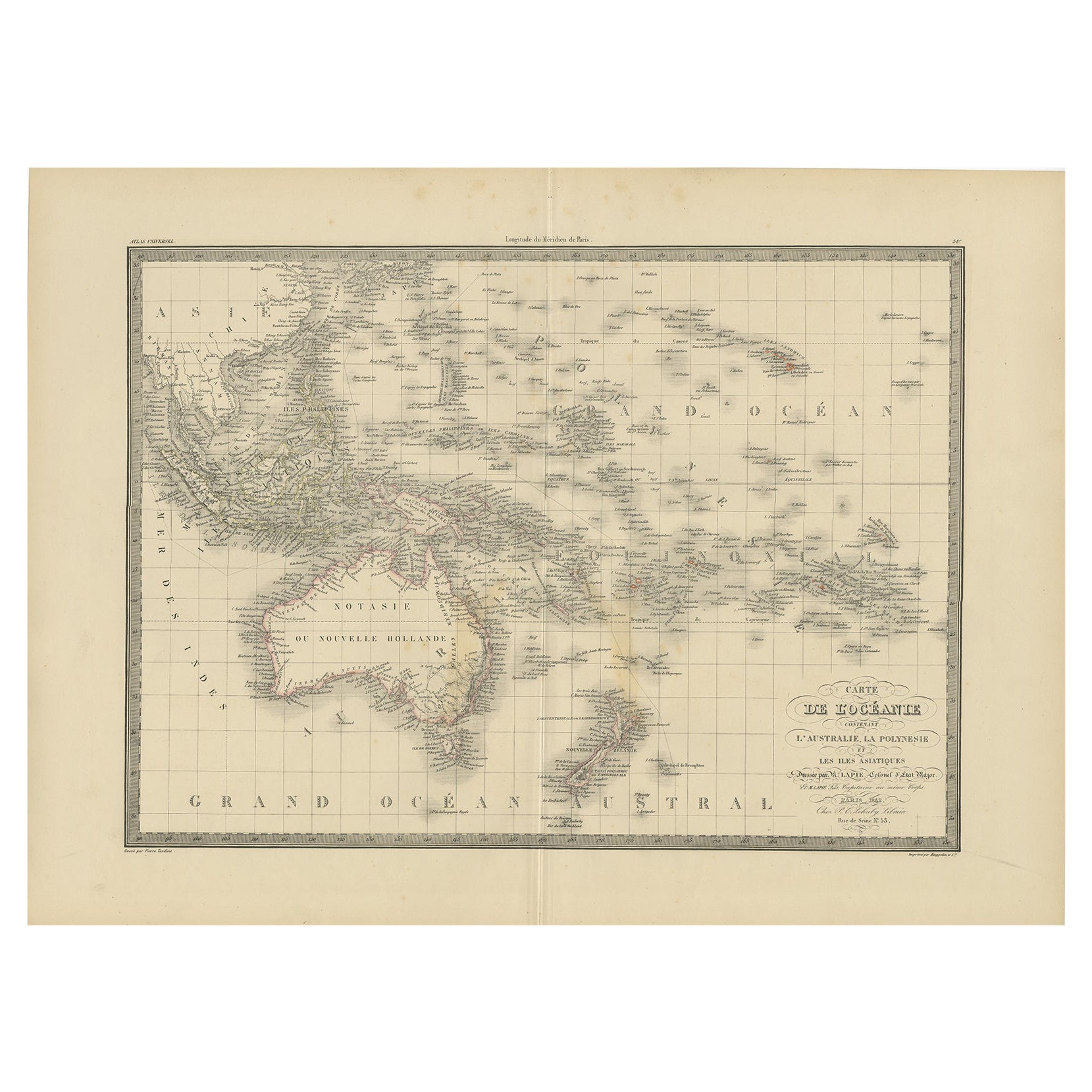
- Antique Map of Oceania by Delamarche, 1836Located in Langweer, NLAntique map titled 'Carte de l'Oceanie contenant l'Australie la Poynesie et les iles Asiatiques.' Antique map of Oceania comprising Australia and Polynesia, New Zealand and Indonesia...Category
Antique 19th Century Maps
MaterialsPaper

Recently Viewed
View AllMore Ways To Browse
Vintage Topographic Map
Rollable Map
Large Framed Maps
Devonia Antique
J Thayer
Map Of Antigua
Nicolas De Fer
Antiques From Guatemala
Sumba Map
Used Furniture Cabo San Lucas
Antique Maps Washington Dc
Antique Map Tennessee
Heinrich Kiepert On Sale
Georgetown Map
Large Original Antique Map Of Philadelphia
Tanzania Antique Map
Abraham Ortelius On Sale
William Wyld