Items Similar to Original Antique Map of Abyssinia, Sudan and the Red Sea, 1749


Want more images or videos?
Request additional images or videos from the seller
1 of 5
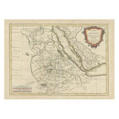
Original Antique Map of Abyssinia, Sudan and the Red Sea, 1749
About the Item
Antique map titled 'Nubie, Abissinie et Cote d'Ajan'.
Map of Abyssinia, Sudan and the Red Sea by Robert Vaugondy. Covers from Arabia and Egypt south to Mogadishu and includes parts of modern day Sudan, Ethiopia, Somalia, Yemen, and Saudi Arabia. Originates from 'Atlas Portatif Universel et Militaire'.
Artists and Engravers: Gilles Robert de Vaugondy (1688-1766), also known as Le Sieur or Monsieur Robert, and his son, Didier Robert de Vaugondy (c.1723-1786), were leading cartographers in France during the 18th century.
- Dimensions:Height: 8.67 in (22 cm)Width: 10.24 in (26 cm)Depth: 0 in (0.02 mm)
- Materials and Techniques:
- Period:1740-1749
- Date of Manufacture:1749
- Condition:Condition: Good, general age-related toning. Small defect (hole) in the middle of the image. Small split on folding line, please study image carefully.
- Seller Location:Langweer, NL
- Reference Number:
About the Seller
5.0
Platinum Seller
These expertly vetted sellers are 1stDibs' most experienced sellers and are rated highest by our customers.
Established in 2009
1stDibs seller since 2017
1,965 sales on 1stDibs
Typical response time: <1 hour
- ShippingRetrieving quote...Ships From: Langweer, Netherlands
- Return PolicyA return for this item may be initiated within 14 days of delivery.
More From This SellerView All
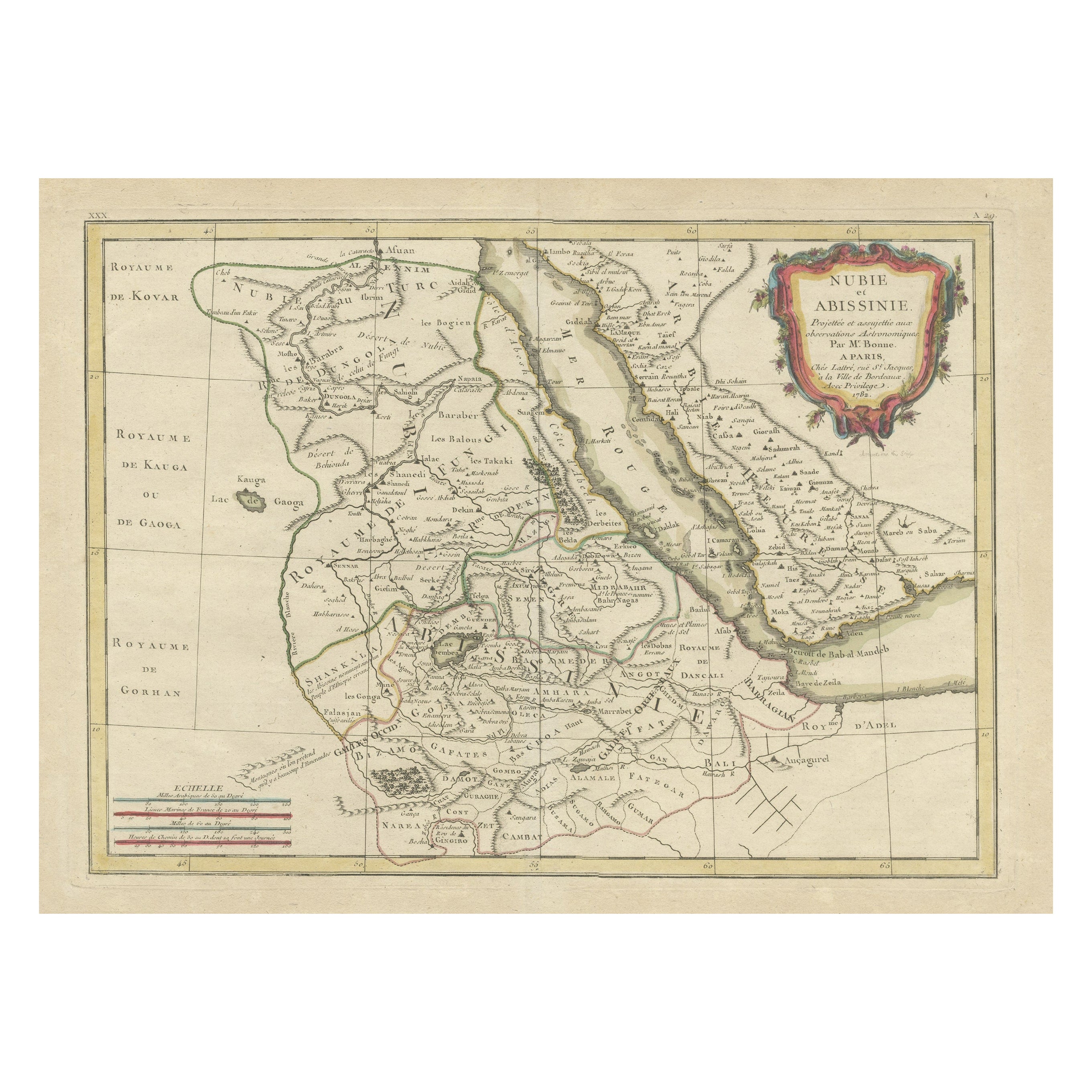
- Antique Map of Arabia including Nubia and Abyssinia, also shows the Red SeaLocated in Langweer, NLAntique map titled 'Nubie et Abissinie'. Original antique map of Nubia, a region along the Nile river, and Abyssinia or the Ethiopian Empire. This map o...Category
Antique Late 18th Century Maps
MaterialsPaper
- Original Antique Map of Arabia and the Red SeaLocated in Langweer, NLAntique map titled 'Carte de la Coste d'Arabie (..) - Kaart van de Kust van Arabië (..)'. This is a Dutch version, engraved by J. van Schley, of Bellin's map of Arabia and the Red Se...Category
Antique Mid-18th Century Maps
MaterialsPaper
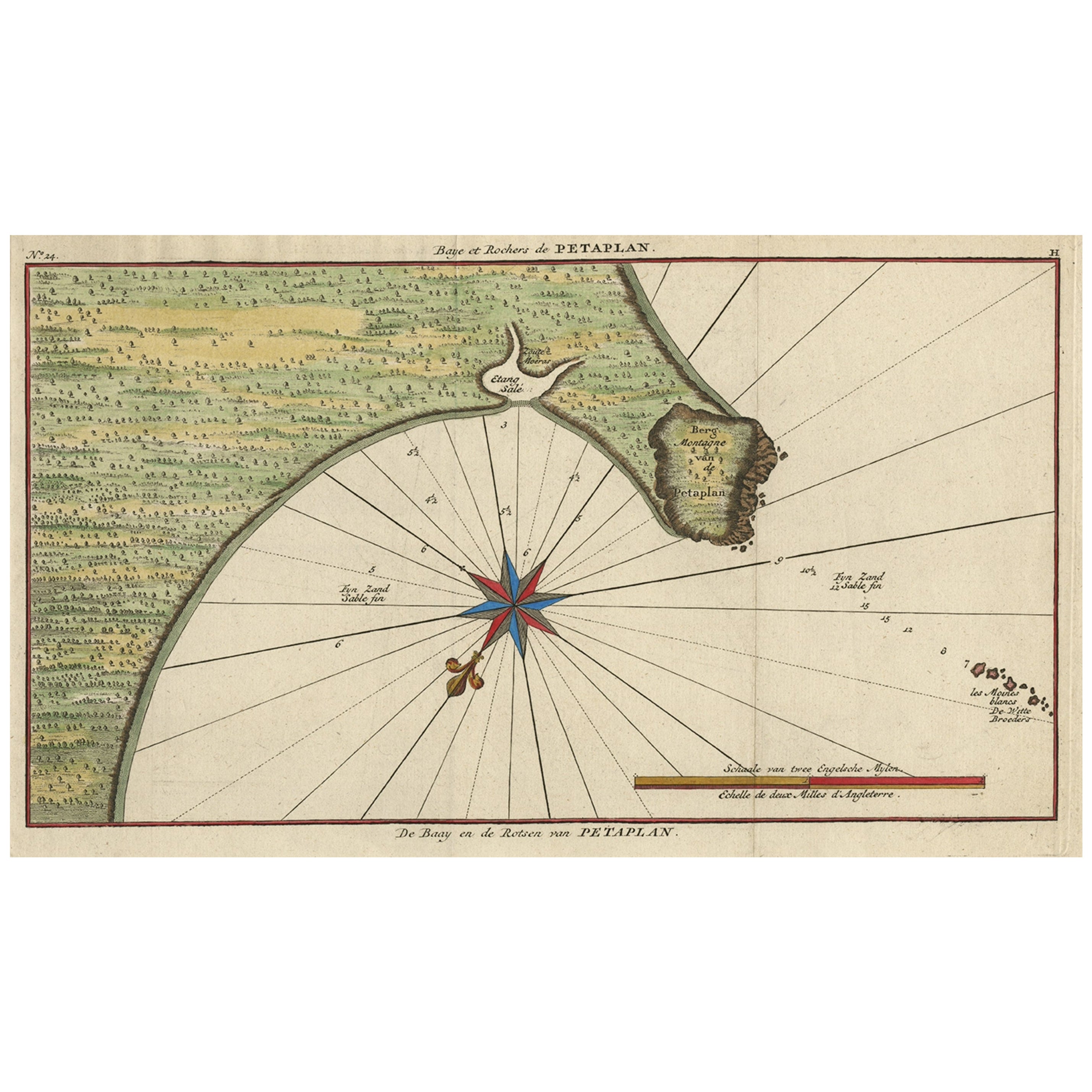
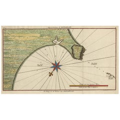
- Original Antique Map of the Bay and Rocks of Petatlan, Mexico, 1749Located in Langweer, NLAntique map titled 'Baye et Rochers de Petaplan (..) - De Baay en de Rotsen van Petaplan (..)'. Original antique map of the bay and rocks of Petatlan, Mexico. This map originates...Category
Antique 1740s Maps
MaterialsPaper
- Uncoulored Original Antique Map of Western Africa, 1749Located in Langweer, NLInteresting detailed German antique map titled 'Neue Vorstellung der Abendlaendischen Küsten von Africa (..)'. Original antique map of Western Africa. This map originates from 'Neue ...Category
Antique Mid-18th Century Maps
MaterialsPaper
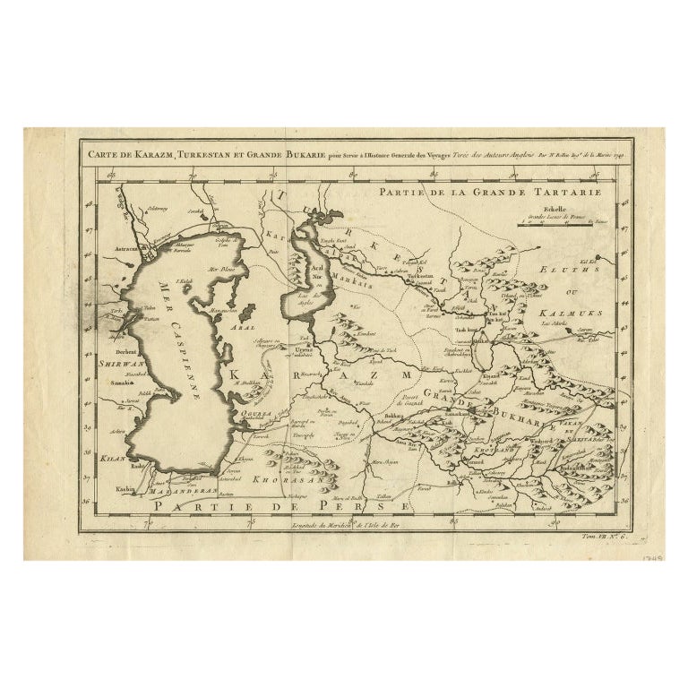
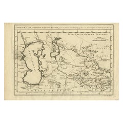
- Antique Map Centered on Turkestan, Including the Black and Caspian Seas, 1749Located in Langweer, NLAntique map titled 'Carte De Karazm, Turkestan Et Grande Bukarie'. Original antique map centered on Turkestan. Extends to include the Black and Caspian Seas...Category
Antique 18th Century Maps
MaterialsPaper
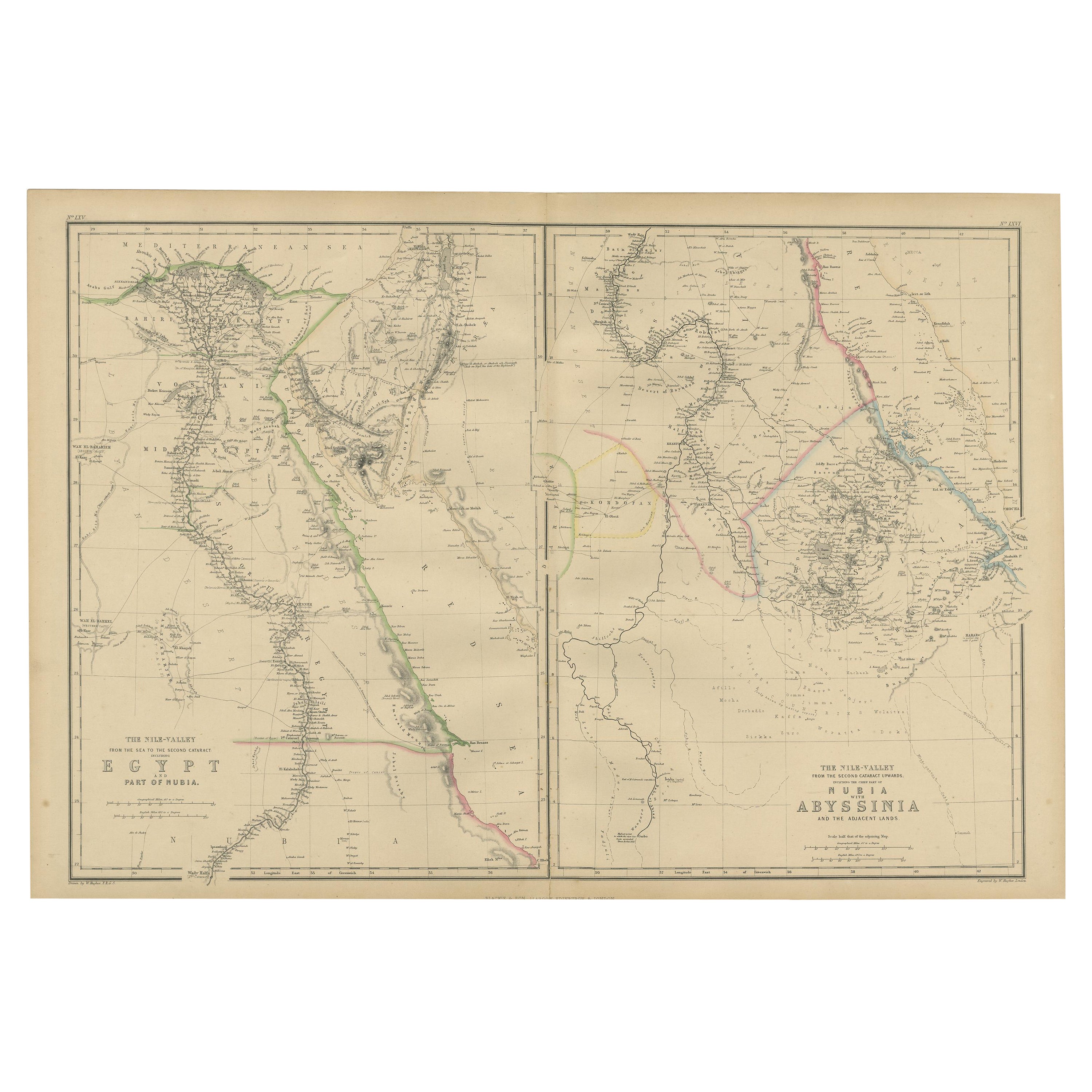
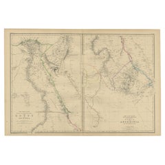
- Antique Map of Egypt and Abyssinia by W. G. Blackie, 1859Located in Langweer, NLAntique map titled 'Egypt and Abyssinia'. Original antique map of Egypt and part of Nubia and Nubia with Abyssinia. This map originates from ‘The Imperial Atlas of Modern Geography’....Category
Antique Mid-19th Century Maps
MaterialsPaper


You May Also Like
- Original Antique Map of The World by Thomas Clerk, 1817Located in St Annes, LancashireGreat map of The Eastern and Western Hemispheres On 2 sheets Copper-plate engraving Drawn and engraved by Thomas Clerk, Edinburgh. Published by Mackenzie And Dent, 1817 ...Category
Antique 1810s English Maps
MaterialsPaper
- Original Antique Map of Ireland- Tipperary and Waterford. C.1840Located in St Annes, LancashireGreat map of Tipperary and Waterford Steel engraving Drawn under the direction of A.Adlard Published by How and Parsons, C.1840 Unframed.Category
Antique 1840s English Maps
MaterialsPaper
- Original Antique Map of Spain and Portugal, circa 1790Located in St Annes, LancashireSuper map of Spain and Portugal Copper plate engraving by A. Bell Published, circa 1790. Unframed.Category
Antique 1790s English Other Maps
MaterialsPaper
- Original Antique Map of The Netherlands, Sherwood, Neely & Jones, Dated 1809Located in St Annes, LancashireGreat map of The Netherlands Copper-plate engraving by Cooper Published by Sherwood, Neely & Jones. Dated 1809 Unframed.Category
Antique Early 1800s English Maps
MaterialsPaper
- Original Antique Map of The Netherlands, Engraved by Barlow, Dated 1807Located in St Annes, LancashireGreat map of Netherlands Copper-plate engraving by Barlow Published by Brightly & Kinnersly, Bungay, Suffolk. Dated 1807 Unframed.Category
Antique Early 1800s English Maps
MaterialsPaper
- Original Antique Map of Ireland- Kerry. C.1840Located in St Annes, LancashireGreat map of Kerry Steel engraving Drawn under the direction of A.Adlard Published by How and Parsons, C.1840 Unframed.Category
Antique 1840s English Maps
MaterialsPaper


Recently Viewed
View AllMore Ways To Browse
Map Of South Of France
Saudi Arabia Furniture
Arabian Map
Map Arabia
Map Of Egypt
Antique Map Of The South Of France
Antique Egypt Map
Antique Map Egypt
Antique Map Of Egypt
Egypt Map
Map Of Arabia
Antique Saudi
South Arabian
Antique Yemen
Saudi Arabia Antique Map
Antique Caribbean Furniture
18th Century Compass
Rare Compass