Items Similar to Two Original Antique Engravings with the Dutch and German North Sea Coast, c1650
Want more images or videos?
Request additional images or videos from the seller
1 of 5
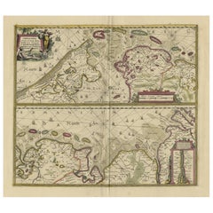
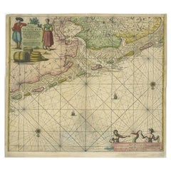
Two Original Antique Engravings with the Dutch and German North Sea Coast, c1650
About the Item
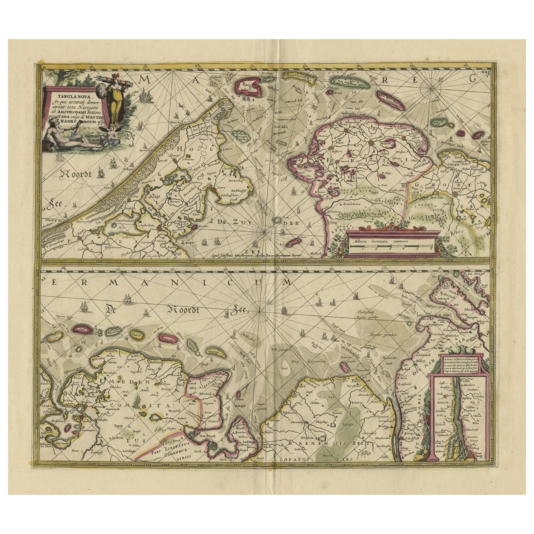
Antique map titled 'Nieuwe Caerte waerinne vertoont wordt de gantsche Vaert van Amsterdam over de Watten tot de stadt Hamborch toe'.
Two maps with the Dutch and German North Sea coast of Friesland, with West Frisian Islands and below East Frisian Islands with inset map of the Elbe around Hamburg. With title and a scale cartouche.
Artists and Engravers: Johannes Janssonius (Jansson), ( 1588- 1664) Amsterdam was born in Arnhem, the son of Jan Janszoon the Elder,a publisher and bookseller.
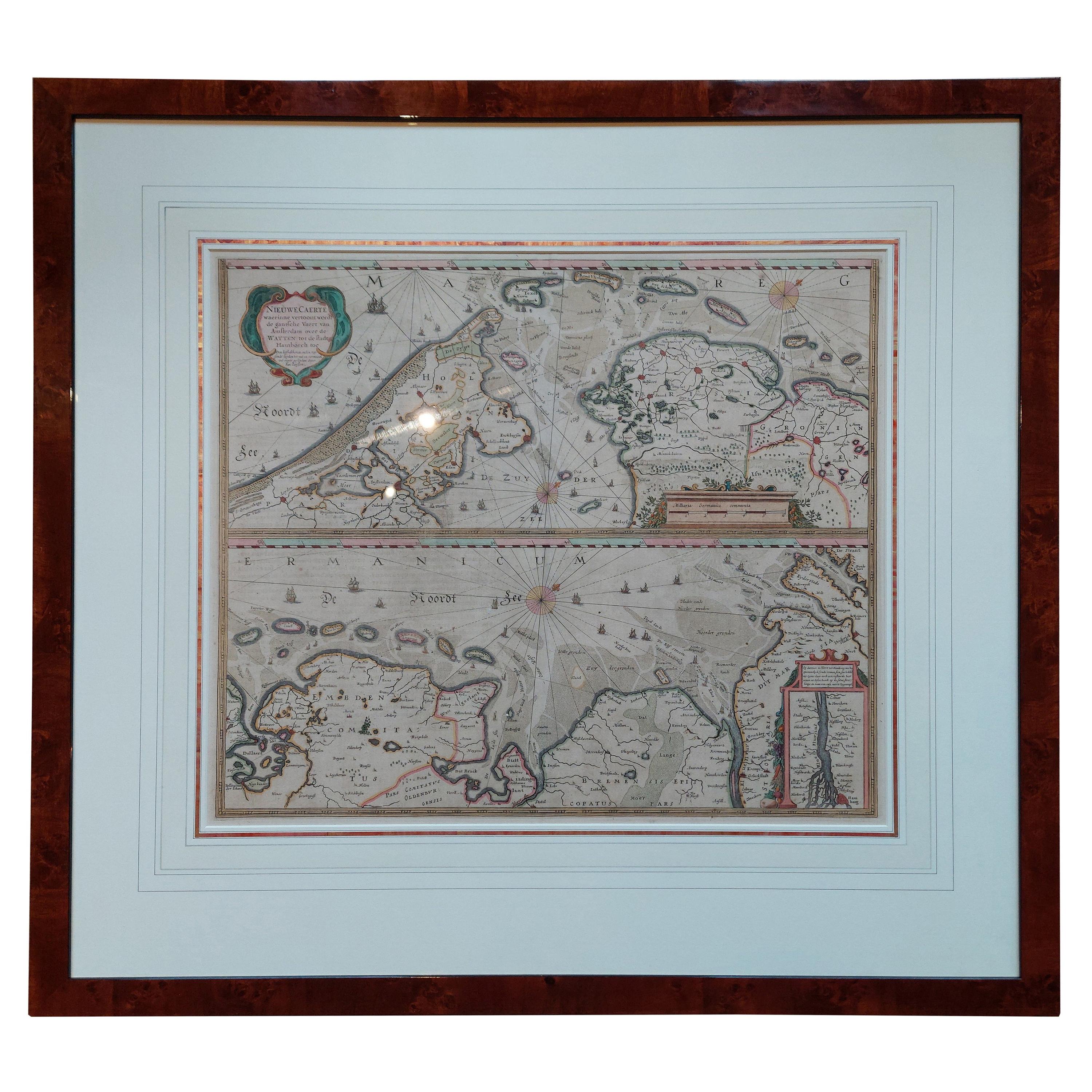
Condition: Fair, general age-related toning. Several repairs, split at bottom of the folding line. Original, contemporary hand coloring. Dutch text on verso, please study image carefully.
- Dimensions:Height: 19.69 in (50 cm)Width: 23.23 in (59 cm)Depth: 0 in (0.02 mm)
- Materials and Techniques:
- Period:1650-1659
- Date of Manufacture:ca.1650
- Condition:Repaired: archival repair tape used on the back site to strengthen the split.
- Seller Location:Langweer, NL
- Reference Number:
About the Seller
5.0
Platinum Seller
These expertly vetted sellers are 1stDibs' most experienced sellers and are rated highest by our customers.
Established in 2009
1stDibs seller since 2017
1,976 sales on 1stDibs
Typical response time: <1 hour
- ShippingRetrieving quote...Ships From: Langweer, Netherlands
- Return PolicyA return for this item may be initiated within 14 days of delivery.
More From This SellerView All
- Antique Engraving of Dutch and German North Sea Coast of Friesland, ca.1680Located in Langweer, NLAntique map titled 'Tabula Nova In qua accuratè demonstratur tota Navigatio ab Amstelodami Statione per Vada vulgo de Watten Hamburgum usq.' - Two maps with the Dutch and German North Sea coast of Friesland, with West Frisian Islands and below East Frisian Islands with inset map of the Elbe around Hamburg. With title and a scale cartouche. Map by Henricus Hondius...Category
Antique 1680s Maps
MaterialsPaper
- Antique Map of the Coast of Holland and Germany by Janssonius 'c.1650'Located in Langweer, NLAntique map titled 'Nieuwe Caerte waerinne vertoont wordt de gantsche Vaert van Amsterdam over de Watten tot de stadt Hamborch toe'. Two maps with the Dutch and German North Sea coas...Category
Antique Mid-17th Century Maps
MaterialsPaper
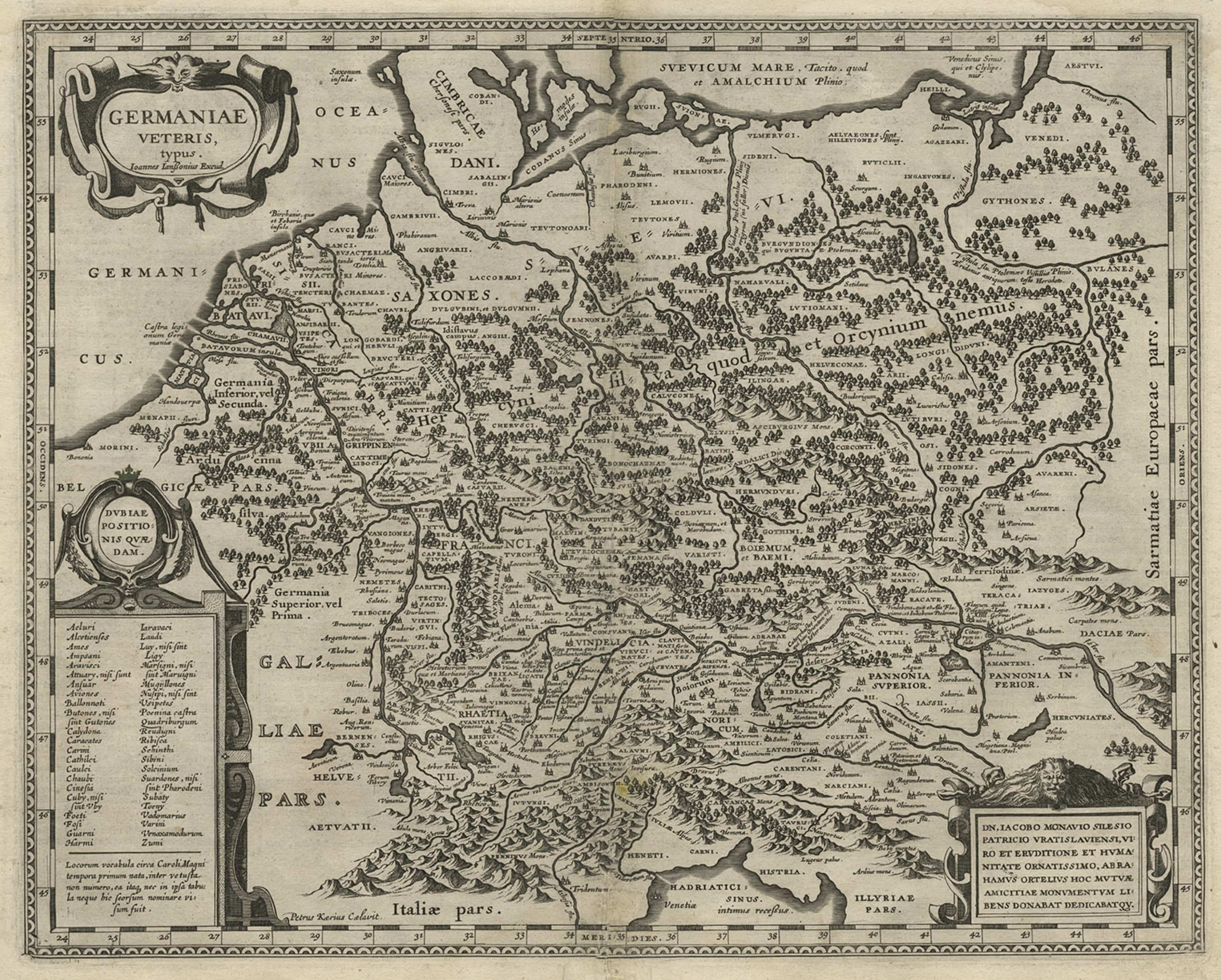
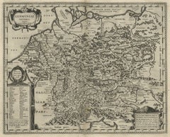
- Original Rare Antique Map of the Ancient German Empire in Northern Europe, c1650Located in Langweer, NLAntique map titled 'Germaniae Veteris typus.' Map of the ancient German Empire in Northern Europe, based upon an earlier map by Ortelius. Extends fr...Category
Antique 1650s Maps
MaterialsPaper
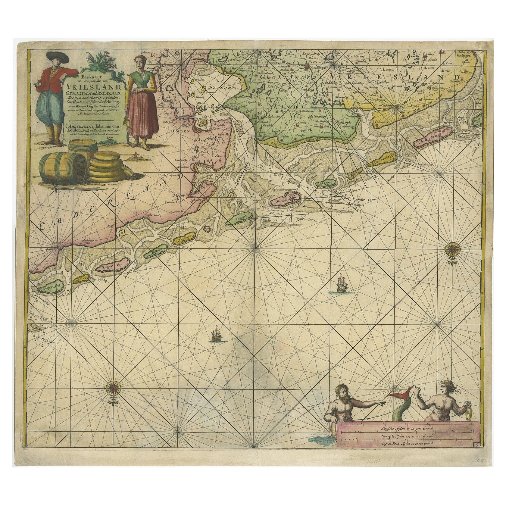
- Old Decorative & Highly Detailed Sea Chart of the North Dutch-German Coast, 1681Located in Langweer, NLAntique map titled 'Paskaart van een gedeelte van Vriesland, Groeninger, en Emderland. Met zyn onderhoorige Eylanden; Strekkende van't Eylant der Schelling'. Decorative and highl...Category
Antique 1680s Maps
MaterialsPaper
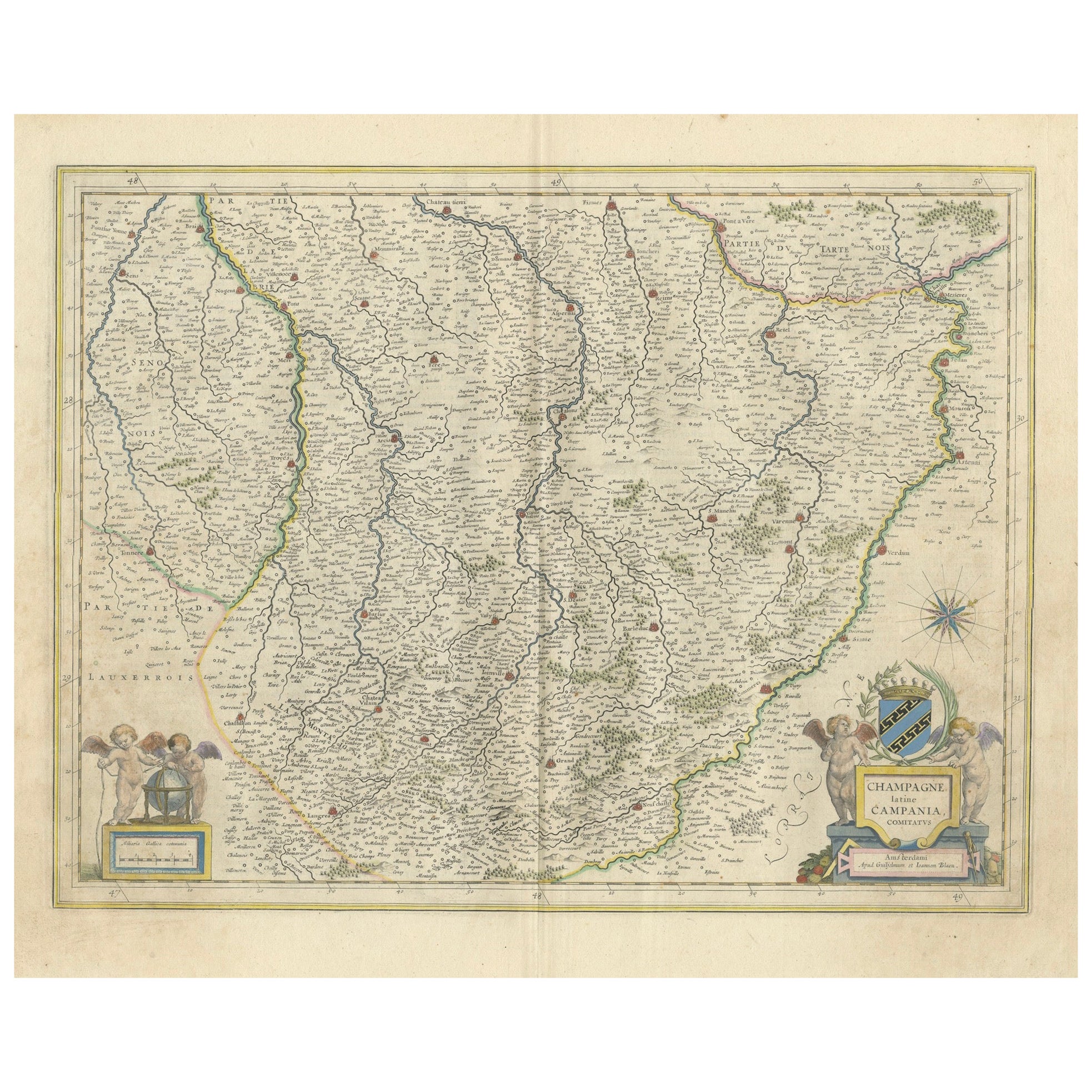
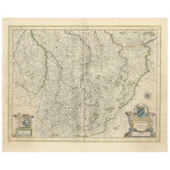
- Champagne: The Sparkling Heart of France - A Blaeu Cartographic Engraving, c1650Located in Langweer, NLAn original hand-colored antique map showing the historical region of Champagne in France, known in Latin as "Campania Comitatus". Champagne is a region that is world-renowned for ...Category
Antique 1650s Maps
MaterialsPaper
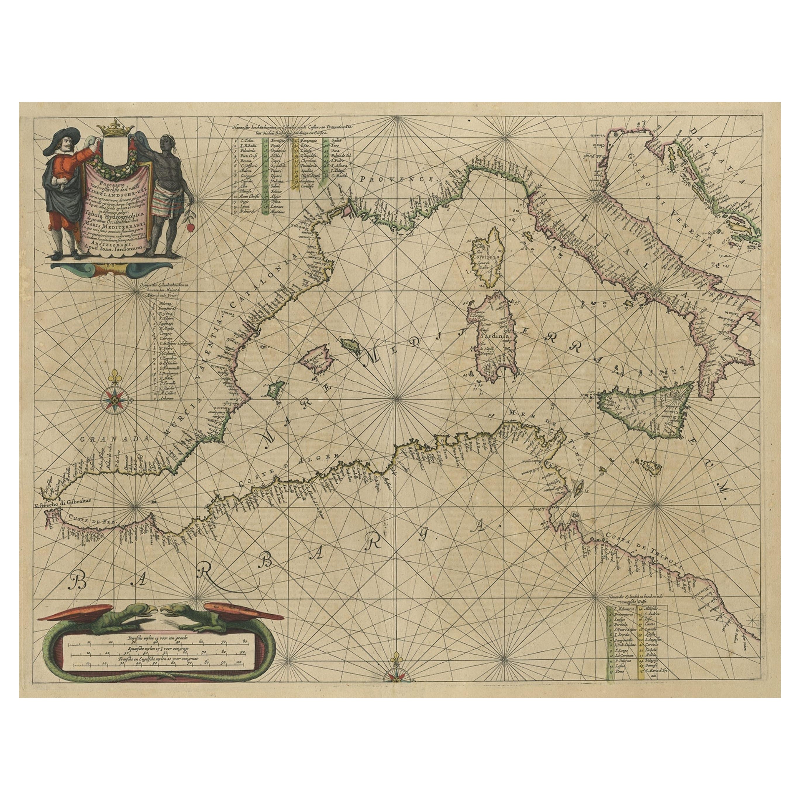
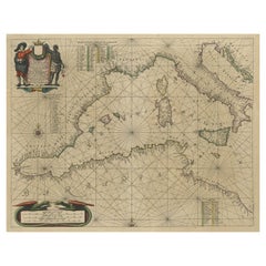
- Original Antique Engraving of a Sea Chart of the Western Mediterranean, ca.1650Located in Langweer, NLAntique map titled 'Pascaerte van 't westlyckste deel vande Middelandsche-Zee (..)'. Sea chart of the Western Mediterranean. The map extends from the Straits of Gibralter to Italy ...Category
Antique 1650s Maps
MaterialsPaper
You May Also Like
- Red Sea, The Saudi CoastBy Assouline PublishingLocated in NEW YORK, NYBordering the coastlines of eight countries, the Red Sea is a melting pot of civilizations, faiths and hopes. With unique coral reefs and diverse underwater life...Category
2010s American Books
MaterialsLinen
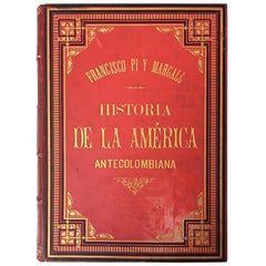
- 19th History of the Antecolombian America with Original Engravings and PicturesLocated in Miami, FLThe book it´s in Spanish. Catalan Region Beautiful handmade engravings 996 pages.Category
Antique Late 19th Century Spanish Baroque Books
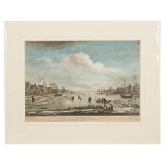
- Dutch Kolf Print, Winter, Golf EngravingLocated in Oxfordshire, GBDutch golf engraving by J. Boydell, Winter. Rare 18th century Dutch golf engraving by J. Boydell depicting Dutchman playing the early form of golf on the ice, titled 'Winter'. The s...Category
Antique 18th Century Dutch Prints
MaterialsPaper
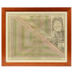
- 1731 Original German Engraving Print Chart of European Distances by T. MayerLocated in Milan, ITTabula Poliometrica Germaniae ac Praecipuorum quorundam locorum Europae Nuremberg, 1731. Author: T. Mayer; publisher: Homman. Chart printed by engraving on copper plate, coeval color...Category
Antique 1730s German Scientific Instruments
MaterialsGlass, Wood, Paper
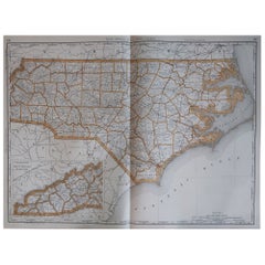
- Large Original Antique Map of North Carolina, USA, 1894By Rand McNally & Co.Located in St Annes, LancashireFabulous map of North Carolina Original color By Rand, McNally & Co. Published, 1894 Unframed Free shipping.Category
Antique 1890s American Maps
MaterialsPaper
- Original Antique English County Map, North Yorkshire, J & C Walker, 1851Located in St Annes, LancashireGreat map of North Yorkshire Original colour By J & C Walker Published by Longman, Rees, Orme, Brown & Co. 1851 Unframed.Category
Antique 1850s English Other Maps
MaterialsPaper


Recently Viewed
View AllMore Ways To Browse
Holland And Sons Furniture
Holland And Son
Holland And Sons
German Furniture Hamburg
Used Bookseller
Used Booksellers
Antique Bookseller
Antique Booksellers
Antique German Scales
Johannes Engravings
Dutch Coat Of Arms
Dutch Empire Furniture
English Country Decor
Map Of Turkey
Turkey Map
Copper Map Plate
Antique Map New England
Antique Map Of New England