Items Similar to 1859 "Colton's New Map of the State of Texas..." by Johnson & Browning


Want more images or videos?
Request additional images or videos from the seller
1 of 6
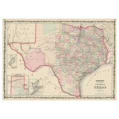
1859 "Colton's New Map of the State of Texas..." by Johnson & Browning
About the Item
Presented is "Colton's New Map of the State of Texas Compiled from De Cordova's Large Map", published in Alivin J. Johnson’s “New Illustrated Family Atlas.” The map was published in 1859, despite a plate date of 1855. This double-page map shows extensive detail throughout the settled part of the state of Texas. The western third comprises the large unsettled areas of Presidio, El Paso, Bexar, and the Staked Plain.
The map offers exceptional detail, and locates railroads, forts, post offices, roads, springs, and topographical information. Three inset maps populate the map, “Plan of the Northern Part of Texas,” “Plan of Galveston Bay from the U.S. Coast Survey,” and “Plan of Sabine Lake.” The map is surrounded by Colton's decorative scroll borders.
Alvin J. Johnson came to New York City in 1857 and worked for J. H. Colton as a book canvasser, selling maps and atlases for the well-known map and atlas publisher. In 1859, Colton’s “General Atlas” was published by the firm of Johnson & Browning, and within the year, Johnson published the first edition of his own atlas, titled “Johnson’s New Illustrated (Steel Plate) Family Atlas, With Descriptions Geographical, Statistical and Historical.” The early editions of the “Family Atlas” were comprised of maps developed by the Colton firm, and their title pages announce that the publishers, Johnson & Browning, are “formerly successors to J.H. Colton and Company.” However, rather than successor, Johnson became a competitor of the Colton firm, and the “Family Atlas” became a competitor to the atlases of both Colton and S. Augustus Mitchell.
CONDITION:
Very good condition. Full later color, still vibrant and bright. A 7" centerfold separation at the bottom has been closed on verso with archival paper tape. There is light scattered foxing and a couple of short edge tears confined to the side margins that have been closed on verso with archival tape by the previous owner.
Map has been artfully and archival presented with acid-free matting and backing, a brushed gold beaded spandrel, an olive linen top mat, UV Conservation Clear glass, and a custom-built black and brushed gold wooden frame.
Framed Dimensions: 27 3/4" H x 38 1/2" W x 1 3/8" D.
- Dimensions:Height: 27.75 in (70.49 cm)Width: 38.5 in (97.79 cm)Depth: 1.38 in (3.51 cm)
- Materials and Techniques:Paper,Engraved
- Place of Origin:
- Period:
- Date of Manufacture:1859
- Condition:Additions or alterations made to the original: Framed by Art Source International, in Boulder, Colorado in April of 2022. Wear consistent with age and use. Minor structural damages.
- Seller Location:Colorado Springs, CO
- Reference Number:
About the Seller
4.9
Platinum Seller
These expertly vetted sellers are 1stDibs' most experienced sellers and are rated highest by our customers.
Established in 2010
1stDibs seller since 2011
409 sales on 1stDibs
Typical response time: <1 hour
- ShippingRetrieving quote...Ships From: Colorado Springs, CO
- Return PolicyA return for this item may be initiated within 10 days of delivery.
More From This SellerView All
- 1859 "Map of the United States of America..." by J. H. ColtonBy J.H. ColtonLocated in Colorado Springs, COPresented is an 1859 “Map of the United States of America, the British Provinces, Mexico, the West Indies and Central America with Part of...Category
Antique 1850s American Maps
MaterialsPaper
- 1908 "Map of Texas" by The Kenyon CompanyLocated in Colorado Springs, COPresented is an antique map of the state of Texas, printed as a pocket map in 1908 by The Kenyon Company. The state map is brightly colored by county, with principal cities and towns listed. The congressional districts are numbered and boldly outlined in red. Rivers, roads, and railroads all appear prominently on this fantastic map...Category
Antique Early 1900s American Maps
MaterialsPaper
- 1837 Mitchell's "Tourist's Pocket Map of the State of Virginia" by J.H. YoungLocated in Colorado Springs, COThis is J. H. Young's pocket map of the Virginia, which shows county development current to 1835. The map was engraved by E. Yeager and F. Dankworth and published by S. A. Mitchell. ...Category
Antique 1830s American Maps
MaterialsPaper
- 1865 "Johnson's Missouri and Kansas" Map by Johnson and WardLocated in Colorado Springs, COPresented is an original 1865 "Johnson's Missouri and Kansas” map. This map was issued as pages 59 and 60 in the 1865 edition of “Johnson's New Illustrated ...Category
Antique Mid-19th Century Maps
MaterialsPaper
- 1865 "Johnson's California, Utah, Nevada, Colorado, New Mexico, Arizona" MapLocated in Colorado Springs, COPresented is an original 1865 "Johnson's California, with Territories of Utah, Nevada, Colorado, New Mexico, and Arizona” map. First published in 1864, thi...Category
Antique Mid-19th Century Maps
MaterialsPaper
- 1863 "Lloyd's New Map of the United States, the Canadas, and New Brunswick"Located in Colorado Springs, COPresented is “Lloyd's New Map of the United States, the Canadas and New Brunswick, From the latest Surveys, Showing Every Railroad & Station Finished to June 1863, and the Atlantic and Gulf Coasts.” A large, Civil War-era hanging map of the United States and adjacent territories, this map covers the area from the Atlantic Ocean and extends as far west as the 103 meridian, to “Dacotah,” Nebraska, Kansas, "Indian Territory," and Texas. The southern continuation of Florida is shown in an inset map along the right margin. This map was published by J. T. Lloyd, in New York, in 1863. According to the publisher’s marking at lower right, this map was originally issued in two states: "in Sheets, Colored" for 50 cents, and "Varnished nicely, with Rollers" for $1. Throughout the map, the counties are colored and the towns and cities well labeled. A reference key in the bottom margin provides symbols for railroads, turnpikes and wagon roads, state capitals, cities and towns, and village post offices. As emphasized in the map’s title, this map is especially notable for the countless railway lines and stations depicted, with distances noted between points, listing “every railroad and finished station to June 1863.” Additionally, two shipping agents and their routes are drawn out of New York City. The map includes details of the steamship routes into New York and Philadelphia from Liverpool and on to California and Oregon via an overland Nicaraguan trek, presumably to assist gold rush emigrants. This expansive and impressive map depicts the eastern half of the United States in the third year of the Civil War. In order not to recognize the legitimacy of the Confederate States of America, each state is shown in the same manner as the Union states. The only indication that the American Civil War was in progress when this map was published is a printed notice that Gideon Wells, Secretary of the Navy, wishes to acquire a quote on 100 copies of Lloyd’s Mississippi River map...Category
Antique 1860s American Maps
MaterialsLinen, Wood, Paper


You May Also Like
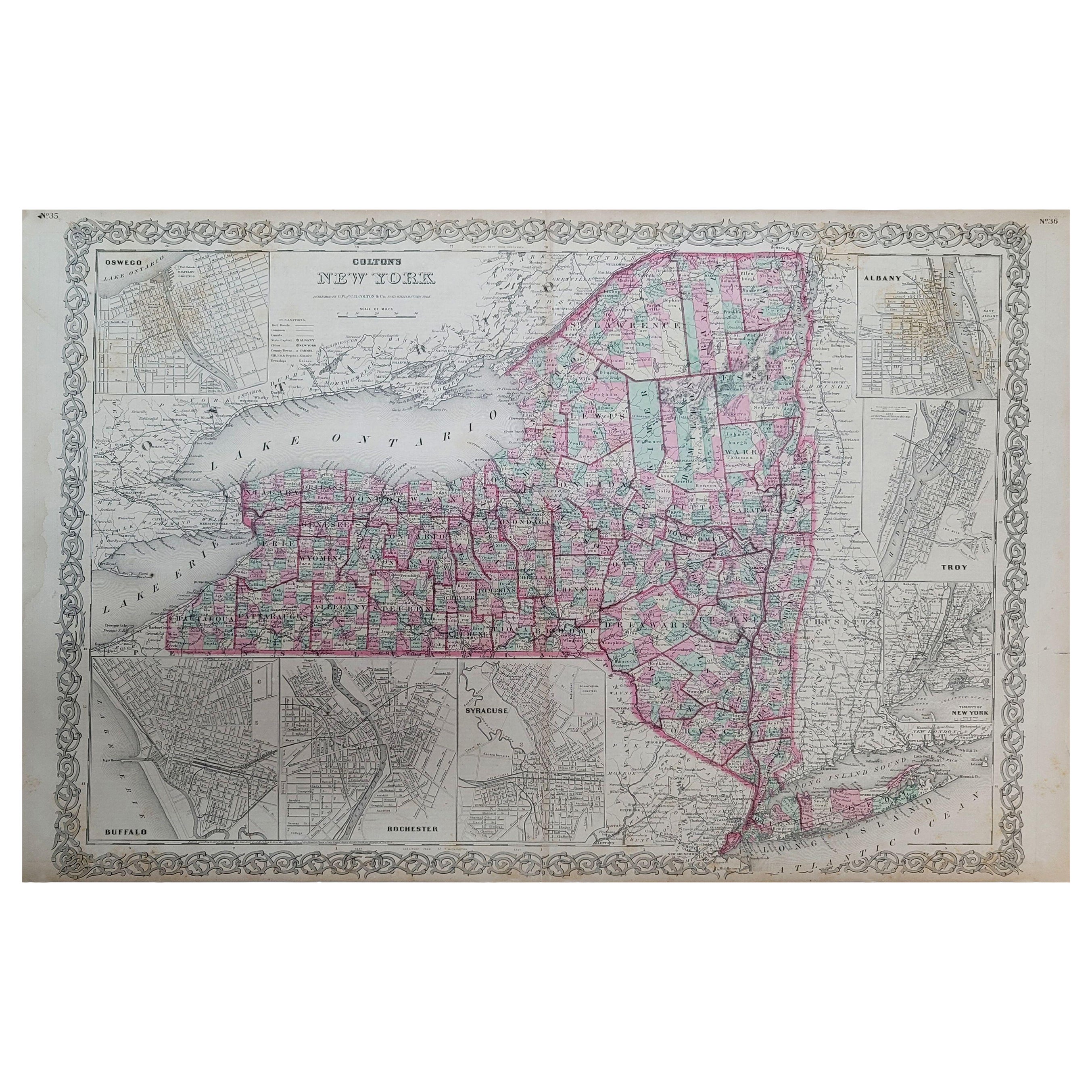
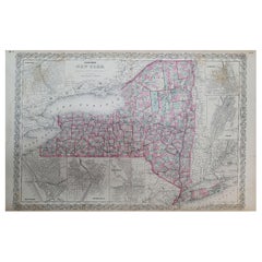
- 1858 Colton's Map of New York, Ric.B011Located in Norton, MAAn 1858 Colton's map of New York Ric.b011 Colton’s New York, 1858 - A large original color engraved and very detailed map of the state of New York,...Category
Antique 19th Century Unknown Maps
MaterialsPaper
- Antique Map Colton's United States of AmericaLocated in Langweer, NLAntique map titled 'Colton's United States of America'. Show railroads, canals, state capitals, major cities and towns, military posts, historic trails, Pony Express and U.S. mail routes; Dakota [Territory] extending deep into Nebraska, and Idaho [Territory] encompassing [modern day] Montana and Wyoming; Indian Territory...Category
Antique Mid-19th Century Maps
MaterialsPaper
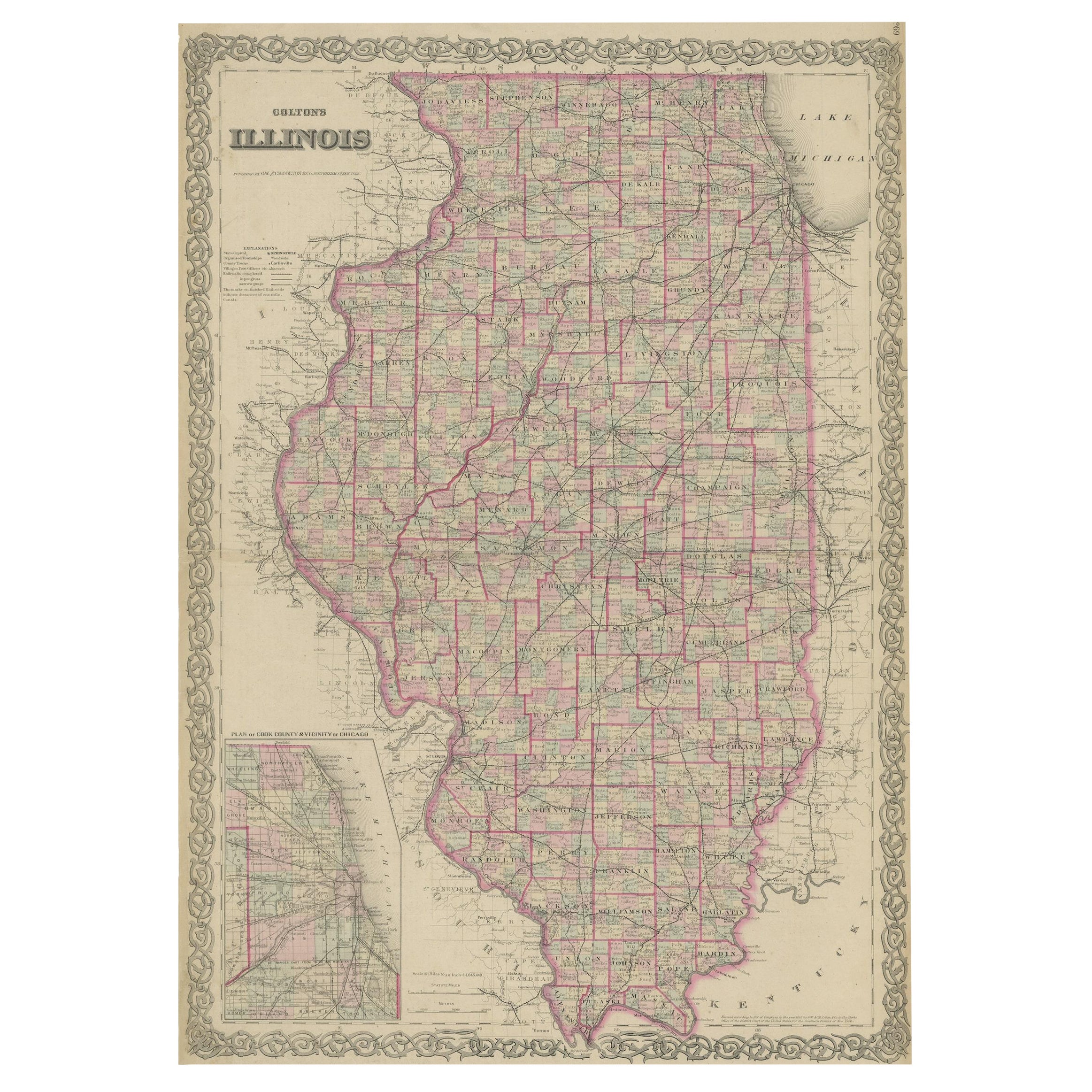
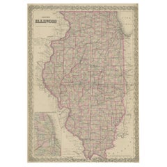
- Colton's Map of Illinois, with an Inset of ChicagoLocated in Langweer, NLAntique map titled 'Colton's Illinois'. Antique map of Illinois, a state in the Midwestern United States. With an inset map of of Cook County &...Category
Antique Mid-19th Century Maps
MaterialsPaper
- Large Antique Map of the State of Texas, 1861Located in Langweer, NLAntique map titled 'Johnson's New Map of the State of Texas' Large map of Texas, shows railroads, wagon roads, the U.S. Mail Route, rivers, ports, ...Category
Antique Mid-19th Century Maps
MaterialsPaper
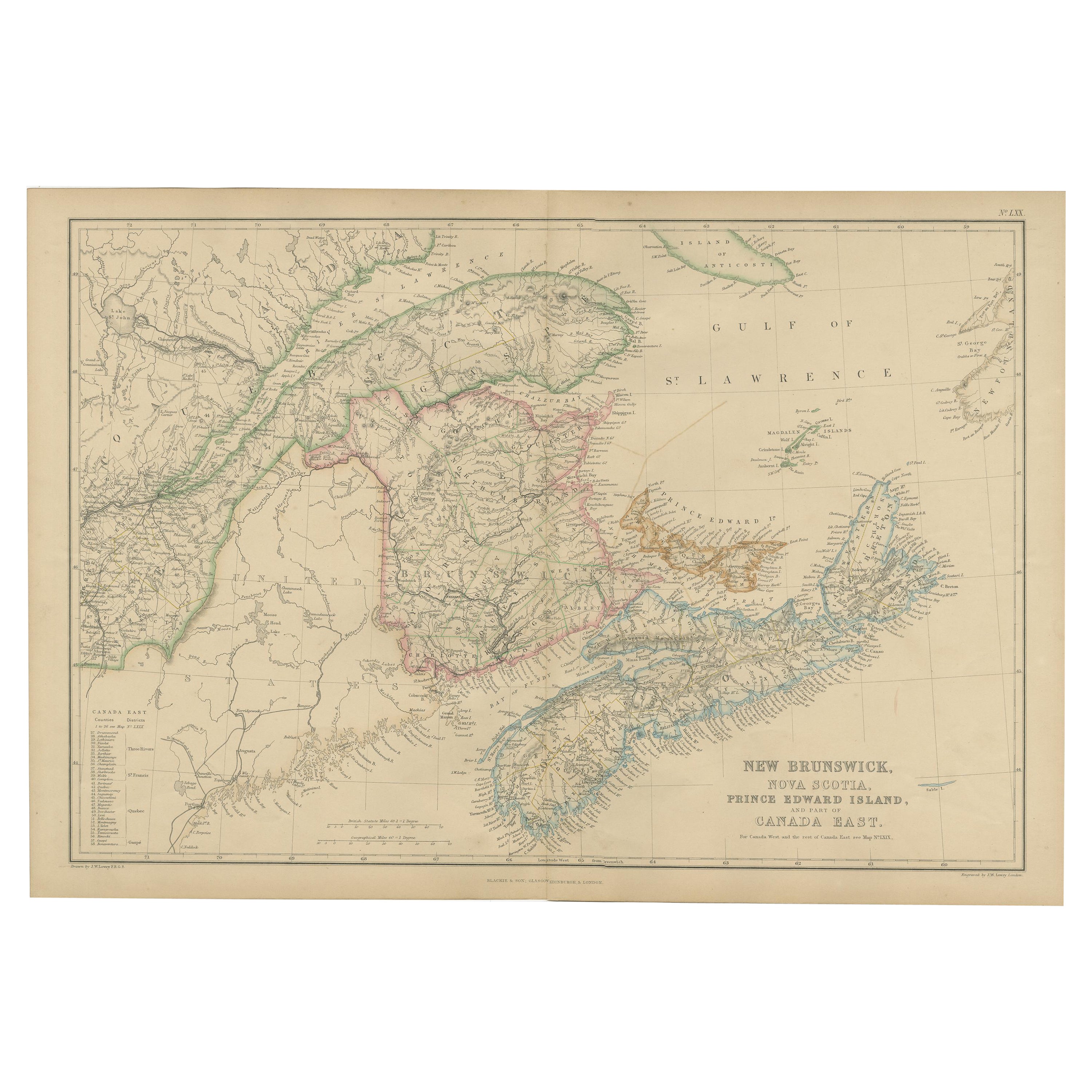
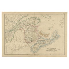
- Antique Map of New Brunswick by W. G. Blackie, 1859Located in Langweer, NLAntique map titled 'New Brunswick, Nova Scotia, Prince Edward Island and Part of Canada east'. Original antique map of New Brunswick, Nova Scotia,...Category
Antique Mid-19th Century Maps
MaterialsPaper
- Antique Map of New York by Johnson '1872'Located in Langweer, NLAntique map titled 'Johnson's New York'. Original map showing New York, with an inset map of Long Island. This map originates from 'Johnson's New Il...Category
Antique Late 19th Century Maps
MaterialsPaper


Recently Viewed
View AllMore Ways To Browse
Gold Stater
Texan Furniture
Texas Furniture
Used Furniture In Texas
Antique Furniture New York City
Antique Texas Furniture
Texas Antique Furniture
Antique Furniture In Texas
Early Texas Furniture
Brushed Antique Gold
A J Johnson
Staked Furniture
Antique Olive Black
Antique Wooden Beads
Texas Maps
Map Of Texas
H J Johnson
Alvin Antique