Items Similar to Antique Chart of the Banda Islands or The Spice Islands, Indonesia, 1726


Want more images or videos?
Request additional images or videos from the seller
1 of 6
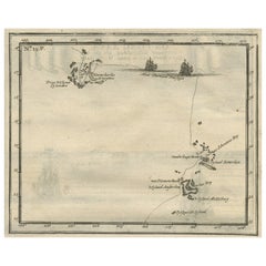
Antique Chart of the Banda Islands or The Spice Islands, Indonesia, 1726
About the Item
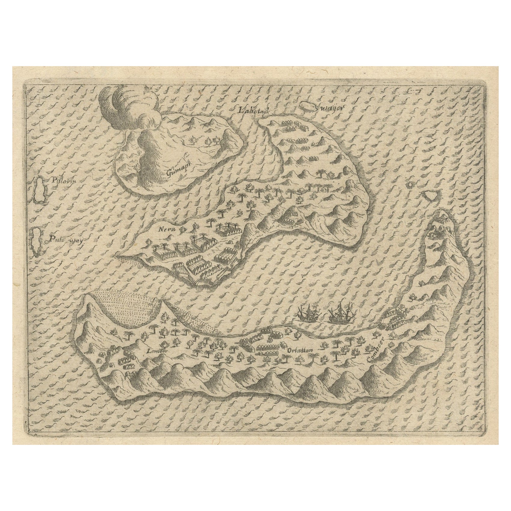
Antique map titled 'Nieuwe Caart der Eylanden van Banda'.
Beautiful chart of the Banda Islands including Banda Api, Banda Neira, Banda Besar, Pulau Hatta (Rosengain), Pulau Ai and Pulau Run. This print originates from 'Oud en Nieuw Oost-Indiën' by F. Valentijn.
Artists and engravers: François Valentijn (1666-1727), a missionary, worked at Amboina from 1684 to 1694 and 1705 to 1713 and travelled extensively in the VOC's lands.
- Dimensions:Height: 13.39 in (34 cm)Width: 15.75 in (40 cm)Depth: 0 in (0.02 mm)
- Materials and Techniques:
- Period:1720-1729
- Date of Manufacture:1726
- Condition:Wear consistent with age and use. Condition: Good, general age-related toning. Small worm hole in lower part of the folding line and very tight on the margins. Please study image carefully.
- Seller Location:Langweer, NL
- Reference Number:
About the Seller
5.0
Platinum Seller
These expertly vetted sellers are 1stDibs' most experienced sellers and are rated highest by our customers.
Established in 2009
1stDibs seller since 2017
1,965 sales on 1stDibs
Typical response time: <1 hour
- ShippingRetrieving quote...Ships From: Langweer, Netherlands
- Return PolicyA return for this item may be initiated within 14 days of delivery.
More From This SellerView All
- Original Antique Map Southeast of the Banda or Spice Islands, Indonesia, 1726Located in Langweer, NLAntique map titled 'Kaart van de Zuyd-Ooster Eylanden van Banda'. Map of the southeastern part of the Banda islands. This map originates from 'Oud en Nieuw Oost-Indiën' by F. Valen...Category
Antique 1720s Maps
MaterialsPaper
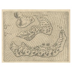
- Rare Antique Pap Depicting the Banda Islands or Spice Islands, Indonesia, c.1600Located in Langweer, NLAntique map Indonesia titled 'Bandae Insulae designatio'. Antique map depicting the Banda Islands, Indonesia. With Latin text, blank verso. Orig...Category
Antique Early 1600s Maps
MaterialsPaper
- Antique Map of the Banda Islands in Indonesia by Valentijn, 1726Located in Langweer, NLAntique map Indonesia titled 'Kaart der Zuyd-Wester Eylanden van Banda'. Map of the islands in the southwestern part of the Banda Sea including ...Category
Antique Mid-18th Century Maps
MaterialsPaper
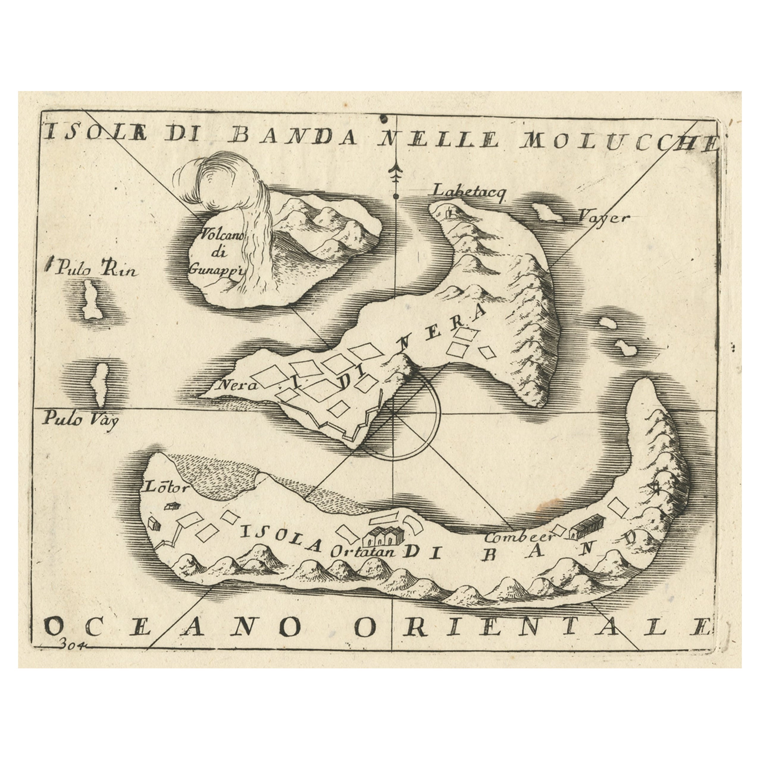
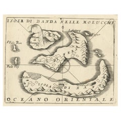
- Small Old Map Depicting the Banda Islands or the Spice Islands, Indonesia, 1706Located in Langweer, NLAntique map titled 'Isole di Banda Nelle Molucche'. Small old map depicting the Banda Islands, Indonesia. Artists and Engravers: Published by V.M. Coronelli in Venice, 1706.Category
Antique Early 1700s Maps
MaterialsPaper
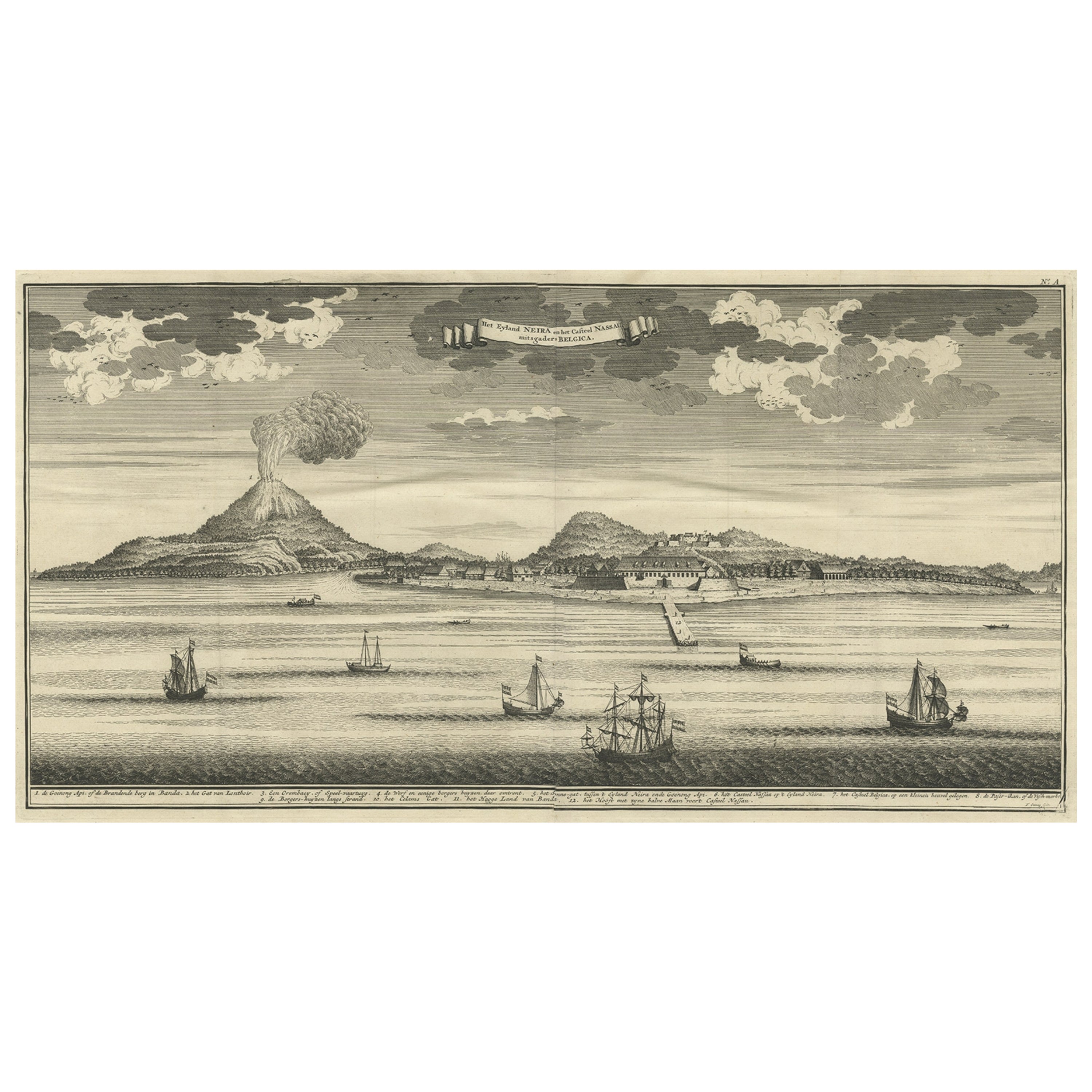
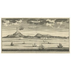
- Beautiful Old View of Spice Island Banda Neira with Fort Nassau, Indonesia, 1726Located in Langweer, NLAntique print titled 'Het Eyland Neira, en het Casteel Nassau mitsgaders Belgica'. Beautiful view of Banda Neira with Fort Nassau, Indonesia. This print originates from 'Oud en Nie...Category
Antique 1720s Maps
MaterialsPaper
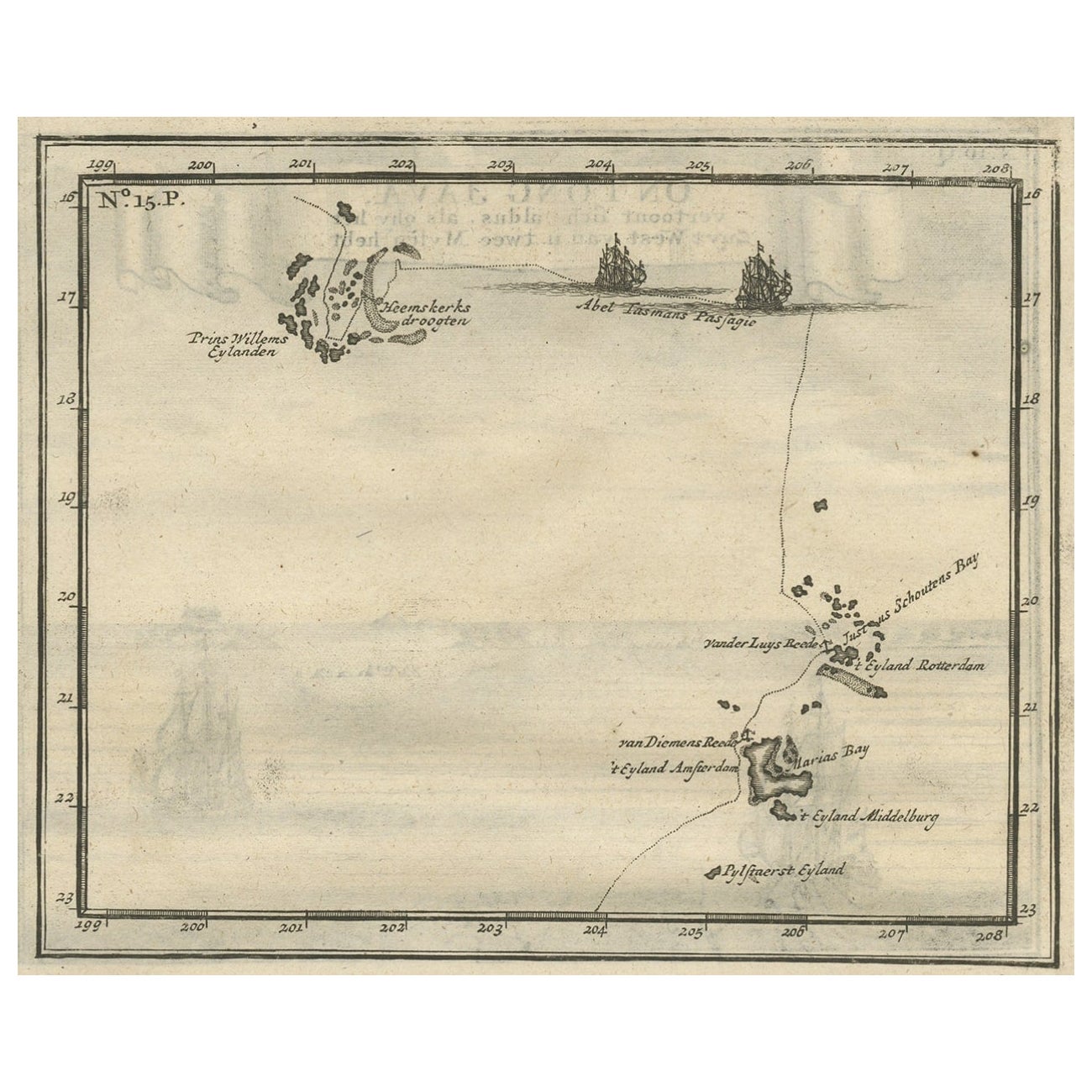
- Antique Map of the Banda Islands and the Route of Abel Tasman, Indonesia, 1726Located in Langweer, NLAntique print Indonesia with an image on each side. The first image depicts Ontong Java, one of the largest atolls on earth. On verso: antique map of the Banda Islands. With the rout...Category
Antique 1720s Maps
MaterialsPaper


You May Also Like
- Antique Anatomical Wall Chart Depicting the Human SkeletonLocated in Berghuelen, DEA rare 19th century anatomical wall chart depicting the human skeleton. On the sides On the sides are detailed description in German language. The wall...Category
Early 20th Century German Victorian Prints
MaterialsPaper
- 1865 Chart of the Islands of MadeiraLocated in Norwell, MARare James Imray chart from 1865 titled "Chart of the Islands of Madeira, Porto Santo and Dezerea" drawn from the survey made by Captain Ate Vidal Royal Navy, London. Published by Ja...Category
Antique 1860s European Maps
MaterialsPaper
- Antique Foldable Anatomical Wall Chart Depicting Human MusculatureLocated in Berghuelen, DEAntique Foldable Anatomical Wall Chart Depicting Human Musculature The rare 19th century anatomical wall chart depicts the human musculature and inter...Category
Early 20th Century German Victorian Prints
MaterialsWood, Paper
- Anatomical Wall Chart Depicting the Human Lymphatic and Blood VesselsLocated in Berghuelen, DEA rare 19-carat anatomical wall chart depicting the human lymphatic and blood vessels. On the sides with detailed description in German language. Print...Category
Early 20th Century German Victorian Prints
MaterialsPaper
- Hand-Colored 18th Century Homann Map of Denmark and Islands in the Baltic SeaBy Johann Baptist HomannLocated in Alamo, CAAn 18th century copper plate hand-colored map entitled "Insulae Danicae in Mari Balthico Sitae utpote Zeelandia, Fionia, Langelandia, Lalandia, Falstria, Fembria Mona" created by Joh...Category
Antique Early 18th Century German Maps
MaterialsPaper
- Genito-Urinary Anatomical Chart Fritz FrohseBy Nystrom / Frohse Art, Fritz FrohseLocated in Philadelphia, PAGenito-Urinary Anatomical Chart by Fritz Frohse. Dated 1922. Paper mounted on canvas. Shows wear but still presents very well!Category
Vintage 1920s German American Classical Prints
MaterialsCanvas, Paper


