Items Similar to Antique Map of Africa by Levasseur 'c.1840'


Want more images or videos?
Request additional images or videos from the seller
1 of 7
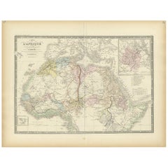
Antique Map of Africa by Levasseur 'c.1840'
About the Item
Antique map titled 'Afrique'. Original antique map of Africa. Decorative map of the continent surrounded by allegorical vignettes. Engraved by Raimond Bonheur, father of the famous French artist Rosa Bonheur. This map originates from 'Atlas National (..)' by V. Levasseur. Published circa 1840.
- Dimensions:Height: 22.84 in (58 cm)Width: 30.52 in (77.5 cm)Depth: 1.19 in (3 cm)
- Materials and Techniques:
- Period:
- Date of Manufacture:circa 1840
- Condition:Beautiful map with hand coloring. Frame included, good condition. Please study images carefully.
- Seller Location:Langweer, NL
- Reference Number:
About the Seller
5.0
Platinum Seller
These expertly vetted sellers are 1stDibs' most experienced sellers and are rated highest by our customers.
Established in 2009
1stDibs seller since 2017
1,973 sales on 1stDibs
Typical response time: <1 hour
- ShippingRetrieving quote...Ships From: Langweer, Netherlands
- Return PolicyA return for this item may be initiated within 14 days of delivery.
More From This SellerView All
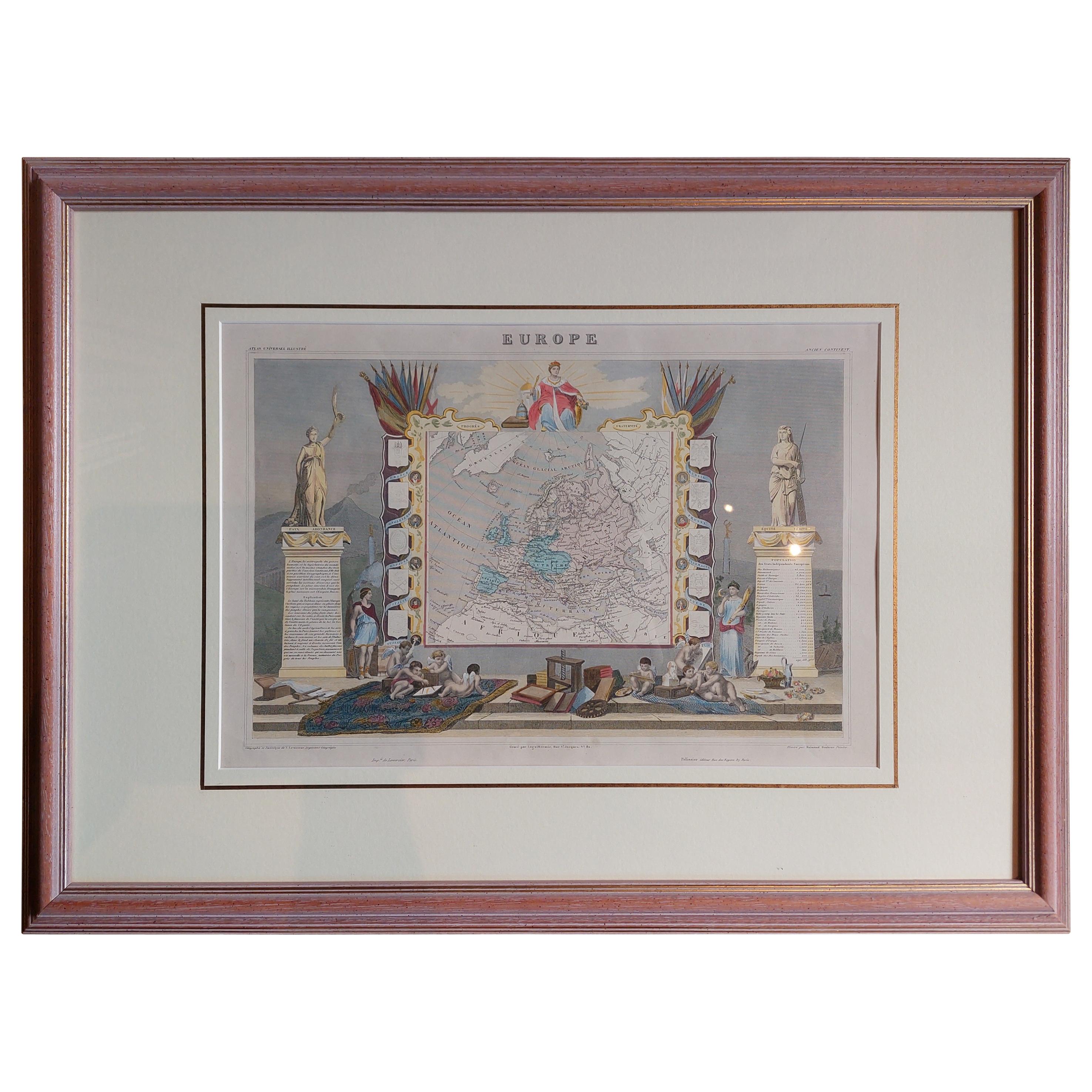
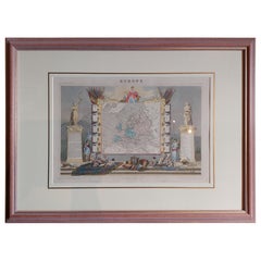
- Antique Map of Europe by Levasseur 'c.1840'Located in Langweer, NLAntique map titled 'Europe'. Original antique map of Europe. Decorative map of the continent surrounded by allegorical vignettes. Engraved by Raimond Bonheur, father of the famous Fr...Category
Antique Mid-19th Century Maps
MaterialsPaper
- Antique Map of Northern Africa by Levasseur, '1875'Located in Langweer, NLAntique map titled 'Carte de l'Afrique Septentrionale'. Large map of Northern Africa. This map originates from 'Atlas de Géographie Moderne Physique et...Category
Antique Late 19th Century Maps
MaterialsPaper
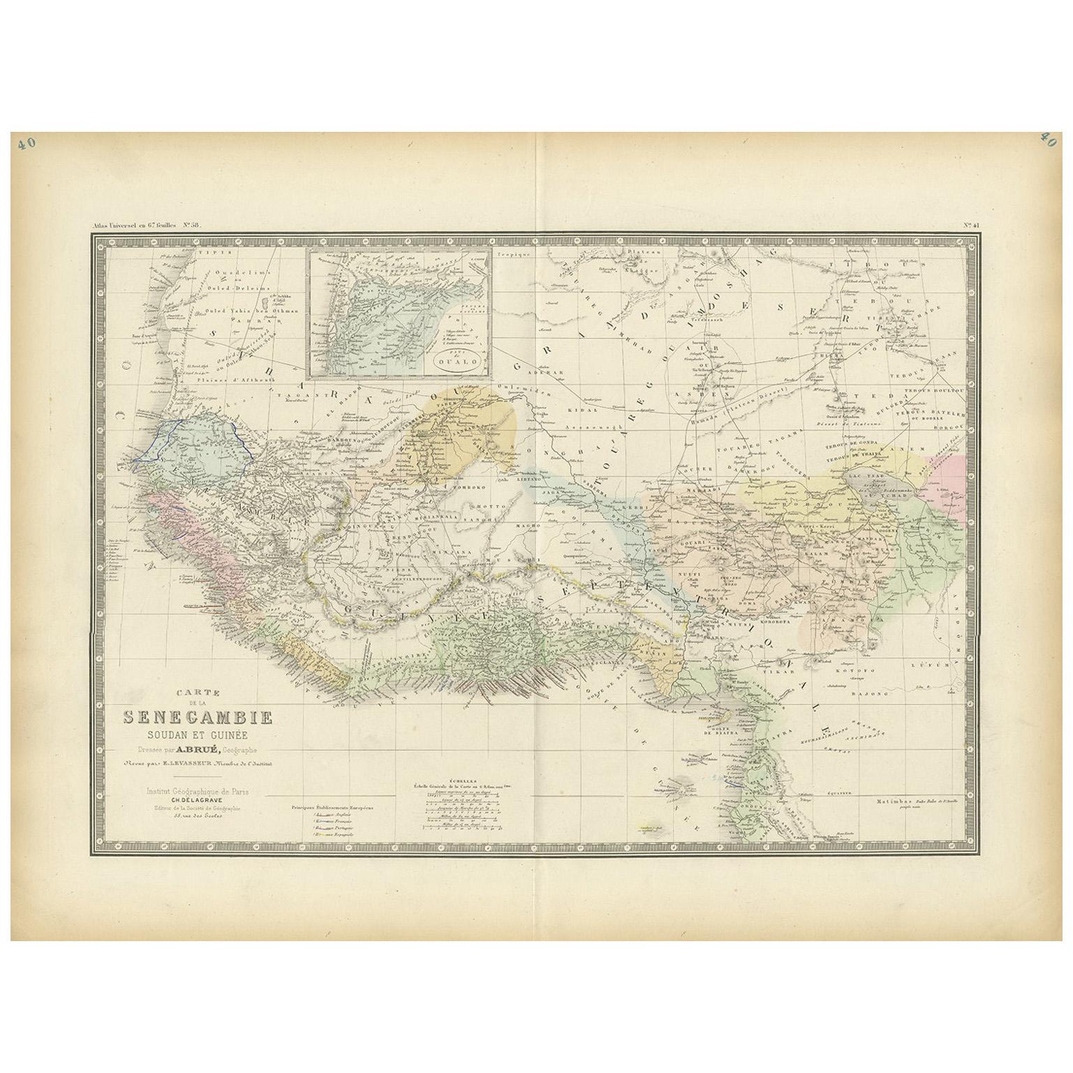
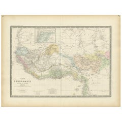
- Antique Map of Western Africa by Levasseur '1875'Located in Langweer, NLAntique map titled 'Carte de la Senegambie Soudan et Guinée'. Large map of Western Africa. This map originates from 'Atlas de Géographie Moderne Physique et Politique' by A. Levasseu...Category
Antique Late 19th Century Maps
MaterialsPaper
- Antique Map of Southern Africa by Levasseur, 1875Located in Langweer, NLAntique map titled 'Afrique Méridionale'. Large map of Southern Africa. This map originates from 'Atlas de Géographie Moderne Physique et Politique' b...Category
Antique Late 19th Century Maps
MaterialsPaper
- Antique Map of Oceania by Levasseur, '1875'Located in Langweer, NLAntique map titled 'Carte générale de l'Océanie'. Large map of Oceania. This map originates from 'Atlas de Géographie Moderne Physique et Politique' by A. Levasseur. Published 1875.Category
Antique Late 19th Century Maps
MaterialsPaper
- Antique Map of Siberia by Levasseur '1875'Located in Langweer, NLAntique map titled 'Carte de la Russie d'Asie Sibérie'. Large map of Siberia. This map originates from 'Atlas de Géographie Moderne Physique et Politique' by A. Levasseur. Published ...Category
Antique Late 19th Century Maps
MaterialsPaper


You May Also Like
- Original Antique Map of Ireland- Kerry. C.1840Located in St Annes, LancashireGreat map of Kerry Steel engraving Drawn under the direction of A.Adlard Published by How and Parsons, C.1840 Unframed.Category
Antique 1840s English Maps
MaterialsPaper
- Original Antique Map of South East Asia by Becker, circa 1840Located in St Annes, LancashireGreat map of South East Asia Steel engraving with original color outline Engraved by Becker Published by Virtue, circa 1840. Unframed.Category
Antique 1840s English Other Maps
MaterialsPaper
- Original Antique Map of Ireland- Tipperary and Waterford. C.1840Located in St Annes, LancashireGreat map of Tipperary and Waterford Steel engraving Drawn under the direction of A.Adlard Published by How and Parsons, C.1840 Unframed.Category
Antique 1840s English Maps
MaterialsPaper
- Original Antique Map of South Africa, Arrowsmith, 1820Located in St Annes, LancashireGreat map of South Africa. Drawn under the direction of Arrowsmith. Copper-plate engraving. Published by Longman, Hurst, Rees, Orme and Br...Category
Antique 1820s English Maps
MaterialsPaper
- "Africae Accurata", a Hand-Colored 17th Century Map of Africa by VisscherBy Nicolaes Visscher IILocated in Alamo, CAAn 18th century hand-colored map of Africa entitled "Africae Accurata Tabula ex officina" by Nicolaes Visscher, published in Amsterdam in 1680. This beautiful, colorful and detailed map is embellished by eleven sailing ships, a whale, flying fish and multiple land animals. It includes the Mediterranean Sea and adjacent portions of Portugal, Spain, Italy, Greece and Asia Minor. The map perpetuates several long-standing errors, including the origin of the Nile River from two imaginary lakes in southern Africa, which are shown adjacent to the imaginary Lunae Montes (Mountains of the Moon...Category
Antique Late 17th Century Dutch Maps
MaterialsPaper
- 17th Century Hand-Colored Map of West Africa by Mercator/HondiusLocated in Alamo, CAA 17th century hand-colored map entitled "Guineae Nova Descriptio" by Gerard Mercator and Jodocus Hondius, published in their 'Atlas Minor' in Amsterdam in 1635. It is focused on the...Category
Antique Mid-17th Century Dutch Maps
MaterialsPaper


Recently Viewed
View AllMore Ways To Browse
African Collectables
Antique Africa Maps
Antique African Maps
Antique Map Africa
Antique Map Of Africa
Antique Maps Of Africa
19th Century Africa Collectibles
Afrique Antique
19th Century Map Of Africa
Bonheur Rosa
Antique French 18th Century Map
17th Century World Map
Antique Sea Maps
Antique 17th Century World Map
India Map
China Map
Map Of China
Map Spain