Objekte ähnlich wie Map of Côtes-du-Nord France with Saint-Brieuc and Brittany Coastline, c.1850


Möchten Sie mehr Bilder oder Videos?
Zusätzliche Bilder oder Videos von dem*der Anbieter*in anfordern
1 von 10
Map of Côtes-du-Nord France with Saint-Brieuc and Brittany Coastline, c.1850
120 €Einschließlich MwSt.
Angaben zum Objekt
Map of Côtes-du-Nord France with Saint-Brieuc and Brittany Coastline, 19th c
Description:
This elegant 19th-century map of Côtes-du-Nord, the historic name for what is now known as Côtes-d’Armor in Brittany, was created by Alexandre Vuillemin and published by Migeon in Paris for the *Nouvel Atlas Illustré*. Blending precise cartographic detail with finely engraved embellishments, the map presents the coastal and inland features of this northwestern French department.
The map outlines Côtes-du-Nord in soft pink hand-coloring and carefully labels towns, rivers, and roadways. Saint-Brieuc, the prefecture, is centrally located along the northern coast, while other important towns such as Dinan, Lannion, Guingamp, and Loudéac are also marked. The geography reflects the area’s rugged coastlines, with peninsulas, small bays, and offshore islands rendered with care. The northern boundary is bordered by the English Channel, historically vital for trade and maritime activity.
A charming vignette at the top right depicts the Breton countryside with a wayside cross and a rural village in the distance—an homage to the region’s deep Catholic and pastoral traditions. In the lower right corner is a portrait of Jean-Marie de Lamennais, a prominent 19th-century priest and educational reformer from the region. The coat of arms, accompanied by a decorative banner, appears at bottom left, adding a heraldic touch.
Côtes-du-Nord, now Côtes-d’Armor, is part of historic Brittany and known for its strong cultural identity, Celtic heritage, and rich agricultural landscape. While not famous for wine, the region is renowned for apple orchards and traditional Breton cider production. It is also known for dairy, salt production, fishing, and religious architecture, including numerous chapels and calvaries.
This map captures the essence of 19th-century Brittany—spiritual, rural, and maritime—offering a decorative yet informative view of the region. It is a compelling piece for collectors of antique maps or those interested in the history and culture of northwestern France.
Condition summary:
Very good condition with slight toning to the edges and light foxing in the margins. The engraving is crisp and the hand coloring remains clear and vibrant.
Framing tips:
A rustic wood or black frame complements the coastal and cultural theme. A cream or pale grey mat will enhance the visual contrast with the soft pink border and engraved details. Use UV-protective glass for long-term preservation.
- Maße:Höhe: 26,1 cm (10,28 in)Breite: 32,5 cm (12,8 in)Tiefe: 0,2 mm (0,01 in)
- Materialien und Methoden:Papier,Graviert
- Herkunftsort:
- Zeitalter:
- Herstellungsjahr:circa 1850
- Zustand:Very good condition with slight toning to the edges and light foxing in the margins. The engraving is crisp and the hand coloring remains clear and vibrant.
- Anbieterstandort:Langweer, NL
- Referenznummer:Anbieter*in: BG-13331-211stDibs: LU3054345363662
Anbieterinformationen
5,0
Anerkannte Anbieter*innen
Diese renommierten Anbieter*innen sind führend in der Branche und repräsentieren die höchste Klasse in Sachen Qualität und Design.
Platin-Anbieter*in
Premium-Anbieter*innen mit einer Bewertung über 4,7 und 24 Stunden Reaktionszeit
Gründungsjahr 2009
1stDibs-Anbieter*in seit 2017
2.531 Verkäufe auf 1stDibs
Typische Antwortzeit: <1 Stunde
- VersandAngebot wird abgerufen …Versand von: Langweer, Niederlande
- Rückgabebedingungen
Einige Inhalte dieser Seite wurden automatisch übersetzt. Daher kann 1stDibs nicht die Richtigkeit der Übersetzungen garantieren. Englisch ist die Standardsprache dieser Website.
Authentizitätsgarantie
Im unwahrscheinlichen Fall eines Problems mit der Echtheit eines Objekts kontaktieren Sie uns bitte innerhalb von 1 Jahr für eine volle Rückerstattung. DetailsGeld-Zurück-Garantie
Wenn Ihr Objekt nicht der Beschreibung entspricht, beim Transport beschädigt wurde oder nicht ankommt, kontaktieren Sie uns bitte innerhalb von 7 Tagen für eine vollständige Rückerstattung. DetailsStornierung innerhalb von 24 Stunden
Sie können Ihren Kauf jederzeit innerhalb von 24 Stunden stornieren, ohne jegliche Gründe dafür angeben zu müssen.Geprüfte Anbieter*innen
Unsere Anbieter*innen unterliegen strengen Dienstleistungs- und Qualitätsstandards, wodurch wir die Seriosität unserer Angebote gewährleisten können.Preisgarantie
Wenn Sie feststellen, dass ein*e Anbieter*in dasselbe Objekt anderswo zu einem niedrigeren Preis anbietet, werden wir den Preis entsprechend anpassen.Zuverlässige weltweite Lieferung
Unsere erstklassigen Versandunternehmen bieten spezielle Versandoptionen weltweit, einschließlich individueller Lieferung.Mehr von diesem*dieser Anbieter*in
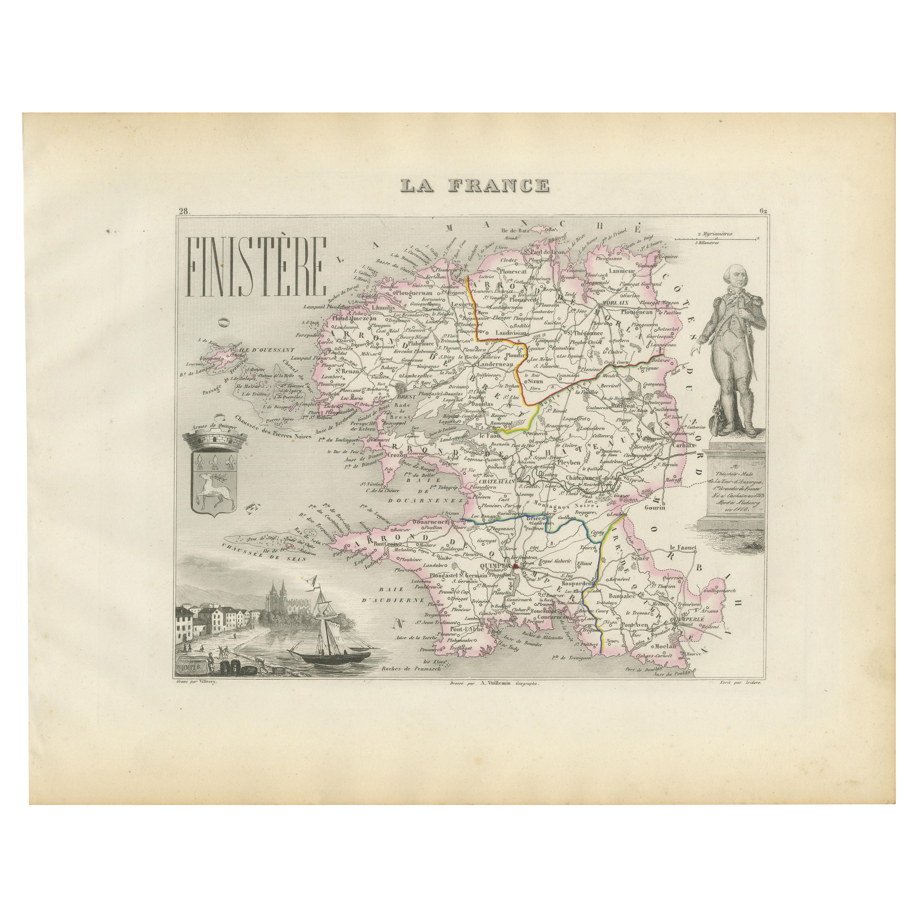
Alle anzeigenMap of Finistère France with Brest, Quimper and Brittany Coastline, 19th Century
Map of Finistère France with Brest, Quimper and Brittany Coastline, 19th Century
Description:
This richly engraved 19th-century map of Finistère, the westernmost department of mainl...
Kategorie
Antik, Mittleres 19. Jahrhundert, Französisch, Landkarten
Materialien
Papier
Map of Allier France with Saint-Pourçain Wine Region by Vuillemin, 19th c
Map of Allier France with Saint-Pourçain Wine Region by Vuillemin, 19th c
This decorative 19th-century map of Allier, a central department of France, comes from the celebrated Nouve...
Kategorie
Antik, Mittleres 19. Jahrhundert, Französisch, Landkarten
Materialien
Papier

Map of Côte-d'Or France with Dijon and Burgundy Wine Region, 19th Century
Map of Côte-d'Or France with Dijon and Burgundy Wine Region, 19th Century
Description:
This beautifully engraved 19th-century map of Côte-d'Or, located in the historic region of Bur...
Kategorie
Antik, Mittleres 19. Jahrhundert, Französisch, Landkarten
Materialien
Papier

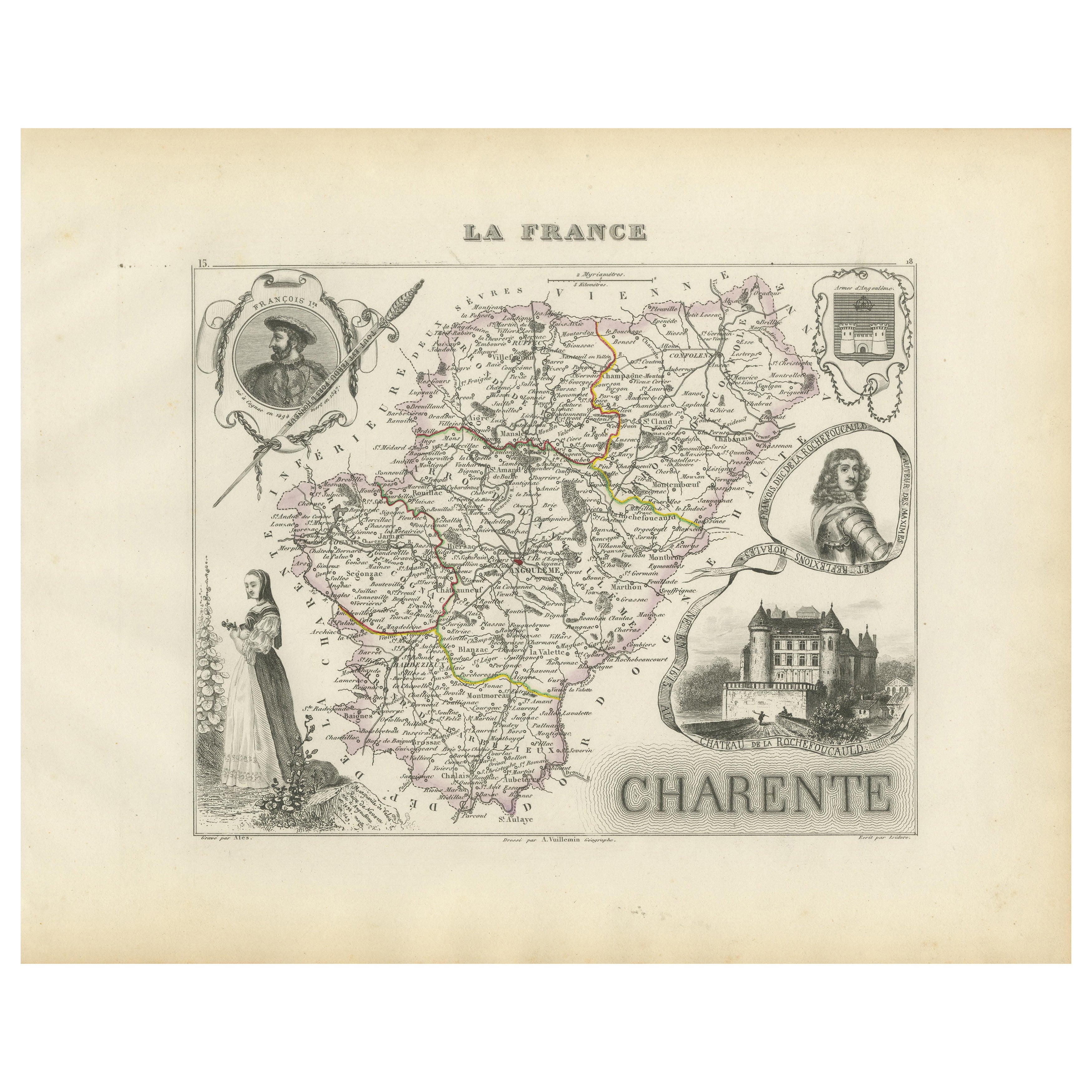
Map of Charente France with Cognac Region and Château de La Rochefoucauld, 1850
Map of Charente France with Cognac Region and Château de La Rochefoucauld, 19th c
Description:
This richly illustrated 19th-century map of the Charente department in southwestern Fr...
Kategorie
Antik, Mittleres 19. Jahrhundert, Französisch, Landkarten
Materialien
Papier

Map of Ain France with Vineyards of Bugey and Notable Portraits, c.1850
Map of Ain France with Portraits of Bichat and Joubert by Vuillemin, 19th c
This highly decorative 19th-century map of the French department of Ain is taken from the celebrated Nouv...
Kategorie
Antik, Mittleres 19. Jahrhundert, Französisch, Landkarten
Materialien
Papier

Map of Ariège France with Foix and Pyrenees Landscape by Vuillemin, 19th c
Map of Ariège France with Foix and Pyrenees Landscape by Vuillemin, 19th c
Description:
This beautifully detailed 19th-century map of the Ariège department in southwestern France wa...
Kategorie
Antik, Mittleres 19. Jahrhundert, Französisch, Landkarten
Materialien
Papier

Das könnte Ihnen auch gefallen
Indre und Loire, Frankreich. Antike Karte einer französischen Abteilung, 1856
Von Victor Levasseur
dept. d'Indre et Loire", Stahlstich mit Originalumriss von Hand koloriert, 1856, aus Levasseurs "Atlas National Illustre".
Dieses Gebiet ist bekannt für die Herstellung von Chenin ...
Kategorie
19. Jahrhundert, Naturalismus, Landschaftsdrucke
Materialien
Gravur

Große Karte von Frankreich aus dem 19.
Große Karte von Frankreich aus dem 19. Jahrhundert.
Bemerkenswerter Zustand, mit einer angenehmen altersbedingten Patina.
Kürzlich gerahmt.
Frankreich CIRCA 1874.
Kategorie
Antik, Spätes 19. Jahrhundert, Französisch, Landkarten
Materialien
Leinen, Papier

Lozere, Frankreich. Antike Karte einer französischen Abteilung, 1856
Von Victor Levasseur
dept. de La Lozere", Stahlstich mit originaler Handkolorierung der Umrisse, 1856, aus dem "Atlas National Illustre" von Levasseur.
Dieser abgelegene, gebirgige Teil des Languedoc i...
Kategorie
19. Jahrhundert, Naturalismus, Landschaftsdrucke
Materialien
Gravur

Var, Frankreich. Antike Karte einer französischen Abteilung, 1856
Von Victor Levasseur
dept. du Var", Stahlstich mit handkolorierten Originalumrissen, 1856, aus dem Atlas National Illustre von Levasseur.
Var liegt im Herzen der Côte d'Azur und umfasst unter anderem d...
Kategorie
19. Jahrhundert, Naturalismus, Landschaftsdrucke
Materialien
Gravur

Anlehnung an Loire und Loire, Frankreich. Antike Karte einer französischen Abteilung, 1856
Von Victor Levasseur
dept. de Saone et Loire", Stahlstich mit originaler Handkolorierung der Umrisse, 1856, aus: Atlas National Illustre von Levasseur.
Das französische Departement Saone et Loire ist d...
Kategorie
19. Jahrhundert, Naturalismus, Landschaftsdrucke
Materialien
Gravur

1771 Bonne Karte von Poitou, Touraine und Anjou, Frankreich, Ric.a015
1771 Bonne-Karte von Poitou,
Touraine und Anjou, Frankreich
Ric.a015
1771 Bonne-Karte von Potiou, Touraine und Anjou mit dem Titel "Carte des Gouvernements D'Anjou et du Sau...
Kategorie
Antik, 17. Jahrhundert, Unbekannt, Landkarten
Materialien
Papier
