Artículos similares a Animal Distribution Map by A.K. Johnston – Fauna by Climate Zones 1852


¿Quieres más imágenes o vídeos?
Solicita imágenes o vídeos adicionales al vendedor
1 de 11
Animal Distribution Map by A.K. Johnston – Fauna by Climate Zones 1852
260 €por artículo|IVA incluido
Cantidad
Envío
Recuperando presupuesto…La promesa de 1stDibs
Garantía de autenticidad,
Garantía de devolución de dinero,
Cancelación dentro de las 24 horas
Acerca del artículo
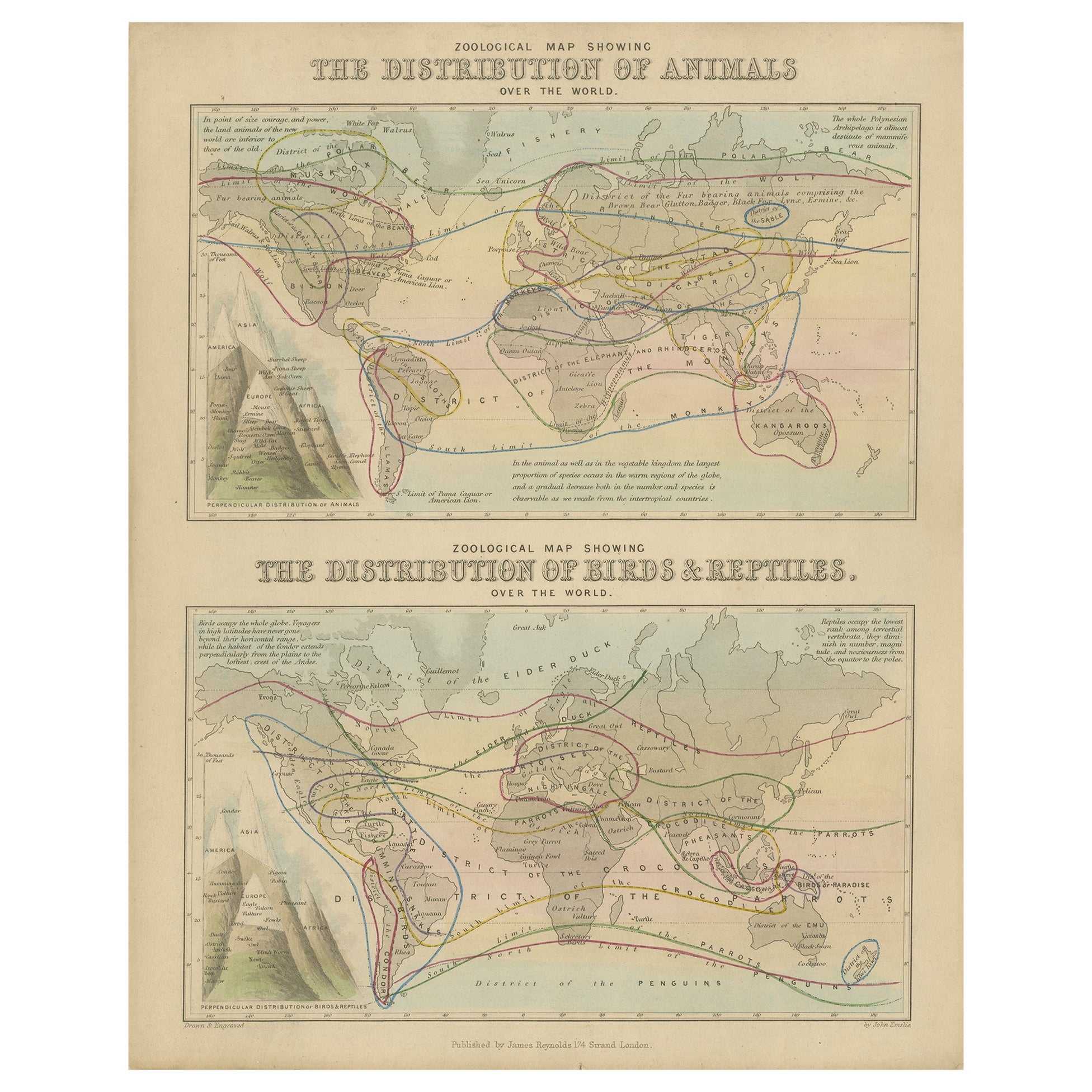
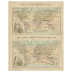
Animal Distribution Map by A.K. Johnston – Fauna by Climate Zones 1852
This beautifully engraved chart titled "The Distribution of Animals Including the Mammalia, Birds, Reptiles & Fishes; According to Zones of Climate" was created by Alexander Keith Johnston and published in 1852 by William Blackwood & Sons, Edinburgh and London. It appears as Plate 16 in Johnston’s influential *Physical Atlas of Natural Phenomena*, one of the most important thematic atlases of the 19th century.
This map presents a global view of the natural distribution of animals based on climatic zones, highlighting how temperature, geography, and elevation influence animal habitats. The world is divided into major climate zones such as the "Temperate Fauna," "Tropical Fauna," and "Zones of Perpetual Ice and Snow," with red typography identifying characteristic species of mammals, birds, reptiles, and marine life in each region.
Notable animal groups are labeled in situ, such as the polar bear, right whale, llama, lion, elephant, condor, kangaroo, and reindeer. Faunal regions across Asia, Africa, the Americas, Australia, and the Arctic are described in broad zoological terms. The map distinguishes between terrestrial and marine fauna, with references to oceanic zones for species like whales and seals, while also noting elevation-related changes in animal life.
Beneath the main map is a detailed comparative diagram titled "Distribution of Animals in a Vertical Direction," showing how animal species vary with altitude across major mountain systems in the Western and Eastern Hemispheres. Mountains like the Andes, Alps, Himalayas, and the Rocky Mountains are illustrated with fauna labeled at different heights—from mountain goats and condors to tigers and leopards—illustrating the vertical stratification of animal habitats.
Alexander Keith Johnston (1804–1871) was a pioneer in thematic cartography and served as Geographer in Ordinary to Queen Victoria. His *Physical Atlas* combined scientific rigor with visual clarity and artistic precision, making complex environmental and biological data both accessible and visually compelling.
This plate is ideal for collectors of natural history, early zoological science, or antique educational prints. It also serves as an elegant decorative piece for libraries, studies, or offices with a scientific or historical theme.
Condition and framing tips:
Very good condition with mild age toning and a clean image area. Original centerfold present. Frame in dark wood or black with a neutral or ivory mat to enhance the subtle red and green tones and the delicate engravings. A fine piece for natural history enthusiasts and vintage map collectors alike.
- Dimensiones:Altura: 27,4 cm (10,79 in)Anchura: 34,5 cm (13,59 in)Profundidad: 0,2 mm (0,01 in)
- Materiales y técnicas:
- Lugar de origen:
- Época:
- Fecha de fabricación:1852
- Estado:Very good condition. Light overall toning near the margins and some offset over Europe. The paper remains strong and well-preserved. Folding line as issued.
- Ubicación del vendedor:Langweer, NL
- Número de referencia:Vendedor: BG-13207-161stDibs: LU3054345393532
Sobre el vendedor
5,0
Vendedor reconocido
Estos prestigiosos vendedores son líderes del sector y representan el escalón más alto en cuanto a calidad y diseño de artículos.
Vendedor Platino
Vendedores premium con una calificación de +4,7 y tiempos de respuesta de 24 horas
Establecido en 2009
Vendedor de 1stDibs desde 2017
2493 ventas en 1stDibs
Tiempo de respuesta usual: <1 hora
- EnvíoRecuperando presupuesto…Envío desde: Langweer, Países Bajos
- Política de devolución
Partes de esta página se han traducido automáticamente. 1stDibs no puede garantizar la exactitud de las traducciones. El inglés es el idioma predeterminado de este sitio web.
Garantía de autenticidad
En el improbable caso de que haya algún problema con la autenticidad de un artículo, ponte en contacto con nosotros en un plazo de 1 año para recibir un reembolso total. DetallesGarantía de devolución de dinero
Si tu artículo no es como se describe, sufre daños durante el transporte o no llega, ponte en contacto con nosotros en un plazo de 7 días para recibir un reembolso total. DetallesCancelación dentro de las 24 horas
Tienes un período de gracia de 24 horas para reconsiderar tu compra, sin preguntas.Vendedores profesionales aprobados
Nuestros vendedores de primera clase deben cumplir estrictos estándares de servicio para mantener la integridad de nuestros anuncios.Garantía de igualación de precios
Si encuentras que un vendedor publicó el mismo artículo por un precio menor en otro lado, igualaremos ese precio.Entrega global de confianza
Nuestra red de transporte de primera ofrece opciones de envío especializado en todo el mundo, que incluye envío personalizado.Más de este vendedor
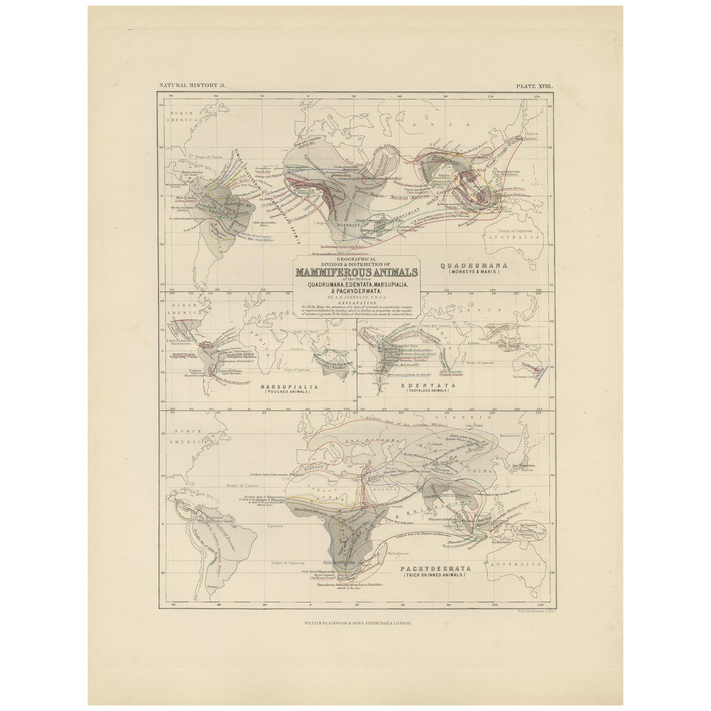
Ver todoMapa antiguo que muestra la división y distribución de los mamíferos por Johnston '1850
Mapa antiguo titulado "División geográfica y distribución de los mamíferos de los órdenes rodentia y ruminantia en el globo". Mapa original antiguo que muestra la división geográfica...
Categoría
Antiguo, Mediados del siglo XIX, Mapas
Materiales
Papel

160 € Precio de venta
Descuento del 20 %
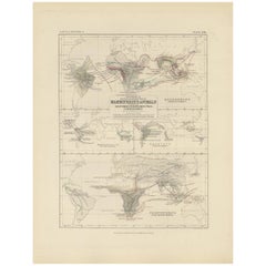
Mapa zoológico antiguo, 1843
Dos mapamundis antiguos en una sola hoja. El mapa superior muestra la distribución de los animales en el mundo. El mapa inferior muestra la distribución de aves y reptiles en el mund...
Categoría
Antiguo, siglo XIX, Mapas
Materiales
Papel
176 € Precio de venta
Descuento del 20 %
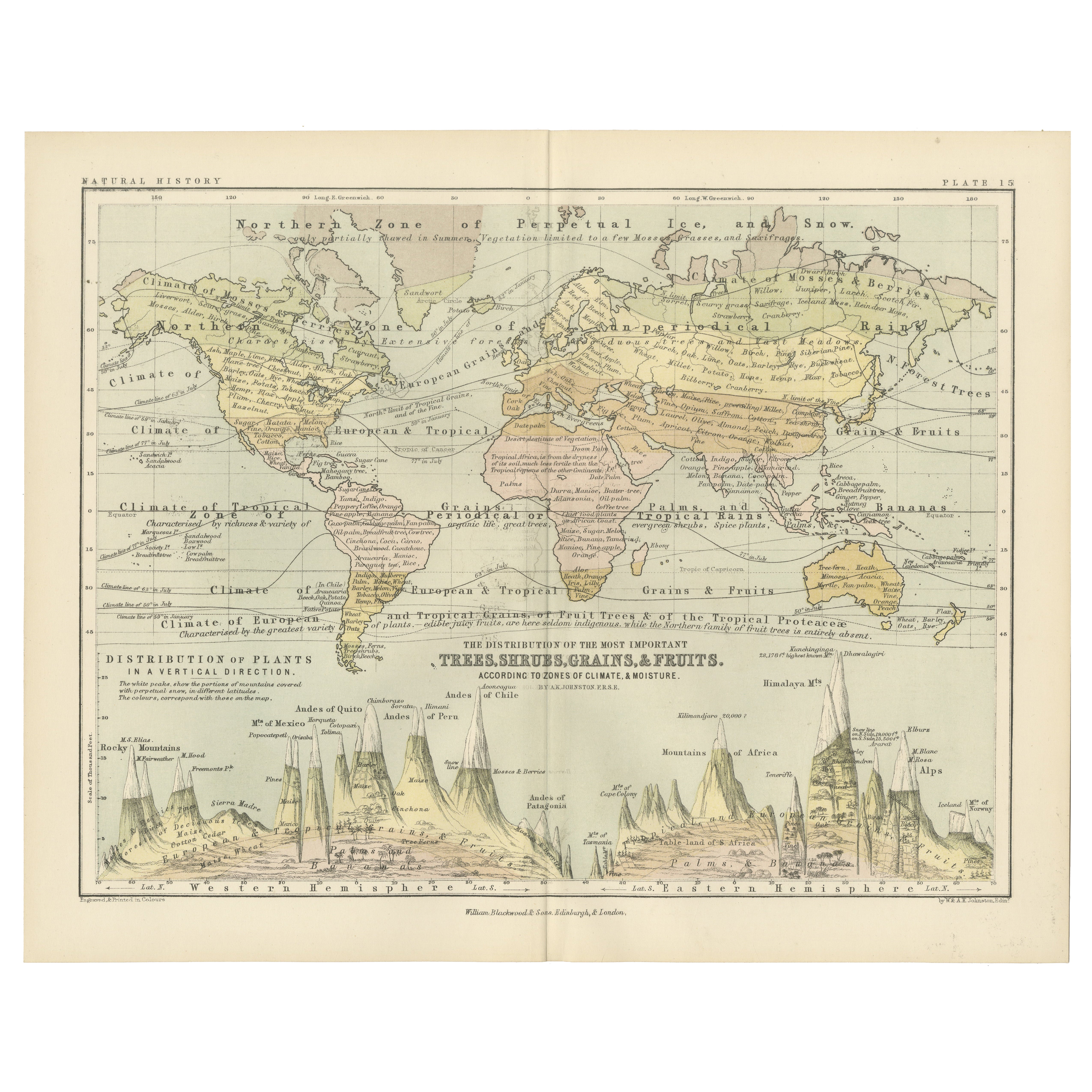
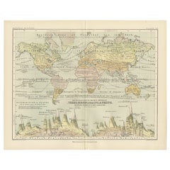
Botanical Map by A.K. Johnston – Global Plant Distribution Chart 1852
Botanical Map by A.K. Johnston – Global Plant Distribution Chart 1852
This remarkable antique chart titled "The Distribution of the Most Important Trees, Shrubs, Grains, & Fruits Ac...
Categoría
Antiguo, Mediados del siglo XIX, Escocés, Impresiones
Materiales
Papel
Mapa antiguo que muestra la división y distribución de los mamíferos por Johnston '1850
Mapa antiguo titulado 'División geográfica y distribución de los mamíferos de los órdenes quadrumana, edentata, marsupialia & pachydermata'. Mapa original antiguo que muestra la divi...
Categoría
Antiguo, Mediados del siglo XIX, Mapas
Materiales
Papel
130 € Precio de venta
Descuento del 35 %
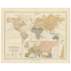
Ethnographic Map of the World by A.K. Johnston – Races of Man Chart 1852
Ethnographic Map of the World by A.K. Johnston – Races of Man Chart 1852
This antique map titled "Ethnographic Map of the World Showing the Present Distribution of the Leading Races...
Categoría
Antiguo, Mediados del siglo XIX, Escocés, Impresiones
Materiales
Papel
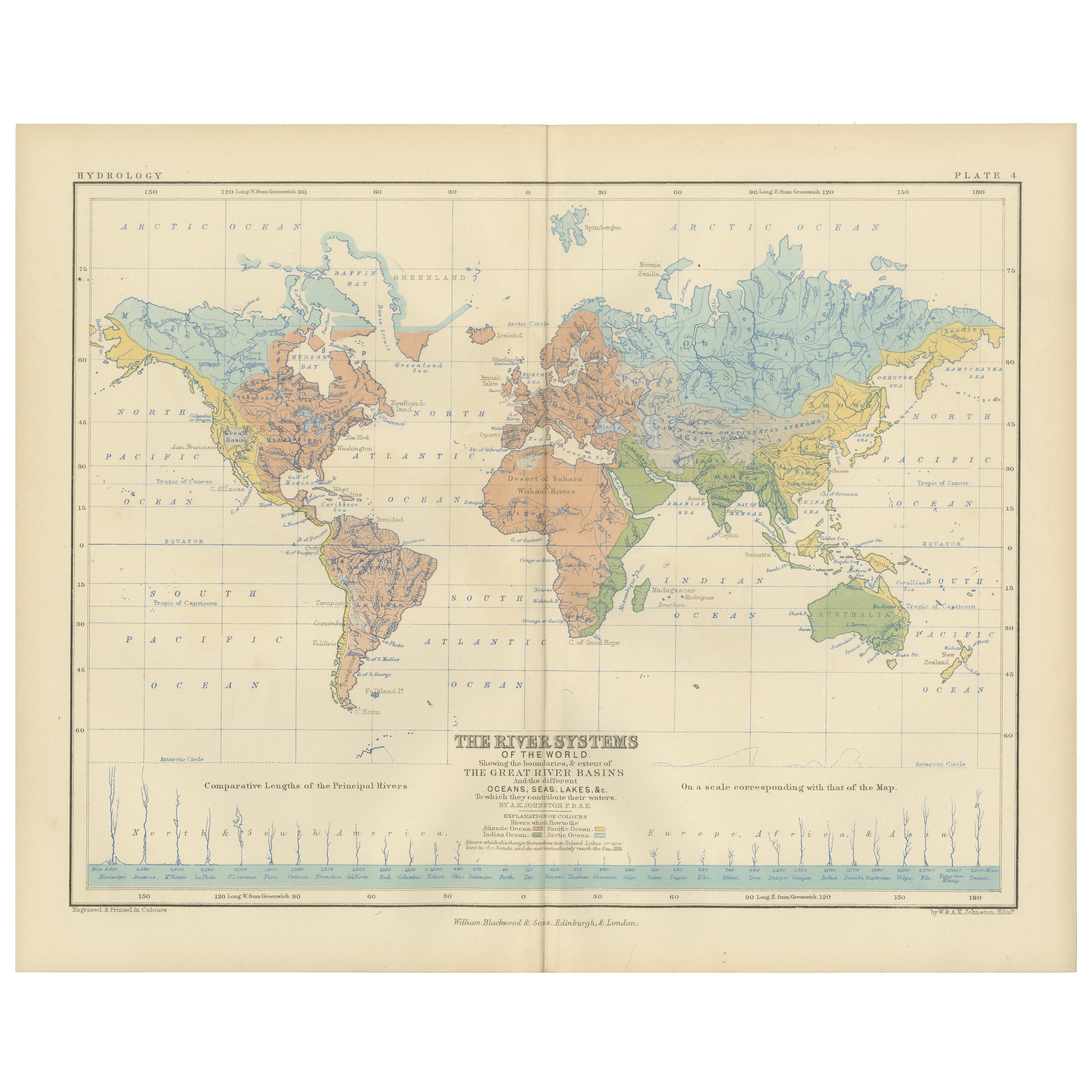
River Systems Map of the World by A.K. Johnston – Educational Print 1852
River Systems Map of the World by A.K. Johnston – Educational Print 1852
This striking 1852 map titled "The River Systems of the World" was created by the noted Scottish geographer ...
Categoría
Antiguo, Mediados del siglo XIX, Escocés, Impresiones
Materiales
Papel

También te puede gustar
Mapa Antiguo Original del Mundo por Dower, circa 1835
Bonito mapa del Mundo
Dibujado y grabado por J.Dower
Publicado por Orr & Smith. C.1835
Sin enmarcar.
Envío gratuito
Categoría
Antiguo, Década de 1830, Inglés, Mapas
Materiales
Papel

1864 Planisferio ilustrado original - Mapamundi - Geografía
Sumérgete en el viaje épico del pasado con el Planisferio Histórico Ilustrado de 1864 de Charpentier! 🗺️ Este tesoro cartográfico te transporta a través de los entresijos de la hist...
Categoría
Década de 1860, Impresiones y múltiplos
Materiales
Lino, Litografía, Papel

Antiguo mapa original del mundo de Thomas Clerk, 1817
Gran mapa de los hemisferios oriental y occidental
En 2 hojas
Grabado en cobre
Dibujado y grabado por Thomas Clerk, Edimburgo.
Publicado por Mackenzie And Dent, 1817
S...
Categoría
Antiguo, Década de 1810, Inglés, Mapas
Materiales
Papel

Mapa antiguo del Imperio Británico - Mapa antiguo de Karl Spruner - 1760 ca.
Por Karl Spruner von Merz
Antiguo mapa del Imperio Británico es una obra de arte realizada hacia 1760 por Karl Spruner.
Grabado original coloreado a mano.
Buen estado, salvo por el amarilleamiento del papel...
Categoría
Década de 1760, Moderno, Impresiones figurativas
Materiales
Grabado químico

Gran Mapa Antiguo Original del Mundo, Fullarton, C.1870
Gran mapa del Mundo. Mostrando ambos hemisferios
Del célebre Atlas Real Ilustrado
Litografía. Color original.
Publicado por Fullarton, Edimburgo, C.1870
Sin enmarcar.
Reparació...
Categoría
Antiguo, Década de 1870, Escocés, Mapas
Materiales
Papel

Mapa Antiguo Original del Hemisferio Oriental por Dower, hacia 1835
Bonito mapa del hemisferio oriental
Dibujado y grabado por J.Dower
Publicado por Orr & Smith. C.1835
Sin enmarcar.
Envío gratuito
Categoría
Antiguo, Década de 1830, Inglés, Mapas
Materiales
Papel
