Articoli simili a Map of Eure-et-Loir France with Chartres Cathedral and Marceau Portrait, c.1850

Vuoi altre immagini o video?
Richiedi altre immagini o video al venditore
1 di 10
Map of Eure-et-Loir France with Chartres Cathedral and Marceau Portrait, c.1850
Informazioni sull’articolo
Map of Eure-et-Loir France with Chartres Cathedral and Marceau Portrait, 19th c
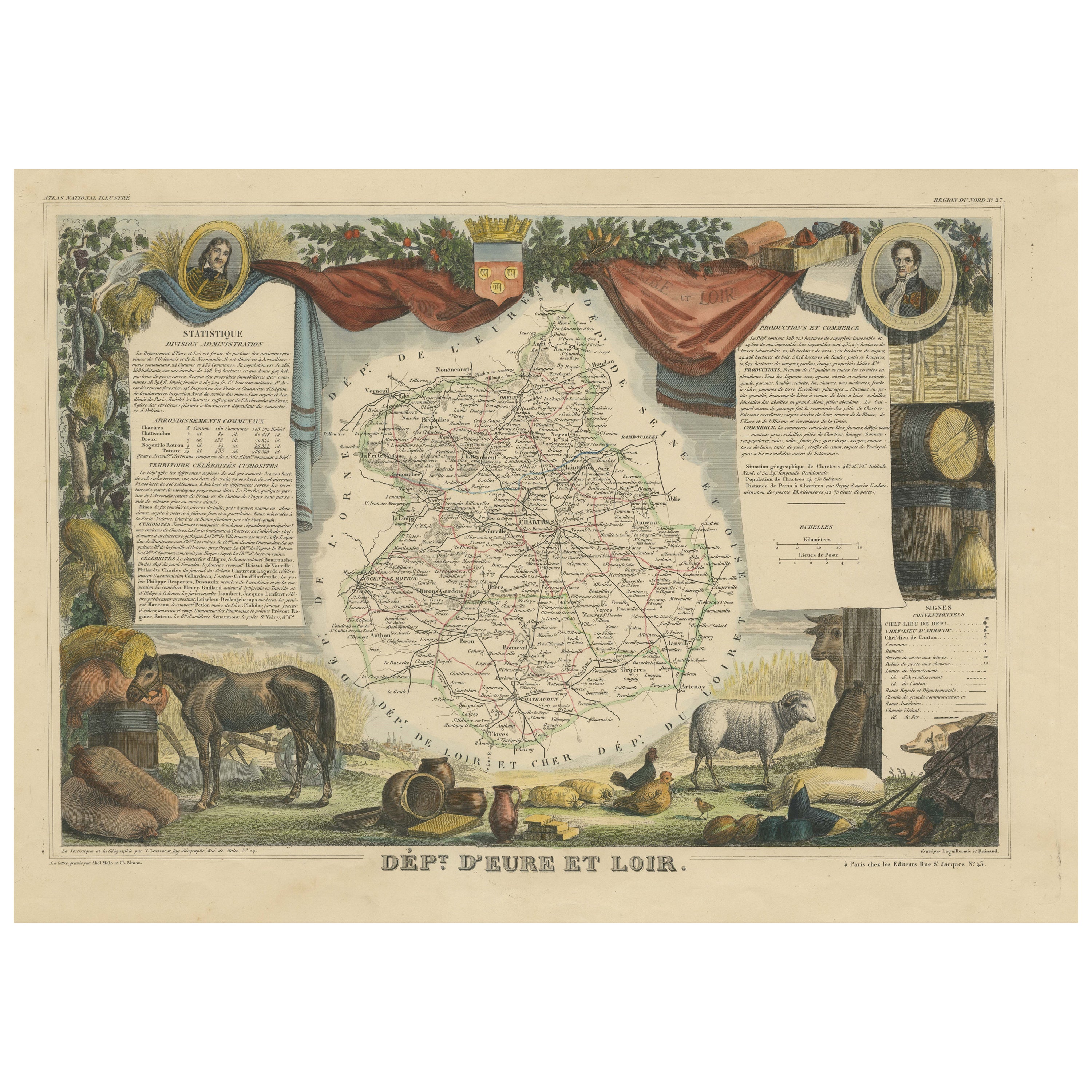
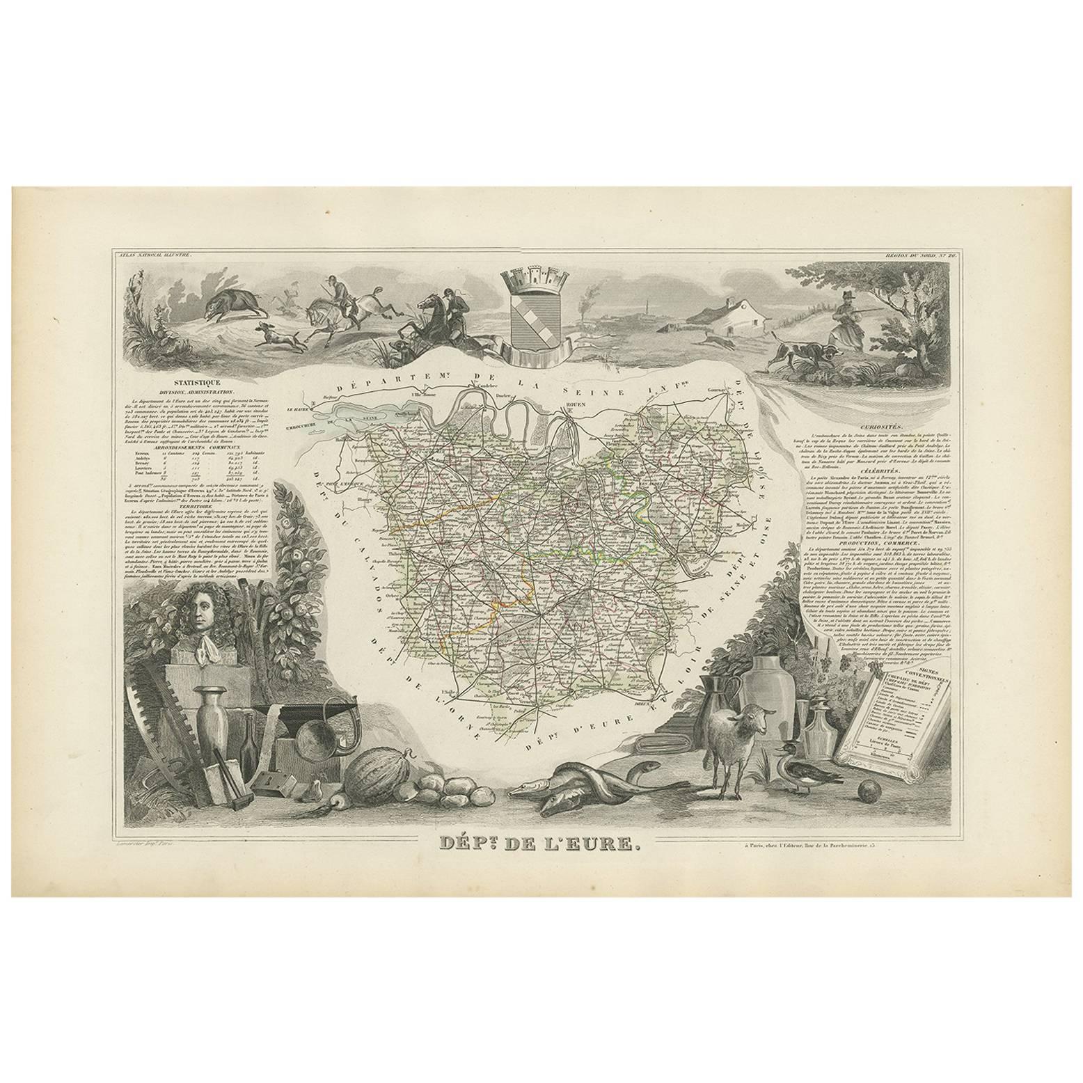
This detailed and elegantly illustrated 19th-century map of the Eure-et-Loir department in north-central France was drawn by Alexandre Vuillemin and published in Paris by Migeon as part of the *Nouvel Atlas Illustré*. Combining precise cartography with rich historical symbolism, the map captures the agricultural and cultural identity of a region closely tied to the history of the French monarchy and the Catholic Church.
Outlined in soft lilac hand-coloring, the map shows the full extent of Eure-et-Loir, including its road networks, towns, and rivers. The city of Chartres, the department’s capital, is prominently featured near the center. Other important towns such as Dreux, Nogent-le-Rotrou, and Châteaudun are also clearly marked, reflecting the region’s strategic position between Paris and the Loire Valley.
At the top right is a finely engraved portrait of General François-Séverin Marceau, a revolutionary army officer born in Chartres in 1769. His military legacy is commemorated through his prominent placement on the map. At the bottom, two vignettes feature striking views of the region’s medieval fortresses and ruined châteaux, offering a glimpse into its feudal and architectural past. One engraving is likely a view of the ruins near Châteaudun or Nogent-le-Rotrou, reinforcing the historical depth of the area.
Eure-et-Loir lies within the Beauce plain, one of the most productive agricultural areas in France, often referred to as the "granary of France" due to its vast wheat fields. Though not a major wine-producing department, the region is vital for its grain and livestock production and has a long ecclesiastical tradition. Chartres Cathedral, a UNESCO World Heritage site, is one of the most celebrated examples of Gothic architecture in Europe, known for its towering spires and remarkably preserved stained-glass windows.
This map is an ideal addition for collectors interested in French history, military heritage, or ecclesiastical art, offering both visual charm and regional significance.
Condition summary:
Very good condition with light age toning and minor foxing in the margins. The engraving remains sharp and the original hand coloring is well preserved.
Framing tips:
A dark walnut or black frame will emphasize the historical gravitas of this map. Pair it with an ivory or soft grey mat to enhance the coloring and support the Gothic architectural details. UV-protective glass is recommended for display and archival care.
- Dimensioni:Altezza: 32,5 cm (12,8 in)Larghezza: 26,1 cm (10,28 in)Profondità: 0,2 mm (0,01 in)
- Materiali e tecniche:Carta,Inciso
- Luogo di origine:
- Periodo:
- Data di produzione:circa 1850
- Condizioni:Very good condition with light age toning and minor foxing in the margins. The engraving remains sharp and the original hand coloring is well preserved.
- Località del venditore:Langweer, NL
- Numero di riferimento:Venditore: BG-13331-271stDibs: LU3054345363892
Informazioni sul venditore
5,0
Venditore riconosciuto
Questi venditori prestigiosi sono leader del settore e rappresentano il massimo in termini di qualità e design.
Venditore Oro
Venditori Premium con valutazione 4,3+ e tempi di risposta entro 24 ore
Fondazione nel 2009
Venditore 1stDibs dal 2017
2.469 vendite su 1stDibs
Tempo di risposta standard: <1 ora
- SpedizioneRecupero del preventivo…Spedizione da: Langweer, Paesi Bassi
- Politica di reso
Alcune parti di questa pagina sono state tradotte automaticamente. 1stDibs non può garantire che le traduzioni siano corrette. L’inglese è la lingua predefinita del sito.
Garanzia di autenticità
Nell’improbabile caso in cui si verifichi un problema con l’autenticità di un articolo, contattaci entro un anno per ottenere un rimborso completo. DettagliGaranzia di rimborso
Se il tuo articolo non corrisponde alla descrizione, è danneggiato durante il trasporto o non arriva, contattaci entro 7 giorni per un rimborso completo. DettagliAnnullamento entro 24 ore
Hai un periodo di tolleranza di 24 ore per annullare il tuo acquisto, senza necessità di fornire spiegazioni.Venditori professionali selezionati
I nostri venditori di livello internazionale devono aderire a rigorosi standard di servizio e qualità, garantendo l’integrità delle inserzioni.Garanzia miglior prezzo
Se scopri che un venditore ha pubblicato altrove lo stesso articolo a un prezzo più basso, applicheremo lo stesso prezzo.Consegna globale affidabile
La nostra rete di vettori leader del settore offre opzioni di spedizione specializzate in tutto il mondo, inclusa la consegna personalizzata.Altro da questo venditore
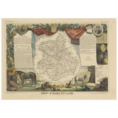
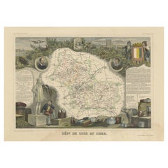
Mostra tuttoCarta geografica antica del Dipartimento francese di Eure-et-loir, Francia
Di Victor Levasseur
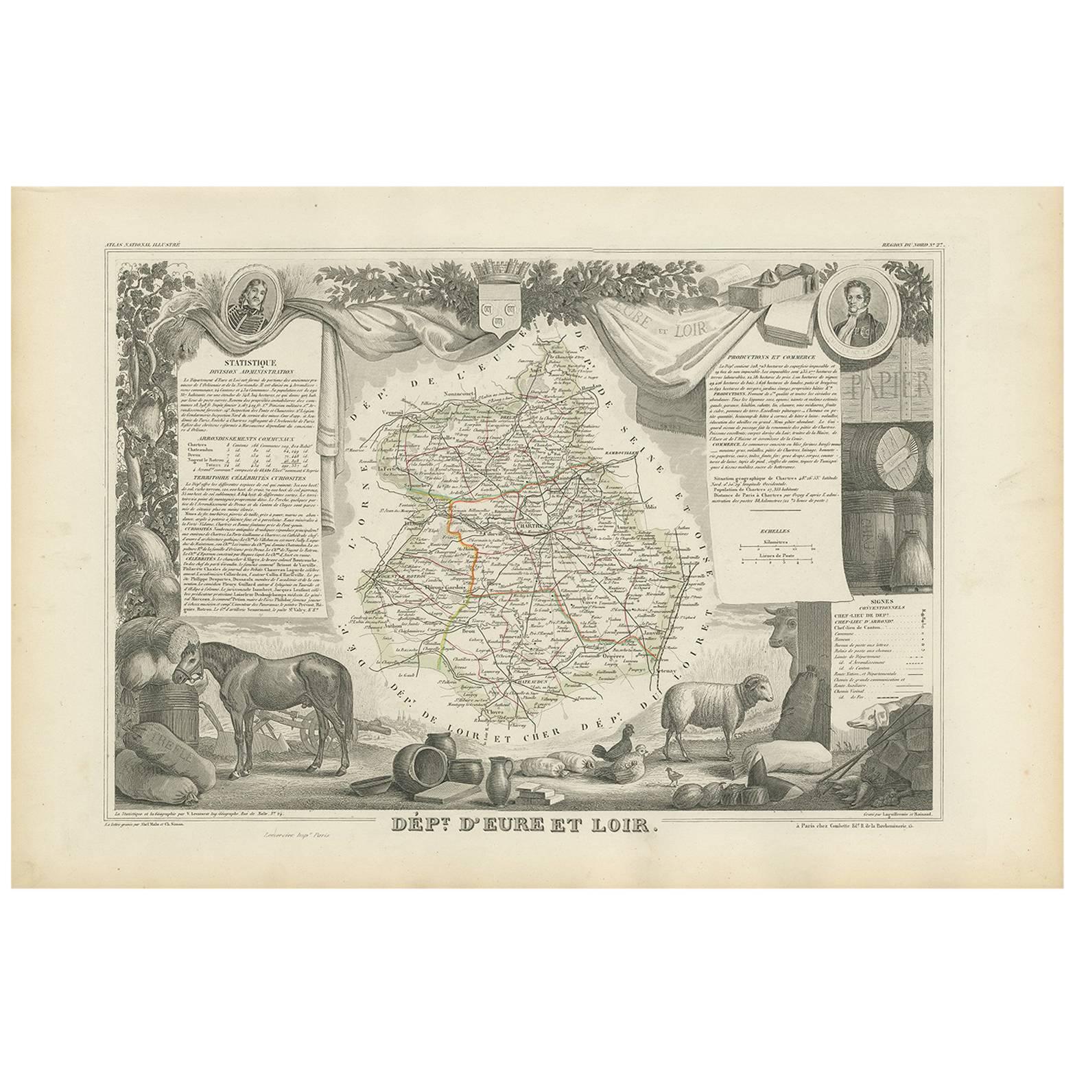
Carta geografica antica intitolata "Dépt. d'Eure et Loir". Mappa del dipartimento francese di Eure-et-Loir, Francia. In questa zona si trova la famosa Cattedrale di Chartres. Il tutt...
Categoria
Di antiquariato/d’epoca, Metà XIX secolo, Mappe
Materiali
Carta
320 USD Prezzo promozionale
20% in meno
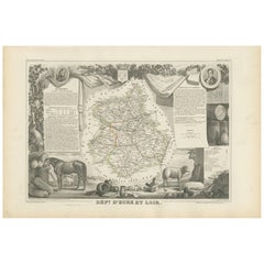
Carta geografica antica di Eure Et Loir 'Francia' di v. Levasseur, 1854
Di Victor Levasseur
Carta geografica antica intitolata "Dépt. d'Eure et Loir". Mappa del dipartimento francese di Eure Et Loir, Francia. In questa zona si trova la famosa Cattedrale di Chartres. Il tutt...
Categoria
Di antiquariato/d’epoca, Metà XIX secolo, Mappe
Materiali
Carta
169 USD Prezzo promozionale
20% in meno
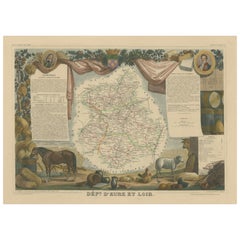
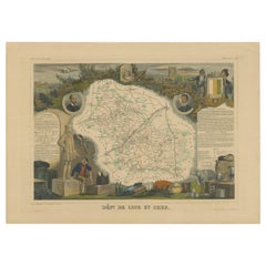
Mappa antica colorata a mano del Dipartimento dell'Eure-et-loir, Francia
Di Victor Levasseur
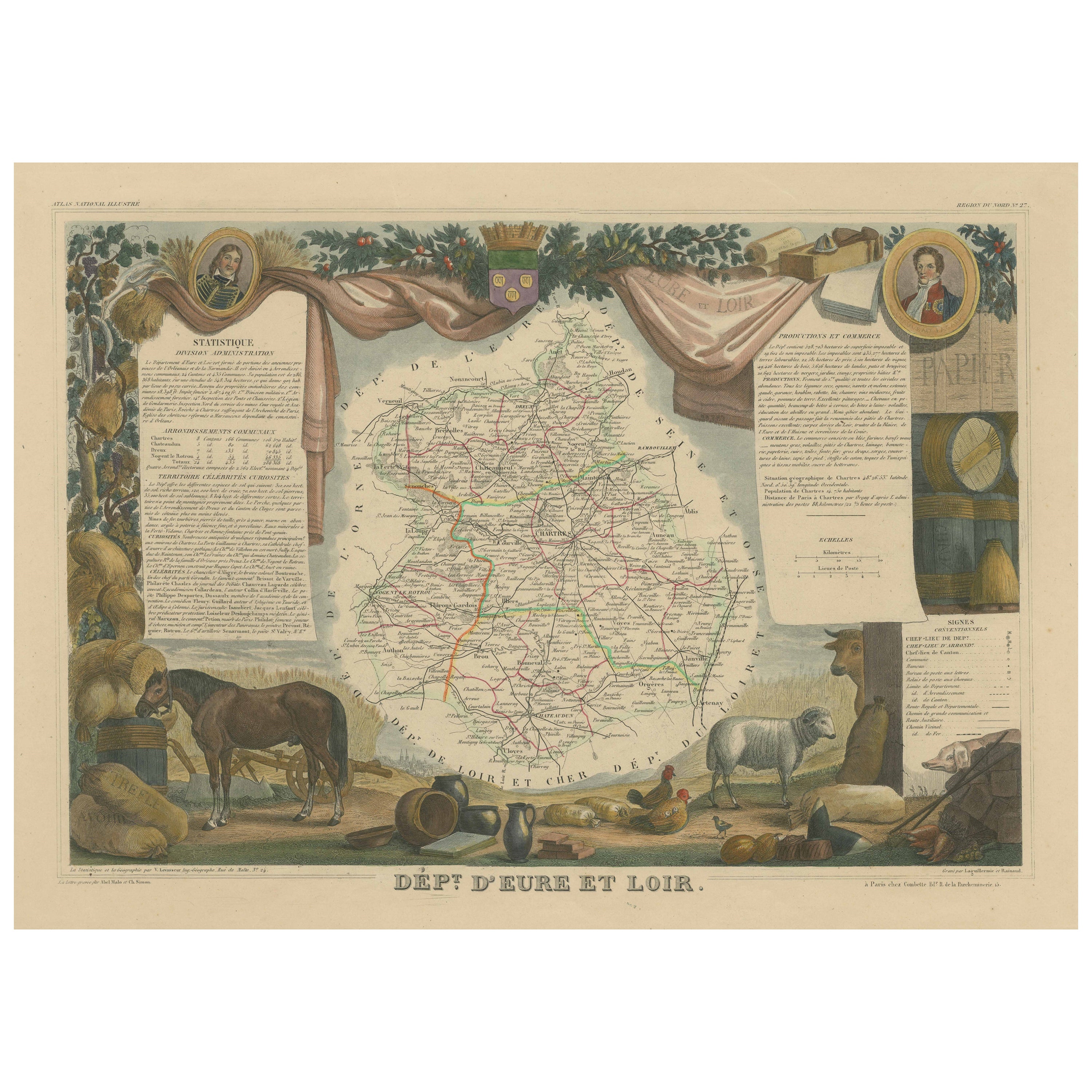
Carta geografica antica intitolata "Dépt. d'Eure et Loir". Mappa del dipartimento francese di Eure-et-Loir, Francia. In questa zona si trova la famosa Cattedrale di Chartres. Il tutt...
Categoria
Di antiquariato/d’epoca, Metà XIX secolo, Mappe
Materiali
Carta
320 USD Prezzo promozionale
20% in meno
Carta geografica antica del Dipartimento francese di Loir-et-cher, Francia
Di Victor Levasseur
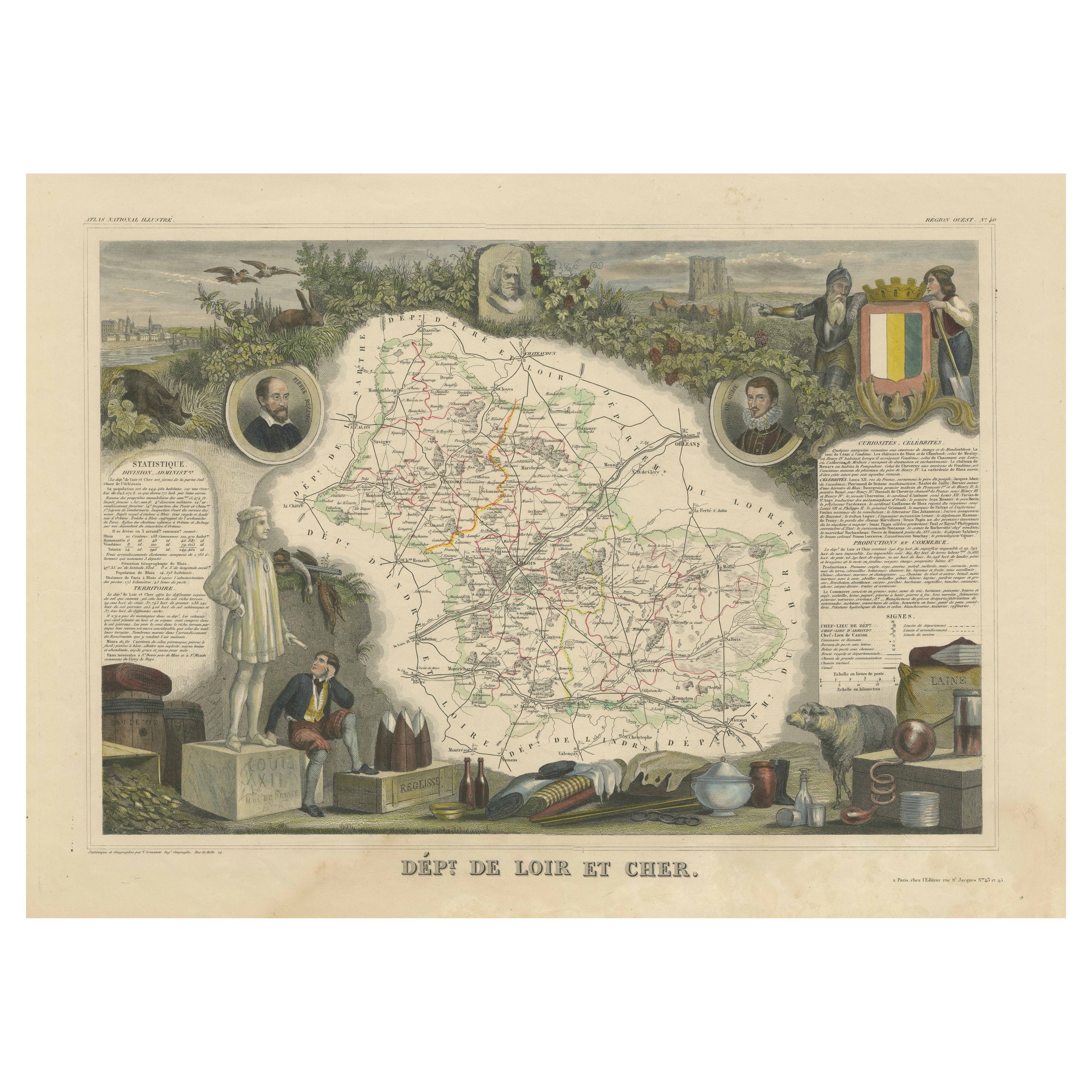
Carta geografica antica intitolata "Dépt. de Loir et Cher". Mappa del dipartimento francese Loir-et-Cher, Francia. Questa zona è conosciuta soprattutto per la produzione del Selles-s...
Categoria
Di antiquariato/d’epoca, Metà XIX secolo, Mappe
Materiali
Carta
320 USD Prezzo promozionale
20% in meno
Carta geografica antica colorata a mano del dipartimento di Loir-et-Cher, Francia
Di Victor Levasseur
Carta geografica antica intitolata "Dépt. de Loir et Cher". Mappa del dipartimento francese Loir-et-Cher, Francia. Questa zona è conosciuta soprattutto per la produzione del Selles-s...
Categoria
Di antiquariato/d’epoca, Metà XIX secolo, Mappe
Materiali
Carta
320 USD Prezzo promozionale
20% in meno
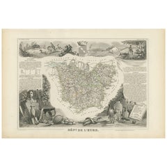
Carta geografica antica di Eure 'France' di V. Levasseur, 1854
Di Victor Levasseur
Carta geografica antica intitolata "Dépt. de l'Eure". Mappa del dipartimento francese dell'Eure, Francia. In questa regione della Francia si trova Giverny, dove si trovano la casa e ...
Categoria
Di antiquariato/d’epoca, Metà XIX secolo, Mappe
Materiali
Carta
169 USD Prezzo promozionale
20% in meno
Ti potrebbe interessare anche
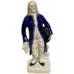
Ritratto di Franklin in piedi, Staffordshire, 1850 circa
Di Staffordshire
Ritratto di Franklin in piedi, Staffordshire, 1850 circa
Raffigurazione di Ben Franklin davanti a un ceppo d'albero, con un cappello a tricorno appoggiato al fianco sinistro, un doc...
Categoria
Di antiquariato/d’epoca, Metà XIX secolo, Inglese, Pieno vittoriano, Mem...
Materiali
Terracotta
1.196 USD Prezzo promozionale
20% in meno
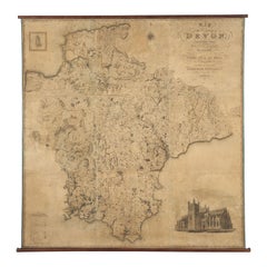
Mappa appesa al muro della contea di Devon C&J Greenwood 1827 Cattedrale di Exeter Isola di Lundy
MAPPA C & J GREENWOOD DELLA CONTEA DI DEVON, DA UN'INDAGINE ORIGINALE, PUBBLICATA NEL 1827, CON INCISIONE DELLA CATTEDRALE DI EXETER E MAPPA DI LUNDY INSET, lunga 6ft 2 ¼", alta 6ft ...
Categoria
Di antiquariato/d’epoca, Anni 1820, Inglese, Primo vittoriano, Mappe
Materiali
Carta
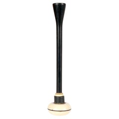
Stetoscopio in legno e avorio, Francia 1850.
Uno strumento medico della prima metà del XIX secolo. Uno stetoscopio Piorry, indivisibile, in legno d'ebano e avorio. Pierre Adolphe Piorry si ispirò all'invenzione di René Laennec,...
Categoria
Di antiquariato/d’epoca, Metà XIX secolo, Francese, Strumenti scientifici
Materiali
Avorio, Legno
Piccola mappa antica della contea del Northamptonshire, inglese, incorniciata, cartografia, C.C.
Questa è una piccola mappa antica della contea del Northamptonshire. Un'incisione atlantica inglese incorniciata di interesse cartografico, risalente alla metà del XIX secolo e oltr...
Categoria
Di antiquariato/d’epoca, Metà XIX secolo, Britannico, Vittoriano, Mappe
Materiali
Carta
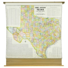
1850-1960 Cram's Superior Latest Federal Census Texas Map
Di G. F. Cram Company
La mappa Cram's Superior Latest Federal Census Texas del 1850-1960, realizzata in legno di pino, acciaio e tela, è un pezzo storico cartografico di grande valore. Pubblicata da The G...
Categoria
Vintage, Anni 1910, Americano, Mappe
Materiali
Tela
Antica mappa francese del 1850 che raffigura l'intera superficie terrestre divisa in due parti
Carta geografica che raffigura l'intera superficie terrestre divisa in due parti che corrispondono ai due emisferi in cui sono rappresentate le terre emerse che sono state classifica...
Categoria
Di antiquariato/d’epoca, Metà XIX secolo, Francese, Mappe
Materiali
Vetro, Legno, Carta
