Articoli simili a 1791 Gazette of The United States, with Plans for the Capital City of Washington


Vuoi altre immagini o video?
Richiedi altre immagini o video al venditore
1 di 11
1791 Gazette of The United States, with Plans for the Capital City of Washington
Informazioni sull’articolo
Presented is a very early description of the City of Washington, as the planned Federal capital city. The article, written by an anonymous "Spectator,” was published in the October 8, 1791 issue of the Gazette of the United States. Spanning two columns of text, the article details in full the natural terrain and waterways, the designed plan of Pierre L’Enfant for the city’s layout, buildings, and streets, the ceding of territory from Virginia and Maryland, and the eventual sale of lots to the public. The author argues that “the founding of this city, in such an eligible situation, upon such a liberal and elegant plan, will, by future generations, be considered as one of the most important transactions of the present President of the United States; while its name will keep fresh in mind, to the end of time, the many important services he has rendered his country.”
The authority to establish a federal capital was provided in Article One, Section 8, of the United States Constitution, which permits Congress “to exercise exclusive Legislation in all Cases whatsoever, over such District (not exceeding ten Miles square) as may, by Cession of particular States, and the Acceptance of Congress, become the Seat of the Government of the United States.” The Constitution, however, did not specify a location for the new capital. James Madison explained the need for a federal district on January 23, 1788 in the Federalist No. 43, arguing that the national capital needed to be distinct from the states, in order to provide for its own maintenance and safety. In what later became known as the Compromise of 1790, Madison, Hamilton, and Jefferson came to an agreement that the federal government would assume war debt carried by the states, on the condition that the new national capital would be located in the South. On July 16, 1790, the Residence Act provided for a new permanent capital to be located on the Potomac River, the exact area to be selected by President Washington. Both Maryland and Virginia ceded portions of their territory to form the new capital, located on the north bank of the Potomac. On September 9, 1791, the federal city was named in honor of George Washington and the district was named the Territory of Columbia.
The city's lay-out derived from a number of ideas, Washington's and Jefferson's most famously, but owes most of its initial configuration to Pierre Charles L'Enfant, who had served under Washington during the war as an engineer. In 1791, President Washington asked L'Enfant to design the new capital city in the District of Columbia. L'Enfant designed a city similar in layout to the then French capital city of Versailles. Spreading out from the crux of the Potomac and its East Branch in a north-south grid, the city was planned with fifteen additional avenues (for the then fifteen states) that radiated from the White House or Capitol or parallel one of those avenues. As described in the article, these avenues “not only produce a variety of charming prospects, and facilitate the communication through the city, but remove that insipid sameness, that renders Philadelphia and Charleston unpleasing.”
L’Enfant’s great plan for the federal city, as described in this article, was later modified by Andrew Ellicott. In 1791, troubles arose between the Commissioners of the City and L'Enfant because they needed to have a printed copy of the plan in order to sell buildings and public lots. L'Enfant frustrated them by working too slowly and releasing only sketchy plans. On February 27, 1792, by instruction from Washington, Thomas Jefferson wrote a letter to L'Enfant dismissing him as city planner. Surveyor and mathematician Andrew Ellicott had already completed a detailed survey of the city in 1791, so he was an obvious choice as L’Enfant’s replacement.
The Gazette of the United States was the leading Federalist newspaper of the late 18th century. Adopting the motto, “he that is not for us, is against us,” the newspaper was a stalwart defender of the Federalist administration and a staunch critic of its opponents. Editor John Fenno issued the Gazette as a semiweekly newspaper, published on Wednesdays and Saturdays, with the first edition appearing on April 15, 1789, in New York City, the nation’s capital at the time. One of its most significant supporters was Alexander Hamilton, who organized its initial funding and was a primary, albeit anonymous, contributor of letters and essays. In 1791 the Gazette moved to Philadelphia, located at No. 69 High Street, between Second and Third Streets. The newspaper included foreign news, political essays, letters, and news reports, with very little distinction between the news and editorial comment.
CONDITION:
Very good condition. Paper is very healthy, with only light toning. Light wrinkling and creasing in outer margins. Paper is printed with black ink in three columns of text. Ink has faded only slightly. Attractive masthead at the top, indicating issue number and date, “No. 47 of Vol. III, Saturday, October 8, 1791. Whole No. 255.”
Attractively and archivally framed in a custom-built black wooden frame with gold beaded spandrel, acid-free top mats, and UV conservation glass.
Framed Dimensions: 20 1/8"H x 13 5/8"W x 1"D.
Accompanied by our company's letter of authenticity.
- Dimensioni:Altezza: 51,14 cm (20,13 in)Larghezza: 34,63 cm (13,63 in)Profondità: 2,54 cm (1 in)
- Stile:Federale (Del periodo)
- Materiali e tecniche:
- Luogo di origine:
- Periodo:1790-1799
- Data di produzione:1791
- Condizioni:Aggiunte o modifiche apportate all'originale: Archivally framed by Artem Art Services in Colorado Springs, Colorado, in November of 2024. Usura compatibile con l’età e l’utilizzo.
- Località del venditore:Colorado Springs, CO
- Numero di riferimento:Venditore: PR5081stDibs: LU909745223842
Informazioni sul venditore
4,9
Venditore Platino
Venditori Premium con valutazione 4.7+ e tempi di risposta entro 24 ore
Fondazione nel 2010
Venditore 1stDibs dal 2011
452 vendite su 1stDibs
Tempo di risposta standard: 1 ora
- SpedizioneRecupero del preventivo…Spedizione da: Colorado Springs, CO
- Politica di reso
Alcune parti di questa pagina sono state tradotte automaticamente. 1stDibs non può garantire che le traduzioni siano corrette. L’inglese è la lingua predefinita del sito.
Garanzia di autenticità
Nell’improbabile caso in cui si verifichi un problema con l’autenticità di un articolo, contattaci entro un anno per ottenere un rimborso completo. DettagliGaranzia di rimborso
Se il tuo articolo non corrisponde alla descrizione, è danneggiato durante il trasporto o non arriva, contattaci entro 7 giorni per un rimborso completo. DettagliAnnullamento entro 24 ore
Hai un periodo di tolleranza di 24 ore per annullare il tuo acquisto, senza necessità di fornire spiegazioni.Venditori professionali selezionati
I nostri venditori di livello internazionale devono aderire a rigorosi standard di servizio e qualità, garantendo l’integrità delle inserzioni.Garanzia miglior prezzo
Se scopri che un venditore ha pubblicato altrove lo stesso articolo a un prezzo più basso, applicheremo lo stesso prezzo.Consegna globale affidabile
La nostra rete di vettori leader del settore offre opzioni di spedizione specializzate in tutto il mondo, inclusa la consegna personalizzata.Altro da questo venditore
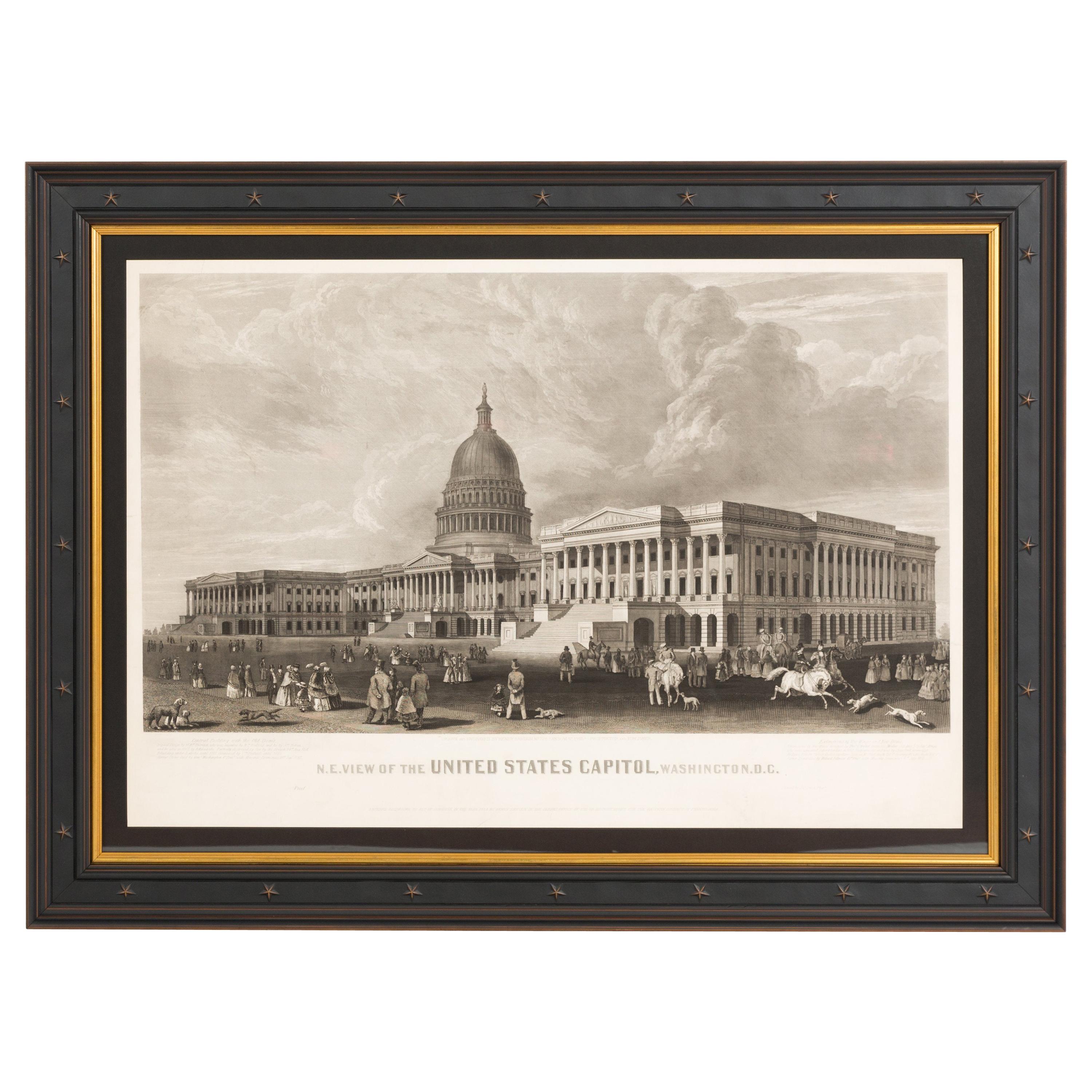
Mostra tuttoN.E. Veduta del Campidoglio degli Stati Uniti, Washington, DC Stampa antica di prova 1858
Questa stampa incisa mostra una veduta dell'edificio del Campidoglio degli Stati Uniti a Washington. La stampa ritrae l'edificio neoclassico con orientamento a nord-est e una vivace ...
Categoria
Di antiquariato/d’epoca, Anni 1850, Americano, Stampe
Materiali
Carta

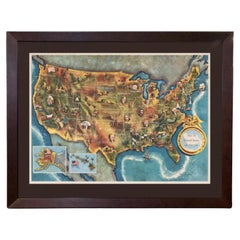
1960 "I 50 Stati Uniti d'America", mappa pittorica di Lorin Thompson
Questa mappa colorata degli Stati Uniti è stata disegnata da Lorin Thompson e pubblicata dalla General Foods Corporation nel 1960. La mappa è stata pubblicata come opuscolo promozion...
Categoria
Vintage, Anni 1960, Mid-Century moderno, Stampe
Materiali
Carta
1.750 USD Prezzo promozionale
22% in meno
"Gli inglesi consegnano le loro armi al Gen. Washington..." dopo Renault, 1819
Viene presentata un'incisione intitolata "Gli inglesi che consegnano le armi al Gen. Washington dopo la sconfitta a Yorktown, in Virginia, nell'ottobre del 1781". La dedica continua ...
Categoria
Di antiquariato/d’epoca, Anni 1810, Americano, Federale, Stampe
Materiali
Carta

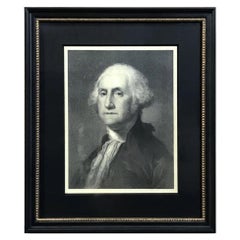
"G. Washington" Litografia da Gilbert Stuart
Di Gilbert Stuart
Viene presentato un bel ritratto litografato di George Washington. Questa litografia è basata su un dipinto di Gilbert Stuart, il famoso ritratto del busto "Athanaeum" del 1796. Wash...
Categoria
Di antiquariato/d’epoca, XIX secolo, Americano, Federale, Stampe
Materiali
Carta
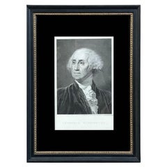
"Georgius Washington" Incisione di Giuseppe Longhi, 1817
Viene presentato un bel ritratto inciso di George Washington dell'artista italiano Giuseppe Longhi. Intitolata "Georgius Washington", questa incisione fu pubblicata a Padua nel 1817....
Categoria
Di antiquariato/d’epoca, Anni 1810, Italiano, Federale, Stampe
Materiali
Carta
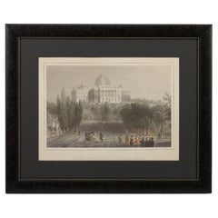
"Veduta del Campidoglio a Washington" Stampa, dopo William Bartlett
Viene presentata un'incantevole incisione colorata a mano di "Vista del Campidoglio a Washington". L'incisione è tratta dall'incisione di William Henry Bartlett con lo stesso titolo,...
Categoria
Di antiquariato/d’epoca, Fine XIX secolo, Americano, Vittoriano, Stampe
Materiali
Carta
Ti potrebbe interessare anche
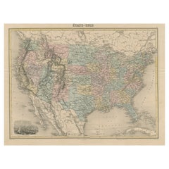
Carta geografica antica degli Stati Uniti con vignetta di Washington
Carta geografica antica intitolata "États-Unis". Un'attraente e dettagliata mappa degli Stati Uniti della fine del XIX secolo, con una bella vignetta decorativa di Washington. La vas...
Categoria
Di antiquariato/d’epoca, Fine XIX secolo, Mappe
Materiali
Carta
444 USD Prezzo promozionale
20% in meno
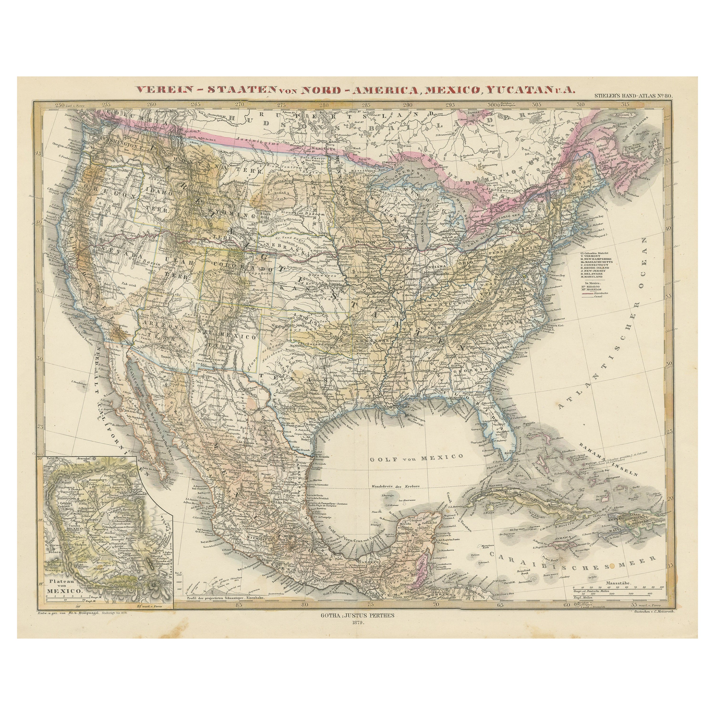
Mappa antica degli Stati Uniti con inserto della regione di Città del Messico
Carta geografica antica intitolata "Verein-Staaten von Nord-America, Mexico, Yucatan u.a.". Mappa molto dettagliata degli Stati Uniti d'America che mostra i Caraibi. Con una mappa de...
Categoria
Di antiquariato/d’epoca, Metà XIX secolo, Mappe
Materiali
Carta

796 USD Prezzo promozionale
20% in meno
Piccola mappa degli Stati Uniti
Carta geografica antica intitolata 'Amérique septe. Fisico". Piccola mappa degli Stati Uniti. litografata dai fratelli C. Callewaert a Bruxelles nel 1870 circa.
Categoria
Di antiquariato/d’epoca, Metà XIX secolo, Mappe
Materiali
Carta

69 USD Prezzo promozionale
20% in meno
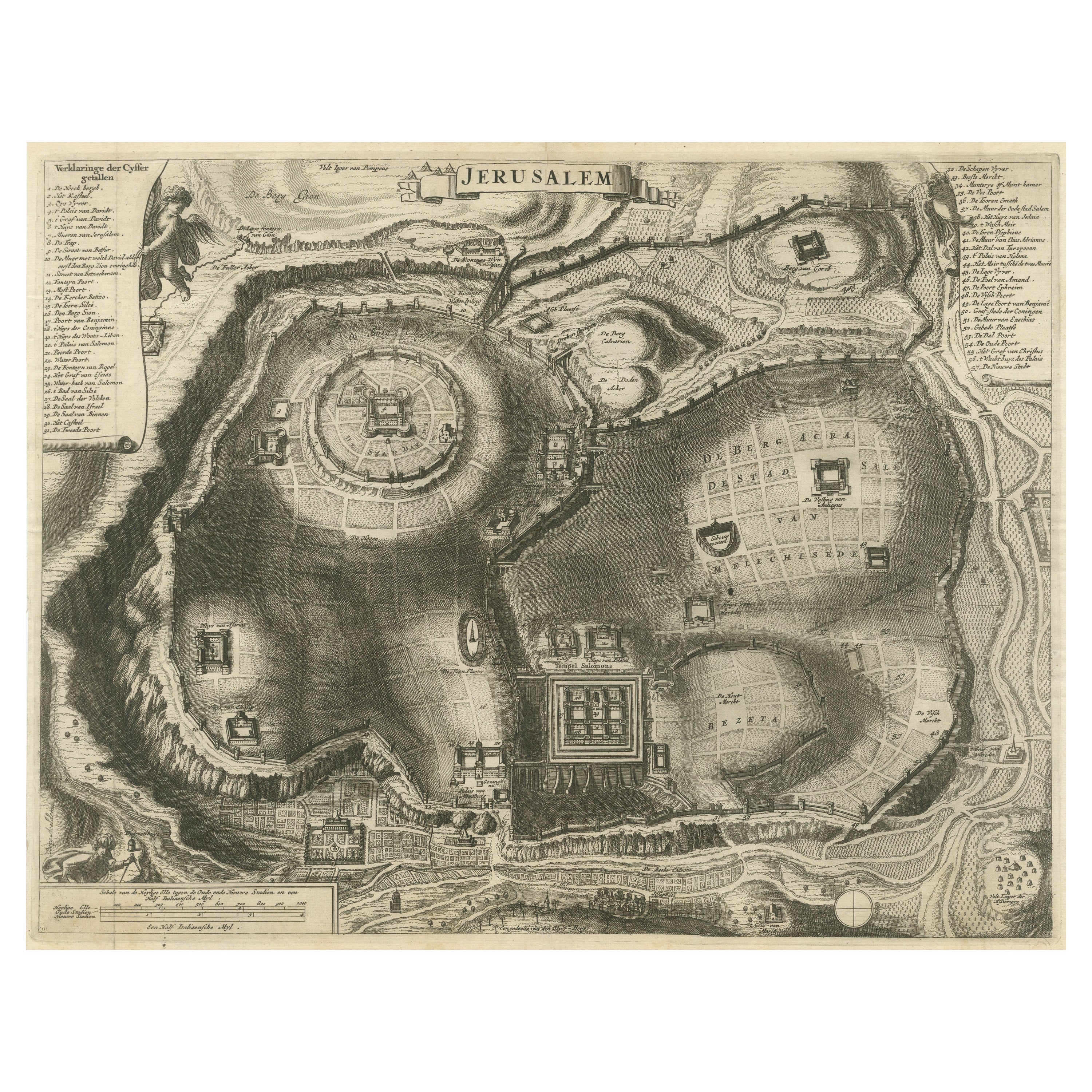
Pianta antica della città di Gerusalemme
Mappa antica intitolata "Gerusalemme". Pianta dell'antica città di Gerusalemme. Con chiave e scala estesa. Fonte sconosciuta, da determinare.
Cornelis de Bruijn (scritto anche Corne...
Categoria
Di antiquariato/d’epoca, Fine XVII secolo, Stampe
Materiali
Carta
500 USD Prezzo promozionale
20% in meno
Mappa antica con colorazione a mano degli Stati Uniti e dei Caraibi
Carta geografica antica intitolata "Verein-Staaten von Nord-America, Mexico, Yucatan u.a.". Mappa molto dettagliata degli Stati Uniti d'America che mostra i Caraibi. Con una mappa de...
Categoria
Di antiquariato/d’epoca, Fine XIX secolo, Mappe
Materiali
Carta

518 USD Prezzo promozionale
20% in meno
Mappa antica degli Stati Uniti orientali con inserto del Texas
Carta geografica antica intitolata "Verein-Staaten von Nord-America mit Ausnahme Florida's und der Westlichen Territorien". Questa mappa si estende a ovest fino alla Louisiana e incl...
Categoria
Di antiquariato/d’epoca, Metà XIX secolo, Mappe
Materiali
Carta

500 USD Prezzo promozionale
20% in meno