Heinrich Kiepert On Sale

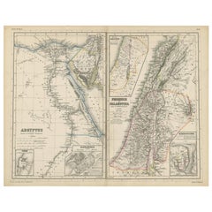
Antique Map of Egypt and Palestina by H. Kiepert 'circa 1870'
By Heinrich Kiepert
Located in Langweer, NL
Antique map titled 'Aegyptus, Phoenice et Palestina'. With inset maps of Tyrus, Alexandria and Hierosolyma. This map originates from 'Atlas Antiquus. Zwölf Karten zur Alten Geschicht...
Category

Antique Late 19th Century Maps

Materials

Paper

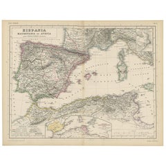
Antique Map of Spain, Mauritia and Africa by H. Kiepert, circa 1870
By Heinrich Kiepert
Located in Langweer, NL
Antique map titled 'Hispania, Mauretania et Africa'. This map originates from 'Atlas Antiquus. Zwölf Karten zur Alten Geschichte' by H. Kiepert. Published in Berlin, circa 1870.
Category

Antique Late 19th Century Maps

Materials

Paper

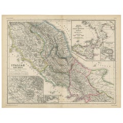
Antique Map of Italy and Greece by H. Kiepert, circa 1870
By Heinrich Kiepert
Located in Langweer, NL
Antique map titled 'Italiae pars media'. This map originates from 'Atlas Antiquus. Zwölf Karten zur Alten Geschichte' by H. Kiepert. Published in Berlin, circa 187.
Category

Antique Late 19th Century Maps

Materials

Paper

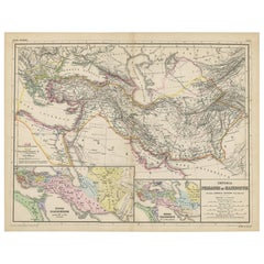
Antique Map of Part of the Roman Empire by H. Kiepert, circa 1870
By Heinrich Kiepert
Located in Langweer, NL
Antique map titled 'Imperia Persarum et Macedonum'. Depicts part of the Roman Empire, from Greece to Eastern India. This map originates from 'Atlas Antiqus. Zwölf Karten zur Alten Ge...
Category

Antique Late 19th Century Maps

Materials

Paper

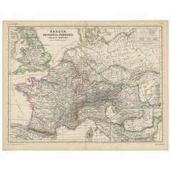
Antique Map of Western Europe by H. Kiepert, circa 1870
By Heinrich Kiepert
Located in Langweer, NL
Antique map titled 'Gallia, Britannia, Germania'. This map depicts a large part of Western Europe including countries like Germany, France, Great Britain, The Netherlands and more. T...
Category

Antique Late 19th Century Maps

Materials

Paper

People Also Browsed

Four 18th Century Engraved and Hand-Colored Maps by Weigel
By Christoph Weigel
Located in Copenhagen, K
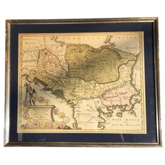
Small collection of four engraved maps of Italy, Balkan and of Central Asia. Two are of Italy, one Corsica and Northern Italy and the other of the Southern Italian boot. All are...
Category

Antique 18th Century German Maps

Materials

Paper

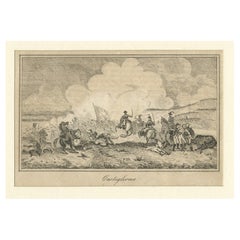
Napoleon Beating Austrians The Battle of Castiglione Italy Old Print, 1800
Located in Langweer, NL
Antique print titled 'Castiglione'. Original antique print of the Battle of Castiglione. The Battle of Castiglione saw the French Army of Italy under General Napoleon Bonaparte a...
Category

Antique Early 1800s Prints

Materials

Paper

Ancient Italy: Regions and Rome in the Roman Empire, Published in 1880
Located in Langweer, NL
This print is an original detailed map titled "ITALIAE REGIONES I VII VIII IX XI," representing the regions of ancient Italy. Key Features of the Print: 1. **Regional Demarcations...
Category

Antique 1880s Maps

Materials

Paper

Stunning Decorative Antique Map of Venice in Italy, ca.1787
Located in Langweer, NL
Title: Piano elevato dell'inclita città di Venezia Bird's-eye view (etching) of Venice. Print made by: Marco Sebastiano Giampiccoli After: Matthäus Merian I Two copper engraved sh...
Category

Antique Late 18th Century Maps

Materials

Paper

Stunning Decorative Antique Map of Venice in Italy, ca.1787
Free Shipping
H 12.6 in W 28.75 in D 0 in
Carl Auböck Neptune Fish Bottle Opener, Leather & Steel by Amboss Austria, 1950s
By Werkstätte Carl Auböck
Located in Vienna, AT
A beautiful fish-shaped mid-century bottle opener, made of stainless steel, covered with dark-brown tan leather. Model #4687, designed in 1995 by Carl Auböck, Vienna. Executed by Amb...
Category

Mid-20th Century Austrian Mid-Century Modern Barware

Materials

Stainless Steel

Louis XVI Style Gilt-Bronze Mantel Clock by Henri Picard & Fedinand Barbedienne
By F. Barbedienne Foundry
Located in Los Angeles, CA
A Very Fine French 19th Century Gilt-Bronze Figural Mantel Clock, Horloge à Poser, by Henri Picard and Fedinand Barbedienne - ‘F. Barbédienne & Cie. / A Paris’, after the model by É...
Category

Antique 19th Century French Louis XVI Mantel Clocks

Materials

Bronze, Ormolu

Antique Copperplate Engraving of Ruins of the Temple of Hermopolis, 1820
Located in Langweer, NL
This is an 1820 copperplate engraving by Denon, expertly crafted by Hawkesworth, depicting the ruins of the Temple of Hermopolis in Egypt. Ruins of the Temple of Hermopolis, Upper ...
Category

Antique Early 1800s Prints

Materials

Paper

Isles of Enchantment: The Balearic Archipelago in 1902
Located in Langweer, NL
The Balearic Islands, Spain, from the year 1902. The title on the map is "ISLAS BALEARES 1902." This map illustrates the Balearic archipelago in the Mediterranean Sea, highlighting t...
Category

Antique Early 1900s Maps

Materials

Paper

Isles of Enchantment: The Balearic Archipelago in 1902
Free Shipping
H 14.77 in W 20.08 in D 0 in
Napoleon's Final Voyage: HMS Bellerophon on the Waters of Exile, 1872
Located in Langweer, NL
This original antique image is a print depicting the H.M.S. Bellerophon, a ship of the British Royal Navy. The print is rendered in a monochromatic color scheme with subtle hand colo...
Category

Antique 1870s Prints

Materials

Paper

Sèvres Palace Porcelain Urns
By Manufacture Nationale de Sèvres
Located in New Orleans, LA
These bronze-mounted Sèvres porcelain urns are monumental in both size and quality and feature the renowned manufactory’s signature deep cobalt blue glaze. Sèvres urns were made in v...
Category

Antique 19th Century French Rococo Urns

Materials

Bronze, Ormolu

Sèvres Palace Porcelain Urns
H 48.25 in W 23 in D 17 in
1880s Map of The Italian Alps from Milan to Lake Garda
Located in Roma, IT
Geographical Map of the Profile and Elevation of the Italian Alps from Milano to Lake Garda. The map features the name of each peak and key cities including Monza, Brescia and Bergam...
Category

Antique 1880s Italian Maps

Materials

Parchment Paper

Set of 4 Antique Geographical Maps French-German War 1870-71
Located in Casale Monferrato, IT
Elegant late 19th century set of four antique geographical maps relating to the positioning of the armies in the Franco-German War 1870-71. Author: Historical Section of the Great Ge...
Category

Antique 1890s Italian Maps

Materials

Paper

Chronological Table of Popes in Church History, circa 1880
Located in Langweer, NL
Title: Histoire de l’Église (History of the Church) Napoléon Thomas (1804-1879) This chronological table of popes from St. Peter to Pope Pius IX (who died in 1878) presents them in ...
Category

Antique Late 19th Century Prints

Materials

Paper

Chronological Table of Popes in Church History, circa 1880
Free Shipping
H 21.86 in W 30.12 in D 0 in
Antique Map of The Regions of Italy and Sicily during the Roman Empire, 1880
Located in Langweer, NL
This map is an original antique engraving titled "ITALIAE REGIONES IIII SICILIA," which translates to "The Regions of Italy and Sicily." This detailed historical map portrays the reg...
Category

Antique 1880s Maps

Materials

Paper

Antique Map of Northern Africa "Barbary Coast" by R. Bonne, circa 1780
Located in Langweer, NL
A fine example of Rigobert Bonne and Guilleme Raynal’s 1780 map of northwestern Africa or the Barbary Coast. Includes the modern day countries of Morocco, Algeria, Tunisia, Libya, an...
Category

Antique Late 18th Century Maps

Materials

Paper

Antique Map of Northern Italy by J. Tallis, circa 1851
Located in Langweer, NL
A highly decorative mid-19th century map of Northern Italy which was drawn and engraved by John Rapkin (vignettes by A. H. Wray & J. B. Allen) and published in John Tallis & co.'s Th...
Category

Antique Mid-19th Century Maps

Materials

Paper

Antique Map of Northern Italy by J. Tallis, circa 1851
No Reserve
H 10.44 in W 14.69 in D 0.02 in

Recent Sales

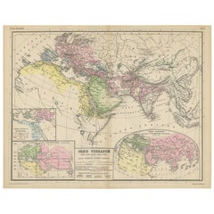
Antique Map of the World by H. Kiepert, circa 1870
By Heinrich Kiepert
Located in Langweer, NL
Antique map titled 'Orbis Terrarum'. This map originates from 'Atlas Antiquus. Zwölf Karten zur Alten Geschichte' by H. Kiepert. Published in Berlin, circa 1870.
Category

Antique Late 19th Century Maps

Materials

Paper

Antique Map of Rome 'Italy' by H. Kiepert, circa 1870
By Heinrich Kiepert
Located in Langweer, NL
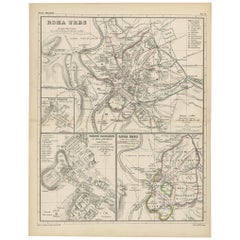
Antique map titled 'Roma Urbs'. This map originates from 'Atlas Antiquus. Zwölf Karten zur Alten Geschichte' by H. Kiepert. Published in Berlin, circa 187.
Category

Antique Late 19th Century Maps

Materials

Paper

Antique Map of Italy by H. Kiepert, circa 1870
By Heinrich Kiepert
Located in Langweer, NL
Antique map titled 'Italia'. This map originates from 'Atlas Antiquus. Zwölf Karten zur Alten Geschichte' by H. Kiepert. Published in Berlin, circa 1870.
Category

Antique Late 19th Century Maps

Materials

Paper

Antique Map of Italy by H. Kiepert, circa 1870
H 14.38 in W 18.31 in D 0.02 in
Antique Map of Greece by H. Kiepert, circa 1870
By Heinrich Kiepert
Located in Langweer, NL
Antique map titled 'Graecia'. With an inset map of Athens and the surroundings of Athens. This map originates from 'Atlas Antiquus. Zwölf Karten zur Alten Geschichte' by H. Kiepert. ...
Category

Antique Late 19th Century Maps

Materials

Paper

Antique Map of the Roman Empire by H. Kiepert, circa 1870
By Heinrich Kiepert
Located in Langweer, NL
Antique map titled 'Imperium Romanium'. This map depicts a large part of Europe including countries like Germany, France, Spain, Italy, Great Britain, The Netherlands and more. This ...
Category

Antique Late 19th Century Maps

Materials

Paper

Get Updated with New Arrivals
Save "Heinrich Kiepert On Sale", and we’ll notify you when there are new listings in this category.

Heinrich Kiepert On Sale For Sale on 1stDibs

At 1stDibs, there are many versions of the ideal heinrich kiepert on sale for your home. Frequently made of paper, every heinrich kiepert on sale was constructed with great care.

Finding the Right collectibles-curiosities for You

Antique and vintage collectibles and curiosities can bring whimsy and wonder to any interior. 

Decorating with old scientific instruments, historical memorabilia and vintage musical instruments, as well as other authentic collectibles and curiosities that can be found on 1stDibs, presents an opportunity to create a unique, natural history museum-like atmosphere in your home that can provoke conversation as often as it pays tribute to how far we’ve come in understanding our world. 

And bringing collectibles and curiosities into your space is actually on trend — Wunderkammern, or curiosity cabinets, were all the rage in Europe during the 1500s and continued to have adherents there and in the U.S. in the following centuries. Today, however, they’re experiencing a real surge in popularity and influencing how many interior designers are furnishing and decorating homes — combining contemporary with antique, scientific with tribal, earthly with extraterrestrial, Les Lalanne tables with Flemish tapestries.

The original Wunderkammern were entire rooms filled with objects demonstrating their owners’ worldly knowledge: A proper one included artificiala or preciosa (objets d’art); naturalia (such as skeletons, shells, minerals); exotica (taxidermy or dried plants); and scientifica (scientific instruments), frequently alongside religious relics and ancient artifacts.

Pay tribute to a history of rich and diverse musical traditions that have taken shape all over the world by decorating your home with a collection of antique and vintage musical instruments — with a little help from strong hanging wire or some wall hooks, vintage brass instruments such as a gong, French horn or trumpet can help elevate a home office or complement the efforts you’ve made to ensure a welcoming vibe in your home’s entryway. Bells or antique wind instruments can add provocative metallic contrasts to dark woods as tabletop decorative objects.  

Create an intriguing focal point with Georgian scientific instruments, such as stick barometers with mahogany cases or lacquered brass telescopes. These items stem from an era named for the monarchies of the four King Georges, who ruled England in succession starting in 1714 (plus King William’s reign, which lasted until 1837). Just as there was beautiful jewelry produced during the period that today is coveted by collectors, there is much to be found in the collectibles and curiosities realm too.

Wanderlust, nostalgia and a shared love of good design are contributing factors to certain trends in decorating — just as vintage trunks and luggage have reappeared as furniture or home accents in a bedroom or foyer, decorating with globes, maps or nautical objects is similarly rooted in the allure of travel and a penchant for the stylish finishing touch that collectibles bring to our homes.

Find a wide range of antique and vintage collectibles and curiosities on 1stDibs.