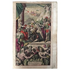
Atlas Minor Du Monde World Geography 1695 17th Century in Hand Colored
View Similar Items


1 of 20
Atlas Minor Du Monde World Geography 1695 17th Century in Hand Colored
About the Item
- Creator:Pierre Mortier (Manufacturer)
- Dimensions:Height: 2.76 in (7 cm)Width: 29.53 in (75 cm)Depth: 21.26 in (54 cm)
- Style:Renaissance (Of the Period)
- Materials and Techniques:Paper,Amsterdam School
- Place of Origin:
- Period:
- Date of Manufacture:1695
- Condition:Wear consistent with age and use. Minor losses.
- Seller Location:Diest, BE
- Reference Number:1stDibs: LU271437357533

Pierre Mortier
Pierre Mortier, also referred to as Pieter Mortier, was a Dutch designer. He was known for his activity as a bird's eye map illustrator.
You May Also Like
- Northern Scotland: A 17th Century Hand-colored Map by MercatorBy Gerard MercatorLocated in Alamo, CAThis is a framed hand-colored 17th century map of Northern Scotland by Gerard Mercator entitled "Scotiae pars Septentrionalis", published in Amsterdam in 1636. It is a highly detailed map of the northern part of Scotland, with the northwest Highlands and the cities Inverness and Aberdeen, as well as the Orkney Islands and the Hebrides. There is a decorative title cartouche in the upper left corner. The map is presented in an antiqued brown wood...Category
Antique 1630s Dutch Maps
MaterialsPaper
- "Africa Vetus": a 17th Century Hand-Colored Map by SansonBy Nicolas SansonLocated in Alamo, CAThis original hand-colored copperplate engraved map of Africa entitled "Africa Vetus, Nicolai Sanson Christianiss Galliar Regis Geographi" was originally created by Nicholas Sanson d...Category
Antique Late 17th Century French Maps
MaterialsPaper
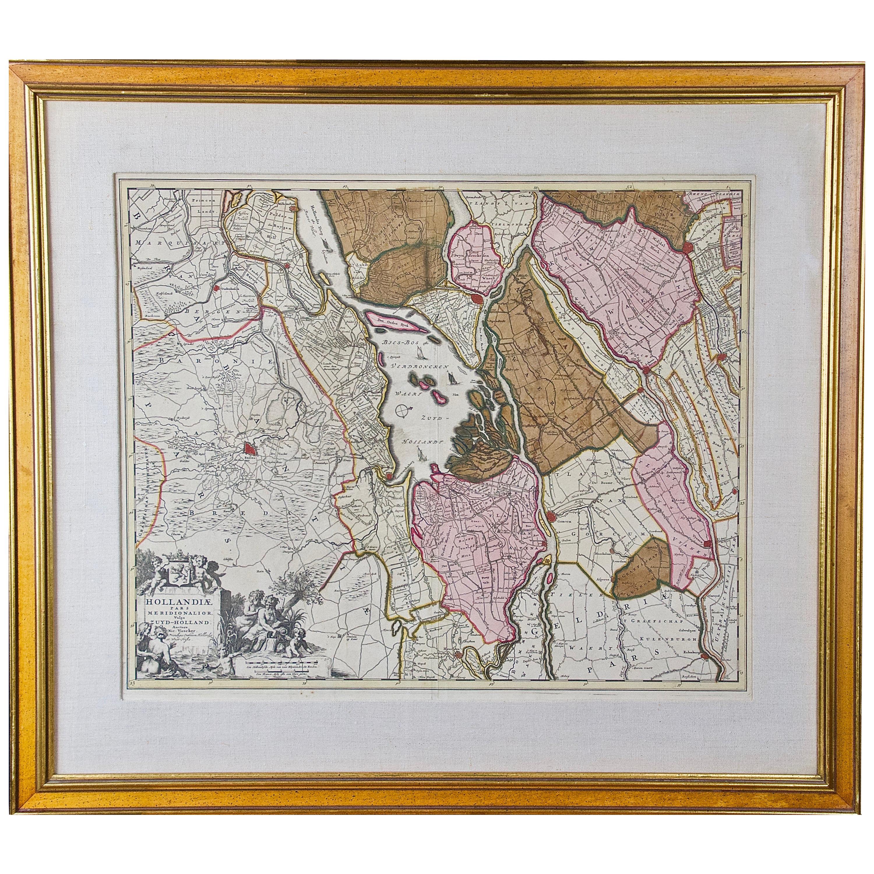
- Hand Colored 17th Century Visscher Map "Hollandiae" Southern HollandBy Nicolaes Visscher IILocated in Alamo, CAA hand colored 17th century map of the southern portions of Holland by Nicolaus (Nicolas) Visscher II entitled "Hollandiae pars Meridionalis, vulgo Zuyd-Holland", published in Amsterdam in 1678. The map shows the region between Breda, Heusden, Gornichem, Gouda, Dordrecht, and Willemstad. It includes a decorative cartouche in the lower left corner. The map is presented in an attractive maple colored wood frame with gold trim and a fabric mat. The Visscher family were one of the great cartographic families of the 17th century. Begun by Claes Jansz Visscher...Category
Antique Early 18th Century Dutch Maps
MaterialsPaper
- 17th Century Hand-Colored Map of a Region in West Germany by JanssoniusBy Johannes JanssoniusLocated in Alamo, CAThis attractive highly detailed 17th century original hand-colored map is entitled "Archiepiscopatus Maghdeburgensis et Anhaltinus Ducatus cum terris adjacentibus". It was published ...Category
Antique Mid-17th Century Dutch Maps
MaterialsPaper
- Greece, "Graeciae Antiquae"" A 17th Century Hand-colored Map by SansonBy Nicolas SansonLocated in Alamo, CAThis is an original 17th century hand colored copperplate engraved map of Greece entitled "Graeciae Antiquae Tabula Hanc Geographicam" by Nicolas d'Abbeville Sanson, engraved and pub...Category
Antique Mid-17th Century French Maps
MaterialsPaper
- National Geographic Atlas of the World, Eighth Edition Hardcover BookLocated in North Hollywood, CANational Geographic Atlas of the World, Eighth Edition National Geographic This is a beautiful large library or hardcover coffee table book. Title: National Geographic Atlas of th...Category
Early 2000s Maltese Mid-Century Modern Books
MaterialsPaper


Recently Viewed
View AllMore Ways To Browse
Antique Atlas Furniture
World Atlas
Used World Atlas
Antique Geography
Antique World Atlas
Du Monde
Dated 17th Century Furniture
Antique School Books
World Map Books
Antique Books Amsterdam
Mortier Antique
Map Monde Antique
Old School Maps
Map Monde
Atlas Du Monde Antique
Tashen Books
Used Furniture Aurora Co
Purple Boon