Items Similar to Contents of Broadhollow, Oyster Bay, Long Island, N.Y. Property of Percy Uris

Want more images or videos?
Request additional images or videos from the seller
1 of 21
Contents of Broadhollow, Oyster Bay, Long Island, N.Y. Property of Percy Uris
About the Item
The Contents of Broadhollow, Oyster Bay, Long Island, N.Y. The Property of the Estate of Mrs. Percy Uris, by Christie's (New York). This auction catalog consists of 122 pages with 1,018 lots all illustrated in color and black & white, and described in detail.
NPT Books a division of N.P. Trent Antiques has a large collection of used and out of print books on art, architecture, decoration and antiques with a focus on 1st editions, signed and limited editions.
- Dimensions:Height: 10 in (25.4 cm)Width: 8 in (20.32 cm)Depth: 0.25 in (6.35 mm)
- Materials and Techniques:
- Place of Origin:
- Period:1980-1989
- Date of Manufacture:1985
- Condition:cover has light wear.
- Seller Location:valatie, NY
- Reference Number:
NPT Books
NPT Books, a division of N. P. Trent Antiques, was established in 1982 and serves clients in the US and around the world. We offer a large selection of used and out of print books mainly concentrating on art, architecture, decoration and antiques with a large focus on 1st editions, signed and rare limited editions. Member of The Art and Antique Dealers League of America since 1996.
About the Seller
5.0
Platinum Seller
These expertly vetted sellers are 1stDibs' most experienced sellers and are rated highest by our customers.
Established in 1980
1stDibs seller since 2017
1,227 sales on 1stDibs
Typical response time: 1 hour
- ShippingRetrieving quote...Ships From: valatie , NY
- Return PolicyA return for this item may be initiated within 3 days of delivery.
More From This SellerView All
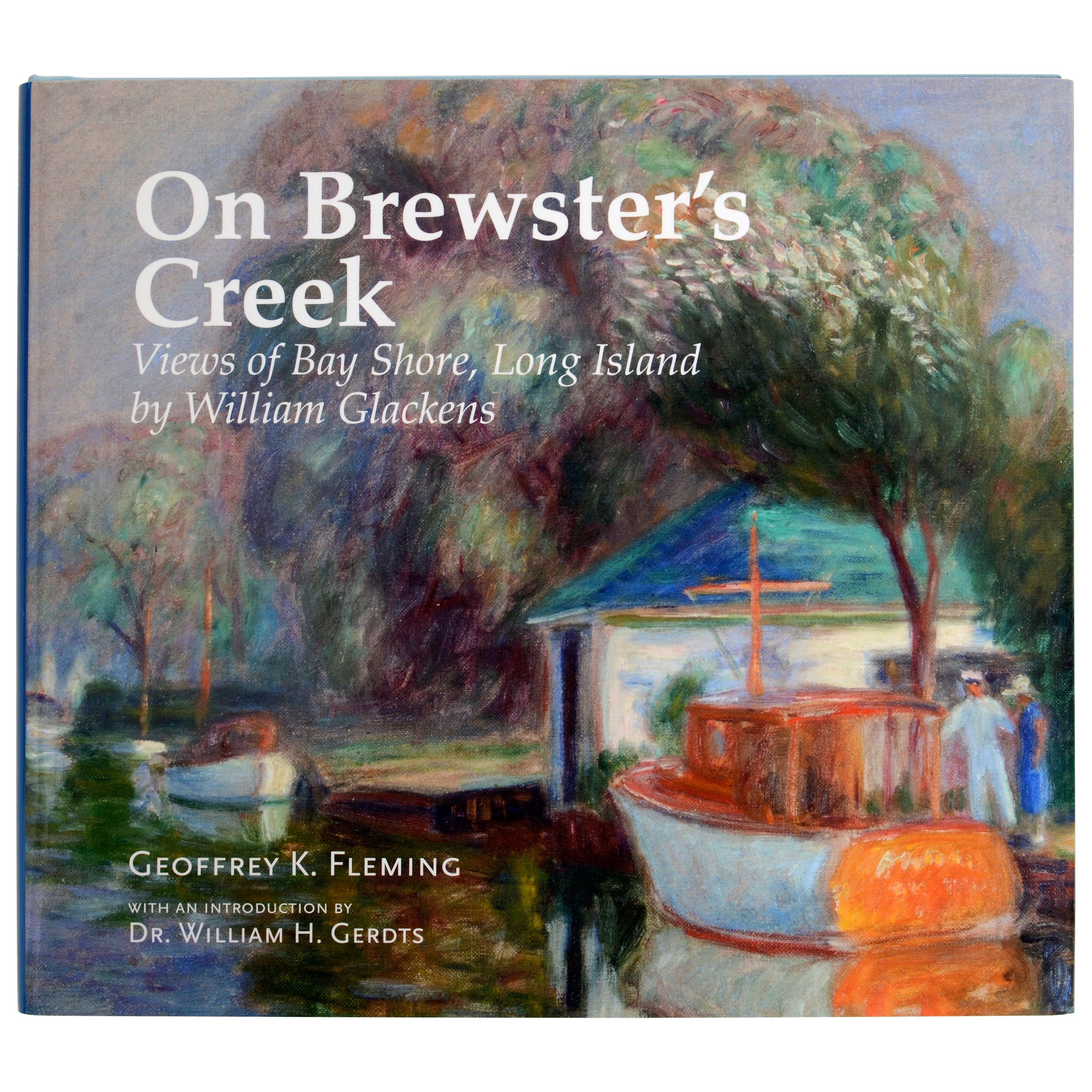
- On Brewster's Creek Views of Bay Shore, Long Island by William Glackens, 1st EdLocated in valatie, NYOn Brewster's Creek: Views of Bay Shore, Long Island by William Glackens, by Geoffrey K. Fleming. Huntington Museum of Art, 2017. Stated 1st Ed hardcover with dust jacket. The book h...Category
2010s American Books
MaterialsPaper
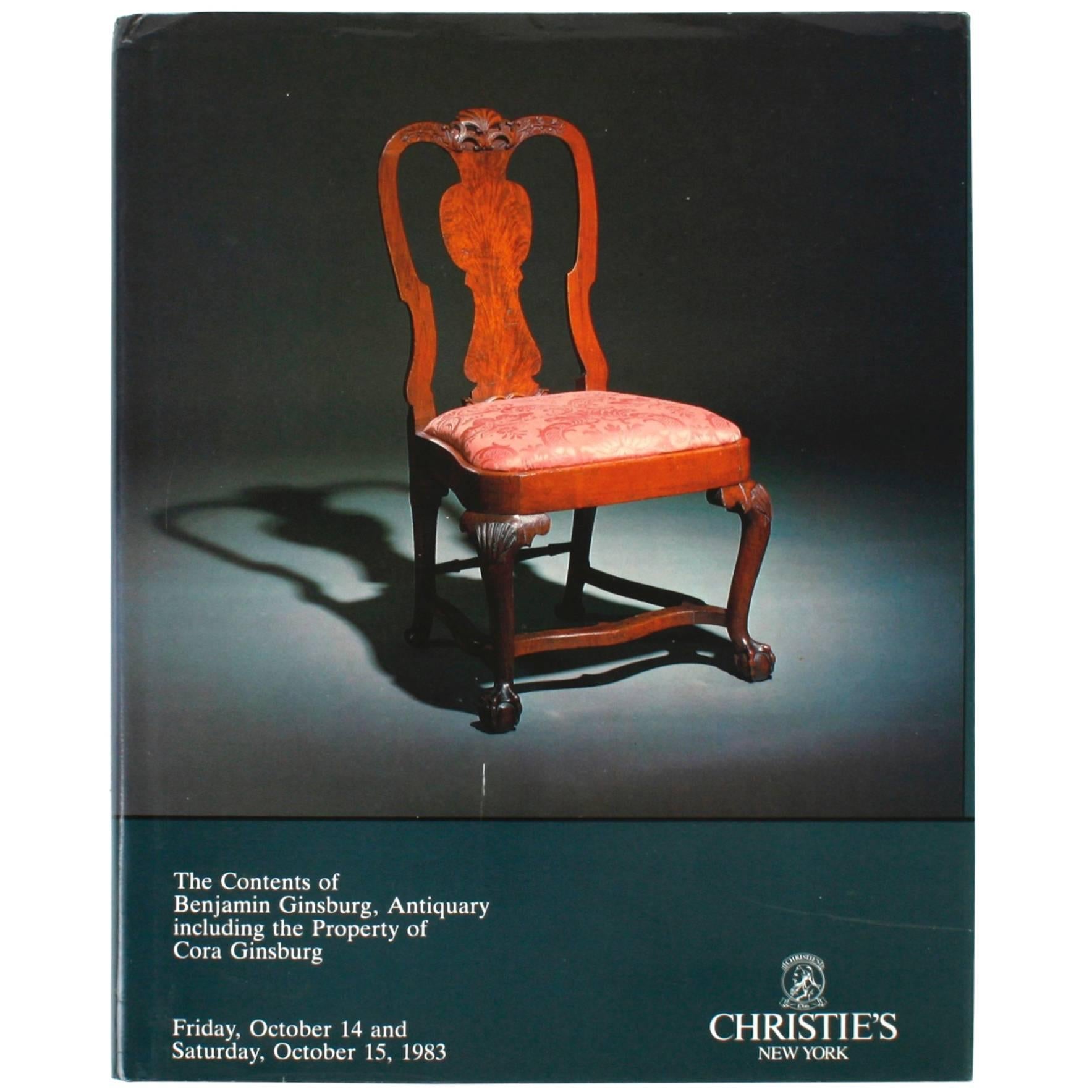
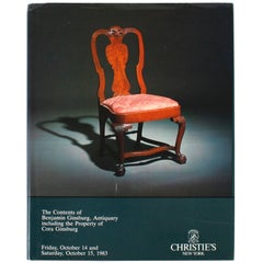
- Christie's, Contents of Benjamin Ginsburg Antiquary, October 1983Located in valatie, NYChristie's: Contents of Benjamin Ginsburg Antiquary, October 1983. NPT Books, a division of N.P. Trent Antiques, has a large collection of used and out of...Category
Vintage 1980s American Books
MaterialsPaper
- Sotheby's: Important American Furniture, Contents of "Langdon, " 2/1985Located in valatie, NYSotheby's: Important American Furniture, Contents of "Langdon," 2/1985. First edition softcover with 142 lots photographed in color and B&W, fully d...Category
Vintage 1980s American Books
MaterialsPaper
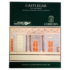
- Christie's Sale Catalogue of the Contents of Castlegar, Ballinalsoe, Co. GalwayBy Christie'sLocated in valatie, NYChristie's Sale Catalogue of the Contents of Castlegar, Ballinalsoe, Co. Galway and remaining contents of Somerton, Castleknock on 24th and 25th May, 1988. 1st Ed softcover auction c...Category
Vintage 1980s Northern Irish Books
MaterialsPaper
- Beaux-Arts Estates, A Guide to the Architecture of Long Island, First EditionBy Liisa and Donald SclareLocated in valatie, NYBeaux-Arts Estates, A Guide to the Architecture of Long Island by Liisa and Donald Sclare. New York: Viking Press, 1980. First edition hardcover with dust jacket. 274 pp. A tour of t...Category
20th Century American Books
MaterialsPaper
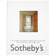
- Sotheby's; Charles & Barbara Robertson Collection: Contents of Combe Hay, Vol IILocated in valatie, NYSotheby's; The Charles & Barbara Robertson Collection: The Contents of Combe Hay, Vol II 16 December 2002. Charles Robertson and Barbara Fry married ...Category
Early 2000s British Books
MaterialsPaper


You May Also Like
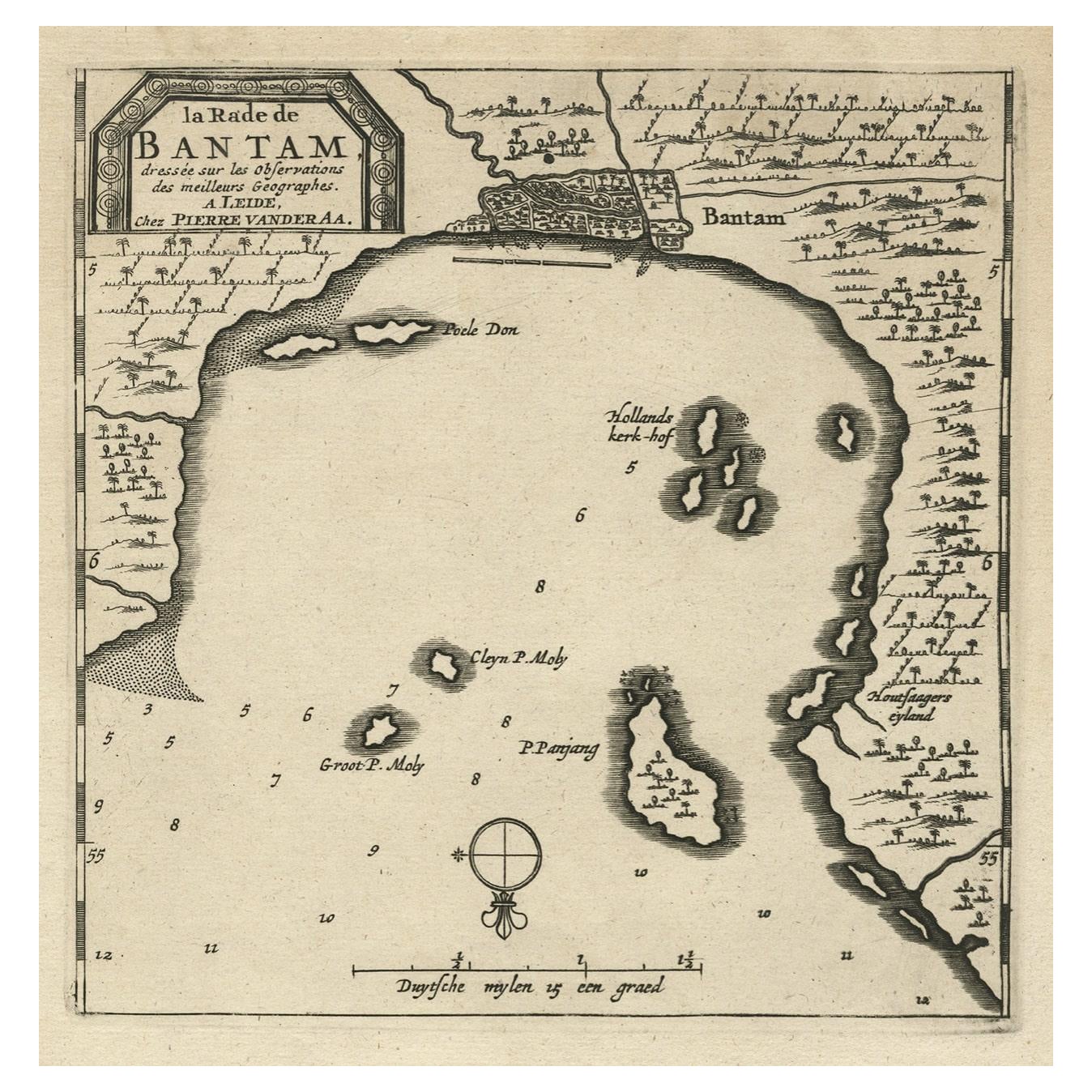
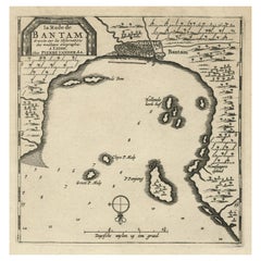
- Antique Map of Banten Bay on Java Island, Indonesia, c.1720Located in Langweer, NLAntique map titled 'La Rade de Bantam'. A small early 18th century black and white map of Banten Bay (or Bantam Bay), located near the northwest co...Category
Antique 18th Century Maps
MaterialsPaper
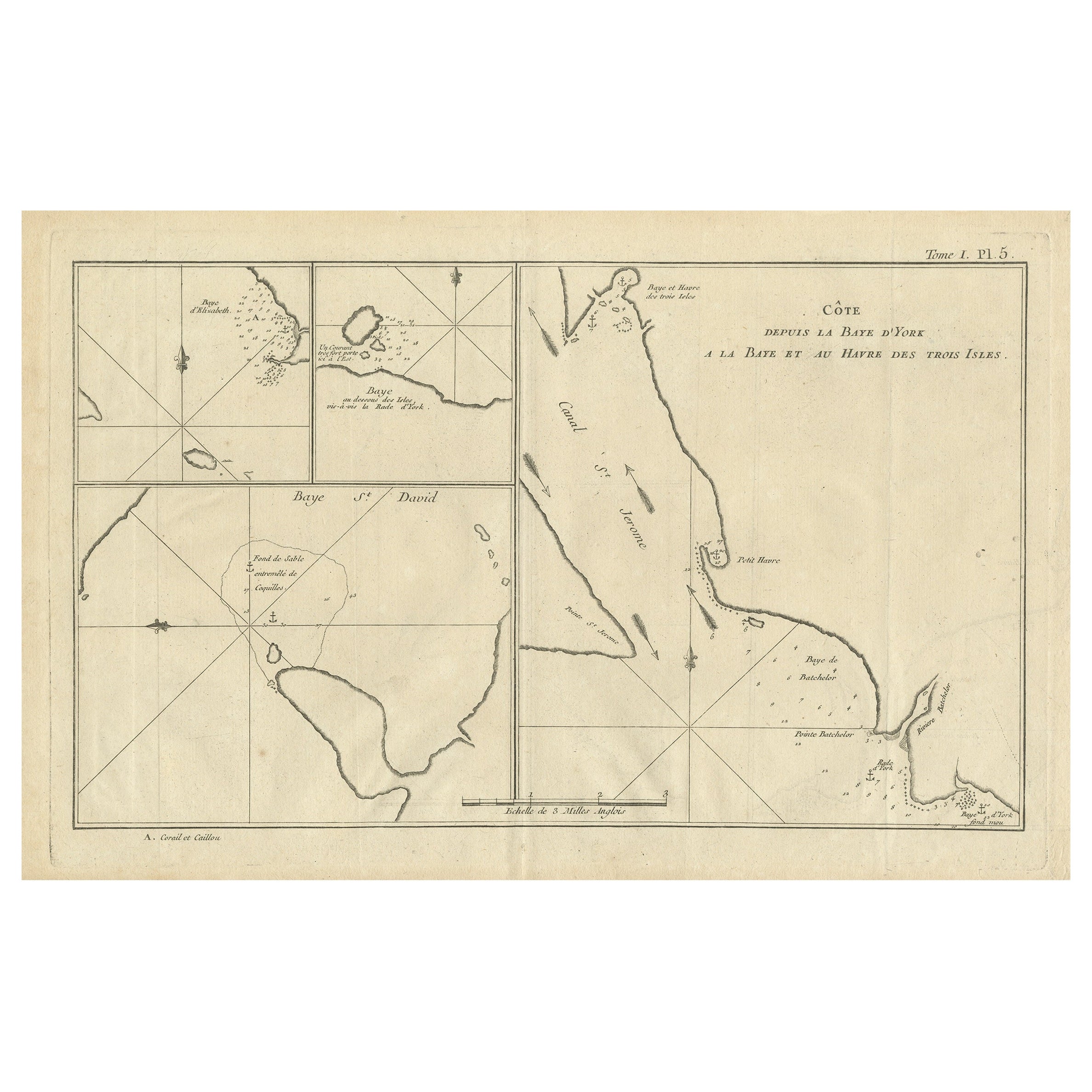
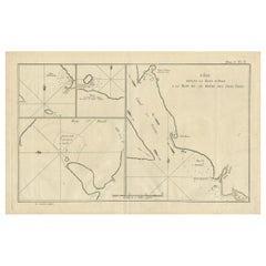
- Antique Map of York's Bay, Haven of the Three Islands and SurroundingsLocated in Langweer, NLAntique map titled 'Baye St. David (..)'. Charts of York's Bay, Haven of the Three Islands, St. David's Bay, and Elizabeth's Bay. This map originates from the French edition of 'An A...Category
Antique Late 18th Century Maps
MaterialsPaper
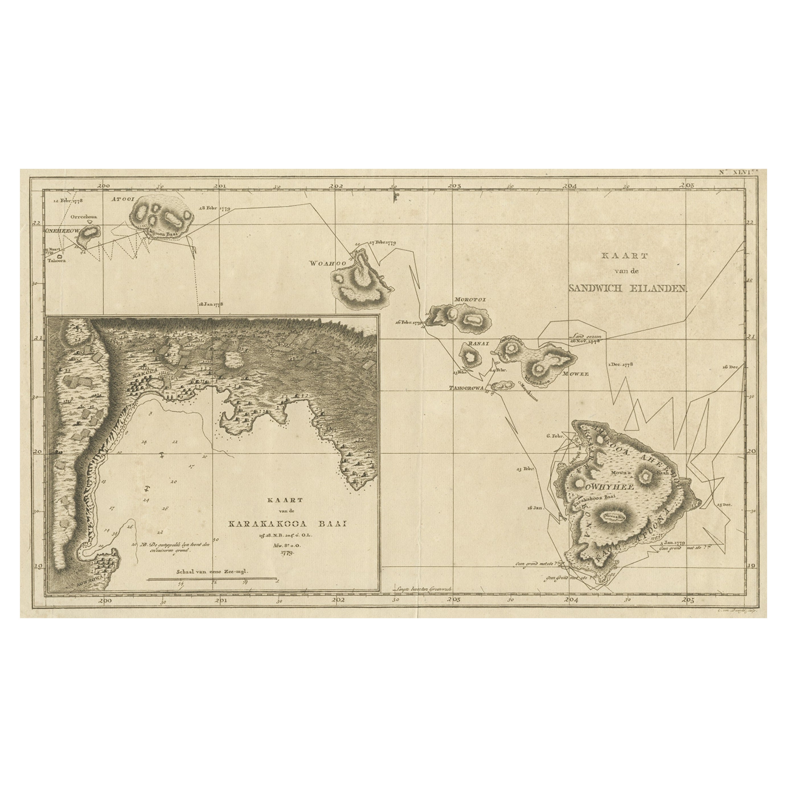
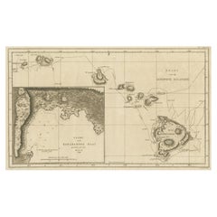
- Map of the Hawaiian Islands with a Large Inset of Karakakooa Bay, 1803Located in Langweer, NLAntique map titled 'Kaart van de Sandwich Eilanden'. Map of the Hawaiian Islands with a large inset of Karakakooa Bay, including soundings and anchorages. Originates from 'Reizen R...Category
Antique Early 1800s Maps
MaterialsPaper
- Long Island Chart from 1828Located in Norwell, MARare original chart of Long Island Sound by E + G Blunt of New York, 179 Water St. "Surveyed in the years 1828, 29 & 30" Exceedingly rare and early chart, titled Long Island Sound fr...Category
Antique 1830s Nautical Objects
MaterialsPaper
- Antique Map of Juan Fernandez Island and Cumberland Bay, Chile - c. '1749'Located in Langweer, NLAntique map titled 'Plan de la Côte du N.E. de l 'Ile de Juan Fernandes - Schets van den Noord-Oost kant van het eiland Juan Fernandes '. This map depicts the northeast coast of the ...Category
Antique Mid-18th Century Maps
MaterialsPaper
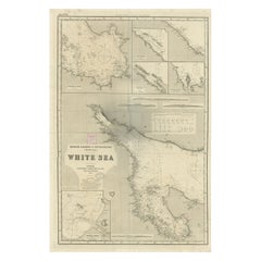
- Uncommon, Large Map of the British Islands to Petshora Bay, 1891Located in Langweer, NLAntique map titled 'British Islands to Petshora Bay - White Sea'. Uncommon, large map of the British Islands to Petshora Bay. It shows the White Sea and inse...Category
Antique 1890s Maps
MaterialsPaper


Recently Viewed
View AllMore Ways To Browse
Long Island Furniture
Long Island Used Furniture
Antique Large Island
Used Office Furniture Long Island
Antique Bay
Oyster Print
Vintage Uri
Antique Oyster Print
West Papua
Bentley Book
Ball And Co Watch
Edith Wharton
Frank Lloyd Wright Imperial
Sumo Book Stand
Scarlet Letter
Virgil Ross
French Bookplates
Charles Fox Ii