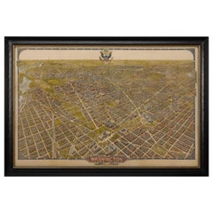
1921 Washington, D.C Bird's Eye View, by William Olsen, Vintage Map
View Similar Items
Want more images or videos?
Request additional images or videos from the seller
1 of 6
1921 Washington, D.C Bird's Eye View, by William Olsen, Vintage Map
About the Item
- Dimensions:Height: 34 in (86.36 cm)Width: 50 in (127 cm)Depth: 1.5 in (3.81 cm)
- Materials and Techniques:
- Place of Origin:
- Period:
- Date of Manufacture:1921
- Condition:Wear consistent with age and use. Minor losses. Minor structural damages.
- Seller Location:Colorado Springs, CO
- Reference Number:Seller: M2571stDibs: LU909714009882
About the Seller
4.9
Platinum Seller
These expertly vetted sellers are 1stDibs' most experienced sellers and are rated highest by our customers.
Established in 2010
1stDibs seller since 2011
402 sales on 1stDibs
Typical response time: 1 hour
More From This SellerView All
- 1840 Map of the City of Washington Published by William M. MorrisonLocated in Colorado Springs, COThis map, printed in 1840, is a detailed representation of Washington, D.C. in the mid-19th century. The map shows block numbers, wards, and government buildings as well as details o...Category
Antique 1840s American Federal Maps
MaterialsPaper
- N.E. View of the United States Capitol, Washington, DC Antique Proof Print 1858Located in Colorado Springs, COThis engraved print shows a view of the United States Capitol Building, in Washington, D.C. The print depicts the neoclassical building from the northeast orientation, with a bustling street scene in front. The steel engraving is a proof printing, drawn and engraved by Henry Sartain and published in 1858. Plans began in May 1854 to build a new cast-iron dome for the United States Capitol. The then-architect of the Capitol Thomas Walter and his team were sold on the aesthetics of a new dome, as well as the utility of a fire-proof one. A year later, on March 3, 1855, President Franklin Pierce...Category
Antique 1850s American Prints
MaterialsPaper
- 1847 “World at One View” Antique Hand-Colored Wall Map of the WorldLocated in Colorado Springs, COThis is a highly desirable hanging wall map of the "World at One View", published in 1847 by Ensign and Thayer, New York. This pictorial map was printed as a broadside and features...Category
Antique 19th Century American Maps
MaterialsPaper
- George Washington Signature CollageLocated in Colorado Springs, COPresented is an original George Washington signature, presented framed with an oval chromolithographed portrait of George Washington printed by E. C....Category
Antique Late 18th Century American Federal Historical Memorabilia
MaterialsPaper
- 1907 Map of Colorado, Antique Topographical Map, by Louis NellLocated in Colorado Springs, COThis highly detailed pocket map is a topographical map of the state of Colorado by Louis Nell from 1907. The map "has been complied from all availabl...Category
Antique Early 1900s American Maps
MaterialsPaper
- "Lady Washington's Reception, " Engraved by A. H. Ritchie, Antique Print, 1865Located in Colorado Springs, COThis 1865, hand-colored engraving by A. H. Ritchie is entitled Lady Washington's Reception and is based on Daniel F. Huntington's original painting "Th...Category
Antique 1860s American Prints
MaterialsPaper


You May Also Like
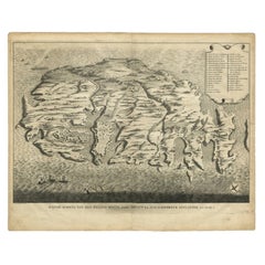
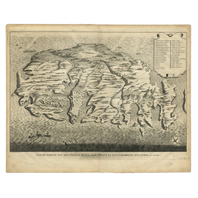
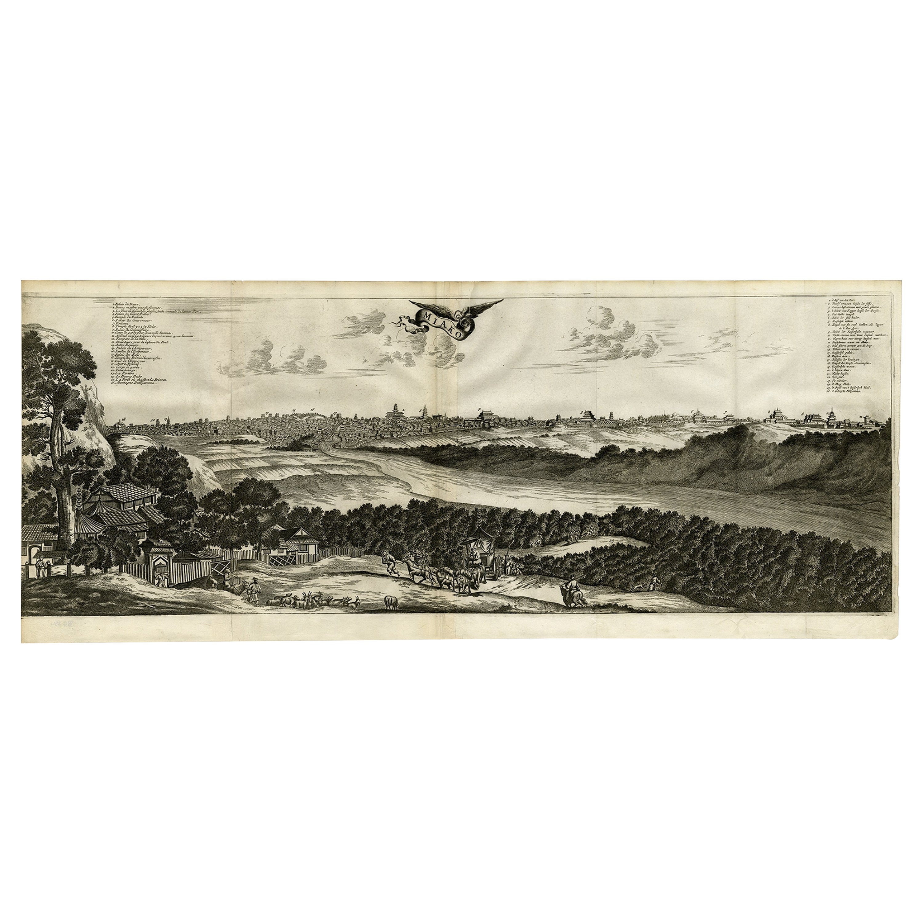
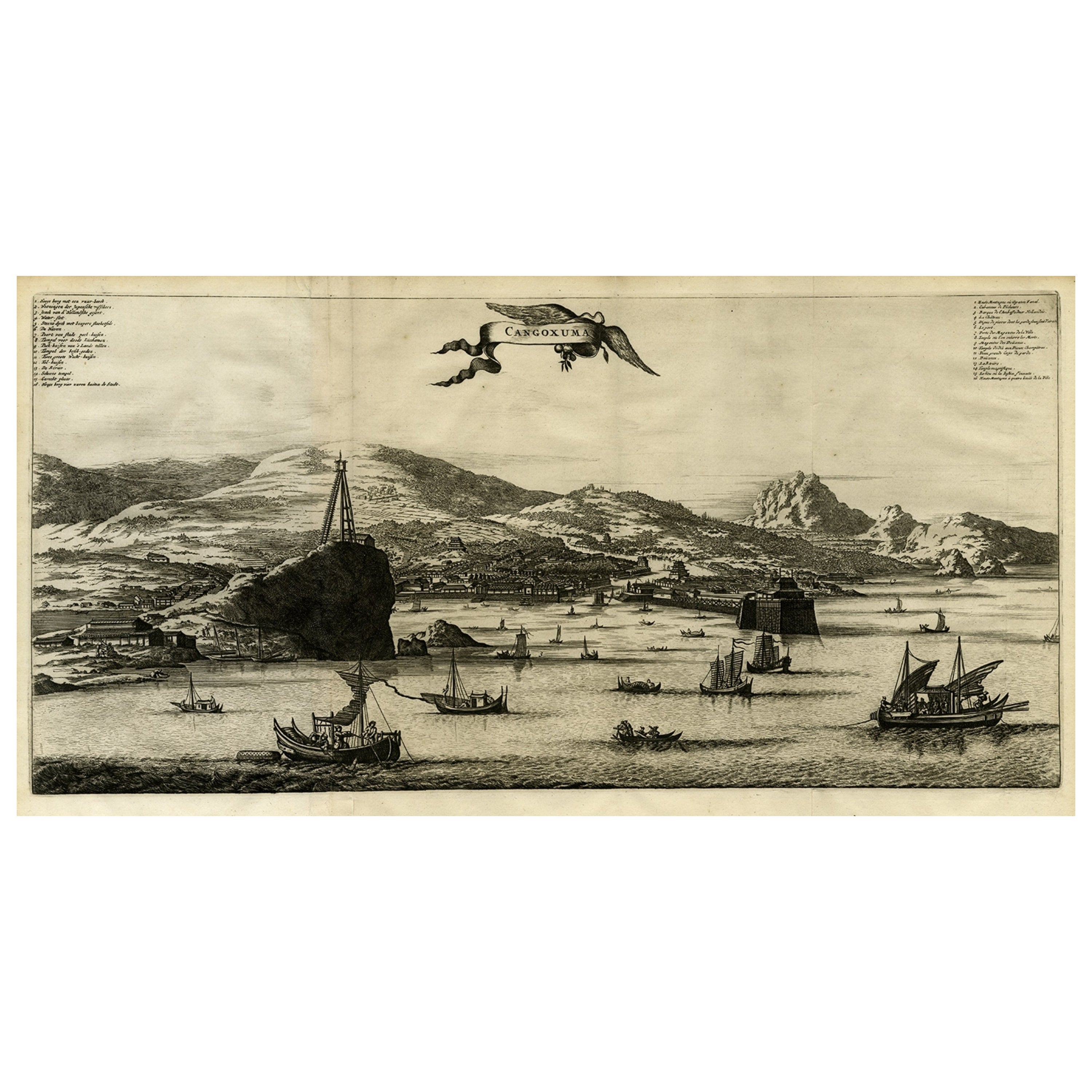
- Rare Antique Bird's-eye View Map of The Island of Malta, 1729Located in Langweer, NLAntique print titled 'D'oude Schets van het Eyland Malta, alwaer, Paulus na zyn Schipbreuk Aenlandde.' This is an uncommon bird's-eye view map of the island of Malta. The map pre...Category
Antique 18th Century Maps
MaterialsPaper
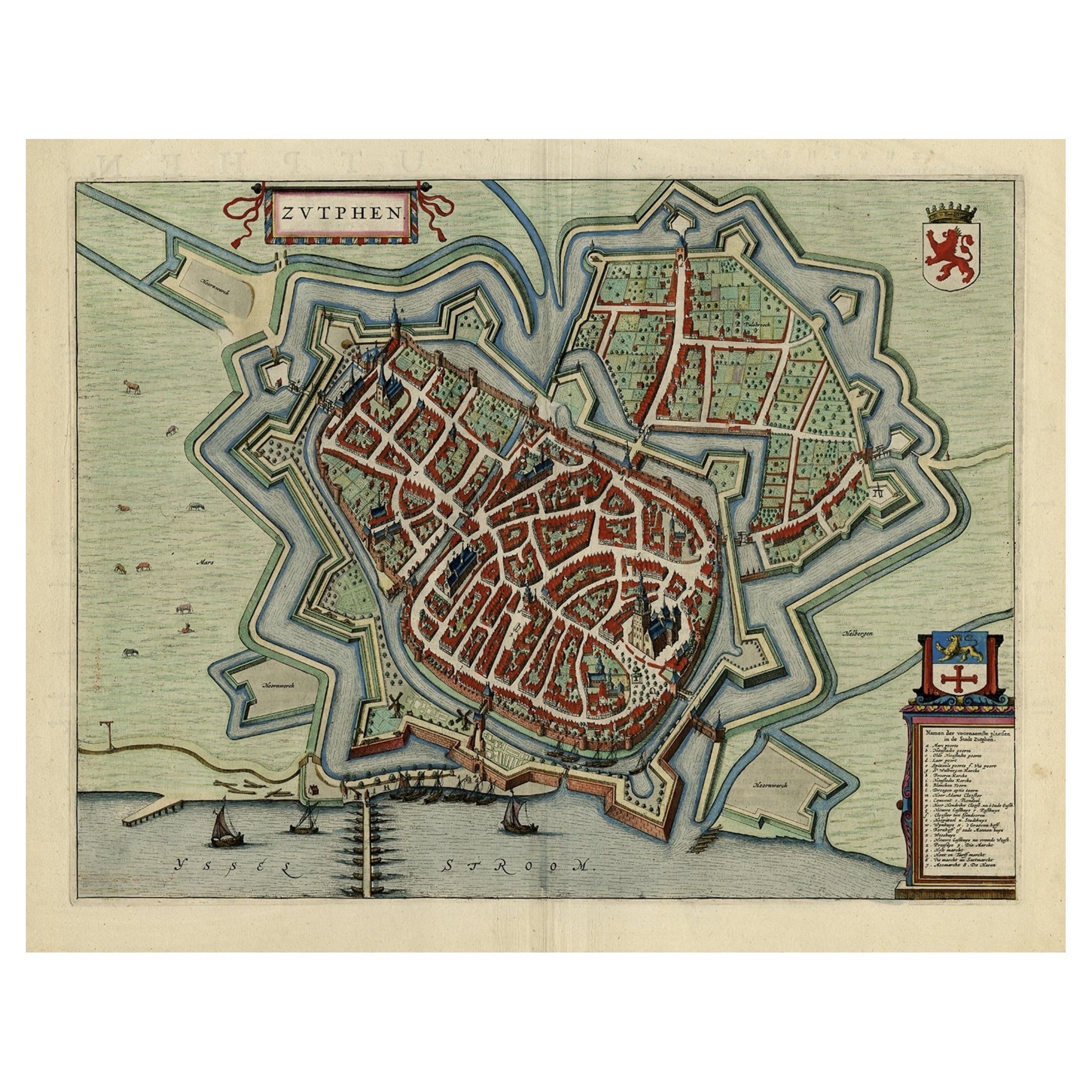
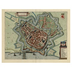
- Original Map with Bird's-Eye View of Zutphen in the Netherlands by Blaeu, 1649Located in Langweer, NLAntique print, titled: 'Zutphen.' - Bird's-eye view plan of Zutphen in The Netherlands, with key to locations and coats of arms. Text in Dutch on verso. This plan originates from the famous city Atlas: 'Toneel der Steeden' published by Joan Blaeu...Category
Antique 1640s Maps
MaterialsPaper
 $1,107 Sale Price20% Off
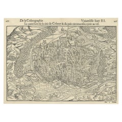
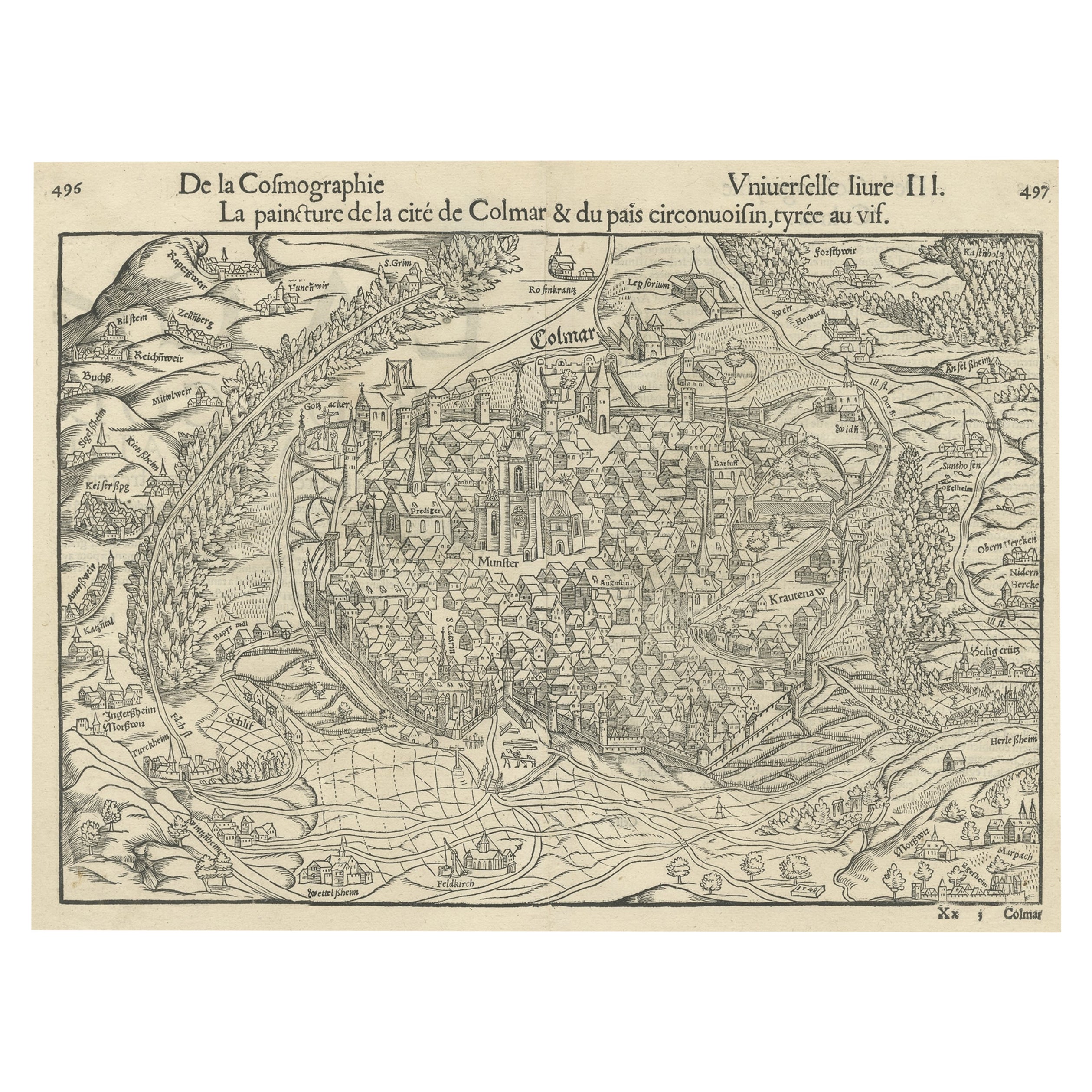
 - Original Antique Bird's-Eye View of Colmar, Alsace, France, 1552Located in Langweer, NLAntique map titled 'La Paincture de la cité de Colmar & du pais circonuoisin'. Original antique bird's-eye view of Colmar, Alsace, France. This map originates from 'La Cosmograph...Category
Antique 16th Century Maps
MaterialsPaper
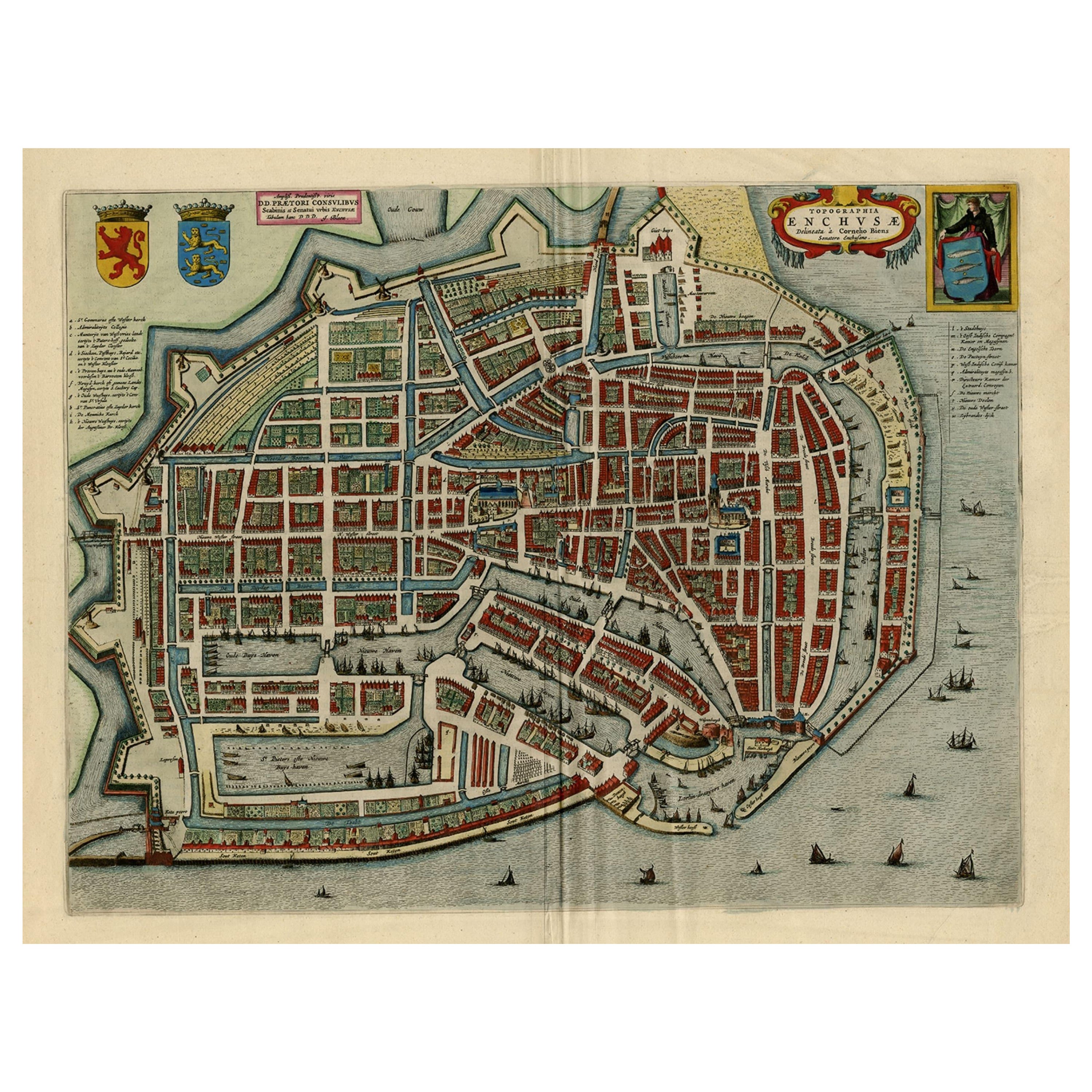
- Beautiful Bird's-Eye View Plan of Enkhuizen in The Netherlands by Blaeu, 1649Located in Langweer, NLAntique print, titled: 'Topograhpiae Enchusae.' Bird's-eye view plan of Enkhuizen in The Netherlands, with key to locations and coats of arms. Text in Dutch on verso. This plan o...Category
Antique 1640s Maps
MaterialsPaper
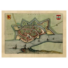
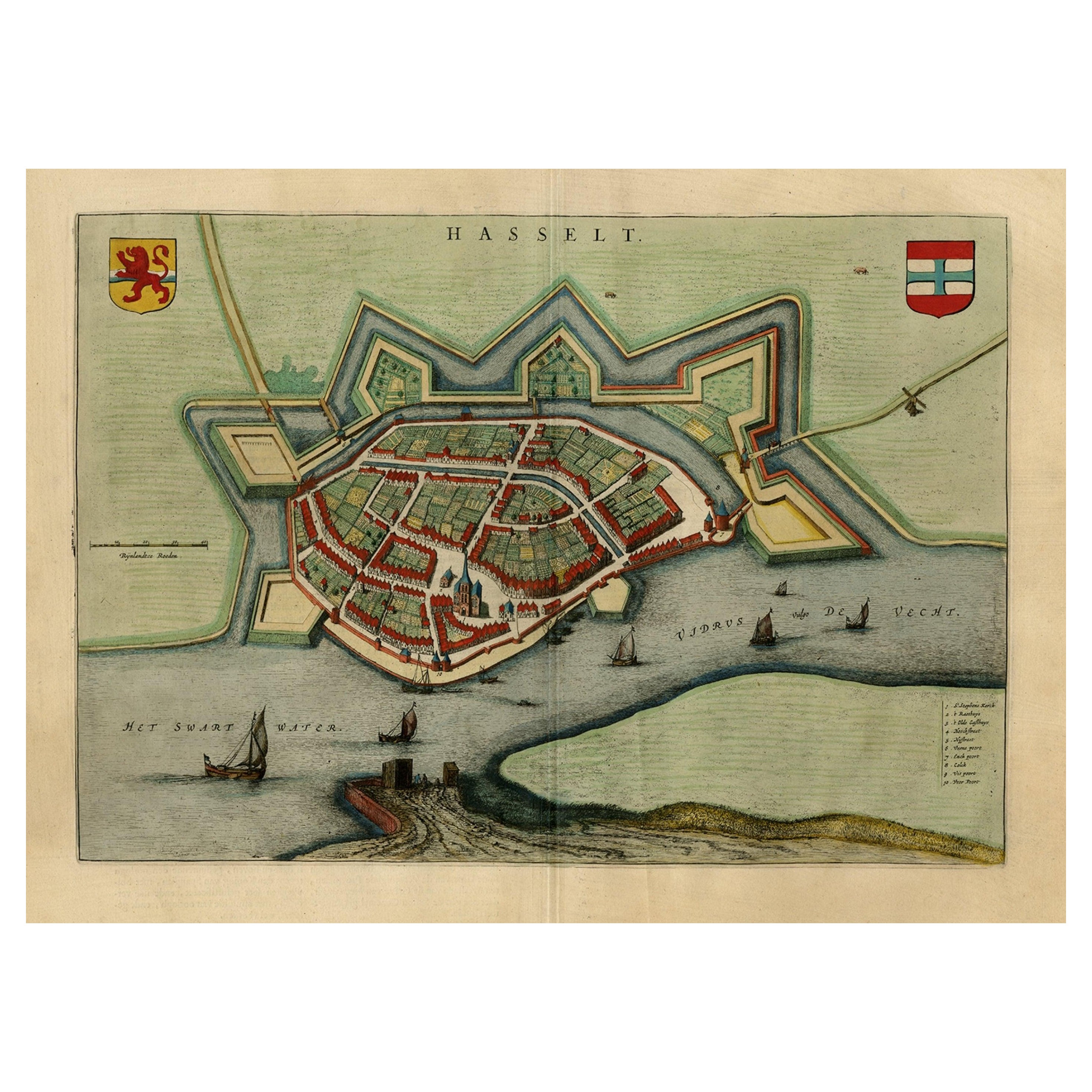
- Stunning Bird's-Eye View Plan of Hasselt by Blaeu in The Netherlands, 1649Located in Langweer, NLAntique print, titled: 'Hasselt.' Bird's-eye view plan of Hasselt in The Netherlands. With key to locations and coats of arms. Text in Dutch on verso. This plan originates from the famous city Atlas: 'Toneel der Steeden' published by Joan Blaeu...Category
Antique 1640s Maps
MaterialsPaper
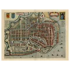
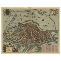
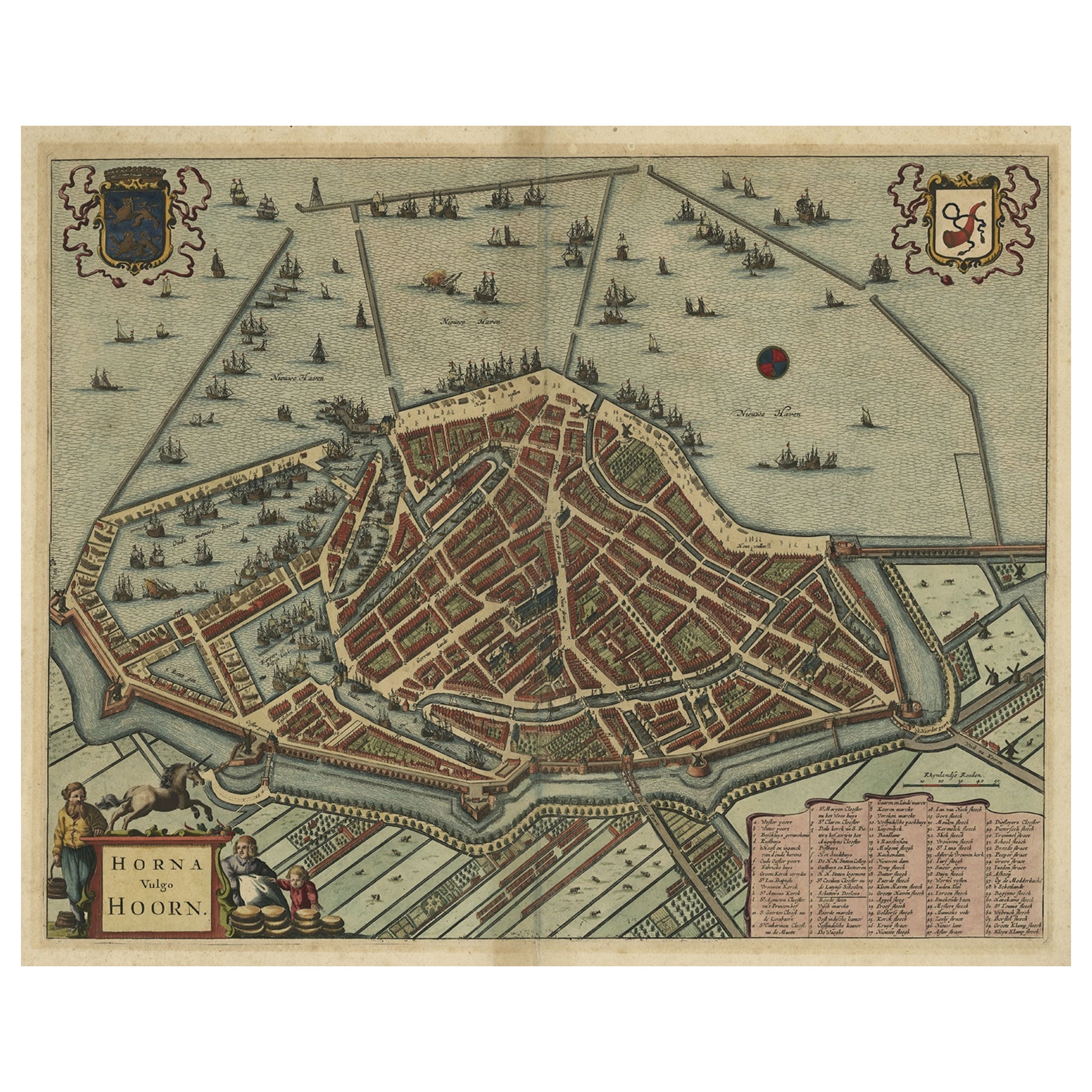
- Original Antique Bird's Eye View Plan of Hoorn, The Netherlands by Blaeu, c.1700Located in Langweer, NLAntique map titled 'Horna vulgo Hoorn'. Bird's eye view plan of Hoorn, The Netherlands. With title cartouche, coats of arms and key. From an atlas published by De Wit, ca. 1698-1...Category
Antique Early 1700s Maps
MaterialsPaper