Items Similar to Antique Map of Anjouan or Ndzuani, Island of The Comoros, 1748
Want more images or videos?
Request additional images or videos from the seller
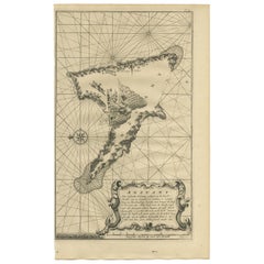
Antique Map of Anjouan or Ndzuani, Island of The Comoros, 1748
About the Item
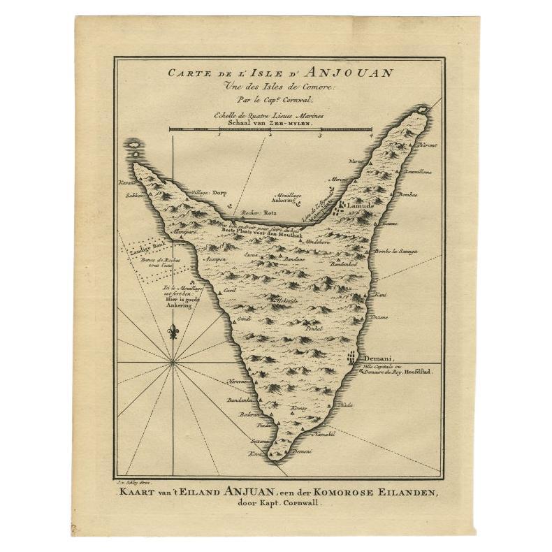
Antique map titled ‘Carte de L’Isle D’Anjouan’. Original antique map of Anjouan, also known as Ndzuwani or Nzwani, or, historically, as Johanna, an autonomous island in the Indian Ocean that forms part of the Union of the Comoros. This map originates from volume 5 of 'Histoire générale des Voyages (..)' published by Didot, 1748.
Artists and Engravers: Jacques-Nicolas Bellin (1703 - 1772) was one of the most important cartographers of the 18th century. With a career spanning some 50 years, Bellin is best understood as geographe de cabinet and transitional mapmaker spanning the gap between 18th and early 19th century cartographic styles. His long career as Hydrographer and Ingénieur Hydrographe at the French Dépôt des cartes et plans de la Marine resulted in hundreds of high quality nautical charts of practically everywhere in the world. A true child of the Enlightenment Era, Bellin's work focuses on function and accuracy tending in the process to be less decorative than the earlier 17th and 18th century cartographic work. Unlike many of his contemporaries, Bellin was always careful to cite his references and his scholarly corpus consists of over 1400 articles on geography prepared for Diderot's Encyclopedie. Bellin, despite his extraordinary success, may not have enjoyed his work, which is described as ""long, unpleasant, and hard."" In addition to numerous maps and charts published during his lifetime, many of Bellin's maps were updated (or not) and published posthumously. He was succeeded as Ingénieur Hydrographe by his student, also a prolific and influential cartographer, Rigobert Bonne.
Condition: Good, given age. Age-related toning, light staining. Please study image carefully.
Date: 1748
Overall size: 19.7 x 25.1 cm
Image size: 16.3 x 21.4 cm
We sell original antique maps to collectors, historians, educators and interior decorators all over the world. Our collection includes a wide range of authentic antique maps from the 16th to the 20th centuries. Buying and collecting antique maps is a tradition that goes back hundreds of years. Antique maps have proved a richly rewarding investment over the past decade, thanks to a growing appreciation of their unique historical appeal. Today the decorative qualities of antique maps are widely recognized by interior designers who appreciate their beauty and design flexibility. Depending on the individual map, presentation, and context, a rare or antique map can be modern, traditional, abstract, figurative, serious or whimsical. We offer a wide range of authentic antique maps for any budget.
- Dimensions:Height: 9.89 in (25.1 cm)Width: 7.76 in (19.7 cm)Depth: 0 in (0.01 mm)
- Materials and Techniques:
- Period:
- Date of Manufacture:1748
- Condition:
- Seller Location:Langweer, NL
- Reference Number:
About the Seller
5.0
Platinum Seller
These expertly vetted sellers are 1stDibs' most experienced sellers and are rated highest by our customers.
Established in 2009
1stDibs seller since 2017
1,950 sales on 1stDibs
Typical response time: <1 hour
- ShippingRetrieving quote...Ships From: Langweer, Netherlands
- Return PolicyA return for this item may be initiated within 14 days of delivery.
More From This SellerView All
- Antique Map of Anjouan or Ndzuani Island, Part of The Comoros, 1749Located in Langweer, NLAntique map titled ‘Carte de L’Isle D’Anjouan - Kaart van 't Eiland Anjouan’. Original antique map of Anjouan, also known as Ndzuwani or Nzwani, or, historically, as Johanna, an auto...Category
Antique 18th Century Maps
MaterialsPaper
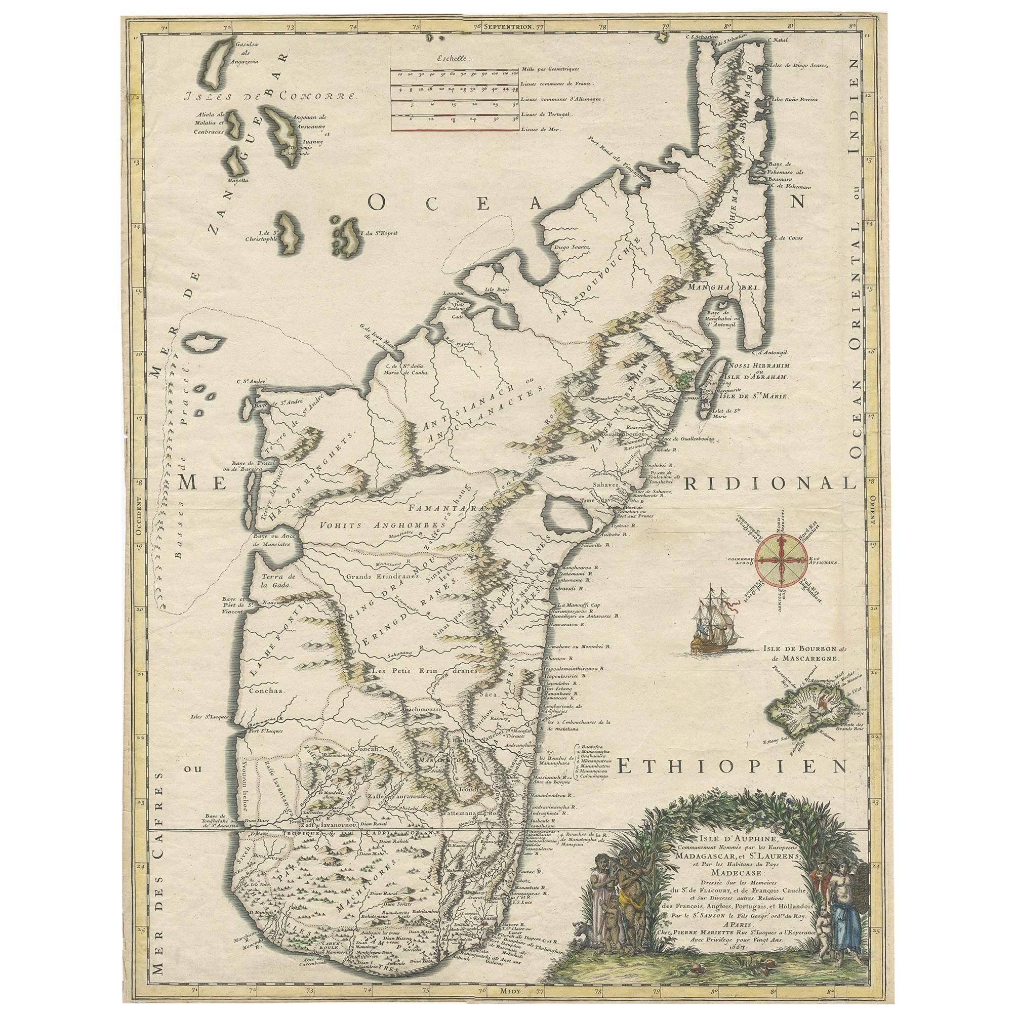
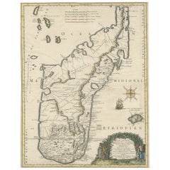
- Beautiful Antique Map of Madagascar, The Comoros Islands & Reunion Island, 1667Located in Langweer, NLAntique map titled 'Isle d'Auphine, communement Nommée par les Europeens Madagascar, et St. Laurens, et par les Habitans du pays Madecase'. Beautiful map of Madagascar...Category
Antique 1660s Maps
MaterialsPaper
- Antique Map of the Island Anjouan by Van Schley, c.1750Located in Langweer, NLAntique map titled 'Carte de l'Isle d'Anjouan une des Isles de Comore'. Striking map of the Island Anjouan, part of the Comoros in the Indian Ocean by Nicolas Bellin. Source unknown,...Category
Antique 18th Century Maps
MaterialsPaper
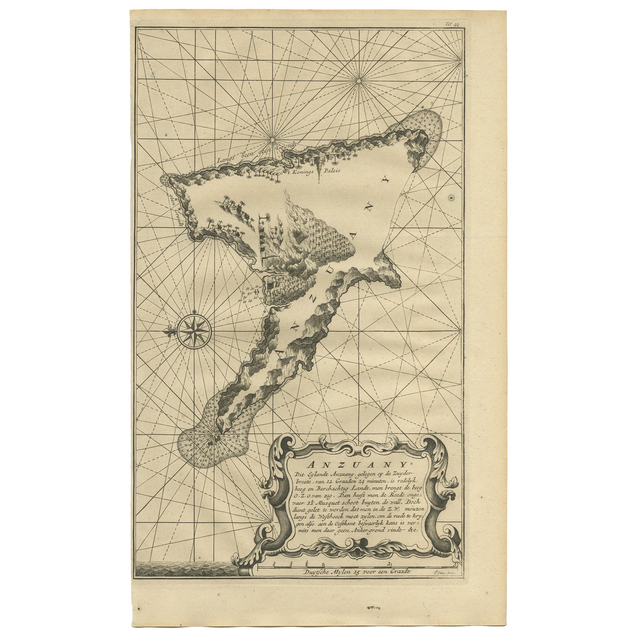
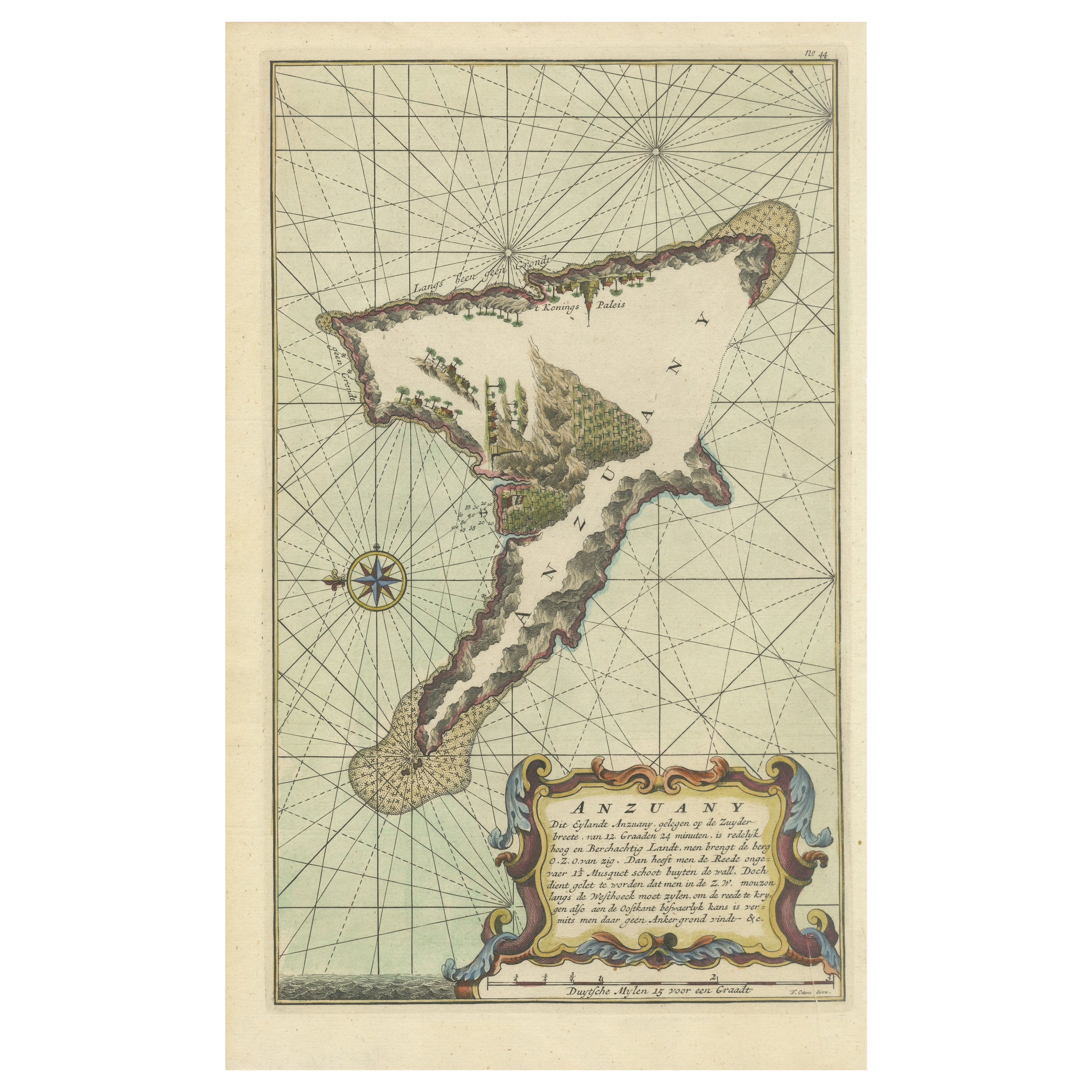
- Antique Map of Anjouan Island by Valentijn, 1726By F. ValentijnLocated in Langweer, NLAntique map titled 'Anzuany'. This map depicts the island of Anjouan, one of the Comoros islands situated between Madagascar and Africa. The map is oriented with north to the left wi...Category
Antique Early 18th Century Dutch Maps
- Antique Engraving of the Island Nzwani or Anzuany of the Comoros Islands, 1726Located in Langweer, NLHistorical titles: Ansjouan, Ansuany, Anjouan, Anzuani, Anzuany Country: Comoros The map is taken from: 'Oud en Nieuw Oost-Indiën' van François Valentyn. 1) Ottens, Frederik (engra...Category
Antique 1720s Maps
MaterialsPaper
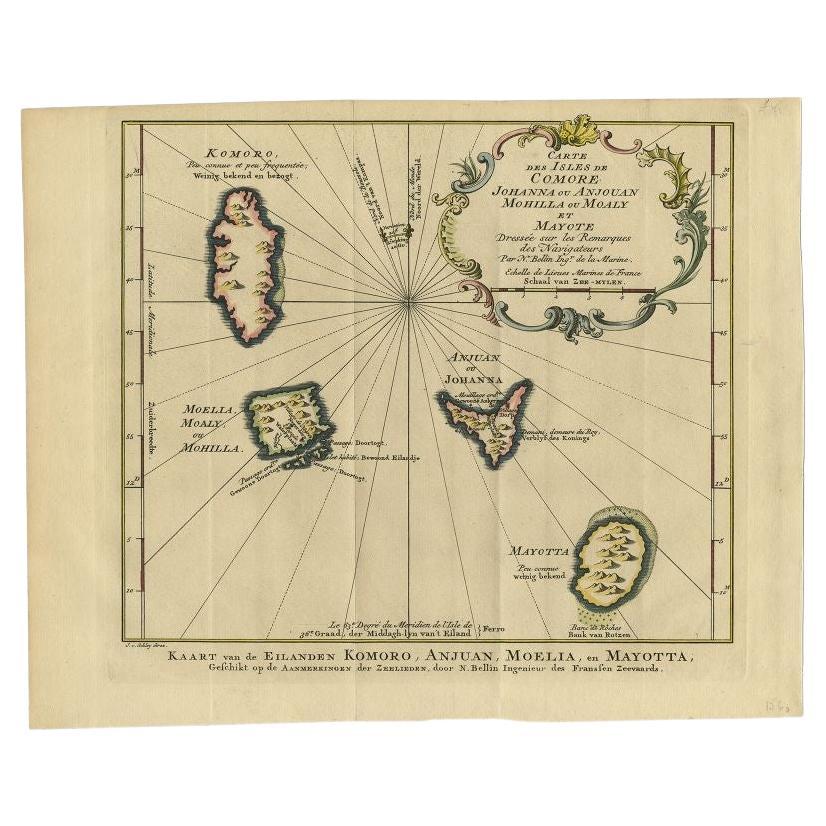
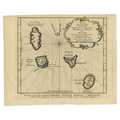
- Antique Map of the Main Comoro Islands by Van Schley, 1749By Jakob van der SchleyLocated in Langweer, NLAntique map titled ‘Carte des Isles de Comore (..) - Kaart van de Eilanden Komoro (..)’. Original antique map of the main Comoro Islands or Comoros including Comore, Mohéli, Anjouan ...Category
Antique 18th Century Maps
MaterialsPaper


You May Also Like
- 1854 Map of Massachusetts, Connecticut and Rhode Island, Antique Wall MapLocated in Colorado Springs, COThis striking wall map was published in 1854 by Ensign, Bridgman & Fanning and has both full original hand-coloring and original hardware. This impression is both informative and highly decorative. The states are divided into counties, outlined in red, green, and black, and subdivided into towns. Roads, canals, and railroad lines are prominently depicted, although they are not all labeled. The mapmakers also marked lighthouses, banks, churches, and prominent buildings, with a key at right. The map is an informative and comprehensive overview of the infrastructural development of New England prior to the Civil War. Physical geographies depicted include elevation, conveyed with hachure marks, rivers and lakes. The impression features an inset map of Boston...Category
Antique 19th Century American Maps
MaterialsPaper
- Large Original Vintage Map of The Pacific Islands Including HawaiiLocated in St Annes, LancashireGreat map of The Pacific Islands Unframed Original color By John Bartholomew and Co. Edinburgh Geographical Institute Published, circa 1...Category
Vintage 1920s British Maps
MaterialsPaper
- 1868 Map of the Upper Part of the Island of Manhattan Above 86th StreetBy Wm. Rogers Mfg. Co.Located in San Francisco, CAThis wonderful piece of New York City history is over 150 years old. It depicts 86th street and above. It was lithographed by WC Rogers and company. It was made to show what was the Battle of Harlem during the Revolutionary war...Category
Antique 1860s American American Colonial Maps
MaterialsPaper
- 1861 Topographical Map of the District of Columbia, by Boschke, Antique MapLocated in Colorado Springs, COPresented is an original map of Albert Boschke's extremely sought-after "Topographical Map of the District of Columbia Surveyed in the Years 1856 ...Category
Antique 1860s American Historical Memorabilia
MaterialsPaper
- Framed Mid-19th Century Wall Map of Long Island, the HamptonsLocated in Sag Harbor, NYA Framed museum quality find. This large wall map dates to the mid-1800s. Detailed inset maps of, Sag Harbor, East Hampton, Amagansett, Shelter Island and most villages in Long Islan...Category
Antique Mid-19th Century American Maps
MaterialsLinen, Paper
- Map Jersey Guernsey Scilly Islands AlderneyLocated in BUNGAY, SUFFOLKRare map of The Islands of Guernsey and Jersey, including Alderney & the Scilly Islands just purchased more information to follow In the original cream mount and gilded frame.Category
Antique 18th Century English Georgian Maps
MaterialsPaper


Recently Viewed
View AllMore Ways To Browse
Long Island Furniture
Long Island Used Furniture
Map Light
French Antique Island
Used Office Furniture Long Island
Long Island Artists
Ocean Map
Ocean Maps
Marine Collectibles
Antique Maps And Charts
Long Island Map
Map Of Long Island
Maps Of Long Island
Antique Style Map
Collectors Cabinets 18th Century
La Marine Antique
19th Century Corpus
Antique Style Trolley