Items Similar to Antique Map of Asia by K. Johnston, circa 1879


Want more images or videos?
Request additional images or videos from the seller
1 of 5
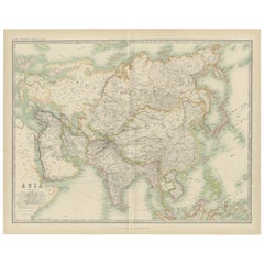
Antique Map of Asia by K. Johnston, circa 1879
About the Item
No. 28 of Keith Johnston's General Atlas. Published by William Blackwood & Sons Edinburgh & London, circa 1879.
- Dimensions:Height: 19.38 in (49.2 cm)Width: 24.41 in (62 cm)Depth: 0.02 in (0.5 mm)
- Materials and Techniques:
- Period:
- Date of Manufacture:circa 1879
- Condition:Please study image carefully.
- Seller Location:Langweer, NL
- Reference Number:
About the Seller
5.0
Platinum Seller
These expertly vetted sellers are 1stDibs' most experienced sellers and are rated highest by our customers.
Established in 2009
1stDibs seller since 2017
1,946 sales on 1stDibs
Typical response time: <1 hour
- ShippingRetrieving quote...Ships From: Langweer, Netherlands
- Return PolicyA return for this item may be initiated within 14 days of delivery.
More From This SellerView All
- Antique Map of Asia by Johnston '1909'Located in Langweer, NLAntique map titled 'Asia'. Depicting China, Japan, Indonesia, India, Arabia and more. This map originates from the ‘Royal Atlas of Modern Geography’. Published by W. & A.K. Johnston,...Category
Early 20th Century Maps
MaterialsPaper
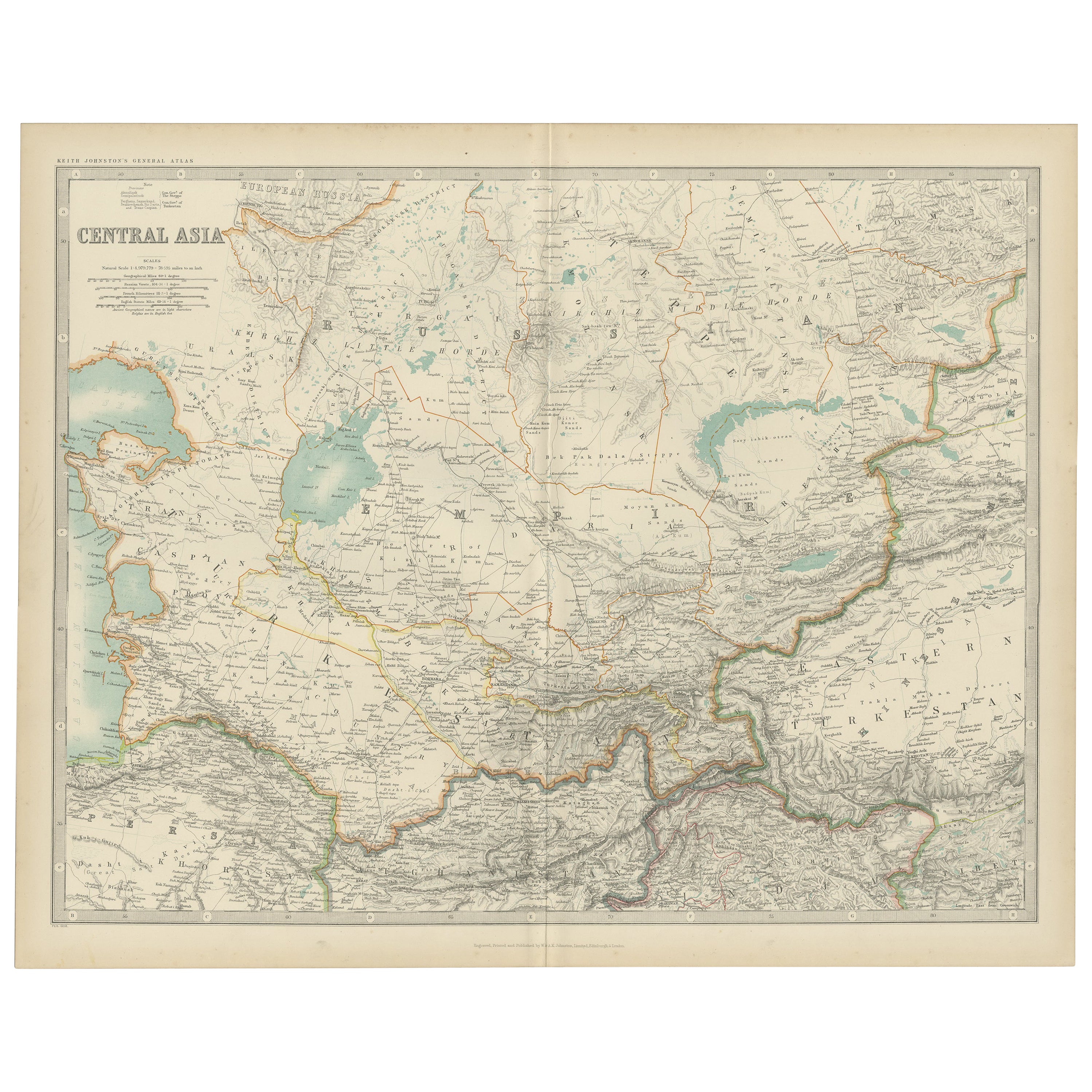
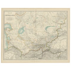
- Antique Map of Central Asia by Johnston '1909'Located in Langweer, NLAntique map titled 'Central Asia'. Original antique map of Central Asia. This map originates from the ‘Royal Atlas of Modern Geography’. Published by W. & A.K. Johnston, 1909.Category
Early 20th Century Maps
MaterialsPaper
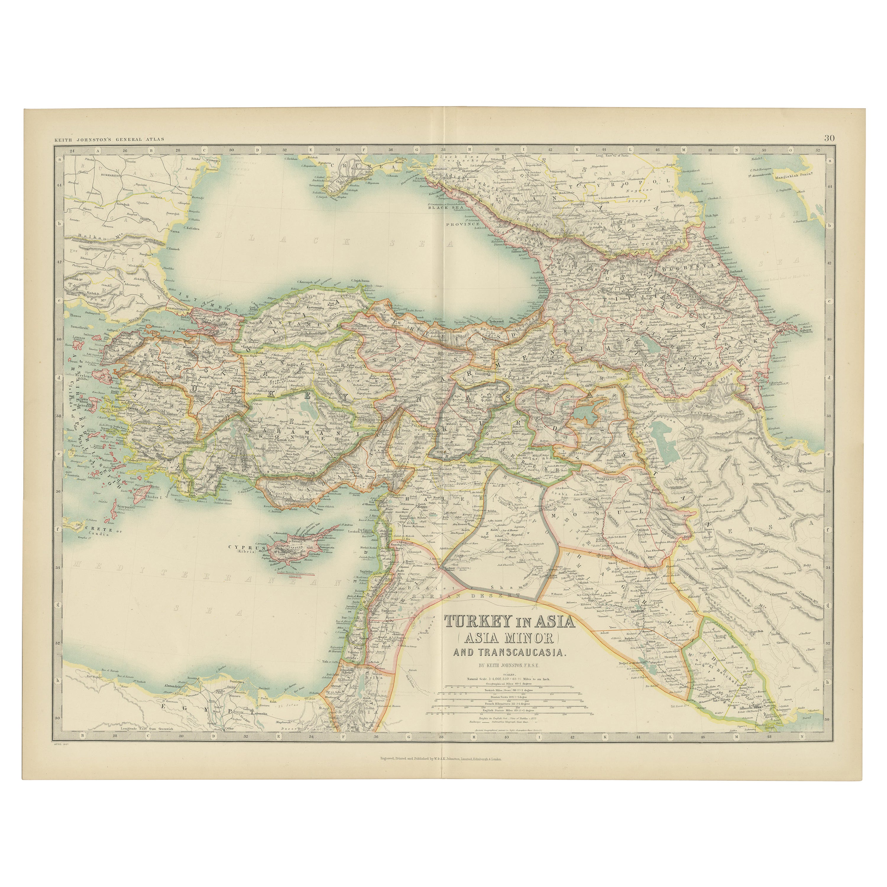
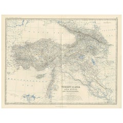
- Antique Map of Turkey in Asia by Johnston '1909'Located in Langweer, NLAntique map titled 'Turkey Asia ( Asia Minor )'. Original antique map of Turkey in Asia. This map originates from the ‘Royal Atlas of Modern Geog...Category
Early 20th Century Maps
MaterialsPaper
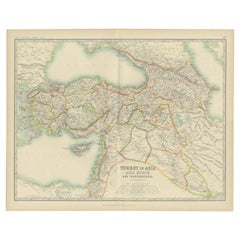
- Antique Map of Turkey in Asia by A.K. Johnston, 1865Located in Langweer, NLAntique map titled 'Turkey in Asia (Asia Minor) and Transcaucasia'. This map originates from the ‘Royal Atlas of Modern Geography’ by Alexander Keith Johnston. Published by William B...Category
Antique Mid-19th Century Maps
MaterialsPaper
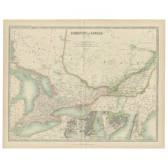
- Antique Map of Canada by Johnston '1909'Located in Langweer, NLAntique map titled 'Dominion of Canada'. Original antique map of Canada. With inset maps of Niagara, Montreal, Quebec. This map originates from t...Category
Early 20th Century Maps
MaterialsPaper
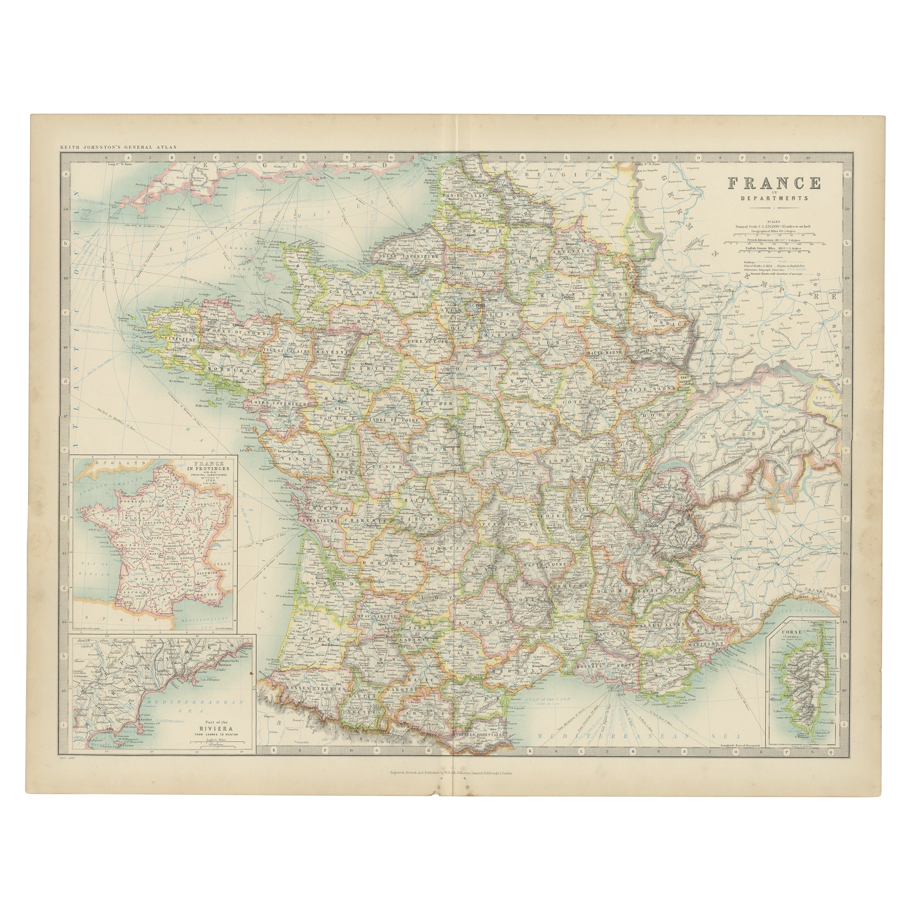
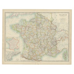
- Antique Map of France by Johnston (1909)Located in Langweer, NLAntique map titled 'France'. Original antique map of France. With inset maps of France in provinces, part of the Riviera and Corsica. This map or...Category
Early 20th Century Maps
MaterialsPaper
You May Also Like
- Original Antique Map of South East Asia by Becker, circa 1840Located in St Annes, LancashireGreat map of South East Asia Steel engraving with original color outline Engraved by Becker Published by Virtue, circa 1840. Unframed.Category
Antique 1840s English Other Maps
MaterialsPaper
- Original Antique Map of Asia. C.1780Located in St Annes, LancashireGreat map of Asia Copper-plate engraving Published C.1780 Two small worm holes to right side of map Unframed.Category
Antique Early 1800s English Georgian Maps
MaterialsPaper

- Original Antique Map of South East Asia by Thomas Clerk, 1817Located in St Annes, LancashireGreat map of South East Asia Copper-plate engraving Drawn and engraved by Thomas Clerk, Edinburgh. Published by Mackenzie And Dent, 1817 Unframed.Category
Antique 1810s English Maps
MaterialsPaper
- Original Antique Map of South East Asia, Arrowsmith, 1820Located in St Annes, LancashireGreat map of South East Asia Drawn under the direction of Arrowsmith Copper-plate engraving Published by Longman, Hurst, Rees, Orme and Brown, 1820 Unframed.Category
Antique 1820s English Maps
MaterialsPaper
- Original Antique Map of Belgium by Tallis, Circa 1850Located in St Annes, LancashireGreat map of Belgium Steel engraving Many lovely vignettes Published by London Printing & Publishing Co. ( Formerly Tallis ), C.1850 Origin...Category
Antique 1850s English Maps
MaterialsPaper
- Original Antique Map of South America, circa 1830Located in St Annes, LancashireGreat map of South America Copper plate engraving Published by Butterworth, Livesey & Co., circa 1830 Unframed.Category
Antique Early 1800s English Other Maps
MaterialsPaper


Recently Viewed
View AllMore Ways To Browse
Old Antique Compass
Map New Holland
Vienna Map
Map Of Vienna
Map Monde Antique
Arabian Map
Arabia Map
Egyptian Authentic Furniture
Middle East Map
Visscher Amsterdam
Columbia Antiques
Antique Fireplaces And Ranges
Historic Antique Maps
Map Railroad
Relief Map
Antique Victoria Australia
Antique Florida Collectibles
Antique Sailing Map