Items Similar to Antique Map of Central America Showing the Communication Lines, 1850


Want more images or videos?
Request additional images or videos from the seller
1 of 6
Antique Map of Central America Showing the Communication Lines, 1850
About the Item
Antique map titled 'Map of Central America Shewing the Different Lines of Atlantic & Pacific Communication'. A most unusual U.S. Government edition of this handsome map of Central America executed by Englishman James Wyld and published in a report to Congress. At the time, there was great interest in Central America as the site for a land transit that would cut weeks off a journey to California and the gold fields. The map shows four sections: Across the Isthmus of Tehuantepec; from Port Sn. Juan del Norte to Port Realejo; between Charges (Atlantic) &c Vaca de Monte (Pacific); and from the Lake Nicaragua to Port San Juna del Sur. A large and very colorful inset shows the Isthmus of Panama and the planned route in great detail. Printed on much heavier paper than the typical government document. Source unknown, to be determined.
Artists and Engravers: James Wyld (1812–1887) was a British geographer and map-seller, best known for Wyld's Great Globe. He was successor to William Faden, one of the luminaries of late eighteenth century publishing in England. Wyld maintained the high standard of graphic and factual excellence that had been established by his predecessor and his maps are among the finest published in the early nineteenth century.
Condition: Good, general age-related toning. minor wear and soiling. Original folding line and foldout. Blank verso. Please study image carefully.
Date: 1850
Overall size: 85.5 x 58.4 cm.
Image size: 81 x 58 cm.
We sell original antique maps to collectors, historians, educators and interior decorators all over the world. Our collection includes a wide range of authentic antique maps from the 16th to the 20th centuries. Buying and collecting antique maps is a tradition that goes back hundreds of years. Antique maps have proved a richly rewarding investment over the past decade, thanks to a growing appreciation of their unique historical appeal. Today the decorative qualities of antique maps are widely recognized by interior designers who appreciate their beauty and design flexibility. Depending on the individual map, presentation, and context, a rare or antique map can be modern, traditional, abstract, figurative, serious or whimsical. We offer a wide range of authentic antique maps for any budget.
- Dimensions:Height: 23 in (58.4 cm)Width: 33.67 in (85.5 cm)Depth: 0 in (0.01 mm)
- Materials and Techniques:
- Period:
- Date of Manufacture:1850
- Condition:
- Seller Location:Langweer, NL
- Reference Number:
About the Seller
5.0
Platinum Seller
These expertly vetted sellers are 1stDibs' most experienced sellers and are rated highest by our customers.
Established in 2009
1stDibs seller since 2017
1,957 sales on 1stDibs
Typical response time: <1 hour
- ShippingRetrieving quote...Ships From: Langweer, Netherlands
- Return PolicyA return for this item may be initiated within 14 days of delivery.
More From This SellerView All
- Antique Map showing Isotherm Lines throughout the World by Johnston '1850'Located in Langweer, NLAntique map titled 'Humboldt's System of Isothermal Lines'. Original antique map showing isotherm lines throughout the world. This map originates from 'The Physical Atlas of Natural ...Category
Antique Mid-19th Century Maps
MaterialsPaper
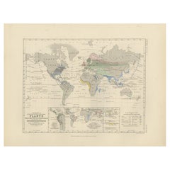
- Antique Map Showing the Distribution of Plants by Johnston '1850'Located in Langweer, NLAntique map titled 'Geographical plants which are used as food for man'. Original antique map showing the distribution of plants. This map originates from 'The Physical Atlas of Natu...Category
Antique Mid-19th Century Maps
MaterialsPaper
- Antique Map Showing the Distribution of Plants by Johnston, '1850'Located in Langweer, NLAntique map titled 'Geographical Distribution of Plants'. Original antique map showing the distribution of plants. This map originates from 'The Physical Atlas of Natural Phenomena' ...Category
Antique Mid-19th Century Maps
MaterialsPaper
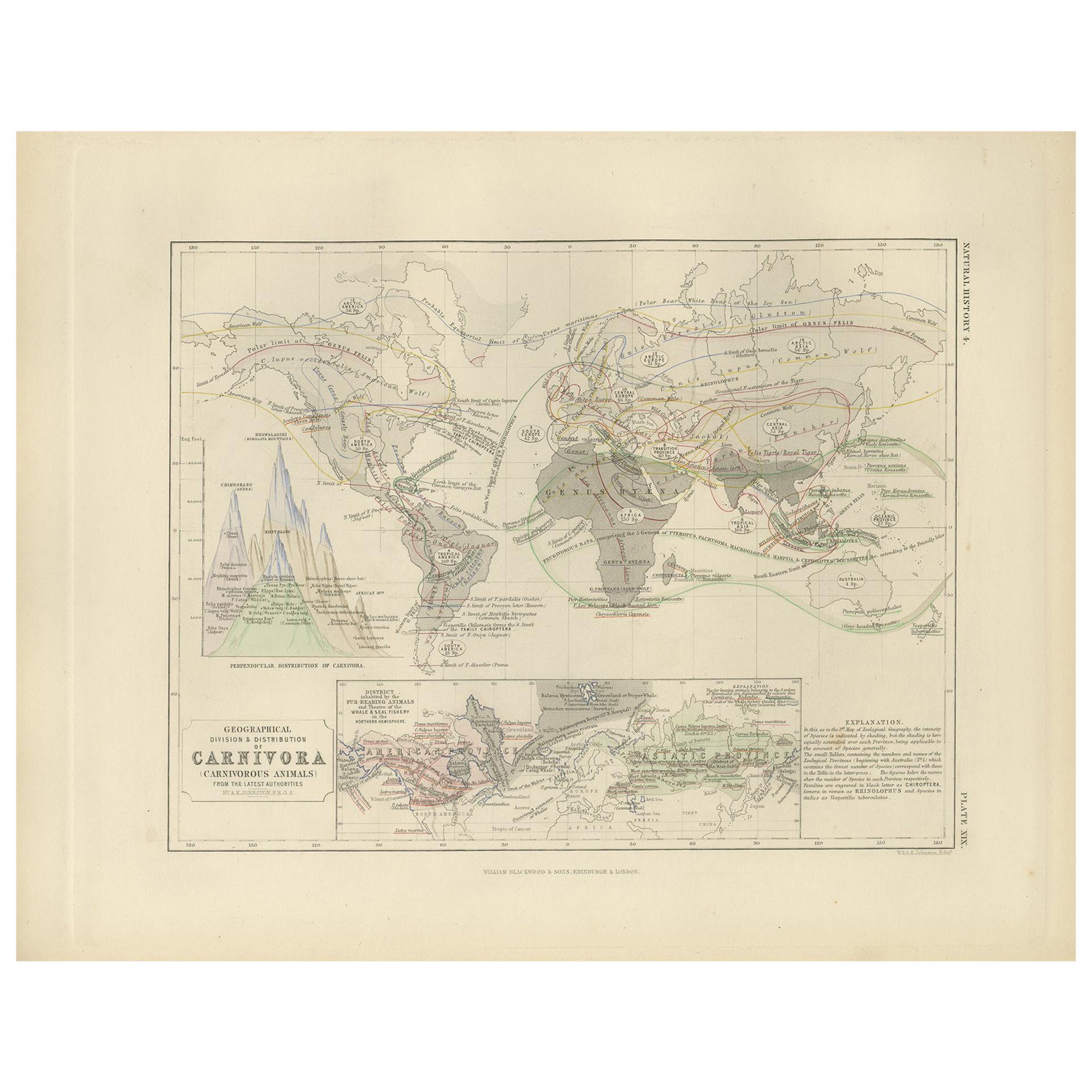
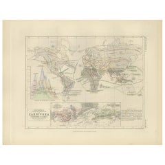
- Antique Map Showing the Division & Distribution of Carnivora by Johnston '1850'Located in Langweer, NLAntique map titled 'Geographical division and distribution of carnivorous animals'. Original antique map showing the geographical division and distribution of carnivora. This map ori...Category
Antique Mid-19th Century Maps
MaterialsPaper
- Antique Map Showing the Distribution of the Currents of Air by Johnston '1850'Located in Langweer, NLAntique map titled 'Geographical Distribution of the Currents of Air'. Original antique map showing the distribution of the currents of air. This map originates from 'The Physical At...Category
Antique Mid-19th Century Maps
MaterialsPaper
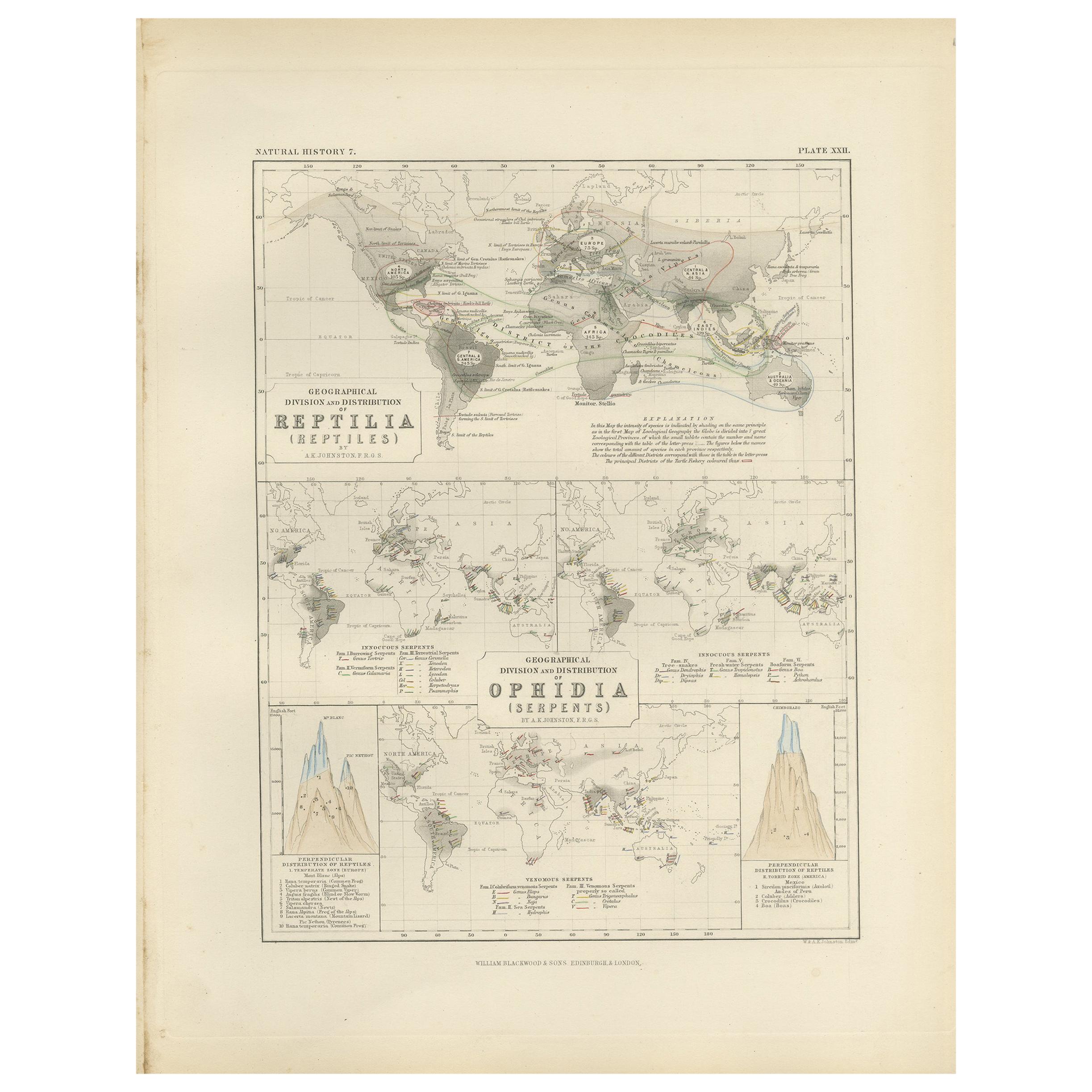
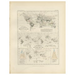
- Antique Map Showing the Division and Distribution of Reptiles by Johnston '1850'Located in Langweer, NLAntique map titled 'Geographical division and distribution of reptilia and ophidia. Original antique map showing the geographical division and distribution of reptiles and serpents. ...Category
Antique Mid-19th Century Maps
MaterialsPaper


You May Also Like
- Original Antique Map of Central America / Florida, Arrowsmith, 1820Located in St Annes, LancashireGreat map of Central America. Drawn under the direction of Arrowsmith. Copper-plate engraving. Published by Longman, Hurst, Rees, Orme and Brown, 1820 Unframed.Category
Antique 1820s English Maps
MaterialsPaper
- Original Antique Map of Belgium by Tallis, Circa 1850Located in St Annes, LancashireGreat map of Belgium Steel engraving Many lovely vignettes Published by London Printing & Publishing Co. ( Formerly Tallis ), C.1850 Origin...Category
Antique 1850s English Maps
MaterialsPaper
- Large Antique 1859 Map of North AmericaLocated in Sag Harbor, NYThis Map was made by Augustus Mitchell in 1859 It is in amazing condition for being 163 years old. This price is for the rolled up easy to ship version of this piece. I will be Frami...Category
Antique Mid-19th Century American Maps
MaterialsCanvas, Paper

- Original Antique Map of South America. C.1780Located in St Annes, LancashireGreat map of South America Copper-plate engraving Published C.1780 Two small worm holes to left side of map Unframed.Category
Antique Early 1800s English Georgian Maps
MaterialsPaper
- Original Antique Map of South America, circa 1830Located in St Annes, LancashireGreat map of South America Copper plate engraving Published by Butterworth, Livesey & Co., circa 1830 Unframed.Category
Antique Early 1800s English Other Maps
MaterialsPaper
- Original Antique Map / City Plan of Brussels by Tallis, circa 1850Located in St Annes, LancashireGreat map of Brussels. Steel engraving. Published by London Printing & Publishing Co. (Formerly Tallis), C.1850 Free shipping.Category
Antique 1850s English Maps
MaterialsPaper


Recently Viewed
View AllMore Ways To Browse
On Site Antiques
Unusual Antique Collectables
Antique Globes Of The World
Antique American Standard
Antique World Map Print
Large Map Of The World
Britain Map
Map Of Britain
Antique Paper Documents
Late 19th C American Furniture
1850s American
Large Maps On Paper
Antique Large Globe
Route Map
California Map
Map Of California
U S Map
Large 19th Century Maps