Items Similar to Antique Map of Lower Egypt, Showing Port Said, Suez and Surroundings, 1922


Want more images or videos?
Request additional images or videos from the seller
Antique Map of Lower Egypt, Showing Port Said, Suez and Surroundings, 1922
About the Item
Antique map of Africa titled 'Lower Egypt '.
Old map of Africa depicting Egypt, Port Said, Suez and surroundings. This map originates from 'The Times' atlas. Artists and Engravers: John George Bartholomew (22 March 1860 ? 14 April 1920) was a British cartographer and geographer. As a holder of a royal warrant, he used the title "Cartographer to the King"; for this reason he was sometimes known by the epithet "the Prince of Cartography". Bartholomew's longest lasting legacy is arguably naming the continent of Antarctica, which until his use of the term in 1890 had been largely ignored due to its lack of resources and harsh climate.
Artist: John George Bartholomew (22 March 1860 ? 14 April 1920) was a British cartographer and geographer. As a holder of a royal warrant, he used the title "Cartographer to the King"; for this reason he was sometimes known by the epithet "the Prince of Cartography". Bartholomew's longest lasting legacy is arguably naming the continent of Antarctica, which until his use of the term in 1890 had been largely ignored due to its lack of resources and harsh climate.
Condition: Very good, small tear (outside image). Please study image carefully.
Date: 1922
Overall size: 59 x 45.5 cm.
Image size: 54.5 x 41.5 cm.
- Dimensions:Height: 23.23 in (59 cm)Width: 17.92 in (45.5 cm)Depth: 0 in (0.01 mm)
- Materials and Techniques:
- Period:
- Date of Manufacture:1922
- Condition:
- Seller Location:Langweer, NL
- Reference Number:
About the Seller
5.0
Platinum Seller
These expertly vetted sellers are 1stDibs' most experienced sellers and are rated highest by our customers.
Established in 2009
1stDibs seller since 2017
1,951 sales on 1stDibs
Typical response time: <1 hour
- ShippingRetrieving quote...Ships From: Langweer, Netherlands
- Return PolicyA return for this item may be initiated within 14 days of delivery.
More From This SellerView All
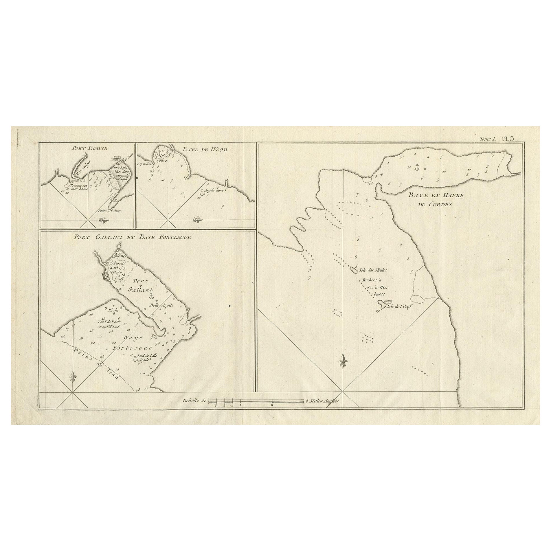
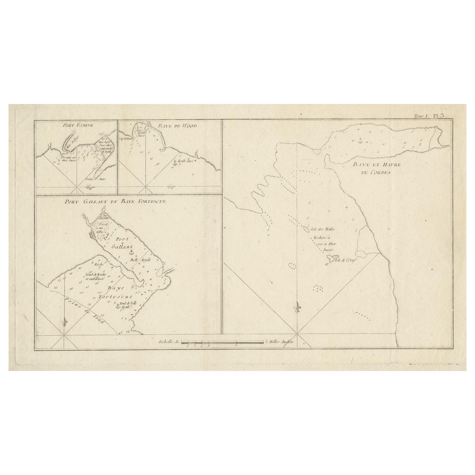
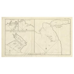
- Antique Map of Cordes Bay, Port Famine, Woods Bay and SurroundingsLocated in Langweer, NLAntique map titled 'Baye et Havre de Cordes (..)'. Four maps on the one sheet of; Cordes Bay, Port Famine, Woods Bay, Port Gallant, Fortescue Bay, Chile based on the voyage of John B...Category
Antique Late 18th Century Maps
MaterialsPaper
- Antique Map of Belgium and Surroundings, 1692Located in Langweer, NLAntique map titled 'Provincie Meridionali de Paesi Bassi Intese sotto nome di Fiandra overo Li Paesi Bassi Cattolici con li confini di Francia di Allemagna et di Hollanda'. Uncommon map of Belgium...Category
Antique 17th Century Maps
MaterialsPaper
- Antique Map of Afghanistan and Surroundings, '1845'Located in Langweer, NLAntique map titled 'Map of Persia and Caubul'. Original antique map of Afghanistan and surroundings. This map originates from 'An Atlas of the World, Comprehending Separate Maps of...Category
Antique Mid-19th Century Maps
MaterialsPaper
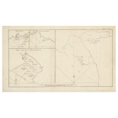
- Antique Map of Cordes Bay and SurroundingsLocated in Langweer, NLAntique map titled 'Baye et Havre de Cordes (..)'. Four maps on the one sheet of; Cordes Bay, Port Famine, Woods Pay, Port Gallant, Fortescue Bay, Chile based on the voyage of John B...Category
Antique Late 18th Century Maps
MaterialsPaper
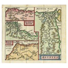
- Antique Map of North Africa showing Egypt, Mauritania and Africa Minor, 1672Located in Langweer, NLAntique map titled 'Africa Minor, Mauritania , Aegyptus.' Charming miniature map of North Africa, showing Egypt, Mauritania and Africa Minor. This map originates from the pocket atla...Category
Antique 17th Century Maps
MaterialsPaper
- Antique Map of Egypt, Arabia Petraea and Lower Nubia by Johnston '1909'Located in Langweer, NLAntique map titled 'Egypt, Arabia Petraea and Lower Nubia'. Original antique map of Egypt, Arabia Petraea and Lower Nubia. With inset maps of Alexandriam Cairo and the Suez Canal...Category
Early 20th Century Maps
MaterialsPaper


You May Also Like
- Suez Canal Aluminum Maritime BeaconLocated in Norwell, MASix foot marine beacon. Aluminum suez canal beacon as required for ships passing through. Massive. Awesome industrial light. Overall dimensions: 30”L x 2...Category
1990s Nautical Objects
MaterialsAluminum
- 1854 Map of Massachusetts, Connecticut and Rhode Island, Antique Wall MapLocated in Colorado Springs, COThis striking wall map was published in 1854 by Ensign, Bridgman & Fanning and has both full original hand-coloring and original hardware. This impression is both informative and highly decorative. The states are divided into counties, outlined in red, green, and black, and subdivided into towns. Roads, canals, and railroad lines are prominently depicted, although they are not all labeled. The mapmakers also marked lighthouses, banks, churches, and prominent buildings, with a key at right. The map is an informative and comprehensive overview of the infrastructural development of New England prior to the Civil War. Physical geographies depicted include elevation, conveyed with hachure marks, rivers and lakes. The impression features an inset map of Boston...Category
Antique 19th Century American Maps
MaterialsPaper
- Vintage Swedish Topographic School Map of European Alps, Made in Sweden 1922Located in Los Angeles, CAVintage Swedish Topographic School map of European Alps, Made in Sweden 1922 This vintage Swedish school map is so unique and a great example of why these are so collectible. W...Category
Vintage 1920s Swedish Maps
MaterialsLinen, Wood, Paper
- Vintage Oversized New York City Lower Manhattan 1840s Map PrintLocated in Dayton, OHVintage late 20th century reproduction print of New York City featuring lower Manhattan in 1840.Category
Late 20th Century Victorian Maps
MaterialsPaper
- Antique Map of Principality of MonacoBy Antonio Vallardi EditoreLocated in Alessandria, PiemonteST/619 - "Old Geographical Atlas of Italy - Topographic map of ex-Principality of Monaco" - ediz Vallardi - Milano - A somewhat special edition ---Category
Antique Late 19th Century Italian Other Prints
MaterialsPaper
- Geographical Antique Map of Principality of MonacoBy Bruno SantiniLocated in Alessandria, PiemonteST/609 - Interesting antique color map of Monaco Principality in French language : "Carte qui contient le Principauté de Piémont, le Monferrat et la comté de...Category
Antique Late 18th Century Italian Other Maps
MaterialsPaper