Items Similar to Antique Map of the Northern Hemisphere, 1782


Want more images or videos?
Request additional images or videos from the seller
1 of 6
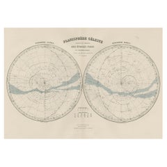
Antique Map of the Northern Hemisphere, 1782
About the Item
Antique map titled 'Hémisphère Septentrional pour voir plus distinctement les Terres Arctiques (..)'.
Map of the Northern Hemisphere, originally published by Gulliaume De L'Isle in 1714 and revised and corrected on a regular basis by De L'Isle, Buache and Dezauche.
Artists and Engravers: Jean André Dezauche.
Condition: Very good, general age-related toning. Please study image carefully.
- Dimensions:Height: 21.66 in (55 cm)Width: 29.53 in (75 cm)Depth: 0 in (0.02 mm)
- Materials and Techniques:
- Period:1780-1789
- Date of Manufacture:1782
- Condition:
- Seller Location:Langweer, NL
- Reference Number:
About the Seller
5.0
Platinum Seller
These expertly vetted sellers are 1stDibs' most experienced sellers and are rated highest by our customers.
Established in 2009
1stDibs seller since 2017
1,957 sales on 1stDibs
Typical response time: <1 hour
- ShippingRetrieving quote...Ships From: Langweer, Netherlands
- Return PolicyA return for this item may be initiated within 14 days of delivery.
More From This SellerView All
- Antique Map of the Northern Hemisphere by Lowry, '1852'Located in Langweer, NLAntique map titled 'Perspective Projection of the World on the horizon of London'. Original map of the northern hemisphere. This map originates fro...Category
Antique Mid-19th Century Maps
MaterialsPaper
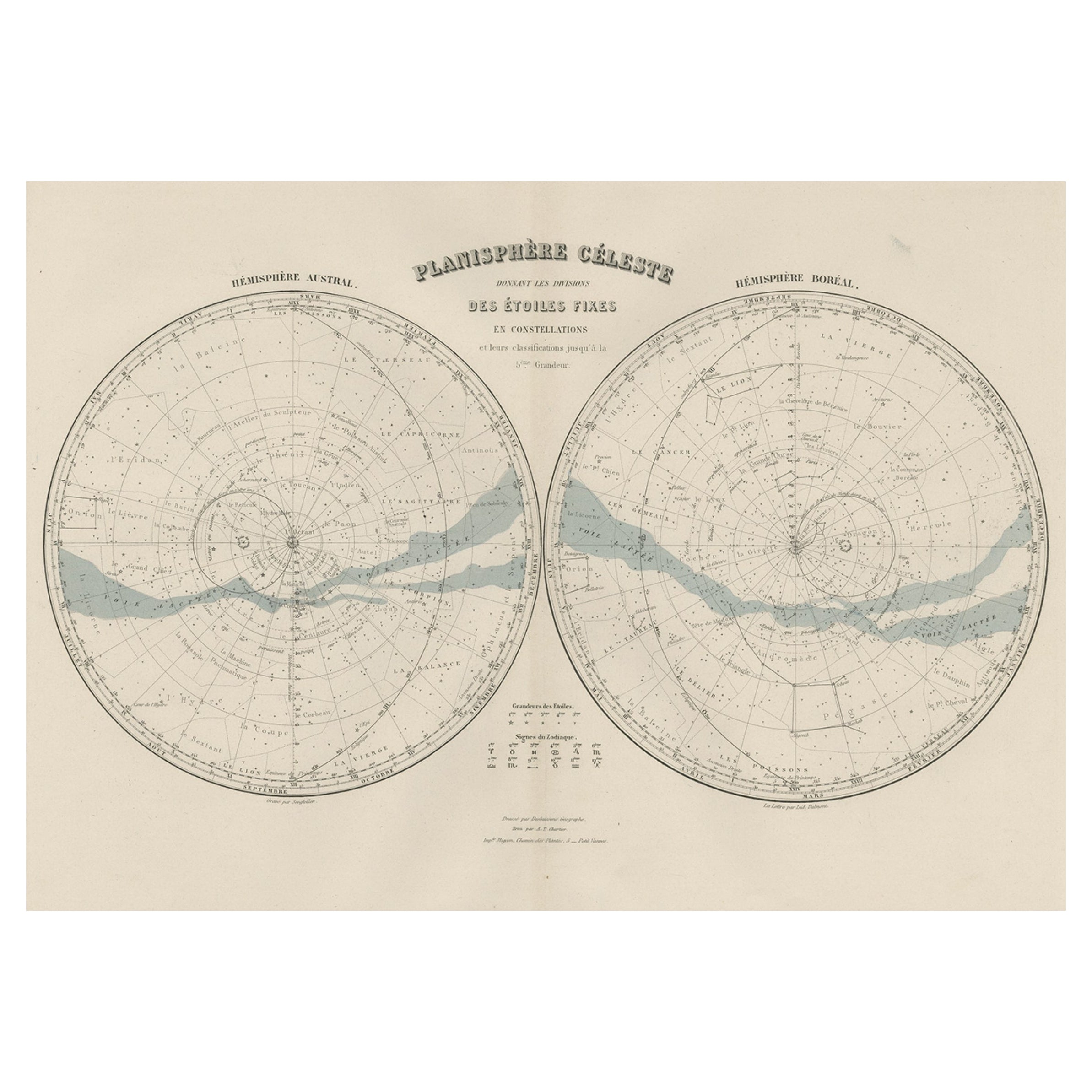
- Antique Map of the Night Skies of the Northern and Southern Hemispheres, 1880Located in Langweer, NLAntique world map titled 'Planisphère en Céleste'. This map depicts the night skies of both the northern and southern hemispheres. This map originates from 'Géographie Universell...Category
Antique 1880s Maps
MaterialsPaper
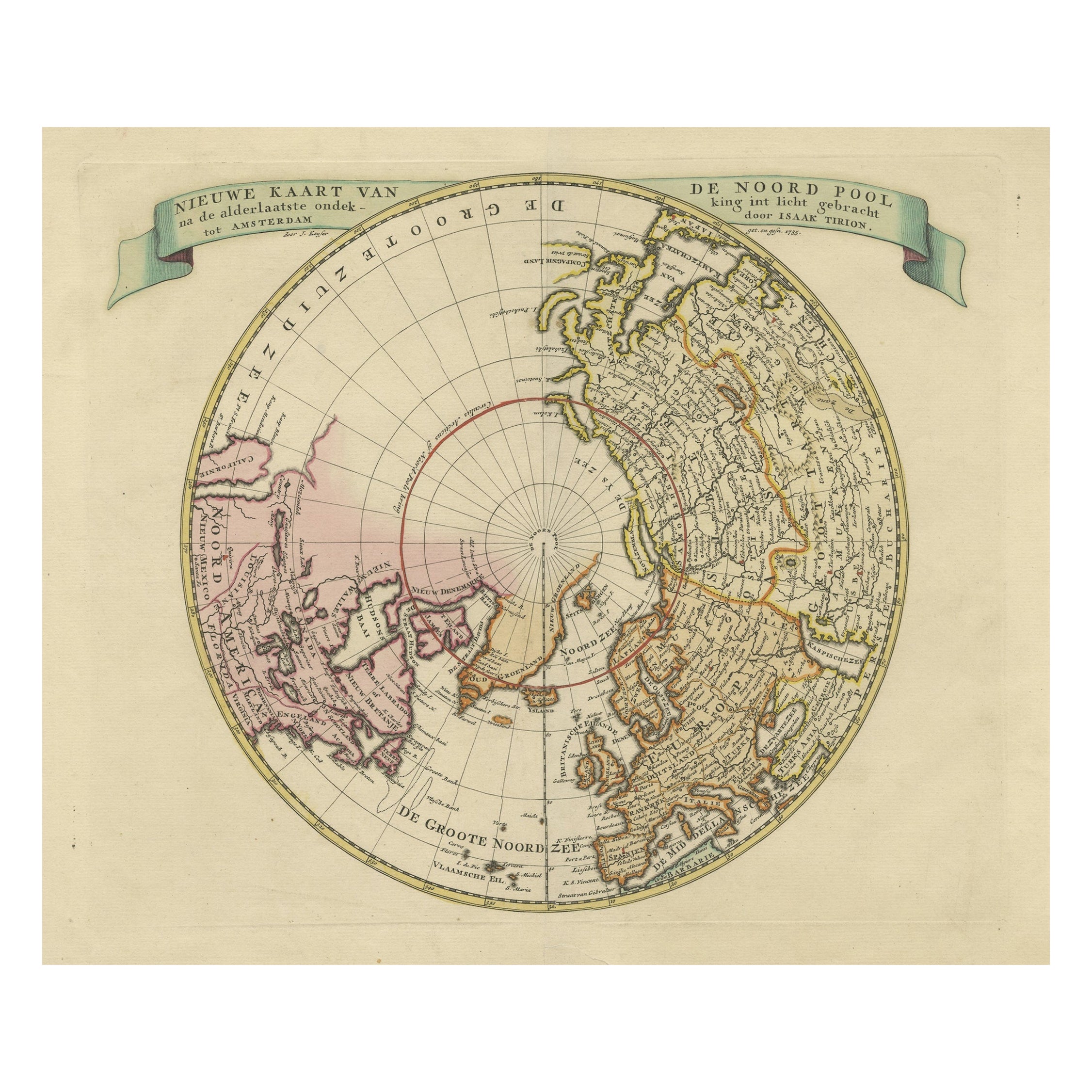
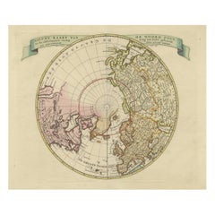
- Beautiful Antique Map of the Northern Hemisphere with California as an IslandBy Isaak TirionLocated in Langweer, NLAntique map titled 'Nieuwe Kaart van de Noord Pool na de alderlaatste ontdekking int licht gebracht tot Amsterdam door Isaak Tirion'. Beautiful map of the Northern Hemisphere and Nor...Category
Antique Mid-18th Century Maps
MaterialsPaper
- Antique Map of the Northern Hemisphere and North Pole by Tirion, circa 1754Located in Langweer, NLAntique map titled 'Nieuwe Kaart van de Noord Pool na de alderlaatste ondekking int licht gebracht'. Map of the Northern Hemisphere and North Pole, which shows the NE Passage, but no...Category
Antique Mid-18th Century Maps
MaterialsPaper
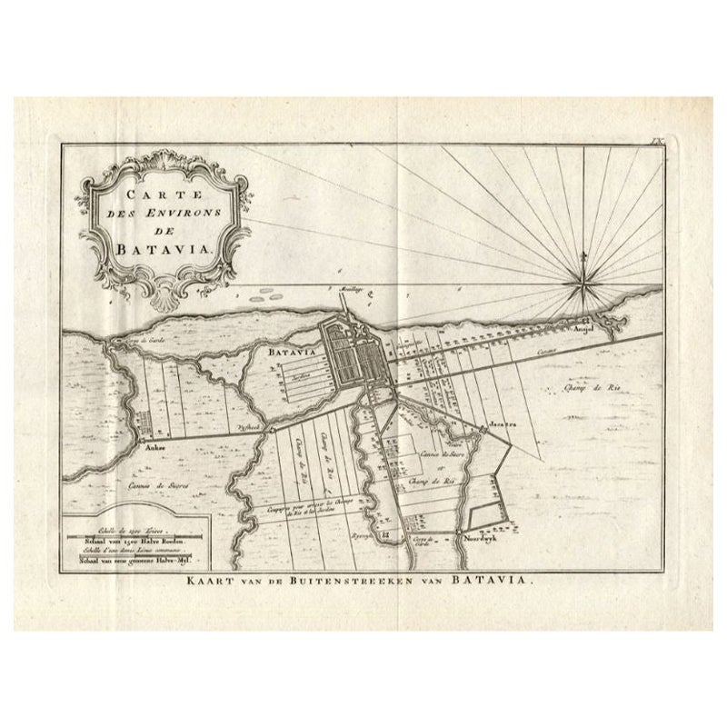
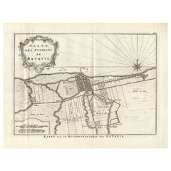
- Antique Map of the Region of Batavia by Conrade, 1782Located in Langweer, NLAntique map titled 'Carte des environs de Batavia.' (Map of Batavia and its surroundings.) Map of the Batavia area (Jakarta) in Indonesia. With cartouche, scale and compass rose. Thi...Category
Antique 18th Century Maps
MaterialsPaper
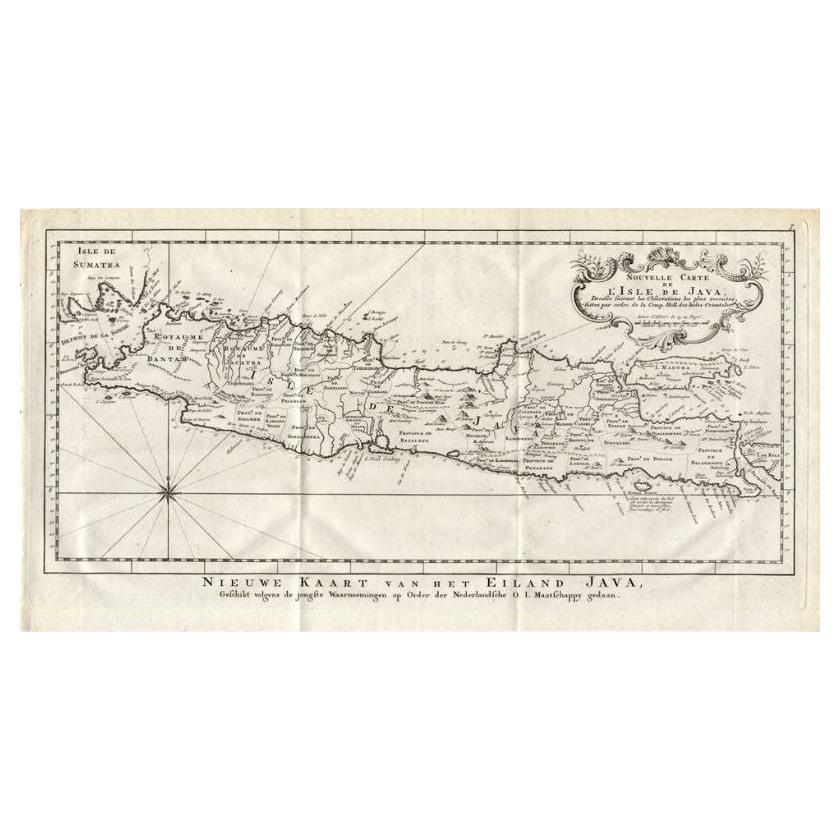
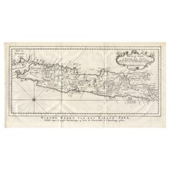
- Antique Map of the Island of Java by Conrade, 1782Located in Langweer, NLAntique map titled 'Nouvelle Carte de l' Isle de Java.' (New Map of Java.) This very detailed map shows the Indonesian Island of Java. With cartouche, scale and compass rose. This pr...Category
Antique 18th Century Maps
MaterialsPaper


You May Also Like
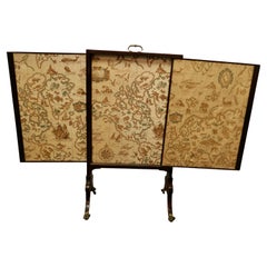
- Triple Extending Fire Screen of Northern Hemisphere MapLocated in Chillerton, Isle of WightA triple extending fire screen of Northern Hemisphere Map A wonderful piece the screen has 3 double sided silk panels printed with Northern Hemisphe...Category
Antique 19th Century Adam Style Screens and Room Dividers
MaterialsSilk
- 1861 Topographical Map of the District of Columbia, by Boschke, Antique MapLocated in Colorado Springs, COPresented is an original map of Albert Boschke's extremely sought-after "Topographical Map of the District of Columbia Surveyed in the Years 1856 ...Category
Antique 1860s American Historical Memorabilia
MaterialsPaper
- Original Antique Map of the American State of Nevada, 1889Located in St Annes, LancashireGreat map of Nevada Drawn and Engraved by W. & A.K. Johnston Published By A & C Black, Edinburgh. Original colour Unframed.Category
Antique 1880s Scottish Victorian Maps
MaterialsPaper
- Original Antique Map of the American State of Oregon, 1889Located in St Annes, LancashireGreat map of Oregon Drawn and Engraved by W. & A.K. Johnston Published By A & C Black, Edinburgh. Original colour Unframed.Category
Antique 1880s Scottish Victorian Maps
MaterialsPaper
- Original Antique Map of the American State of Pennsylvania, 1889Located in St Annes, LancashireGreat map of Pennsylvania Drawn and Engraved by W. & A.K. Johnston Published By A & C Black, Edinburgh. Original colour Unframed. Repair to a minor tear on bottom edge.Category
Antique 1880s Scottish Victorian Maps
MaterialsPaper
- Original Antique Map of the American State of Washington, 1889Located in St Annes, LancashireGreat map of Washington Drawn and Engraved by W. & A.K. Johnston Published By A & C Black, Edinburgh. Original colour Unframed.Category
Antique 1880s Scottish Victorian Maps
MaterialsPaper


Recently Viewed
View AllMore Ways To Browse
Hemispheres Map
Hemisphere Antiques
Northern Hemisphere
Antique Hemisphere Maps
Antique House Plans
Antique Metal Window
Antique Metal Windows
Antique Furniture Rollers
Antiques Compasses
Antique Map Book
Antique Maps Book
Italy Map Antique
Antique Admiral
Antique Maps Of Italy
Antique Map Of Italy
Map Of Italy Antique
Ocean Map
Ocean Maps