Items Similar to Antique Map of Paraguay by A. Montanus, circa 1671


Want more images or videos?
Request additional images or videos from the seller
1 of 5
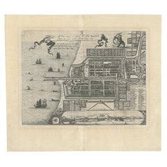
Antique Map of Paraguay by A. Montanus, circa 1671
About the Item
Antique map titled 'Paraquaria Vulgo Paraguay Cum adjacentibus'. Antique map extending from Rio de Janiero to the Rio de la Plata basin. The map includes Uruguay, Paraguay, part of northern Argentina and northern Chili.
- Creator:Arnoldus Montanus (Artist)
- Dimensions:Height: 12.13 in (30.8 cm)Width: 15.67 in (39.8 cm)Depth: 0.02 in (0.5 mm)
- Materials and Techniques:
- Period:Mid-17th Century
- Date of Manufacture:circa 1671
- Condition:Wear consistent with age and use. Few tiny marginal tears, please study images carefully.
- Seller Location:Langweer, NL
- Reference Number:
About the Seller
5.0
Platinum Seller
These expertly vetted sellers are 1stDibs' most experienced sellers and are rated highest by our customers.
Established in 2009
1stDibs seller since 2017
1,946 sales on 1stDibs
Typical response time: <1 hour
- ShippingRetrieving quote...Ships From: Langweer, Netherlands
- Return PolicyA return for this item may be initiated within 14 days of delivery.
More From This SellerView All
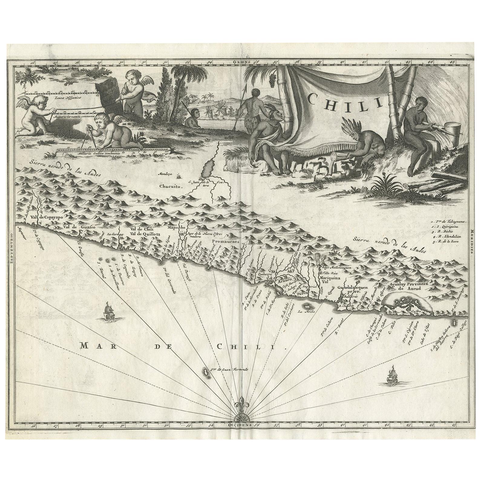
- Antique Map of Chili by Montanus, circa 1671By Arnoldus MontanusLocated in Langweer, NLAntique map titled 'Chili'. A very attractive map covering the known coastal region of Chile. The Andes are shown prominently, with two live volcanoes in the vicinity of Villarrica. ...Category
Antique Mid-17th Century Maps
MaterialsPaper
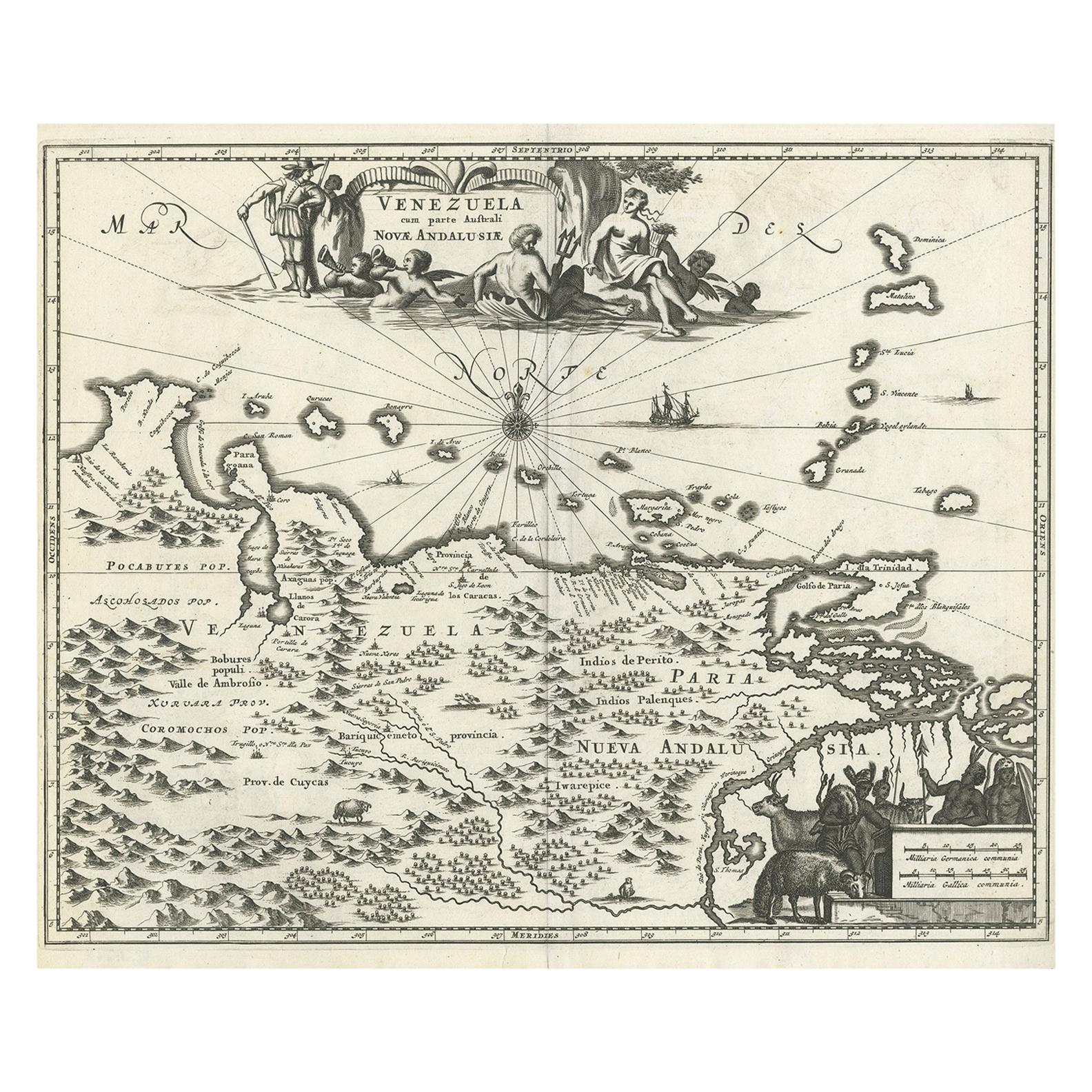
- Antique Map of Venezuela by Montanus, 1671By Arnoldus MontanusLocated in Langweer, NLAntique map titled 'Venezuela cum parte Australi Novae Andalusiae'. The map extends from Coquibocoa to the Orinoque River, centered on Bariquicemento and Cape de Curiacao. Large cart...Category
Antique Mid-17th Century English Maps
MaterialsPaper
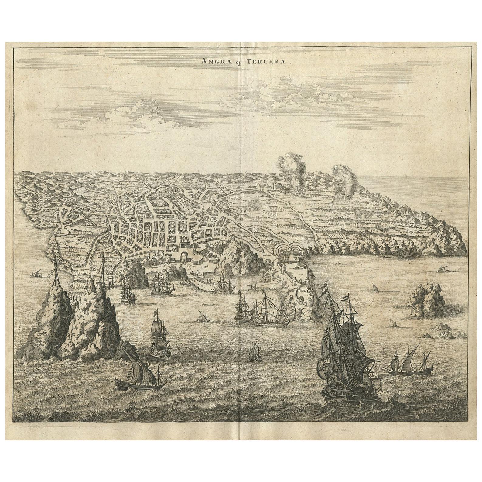
- Antique Print of Angra 'Azores' by A. Montanus, 1671By Arnoldus MontanusLocated in Langweer, NLAntique print titled 'Angra op Tercera'. Antique print of Angra, Azores, in Portugal, during the mid-17th century. Shows roadways buildings, fortifications and geographical features;...Category
Antique Mid-17th Century Prints
MaterialsPaper
- Antique Map of Asia by Dufour, circa 1834Located in Langweer, NLAntique map titled 'Asie par A.H. Dufour'. Uncommon map of Asia. Published by or after A.H. Dufour, circa 1834. Source unknown, to be determined.Category
Antique Mid-19th Century Maps
MaterialsPaper
- Antique Map of Africa by Dufour, circa 1834Located in Langweer, NLAntique map titled 'Afrique'. Uncommon map of Africa. Published by or after A.H. Dufour, circa 1834. Source unknown, to be determined.Category
Antique Mid-19th Century Maps
MaterialsPaper
- Antique Map of Batavia 'Jakarta', Indonesia by Montanus, circa 1669Located in Langweer, NLAntique map Batavia titled 'Ware Affbeeldinge wegens het Casteel ende Stadt Batavia'. Antique print of the castle and city of Batavia on the Island of Java'. Rare edition with Englis...Category
Antique 17th Century Maps
MaterialsPaper


You May Also Like
- Original Antique Map of Cyprus. Circa 1880Located in St Annes, LancashireGreat map of Cyprus Drawn and Engraved by R.Walker Published W.Mackenzie, London Original colour Unframed.Category
Antique 1880s English Maps
MaterialsPaper
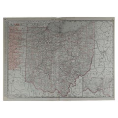
- Large Original Antique Map of Ohio by Rand McNally, circa 1900By Rand McNally & Co.Located in St Annes, LancashireFabulous monochrome map with red outline color Original color By Rand, McNally & Co. Published, circa 1900 Unframed Repairs to minor edge tears.Category
Antique Early 1900s American Edwardian Maps
MaterialsPaper
- Original Antique Map of South Dakota by Rand McNally, circa 1900By Rand McNally & Co.Located in St Annes, LancashireFabulous monochrome map with red outline color Original color By Rand, McNally & Co. Published, circa 1900 Unframed Minor edge tears.Category
Antique Early 1900s American Edwardian Maps
MaterialsPaper
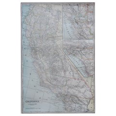
- Large Original Antique Map of California, USA, circa 1900Located in St Annes, LancashireFabulous map of California Original color Engraved and printed by the George F. Cram Company, Indianapolis. Published, circa 1900 Unframed Free shipping.Category
Antique 1890s American Maps
MaterialsPaper
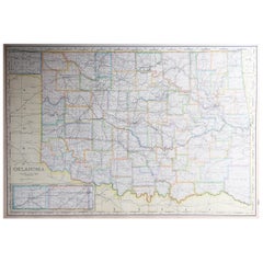
- Large Original Antique Map of Oklahoma, USA, circa 1900Located in St Annes, LancashireFabulous map of Oklahoma Original color Engraved and printed by the George F. Cram Company, Indianapolis. Published, circa 1900 Unframed Repair to...Category
Antique 1890s American Maps
MaterialsPaper
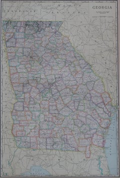
- Large Original Antique Map of Georgia, USA, circa 1900Located in St Annes, LancashireFabulous map of Georgia Original color Engraved and printed by the George F. Cram Company, Indianapolis. Published, circa 1900 UnframedCategory
Antique 1890s American Maps
MaterialsPaper


Recently Viewed
View AllMore Ways To Browse
Argentine Antiques
Antique Argentine
Argentine Antique Furniture
Argentina Plata
Argentina Map
Paraguay Antique Map
Antique Map Of Argentina
Antique Map Argentina
Uruguay Antique Map
Arnoldus Montanus On Sale
Original World Map
World Atlas
Map Of Itsly
Antique World Map
World Map Antique
World Antique Map
Antique Map World
Antique Maps World