Items Similar to Antique Map of the Region Near the Gulf of Zula, 1870


Want more images or videos?
Request additional images or videos from the seller
1 of 5
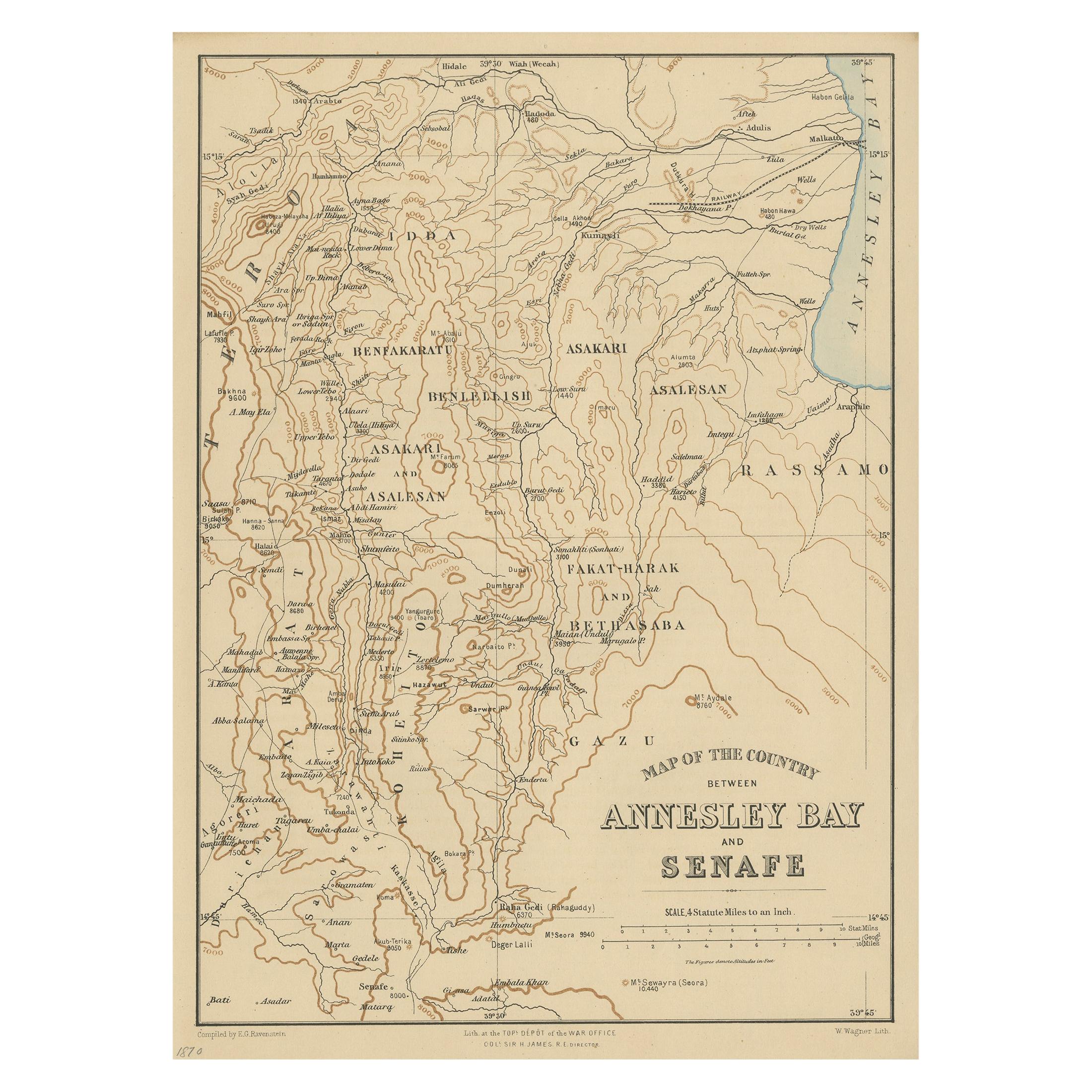
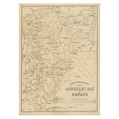
Antique Map of the Region Near the Gulf of Zula, 1870
About the Item
Antique map titled 'Map of the Country between Annesley Bay and the Plain of Salt'. Lithographed map of the region near the Gulf of Zula, also known as Annesley Bay, Baia di Arafali or Zula Bahir Selat’e, is a body of water on the Eritrean coastline on the Red Sea. Lithographed by Wagner.
- Dimensions:Height: 11.42 in (29 cm)Width: 8.27 in (21 cm)Depth: 0.02 in (0.5 mm)
- Materials and Techniques:
- Period:
- Date of Manufacture:1870
- Condition:General age-related toning, blank verso. Please study images carefully.
- Seller Location:Langweer, NL
- Reference Number:
About the Seller
5.0
Platinum Seller
These expertly vetted sellers are 1stDibs' most experienced sellers and are rated highest by our customers.
Established in 2009
1stDibs seller since 2017
1,947 sales on 1stDibs
Typical response time: <1 hour
- ShippingRetrieving quote...Ships From: Langweer, Netherlands
- Return PolicyA return for this item may be initiated within 14 days of delivery.
More From This SellerView All
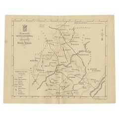
- Antique Map of the region near Annesley Bay by Wagner, 1870Located in Langweer, NLAntique print titled 'Map of the Country between Annesley Bay and Senafe'. Map of the region near Annesley Bay (Gulf of Zula, Bay of Arafali), Eritrea, Africa. The bay is located abo...Category
Antique Mid-19th Century Maps
MaterialsPaper
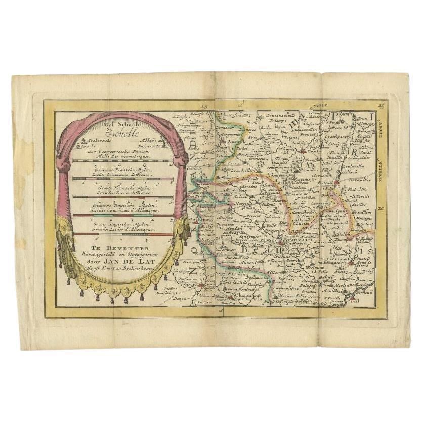
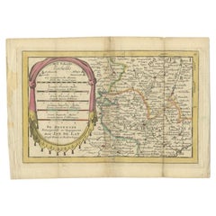
- Antique Map of the Region of Beauvais in France, 1737Located in Langweer, NLUntitled map of the region of Beauvais, France. This map originates from 'Nieuw en beknopt Kaart-Boekje vertoonende de XVII. Nederlandse Provintien (..)'. Artists and Engravers: Au...Category
Antique 18th Century Maps
MaterialsPaper
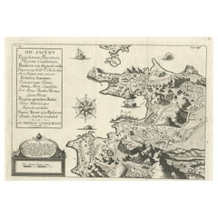
- Old Original Map of Pozzuoli Near Naples in the Campania Region, Italy, ca.1740Located in Langweer, NLAntique map titled 'Hic Jacent Puteolorum Bajarum (..)'. Old map of the region of Pozzuoli showing the topographic and architectural features of interest. Pozzuoli is a city and comu...Category
Antique 1740s Maps
MaterialsPaper
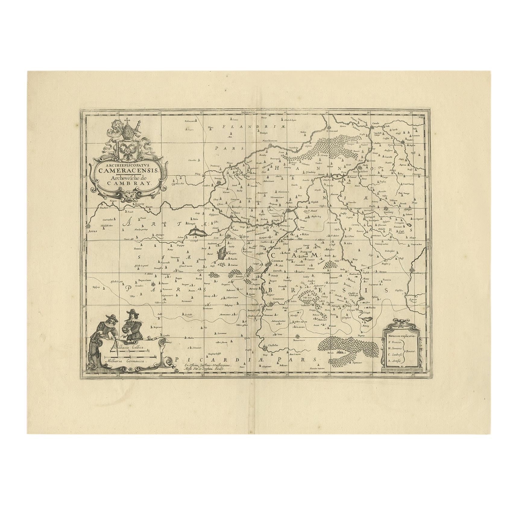
- Antique Map of the Cambrai Region by Pitt, circa 1680Located in Langweer, NLAntique map titled 'Archiepiscopatus Cameracensis - Archevesche de Cambray'. Decorative map of the Cambrai region of France. This map originates from 'The English Atlas' by Moses Pit...Category
Antique Late 17th Century Maps
MaterialsPaper
- Antique Map of the Hesse Region of Germany by Blaeu, 1665Located in Langweer, NLAntique map titled 'Hassia Landgraviatus'. Map of the Hesse Region of Germany. This map originates from 'Atlas Maior Sive Cosmographia Blaviana, Qua Solvm, Salvm, Coelvm, Accvratissi...Category
Antique 17th Century Maps
MaterialsPaper
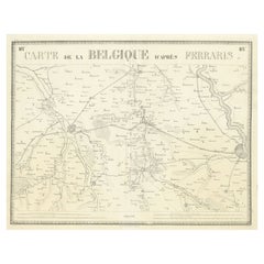
- Antique Map of the Region near Cologne, GermanyLocated in Langweer, NLAntique map titled 'Carte de la Belgique d'après Ferraris'. Original antique map of the region near Cologne, Germany. Cologne is the largest city of the German western state of North...Category
Antique Mid-19th Century Maps
MaterialsPaper

You May Also Like
- Large Original Antique Map of The World, Fullarton, C.1870Located in St Annes, LancashireGreat map of the World. Showing both hemispheres From the celebrated Royal Illustrated Atlas Lithograph. Original color. Published by Fullarton, Edinburgh, C.1870 Unframed. Rep...Category
Antique 1870s Scottish Maps
MaterialsPaper
- Large Original Antique Map of the World, Fullarton, circa 1870Located in St Annes, LancashireGreat map of the World. From the celebrated Royal Illustrated Atlas Lithograph. Original color. Published by Fullarton, Edinburgh, circa 1870. Unframed.Category
Antique 1870s Scottish Maps
MaterialsPaper
- Large Original Antique Map of The Pacific Ocean, Fullarton, C.1870Located in St Annes, LancashireGreat map of The Pacific Ocean From the celebrated Royal Illustrated Atlas Lithograph by Swanston. Original color. Published by Fullarton,...Category
Antique 1870s Scottish Maps
MaterialsPaper
- Large Original Antique Map of Australia, Fullarton, C.1870Located in St Annes, LancashireGreat map of Australia From the celebrated Royal Illustrated Atlas Engraved by Swanston after the drawing by Augustus Petermann Lithograph. Original color. Published by ...Category
Antique 1870s Scottish Maps
MaterialsPaper
- Original Antique Decorative Map of Japan, Fullarton, C.1870Located in St Annes, LancashireGreat map of Japan Wonderful figural border From the celebrated Royal Illustrated Atlas Lithograph. Original color. Published by Fullarton, Edinburgh, C.1870 Unframed...Category
Antique 1870s Scottish Maps
MaterialsPaper
- Large Original Antique Map of China, Fullarton, C.1870Located in St Annes, LancashireGreat map of China From the celebrated Royal Illustrated Atlas Lithograph by Swanston. Original color. Published by Fullarton, Edinburgh. C.1870 Repairs to minor edge te...Category
Antique 1870s Scottish Maps
MaterialsPaper


Recently Viewed
View AllMore Ways To Browse
Maps Red Sea
Prints Of Antique Maps
Antique Over A Hundred Years Old
Antique Furniture Plans
Antique Rare Maps
Rare Antique Maps
Original Antique World Map
Map Of United States
Antique German Collectible
Authentic Antique Maps
The United States Map
Map France
Map Of The United States
Antiques From Scotland
France Antique Map
Antique Map France
Antique French Maps
Antique French Map