Items Similar to Antique Map of Switzerland by Johnston, 1882
Want more images or videos?
Request additional images or videos from the seller
1 of 5
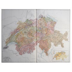
Antique Map of Switzerland by Johnston, 1882
About the Item
Antique map titled 'Switzerland and the Alps of Savoy and Piedmont'. Old map of Switzerland and the Alps of Savoy and Piedmont. This map originates from 'The Royal Atlas of Modern Geography, Exhibiting, in a Series of Entirely Original and Authentic Maps, the Present Condition of Geographical Discovery and Research in the Several Countries, Empires, and States of the World' by A.K. Johnston. Published by W. and A.K. Johnston, 1882. Artists and Engravers: Alexander Keith Johnston LLD (1804-1871) was a Scottish geographer. He was a pupil of the Edinburgh engraver and mapmaker, James Kirkwood. In 1826, he joined his brother William (who would become Sir William Johnston, Lord Provost of Edinburgh) in a printing and engraving business, forming the well-known cartographical firm of W. and A. K. Johnston.
Artist: Alexander Keith Johnston LLD (1804-1871) was a Scottish geographer. He was a pupil of the Edinburgh engraver and mapmaker, James Kirkwood. In 1826, he joined his brother William (who would become Sir William Johnston, Lord Provost of Edinburgh) in a printing and engraving business, forming the well-known cartographical firm of W. and A. K. Johnston.
Condition: Good, general age-related toning. Please study image carefully.
Date: 1882
Overall size: 48.6 x 61.6 cm.
Image size: 0.001 x 44.2 x 57.3 cm.
Antique prints have long been appreciated for both their aesthetic and investment value. They were the product of engraved, etched or lithographed plates. These plates were handmade out of wood or metal, which required an incredible level of skill, patience and craftsmanship. Whether you have a house with Victorian furniture or more contemporary decor an old engraving can enhance your living space. We offer a wide range of authentic antique prints for any budget.
- Dimensions:Height: 24.26 in (61.6 cm)Width: 19.14 in (48.6 cm)Depth: 0 in (0.01 mm)
- Materials and Techniques:
- Period:
- Date of Manufacture:1882
- Condition:
- Seller Location:Langweer, NL
- Reference Number:
About the Seller
5.0
Platinum Seller
These expertly vetted sellers are 1stDibs' most experienced sellers and are rated highest by our customers.
Established in 2009
1stDibs seller since 2017
1,940 sales on 1stDibs
Typical response time: <1 hour
- ShippingRetrieving quote...Ships From: Langweer, Netherlands
- Return PolicyA return for this item may be initiated within 14 days of delivery.
More From This SellerView All
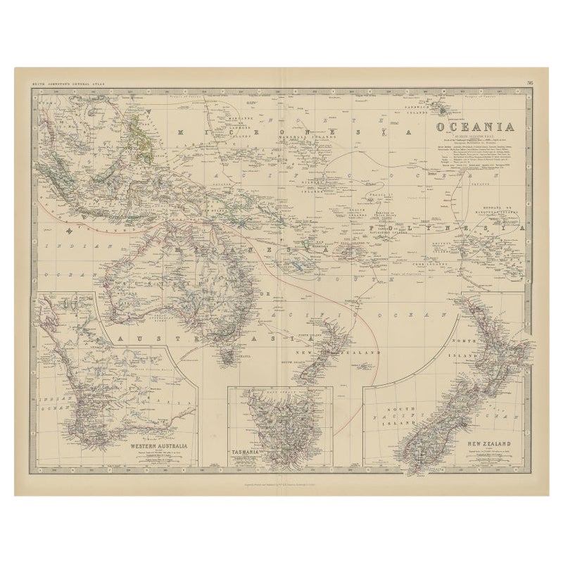
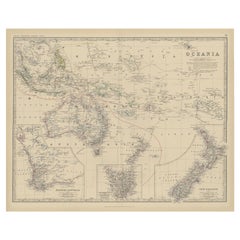
- Antique Map of Oceania by Johnston, 1882Located in Langweer, NLAntique map titled 'Oceania'. Old map of Oceania with inset maps of Western Australia, Tasmania and New Zealand. This map originates from 'The Royal Atlas of Modern Geography, Exhibi...Category
Antique 19th Century Maps
MaterialsPaper
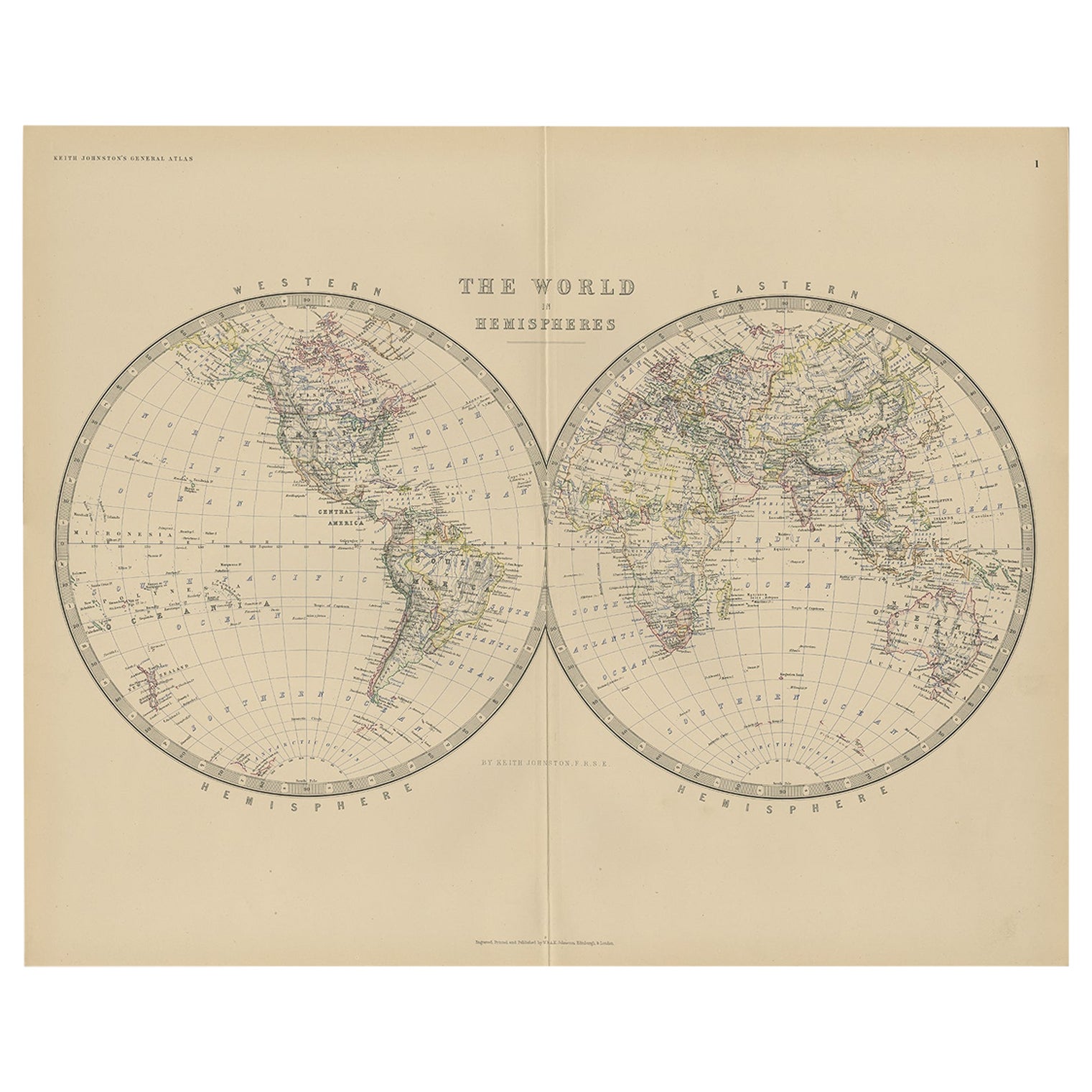
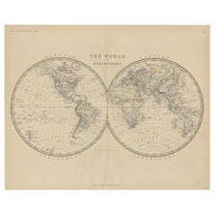
- Antique World Map by Johnston, 1882Located in Langweer, NLAntique map titled 'The World in Hemispheres'. Old double-hemisphere world map. This map originates from 'The Royal Atlas of Modern Geography, Exhibiting, in a Series of Entirely Ori...Category
Antique 19th Century Maps
MaterialsPaper
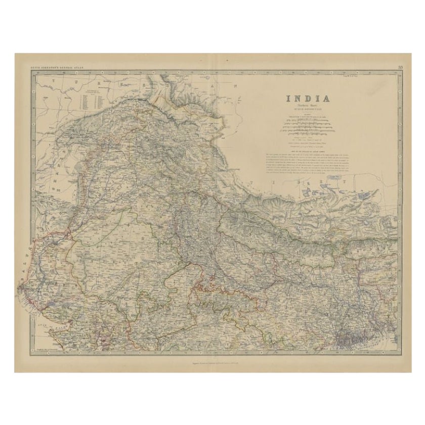
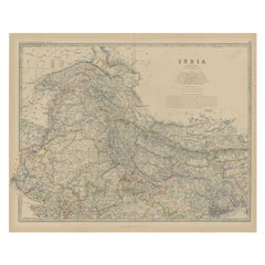
- Antique Map of Northern India by Johnston, 1882Located in Langweer, NLAntique map titled 'India (Northern Sheet)'. Old map of Northern India. This map originates from 'The Royal Atlas of Modern Geography, Exhibiting, in a Series of Entirely Original an...Category
Antique 19th Century Maps
MaterialsPaper
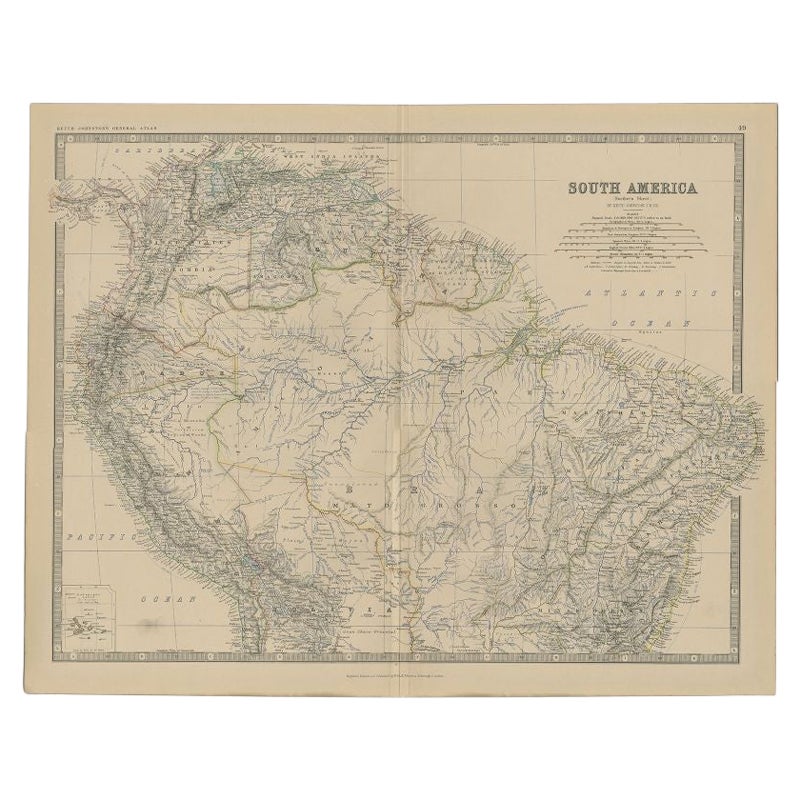
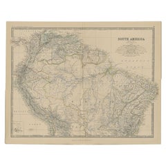
- Antique Map of South America by Johnston, 1882Located in Langweer, NLAntique map titled 'South America'. Old map of South America, with an inset map of the Galapagos Isles. This map originates from 'The Royal Atlas of Modern Geography, Exhibiting, in ...Category
Antique 19th Century Maps
MaterialsPaper
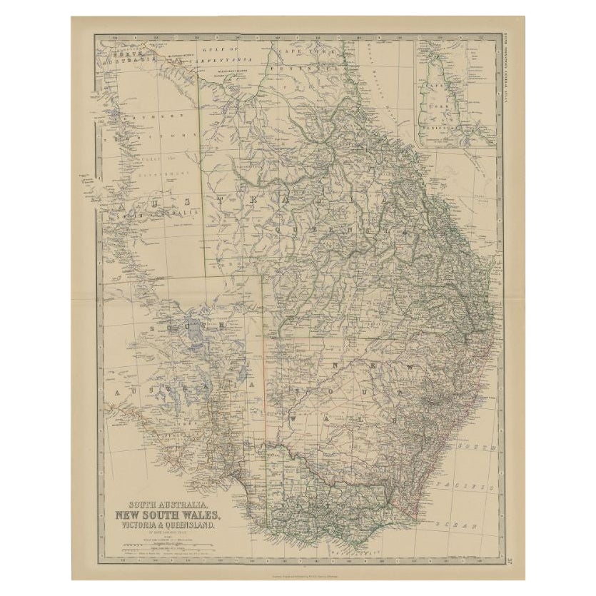
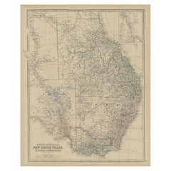
- Antique Map of South Australia by Johnston, 1882By Thomas KitchinLocated in Langweer, NLAntique map titled 'South Australia, New South Wales, Victoria & Queensland'. Old map of Southern Australia, with an inset map of Cape York Peninsula. This map originates from 'The R...Category
Antique 19th Century Maps
MaterialsPaper
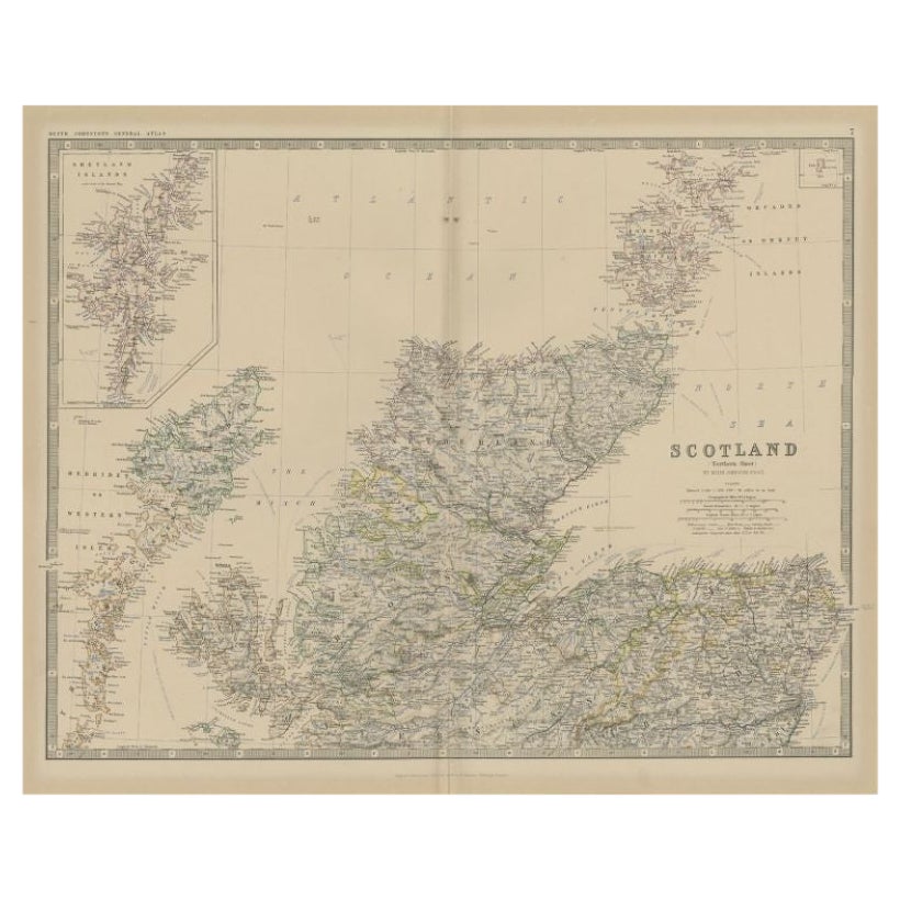
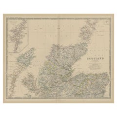
- Antique Map of Northern Scotland by Johnston, 1882Located in Langweer, NLAntique map titled 'Scotland'. Old map of Northern Scotland. This map originates from 'The Royal Atlas of Modern Geography, Exhibiting, in a Series of Entirely Original and Authentic...Category
Antique 19th Century Maps
MaterialsPaper
You May Also Like
- Original Antique Map of Switzerland, Engraved By Barlow, Dated 1807Located in St Annes, LancashireGreat map of Switzerland Copper-plate engraving by Barlow Published by Brightly & Kinnersly, Bungay, Suffolk. Dated 1807 Unframed.Category
Antique Early 1800s English Maps
MaterialsPaper
- Large Original Vintage Map of Switzerland, circa 1920Located in St Annes, LancashireGreat map of Switzerland Original color. Good condition Published by Alexander Gross Unframed.Category
Vintage 1920s English Maps
MaterialsPaper
- 1861 Topographical Map of the District of Columbia, by Boschke, Antique MapLocated in Colorado Springs, COPresented is an original map of Albert Boschke's extremely sought-after "Topographical Map of the District of Columbia Surveyed in the Years 1856 ...Category
Antique 1860s American Historical Memorabilia
MaterialsPaper
- 1907 Map of Colorado, Antique Topographical Map, by Louis NellLocated in Colorado Springs, COThis highly detailed pocket map is a topographical map of the state of Colorado by Louis Nell from 1907. The map "has been complied from all availabl...Category
Antique Early 1900s American Maps
MaterialsPaper
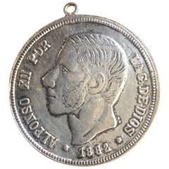
- Antique Spanish Coin Dated 1882Located in Miami, FLFine Spanish coin that was previously on a silver bracelet (sold separately). Spain, Alphonse XII (1874-1885), 5 Peseta, 1882, Year: 1882 Metal: Silver.Category
Antique 19th Century Spanish Collectible Jewelry
MaterialsSilver
- Vintage World Map Mirror Based on the Original by Johnson 1882 Military CampaignLocated in GBWe are delighted to offer for sale this lovely Antique style pictorial plan map of the globe based on the original by Johnson in 1882 This is a very interesting and decorative pie...Category
20th Century English Campaign Maps
MaterialsMirror


Recently Viewed
View AllMore Ways To Browse
Swiss Antiques
Swiss Form
Swiss Old Furniture
Swiss Metal Antique
Antique Swiss Wood
Swiss Alps
Switzerland Alps
The Swiss Alps
Empire Antiques Plate
Scottish Lord
Swiss Antiques And Collectables
Antique Map Edinburgh
Antique Map Of Edinburgh
Antique Map Series
Antique Map Switzerland
Alexander Keiths
House Of Savoy
Johnston James