Items Similar to Charming Miniature Map of Thrace or Thrake in Southeast Europe, 1685


Want more images or videos?
Request additional images or videos from the seller
1 of 5
Charming Miniature Map of Thrace or Thrake in Southeast Europe, 1685
About the Item
Antique map titled 'Thraciae Descriptio.'
Charming miniature map of Thrace, from the pocket atlas 'Introductionis in Universam Geographiam tam Veterem quam novam .. Acessit P. Bertii (Bertius) Brevarium Orbis Terrarum', by Ph. Cluverius (Cluver). Source unknown, to be determined.
Thrake is a geographical and historical region in Southeast Europe, now split among Bulgaria, Greece, and Turkey, which is bounded by the Balkan Mountains to the north, the Aegean Sea to the south, and the Black Sea to the east. It comprises southeastern Bulgaria (Northern Thrace), northeastern Greece (Western Thrace), and the European part of Turkey (East Thrace). The region's boundaries are based on that of the Roman Province of Thrace; the lands inhabited by the ancient Thracians extended in the north to modern-day Northern Bulgaria and Romania and to the west into the region of Macedonia.
Artists and Engravers: Philipp Cluver (1580 - 1622), early modern German geographer and historian.
- Dimensions:Height: 5.12 in (13 cm)Width: 5.32 in (13.5 cm)Depth: 0 in (0.02 mm)
- Materials and Techniques:
- Period:1680-1689
- Date of Manufacture:1685
- Condition:Condition: Good, given age. Original folds as issued. General age-related toning and/or occasional minor defects from handling. Please study image carefully.
- Seller Location:Langweer, NL
- Reference Number:
About the Seller
5.0
Platinum Seller
These expertly vetted sellers are 1stDibs' most experienced sellers and are rated highest by our customers.
Established in 2009
1stDibs seller since 2017
1,946 sales on 1stDibs
Typical response time: <1 hour
- ShippingRetrieving quote...Ships From: Langweer, Netherlands
- Return PolicyA return for this item may be initiated within 14 days of delivery.
More From This SellerView All
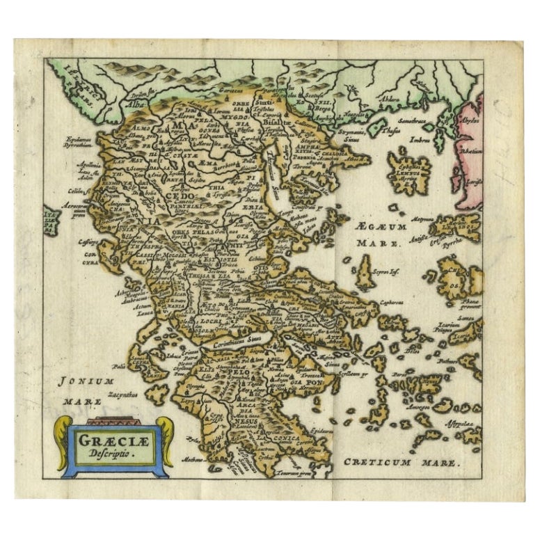
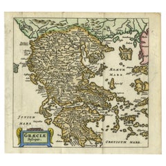
- Charming 18th Century Miniature Map of Greece, 1685Located in Langweer, NLAntique map titled 'Graeciae Descriptio.' Charming miniature map of Greece from the pocket atlas 'Introductionis in Universam Geographiam tam Veterem qu...Category
Antique 17th Century Maps
MaterialsPaper
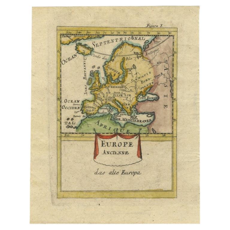
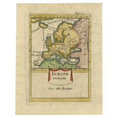
- Antique Hand-Coloured Miniature Map of Ancient Europe, c.1685Located in Langweer, NLAntique map of Europe titled 'Europe Ancienne, Das alte Europa'. Hand-coloured miniature map with much detail. German subtitle. Artists and Engravers: Alain Manneson Mallet (1630-...Category
Antique 17th Century Maps
MaterialsPaper
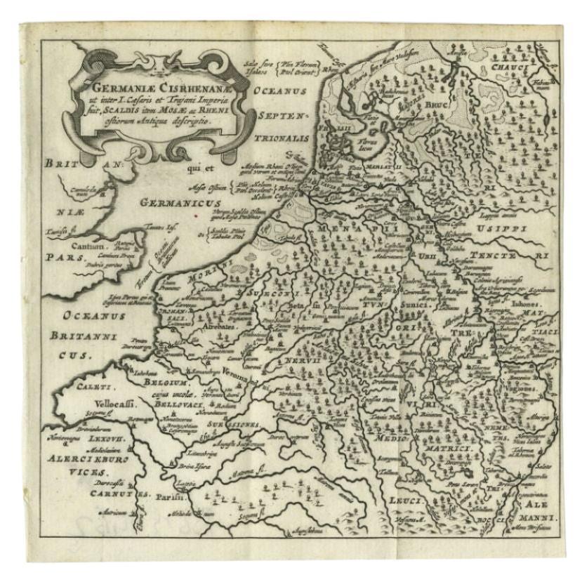
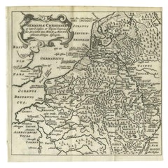
- Antique Map of the Low Countries and Surroundings in Europe, 1685By Philipp ClüverLocated in Langweer, NLAntique map titled 'Germaniae Cisrhenanae ut ineter I Caesaris et Traiani Suit imperia Scaldis Item Mose ac Rheni.' Miniature map of the Low Countries and part of Germany and France....Category
Antique 17th Century Maps
MaterialsPaper
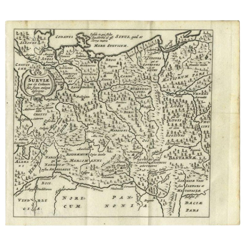
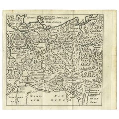
- Antique Map of Swabia, 1685Located in Langweer, NLAntique map titled 'Sueviae quae cis Codanum fuit finum Antiqua defcriptio.' Miniature map of Swabia, a medieval Duchy in south-west Germany, that also included part of Poland, from ...Category
Antique 17th Century Maps
MaterialsPaper
- Antique Map of India to Southeast AsiaLocated in Langweer, NLAntique map titled 'Indes en-decà et au-delà du Gange'. Original old map of India to Southeast Asia, showing India, Nepal, Bhutan, Sri Lanka (Ceylon), Myanmar (Birma), part of Indone...Category
Antique Mid-19th Century Maps
MaterialsPaper
- Original Antique Map Southeast of the Banda or Spice Islands, Indonesia, 1726Located in Langweer, NLAntique map titled 'Kaart van de Zuyd-Ooster Eylanden van Banda'. Map of the southeastern part of the Banda islands. This map originates from 'Oud en Nieuw Oost-Indiën' by F. Valen...Category
Antique 1720s Maps
MaterialsPaper


You May Also Like
- Original Antique Map of Europe, Arrowsmith, 1820Located in St Annes, LancashireGreat map of Europe Drawn under the direction of Arrowsmith. Copper-plate engraving. Published by Longman, Hurst, Rees, Orme and Brown, 1820 ...Category
Antique 1820s English Maps
MaterialsPaper
- Scandinavia & Portions of Eastern Europe: 18th Century Hand-Colored Homann MapBy Johann Baptist HomannLocated in Alamo, CAAn early 18th century hand-colored copper-plate map entitled "Regni Sueciae in omnes suas Subjacentes Provincias accurate divisi Tabula Generalis" by Johann Baptist Homann (1663-1724...Category
Antique Early 18th Century German Maps
MaterialsPaper
- Antique Map of Principality of MonacoBy Antonio Vallardi EditoreLocated in Alessandria, PiemonteST/619 - "Old Geographical Atlas of Italy - Topographic map of ex-Principality of Monaco" - ediz Vallardi - Milano - A somewhat special edition ---Category
Antique Late 19th Century Italian Other Prints
MaterialsPaper
- Map of the Republic of GenoaLocated in New York, NYFramed antique hand-coloured map of the Republic of Genoa including the duchies of Mantua, Modena, and Parma. Europe, late 18th century. Dimension: 25...Category
Antique Late 18th Century European Maps
- Old Nautical Map of CorsicaLocated in Alessandria, PiemonteST/556/1 - Old map of Corsica isle, surveyed by Captain Hell, of the French Royal Navy in 1824, engraved and published on 1874, with additions and corre...Category
Antique Early 19th Century English Other Prints
MaterialsPaper
- Old Horizontal Map of EnglandBy TassoLocated in Alessandria, PiemonteST/520 - Old rare Italian map of England, dated 1826-1827 - by Girolamo Tasso, editor in Venise, for the atlas of M.r Le-Sage.Category
Antique Early 19th Century Italian Other Prints
MaterialsPaper


Recently Viewed
View AllMore Ways To Browse
Antique Charming
Bulgaria Antique
Romanian Antique Furniture
South Western Antiques
Miniature Mountain
West German Antiques
Miniature Maps
Miniature Map
Antique Maps Greece
Antique Map Greece
Antique Greek Map
Antique Greece Map
Antique Maps Of Greece
Antique Map Of Greece
Turkish Map
Antique Roman Map
Roman Map
Map Of Turkey