

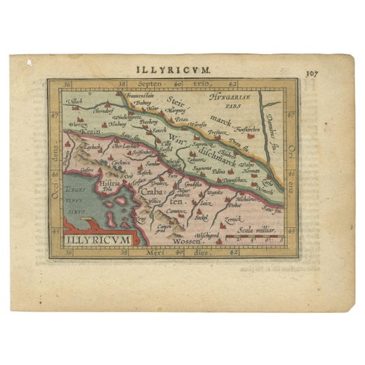
Coloured Antique Map of Sicily, Sardinia, Corfu, Elba, Malta and Zerbi (Jerba)
About the Item
- Creator:Abraham Ortelius (Artist)
- Dimensions:Height: 17.52 in (44.5 cm)Width: 22.45 in (57 cm)Depth: 0.02 in (0.5 mm)
- Materials and Techniques:
- Period:
- Date of Manufacture:c.1579
- Condition:Wear consistent with age and use. General age-related toning. Original folding line. Some wear and soiling. Latin text on verso, also two pieces of tape on verso. Please study image carefully.
- Seller Location:Langweer, NL
- Reference Number:
Abraham Ortelius
Abraham Ortelius is widely recognized as the inventor of the atlas and one of the most prominent geographers in history. He is one of the best known and most frequently collected of all sixteenth-century mapmakers, and today, hand-colored, copperplate-printed Abraham Ortelius maps continue to command avid interest.
Ortelius was the eldest of the three children of an Antwerp merchant. After his father's death when he was ten, he was raised by his uncle Jacob Van Meteren — a financier and printer of early English versions of the Bible. Ortelius entered the Guild of Saint Luke in 1547 to become a map copier and colorist, but his hobbies overshadowed his studies.
Ortelius was better known as a student of history and a collector of books and old coins than a cartographer — only initially garnering modest praise for his skills at mapmaking. Gleaning what he learned from his uncle, he became a dealer in books and prints. In 1554 he attended the annual Frankfurt Book Fair, where he met the highly respected cartographer Gerardus Mercator.
Ortelius refocused his work in mapmaking after that fateful encounter. He eventually published Theatrum Orbis Terrarum (Theater of the World) — a comprehensive collection of maps that he bound into a book. It was the first of its kind and is now recognized as the first modern-day atlas. While creating his atlas, Ortelius observed that the coast of America shared geometrical similarities with the shores of Europe and Africa. When he lined up maps of the coastlines of the continents, they matched — much like pieces in a jigsaw puzzle.
Some have argued that the concept of continental drift is at least partly rooted in Ortelius’s 16th-century-era suggestion that the continents had once been joined together as a single mass of land before the Americas were pulled away from Europe and Africa. Much later, in 1912, German meteorologist Alfred Wegener proposed in a lecture and an article that the continents had once been locked together based on data he collected. Wegener was widely ridiculed at the time, but the foundation of modern-day science of plate tectonics has its origins in his work.
On May 18, 2008, a Google Doodle celebrated the 300th anniversary of Ortelius’s atlas.
On 1stDibs, find original Abraham Ortelius prints, landscape prints and more.
- ShippingRetrieving quote...Ships From: Langweer, Netherlands
- Return PolicyA return for this item may be initiated within 14 days of delivery.
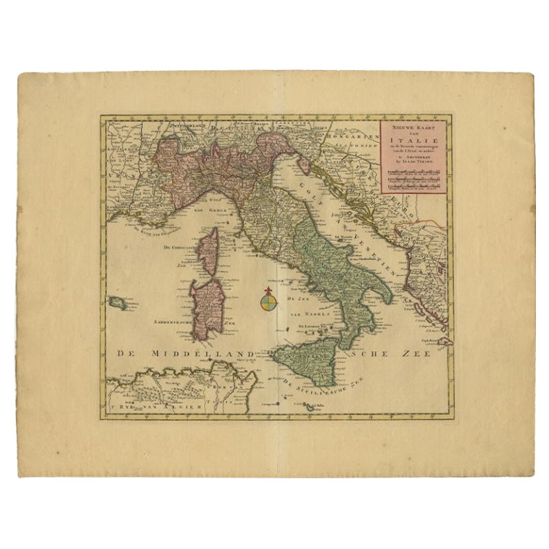
- Antique Map of Italy, Showing Corsica, Sardinia, Croatia, Malta and More, C.1740Located in Langweer, NLAntique map titled 'Nieuwe Kaart van Italie na de Nieuwste waarnemingen van de l'Isle en andere.' Attractive detailed map showing Italy as well as Corsica, Sardinia, Minorca, Croat...Category
Antique 18th Century Maps
MaterialsPaper
- Antique Map of Greece with an Inset Map of Corfu, 1854Located in Langweer, NLAntique map titled 'Hellas or Greece'. Old map of Greece with an inset map of Corfu. This map orginates from 'General Atlas Of The World: Containing Upwards Of Seventy Maps (..)' by ...Category
Antique 19th Century Maps
MaterialsPaper
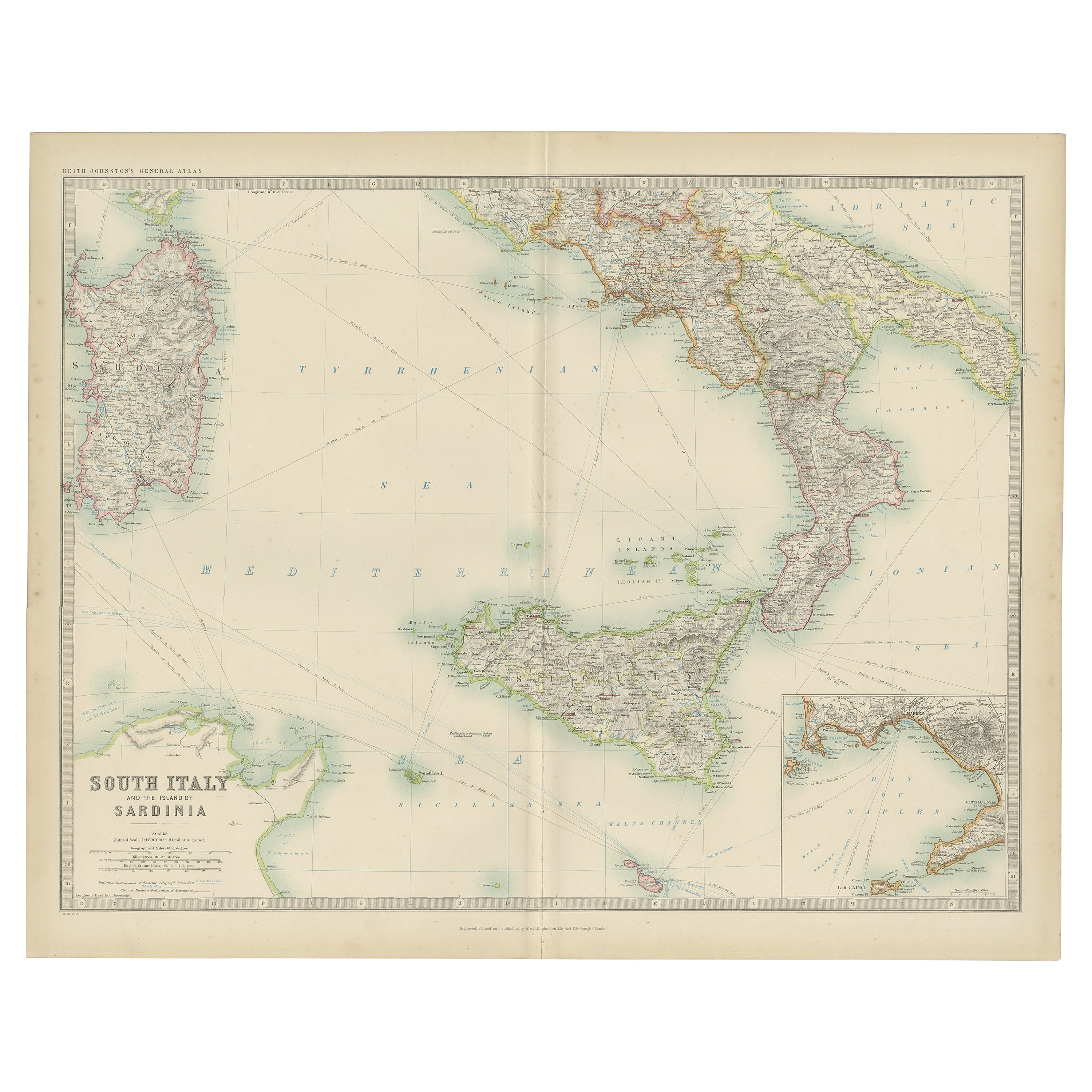
- Antique Map of South Italy and the Island of Sardinia by Johnston (1909)Located in Langweer, NLAntique map titled 'South Italy and the Island of Sardinia'. Original antique map of South Italy and the Island of Sardinia. With inset map of Naples. Th...Category
Early 20th Century Maps
MaterialsPaper
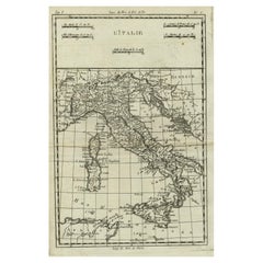
- Antique Map of Italy, Corsica, Sardinia and Sicily, ca.1780Located in Langweer, NLDescription: Antique map titled 'L'Italie.' Map of Italy, Corsica, Sardinia and Sicily. Highly detailed, showing towns, rivers, some topographical features and political boundari...Category
Antique 1780s Maps
MaterialsPaper
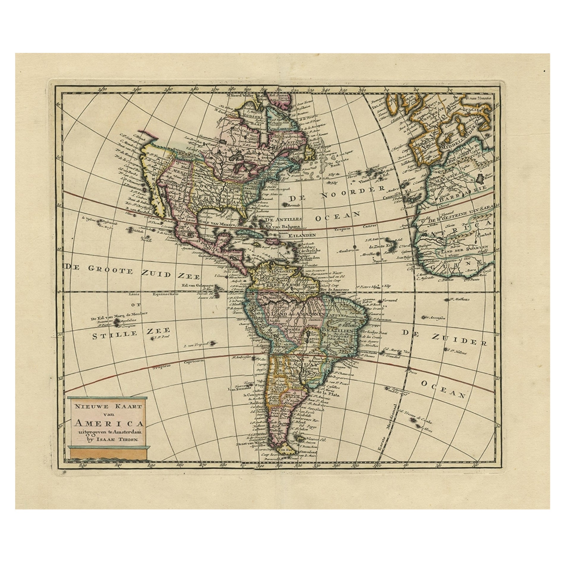
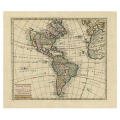
- Antique Hand-Coloured Map of North and South America, ca.1765Located in Langweer, NLDescription: Antique map titled 'Nieuwe Kaart van Amerika.' Attractive map of North and South America, the western part of Africa and south west Europe. Source unknown, to be determi...Category
Antique 1760s Maps
MaterialsPaper
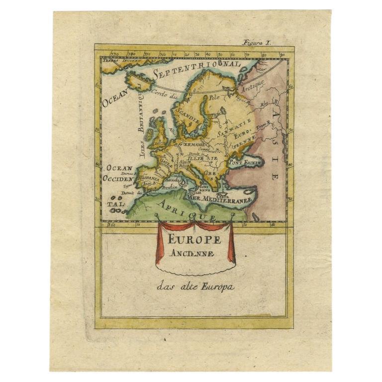
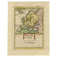
- Antique Hand-Coloured Miniature Map of Ancient Europe, c.1685Located in Langweer, NLAntique map of Europe titled 'Europe Ancienne, Das alte Europa'. Hand-coloured miniature map with much detail. German subtitle. Artists and Engravers: Alain Manneson Mallet (1630-...Category
Antique 17th Century Maps
MaterialsPaper


- Italy, Sicily, Sardinia, Corsica and Dalmatian Coast: A 17th Century Dutch MapBy Theodorus DanckertsLocated in Alamo, CAThis hand colored 17th century Dutch map entitled "Novissima et Accuratissima totius Italiae Corsicae et Sardiniae Descriptio" by Theodore Danckerts depicts the Italian Peninsula in ...Category
Antique Late 17th Century Dutch Maps
MaterialsPaper
- Antique Map of Principality of MonacoBy Antonio Vallardi EditoreLocated in Alessandria, PiemonteST/619 - "Old Geographical Atlas of Italy - Topographic map of ex-Principality of Monaco" - ediz Vallardi - Milano - A somewhat special edition ---Category
Antique Late 19th Century Italian Other Prints
MaterialsPaper
- Original Antique Map of Spain and Portugal, circa 1790Located in St Annes, LancashireSuper map of Spain and Portugal Copper plate engraving by A. Bell Published, circa 1790. Unframed.Category
Antique 1790s English Other Maps
MaterialsPaper
- Original Antique Map of Ireland- Tipperary and Waterford. C.1840Located in St Annes, LancashireGreat map of Tipperary and Waterford Steel engraving Drawn under the direction of A.Adlard Published by How and Parsons, C.1840 Unframed.Category
Antique 1840s English Maps
MaterialsPaper
- Original Antique Map of Italy. C.1780Located in St Annes, LancashireGreat map of Italy Copper-plate engraving Published C.1780 Unframed.Category
Antique Early 1800s English Georgian Maps
MaterialsPaper

- Original Antique Map of Asia. C.1780Located in St Annes, LancashireGreat map of Asia Copper-plate engraving Published C.1780 Two small worm holes to right side of map Unframed.Category
Antique Early 1800s English Georgian Maps
MaterialsPaper


