Items Similar to Decorative Vintage Print, Dutch Chart of Australia, 1st Edition, 1952

Want more images or videos?
Request additional images or videos from the seller
1 of 6
Decorative Vintage Print, Dutch Chart of Australia, 1st Edition, 1952
About the Item
The vintage school chart of Australia titled "Australië," created by W. Bakker & H. Rush and published in 1952:
**Title**: Australië
**Creators**: W. Bakker & H. Rush
**Publication Year**: 1952
**Publisher**: Dijkstra Uitgeverij Zeist
**Printer**: J. van Boekhoven in Utrecht, The Netherlands
**Scale**: 1:5,700,000
**Dimensions**: 83 x 112 cm
This first edition school chart of Australia is a notable educational tool from the early 1950s. Created by W. Bakker and H. Rush, it reflects the geographical understanding and educational methods of the time. The chart's scale of 1:5,700,000 allows for a detailed representation of Australia's geographical features, making it an excellent resource for educational purposes.
The chart was published by Dijkstra Uitgeverij Zeist, a publisher known for producing quality educational materials, and printed by J. van Boekhoven in Utrecht, The Netherlands, ensuring its high printing standards. The size of the chart, 83 x 112 cm, is substantial, making it suitable for classroom display and easy viewing by students.
**Significance**: As a vintage educational tool, this school chart is not only a window into the pedagogical approaches of the early 1950s but also serves as a historical document depicting Australia's geographical features as understood at the time. It is a valuable item for collectors, educators, and those interested in historical cartography and educational history.
This description aims to provide potential viewers or buyers with a clear and comprehensive understanding of the school chart's historical and educational value, as well as its physical characteristics.
- Dimensions:Height: 44.1 in (112 cm)Width: 32.68 in (83 cm)Depth: 0 in (0.02 mm)
- Materials and Techniques:
- Place of Origin:
- Period:
- Date of Manufacture:1952
- Condition:Good. A few signs of wear due to age and handling.
- Seller Location:Langweer, NL
- Reference Number:
About the Seller
5.0
Platinum Seller
These expertly vetted sellers are 1stDibs' most experienced sellers and are rated highest by our customers.
Established in 2009
1stDibs seller since 2017
1,933 sales on 1stDibs
Typical response time: <1 hour
- ShippingRetrieving quote...Ships From: Langweer, Netherlands
- Return PolicyA return for this item may be initiated within 14 days of delivery.
More From This SellerView All
- Vintage Wall Chart of Australia, 1949Located in Langweer, NLVintage wall chart of Australia and surroundings. Published by R. Bos and K. Zeeman, 1949.Category
Mid-20th Century Prints
MaterialsPaper
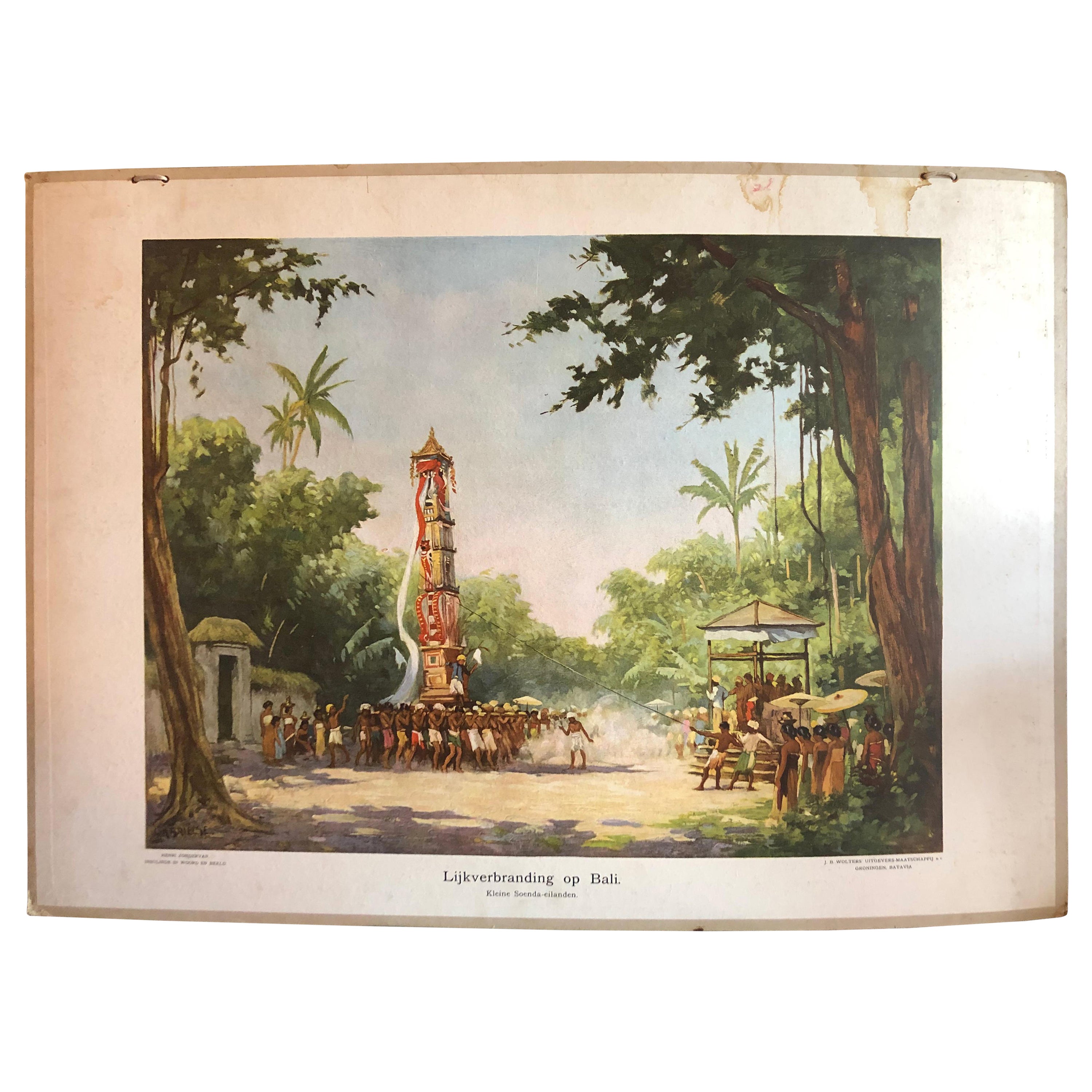
- Collection of 5 Vintage School-Charts of Indonesia, Incl Bali Ritual CremationLocated in Langweer, NLCollection of Old School Posters on cardboard of the early 20th century. Most of the images are still intact with bright colours, but the outer marg...Category
Early 20th Century Dutch Historical Memorabilia
MaterialsPaper
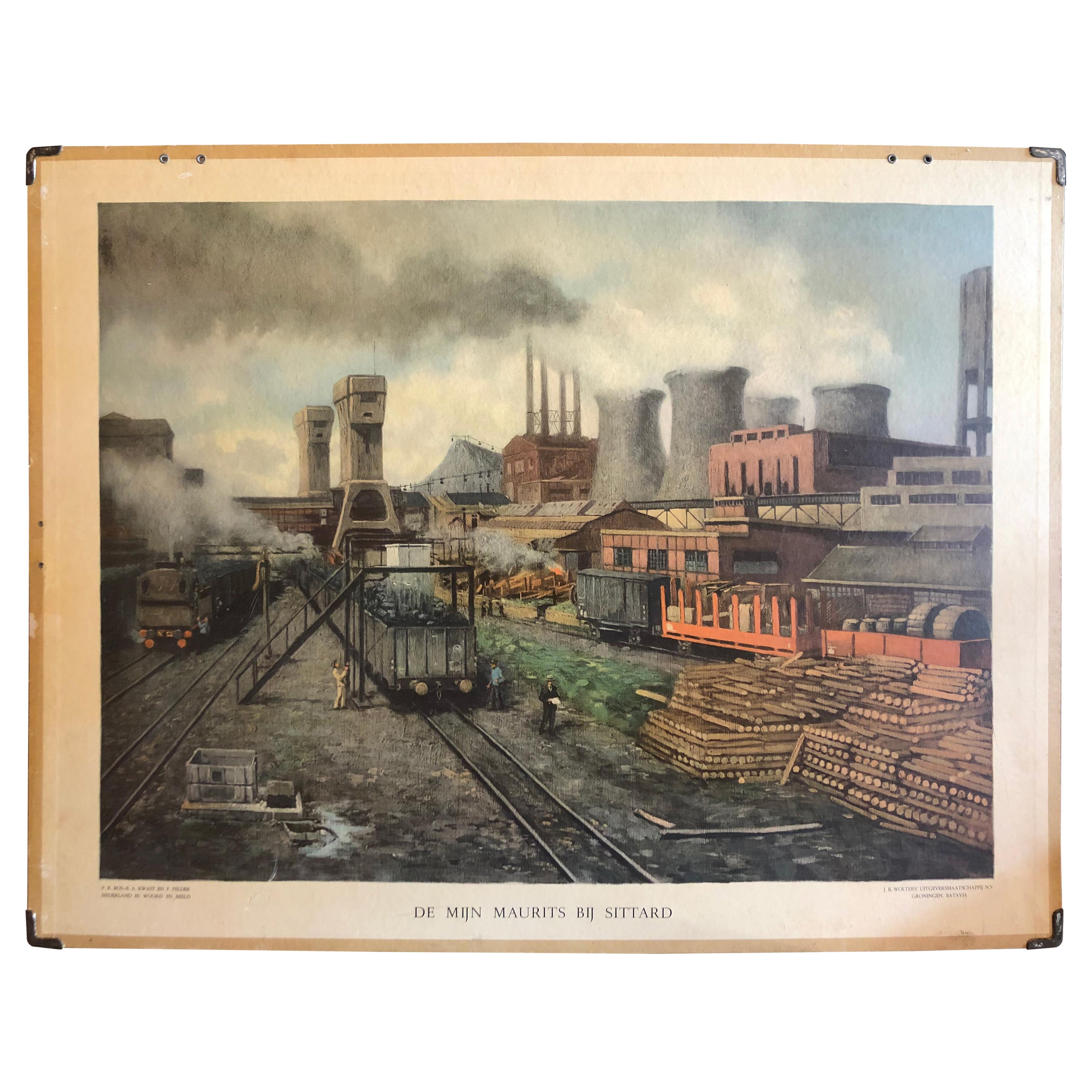
- Vintage School Chart of Coal Mining Operation Plus Cross Section on Verso, 1931Located in Langweer, NLTitle: De Mijn Maurits bij Sittard (The Maurits Mine near Sittard). On the verso 'Doorsnede van een kolen mijn in Limburg'. Translated: Cross Section of a Coalmine in Limburg (a province in the South of The Netherlands). Sittard is a city in the province of Limburg, in the south of Holland. In 1947 this coal mine was connected to another mine: the Emma Mine, by a 13 km straight tunnel. In the second half of the 1940s and in the 1950s the mine was expanded, and mining reached a depth of 810 m. A third shaft was completed in 1958. At the time of completion of the third shaft, the Maurits mine was the largest two-shafts mine in the world. It was the largest coal mine in the Netherlands. When in the beginning of the 1960s the economic tide for coal mining...Category
Early 20th Century European Posters
MaterialsOther
- Large Detailed Map of Australia Wint Inset of Tasmania, 1937Located in Langweer, NLAntique map titled 'Australia'. Large folding map of Australia. With inset map of Tasmania. Printed by L.F. Johnston, Canberra. Artists and Engravers: Compiled and drawn by Propert...Category
20th Century Maps
MaterialsPaper
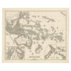
- Map of Australia, New Zealand, Part of China, Japan and Southeast Asia, 1857Located in Langweer, NLGerman Antique map titled 'Australien'. Map of Australia, New Zealand, part of China, Japan and Southeast Asia. In the upper right is a bit of the California coast by San Francisco. ...Category
Antique 19th Century Maps
MaterialsPaper
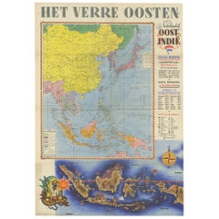
- Antique Poster Dutch East Indies, circa 1940Located in Langweer, NLBeautiful poster of the Dutch East Indies titled 'Het Verre Oosten'. This poster includes a large map of the East Indies with detailed legend. Below ...Category
Mid-20th Century Dutch Posters
MaterialsPaper


You May Also Like
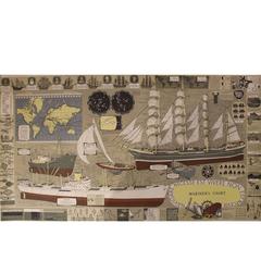
- Mariner's Chart PosterLocated in Hamilton, OntarioMariner's chart poster (nautical).Category
20th Century Posters
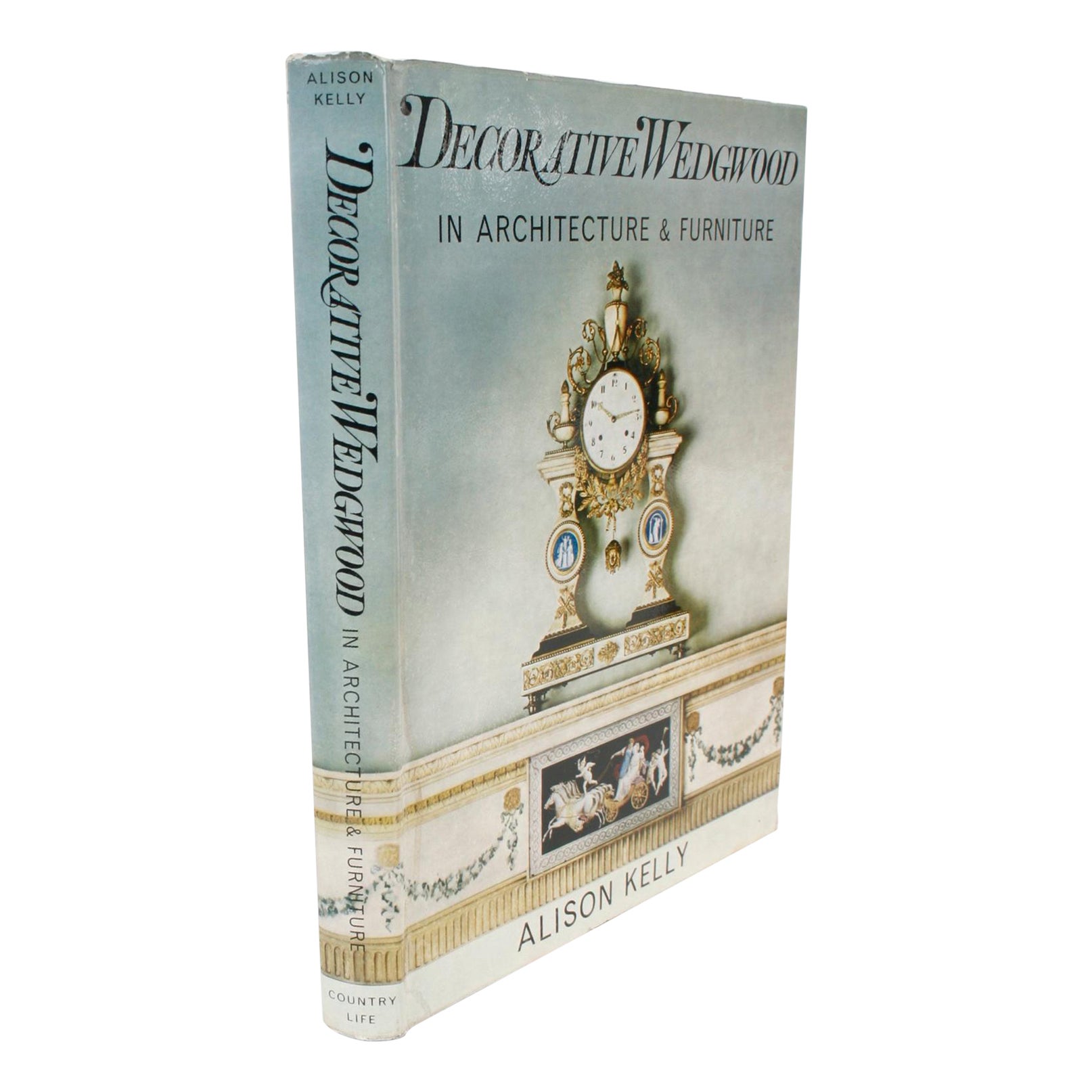
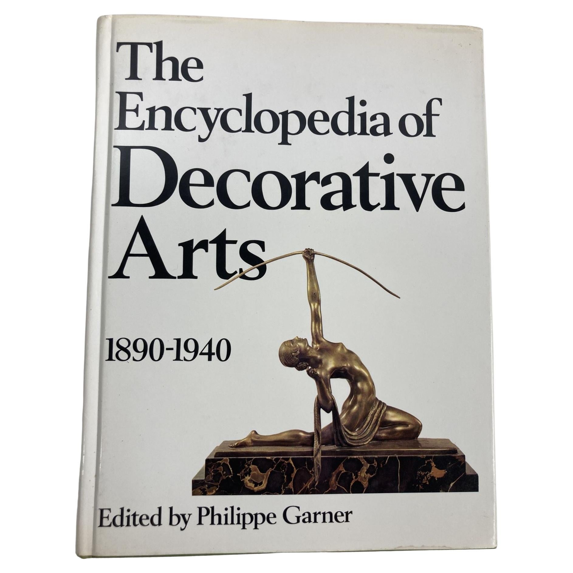
- Decorative Wedgwood by Alison Kelly, 1st EditionLocated in valatie, NYDecorative Wedgwood by Alison Kelly. Country Life Limited, 1965. 1st Edition hardcover with dust jacket. The book covers: Josiah Wedgwood and the Taste of His Time, Ideas for Interior Decoration, Chimney-Piece Designs, Jasper Chimney-Pieces, Wyatt, Holland & Cameron (architects), Fonts, Furnishing Details, Tiles and Dairies, Furniture Inset with Wedgwood Ware, the Victorian Revival. A study of Wedgwood's decorative production as it relates to the taste of the times in the applied arts. The author describes the whole range of Wedgwood's output in the field of interior decoration, from the basalt figures and wall plaques to the more esoteric fonts and funeral urns...Category
Vintage 1960s American Books
MaterialsPaper
- Encyclopedia of Decorative Arts, 1890-1940 1st Edition 1978Located in North Hollywood, CAThe Encyclopedia of Decorative Arts, 1890-1940. by Philippe Garner New York: Van Nostrand Reinhold, 1978. First Edition; First Printing. Hardcover. Book condition is very good; wi...Category
Late 20th Century American Art Deco Books
MaterialsPaper
- Large University Chart “Physical Map of Africa” by BaconLocated in Chillerton, Isle of WightLarge university chart “Physical Map of Africa” by Bacon W&A K Johnston’s Charts of Physical Maps By G W Bacon, This is colorful Physical map of North America, it is large lithograph set...Category
Early 20th Century Folk Art Posters
MaterialsLinen
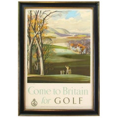
- "Come to Britain for Golf" Vintage Travel Poster, circa 1952By Rowland HilderLocated in Colorado Springs, COThis is a 1952 vintage golf travel poster, entitled Come to Britain for Golf by Rowland Hilder. The lithographic poster was published by the T...Category
Vintage 1950s British Posters
MaterialsPaper
- Large University Chart “Political Map of North America” by BaconLocated in Chillerton, Isle of WightLarge University Chart “Political Map of North America” by Bacon W&A K Johnston’s Charts of Physical Maps By G W Bacon, This is colourful Physical map ...Category
Early 20th Century American Empire Posters
MaterialsLinen


Recently Viewed
View AllMore Ways To Browse
Australia Vintage
The Vintage Map
School Chart
Australian Vintage Furniture
Map Australia
Maps Of Australia
Vintage Rush
Holland Utrecht
Vintage Furniture Utrecht
Dutch Rush
Vintage Collectables Australia
Vintage School Chart
Vintage Canvas Map
Retro Collectables Australia
Vintage Chart Map
Vintage Canvas Prints Australia
Antique Maps Germany
Antique Collectable Market