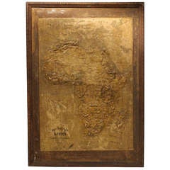
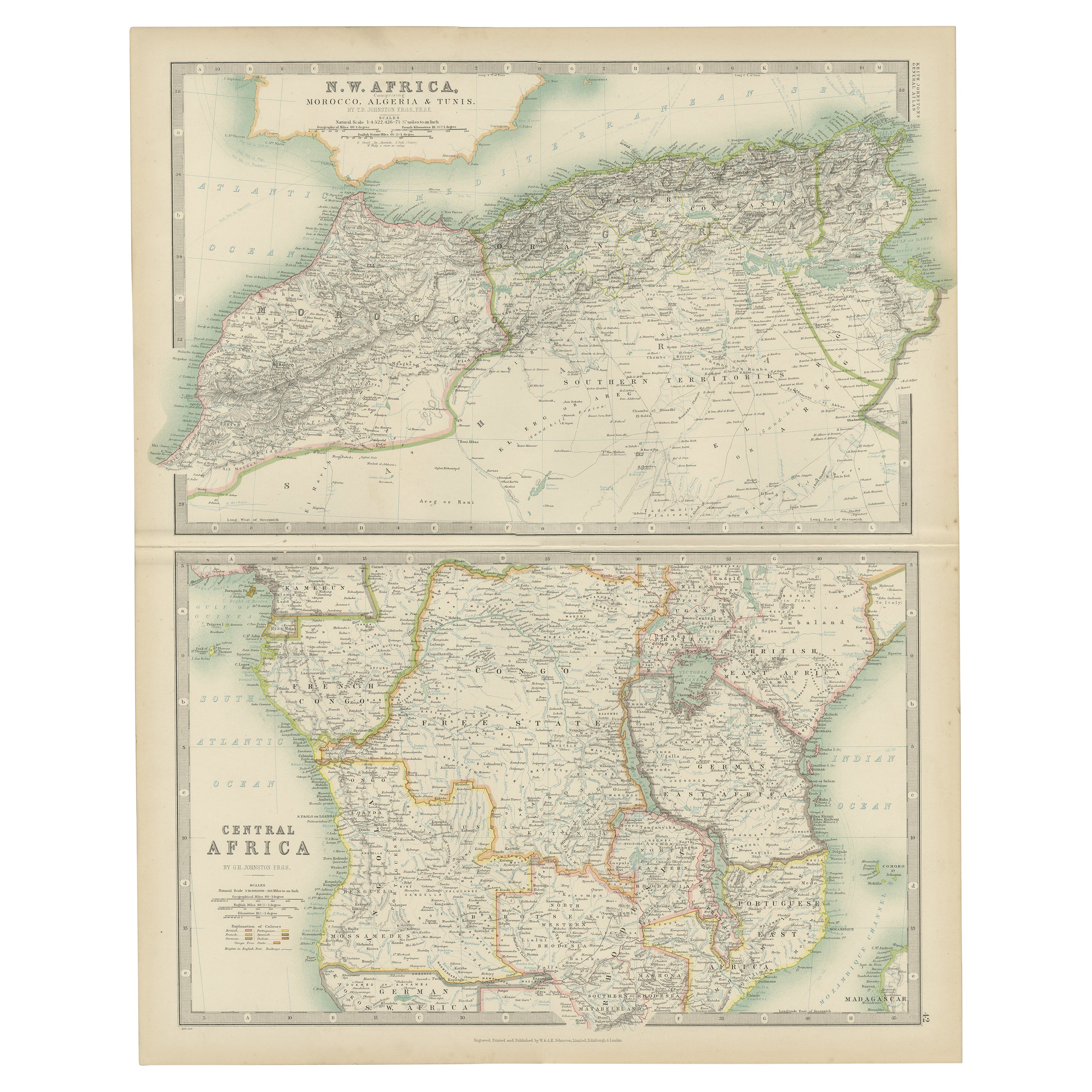
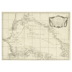
Large 1800's Raised Relief Map Of Africa
View Similar Items


1 of 2
Large 1800's Raised Relief Map Of Africa
About the Item
- Dimensions:Height: 47.75 in (121.29 cm)Width: 34 in (86.36 cm)
- Materials and Techniques:
- Place of Origin:
- Period:
- Date of Manufacture:1890
- Condition:Wear consistent with age and use.
- Seller Location:Chicago, IL
- Reference Number:1stDibs: LU92471021656
You May Also Like
- World Relief MapLocated in Antwerp, BELarge world relief map. Measures: Width 232 cm. Height 158 cm.Category
Mid-20th Century German Mid-Century Modern Maps
MaterialsAcrylic
 $1,993
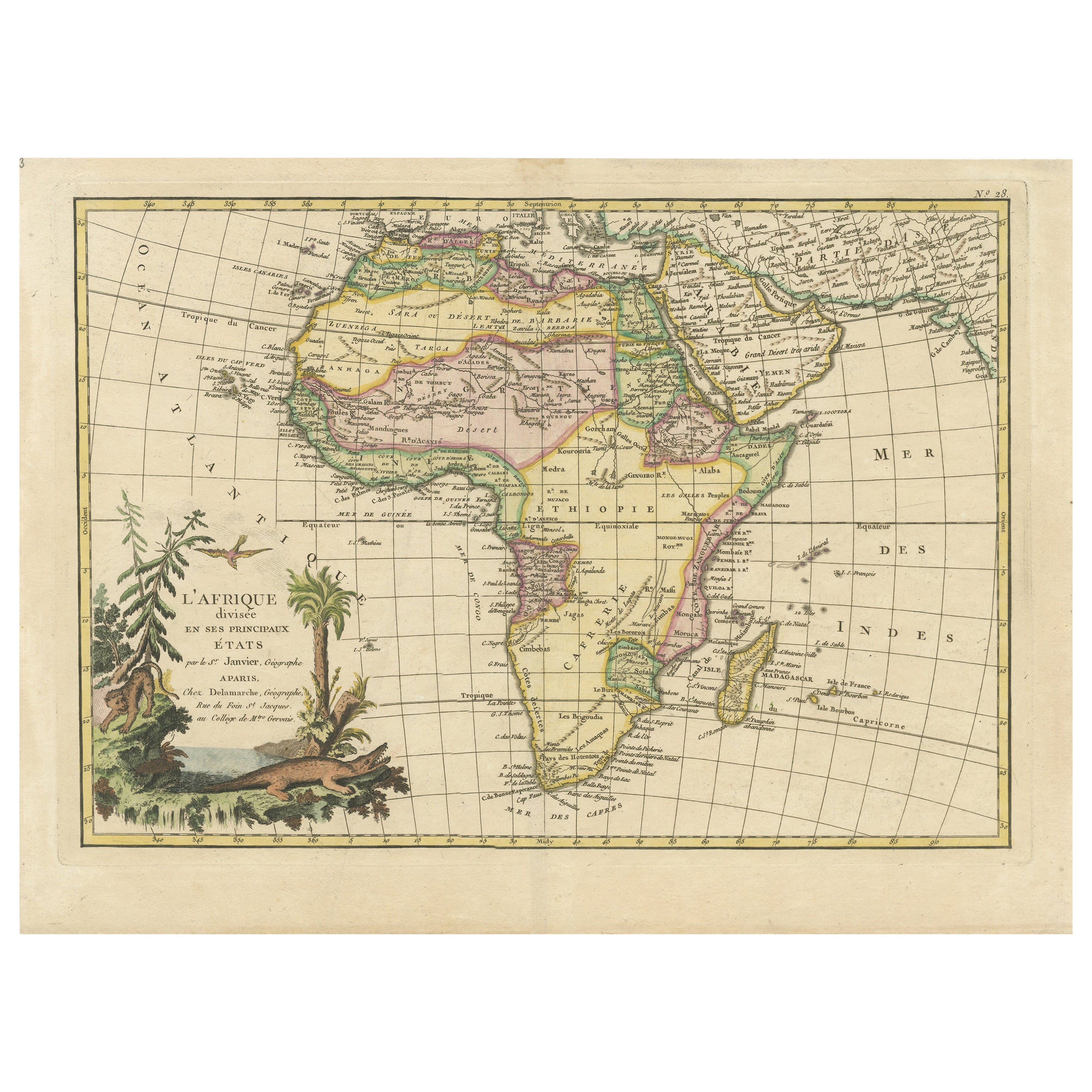
 - Original Antique Map of Africa with large decorative cartoucheLocated in Langweer, NLOriginal antique map titled 'L'Afrique divisée en ses principaux États'. Attractive and precise map of Africa, with large decorative cartouche. Engraved by Janvier. Published by Dela...Category
Antique Late 18th Century Maps
MaterialsPaper
- Large University Chart “Physical Map of Africa” by BaconLocated in Chillerton, Isle of WightLarge university chart “Physical Map of Africa” by Bacon W&A K Johnston’s Charts of Physical Maps By G W Bacon, This is colorful Physical map of North America, it is large lithograph set...Category
Early 20th Century Folk Art Posters
MaterialsLinen
- Original Antique Map of AfricaLocated in Langweer, NLAntique map titled 'Afrika'. Original antique map of Africa, drawn by Van Beusekom. Published by 'Seyffardt's Boekhandel' in Amsterdam, circa 1870.Category
Antique Late 19th Century Maps
MaterialsPaper
 $301 Sale Price20% Off
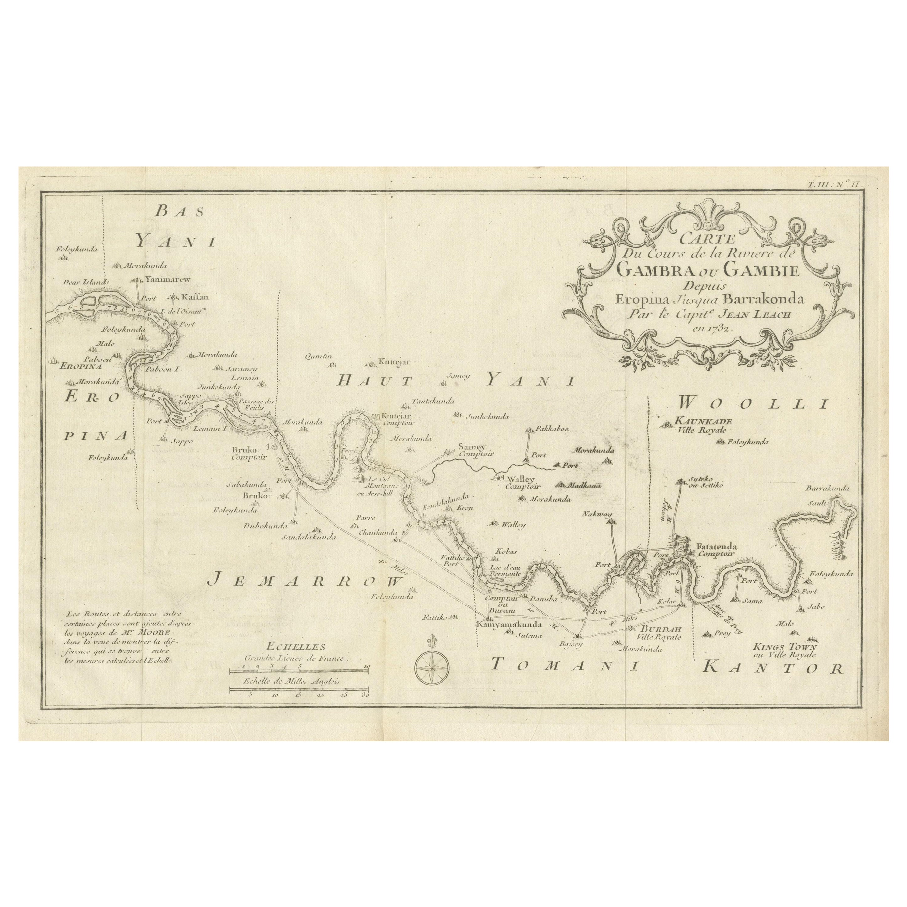
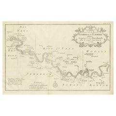
 - Antique Map of Gambia, West AfricaLocated in Langweer, NLAntique map titled 'Carte du Cours de la Riviere de Gambra ou Gambie (..)'. Detailed map of Gambia, West Africa, surrounded by Senegal with decorative title based on information supp...Category
Antique Mid-18th Century Maps
MaterialsPaper
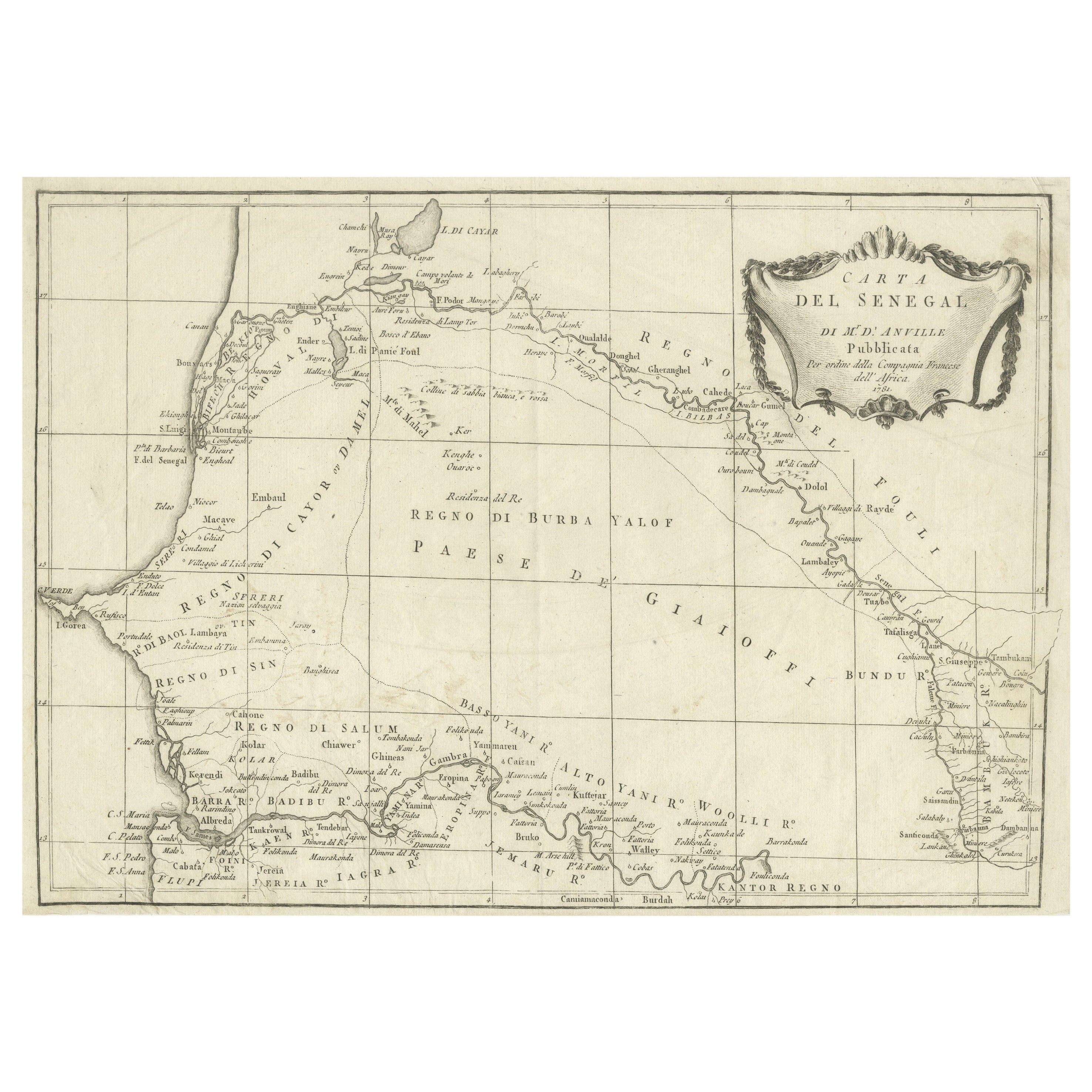
- Antique Map of Senegal, West AfricaLocated in Langweer, NLOriginal antique map titled 'Carta del Senegal'. Antique map of Senegal, West Africa. This map originates from 'Compendio della storia generale dei viaggi (..)'. Published by De la Harpe...Category
Antique Mid-18th Century Maps
MaterialsPaper


Recently Viewed
View AllMore Ways To Browse
Relief Map
Raised Relief Map
Antique Whimsical
Copper Collectables
Antique Atlas Map
Provence Antiques
Antique Maps Prints
Antique Map Prints
Antique Map Print
Antique Prints Maps
Antique Prints And Maps
Antique Maps And Prints
Map 19th Century
Antique Atlas Furniture
Antique Lined Paper
Map Of France
Large Maps
Large Map