Items Similar to Large Folding Map of Paris, France, on Linen, 36 Segments, Published in 1836

Want more images or videos?
Request additional images or videos from the seller
1 of 6
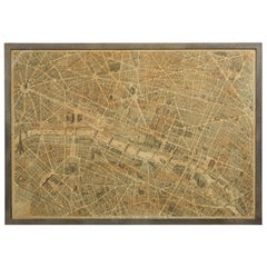
Large Folding Map of Paris, France, on Linen, 36 Segments, Published in 1836
About the Item
Antique map Paris titled 'Carte Topographique des Environs de Paris Nouvelle edition rectifié d'apres les travaux de la Nouvelle Carte De France'.
Folding map of Paris on linen, 36 segments.
Artists and Engravers: Published by J. Andriveau-Goujon, Paris, 1836.
- Dimensions:Height: 27.96 in (71 cm)Width: 39.77 in (101 cm)Depth: 0 in (0.02 mm)
- Materials and Techniques:
- Period:
- Date of Manufacture:1836
- Condition:Condition: Good, general age-related toning. Some segments a bit loose, please study image carefully.
- Seller Location:Langweer, NL
- Reference Number:
About the Seller
5.0
Platinum Seller
These expertly vetted sellers are 1stDibs' most experienced sellers and are rated highest by our customers.
Established in 2009
1stDibs seller since 2017
1,928 sales on 1stDibs
Typical response time: <1 hour
- ShippingRetrieving quote...Ships From: Langweer, Netherlands
- Return PolicyA return for this item may be initiated within 14 days of delivery.
More From This SellerView All
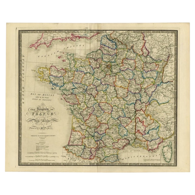
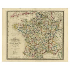
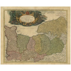
- Antique Map of France according to the Treaty of Paris '1815', Published in 1854Located in Langweer, NLAntique map titled 'The Kingdom of France, describing the new limits according to the treaty of Paris. (1815)'. Large map of France. From James Wyld's 'A New General Atlas of Modern ...Category
Antique 19th Century Maps
MaterialsPaper
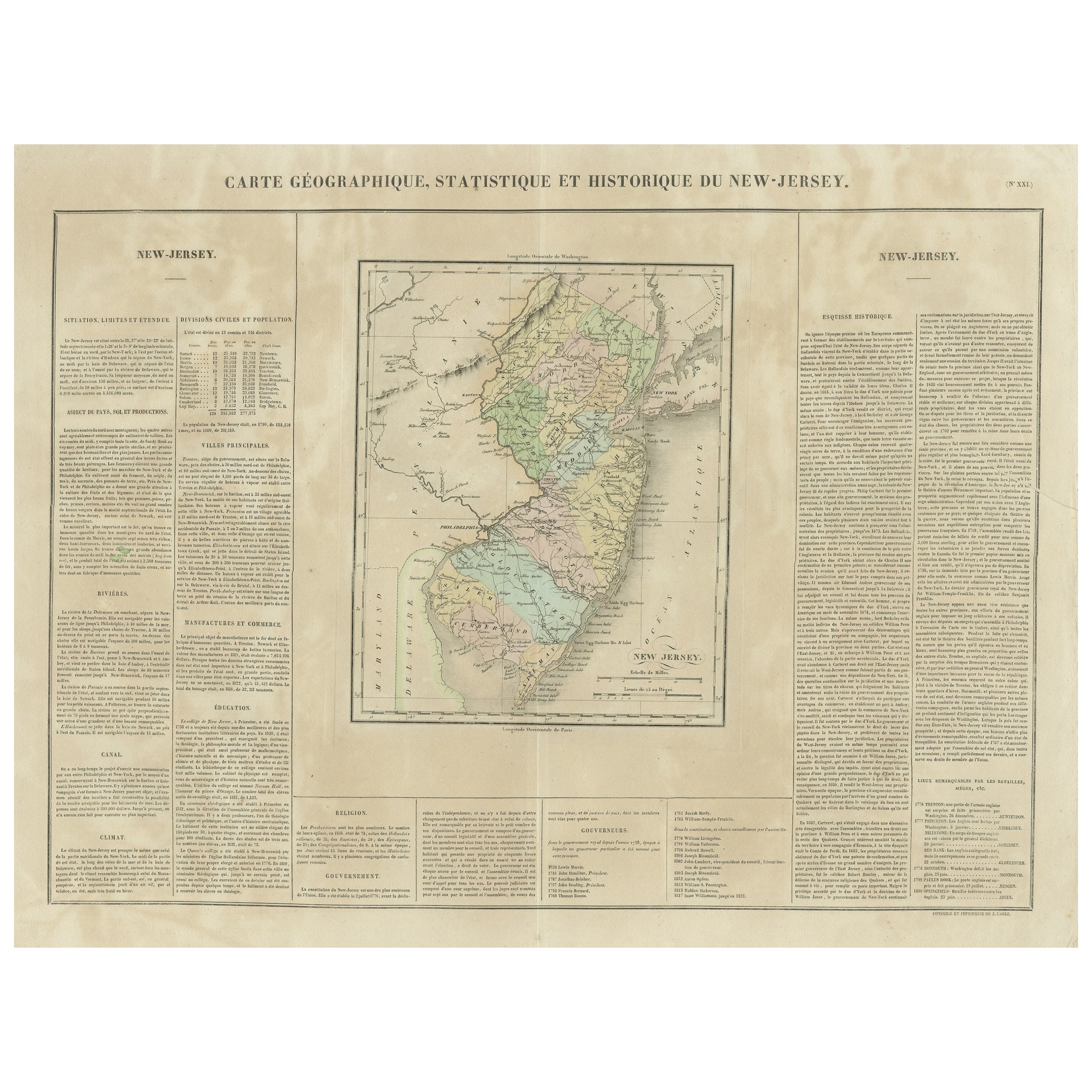
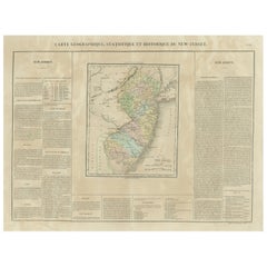
- Original Antique Map of the State of New Jersey Published in FranceLocated in Langweer, NLOriginal antique map titled 'Carte Géographique Statistique et Historique du New-Jersey'. One of the earliest obtainable maps of the State of New Jersey published outside of the Unit...Category
Antique Early 19th Century Maps
MaterialsPaper
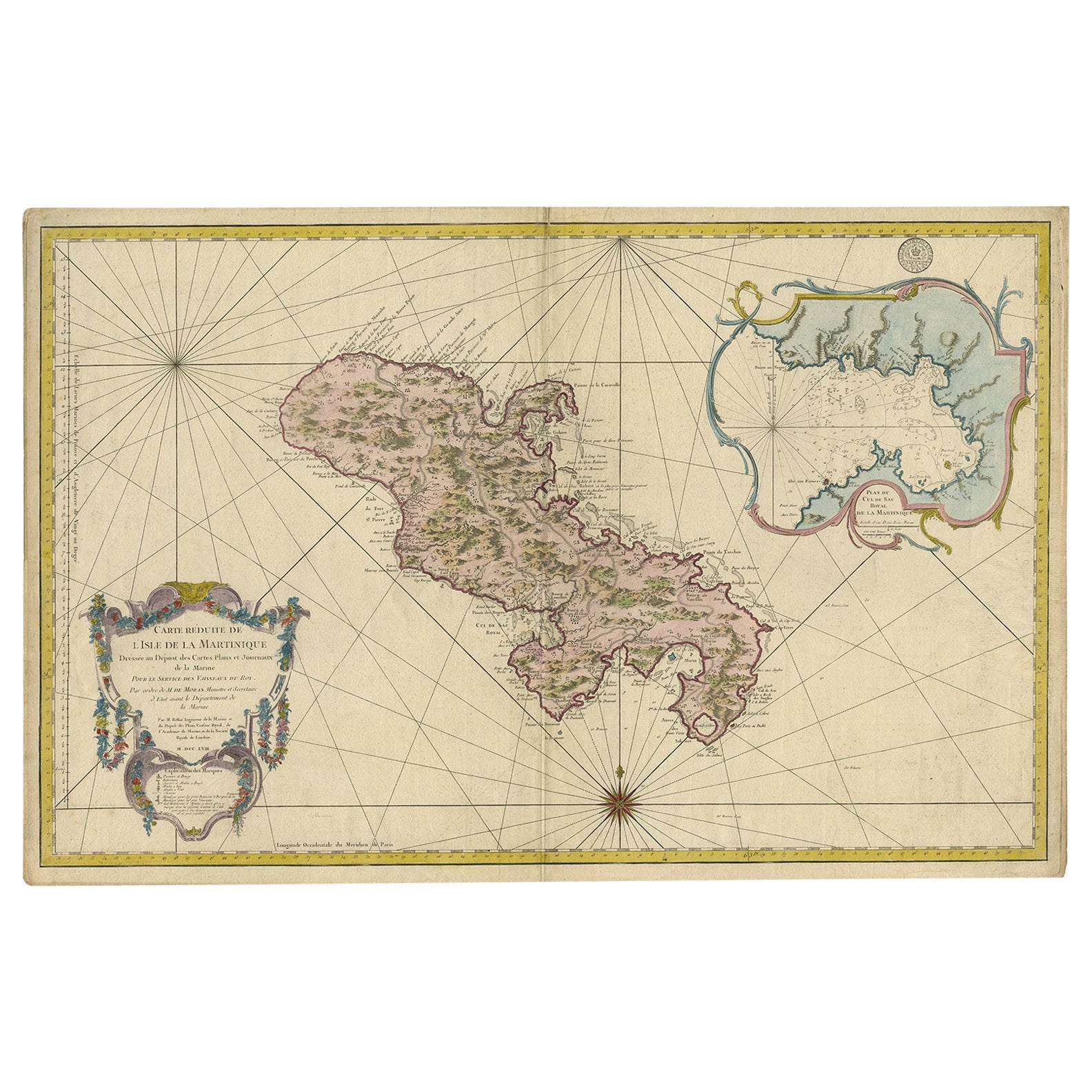
- Stunning Large Scale Antique Map of Martinique, Rare, Published 1758Located in Langweer, NLAntique map titled 'Carte Reduite de l'Isle de la Martinique Dressee au Depost des Cartes Plans et Journaux de la Marine.' Superb, large scale chart of ...Category
Antique 18th Century Maps
MaterialsPaper
- Original Antique Map of Southern Asia, Published in 1833Located in Langweer, NLAntique map titled 'Carte de l'Inde'. Detailed map extending from India in the west to Vietnam and the Malay Peninsula in the east. This map originates from 'Atlas universel de geogr...Category
Antique Mid-19th Century Maps
MaterialsPaper
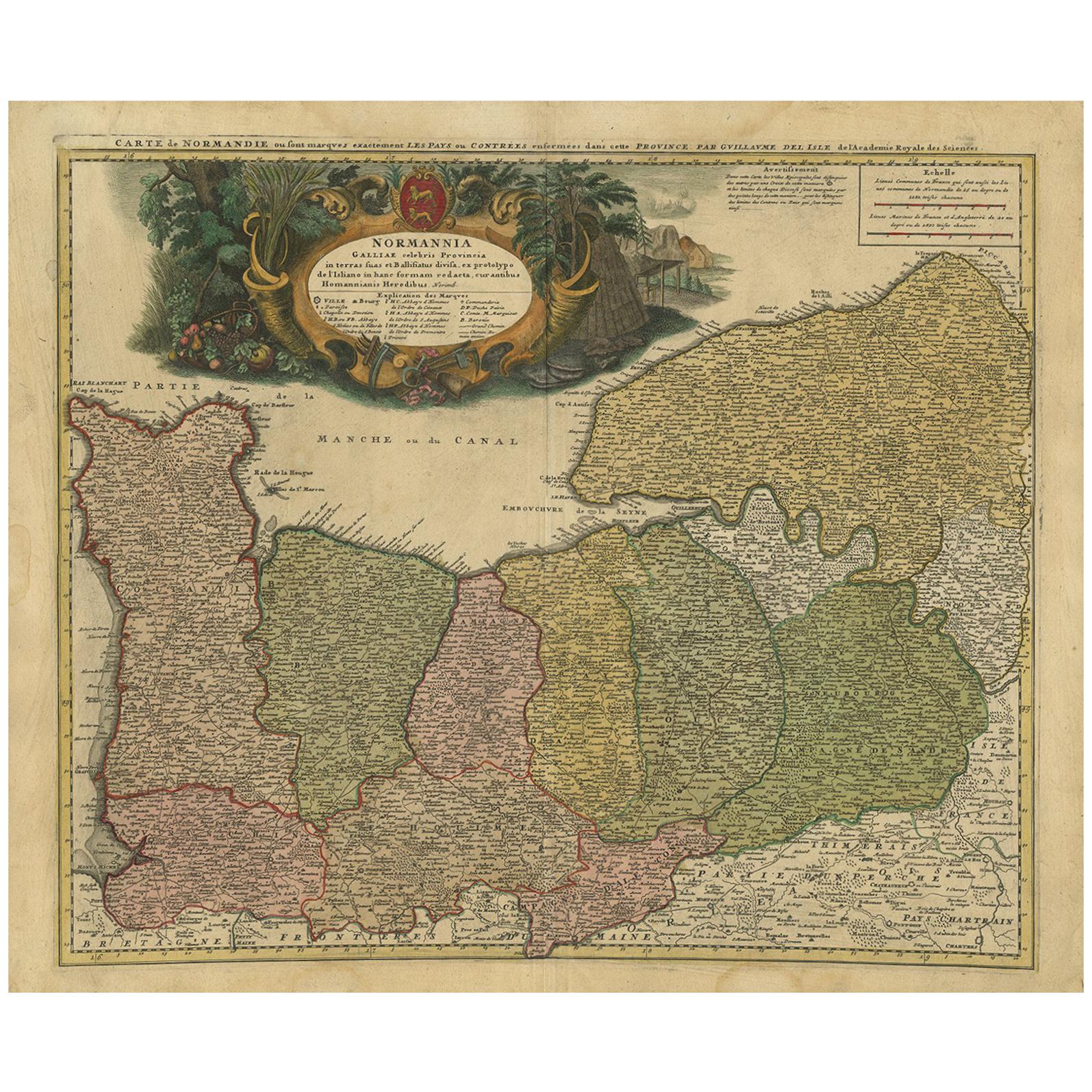
- Antique Map Normandy 'France' by Homann Heirs, Published in c.1740By Homann HeirsLocated in Langweer, NLAntique map France titled 'Normannia Galliae celebris Provincia in terras suas Ballisiatus (..)'. Decorative regional map of Normandy, France, circa ...Category
Antique Mid-18th Century German Maps
MaterialsPaper
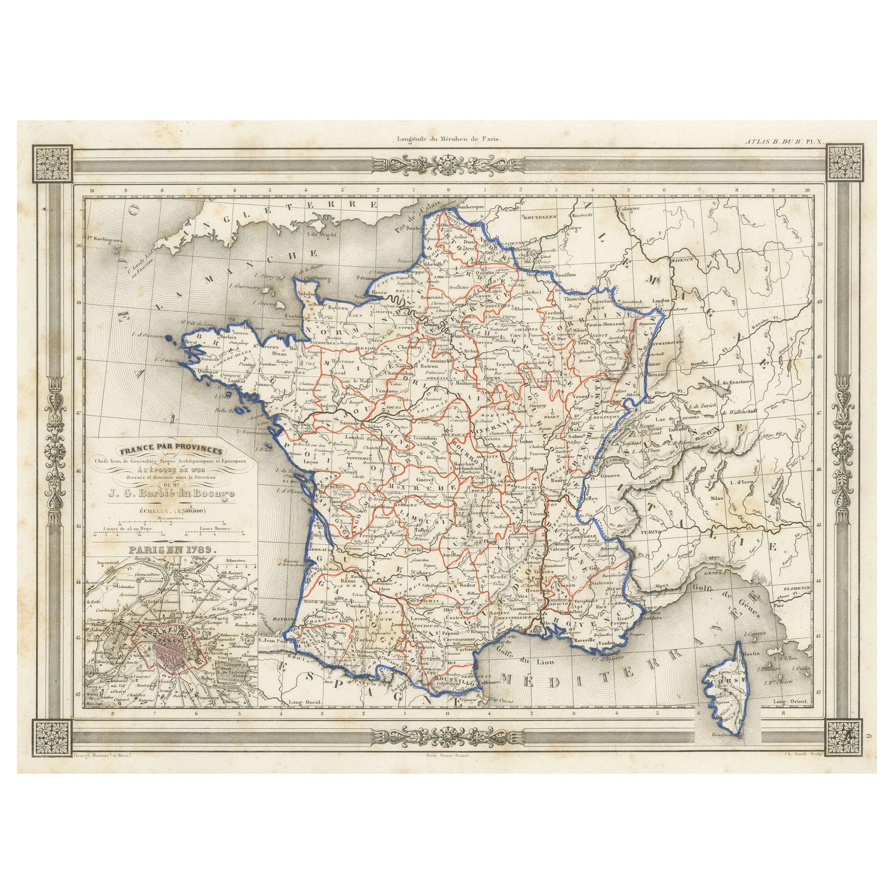
- Antique Map of France in Provinces, with Inset of ParisLocated in Langweer, NLAntique map titled 'France par Provinces'. Original antique map of France in Provinces. It covers from the Flanders in the north to Roussillon in the south and from Brittany in the w...Category
Antique Mid-19th Century Maps
MaterialsPaper


You May Also Like
- French 1930s Map of Paris à Vol d'Oiseau under Glass in Custom Iron FrameLocated in Atlanta, GAA French map of Paris from the early 20th century, with custom iron frame. Created in Paris during the second quarter of the 20th century, this map of Paris à vol d'oiseau (as the Cr...Category
Early 20th Century French Prints
MaterialsIron
- Antique Map of Paris, "Carte Routiere des Environs de Paris" 1841Located in Colorado Springs, COThis beautiful hand-colored road map of Paris was published in 1841. The map shows Paris and the surrounding area in a folding pocket map. Organized and detailed for travelers, this ...Category
Antique 1840s French Maps
MaterialsPaper
- Large Antique 1859 Map of North AmericaLocated in Sag Harbor, NYThis Map was made by Augustus Mitchell in 1859 It is in amazing condition for being 163 years old. This price is for the rolled up easy to ship version of this piece. I will be Frami...Category
Antique Mid-19th Century American Maps
MaterialsCanvas, Paper

- Original Antique Map of France, Arrowsmith, 1820Located in St Annes, LancashireGreat map of France Drawn under the direction of Arrowsmith. Copper-plate engraving. Published by Longman, Hurst, Rees, Orme and Brown, 1820 Unframed.Category
Antique 1820s English Maps
MaterialsPaper
- Vintage "View of the Center of Paris Taken from the Air" Lithograph MapLocated in San Diego, CAA very stylish "View of the Center of Paris Taken from the Air" lithograph map published by the Paris Ministry of Tourism, circa early 1950s. The piece measures 27" x 43" and shows...Category
20th Century French Mid-Century Modern Prints
MaterialsPaper
- Large French Paris Metro Map 1960sLocated in North Hollywood, CALarge French Paris Metro Map 1960s. A large Vintage French framed map of the Parisian Metro from the mid-20th century. Featuring a Paris metro map from the midcentury period showing ...Category
Mid-20th Century French Industrial Prints
MaterialsWood, Paper


Recently Viewed
View AllMore Ways To Browse
French Folding
French Antique Linens
French Antique Linen
Antique French Linen
Antique French Linens
Antique French Linen Linens
1836 Antiques
Carte Paris
Antique Linen Map
Large Antique Map Of Paris
Large Maps Of Paris
18th Century Southern Antiques
Antique French Globe
Antique Furniture South Africa
South African Antique Furniture
Used Bookseller
Used Booksellers
Antique British Maps