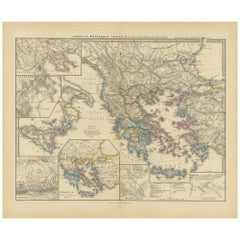
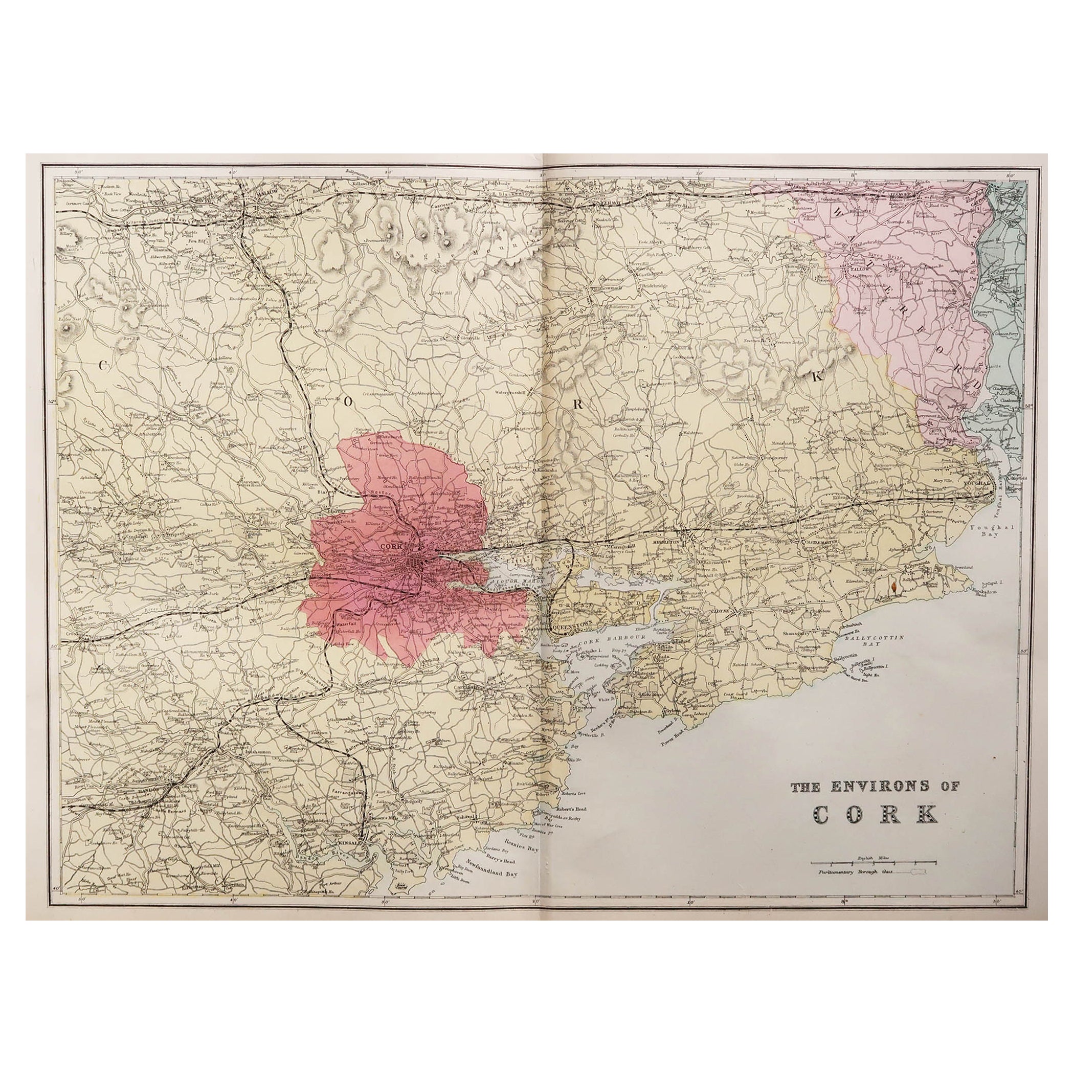
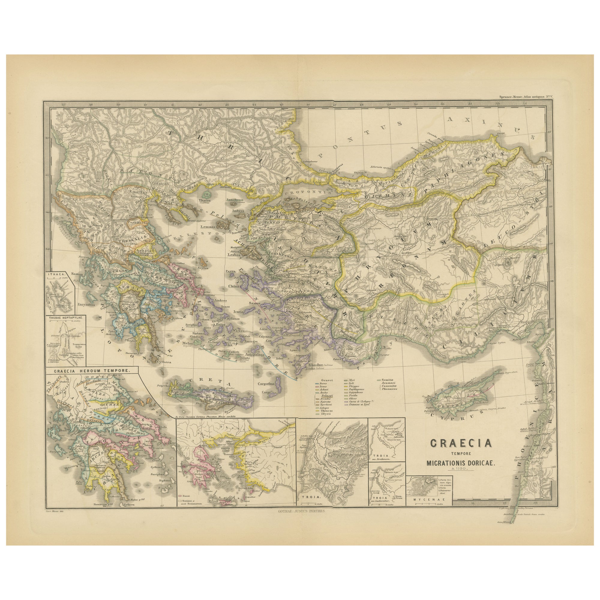
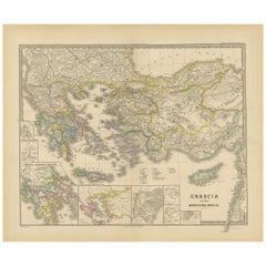
Map of Greece, Macedonia, Thrace from the time of the Peloponnesian War, 1880
View Similar Items


Want more images or videos?
Request additional images or videos from the seller
1 of 10
Auction endedBrowse Current Auctions
Map of Greece, Macedonia, Thrace from the time of the Peloponnesian War, 1880
About the Item
- Dimensions:Height: 15.56 in (39.5 cm)Width: 18.51 in (47 cm)Depth: 0 in (0.02 mm)
- Materials and Techniques:
- Period:
- Date of Manufacture:1880
- Condition:Good, given age. General age-related toning, especially around the edges. vertical folding line as issued. Please study scan carefully.
- Seller Location:Langweer, NL
- Reference Number:Seller: BG-13686-2-251stDibs: LU3054338557762
About the Seller
5.0
Platinum Seller
These expertly vetted sellers are 1stDibs' most experienced sellers and are rated highest by our customers.
Established in 2009
1stDibs seller since 2017
1,947 sales on 1stDibs
More From This SellerView All
- Antique Map of Greece and Macedonia, 1848Located in Langweer, NLAntique map titled 'Graecia Epirus Macedonia Moesia Thracia'. Old map of Greece originating from 'Orbis Terrarum Antiquus in usum Scholarum'. Artists and Engravers: Published by Just...Category
Antique 19th Century Maps
MaterialsPaper
- Antique Map of Greece and Macedonia, 1825Located in Langweer, NLAntique map titled 'Graecia, Macedonia Thracia et Jllyricum'. Old map of Greece and Macedonia originating from 'Atlas der Oude Wereld'. Artists and Engravers: Published by C. Ph. Fun...Category
Antique 19th Century Maps
MaterialsPaper
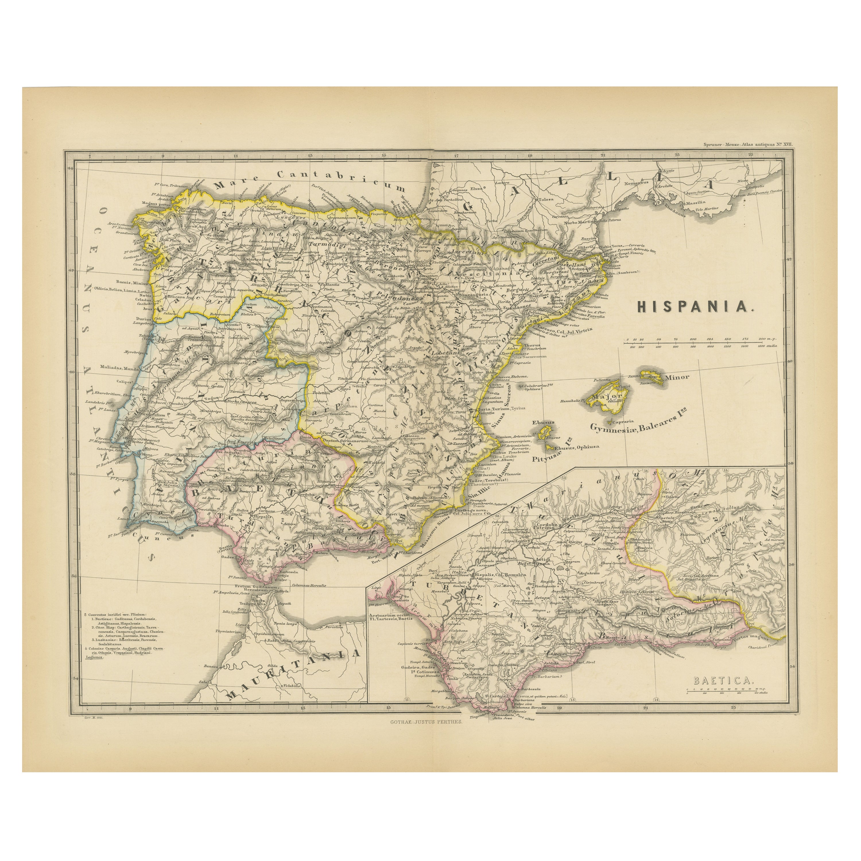
- Original Map of Greece at the Time of the Dorian Migration, Published in 1880Located in Langweer, NLThe map titled "GRAECIA TEMPORI MIGRATIONIS DORICAE," translates to "Greece at the Time of the Dorian Migration." This map showcases the regions of ancient Greece during the period f...Category
Antique 1880s Maps
MaterialsPaper
- Large Scale Map of Greece with Inset Map of Macedonia, c.1786Located in Langweer, NLAntique map titled 'Graeciae Antiquae'. Large scale map of Greece, extends south to the island of Cythera. Inset map shows details of Macedonia. Publis...Category
Antique 18th Century Maps
MaterialsPaper
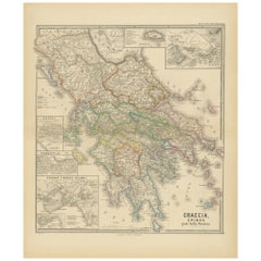
- Original Antique Map of Greece and Epirus after the Persian Wars, Published 1880Located in Langweer, NLThe map titled "GRAECIA, EPIRUS post bella Persica," translates to "Greece and Epirus after the Persian Wars." It covers the regions of ancient Greece and Epirus following the Greco-Persian Wars, a series of conflicts between the Greek city-states and the Persian Empire during the 5th century BC. What makes this map interesting: 1. **Historical Context**: The period after the Persian Wars was pivotal for ancient Greece, leading to the rise of Athens as a major power and the Golden Age of Athens. 2. **Inset Maps**: Detailed insets, such as the one showing the Acropolis of Athens, provide close-up views of historically significant locations. 3. **Topography**: It features the diverse terrain of Greece, from the rugged mountain ranges to the intricate coastlines and islands, influencing the development of Greek city-states. 4. **City-States**: The map likely details the various polis or city-states, such as Athens, Sparta, Thebes, and others, which played critical roles in the Persian Wars. 5. **Battle Sites**: It might mark important battle sites from the wars, like Marathon, Thermopylae, Salamis, and Plataea. 6. **Latin Labels**: The use of Latin for place names and descriptions adds to the map's scholarly quality. 7. **Cultural Landmarks**: The map may include locations of significant cultural and historical landmarks from the era, such as temples, theatres, and agoras. This map is from the "Spruner-Menke Atlas Antiquus," compiled by Karl Spruner von Merz and edited by Theodorus Menke. The atlas, known for its detailed maps of historical and ancient geographies, was a significant educational tool in the 19th century. The Greco-Persian Wars, which included famous battles such as Marathon and Salamis, were crucial for the preservation of Greek independence...Category
Antique 1880s Maps
MaterialsPaper
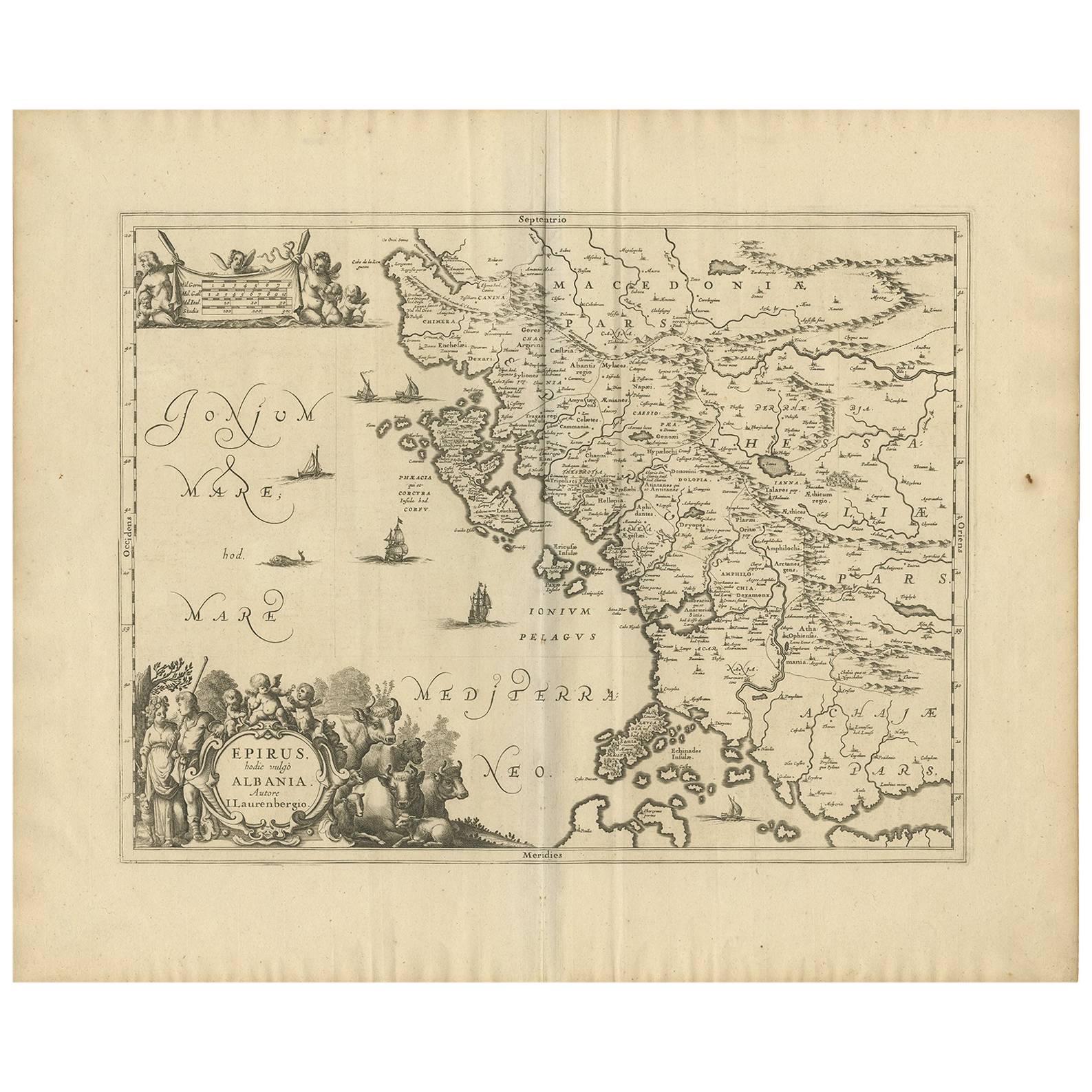
- Antique Map of Macedonia, Northern Greece and part of Turkey in EuropeLocated in Langweer, NLAntique map titled 'Macedonia Epirus et Achaia'. Original old map of Macedonia, northern Greece, and part of Turkey in Europe. Published by W.J. Blaeu, circa 1640. Willem Janszoon ...Category
Antique Mid-17th Century Maps
MaterialsPaper
 $703 Sale Price20% Off


You May Also Like
- 1880s Map of The Italian Alps from Milan to Lake GardaLocated in Roma, ITGeographical Map of the Profile and Elevation of the Italian Alps from Milano to Lake Garda. The map features the name of each peak and key cities including Monza, Brescia and Bergam...Category
Antique 1880s Italian Maps
MaterialsParchment Paper
- War of the WorldsLocated in London, GBOriginal British front of house card for The War of the Worlds 1953 it was used inside the foyer of the cinema. This artwork featuring the invading spacecraft is the best card from the set of 8. The film is one of the most famous science fiction films ever made. It was directed by Byron Haskin and starred Gene Barry, Ann Robinson...Category
Vintage 1950s British Posters
MaterialsPaint
 $970 Sale Price20% Off
 - The Holy Land at the Time of Jesus: A 17th Century Dutch Map by VisscherBy Nicolaes Visscher IILocated in Alamo, CAThis detailed Dutch map entitled "Het Beloofe de Landt Canaan door wandelt van onsen Salichmaecker Iesu Christo, nessens syne Apostelen" by Nicolaes Visscher was published in Amsterd...Category
Antique Mid-17th Century Dutch Maps
MaterialsPaper
- Vintage "View of the Center of Paris Taken from the Air" Lithograph MapLocated in San Diego, CAA very stylish "View of the Center of Paris Taken from the Air" lithograph map published by the Paris Ministry of Tourism, circa early 1950s. The piece measures 27" x 43" and shows...Category
20th Century French Mid-Century Modern Prints
MaterialsPaper
 $680 Sale Price20% Off
 - Hand-Colored 18th Century Homann Map of the Danube, Italy, Greece, CroatiaBy Johann Baptist HomannLocated in Alamo, CA"Fluviorum in Europa principis Danubii" is a hand colored map of the region about the Danube river created by Johann Baptist Homann (1663-1724) in his 'Atlas Novus Terrarum', publish...Category
Antique Early 18th Century German Maps
MaterialsPaper
- New Map of North America from the Latest Discoveries, 1763Located in Philadelphia, PAA fine antique 18th century map of the North American seaboard. Entitled "A New Map of North America from the Latest Discoveries 1763". By the Cartographer/Engraver - John Spil...Category
Antique Mid-18th Century English Georgian Maps
MaterialsPaper


