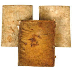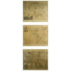
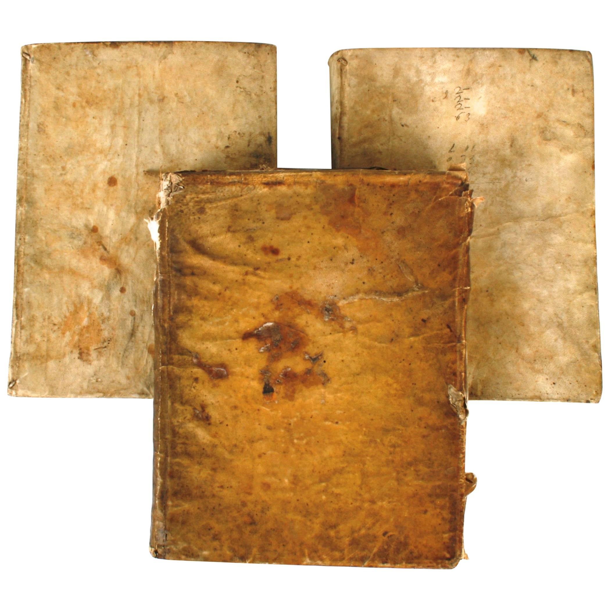
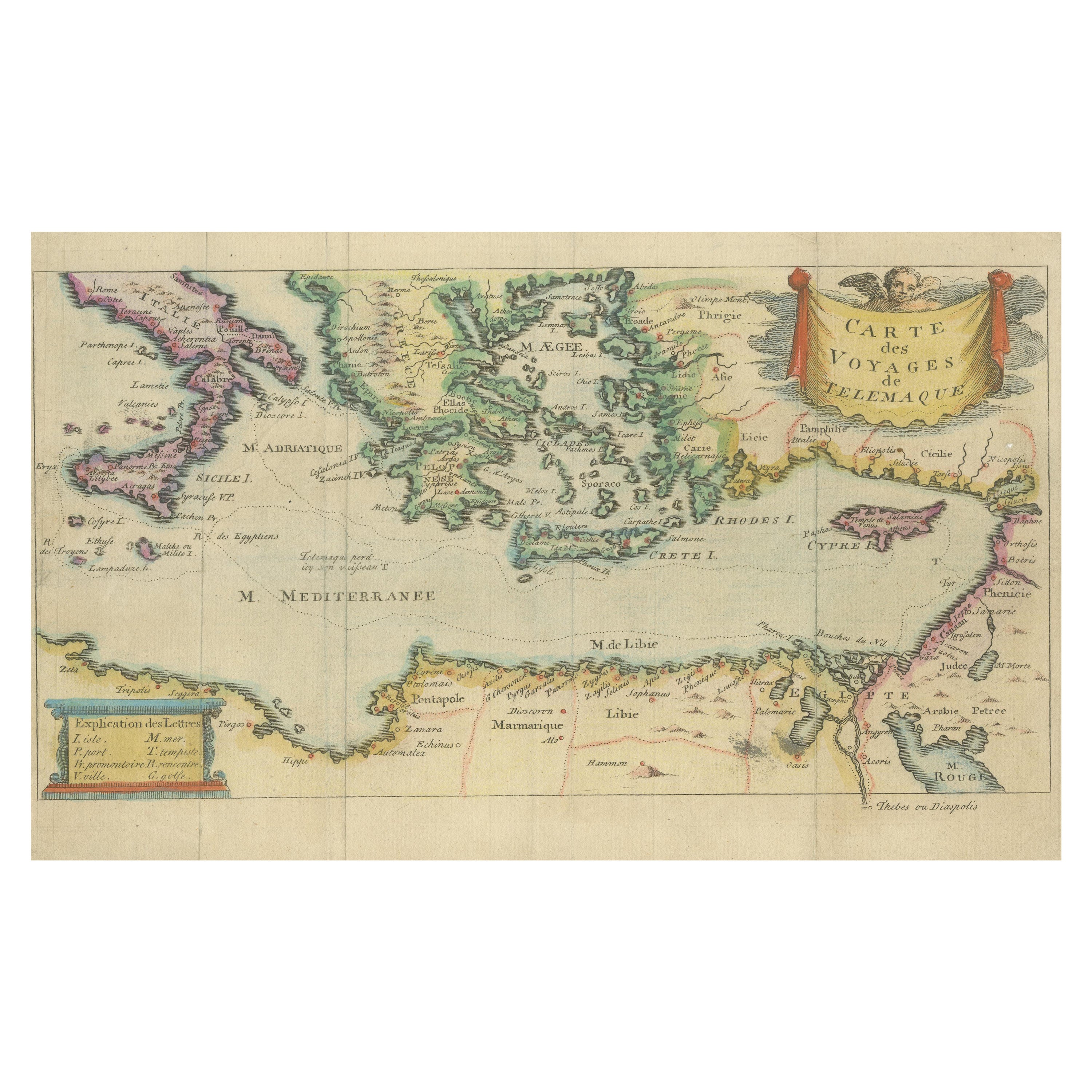
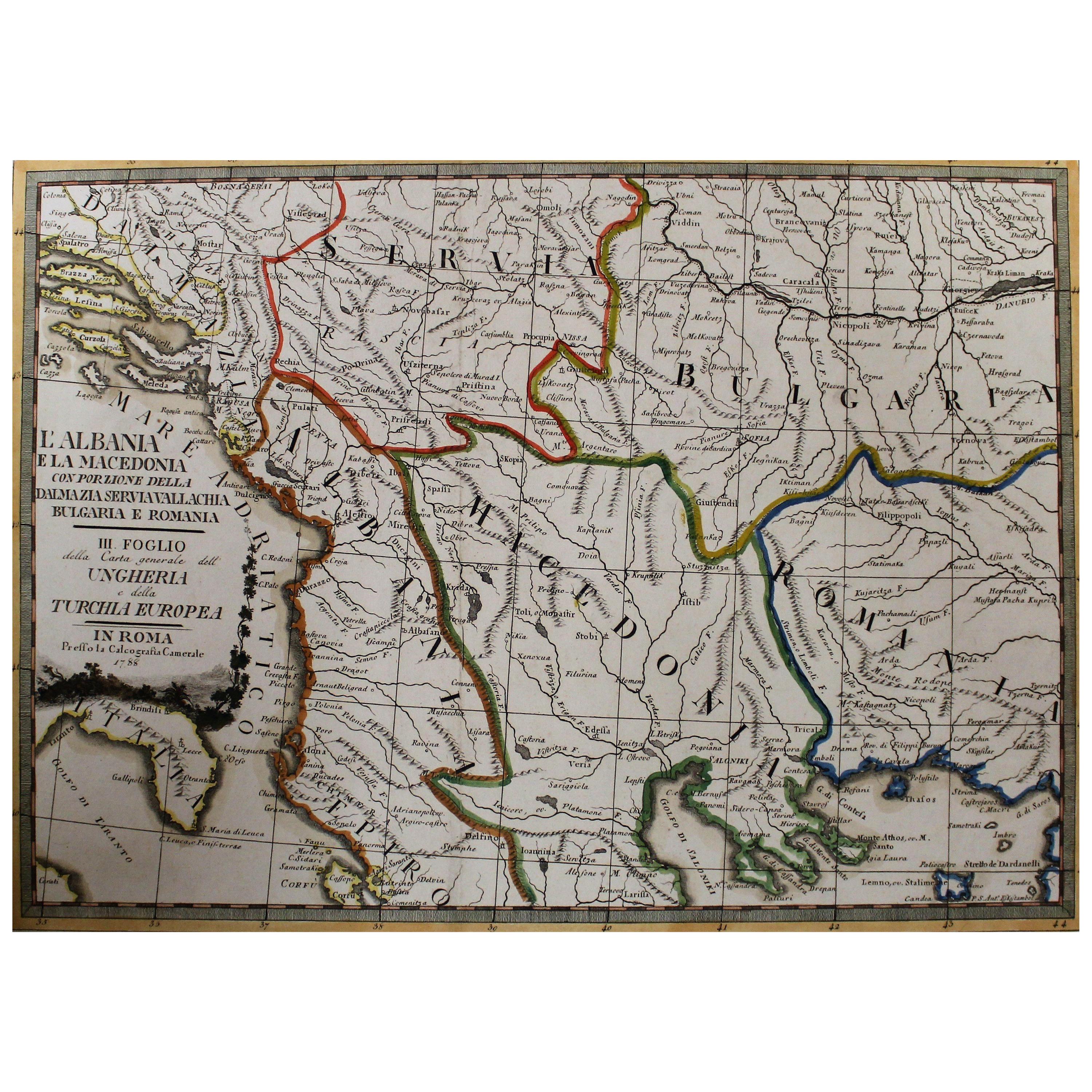
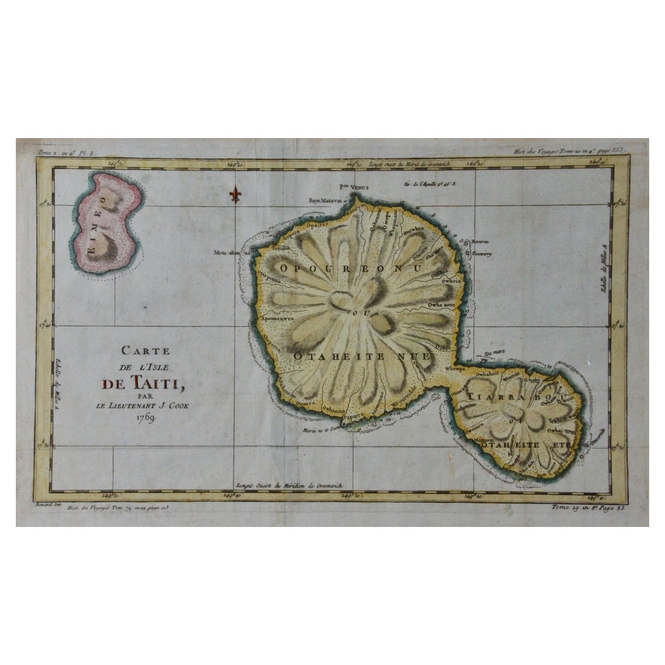
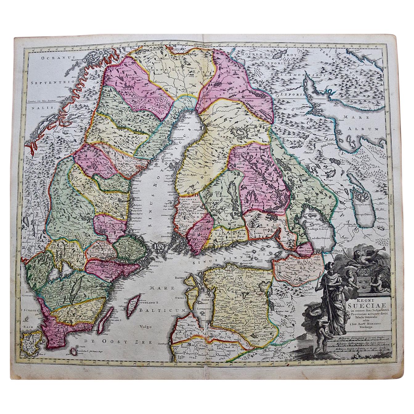
Set of Three 18th c. Maps
View Similar Items


1 of 5
Set of Three 18th c. Maps
About the Item
- Dimensions:Height: 22.25 in (56.52 cm)Width: 26.25 in (66.68 cm)Depth: 1 in (2.54 cm)
- Sold As:Set of 3
- Place of Origin:
- Period:
- Date of Manufacture:1700-1800
- Condition:Wear consistent with age and use.
- Seller Location:Houston, TX
- Reference Number:Seller: 5778-2021stDibs: LU84701193420
You May Also Like
- Set of Three 18th Century Vellum Sunday Sermon BooksBy Vivien, R.P. Michael, Alfonso Maria De LiguoriLocated in valatie, NYSet of Three 18th Century Vellum Sunday Sermon Books. 1.) Sermoni Per Tutte Le Domeniche Dell' Anno (Sermons for all the Sundays in a Year) by Monsignore Alfonso Maria De Liguori. Na...Category
Antique 18th Century Italian Books
MaterialsPaper, Animal Skin
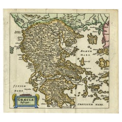
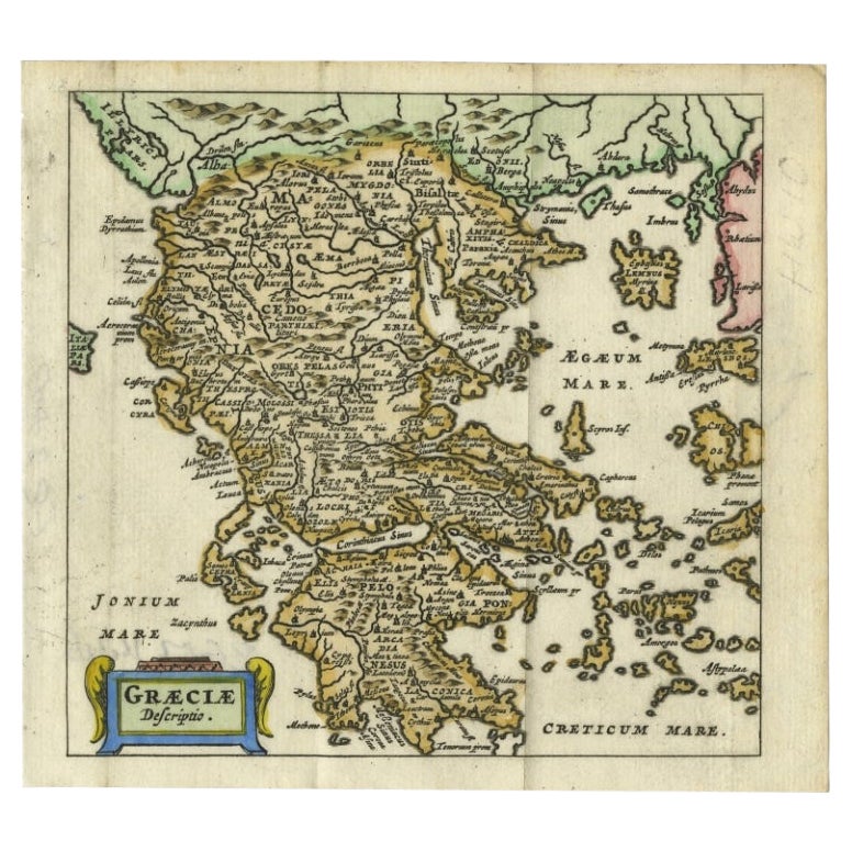
- Charming 18th Century Miniature Map of Greece, 1685Located in Langweer, NLAntique map titled 'Graeciae Descriptio.' Charming miniature map of Greece from the pocket atlas 'Introductionis in Universam Geographiam tam Veterem qu...Category
Antique 17th Century Maps
MaterialsPaper
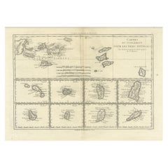
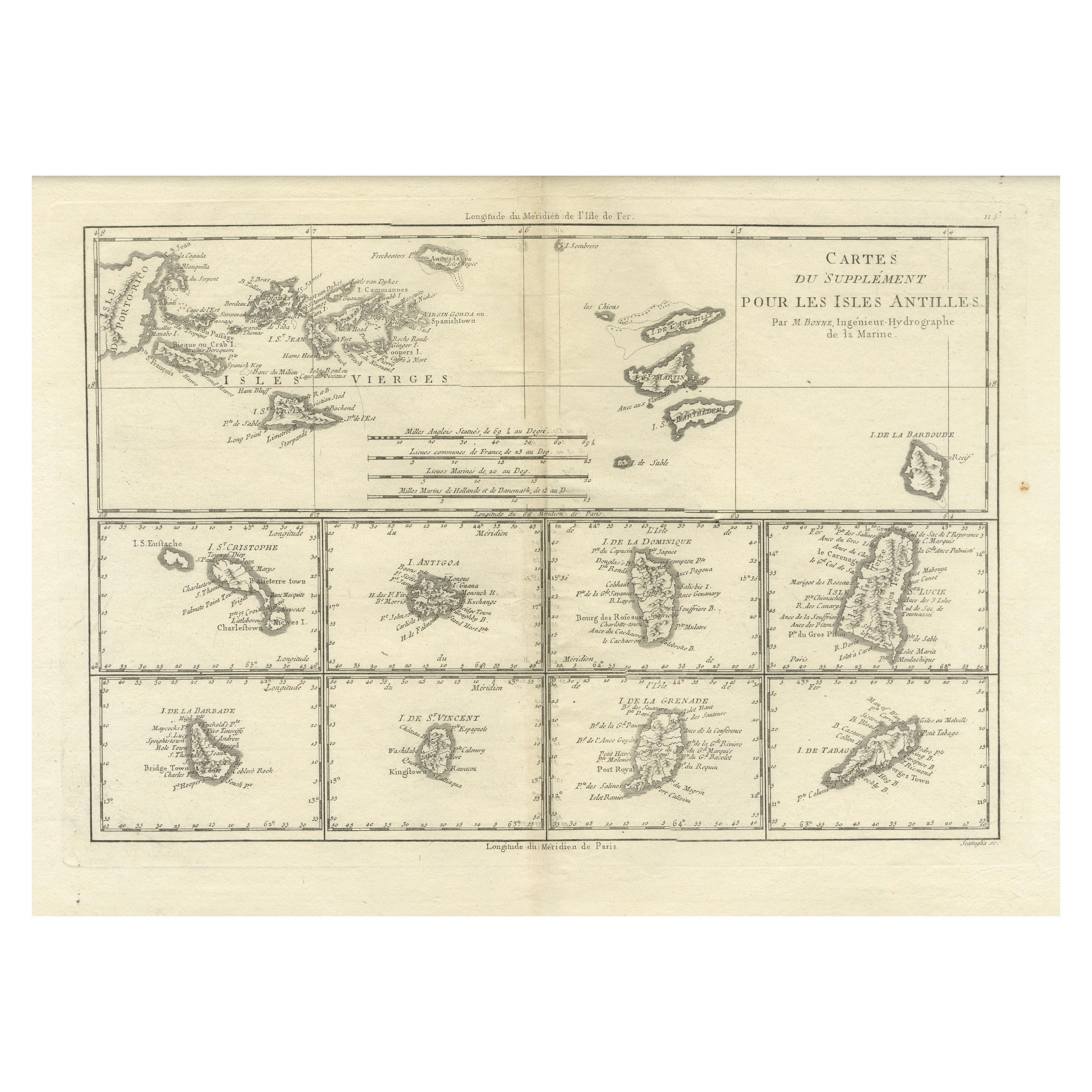
- 18th Century Antique Map of the Virgin Islands and Caribbean Inset MapsLocated in Langweer, NLA fascinating piece of cartographic history! The map, titled "Carte du supplément pour les Isles Antilles," featuring inset maps of various islands in the Caribbean, is from the "Atl...Category
Antique Late 18th Century Maps
MaterialsPaper
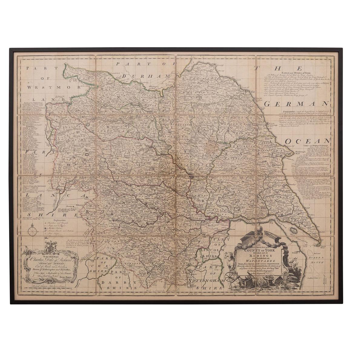
- 18th Century Emanuel Bowen Map of County of York, c.1740By Emanuel BowenLocated in Royal Tunbridge Wells, KentAntique 18th century British rare and original Emanuel Bowen (1694-1767) map of the County of York divided into its Ridings and subdivided into wapontakes, mounted in solid wood fram...Category
Antique Early 18th Century British Maps
MaterialsPaper

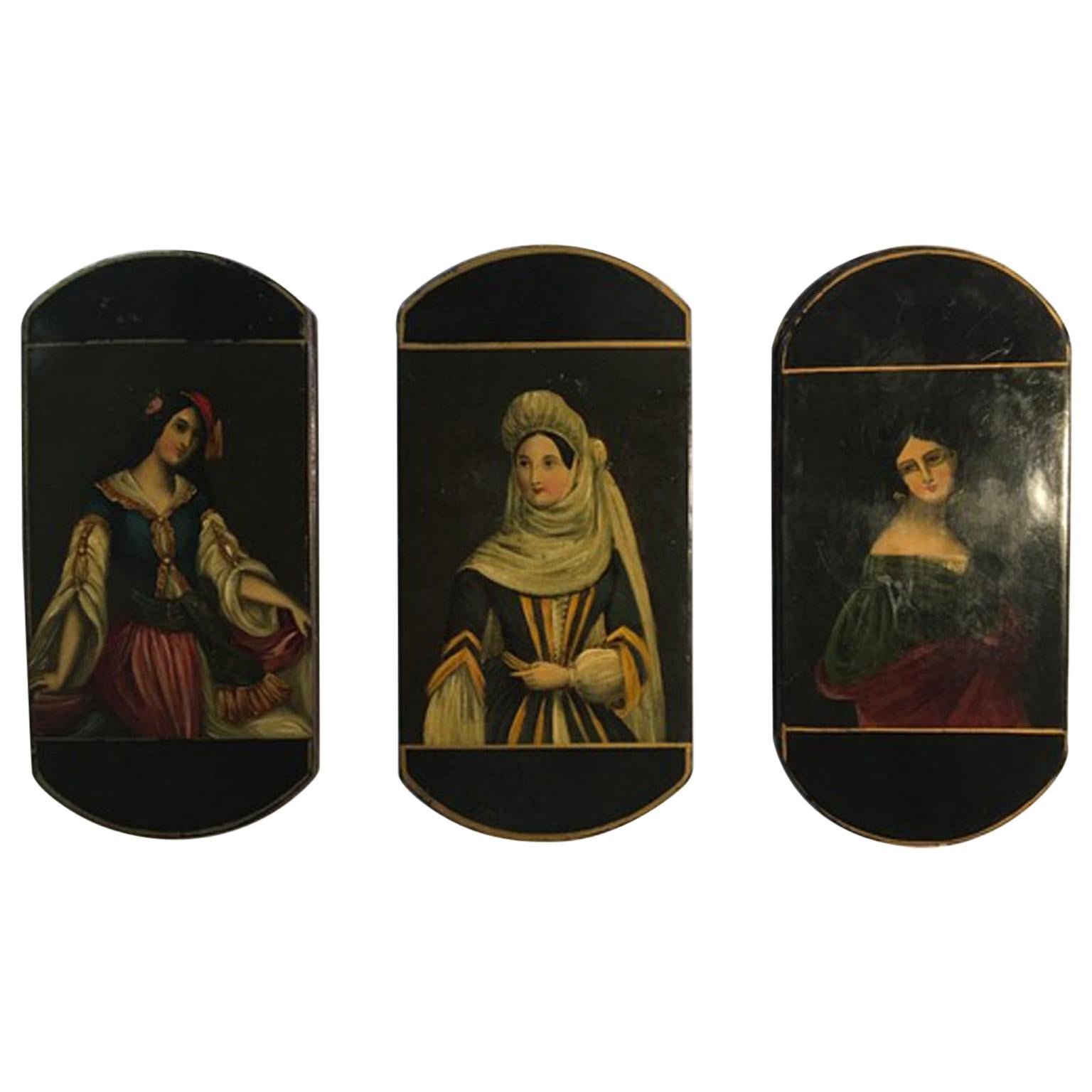
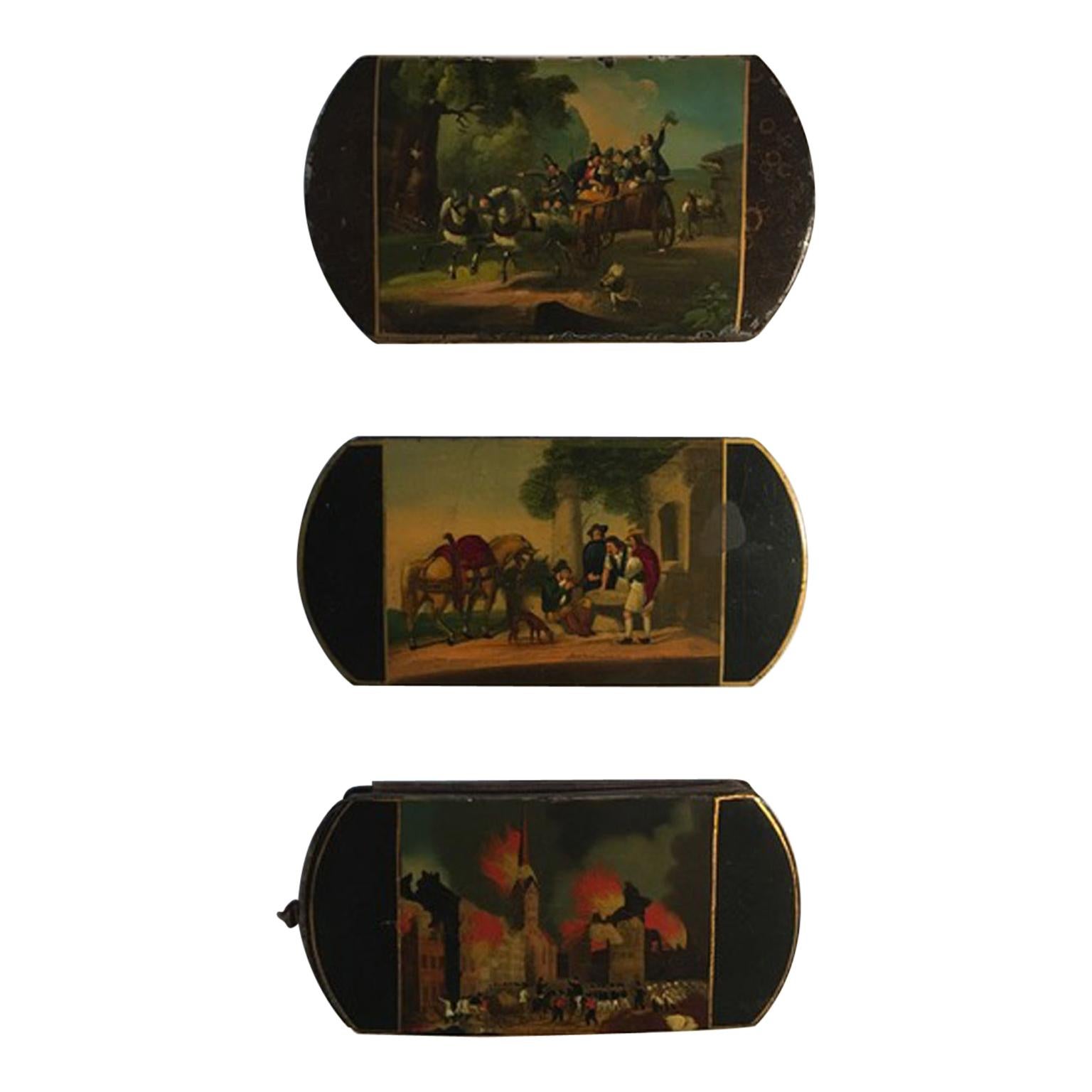
- Mid-18th Century Set of Three Wood Lacquered Boxes with PortraitsLocated in Brescia, ITThese fine wood lacquered wood boxes in Baroque style, are painted both on the sides: there's an elegant lady portrait on one side and on the other side, a natural landscape, so fine...Category
Antique Mid-18th Century Austrian Baroque Tobacco Accessories
MaterialsWood, Lacquer
 $1,934 Sale Price / set20% OffFree Shipping
 - Antique 18th Century Map of the Province of Pensilvania 'Pennsylvania State'Located in Philadelphia, PAA fine antique of the colony of Pennsylvania. Noted at the top of the sheet as a 'Map of the province of Pensilvania'. This undated and anonymous map is thought to be from the Gentleman's Magazine, London, circa 1775, although the general appearance could date it to the 1760's. The southern boundary reflects the Mason-Dixon survey (1768), the western boundary is placed just west of Pittsburgh, and the northern boundary is not marked. The map has a number of reference points that likely refer to companion text and appear to be connected to boundaries. The western and southern boundaries are marked Q, R, S, for example. A diagonal line runs from the Susquehanna R to the Lake Erie P. A broken line marked by many letters A, B, N, O, etc., appears in the east. There are no latitude or longitude markings, blank verso. Framed in a shaped contemporary gilt wooden frame and matted under a cream colored matte. Bearing an old Graham Arader Gallery...Category
Antique 18th Century British American Colonial Maps
MaterialsPaper