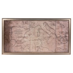
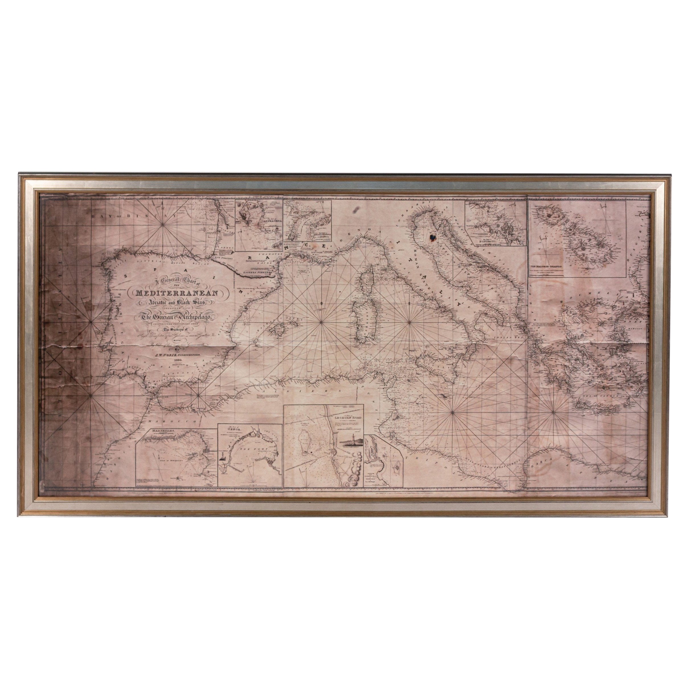
Vintage Nautical Map of the Mediterranean
View Similar Items


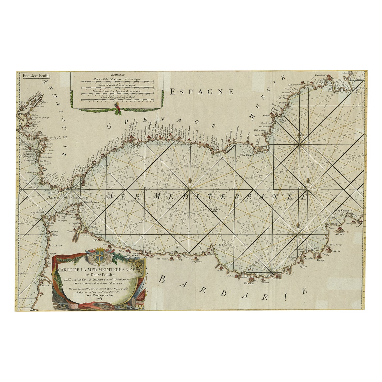


1 of 2
Vintage Nautical Map of the Mediterranean
About the Item
- Dimensions:Height: 58.75 in (149.23 cm)Width: 32.75 in (83.19 cm)
- Materials and Techniques:
- Place of Origin:
- Period:
- Date of Manufacture:20th century
- Condition:Wear consistent with age and use. Frame is new; map is vintage.
- Seller Location:West Hollywood, CA
- Reference Number:Seller: NTAI4341stDibs: LU85691157694
You May Also Like
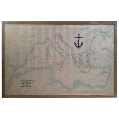
- Large Framed Map of the MediterraneanLocated in New York, NYLarge map/chart chart of The Mediterranean and the Grecian Archipelago showing Italy, Sardinia, Corsica, part of France, etc. in a black frame.Category
20th Century French Mid-Century Modern Maps
- Antique Map of the Eastern Mediterranean, C.1710Located in Langweer, NLAntique map Middle East titled 'De Beschryving van de Reysen Pauli en van de Andere Apostelen'. Antique map of the Eastern Mediterranean with det...Category
Antique 18th Century Maps
MaterialsPaper
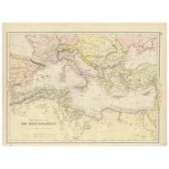
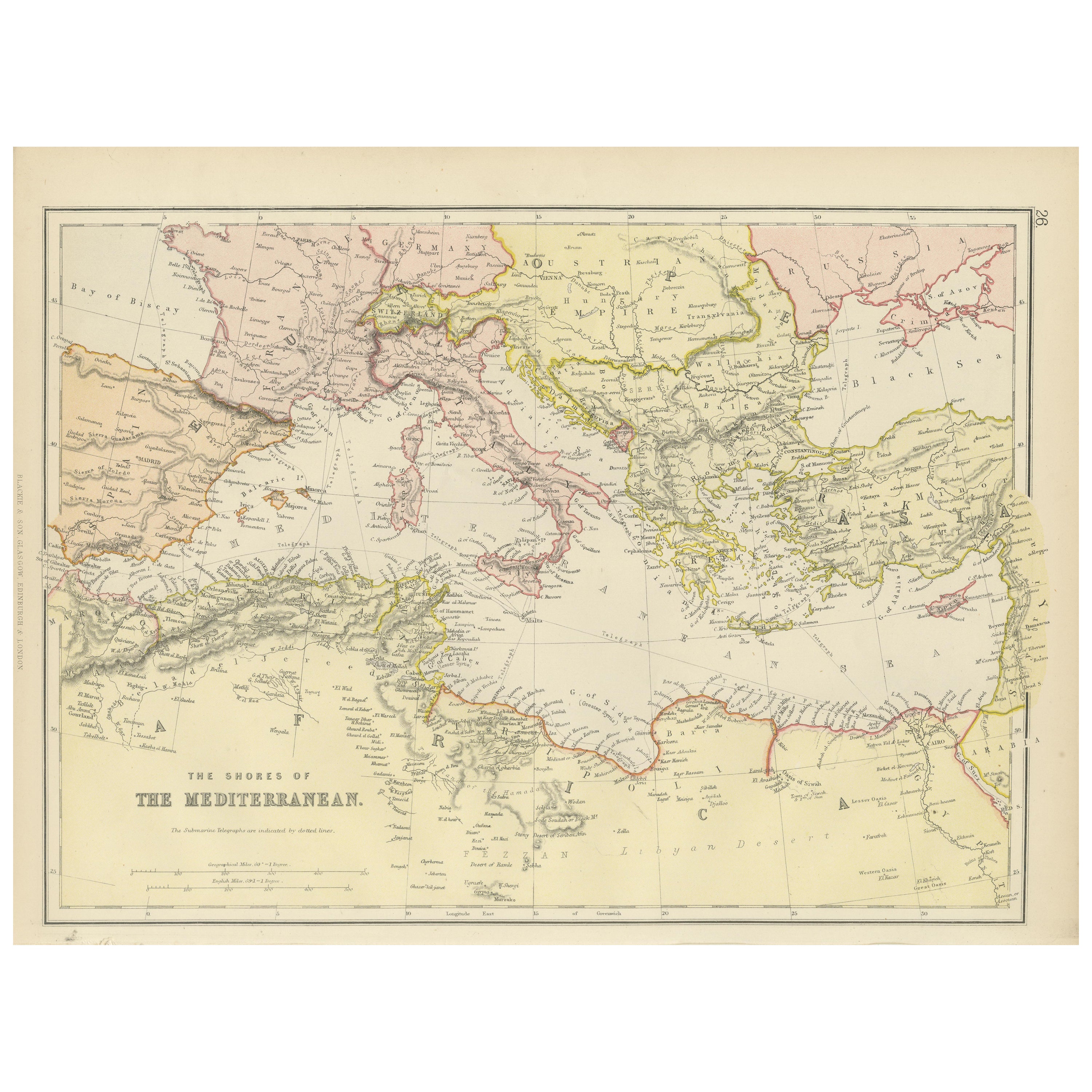
- Mediterranean Tapestry: A 19th Century Map of the Mediterranean Shores, 1882Located in Langweer, NLThis map, titled "The Shores of the Mediterranean," is part of the 1882 atlas by Blackie & Son, and it portrays the coastal regions that surround the Mediterranean Sea. It is a detailed representation of the diverse and historically rich countries that share the Mediterranean coastline, spanning from the Strait of Gibraltar in the west to the Levantine Sea in the east, and from the southern shores of Europe down to the northern coastlines of Africa. The map is a vivid document of the time, with each country along the Mediterranean basin meticulously outlined. The northern coast includes the southern parts of Europe, featuring Spain...Category
Antique 1880s Maps
MaterialsPaper
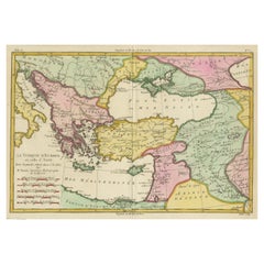
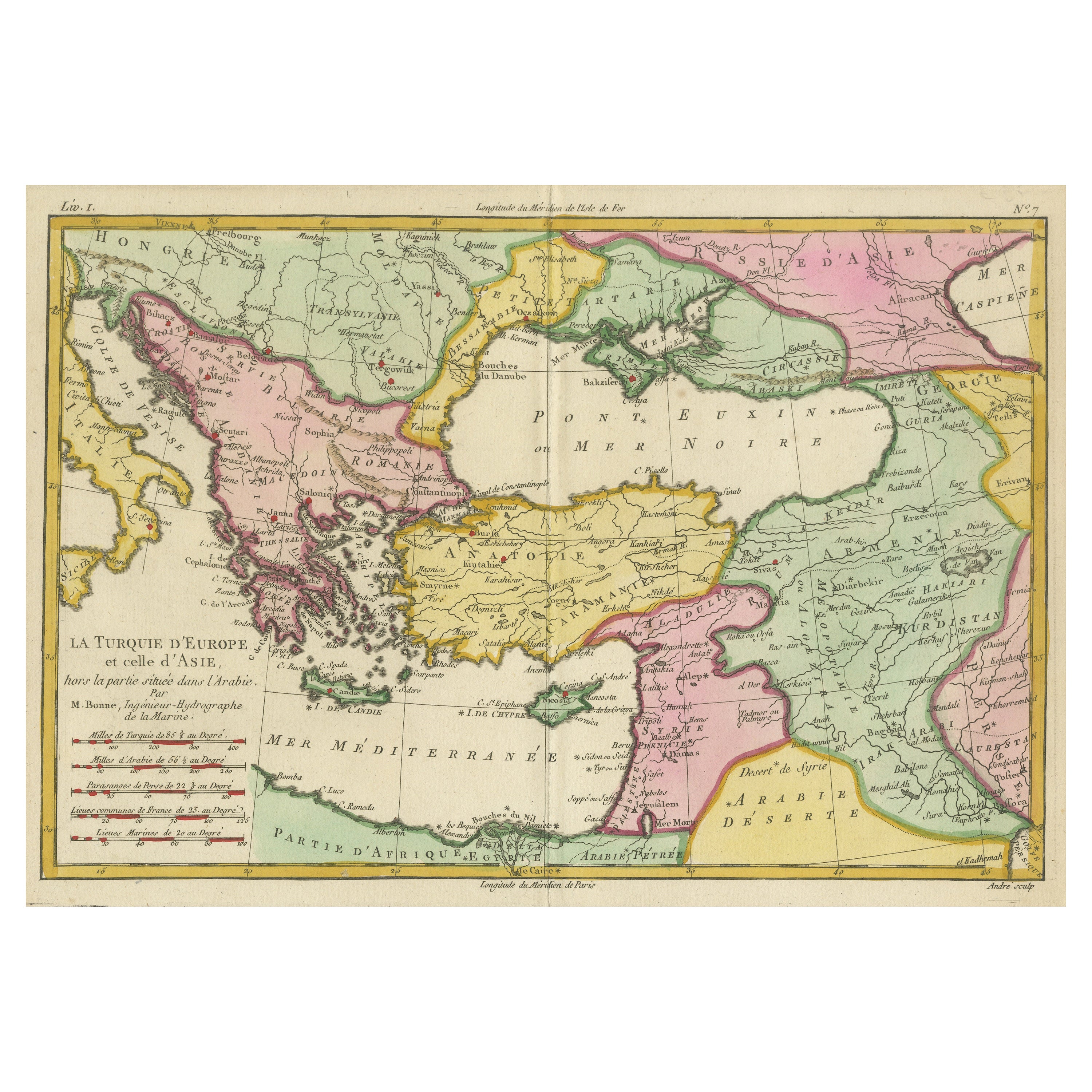
- Antique Map of the Eastern Mediterranean and the BalkansLocated in Langweer, NLAntique map titled 'La Turquie d'Europe et celle d'Asie'. Attractive double page map of the Eastern Mediterranean and the Balkans by R. Bonne. Originates from 'Atlas de Toutes les Pa...Category
Antique Late 18th Century Maps
MaterialsPaper
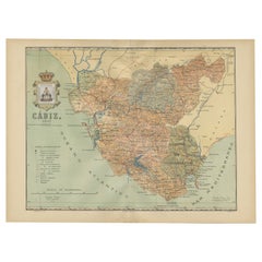
- Cádiz 1901: Nautical Crossroads of the Atlantic and MediterraneanLocated in Langweer, NLThe map illustrates the province of Cádiz, located in the autonomous community of Andalusia, Spain, from the year 1901. It displays various geographic and man-made features: The map...Category
Antique Early 1900s Maps
MaterialsPaper
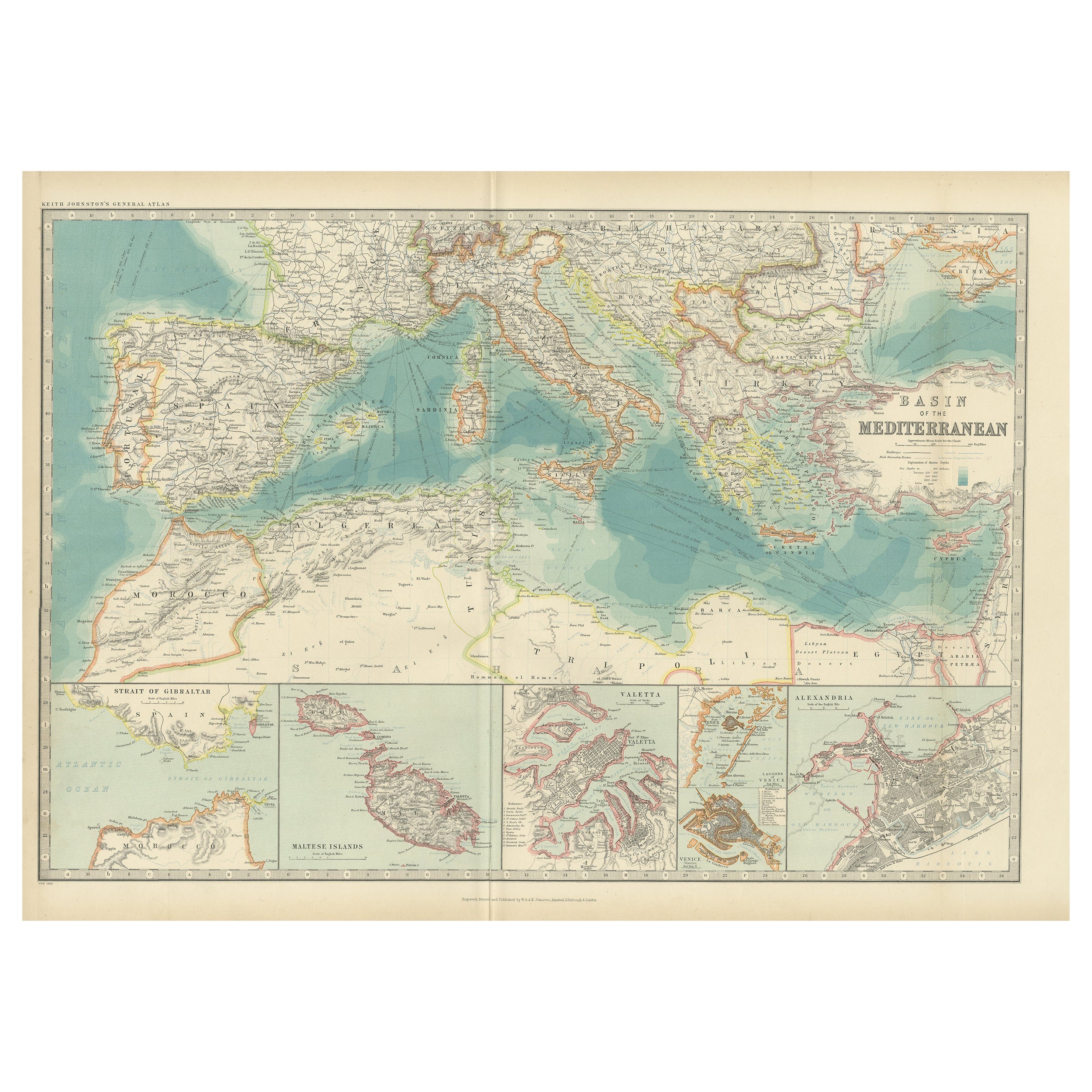
- Antique Map of the Basin of the Mediterranean by Johnston '1909'Located in Langweer, NLAntique map titled 'Basin of the Mediterranean'. Original antique map of the basin of the Mediterranean. With inset maps of the Strait of Gibraltar, Morocco, Maltese Islands, Valetta...Category
Early 20th Century Maps
MaterialsPaper